Far Easedale: Helm Crag, Gibson Knott & Calf Crag
14 August 2008
After a quiet morning watching persistent drizzle,
the day dried up and Stephen and George went for their first walk of the
Lake District long weekend, a walk from Grasmere along the ridge north
of Far Easedale and back along the valley.
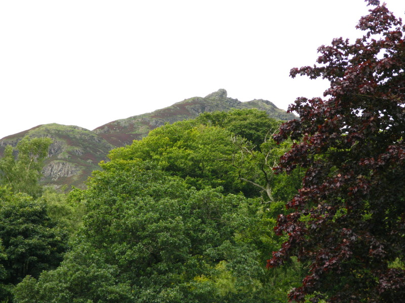
From Grasmere, a view of the summit of Helm Crag, our first objective (well,
sort of - see later).
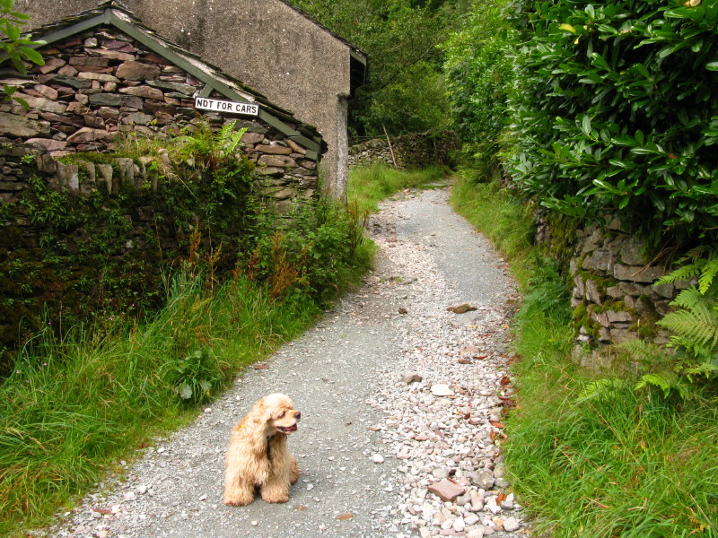
As we leave the Far Easedale Road, a sign says "Not for cars", which is fine by
George.
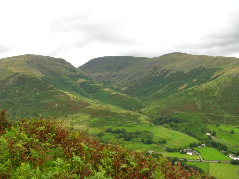
A fair way up Helm Crag, on the right is Far Easedale and on the left can be
seen Sour Milk Gill falling from the just-glimpsed Easedale Tarn, all of which
we saw during our outing in December.
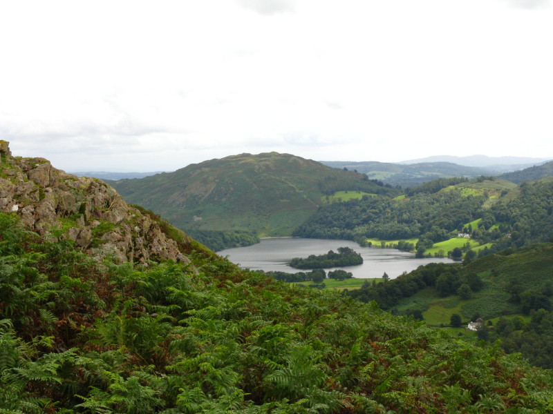
Continuing up Helm Crag, a look across Grasmere to Loughrigg Fell.
From Helm Crag, a look across to
Seat Sandal
on the left,
Fairfield centre with
Great Rigg
on the right and Great Tongue between them.
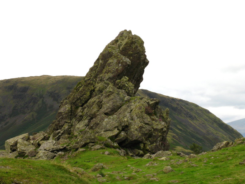
And here is the summit of Helm Crag. There is no scale in the picture, but it is
about 8 metres high.
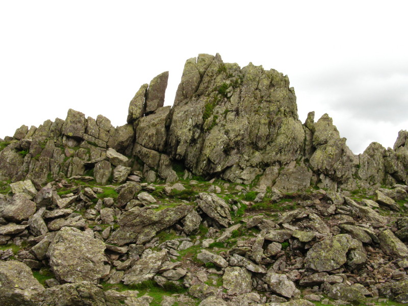
Here is the rock from the left side of the previous picture. The guidebook
recommended either a route up the right, or up the groove in the centre of the
big rock. I investigated both but, in the knowledge that this was the only
Lakeland summit that defeated Wainwright, I didn't push it too far. I watched a
few other people do the same, admired the view, and moved on.
Descending off Helm Crag (George just visible in front of the cairn), Gibson
Knott is the next summit along the ridge.
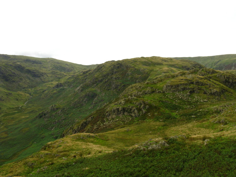
From Gibson Knott, looking towards Pike of Carrs
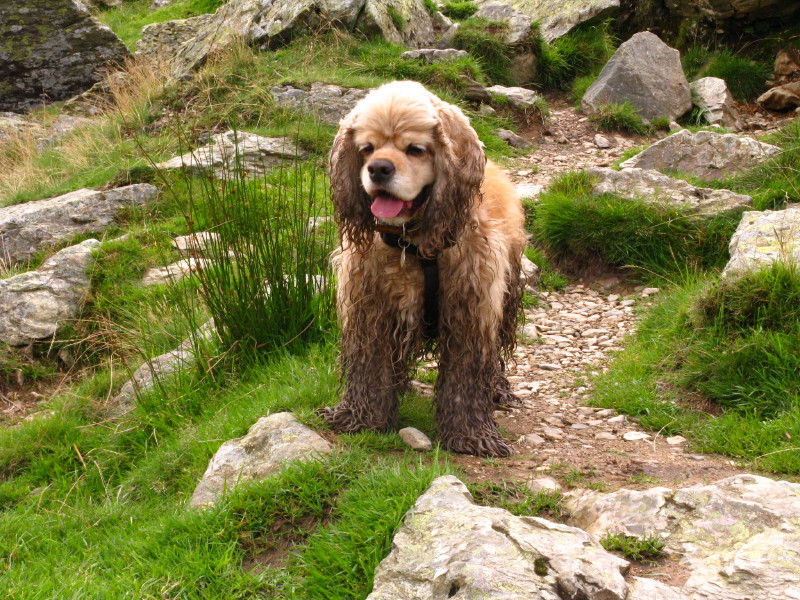
A muddy George
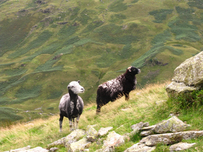
A couple of curious sheep watch George
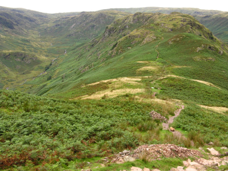
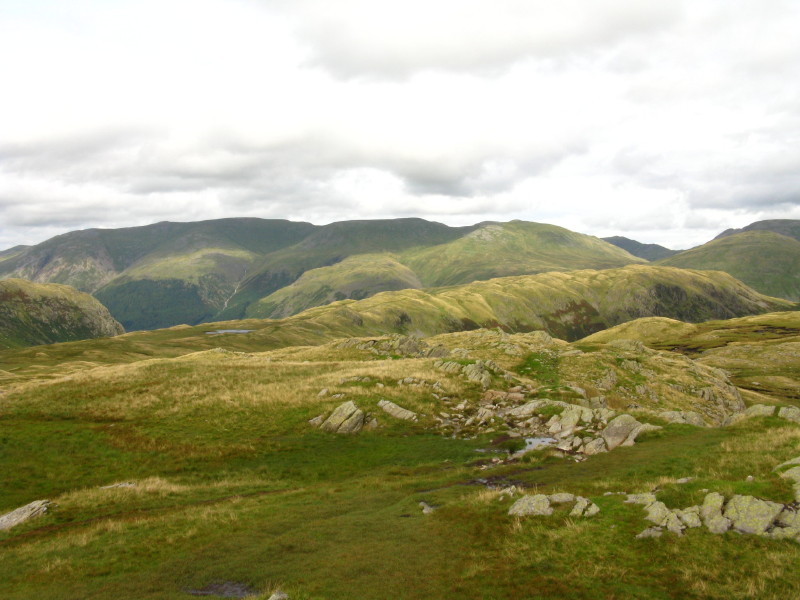
From Pike of Carrs, looking past Gibson Knott to Helm Crag, with Far Easedale
below
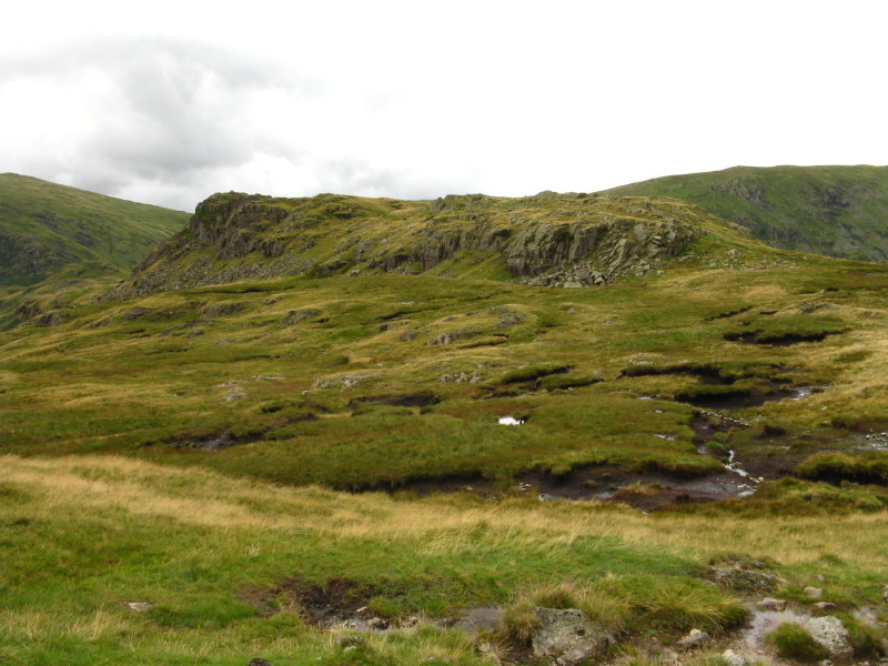
Calf Crag, with the eroded peat helping to explain George's muddy condition
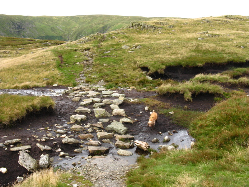
In places stones have been scattered to help the walker across the peat, but
George hasn't quite grasped the concept.
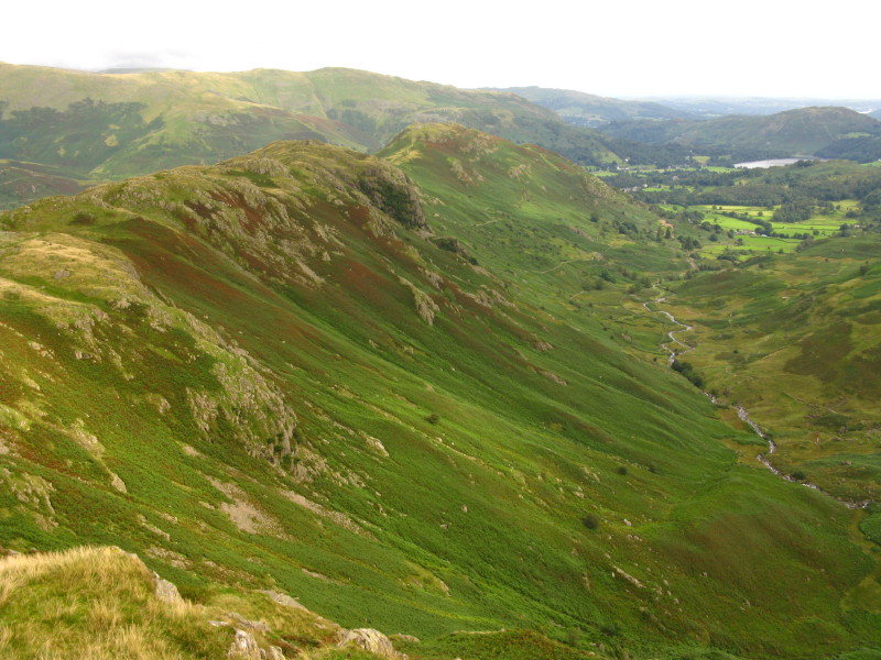
From Calf Crag, looking north-east to the Helvellyn range over the ridge to
Steel Fell; St Sunday Crag peeks through the gap between Dollywaggon Pike and
Seat Sandal and Fairfield.
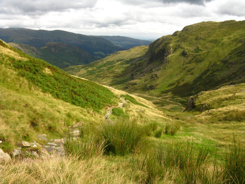
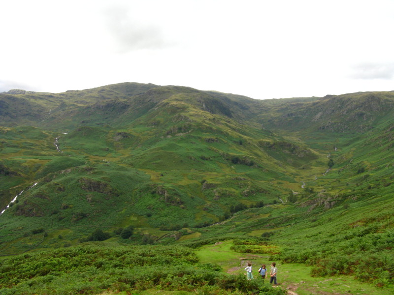
As we descend from the ridge into Easedale, the weather continues to improve
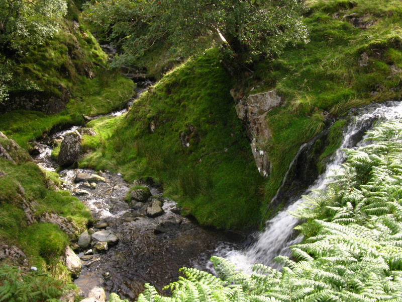
Water descends from top of picture and from the right - it secretly disappears
behind the outcrop on the left.
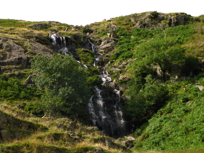
More waterfalls as we continue down Easedale.
Zoom in for more detail, or see map in larger window: Ordnance Survey |
Open Street Map |
Google Maps
An interesting and varied walk, away from the crowds, and with the sunshine at
the end improving things further.
Total distance 13.1 km with 717 metres of ascent in 4 hours 15 minutes.
Lake District holiday, August 2008
|
|