Wallowbarrow Crag
16 August 2008
After a family lunch at the Blacksmith's Arms in Broughton Mills, a
little tour by car into the Duddon Valley in the sunshine tempted
Stephen back there again later in the day. George was well on the mend
by this time, but to be safe he was left at home. Sadly so was the
sunshine, but it was still an interesting outing.
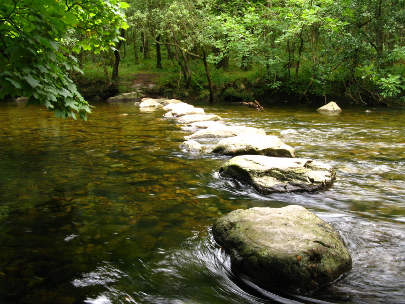
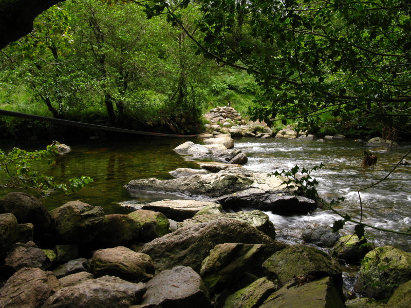
Stepping stones across the Duddon near Seathwaite. There is a bridge
just upstream, but that would be cheating.
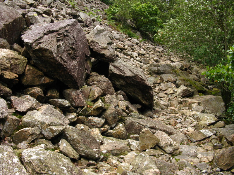
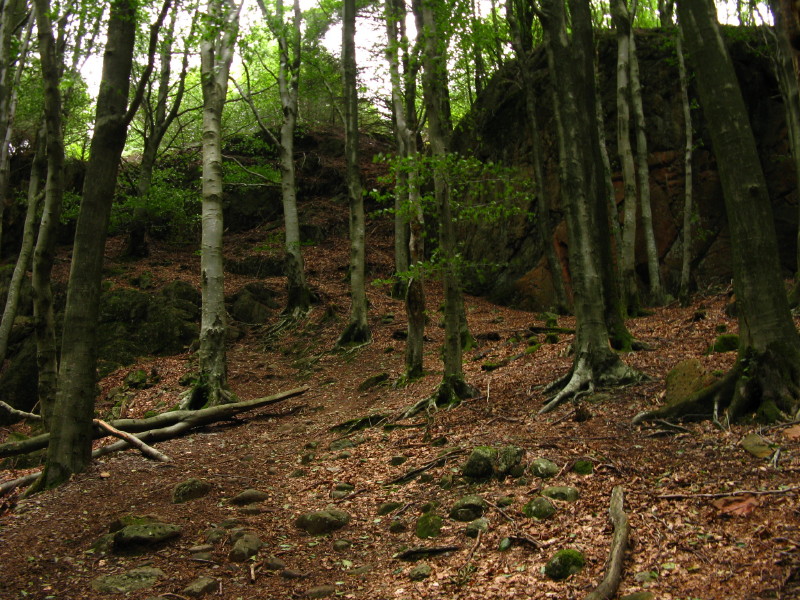
Once across the river, the second stage of the walk is upstream along
the permissive path to Fickle Steps. The first section of the path is
rather bouldery but not difficult.
The path gains height above Wallowbarrow Gorge
and there are hints of the river far below but out of sight
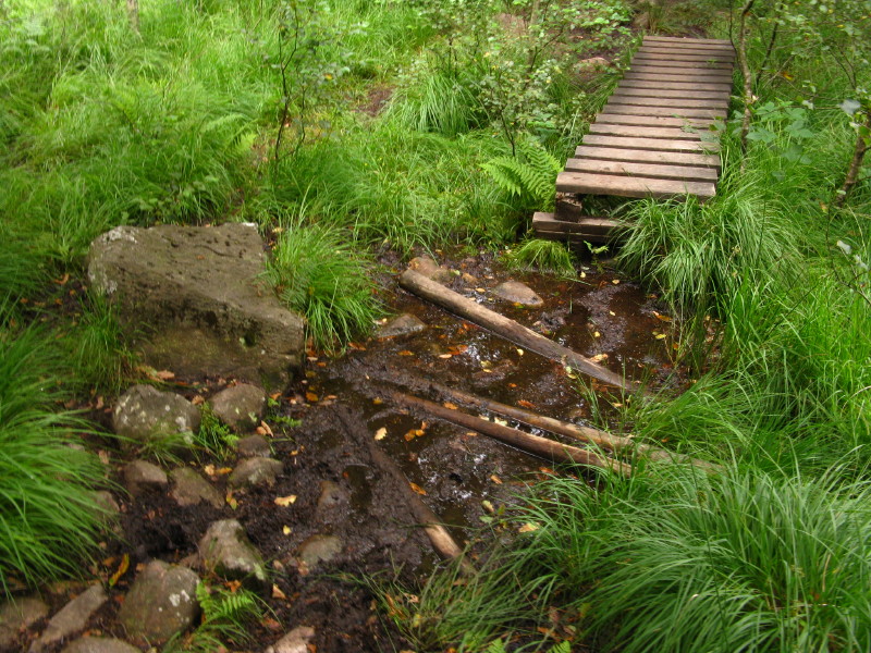
Although some money has been spent on the path, sadly not enough, and
there were quite a few spots like this where boardwalks both started and
ended in the middle of very damp patches. In another place, two posts
with arrows had been installed, pointing walkers into the middle of a
quagmire and by implication telling us to avoid the lovely grassy
alternative route. Come on National Trust, you can do better than this!
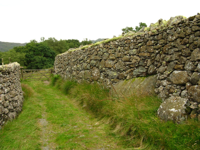
The next set of stepping stones across the Duddon is at Fickle Steps,
where we visited in May. Today my way lies behind me and up the path
ascending through woods to Grassguards.
The bridleway through the woods
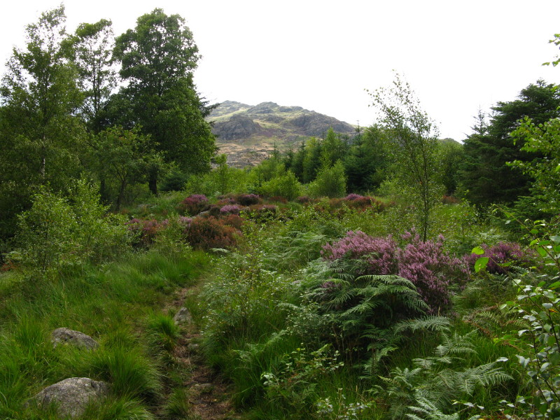
Emerging onto more open and younger woodland, a look towards Harter Fell
as I continue towards Grassguards.
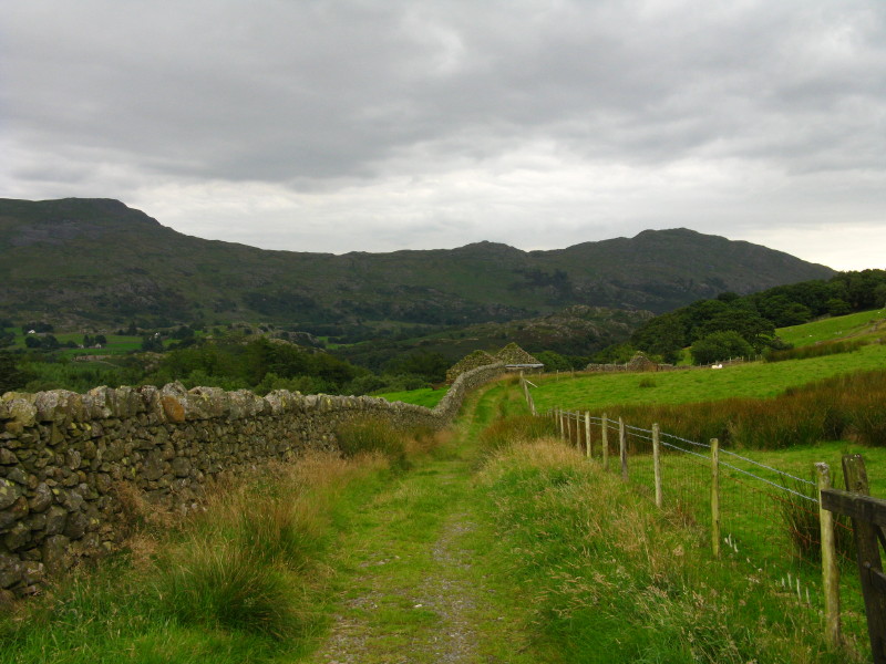
Once past Grassguards farm, the route turns south along a track which
approximately contours the hillside.
There are some impressive dry stone walls, including this one which
towers over me
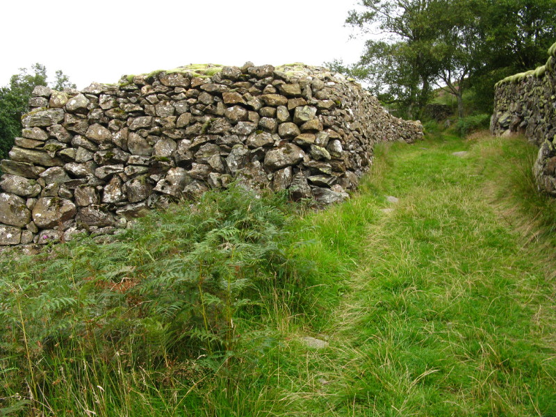
And this one (also pictured below) - that's not a corner in the wall,
but the thickness of the wall at the end.
It's also about four metres high on the lower side. It is perhaps a
reminder that the walls aren't just about creating field boundaries, but
are also a place to put all the stones cleared from the fields. And it
wouldn't surprise me if there is a very large boulder in the middle of
this one, which someone with a sense of humour has encased with the
wall.
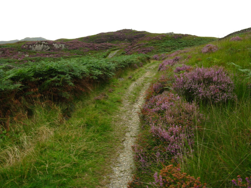
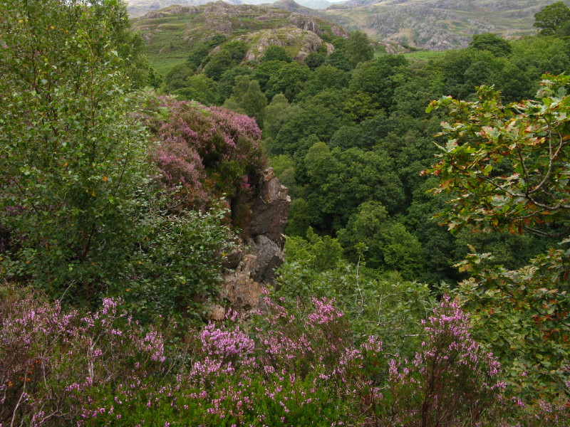
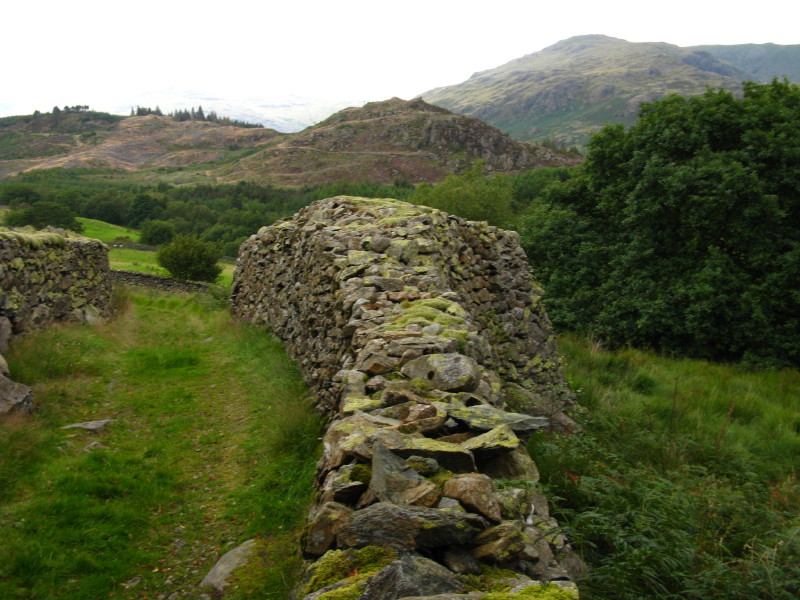
Continuing along the track through heather, in the centre of the picture
is the summit of Wallowbarrow Crag. (For anyone inspired to do this
walk, my advice is to leave the track about fifty metres south of its
westernmost point (very close to Stonythwaite), just next to a
metre-long oblong boulder, and to return the same way.)
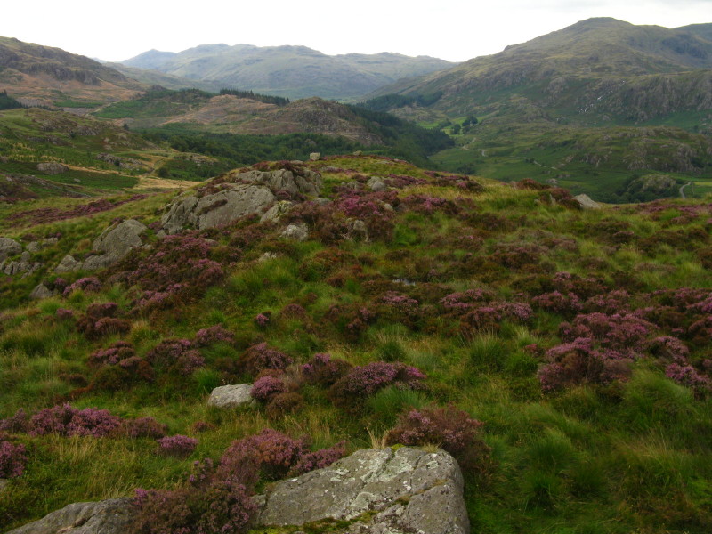
Looking north from the summit, the slopes of Harter Fell are on the left
and Grey Friar on the right, with in the distance Little Stand leading
on to Crinkle Crags and Bowfell
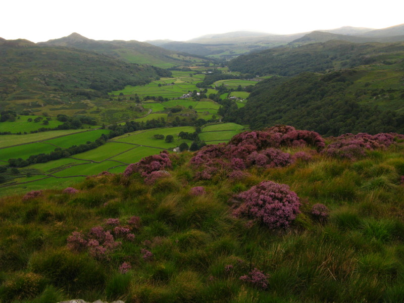
Looking south down the Duddon valley
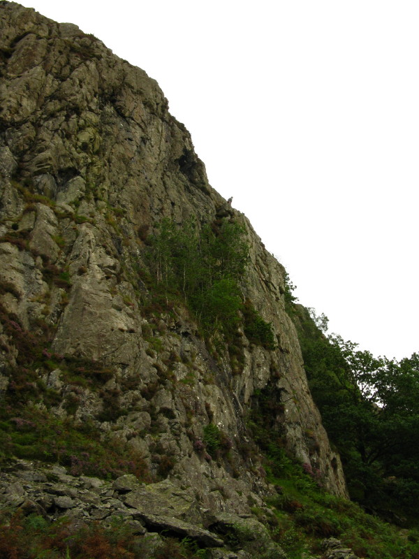
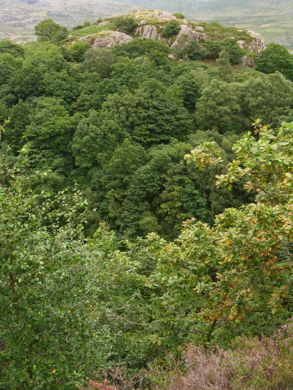
Continuing the descent along the track, a look up at Wallowbarrow Crag -
that's a climber poking out above the skyline near the centre of the
picture.
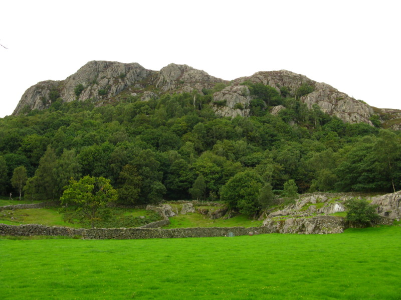
And another picture of Wallowbarrow Crag, a feature familiar to all
travellers along the Duddon valley.
Zoom in for more detail, or see map in larger window: Ordnance Survey |
Open Street Map |
Google Maps
An interesting little outing, getting to know better an oft-sighted but never
visited location.
Total distance 6.4 km with 375 metres of ascent in 2 hours 15 minutes.
Lake District holiday, August 2008
|
|