Hodbarrow Point
13 November 2008
After a morning working, it was time to go for a walk, but
with the rain falling, the wind blowing hard, and the sun setting early, a hill
walk wasn't on the cards, so Stephen and George set off for Haverigg and a walk
to Hodbarrow Point.
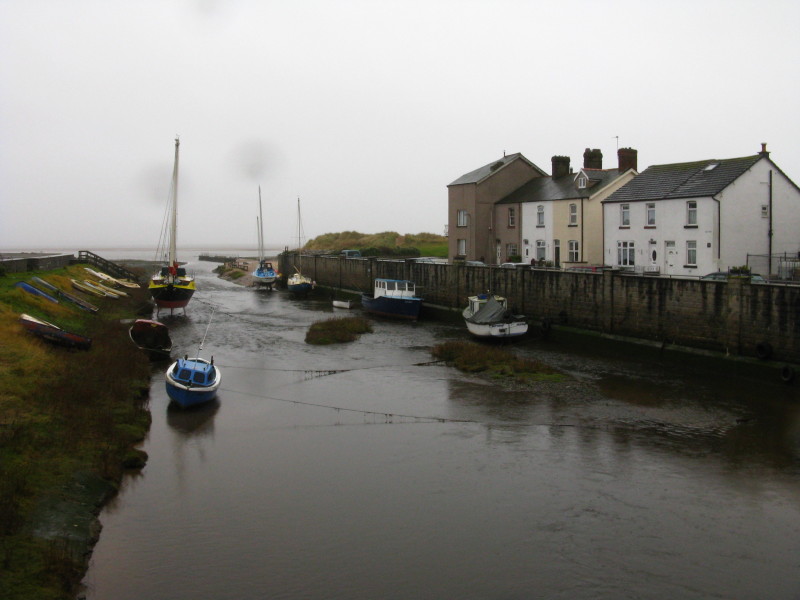
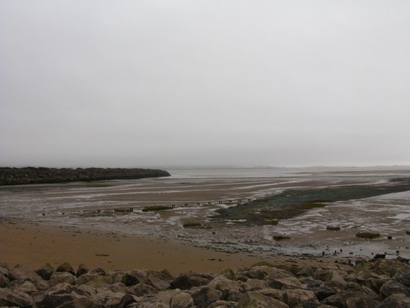
After parking by the sea, we cross Haverigg Pool - the splotches on the camera
lens hint at the wind blowing fine rain.
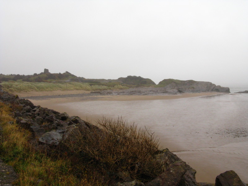
Looking back to Haverigg as we make our way along the Outer Barrier
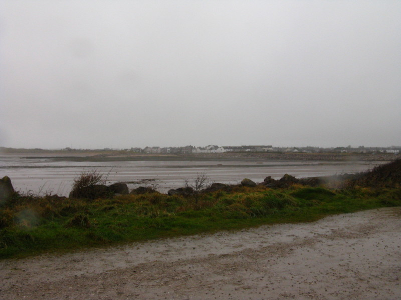
Looking the other way, past the line of the modern spit to separate the
water-skiing area from the nature reserve, the two remaining ends of the stone
sea wall can be seen across a wide gap. Hodbarrow was a mining area and
haematite was extracted until March 1968, by which time 25 million tons had been
extracted.
Being next to the sea, the mines were vulnerable to inundation. The first
defence was predominantly of wooden stakes and mud, but rapidly proved
inadequate. A new sea wall was built of stone, completed in 1890, but it too
failed due to subsidence caused by the mining and the shifting sand on which it
was built. A third defence, the Outer Barrier, was then built from 1900 to 1905,
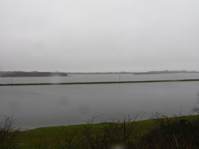
and this survives intact to this day. The water of the lake is largely
freshwater, its depth of up to 30 metres (and the total submergence of parts of
the 15-metre high stone barrier) showing how much subsidence there has been from
mining.
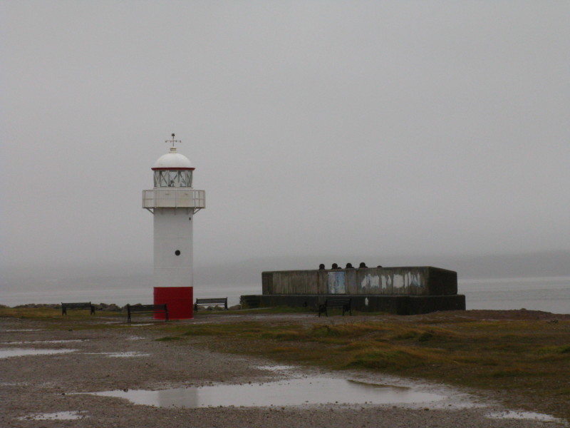
Hodbarrow lighthouse, derelict for many years but restored since 2003 with the
aid of a Heritage Lottery Fund grant. It originally began operations in July
1905. Declining trade at Duddon Port meant that the light ceased in 1949, but it
now shines again.
On the concrete sluice gate wall to the right of the lighthouse is a plaque
which reads:
Hodbarrow Mines
This block was laid
On the 13th April 1905
By
Harry Arnold Esq.
Chairman of the Hodbarrow Mining Company Limited
On the completion of
The Outer Barrier
Commenced April 1900
Hodbarrow Point and the stump of an old windmill, the first building at
Hodbarrow. It survives while the buildings associated with the mines have been
demolished.
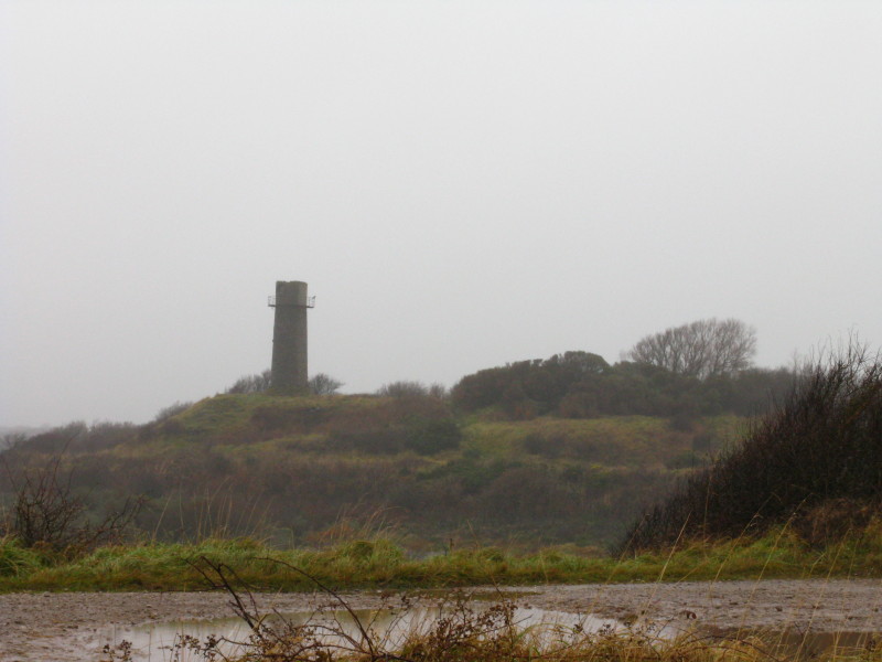
Hodbarrow Beacon - it was built in 1866 to guide ships into the mouth of the
Duddon estuary and safely past Hodbarrow Point to the company's pier at Millom,
but was replaced by the new lighthouse on the Outer Barrier in 1905.
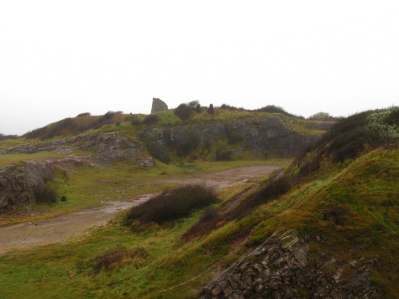
Another view of the windmill from Hodbarrow Point
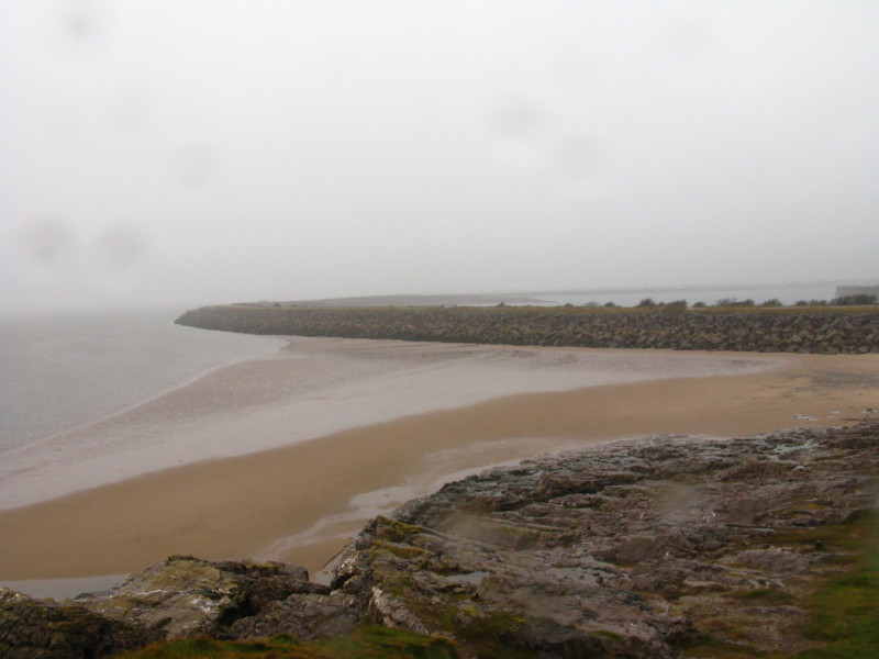
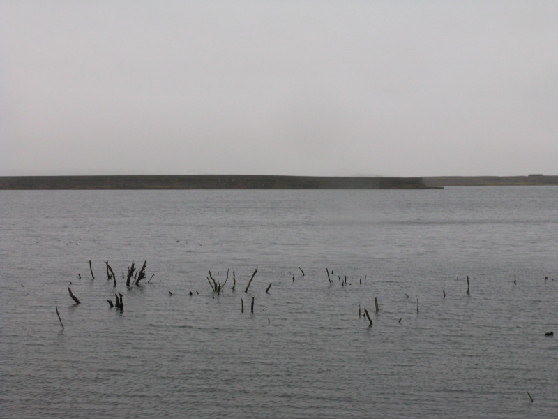
Looking back at the Outer Barrier
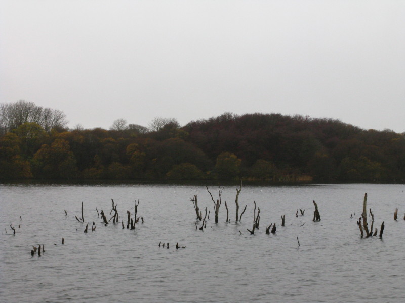
Continuing our circuit of the nature reserve, the trees in the water, together
with the modern reinforcements we are standing on, suggest more recent
subsidence.
Past flooded trees to the remains of the inner barrier
Returning to Haverigg, a last look at the Outer Barrier, and the sea.
Zoom in for more detail, or see map in larger window: Ordnance Survey |
Open Street Map |
Google Maps
Total distance 6.5 km in 1 hour 34 mins.
A pleasant historical outing - but it would be much more pleasant on a calm
sunny day!
Lake District holiday, November 2008
|
|