Tarn Crag via Grey Crag and Harrop Pike
15 November 2008
A long-planned outing was made today to the relatively
little-known Longsleddale for a visit to Tarn Crag and its neighbours Grey Crag
and Harrop Pike.
From the end of the tarmac road along Longsleddale, heading up the road as it
continues up the valley, eventually the road becoming a byway which crosses over
Gatescarth Pass into Mardale
Part of the reason for the long delay in coming to Longsleddale was the concern,
not allayed by anything I'd read and certainly not by the map, that there would
be somewhere to park. Well, this spot might well fill up at busier times of the
year, but there was space for quite a few cars at the end of the tarmac road.
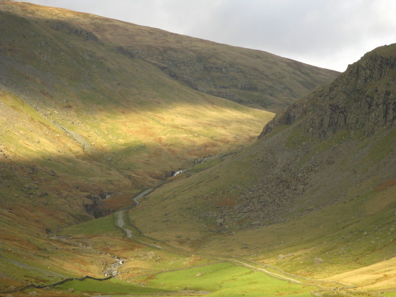
The River Sprint heads down Longsleddale: on the right is Buckbarrow Crag behind
which lies Tarn Crag
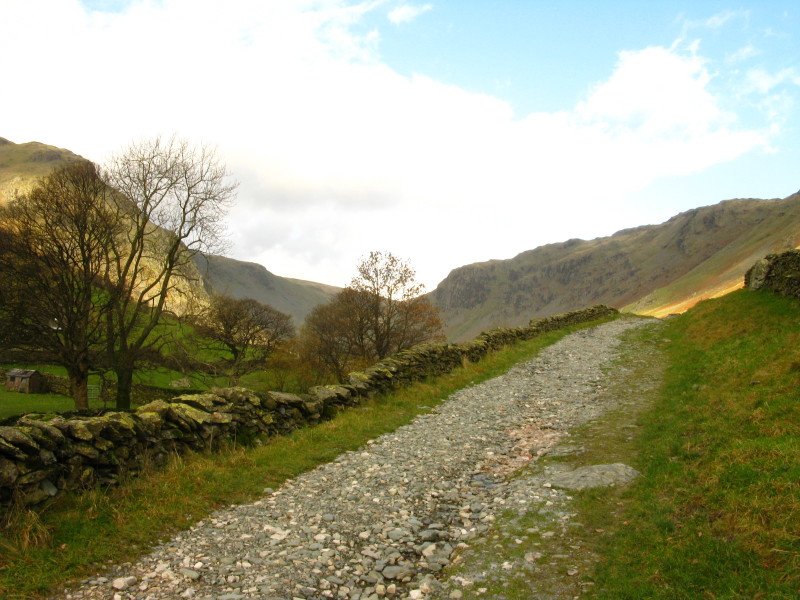
As we begin our ascent, a close-up of the road climbing towards Gatesgarth Pass.
We will descend the road later this afternoon.
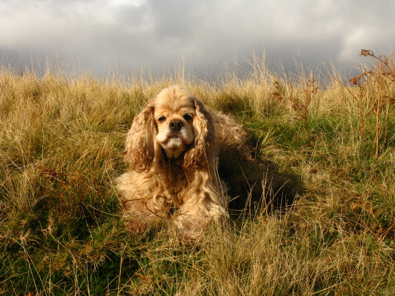
George in the sunshine.
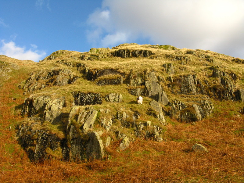
A sheep and crags in the sunshine
Making our way along the wall before continuing our ascent of Great Howe
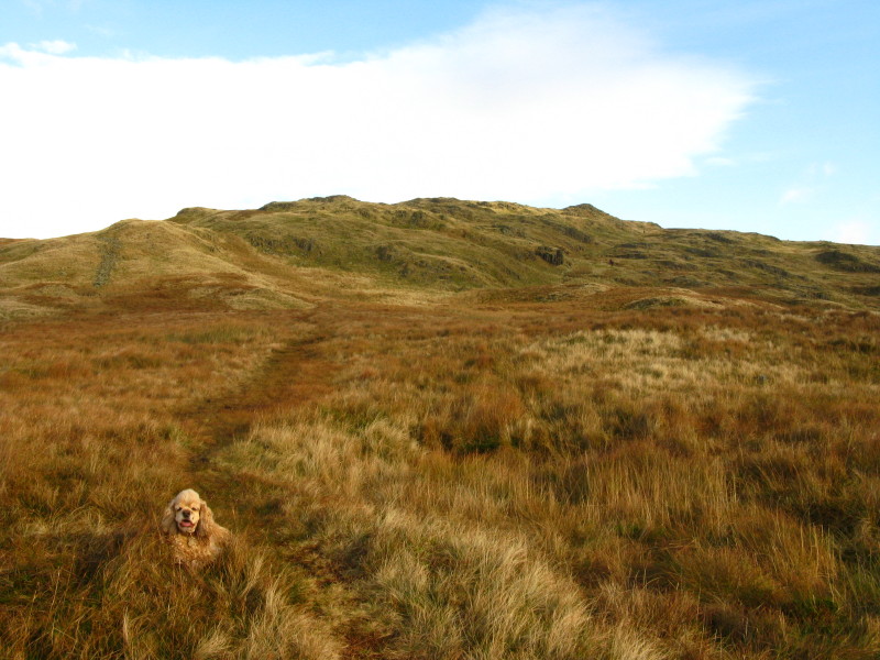
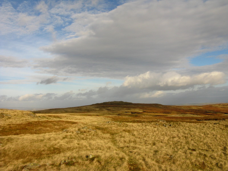
Now on the level ridge of Great Howe heading to Sleddale Fell of which Grey Crag
is on the right.
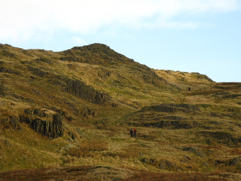
Three people ahead of me, two going up the same way and one running down.
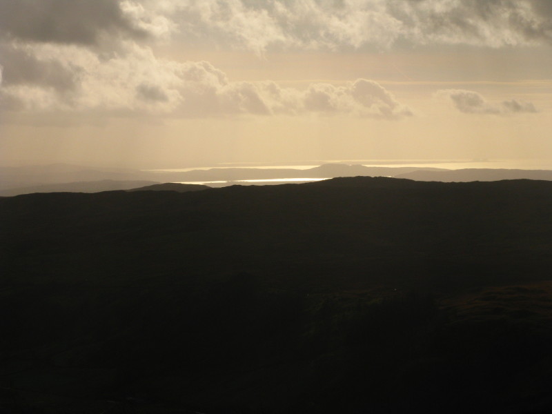
Looking across Longsleddale to the sea
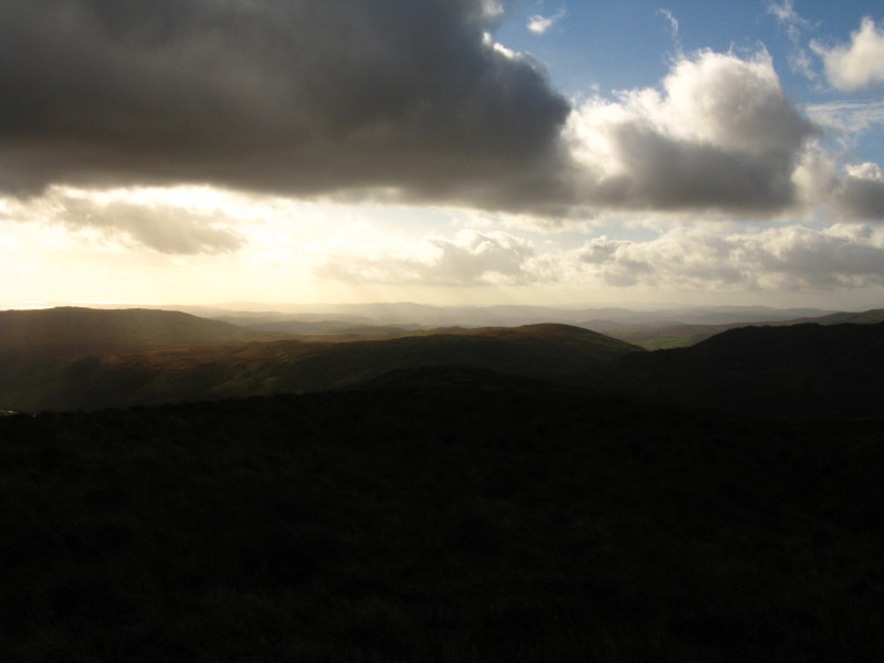
A bit further to the west, layer after layer of hills
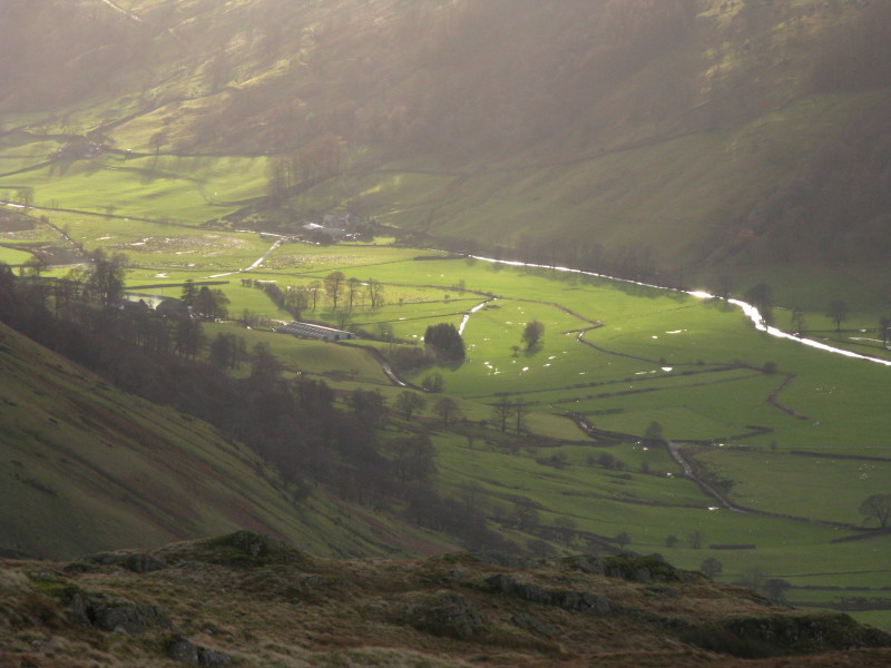
Looking down on the glinting fields of Longsleddale
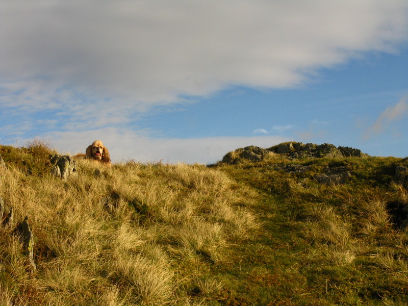
George waits for me on Grey Crag
From near the summit of Grey Crag, looking to the tall cairn (just visible) on
Harrop Pike
And Tarn Crag (centre) beyond which lies the higher Harter Fell and Kentmere
Pike on the left
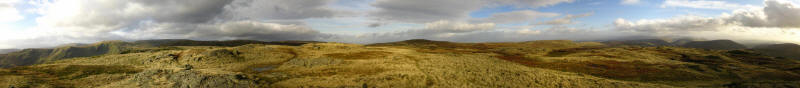
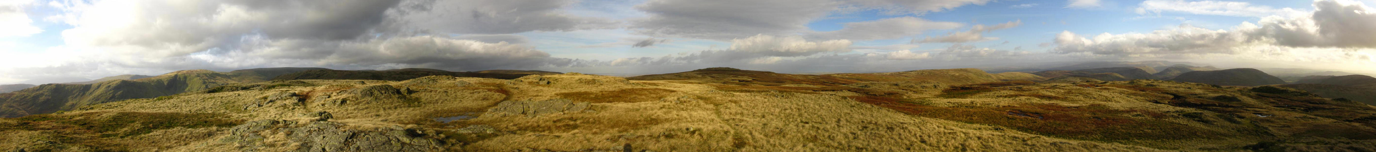
A panoramic photo from Grey Crag - click the picture for a larger version.
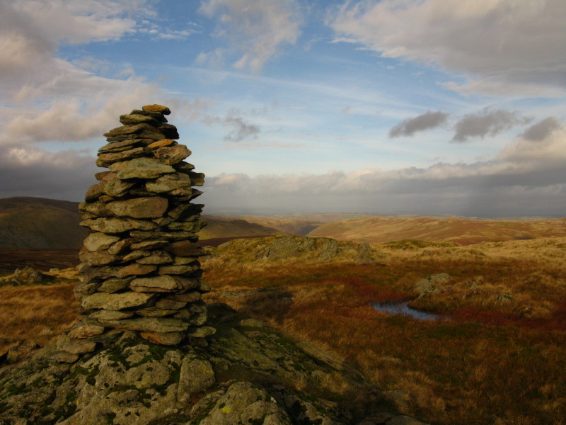
A view down Little Mosedale and across the Shap Fells from the impressive cairn
on Harrop Pike
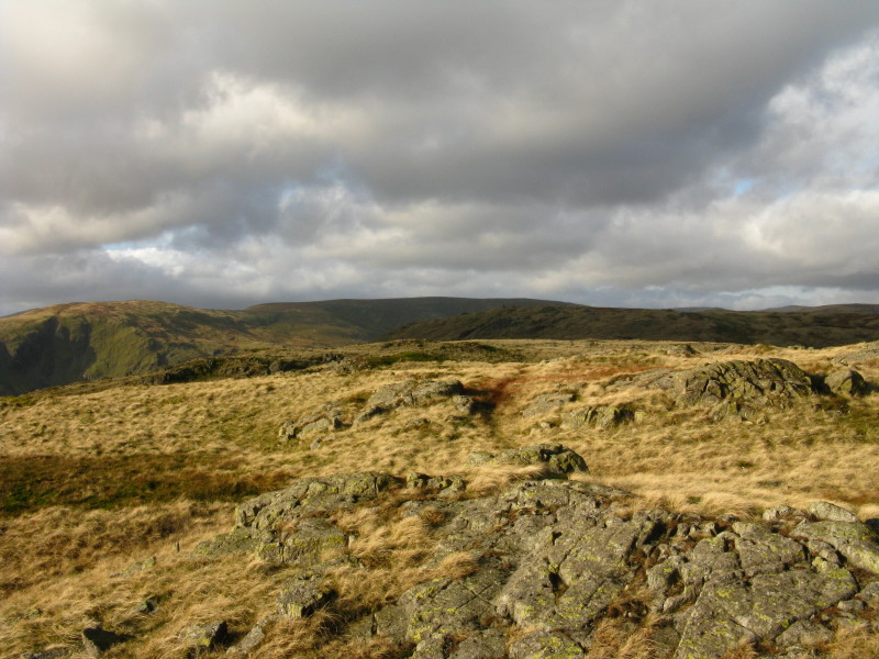
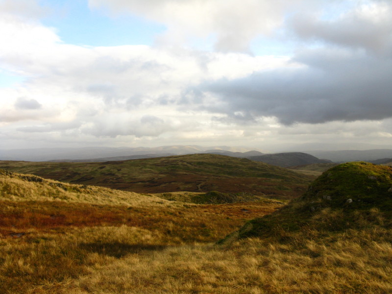
Following the fence back towards Sleddale Fell (Grey Crag on the left of the
ridge)
We have reached Sleddale Fell and turned right 90° and crossed the fence which
we continue to follow to our next destination, Tarn Crag on the left of picture.
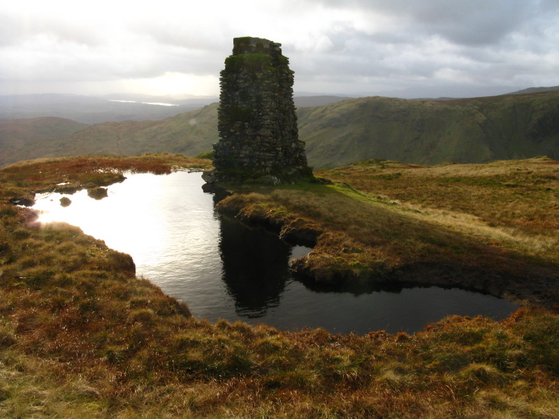
Near the summit of Tarn Crag is this interesting structure. It is the remains of
a survey column built by the Manchester Corporation in connection with the
construction of the Longsleddale Tunnel carrying the Haweswater Aqueduct. In the
distance the sun glints on Windermere.
Looking south past Grey Crag to the Howgill Fells
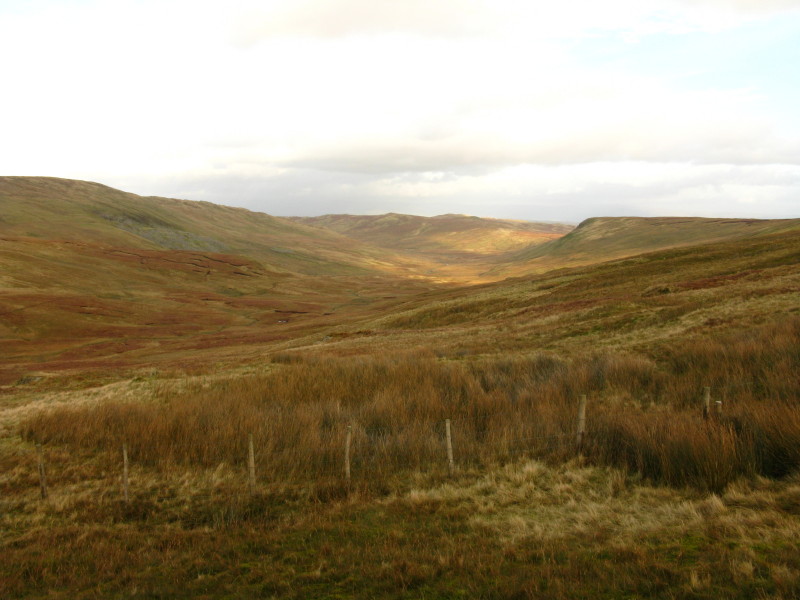
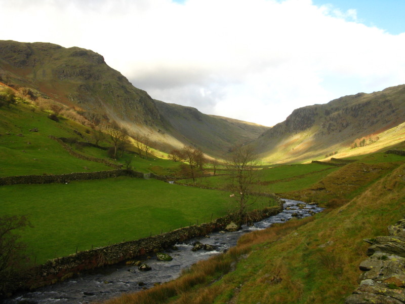
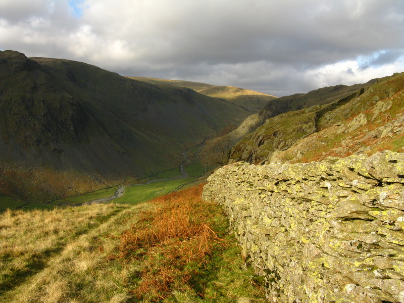
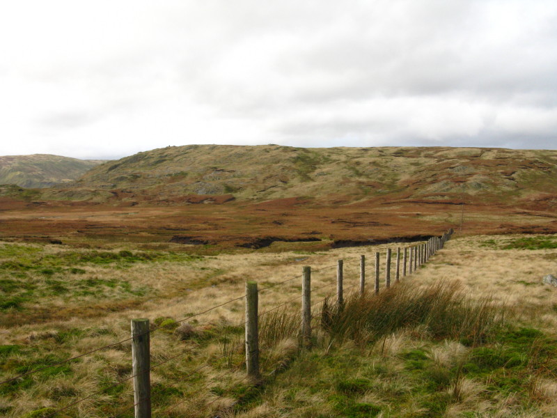
As we descend alongside our trusty friend the fence, a view down Mosedale
Descending to the rather damp pass, with Branstree beyond
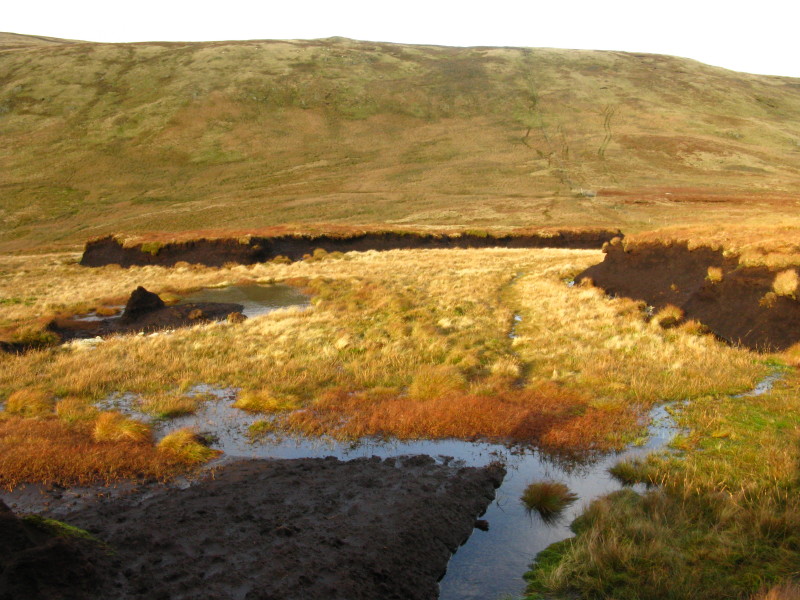
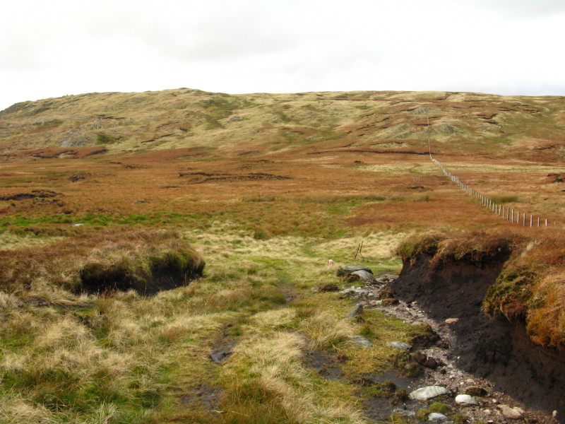
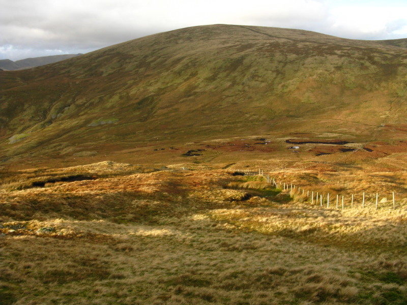
The path became rather damp in places.
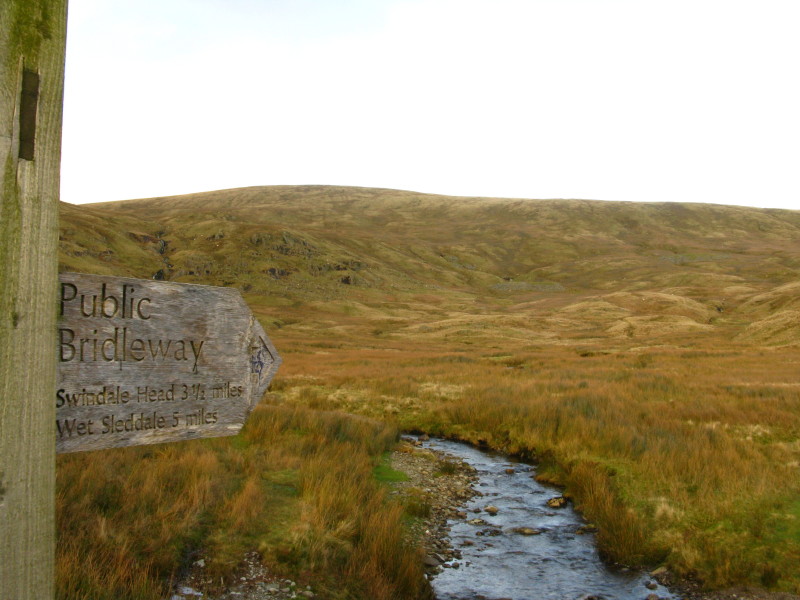
After reaching the col we turned left and descended along a bridleway to the
byway: I lost the path at one point, but the path was so boggy it made little
difference. I wonder whether a more direct descent from Tarn Crag down to the
byway wouldn't have been easier as the beaten track was not easy going.
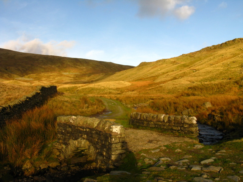
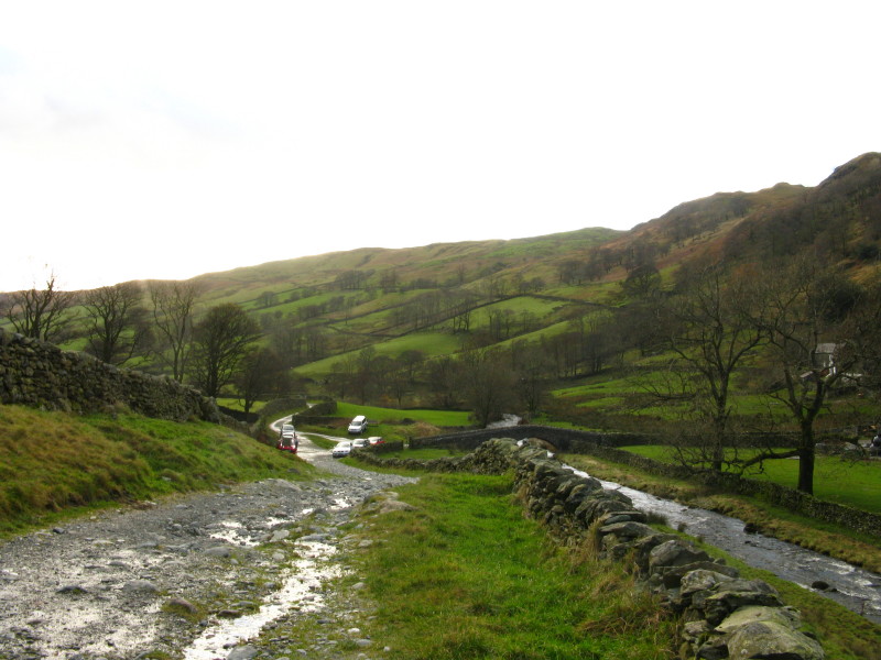
Looking back up the valley across an attractive little bridge as the road takes
us down.
Descending the road into Longsleddale.
Zoom in for more detail, or see map in larger window: Ordnance Survey |
Open Street Map |
Google Maps
A rather damp walk after the summit of Grey Crag, but still an interesting
expedition. Total distance 11.0 km and 575 metres of ascent in 3 hours 48 mins
Lake District holiday, November 2008
|
|