Woodland Railway Line
3 May 2008
On arrival in Broughton late in the afternoon, a shortish walk was
just what was needed to unwind, and the railway line footpath to
Woodland was a good choice.
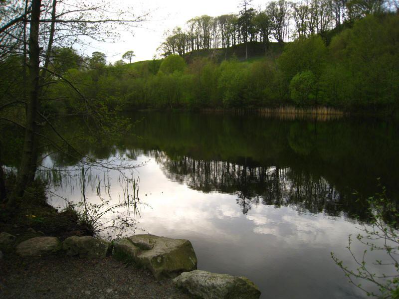
The little tarn between the railway line and Broughton Park
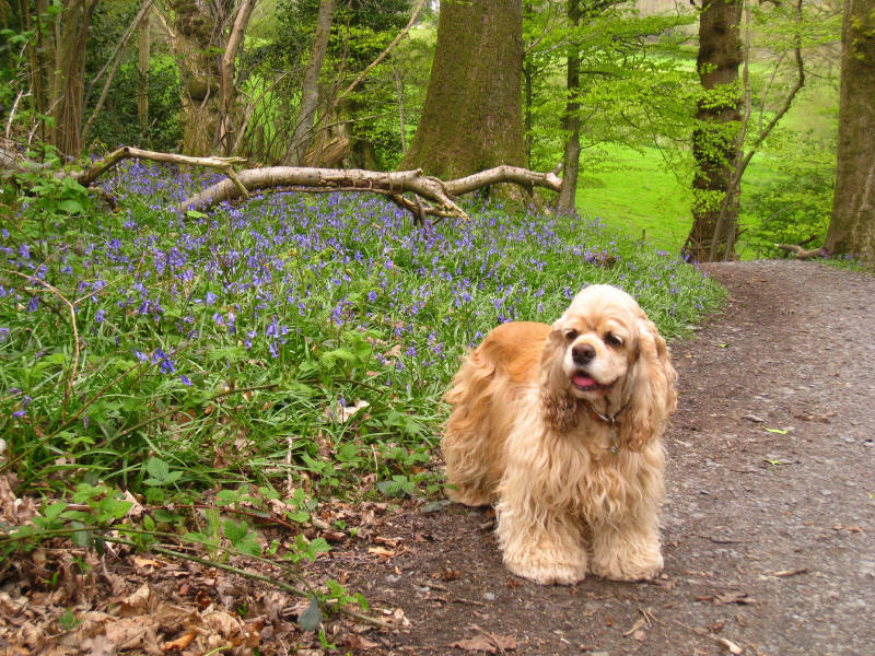
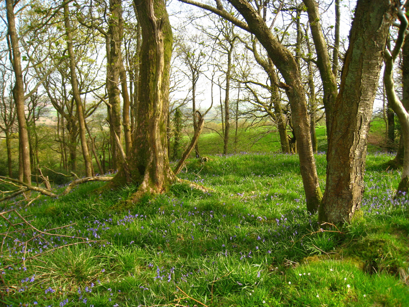
As the route along the railway comes to an end, the footpath zigzags down the
hill through bluebells to the road.
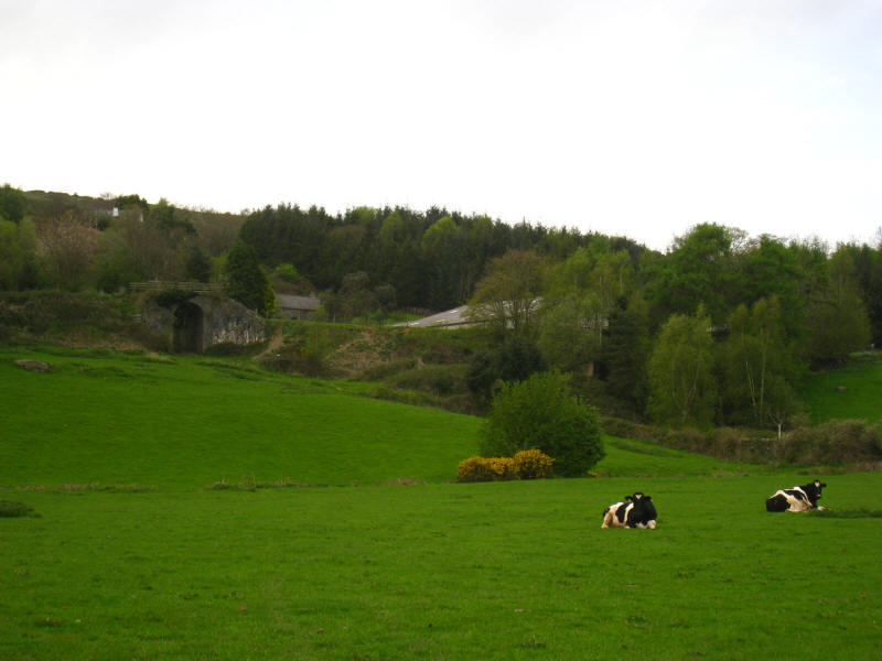
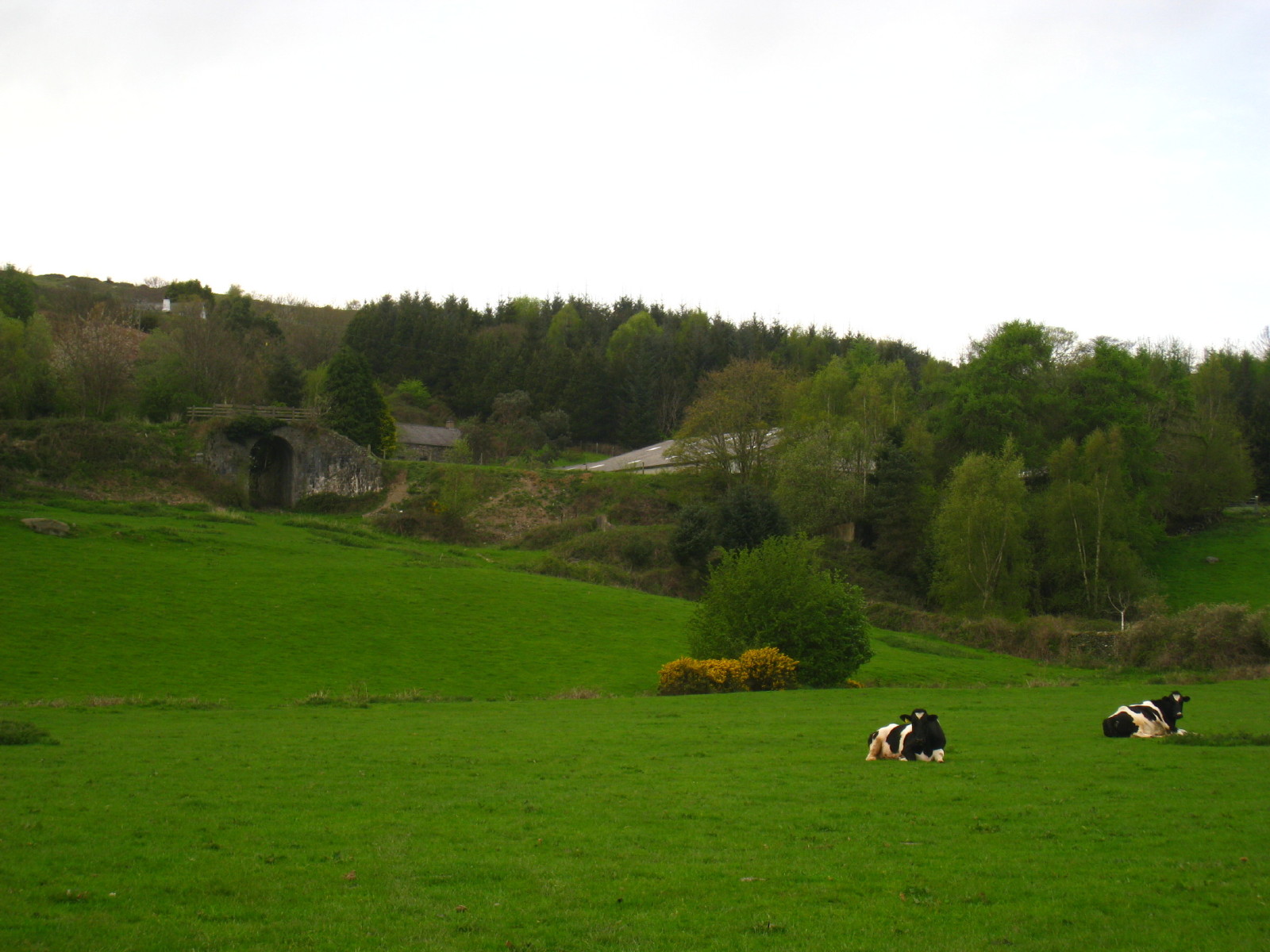
Walking along the road, the route of the railway can be seen by the bridge:
clearly the embankment has lost a lot of height in the last forty-five years

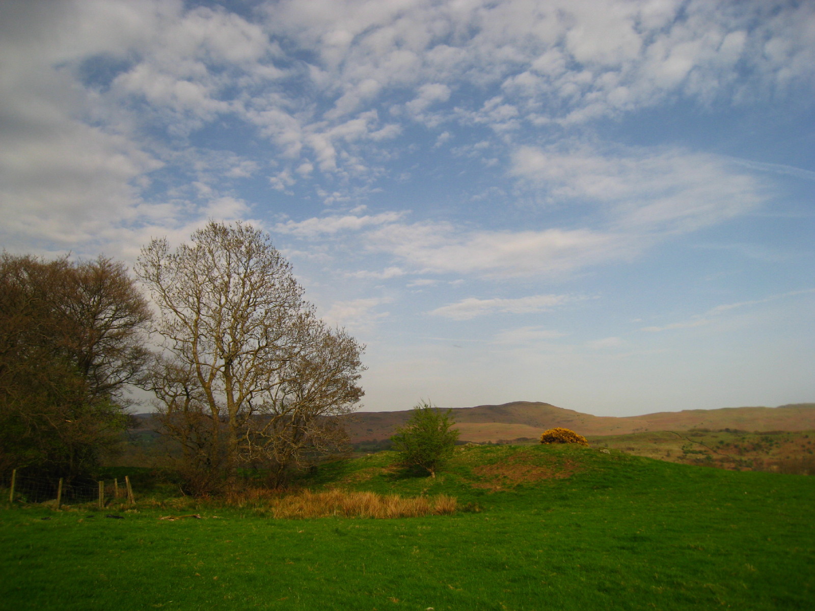
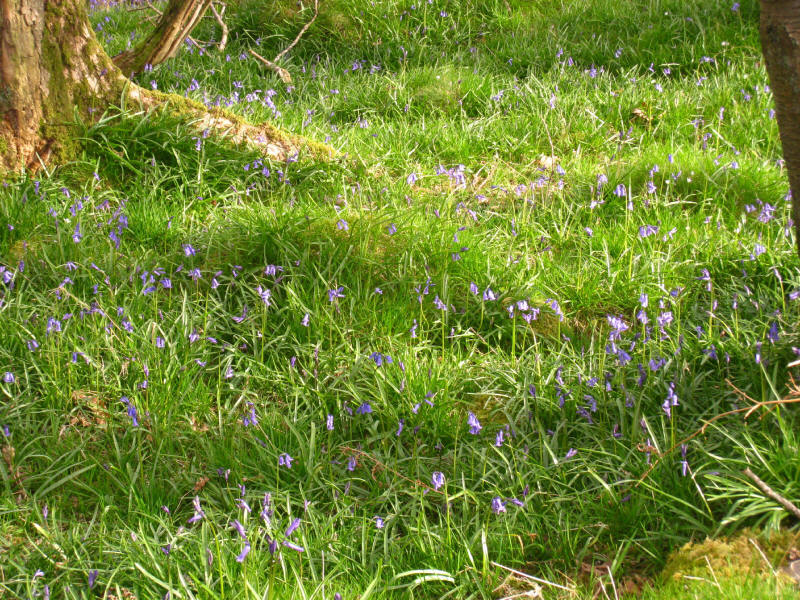
Walking back along the ridge, more bluebells
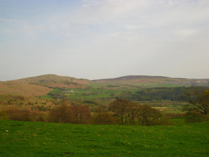
Great Burney and
Kirkby Moor

Zoom in for more detail, or see map in larger window: Ordnance Survey |
Open Street Map |
Google Maps
Total distance 6.9 km, approx 200 metres of ascent, in 1 hour 15 mins
Lake District holiday, May 2008
|
|