Switzerland: First to Schynige Platte
9 July 2009
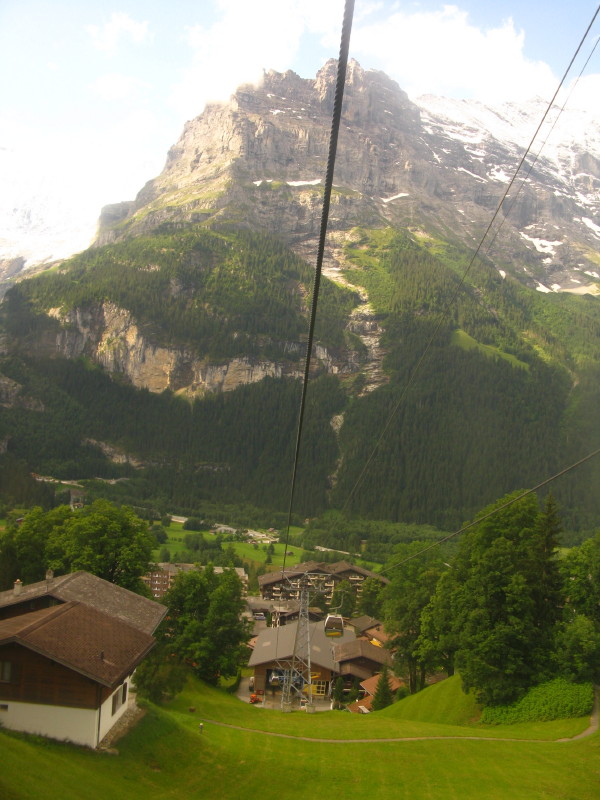
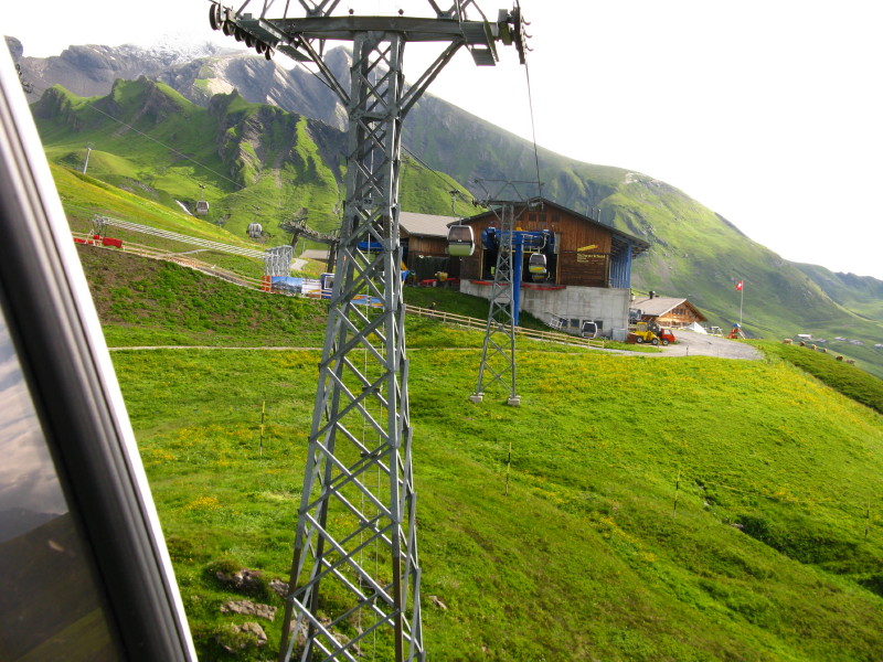
After using the 0835 from Interlaken Ost to Grindelwald again, we now
take the Grindelwald-First gondola. I'd not used one of these before -
it is something between a cable-car and a chairlift. As it was
relatively quiet we got a car to ourselves, which was great. Looking
down on the Grindelwald station, behind is the Eiger.
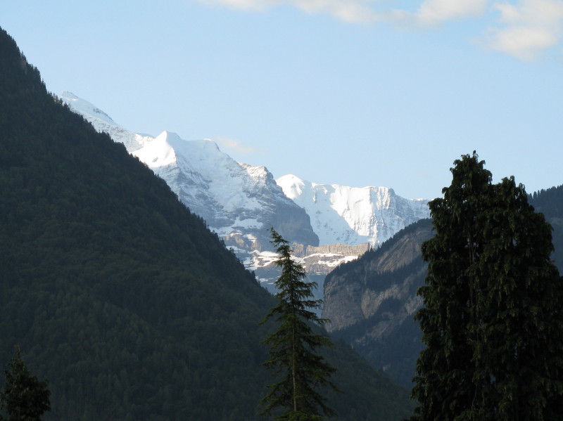
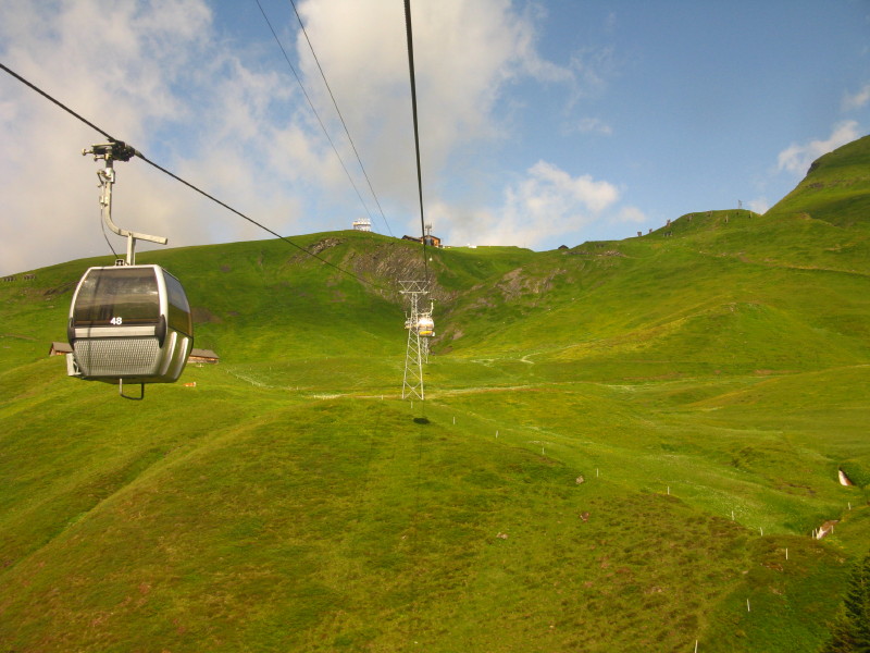
Mountains from the gondola.
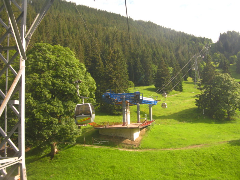
About to go round a corner
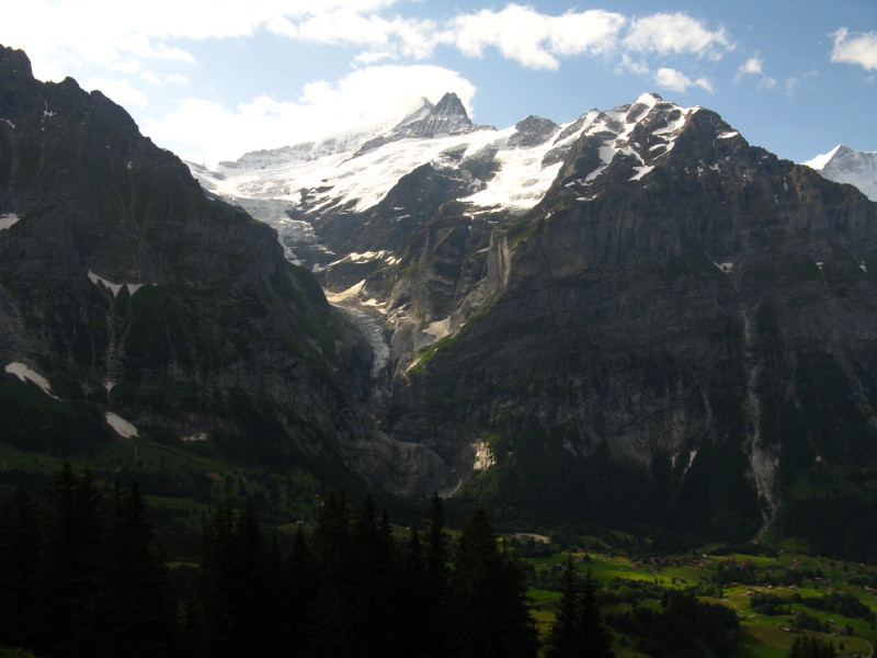
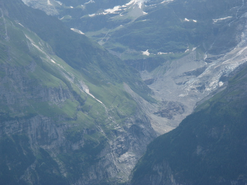
The upper Grindelwald glacier - I think the high summit is the
Schreckhorn
Approaching the second intermediate station at Schreckfeld, where the
line turns sharp left
Heading for the top station at First, at 2166 metres
The figure on the right is me, fetching Dad's trekking pole which he'd
put down and forgotten to pick up
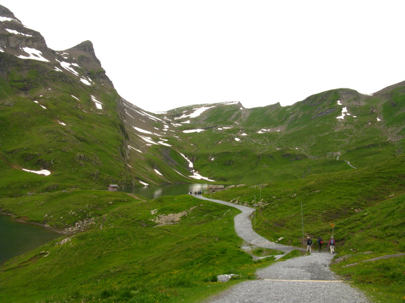
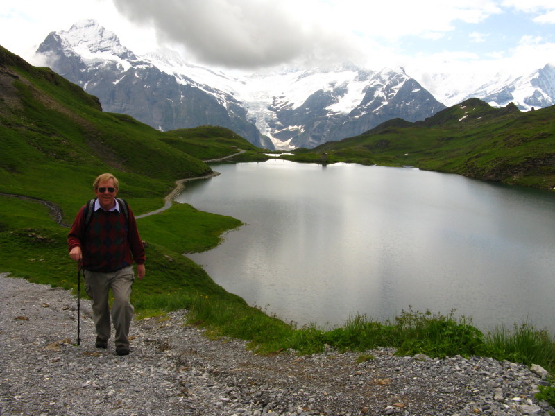
Approaching the Bachsee after a relatively gentle climb to 2265 metres.
Ahead the climb to the col at 2553 metres is rather steeper.
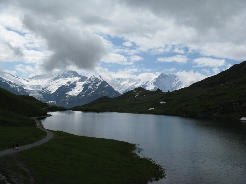
In better weather, the view back over Bachsee to the high mountains and
glaciers is a classic one, but today is impressive but not quite so
photogenic.
Gaining height
Getting close to the col
Soon after the col, we must decide whether to turn left and descend to
Bussalp, or continue for another 10km but still largely downhill route
to Schynige Platte. If going to Bussalp we might divert to the hotel on
top of the Faulhorn at 2680 metres.
In the end, we decided to go on to Schynige Platte - Dad takes the
direct route, below, while I make the diversion to the top of the
Faulhorn.
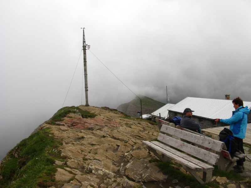
The view of cloud and rooftops at 2680 metres.
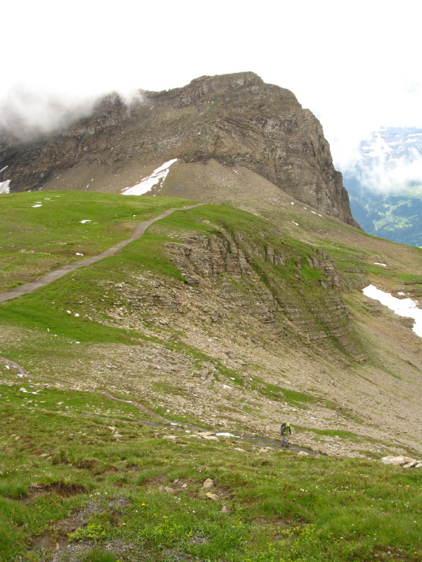
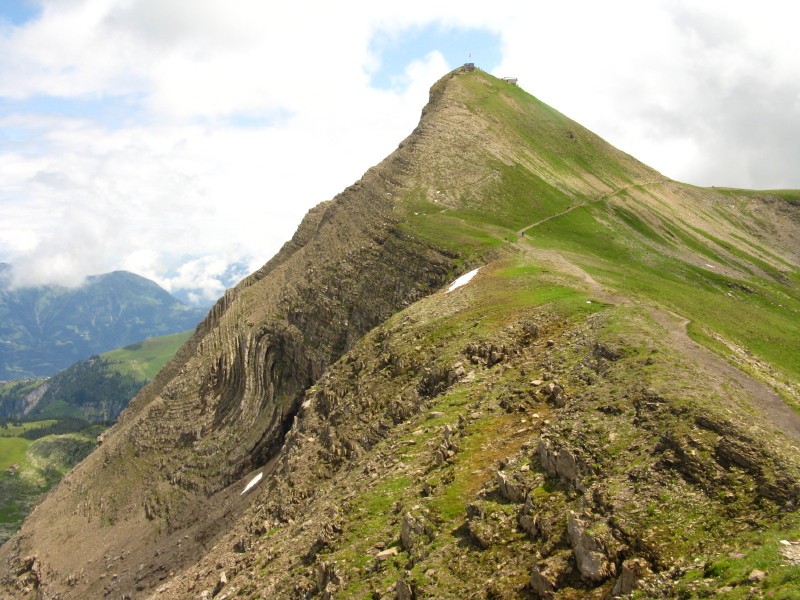
Descending the steep ridge to the main path. Our way will lie over that
first rounded summit, towards the higher summit beyond but then
eventually descending to the col which has the long line of snow
pointing at it, then slanting down across the side of the next ridge to
then travel along the valley on the right of the photo.
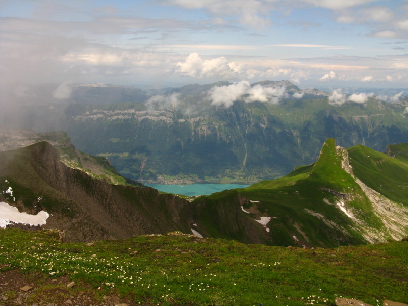
Looking across the Brienzersee
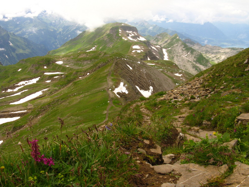
Reunited, from our lunch spot looking back to the Faulhorn - Dad's route
slanting across the flank, mine just visible zigzagging down the steep
slope from the top.
A long zoom into the valley we walked along two days ago: the path can
be seen in places on the steep slope on the left, with the Bäregg
guesthouse just visible just to the left of the centre of the picture.
Me below the steep cliffs of Winteregg
Dad crossing some snow
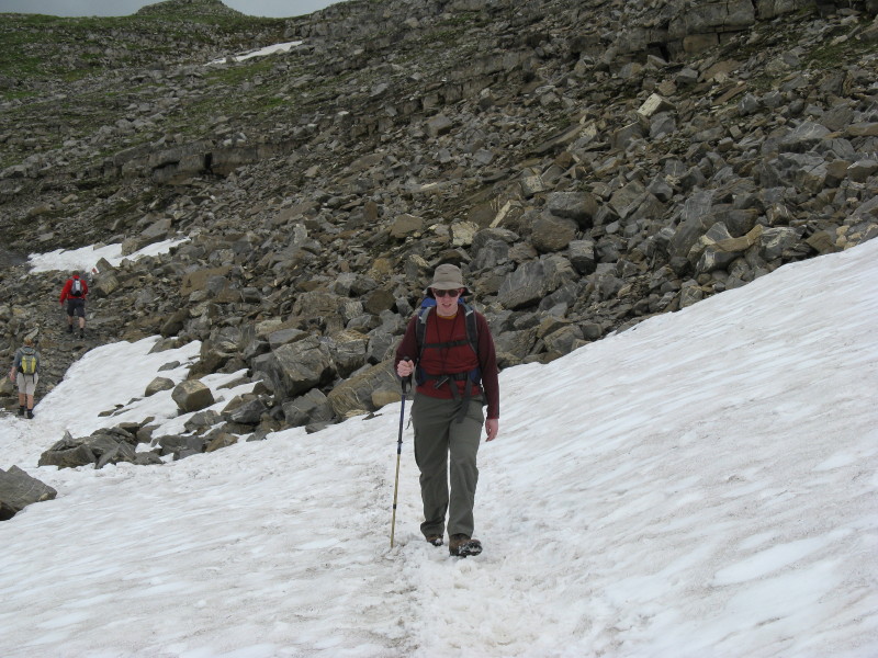
And me
The Berghaus Männdlenen restaurant and guesthouse is just visible beyond
the crag in the middle distance. From there the path slants down to the
right
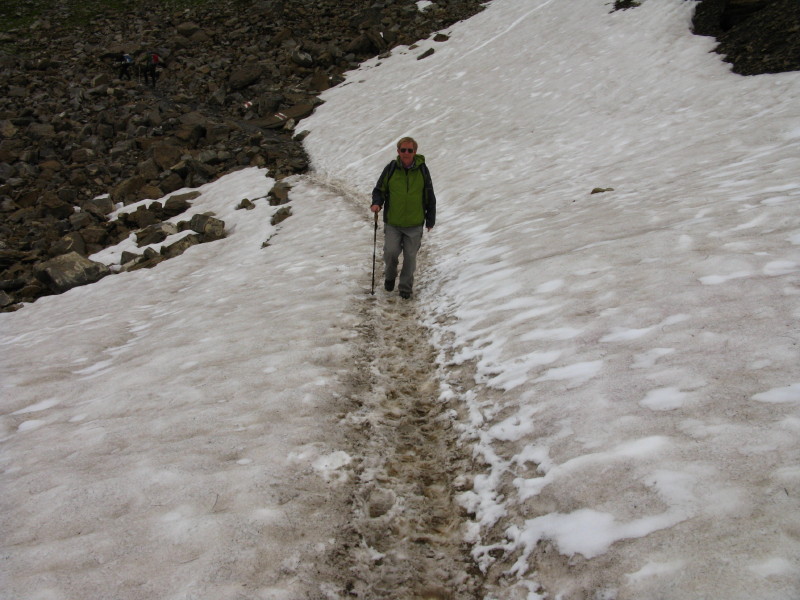
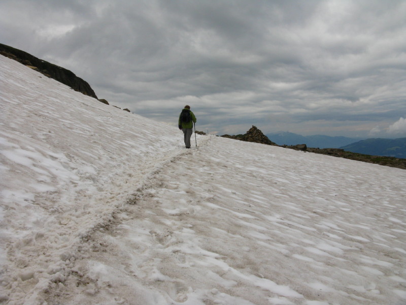
Crossing more snow
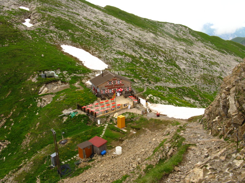
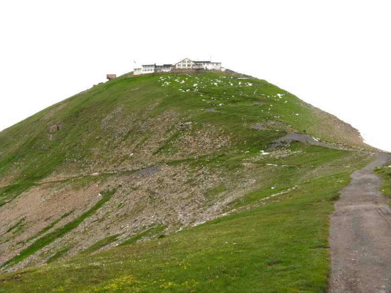
Berghaus Männdlenen - at least two hours' walk from the nearest road
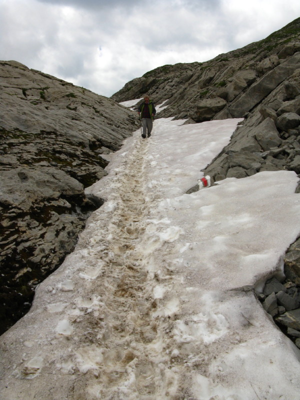
A fairly steep descent on snow
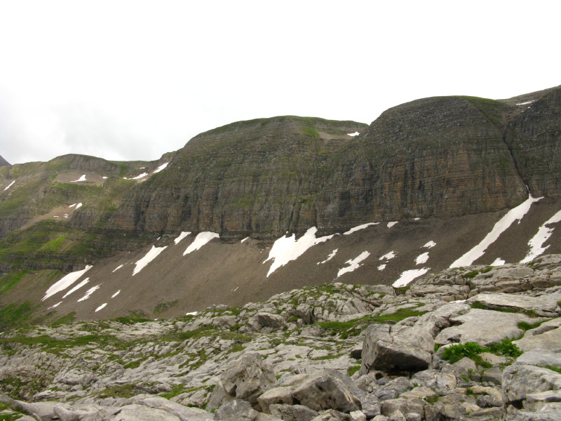
More steep cliffs with their eroded detritus below them
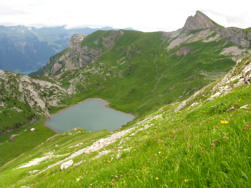
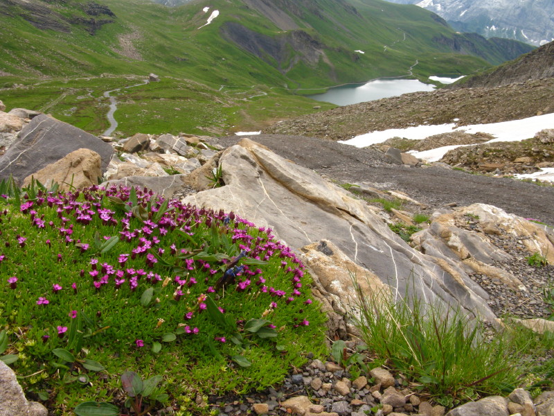
Sägistalsee, without an apparent outflow - presumably the water must
seep out through the limestone.
Me making my way along Sägistal
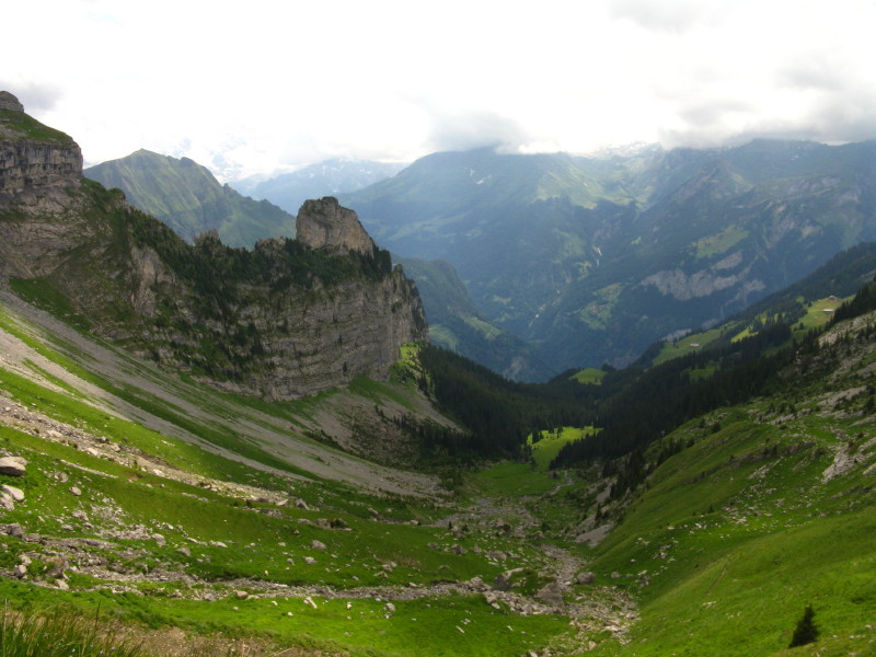
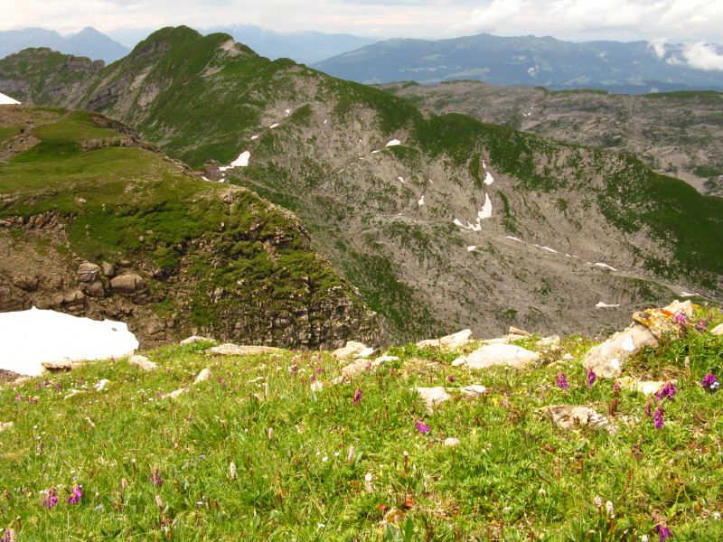
A grand view down into the valley
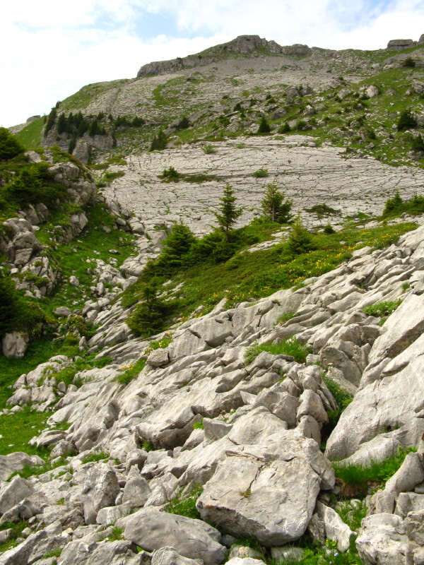
Limestone everywhere
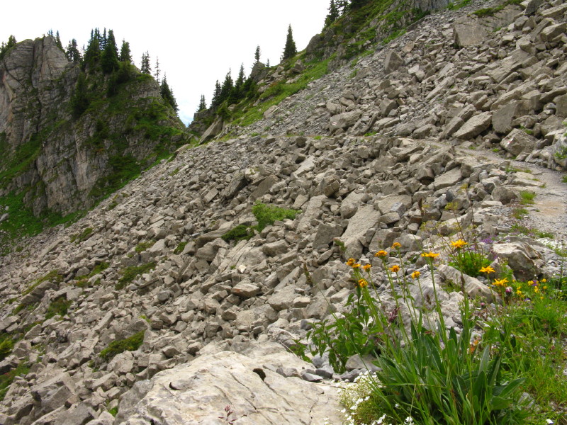
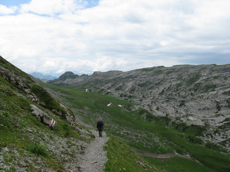
Shattered rock, but with our path still easy to follow - we're heading
for that tiny col
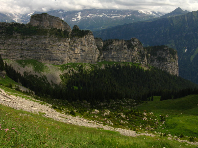
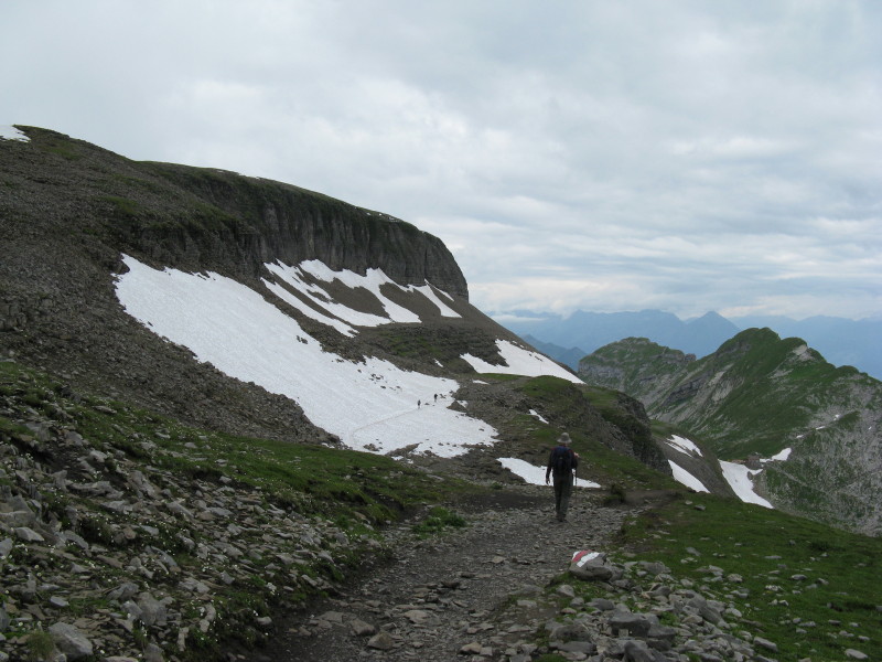
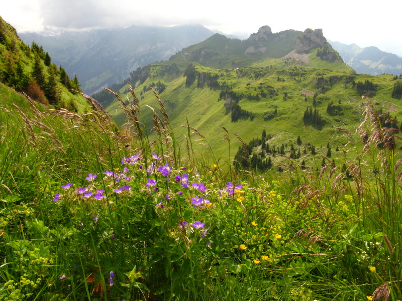
More grand views on this varied walk
Schynige Platte in view at last - but a fair walk still to get there.
The Oberberghorn that we visited yesterday is on the right.
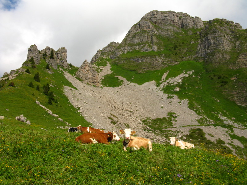
Cows grazing on the flowers
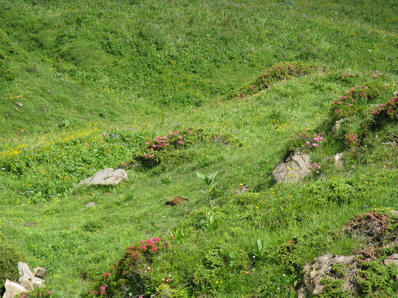
Half of an Alpine marmot as it disappears.
A grand walk: total 17.6 km and about 985 metres of ascent in about 6
hours 40 minutes.
Switzerland holiday, July 2009
|
|