Troutbeck Tongue
31 December 2010
The best weather today was predicted to be in the southern part of
the Lake District and east of Coniston, so with fog the main concern I
opted for Troutbeck Tongue which is also of fairly modest altitude -
which is always good after a tiring car journey.
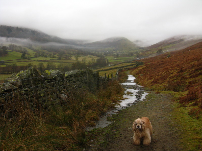
Troutbeck Tongue is just visible in the centre of the picture, mostly
out of the mist. Some patches of ice linger on the path, but they were
easily avoided.
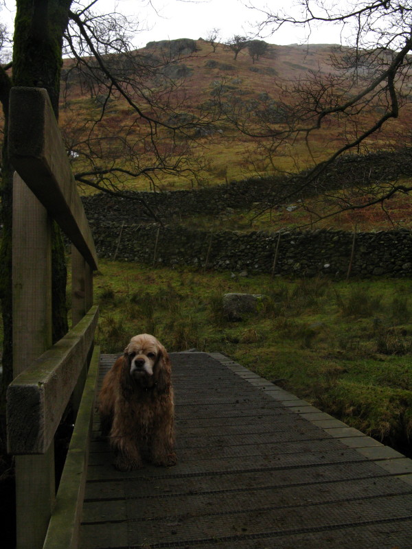
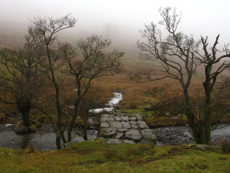
Crossing the bridge over Hagg Gill, the Tongue is ahead.
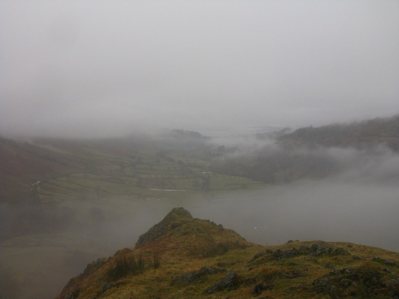
From part-way up the Tongue, a look south along the misty Troutbeck
valley
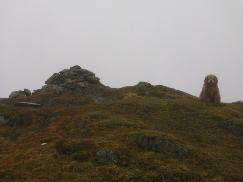
George at the summit cairn
To create a bit of variety to the return, we descended west over
pathless ground to this bridge over Trout Beck - I didn't want to cross
it, just to look at it.
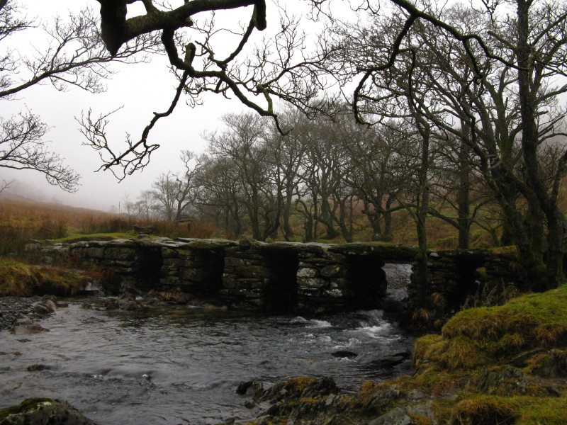
The ancient slate bridge is delightful - it would look better in
sunshine, of course.
The rather excitable dog at Troutbeck Park farm having successfully seen
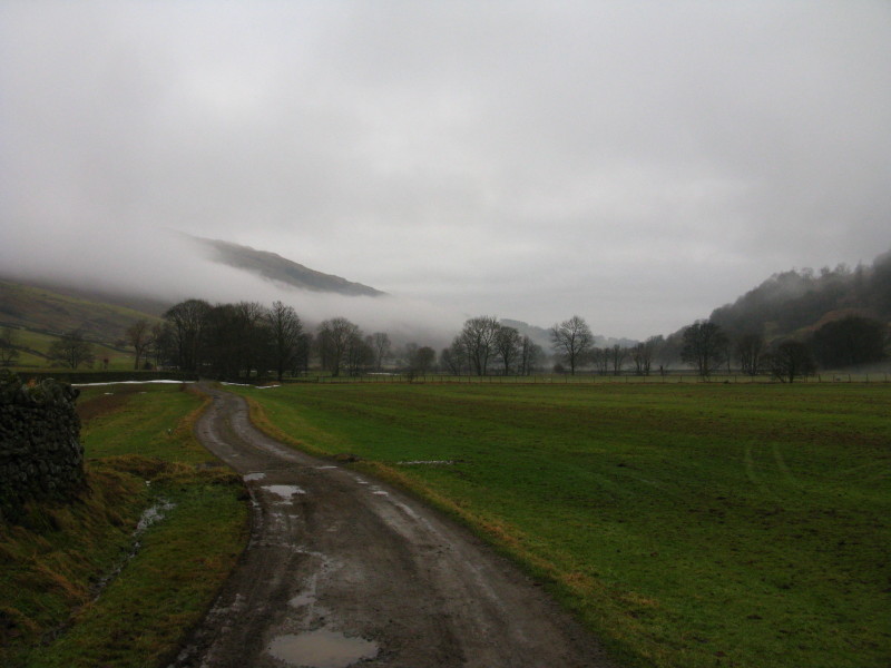
us off, we continued on Ing Lane along the valley bottom
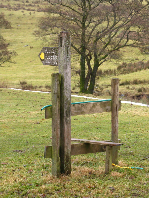
When Ing Lane turns up towards Town head, we took the old bridleway of
Truss Lane. To avoid a walk along the main road, we took the field paths
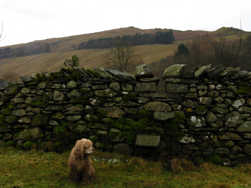
which led us directly back to the car which is parked next to the sign
on the other side of this wall. This stile and the previous one were
rather difficult for George, who was quite game for the steps but found
the gap at the top too narrow for him.
Zoom in for more detail, or click to view larger map in new window
Never as much fun in mist and damp, but a pleasant exploration and hopefully a good warm-up for better to
come.
Total distance 9.9 km and 407 metres of ascent in 3 hours 5 mins
Lake District holiday, New Year 2010/11
|
|