Ridgeway - North Stoke to Nuffield
13 October 2012
Today was originally planned for a walk on the
Thames Path while travelling back
from our canal holiday, but there was too much water in the upper Thames, so a
last minute change of plan led to this shortish walk on The Ridgeway, which
Stephen hadn't visited since May 2011. It followed an aborted plan to visit the
Thames Path in May this year, but it will still be there another time.
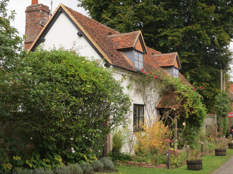
A cottage in North Stoke at the start of this morning's walk. A close look at
the wooden posts in the garden shows one has the National Trail acorn symbol to
show that we are on the route of the Ridgeway
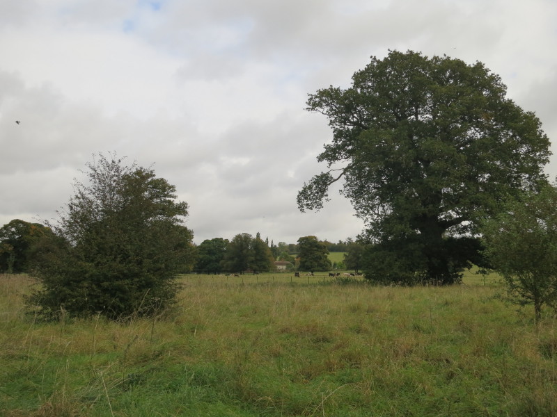
Cattle in Monegewell Park
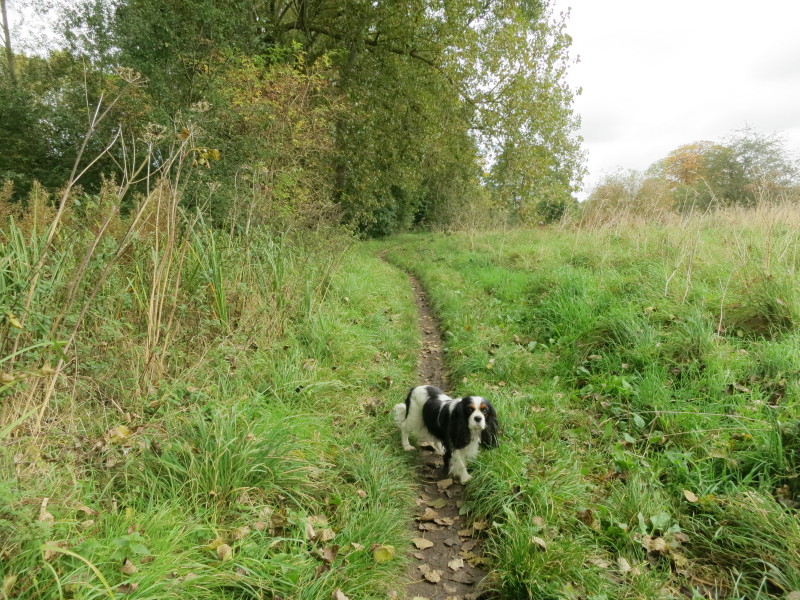
Ellie joined me for the first half of the walk
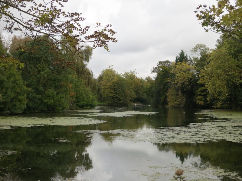
Crossing the foot of the imaginatively named The Lake at Mongewell. Soon after
this we turn east, leaving The Thames behind us, and begin the second half of
the Ridgeway after the Thames interlude
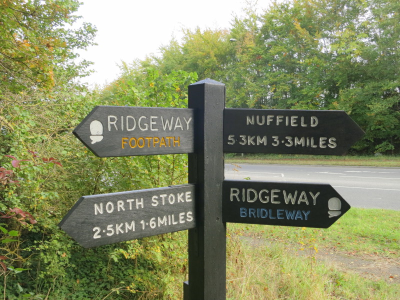
A third of the way to Nuffield. It's always noteworthy to see the rarity of a
metric or dual-measurement signpost - apparently they need planning permission
whereas the Highway Authority can erect imperial signs under the Highways Act
without planning permission.
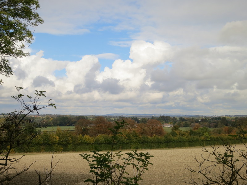
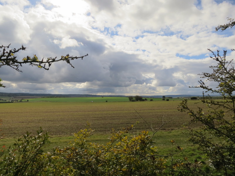
Gradually gaining height and the views slowly open up of the Thames plain
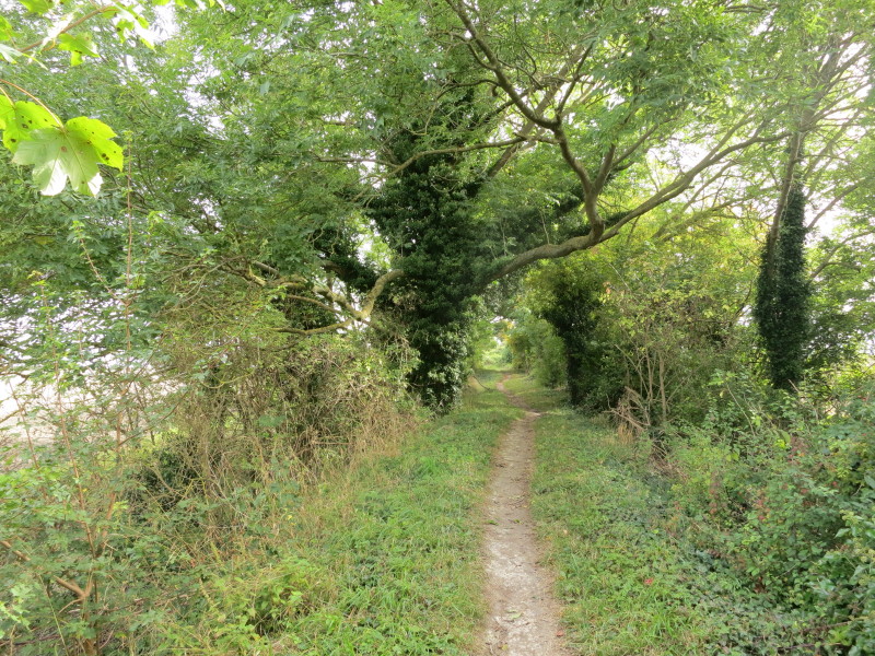
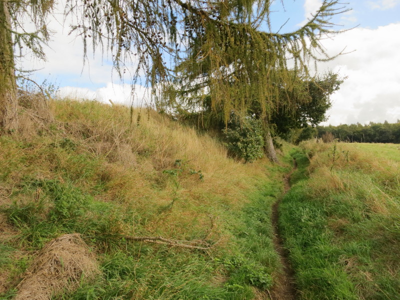
Almost all of the rest of the walk is along Grim's Ditch, one of a series of
ditch/embankments bearing that name across southern England, several of which
I've encountered before on my walks.
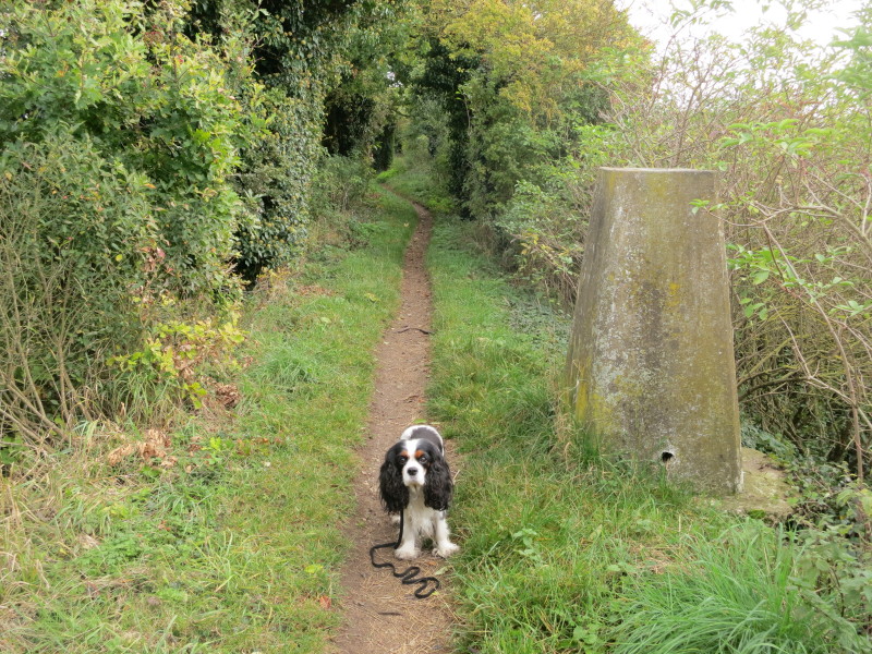
The 98-metre trig-point shows that Ellie and I have gained about 50 metres in
height from the Thames so far. Almost time to meet with Lucy at the half-way
point and for Hetty to join me.
The view to the south from Grim's Ditch. This particular Grim's Ditch has been
dated as late Iron age or early Roman: as the ditch is on the south side with
the embankment on the north side, it seems likely that it was intended to
prevent passage from south to north.
Having taken us along the top of the embankment for the first part of the walk,
the path now takes to the ditch
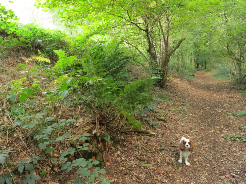
Hetty as we enter woodland, which was to prove very useful as it rained for much
of the rest of the walk and neither of us had a coat.
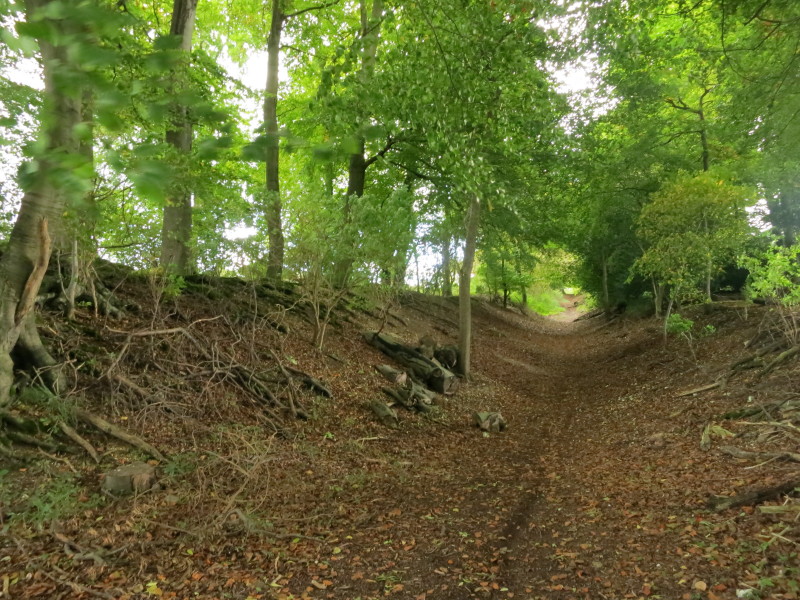
The path toyed with the ditch and with the embankment on the right and then on
the left
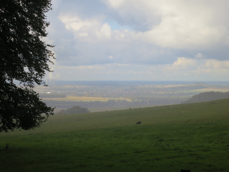
Clearing rain reveals a look from about 200 metres up, including the ubiquitous
Didcot Power Station. Here we left Grim's Ditch and a short field-edge walk
brought us to Nuffield church where Lucy and Ellie were waiting for us. Time for
lunch at the Crown at Nuffield before heading back to Suffolk.
Total distance 8.2 km and 214 metres of ascent in 2 hours 2 minutes - that means we're
about 60% of the way to Ivinghoe Beacon.
 
|