Black Country Ring (plus a bit):
Stourbridge to Birmingham
8 June 2009
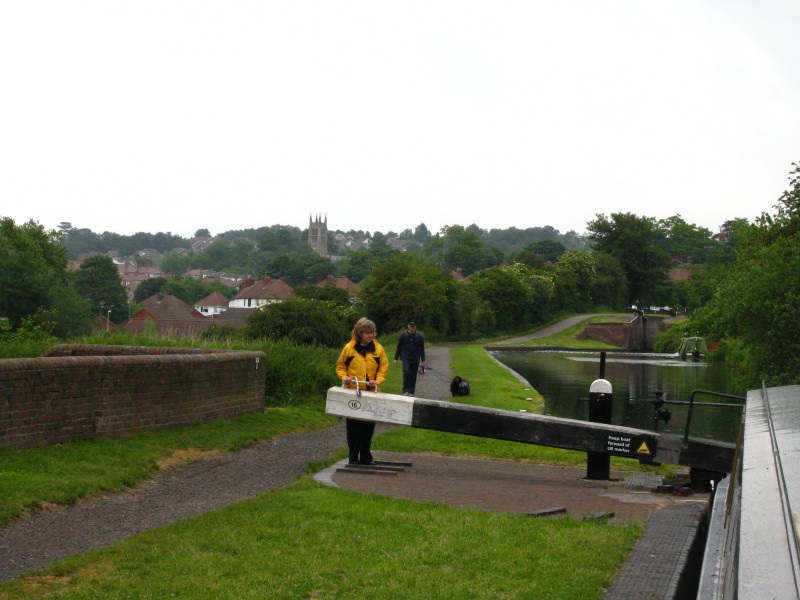
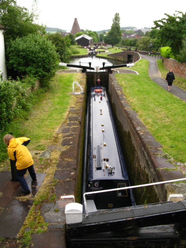
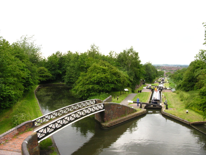
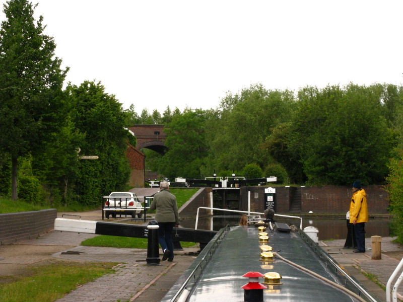
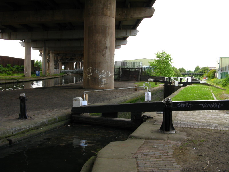
Merry works the top gate as we ascend lock 16. Together the 16 locks in
1 mile, 2¾ furlongs will raise us 145 feet.
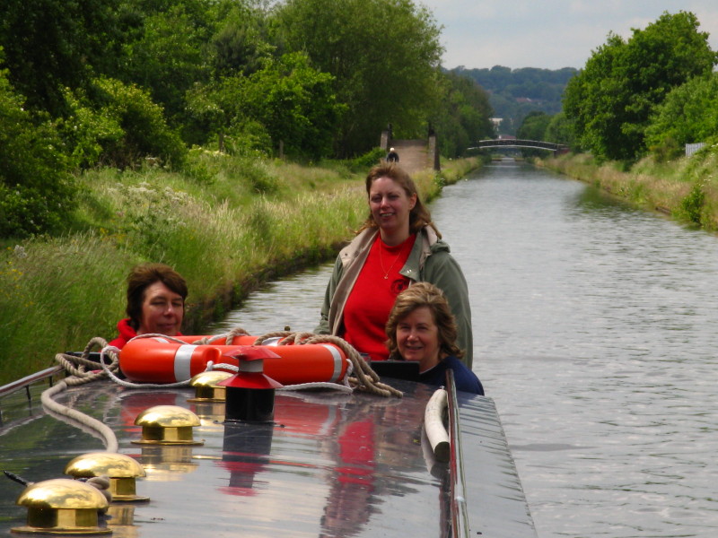
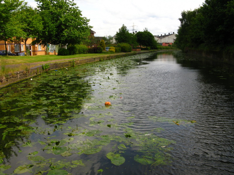
More wet-weather gear for Lucy and Helen, though fortunately it was only
light intermittent rain
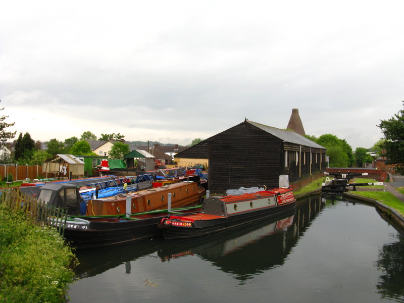
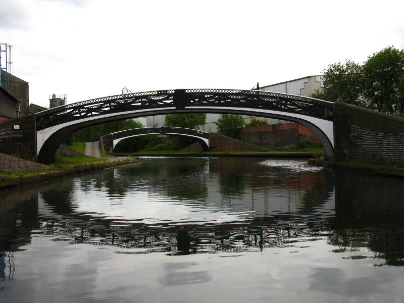
Looking back from lock 10 to Dadford's Shed, a former transhipment
warehouse, with behind it Red House Cone, a massive 18th century kiln
now part of a heritage glass-making centre.
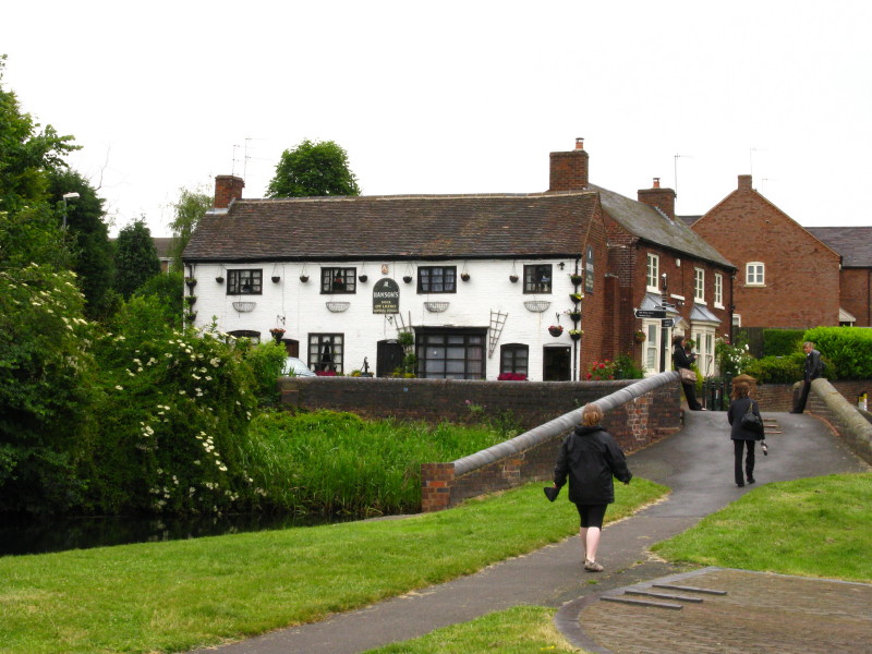
Helen heads off (to The Dock, a general store, rather than to the pub)
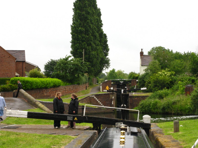
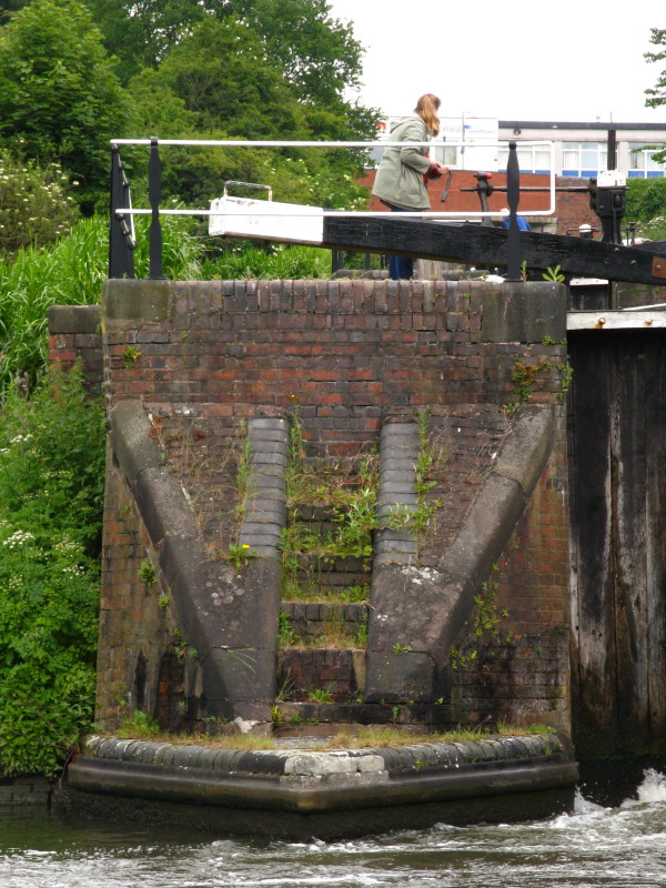
Like the locks at The Bratch, locks 10 and 9 were once a staircase but
are now two separate locks telescoped together.
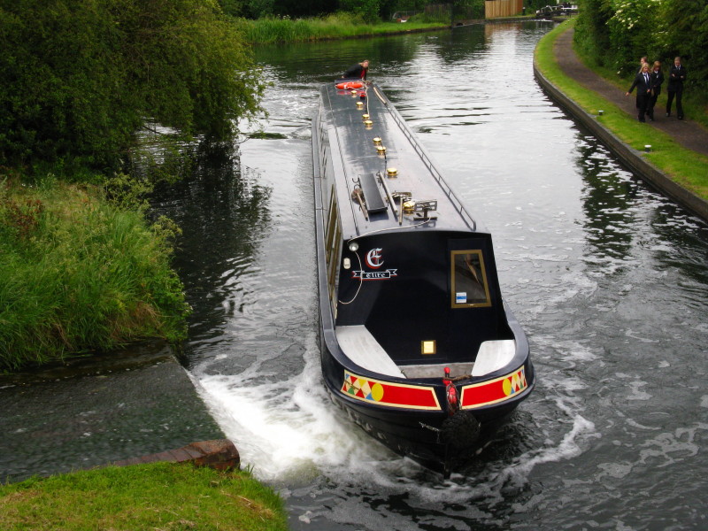
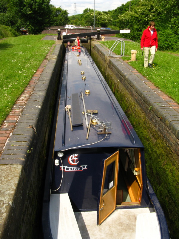
Lucy steers Victoria into a lock, judging the impact that the
bywash will have on the bow of the boat.
Later, we have passed the imperceptible end-on junction of the
Stourbridge Canal with the Dudley Canal and are now ascending the Black
Delph locks with Merry at the tiller. The original line of the Dudley
Canal was authorised in 1776 on the same day as the Stourbridge Canal,
and opened in 1779.
The flight originally had nine locks (and we later pass under Ninelocks
Bridge and have already passed the pub called The Tenth Lock), but the
middle seven suffered mining subsidence and in 1858 were replaced by the
current six (hence the naming oddity). The line of the original seven
can be seen on a slightly diverging line up the hill to the right.
At the base of each lock is a little flight of steps, each one different
in height, but almost all of them useless because they don't go
anywhere.
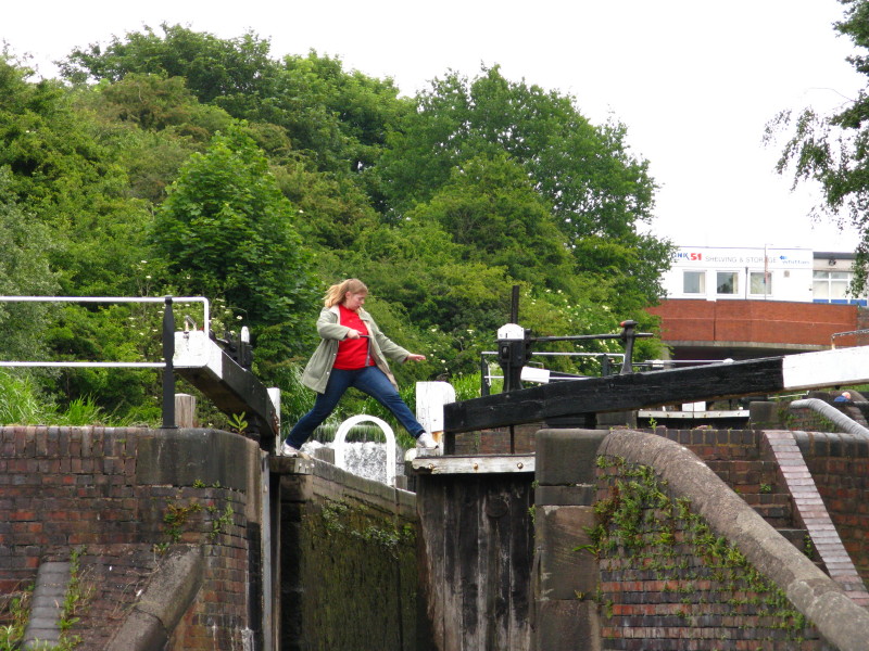
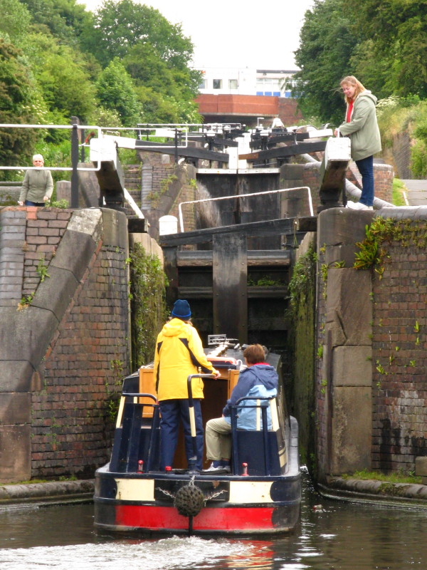
Lucy steps boldly from one gate to the other, ready to open the
right-hand gate, and thus avoiding the trek around via the top gate.
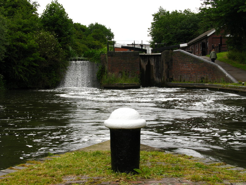
The bywash weirs can be spectacular after heavy rain, but today are
remarkably muted considering the amount of rain in the last couple of
days.
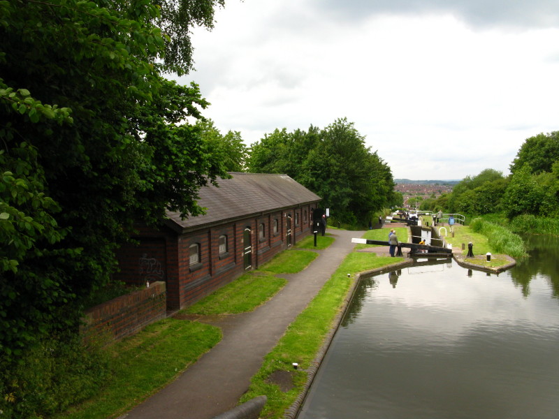
Looking down on the old stable block
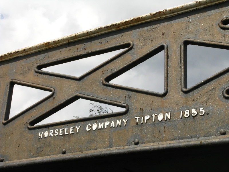
From Ninelocks Bridge, looking down on the middle six locks, with a
Horseley Iron Works bridge carrying the towpath over the original line
of the canal.
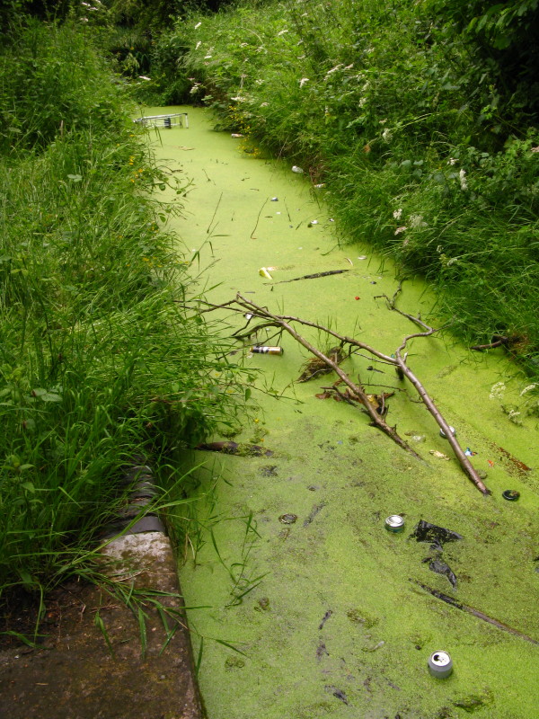
Hidden in the undergrowth are some rather unsightly remains of the
original locks - a shame that they can't be tidied up and become a
feature.
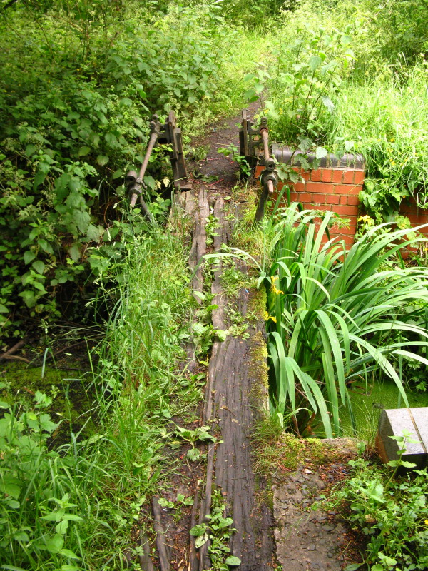
Remains of an old lock gate.
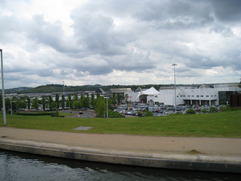
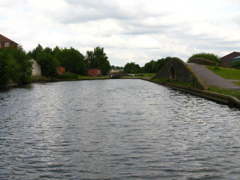
The eight Delph locks having raised us from the 356ft level to the 441ft
level, we contour around the hillside, looking down on the Merry Hill
shopping centre.
We pass through The Harbour in the midst of the Waterfront development,
occupying the site of the Round Oak steel works.
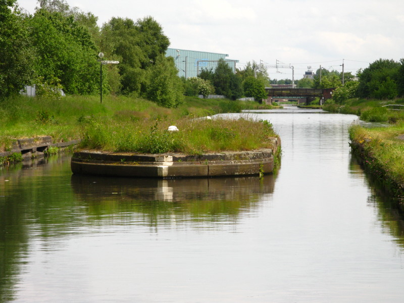
We pass the western end of the former Two Locks Line, abandoned in 1909
following mining subsidence
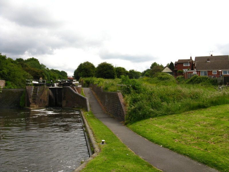
Instead of those two locks on the more recent shortcut, the route now is
the original, up the 12 feet of Blowers Green Lock onto the 453ft
Birmingham Level. Ahead are the three Park Head locks which raise the
canal onto the Wolverhampton Level, but that way is only the Dudley
Tunnel which is too small for our boat and in which engines are not
permitted. So we turn right here at Park Head Junction onto the Dudley
No. 2 Canal.
The Dudley No. 2 Canal wends its way around the southern side of
Netherton Hill (through which the Dudley Tunnel runs). The sites of old
collieries, claypits, furnaces, limekilns and ironworks now bring some
welcome greenery to the urban scene.
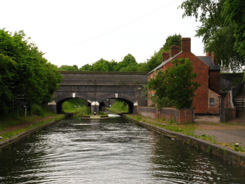
At Blackbrook Junction we pass the eastern end of the Two Locks Line
High Bridge towers over the steep-sided cutting that was once a short
tunnel
Approaching Windmill End Junction, where the Dudley No. 2 Canal heads
off to the right, while we continue along the Netherton Tunnel Branch.
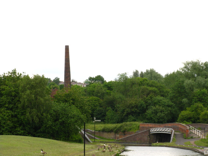
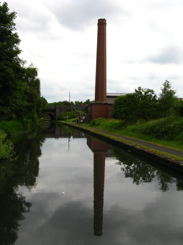
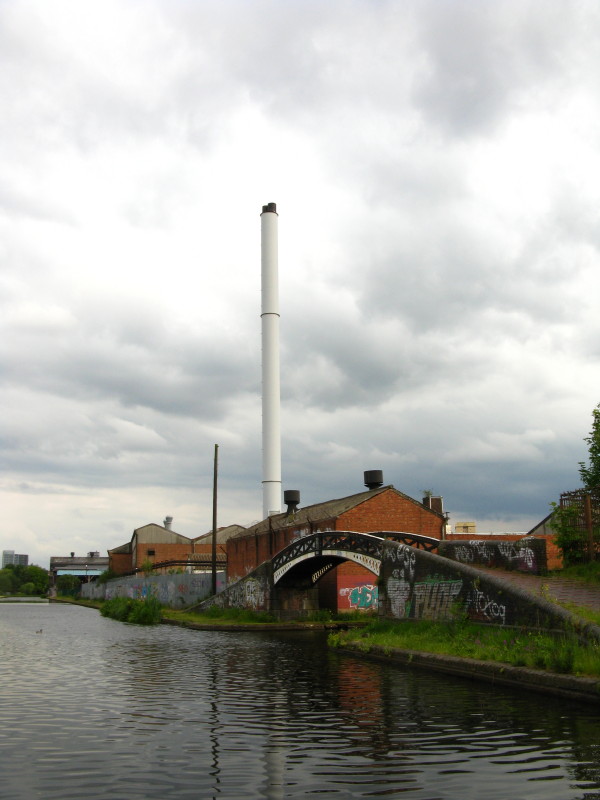
The chimney is part of Cobb's Engine House, where a steam engine pumped
water from coal mines into the canal.
Also at Windmill End Junction, the Boshboil Arm disappears off to the
left under this towpath bridge: it once joined up with the Bumble Hole
Arm to form a loop, but the intervening stretch is now a nature reserve.
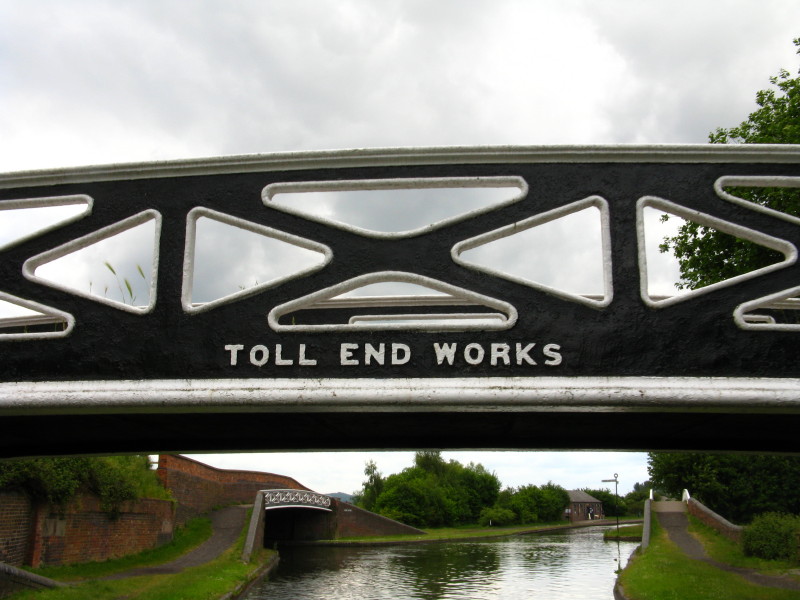
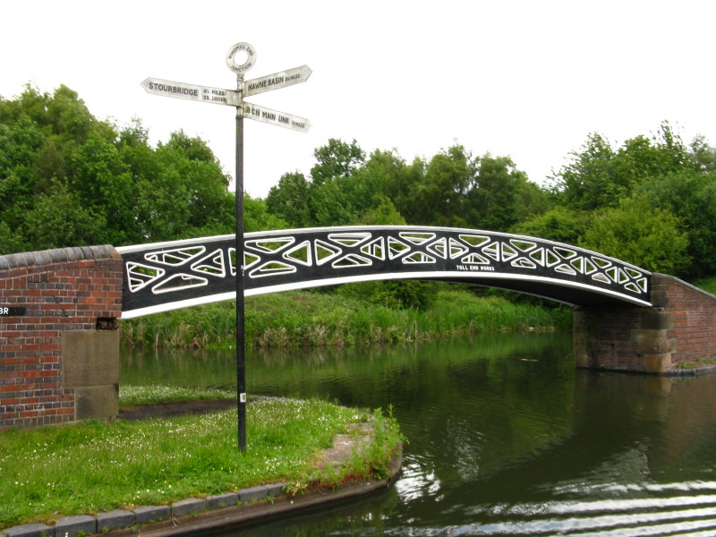
Looking back at Windmill End Junction past the Toll End Works iron
towpath bridge.
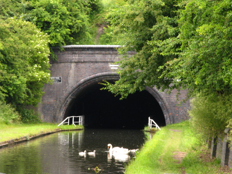
The southern portal of Netherton Tunnel. Its 3027 yards were opened in
1858 to provide an alternative to the congested Dudley Tunnel. By
contrast to the narrow and low Dudley Tunnel, this, the last canal
tunnel built in Britain is broad and high, with twin towpaths, and seven
ventilation shafts that drip or pour water onto the poor steerer.
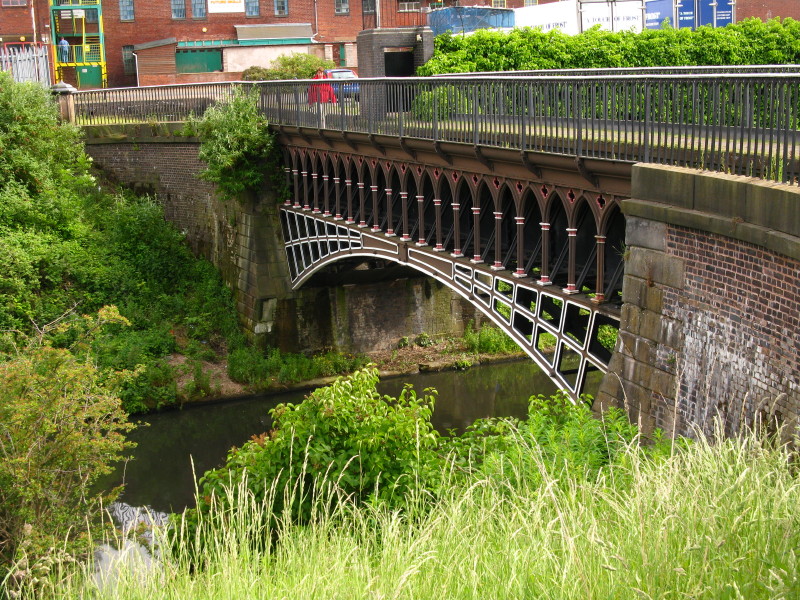
After emerging from Netherton Tunnel, the branch passes under the
Birmingham Canal Old Main Line at Tividale Aqueduct: Lucy steers
Victoria under the aqueduct.
Looking back at Tividale Aqueduct, with the northern mouth of Netherton
Tunnel just visible beyond.
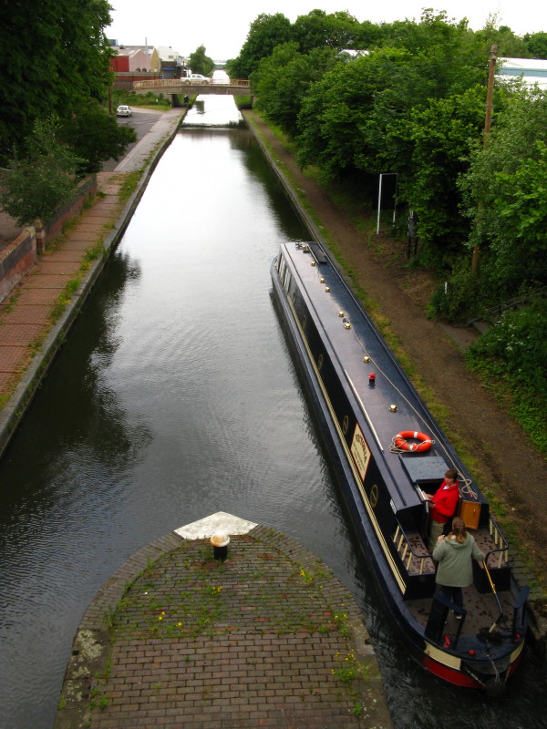
Mary, Lucy and Merry at the stern as we make our way along the New Main
Line, at last joining the Black Country Ring proper. The original 1772
route of the Birmingham Canal that we've recently passed under was
hugely twisting, and while suitable when constructed, the massive growth
of industry that it helped to fertilise meant that it became inadequate,
and in 1824 Thomas Telford was commissioned to examine alternatives. By
1827 his proposals had been implemented, producing a much straighter
course with twin towpaths, and allowing us alternative routes.
Approaching a toll island where boats' depth was measured and thus the
toll calculated: just beyond is Albion Junction where we forsake the New
Main Line and turn onto the Gower Branch.
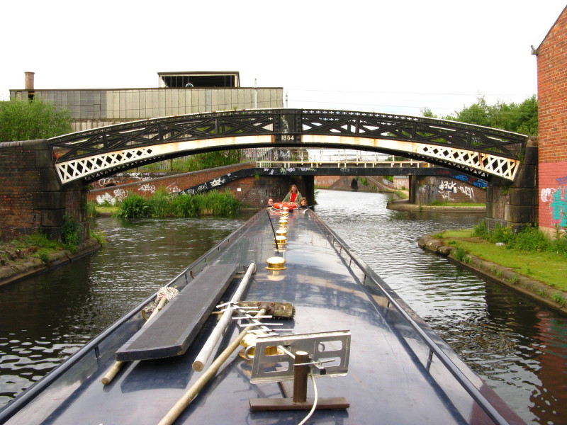
We pass under a towpath bridge from Horseley Iron Works.
The three locks of the Gower Branch (authorised by the
Birmingham Canal Act of 1768 but not completed until 1836) raise us from
the New Main Line to the Old Main Line at Brades Hall Junction.
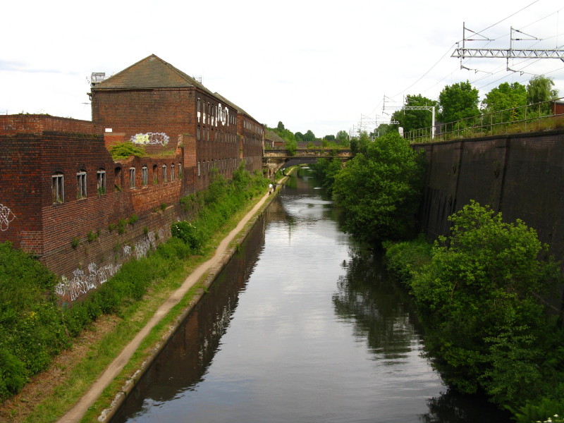
The lesser-used Old Main Line has a fair bit of vegetation, and quite a
lot of plastic rubbish which necessitated several stops to use the weed
hatch to access the propeller and remove rubbish from around the
propeller which had either reduced or entirely stopped our progress.
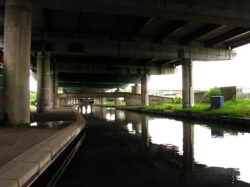
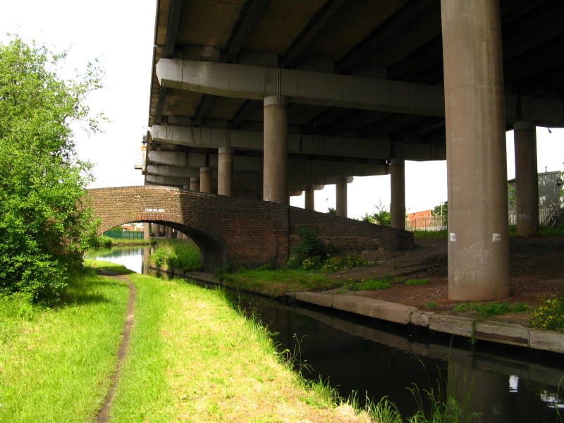
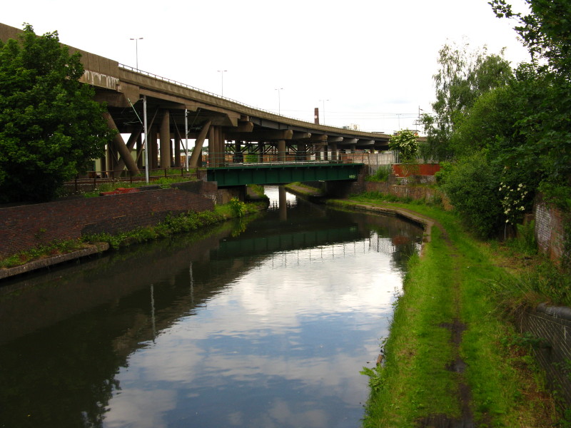
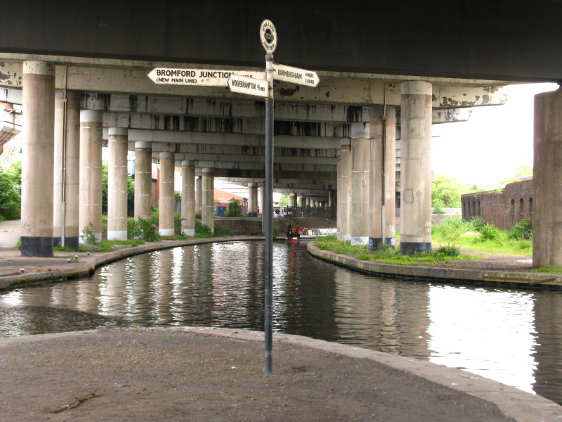
The Old Main Line travels for a way under the M5 motorway
From underneath the M5, Oldbury Junction provides access to the locks of
the Titford Canal.
Our way lies straight on, however. Blakeley Hall Bridge sits almost
underneath the motorway and has been preserved despite serving no
purpose, going from nowhere to nowhere.
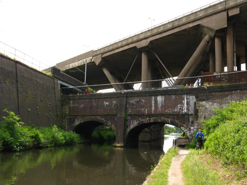
Having passed underneath the M5 again, we head back towards the
motorway, first passing underneath the Birmingham to Wolverhampton
railway and then just visible under the railway bridge is the Steward
Aqueduct which carries this Old Main Line over the New Main Line.
From the Steward Aqueduct looking down on the New Main Line, with the
railway towering above on the right and the remains of Chance's
glassworks on the left.
From the New Main Line, looking up at our boat crossing the Steward
Aqueduct, with the railway going over the higher canal and then under
the yet higher motorway
Under the M5 again, and Victoria continues on past Spon Lane
Junction
Looking down the three Spon Lane locks on part of the Wednesbury Old
Canal which now provide another link between the Old and New Main Lines
The pumping house at Brasshouse Lane, which dates from 1892, and was
used to pump water from the New Main Line to the Old.
As we approach the three Smethwick Locks, the Engine Arm disappears
under the bridge to the right
It immediately crosses the New Main Line on this impressive bridge with
gothic arches. The Engine Arm gets its name from the pumping engine that
lifted water from the lower level to the upper until replaced by the
Brasshouse Lane engine we saw a little earlier, but the Arm itself was
built to carry water from Rotton Park Reservoir.
After descending the three Smethwick Locks, twin towpath bridges signal
our arrival at Smethwick Junction, where the Old and New Main Lines
combine their waters. From here eastwards the New Main Line was built
straight across the loops of the Old line, some of which are now
derelict, and some which remain in water and available for alternative
routes.
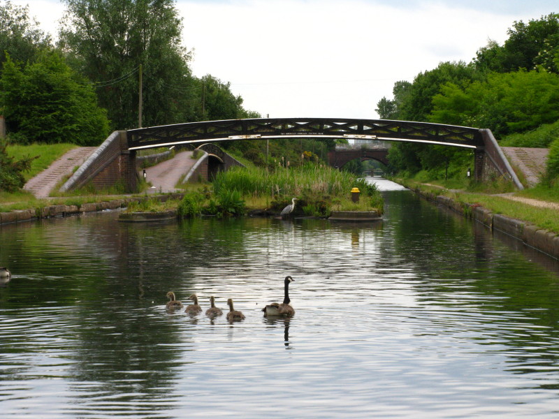
A Canada Goose and goslings swim towards a toll island where a heron
rests. Beyond is Winson Green Junction where the Soho Loop heads off
under the bridge
Looking down the Soho Loop.
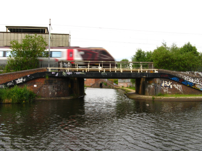
A bit further along the New Main Line, the Soho Loop re-emerges
underneath a Cross Country train.
The Old Main Line crossed the New Main Line there, and the Soho Loop
becomes the Icknield Port Loop.
Lucy at the tiller, taking us on a diversion down the Icknield Port
Loop. This loop has no towpath so can only be explored by boat.
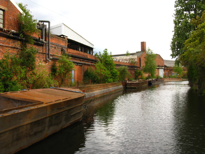
Old barges by old industry
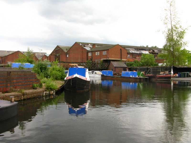
At the end of the loop is a British Waterways workshop
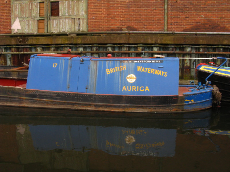
Also here are several historic boats from the BW collection
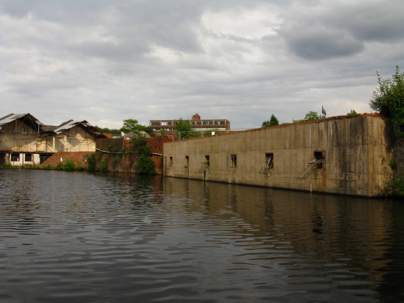
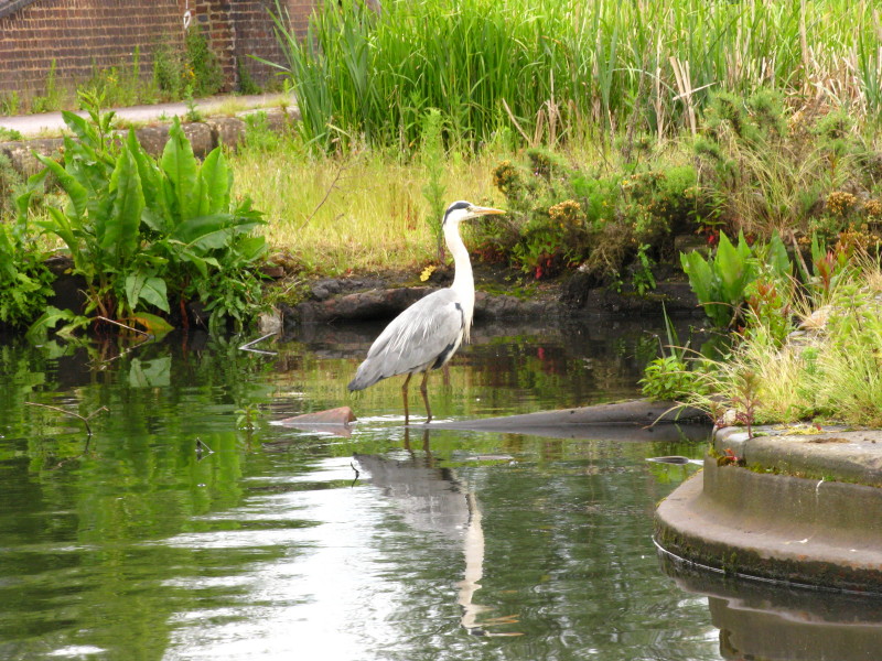
Decaying and demolished industry - and another heron
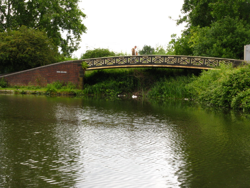
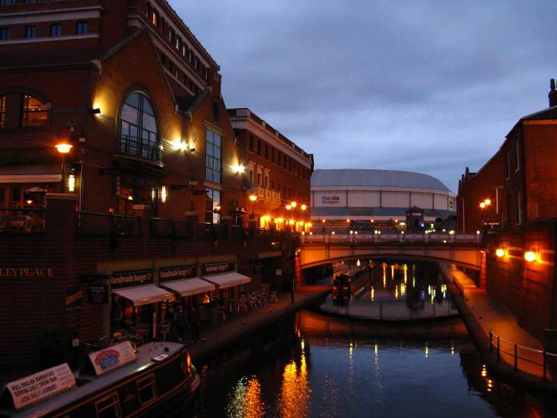
Back on the New Main Line, and here modern housing has replaced
industry. We are approaching the National Sealife Centre
Old Turn Junction is where the Birmingham and Fazeley Canal turns left
off the Birmingham Canal, and may be regarded as the hub of the
country's waterways network. The circular island was installed during
World War II, to allow the use of temporary dams to protect the railway
tunnel beneath it, should the canal be breached by bombing.
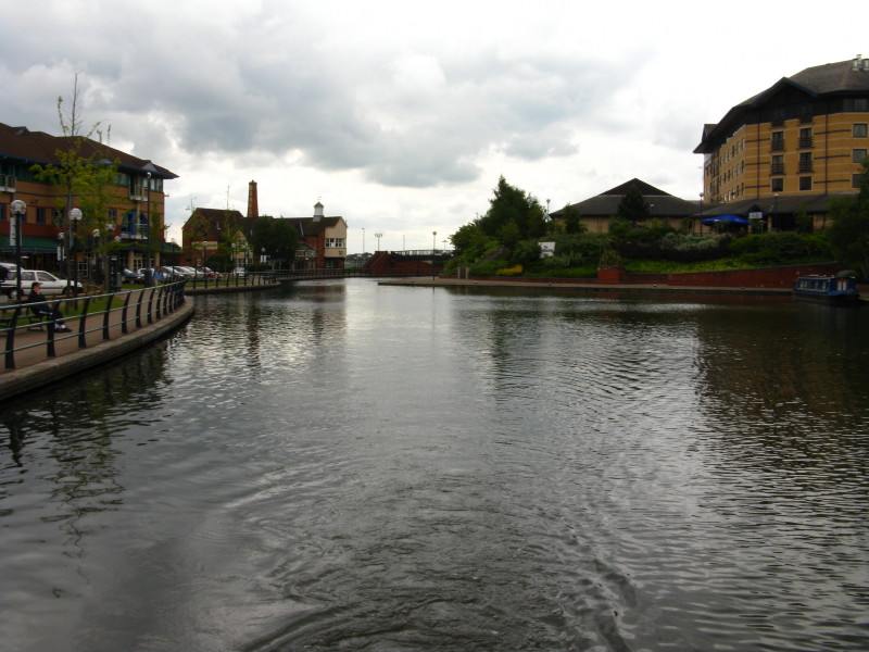
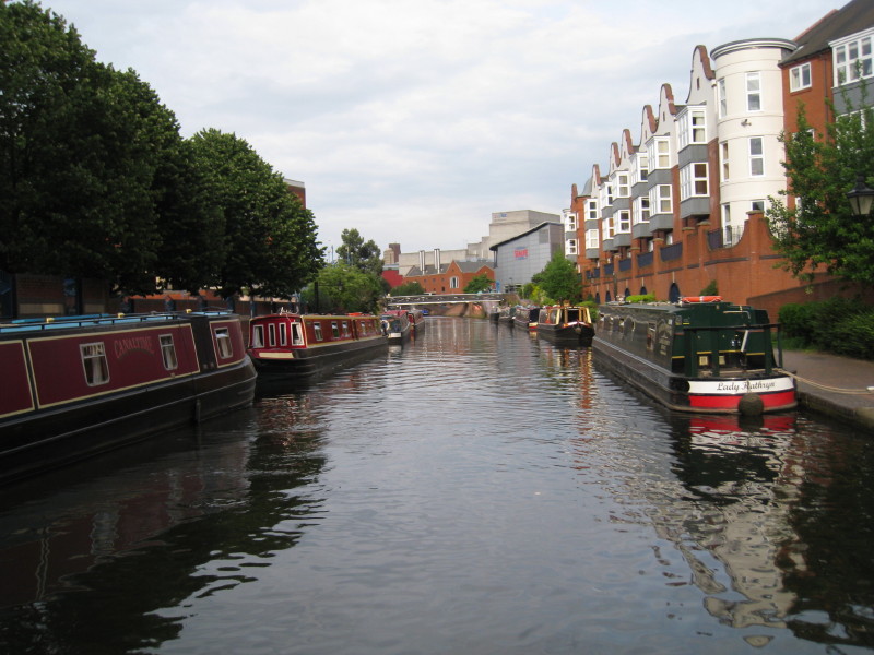
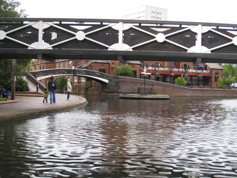
Victoria moored in the heart of the modern Birmingham waterways,
with modern leisure and conference facilities having replaced the heavy
industry that the canal was built for, bringing new life and people to
the waterways network.
Total for today: 20 miles 3½ furlongs including 31 locks
|