Yorkshire Canals 2001 (Page 2)
Monday 8 October - Calder & Hebble Navigation
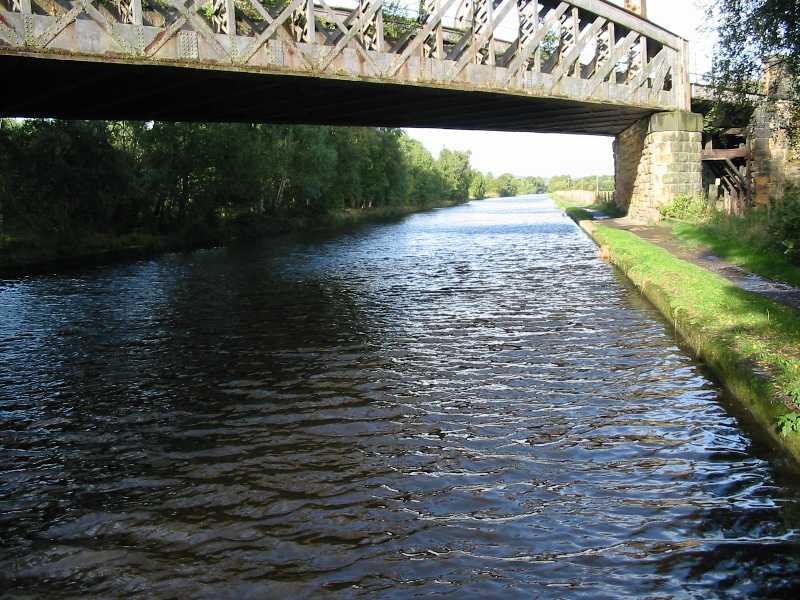
Leaving our mooring spot by the disused railway bridge, on a bright and sunny Monday
morning.
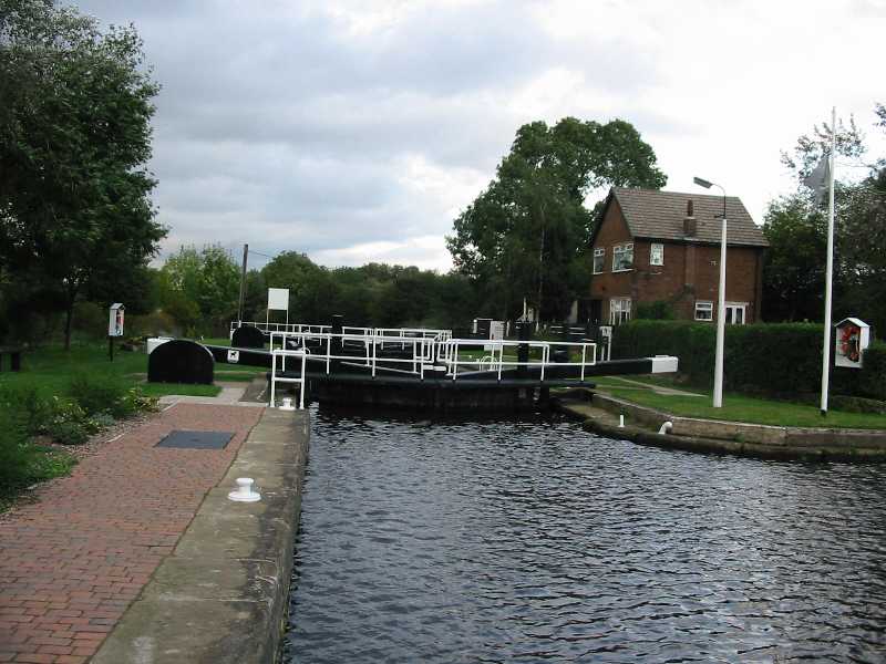
After about ten minutes, we reached Broad Cut Low Lock, the lock down onto the Calder.
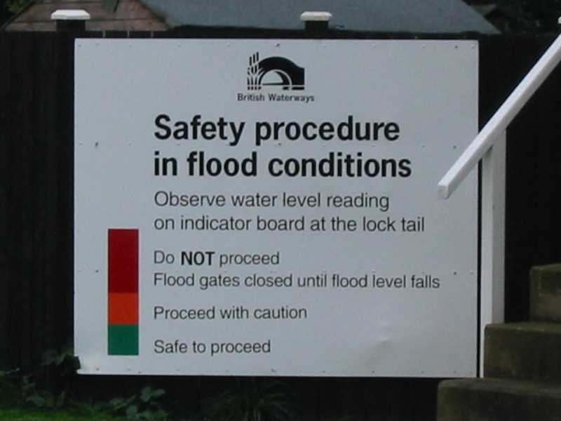
The flood instructions were fairly clear, but the difficulty was that the water levels
were so high that the indicator board was completely submerged.
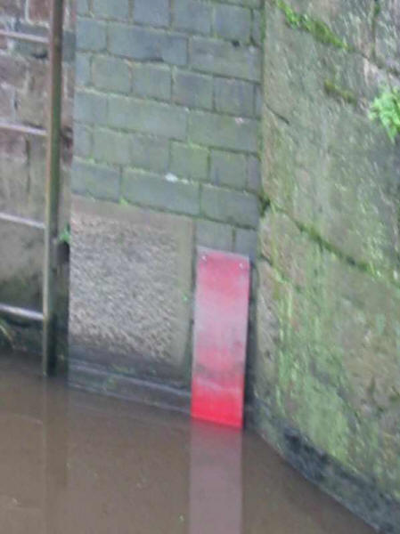
Every hour or so we got out of the boat and checked the water level. By five o'clock the
flood indicator board had emerged, but was solidly in the red, and we abandoned any hope
of moving any further today. However, the water levels were now falling fairly steadily,
and so we hoped to be able to move on Tuesday.
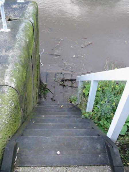
The landing stage below the lock emerged from the river during late afternoon - earlier on
only seven of these eleven steps had been visible.
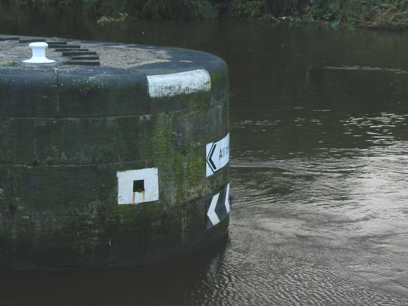
Earlier in the day the river had covered the chevron arrows and was approaching the
"All craft" sign, so has fallen more than two feet, but still has some way to
go.
Ominous signs - we do not want more rain at this stage!
|