Lake District August 2002 - Page 2
15 August 2002 - Great Knott and Cold Pike
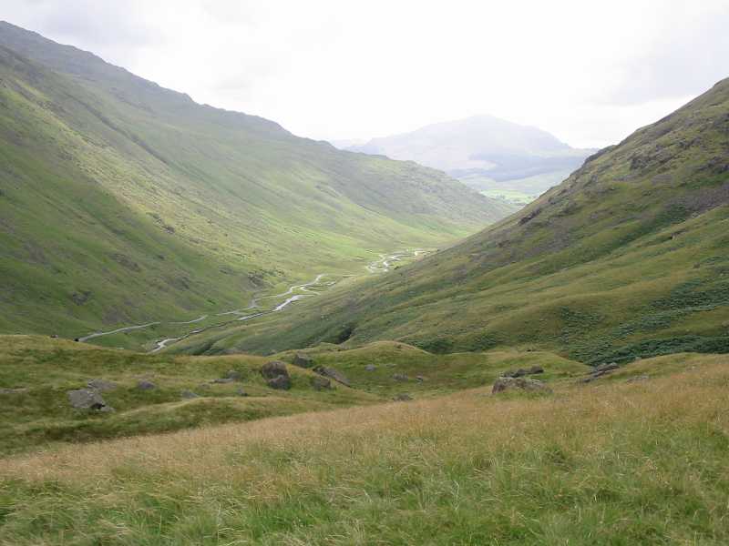
As I climb for an exploration of some of the subsidiary tops between Red
Tarn and Crinkle Crags, a view into Wrynose Bottom, with Harter Fell behind
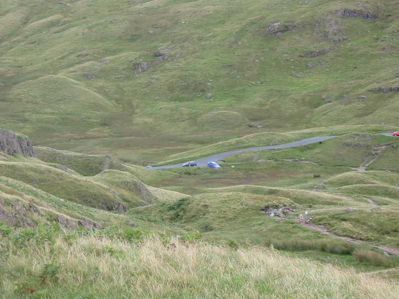
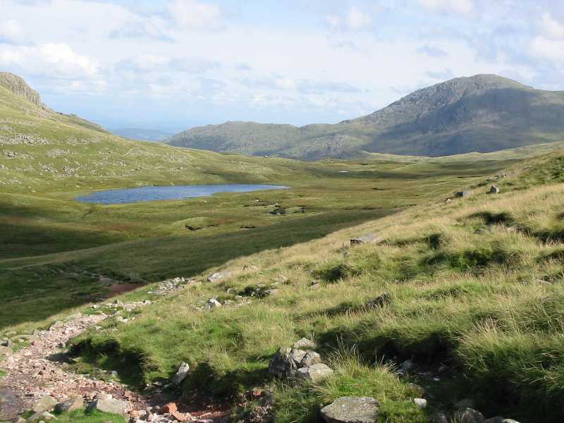
Looking down to the Three Shire Stone at the top of Wrynose Pass
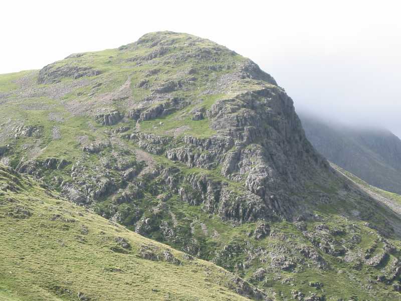
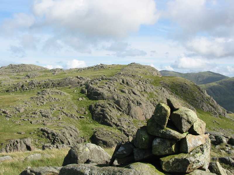
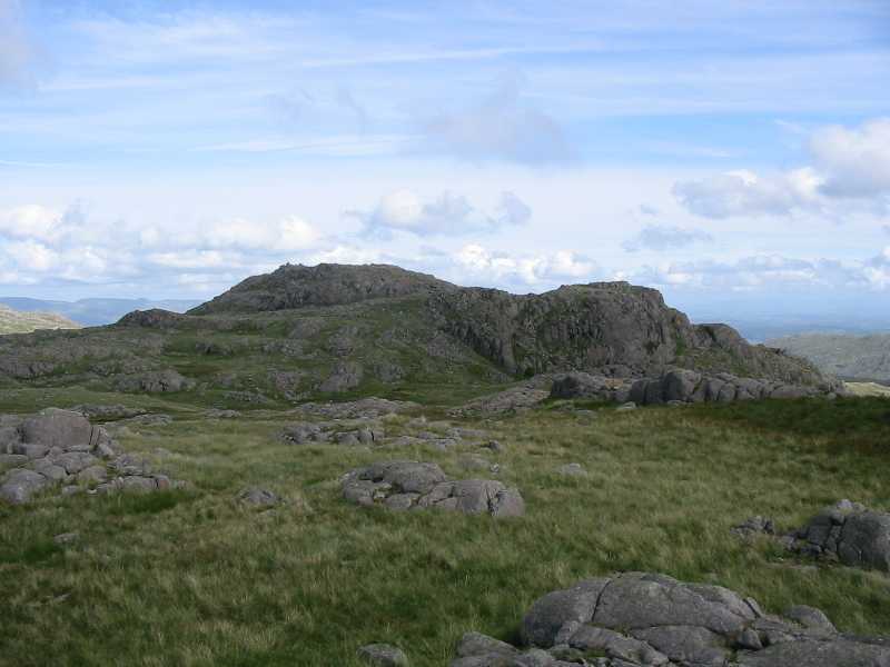
Great Knott, my first objective of the day

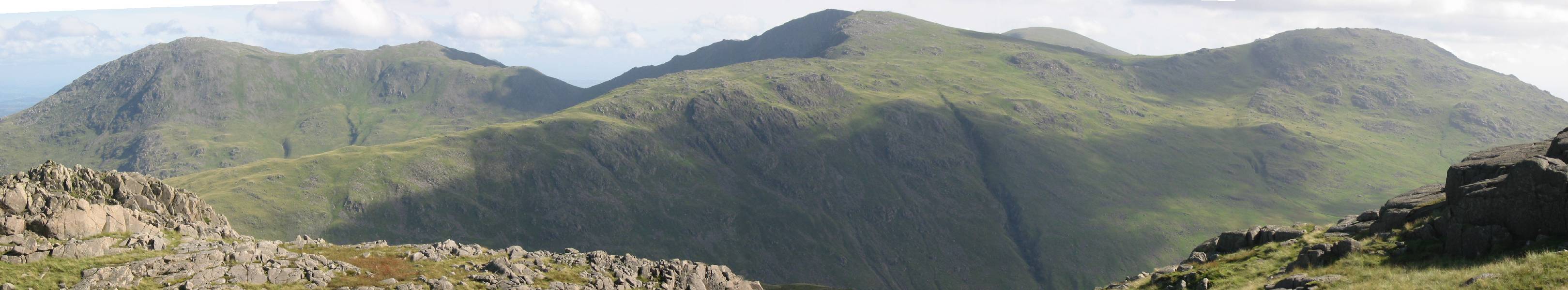
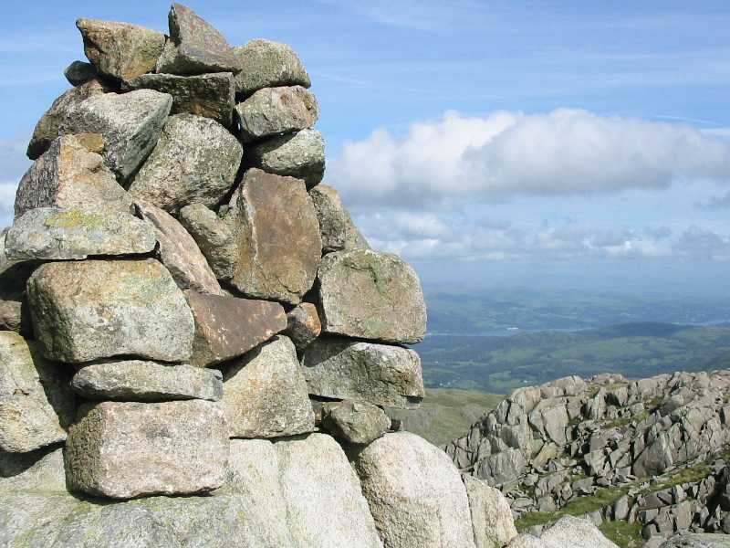
A 360° panorama from the summit of Great Knott (696m, 2283ft) - click the picture for a larger version
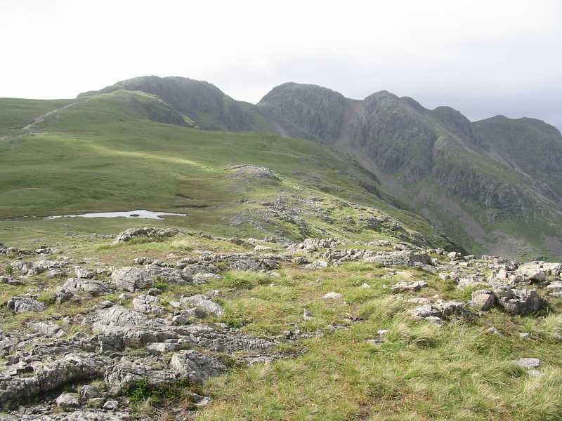
Crinkle Crags from Great Knott
Great Langdale from Great Knott
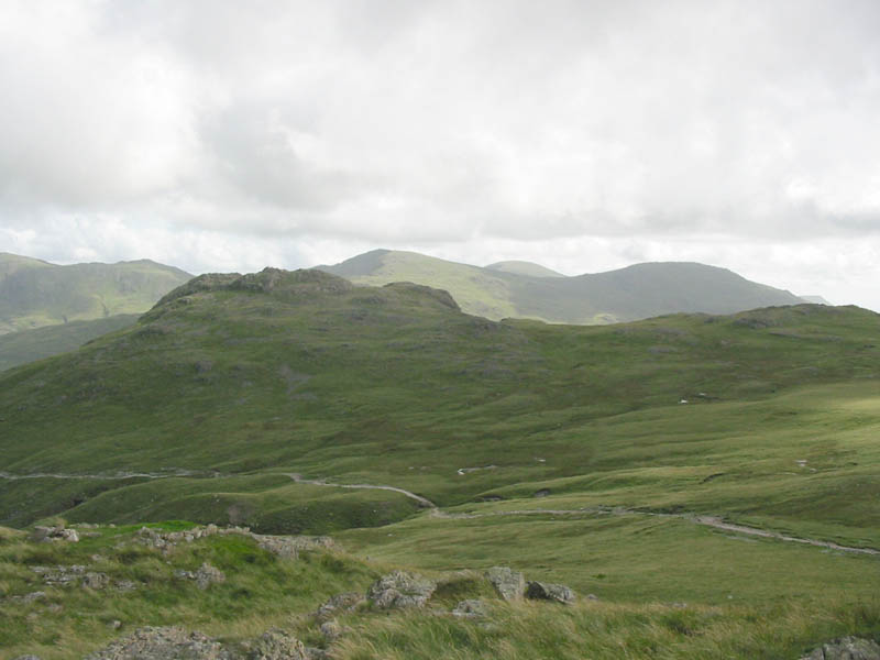
Cold Pike from Great Knott, with behind, to its right, Swirl How, Coniston
Old Man and Grey Friar
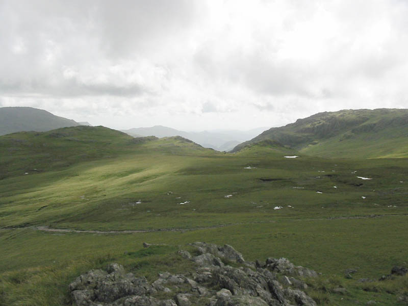
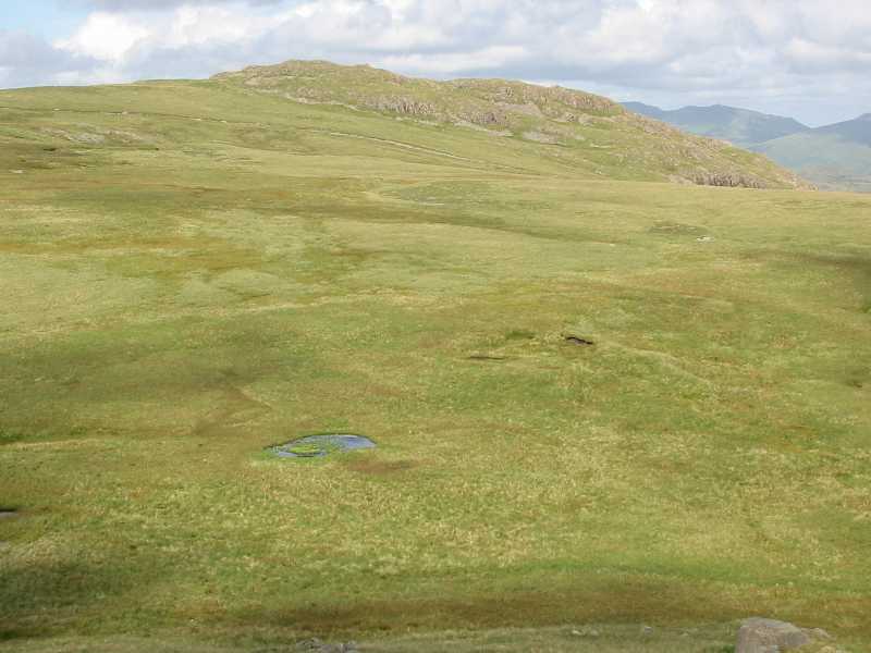
My route across the plateau to Cold Pike Far West Top, to the right of the
dip in centre picture, just visible in front of the higher Little Stand on the right
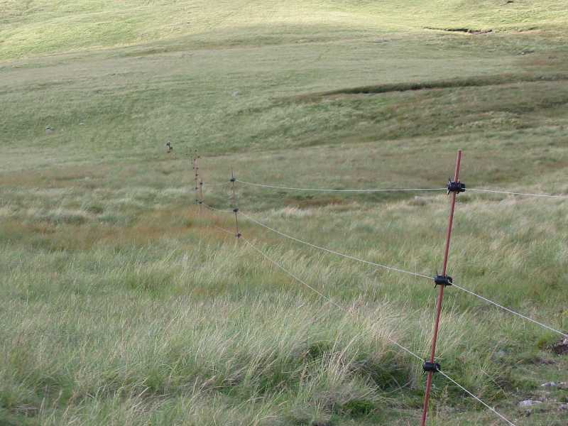
Half way across I was brought up short by this electric fence which is
invisible from any distance. I'd crossed a couple earlier in the walk while on
paths, and it had been explained that they are a temporary (5-year) measure to
re-heft the sheep, and to cross only at stiles. However, not knowing where the
fences or stiles are makes this a little difficult.
Having managed to cross the electric fence, I reached Cold Pike Far West Top
(670m, 2198ft). A view towards the West Top
Looking back across the electric-fenced plateau to Great Knott
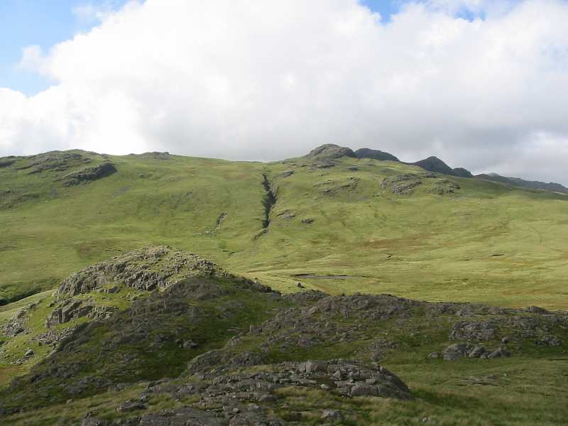
From West Top over Far West Top, with Crinkle Crags on the horizon on the
right
Cold Pike from its West Top (683m, 2241ft)
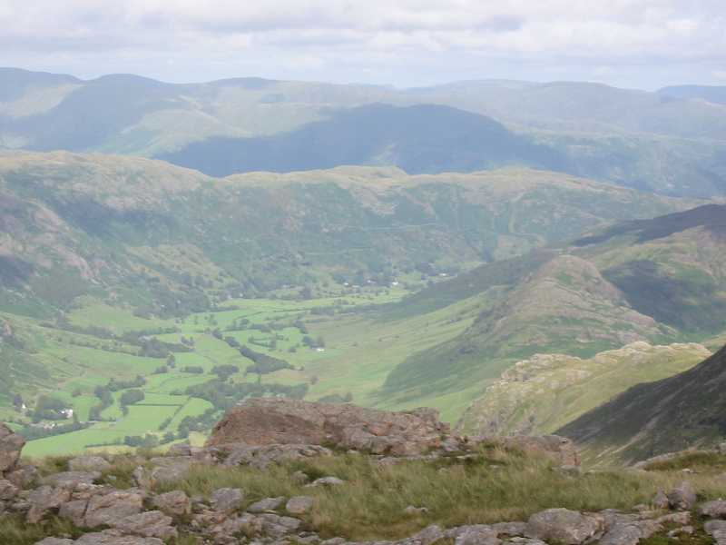
On the summit of Cold Pike (701m, 2300ft), with Windermere in sight
Looking north to the Langdale Pikes, looking less impressive than normal
with the bulk of High Raise behind showing that they are really all front and no
behind!

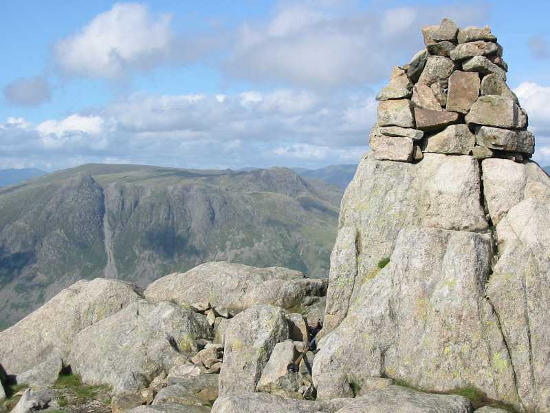
A panorama to the south from Cold Pike, with Wetherlam, Black Sails, Swirl
How and Great Carrs, The Old Man of Coniston and Brim Fell peeking into view, and Grey Friar -
click picture for a larger version.
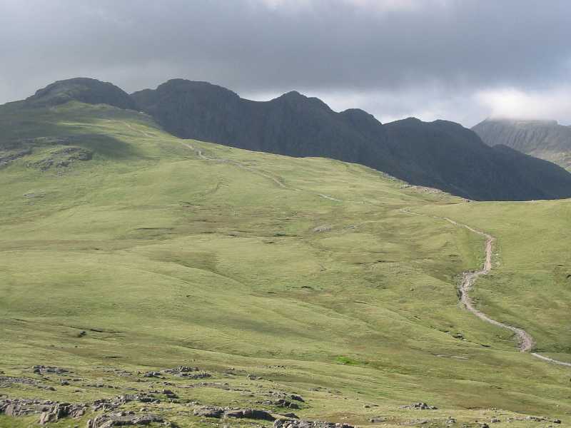
Crinkle Crags silhouetted from Cold Pike
On the descent, approaching Red Tarn, with Wetherlam behind
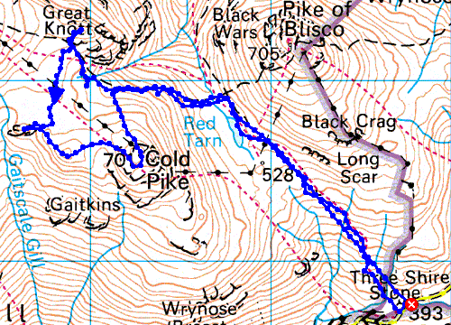
Distance 7.34km, total height gain 435m, time 3 hours 20 mins
Lake District holiday August 2002
|
|