Lake District: High Raise and the Langdale Pikes
25 March 2005
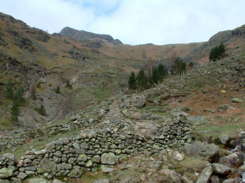
Climbing alongside Stickle Ghyll towards Stickle Tarn, with Pavey Ark poking its
head out
A quiet day on the fells! Well, it was Good Friday

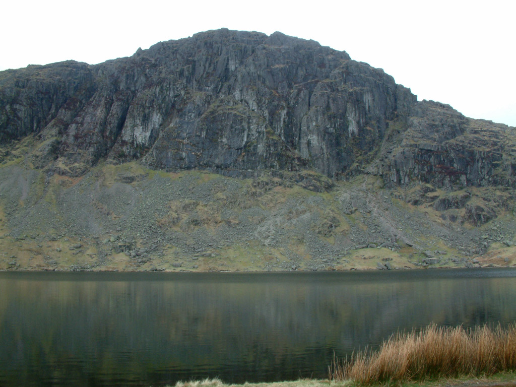
Pavey Ark towering moodily above Stickle Tarn
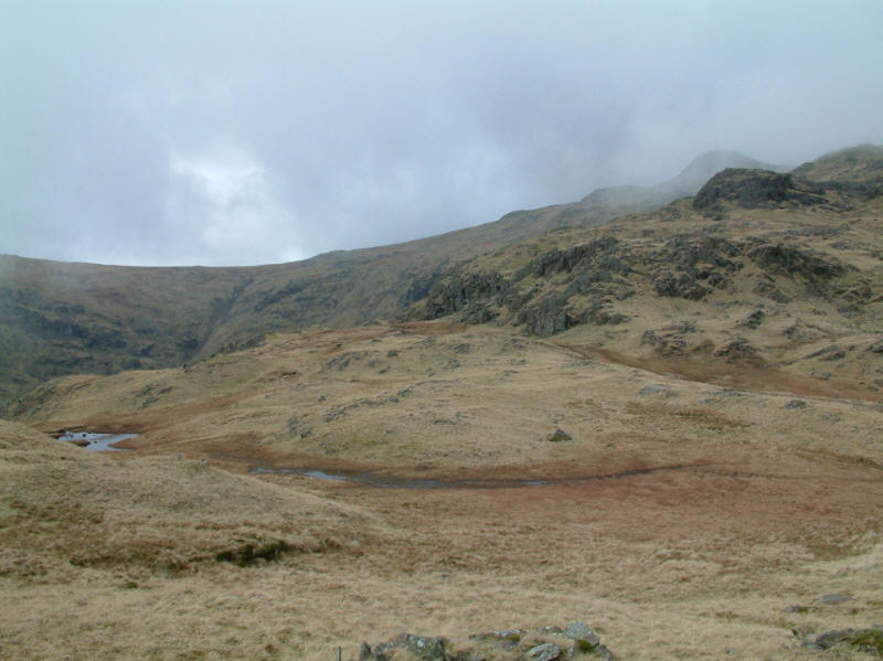
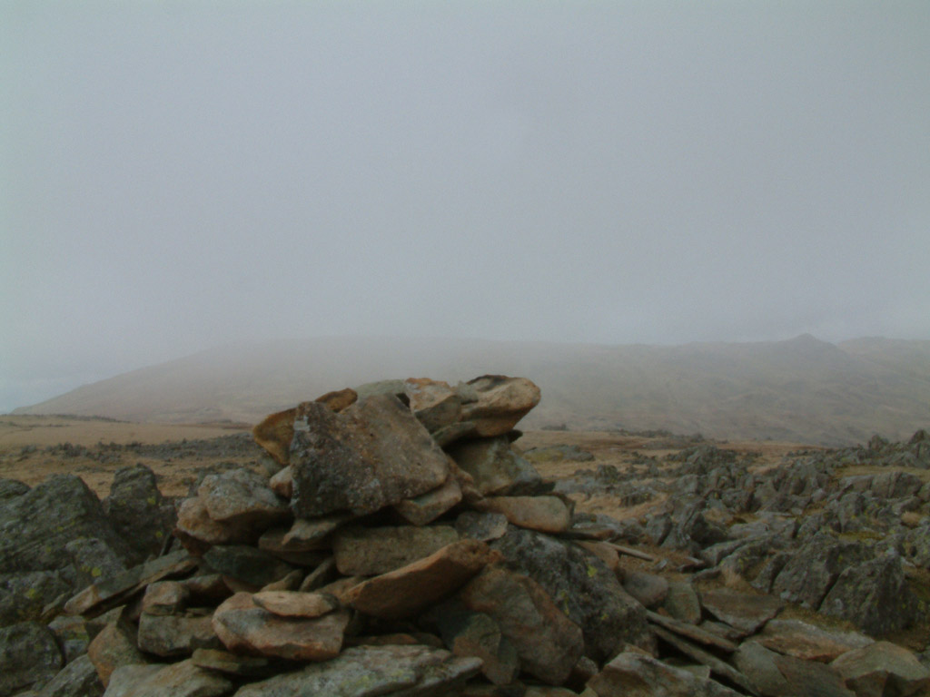
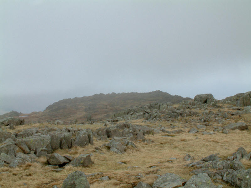
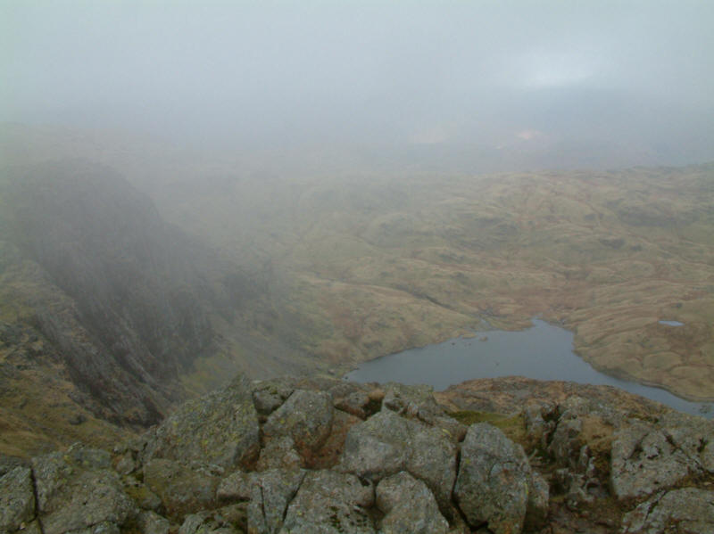
Leaving the crowds behind, on the Blea Rigg ridge, Sergeant Man comes into view
in the mist on the right, with the col between High Raise and Thunacar Knott on
the left
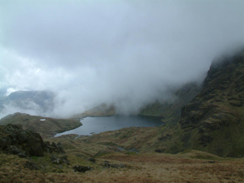
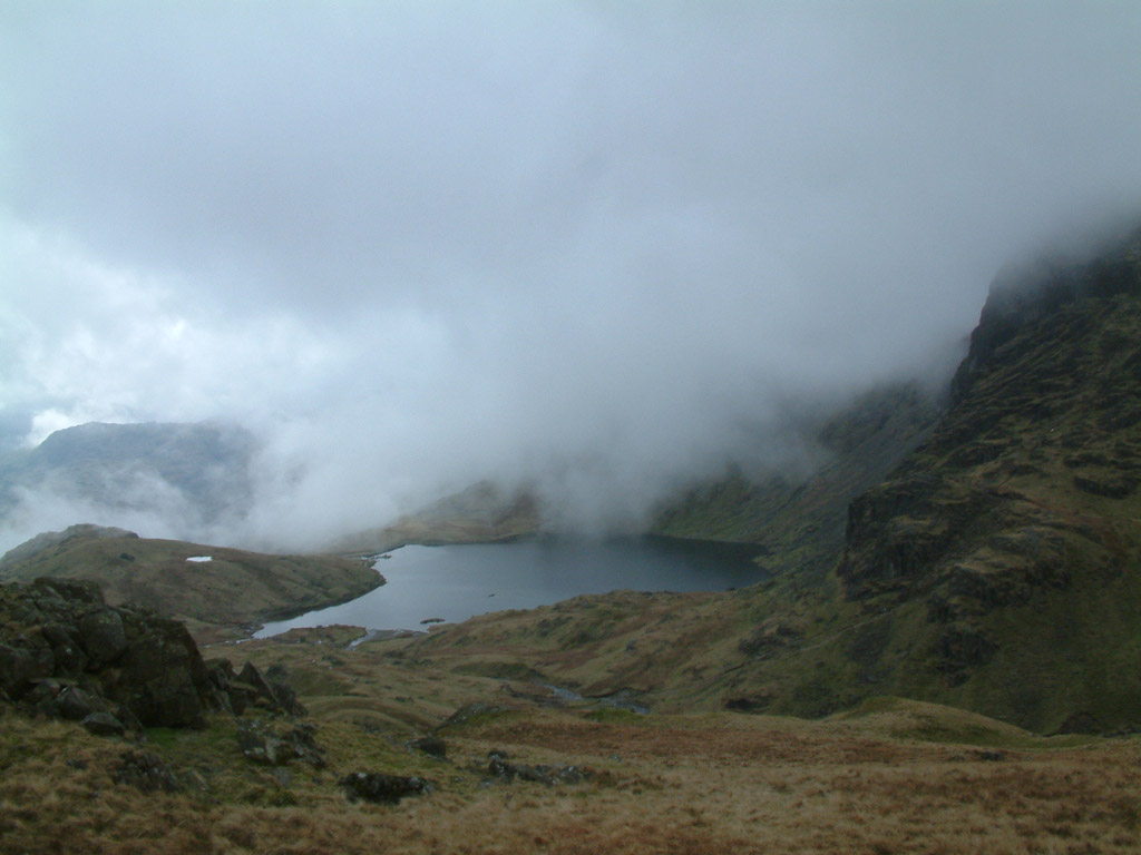
Stickle Tarn from the Blea Rigg ridge
From the same spot, Pavey Ark and Harrison Stickle
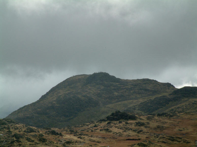
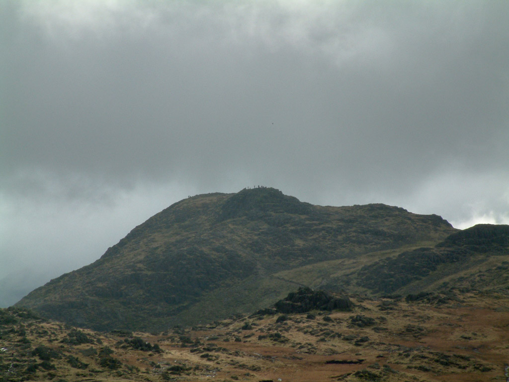
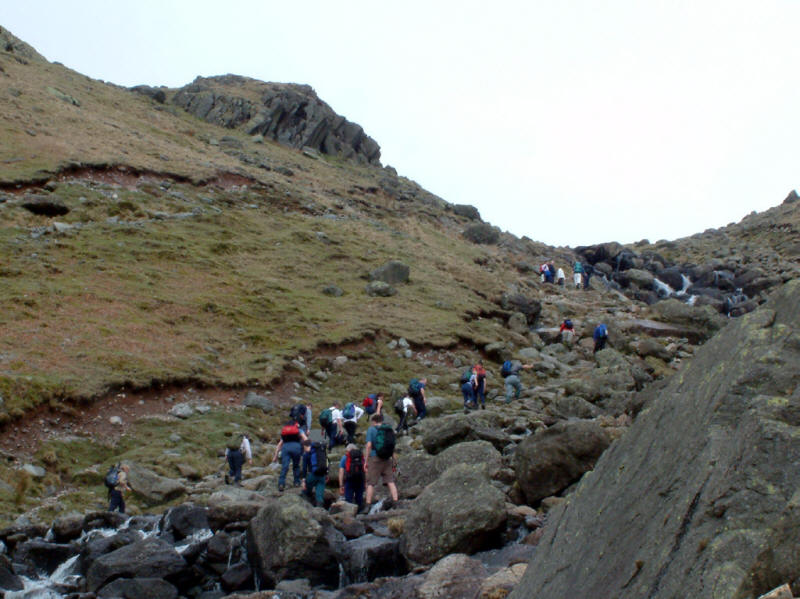
Crowds on Pavey Ark
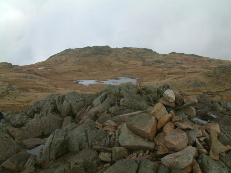
Codale Head from Sergeant Man

Sergean Man from the slopes of Codale Head (730m / 2395ft). While Sergeant Man
is well known and features in Wainwright's guide, Codale Head is much less
frequently visited, but by virtue of its greater relative height above
surrounding land, is a Nuttall,
one of seven on today's walk.
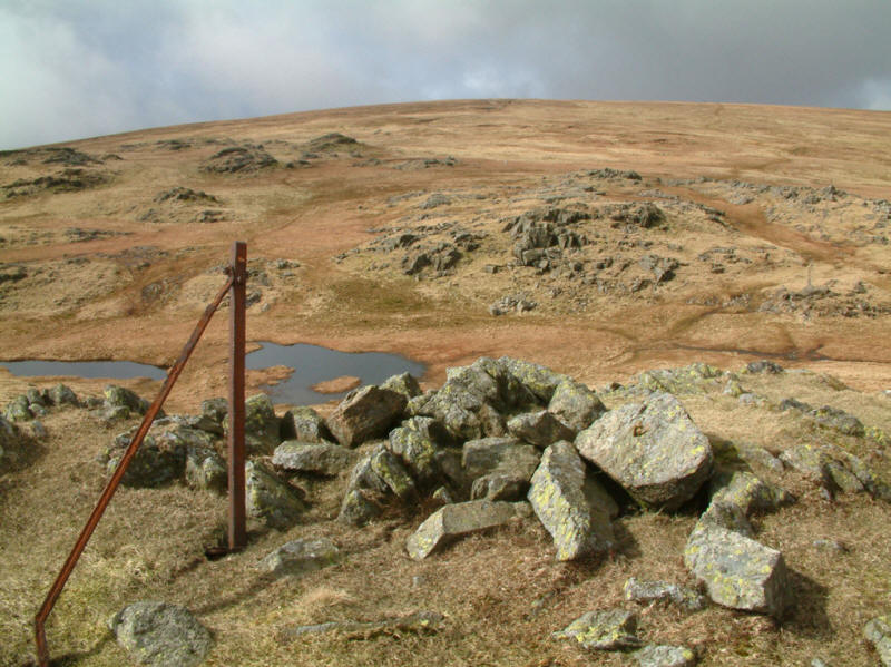
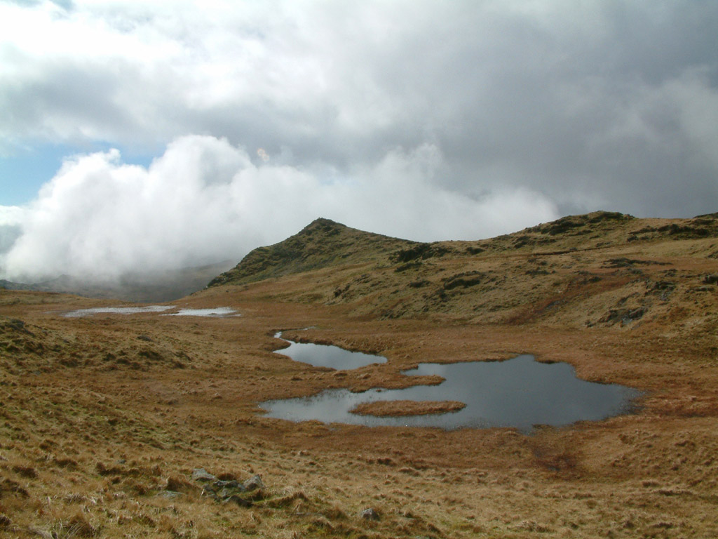
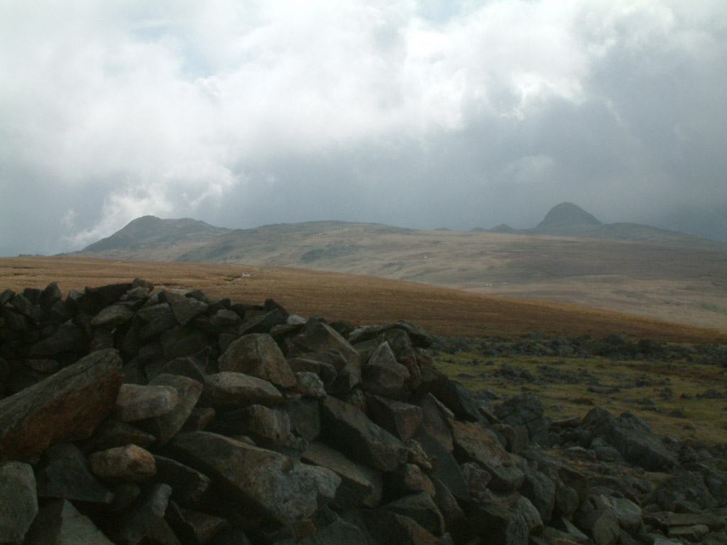
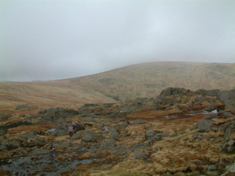
The rounded grass lump of High Raise from Codale Head, with one of the fence
posts that formerly marked the boundary between Cumberland and Westmorland

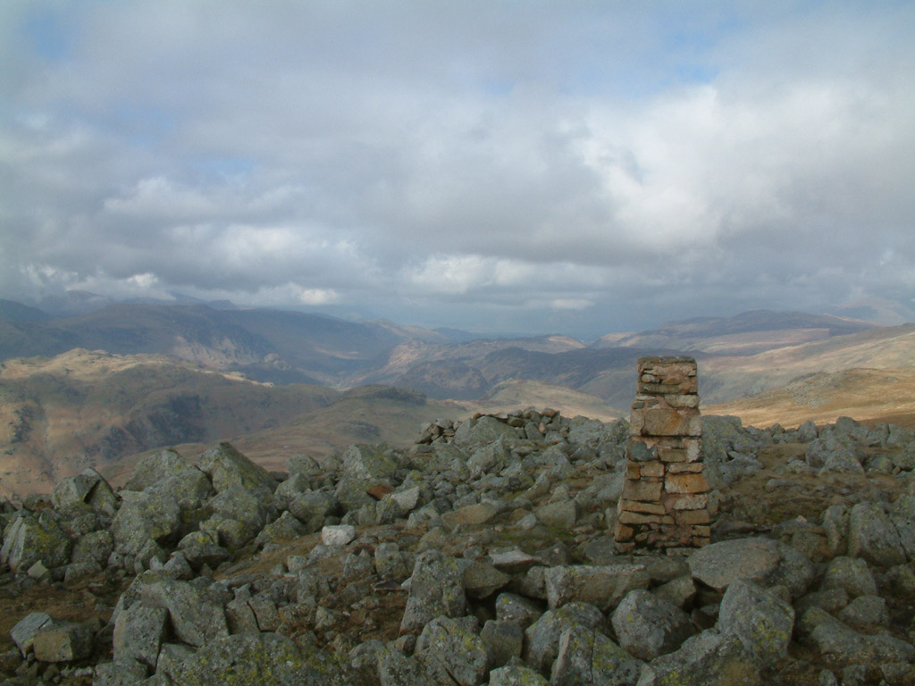
The trig point on High Raise (762m / 2500ft), looking north
From the wall shelter on High Raise, looking south to Harrison Stickle on the
left and Pike O'Stickle on the right
From the shelter on High Raise

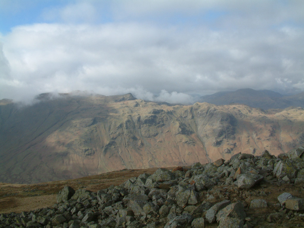
Looking west to the summit of Glaramara, with Dale Head visible in the distance
to the right
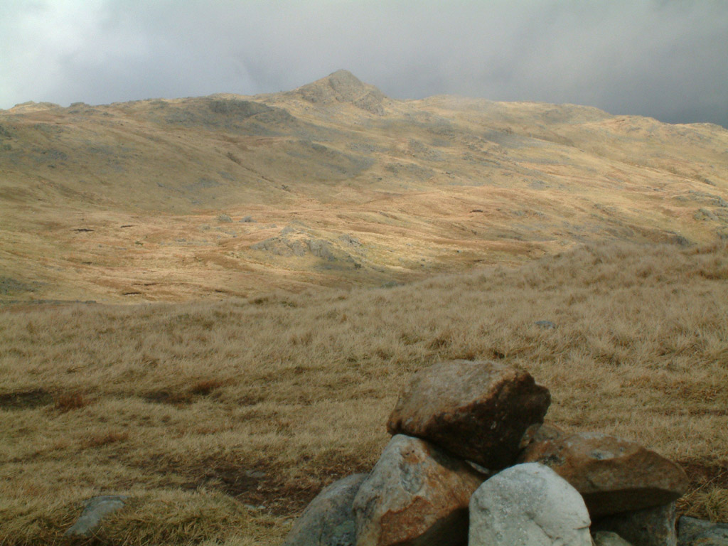
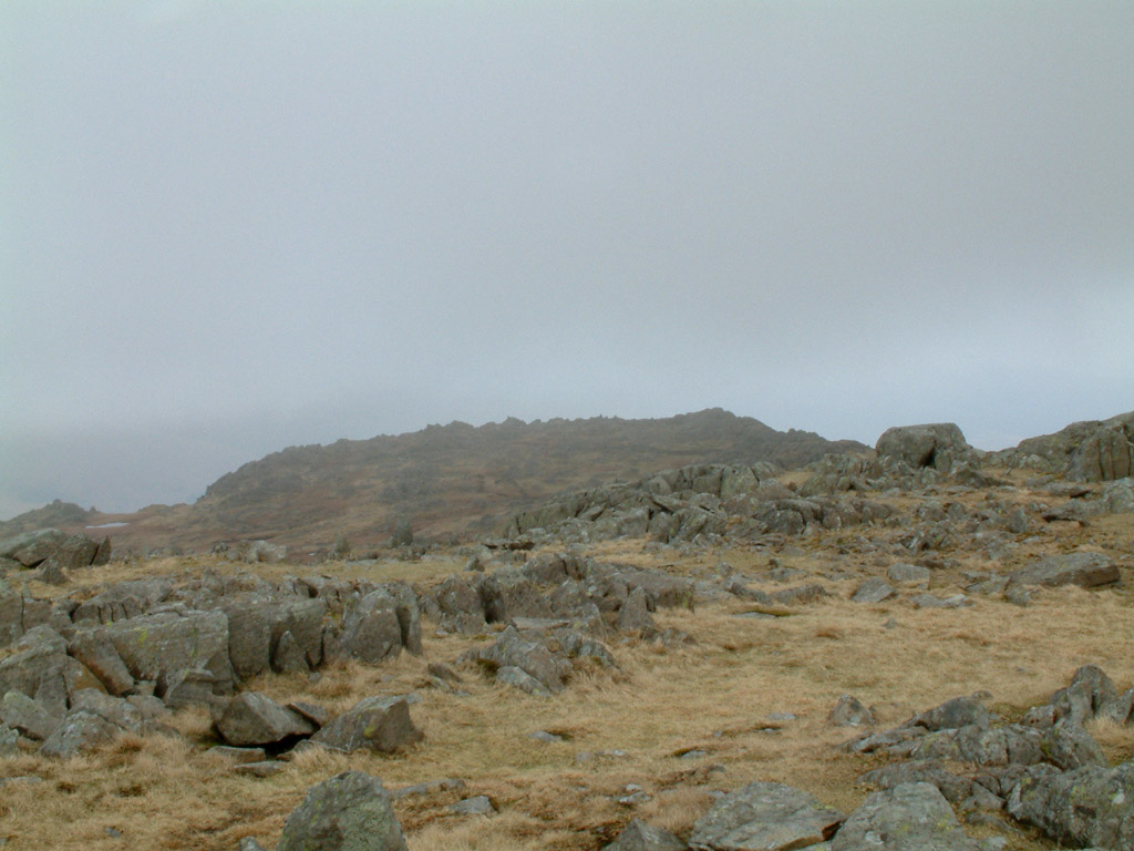
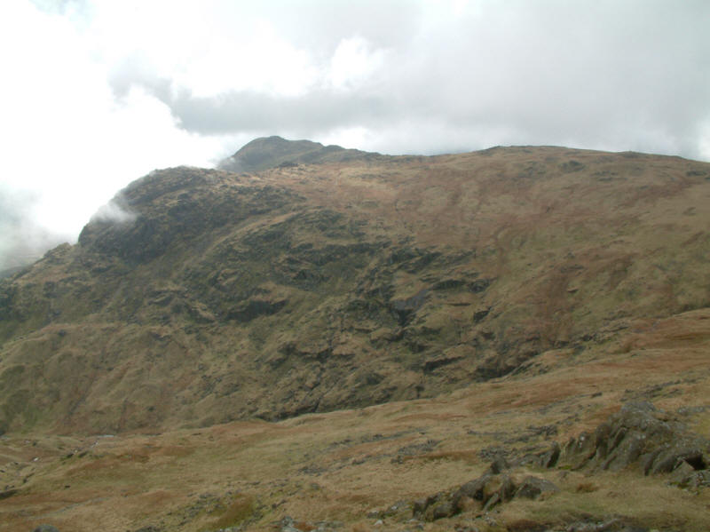
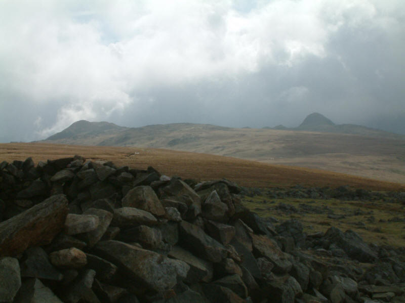
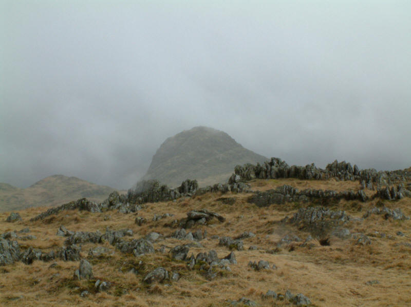
On the northern slopes of Thunacar Knott, looking back to Sergeant Man
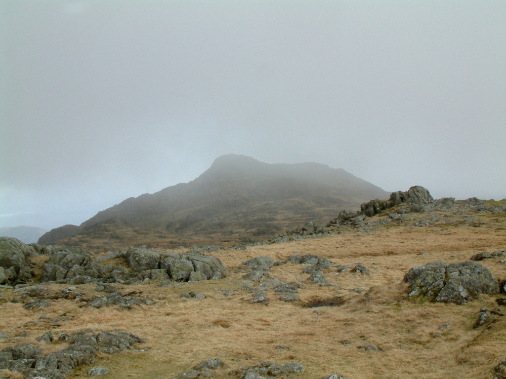
From Thunacar Knott (723m / 2372ft) looking north to High Raise (left) and
Sergeant Man (right)
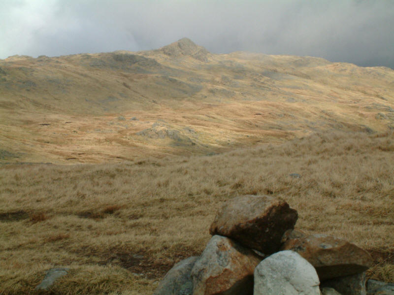
From Thunacar Knott, Pavey Ark

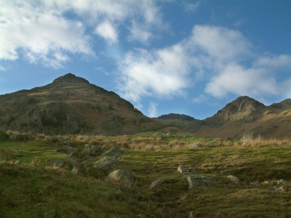
Harrison Stickle from Thunacar Knott
Pike O'Stickle from Thunacar Knott
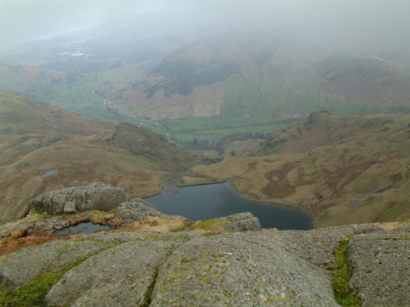
Stickle Tarn, Great Langdale, and Elterwater and Windermere just visible, from
Pavey Ark
High Raise from Pavey Ark
Pavey Ark and Stickle Tarn from Harrison Stickle

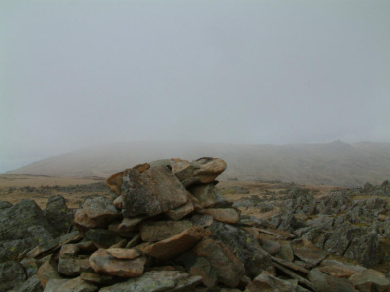
Dense fog on the tops of Pike O'Stickle and Loft Crag rendered photography
pointless, but on the descent the clouds lifted once more. A retrospective view
to Pavey Ark (centre), with the lesser but nearer heights of Thorn Crag and Tarn
Crag framing it.

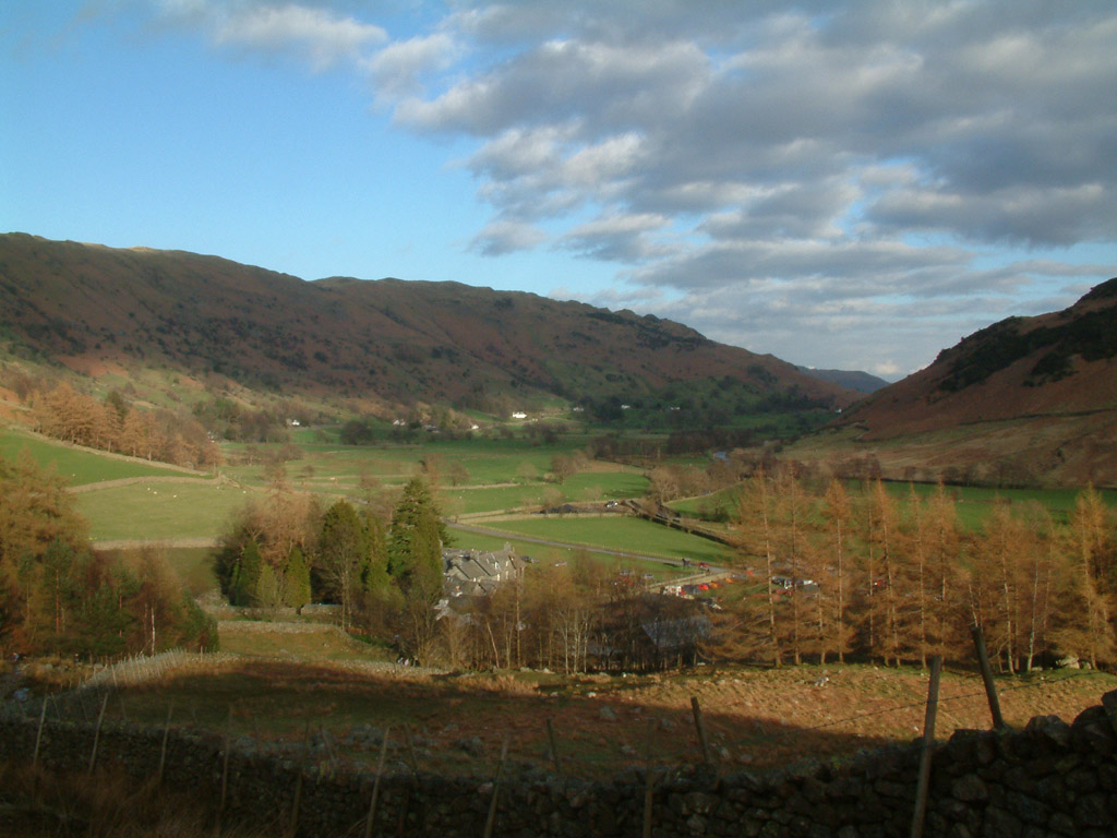
From the same point, Great Langdale. By this time, my legs were complaining
bitterly, and the sight of the car in the valley between the trees was a case of
"so near and yet so far". A very enjoyable walk, nonetheless.
Lake District holiday March 2005
|
|