Lake District:
Whin Rigg and Illgill Head
24 August 2005
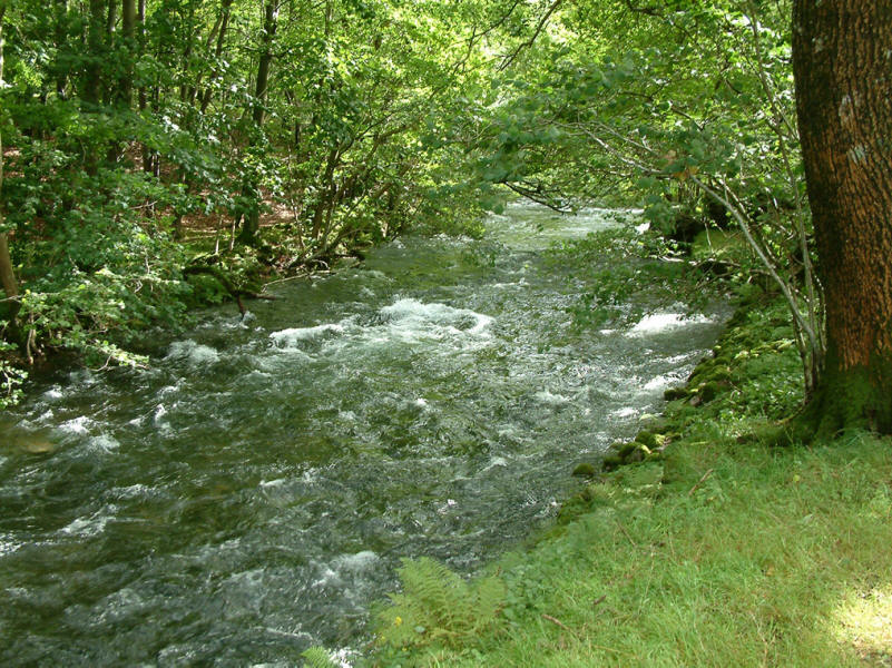
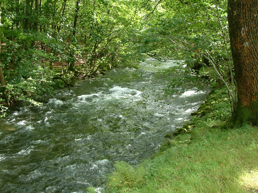
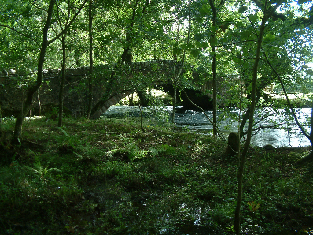
The River Irt above Lund Bridge carries the excess water away from Wastwater
after a night of heavy rain
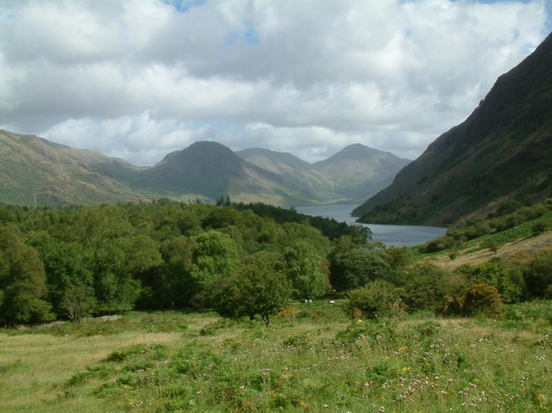
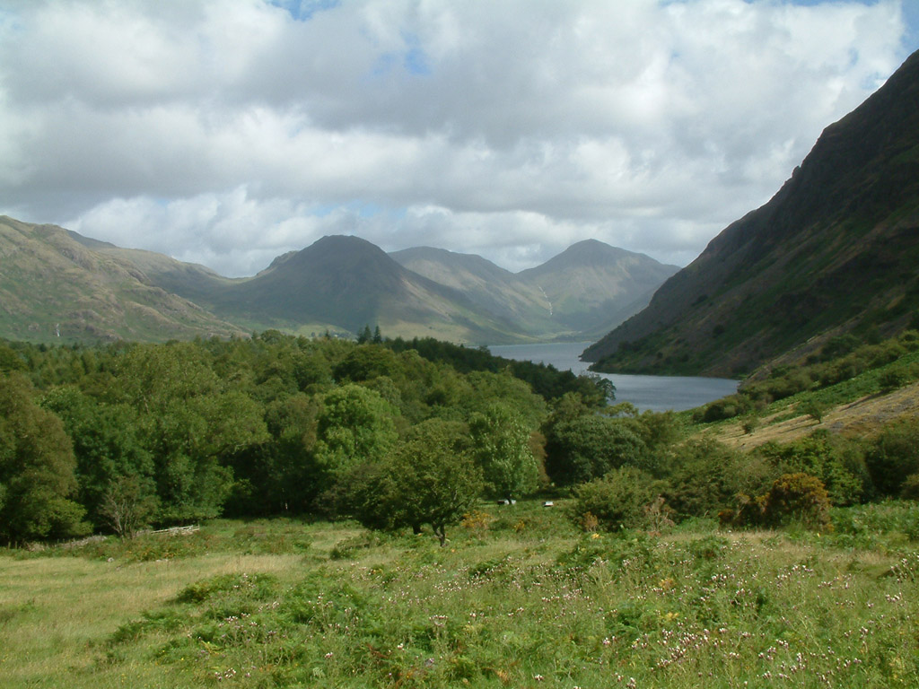
As we begin our ascent alongside Greathall Gill, Wastwater comes into view
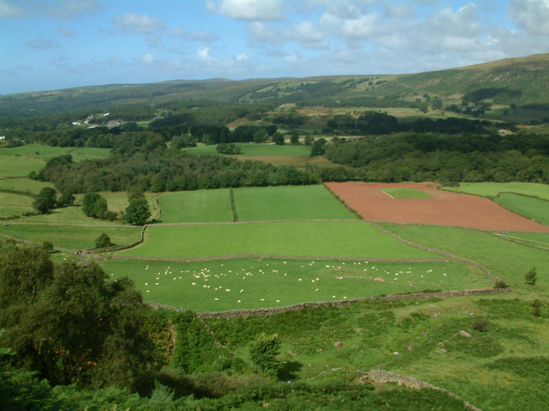
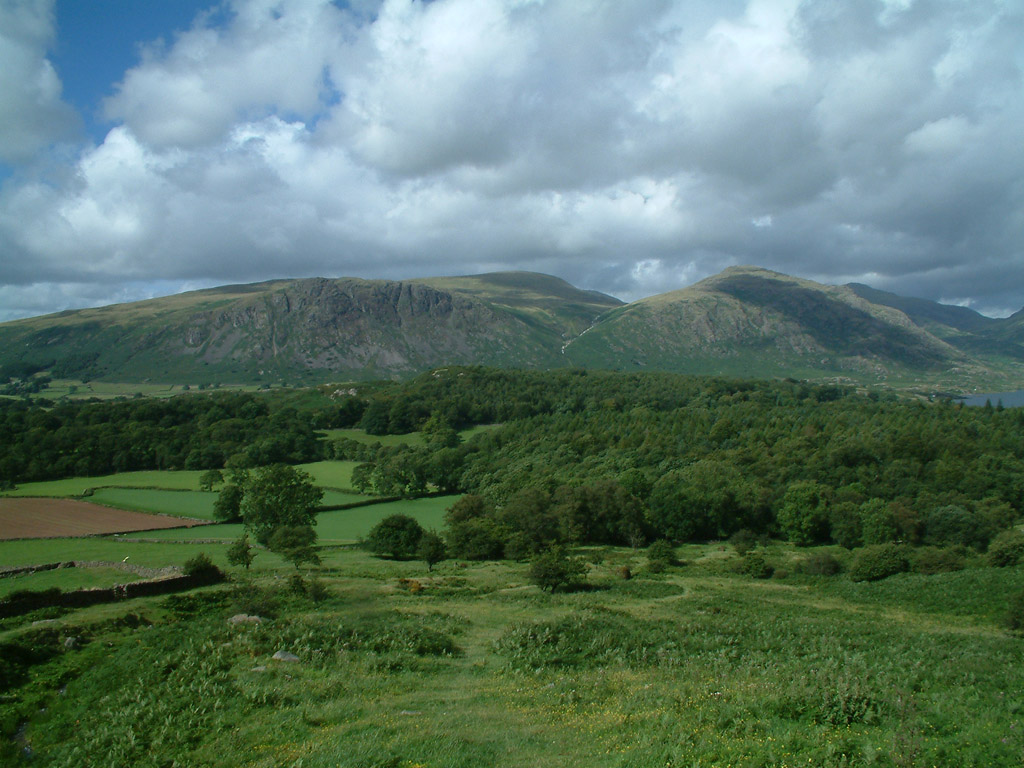
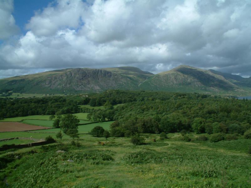
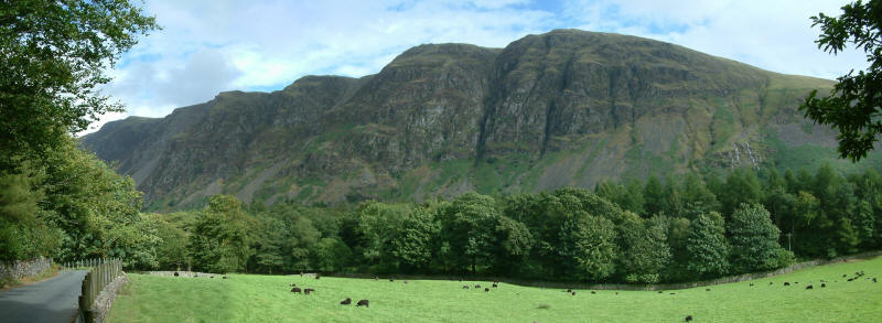
The farmland of Nether Wasdale
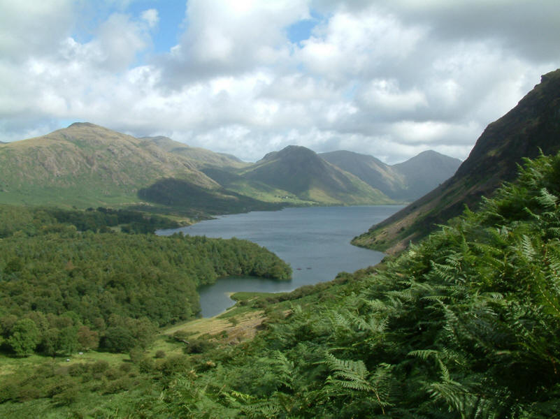
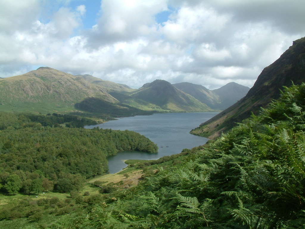
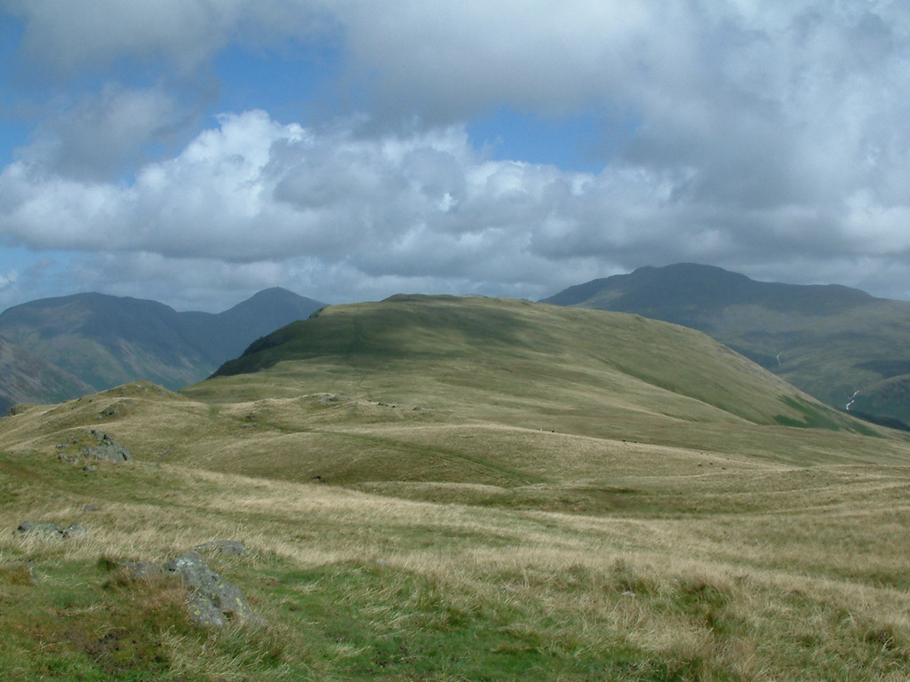
Ascending further, Wastwater and its surrounding fells become clearer

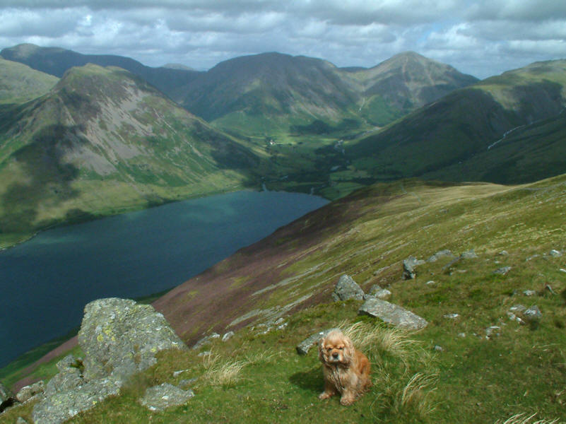
George at the summit of Whin Rigg, with Buckbarrow and Seatallan behind. On
George's left shoulder you can just see the ends of my bootlace which served as
his collar for the day when I discovered I'd left the proper one back at the
house: he seemed quite comfortable with the doubled-round thick lace.
Looking north-east to Illgill Head, with Scafell behind to the right
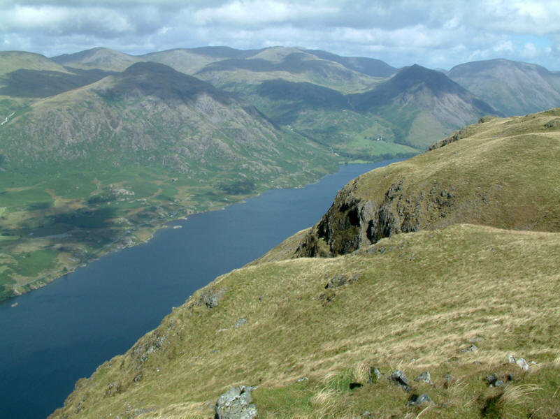
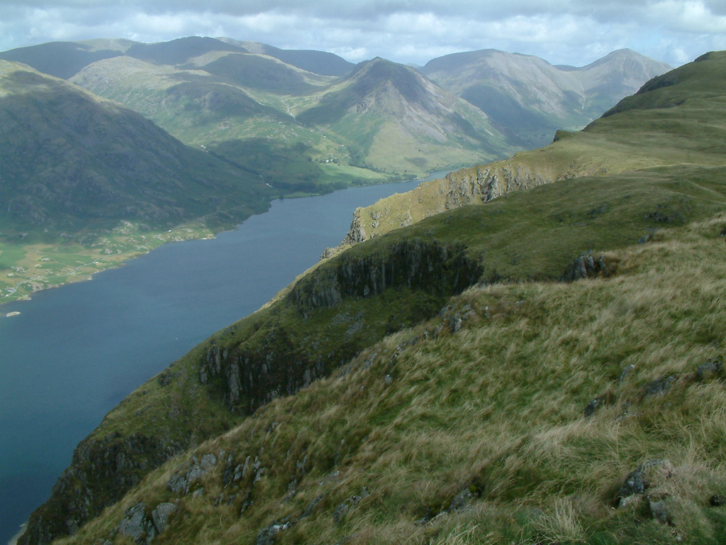
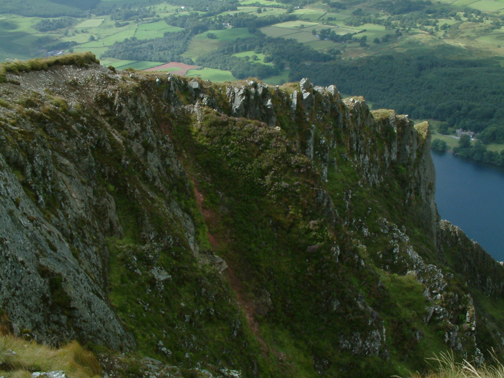
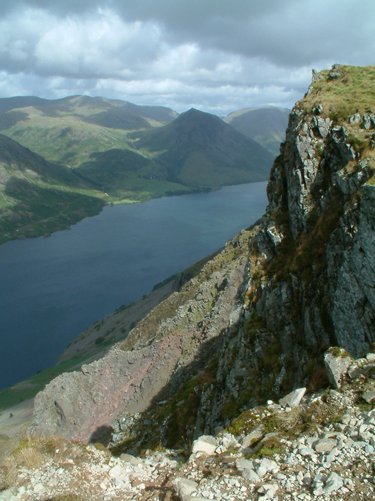
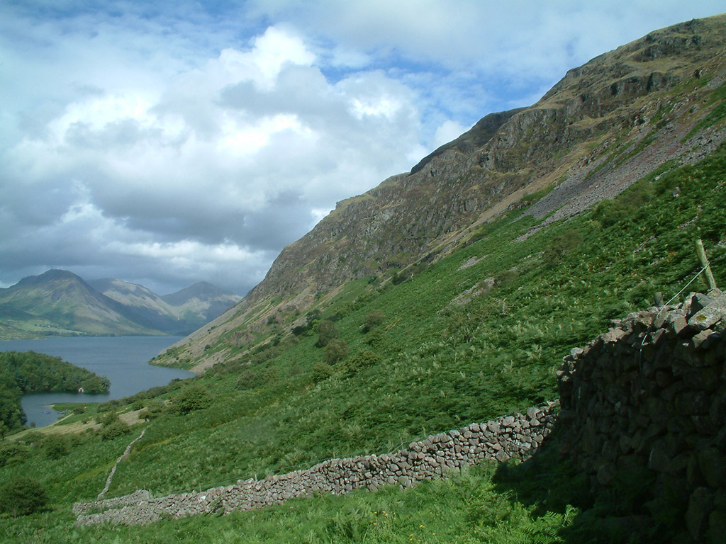
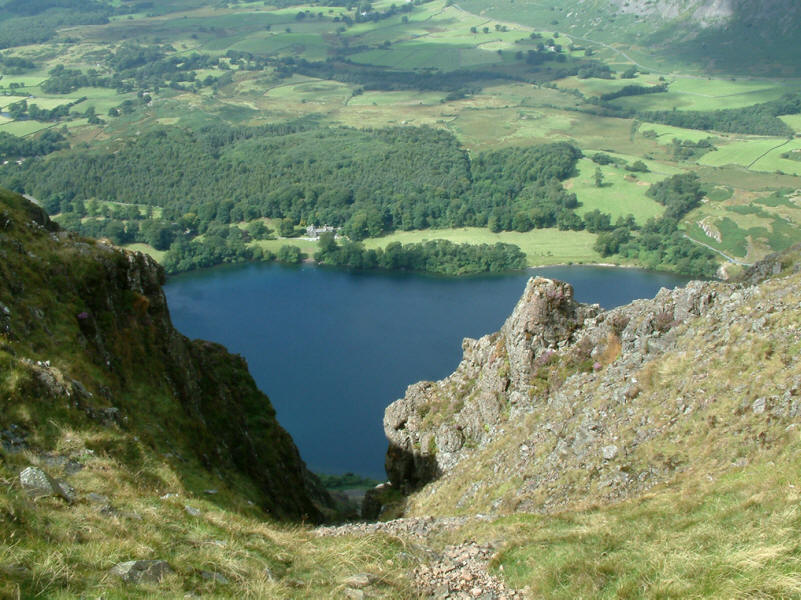
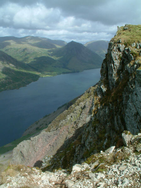
As we make our way from Whin Rigg to Illgill Head, we keep near the edge to
enjoy the spectacular views down Wastwater Screes to the lake below
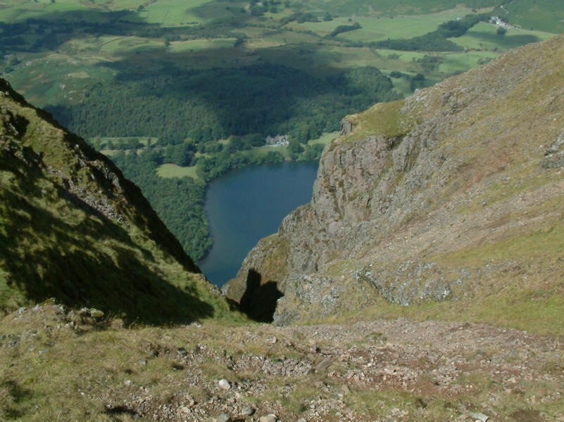
This felt a lot steeper than it looks in the photograph!
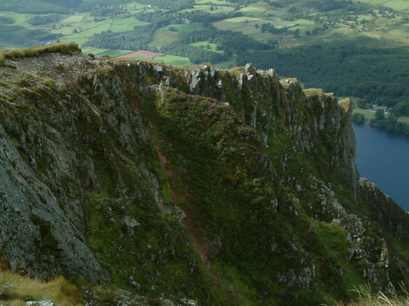
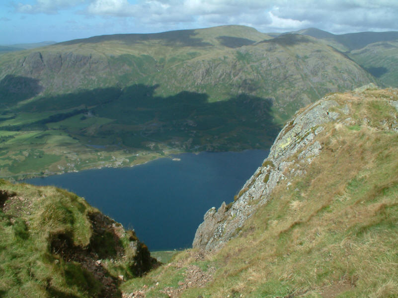
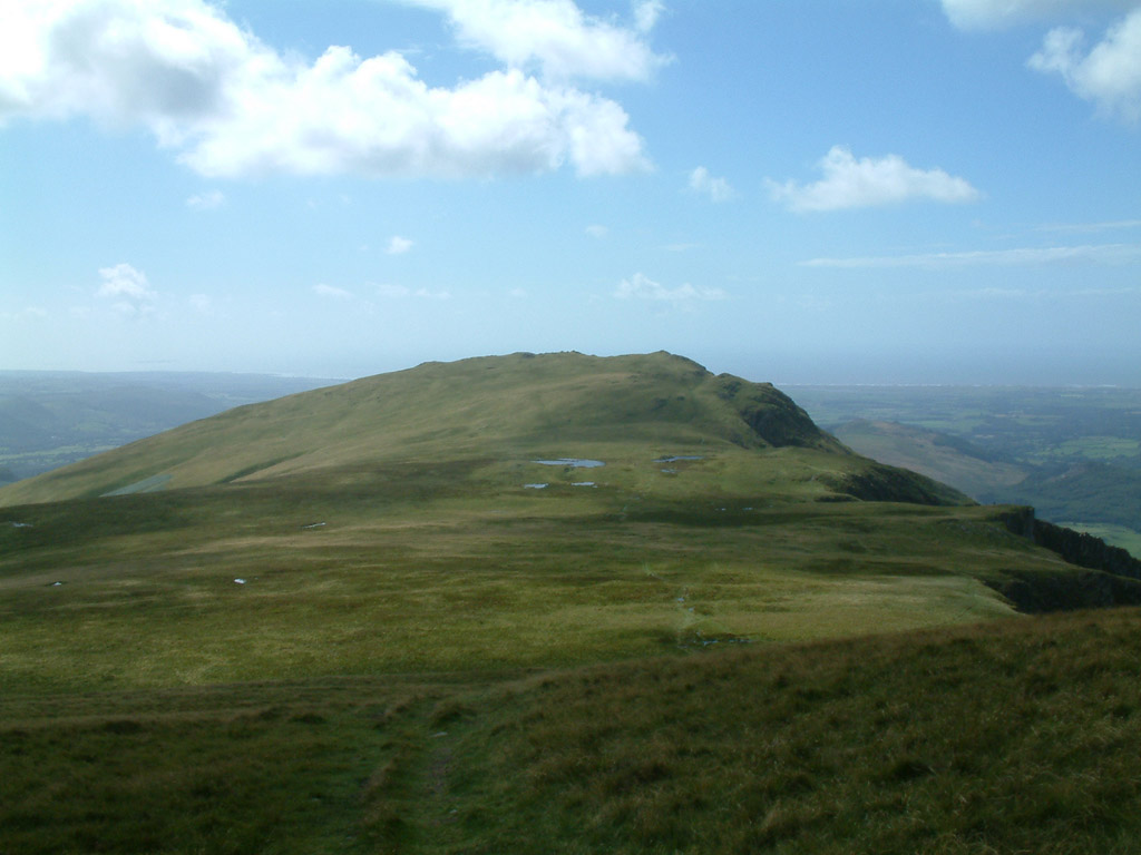
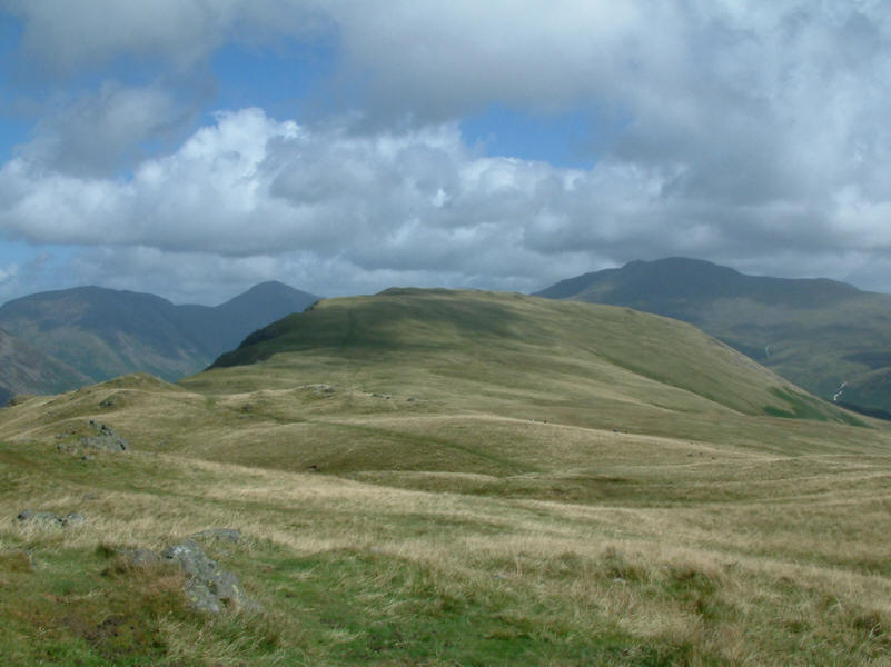
From near the top of Illgill Head, looking back to Whin Rigg

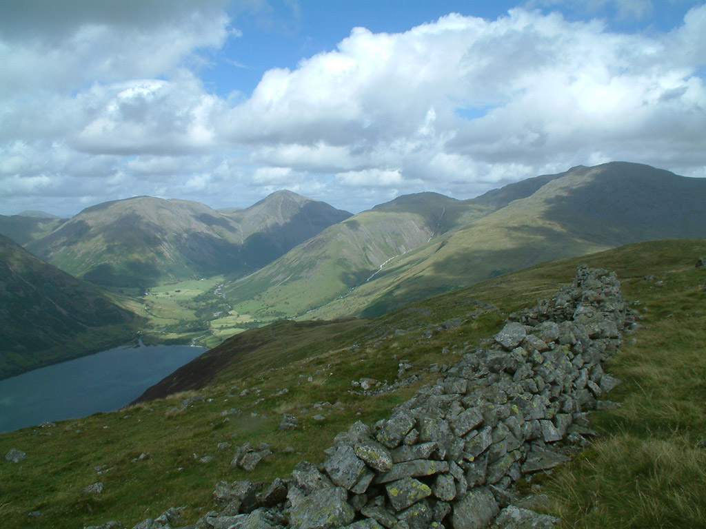
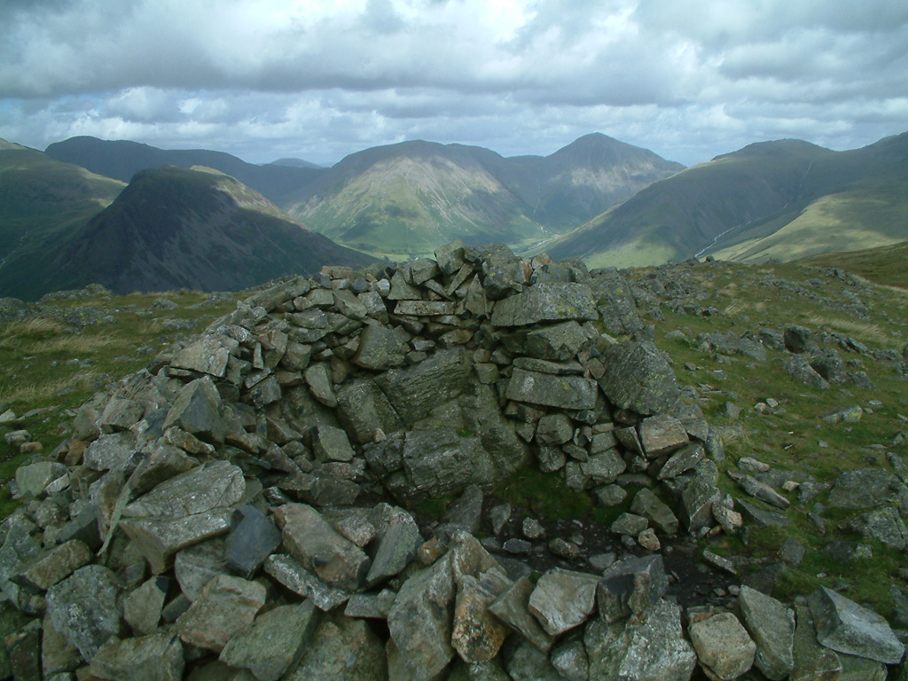
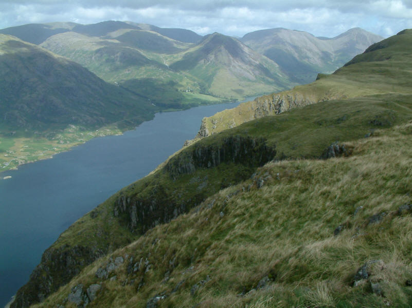
From the broken stone wall just below the summit of Illgill Head looking to the
fells surrounding Wasdale Head
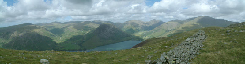
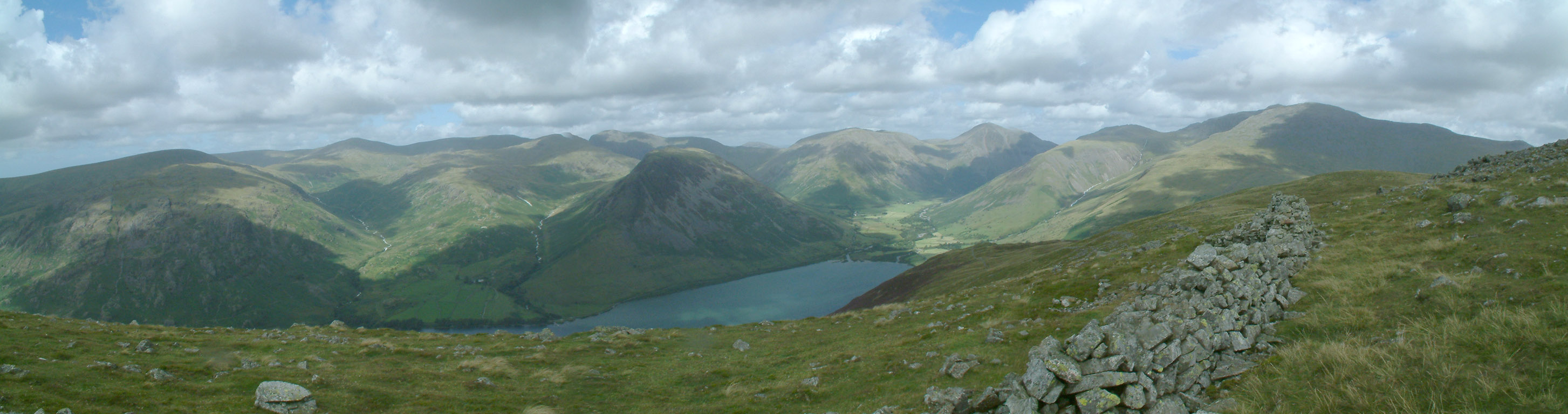
A panoramic photo from the same spot
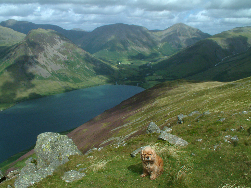
George on Illgill Head with Yewbarrow on the left, the flat-topped Kirk Fell
centre with Great Gable to its right, and the long shoulder of Lingmell on the
right
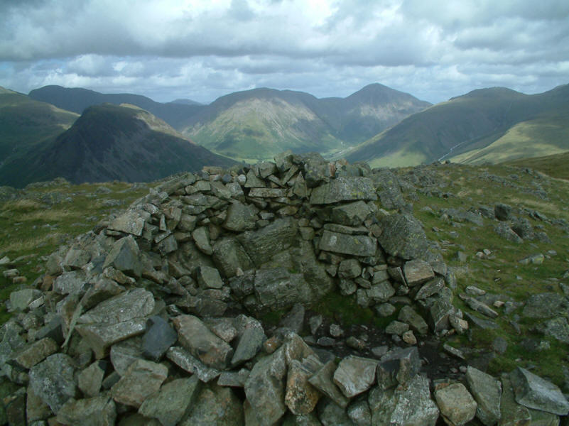
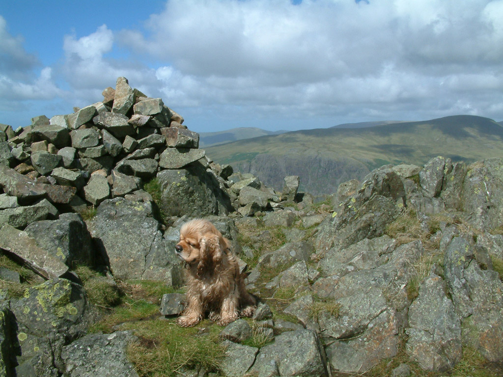
The circular wind-shelter on Illgill Head (609m/1998ft above sea level)

We largely retraced our steps, and here we approach the bottom of the slope alongside Greathall Gill
Looking north-west to Buckbarrow, Seatallan and Middle Fell, the later two being
our objective for later in the week
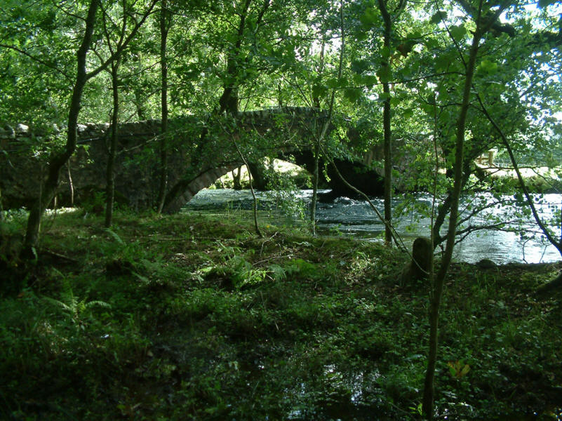
Lund Bridge across the River Irt
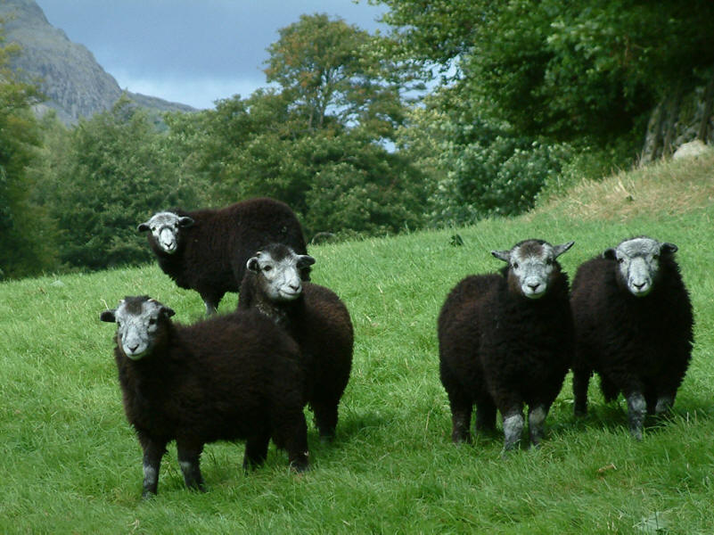
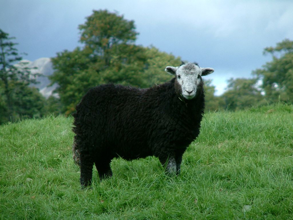
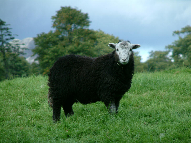
The sheep watch us with interest
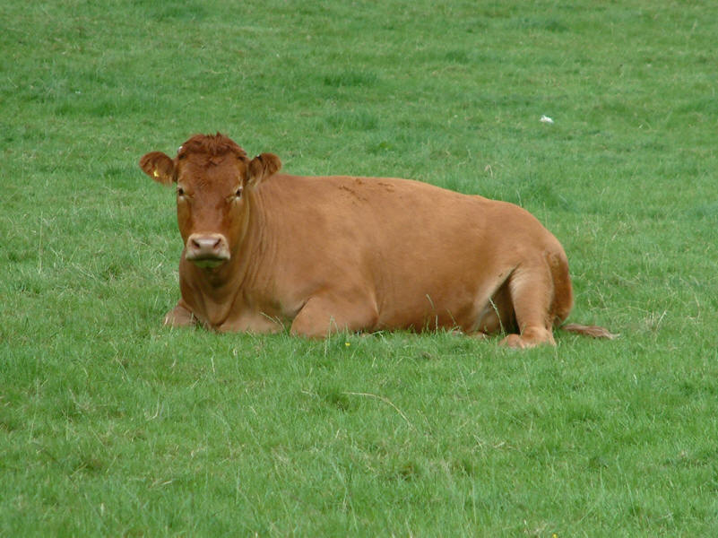
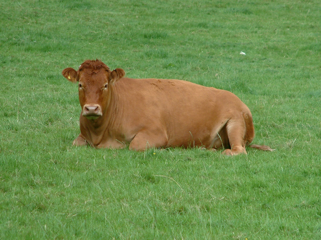
As do the cattle
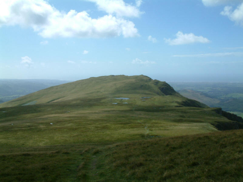
A retrospective look at Whin Rigg as we return to the car - an excellent day's
walk.
Lake District holiday August 2005
|
|