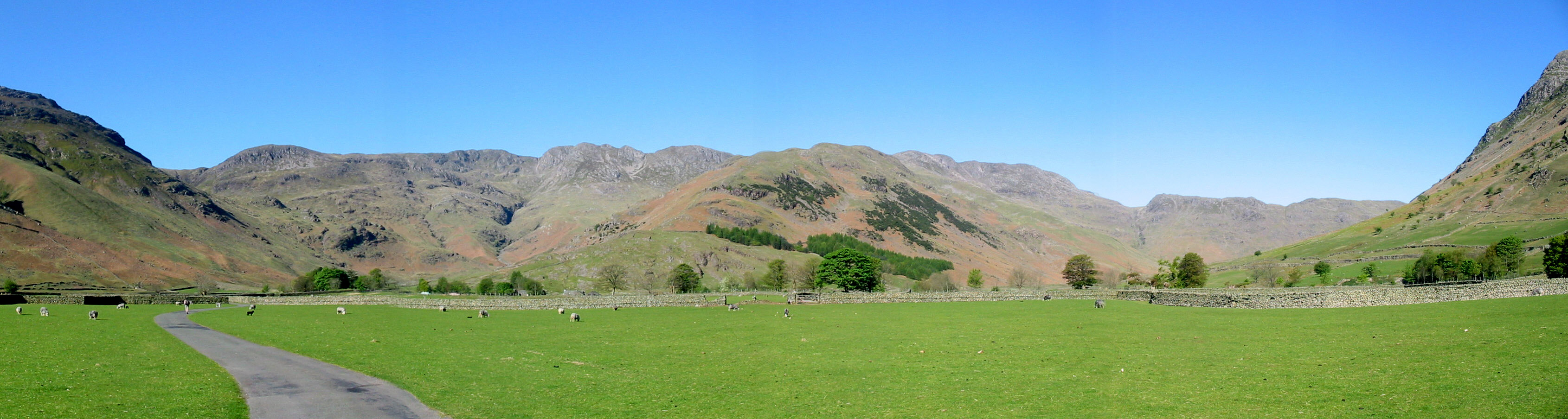
Bowfell and the Rossett Pike ridge, from Great Langdale
2 May 2007
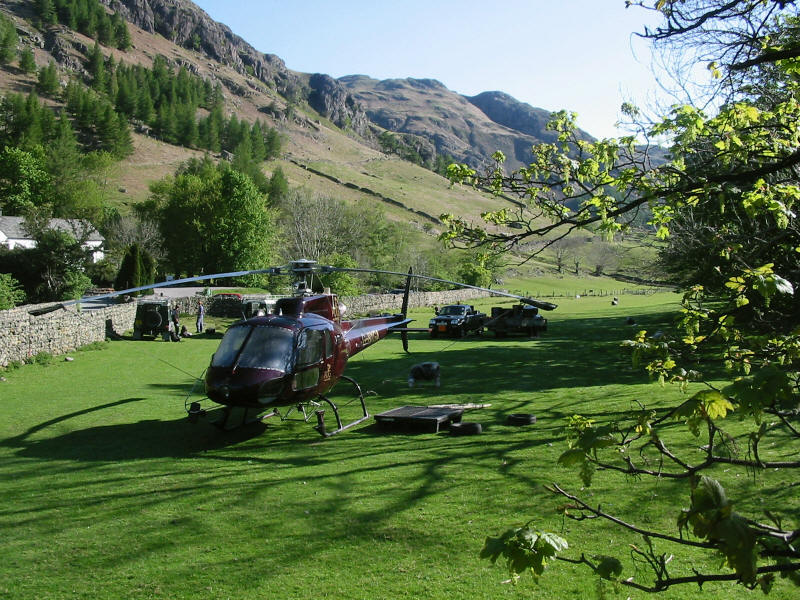
As Stephen and George make their way from the Old Dungeon Ghyll hotel car park,
a helicopter waits with National Trust staff to begin moving stone for footpath
maintenance. We saw the helicopter moving around several times during the day,
and later saw the results of its efforts.

As we walk along the flat valley bottom, our route lies up the Band, centre,
onto Bowfell, and then a descent to Angle Tarn (hidden) and a walk along the
Rossett Pike ridge, on the right of picture.
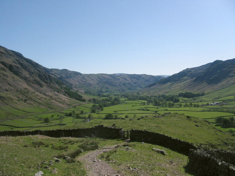
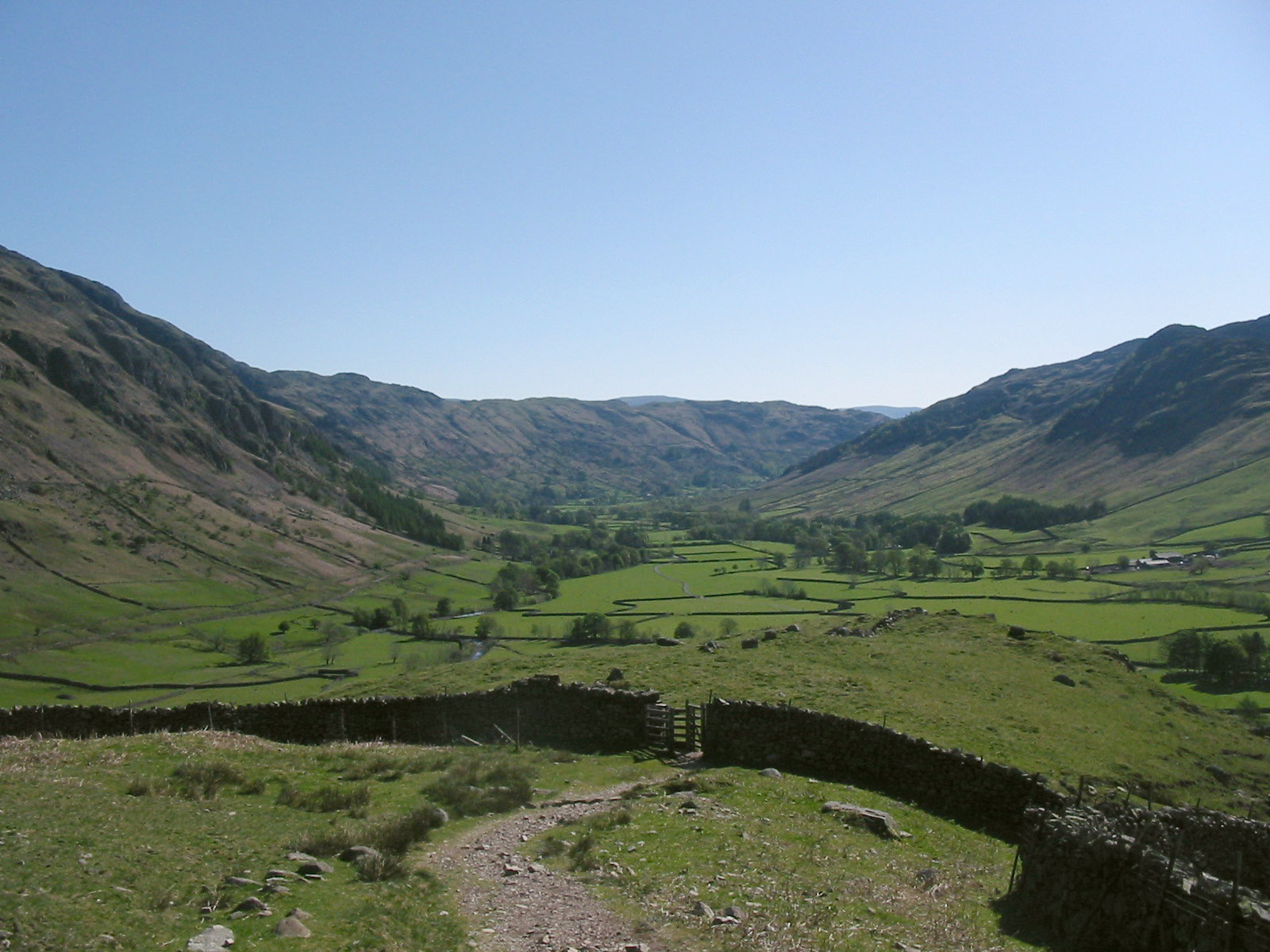
Having made our way through Stool End farm onto the long rising ridge known as
the Band, we are starting to gain some height, as a look back down
Great Langdale shows.
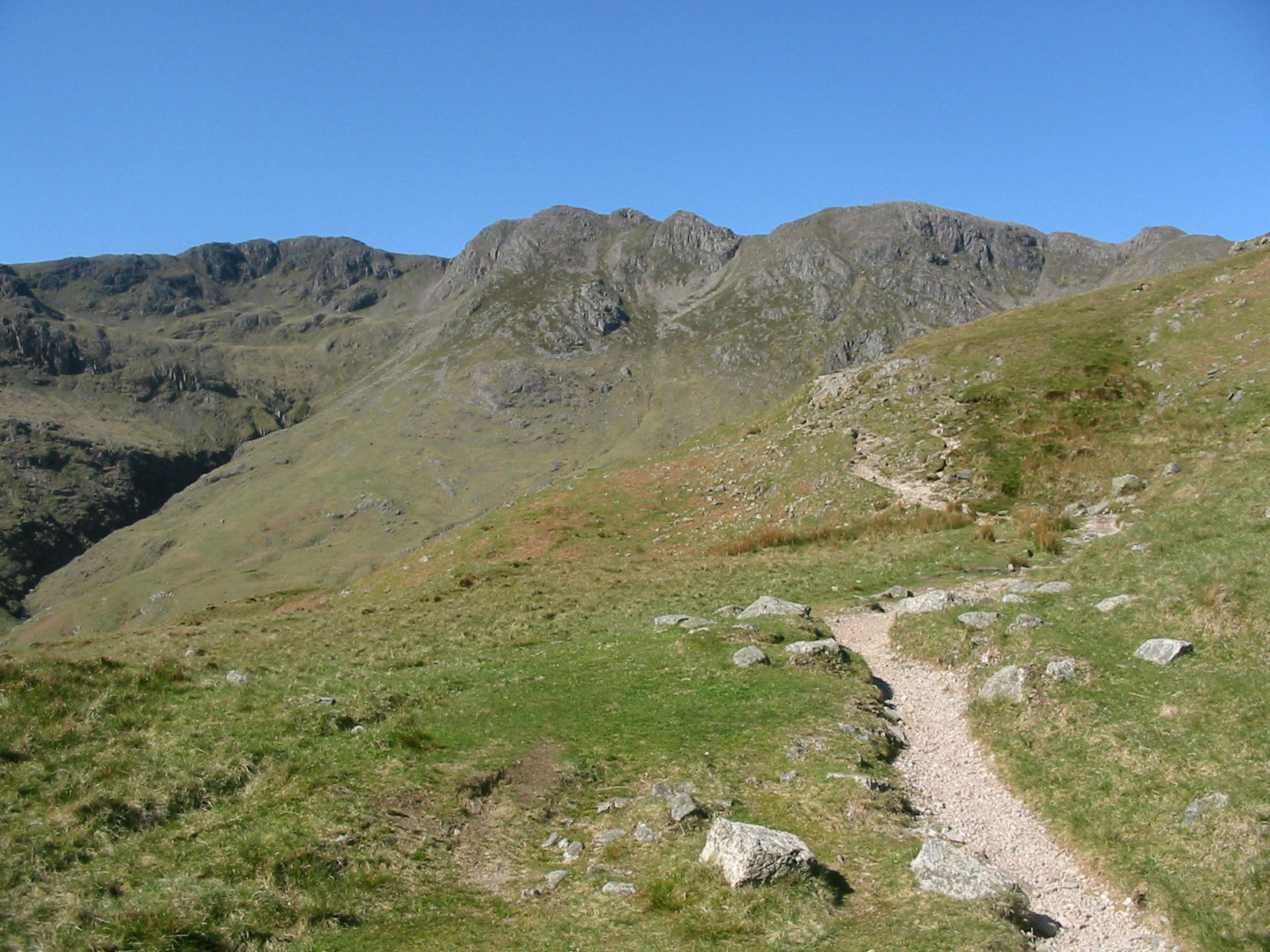
For much of the ascent, the Band blocks views of Bowfell, and so we are treated
instead to Crinkle Crags and (out of picture) Pike O'Blisco.
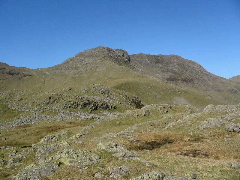
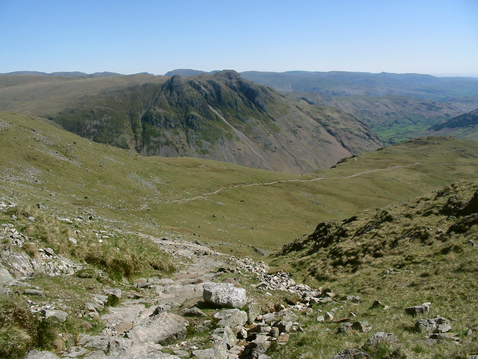
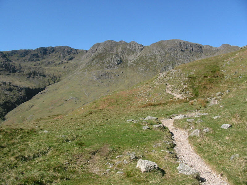
At an altitude of around 500 metres, the summit structure of Bowfell comes into
view, and we take a small diversion to the top of White Stones, a minor summit
along the Band.
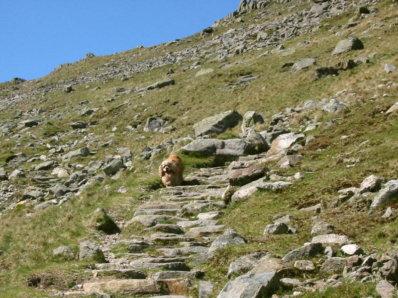
George racing back to fetch Stephen. If only he could learn to understand that
this is a moderately long walk, and hard underfoot, he would have found the
second part of the day more comfortable.

As we near the col of Three Tarns, a look back along our route of ascent and to
the Langdale Pikes the other side of the valley of Mickleden.

Looking up as Three Tarns nears
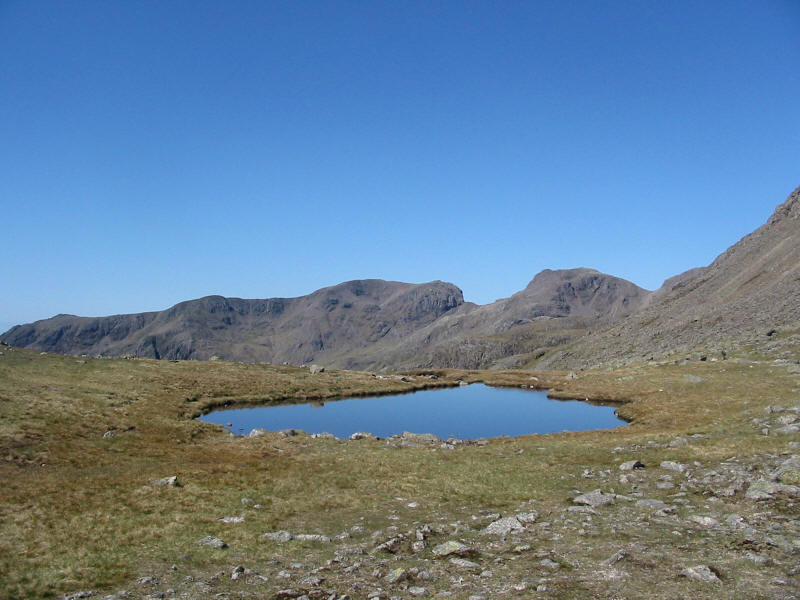
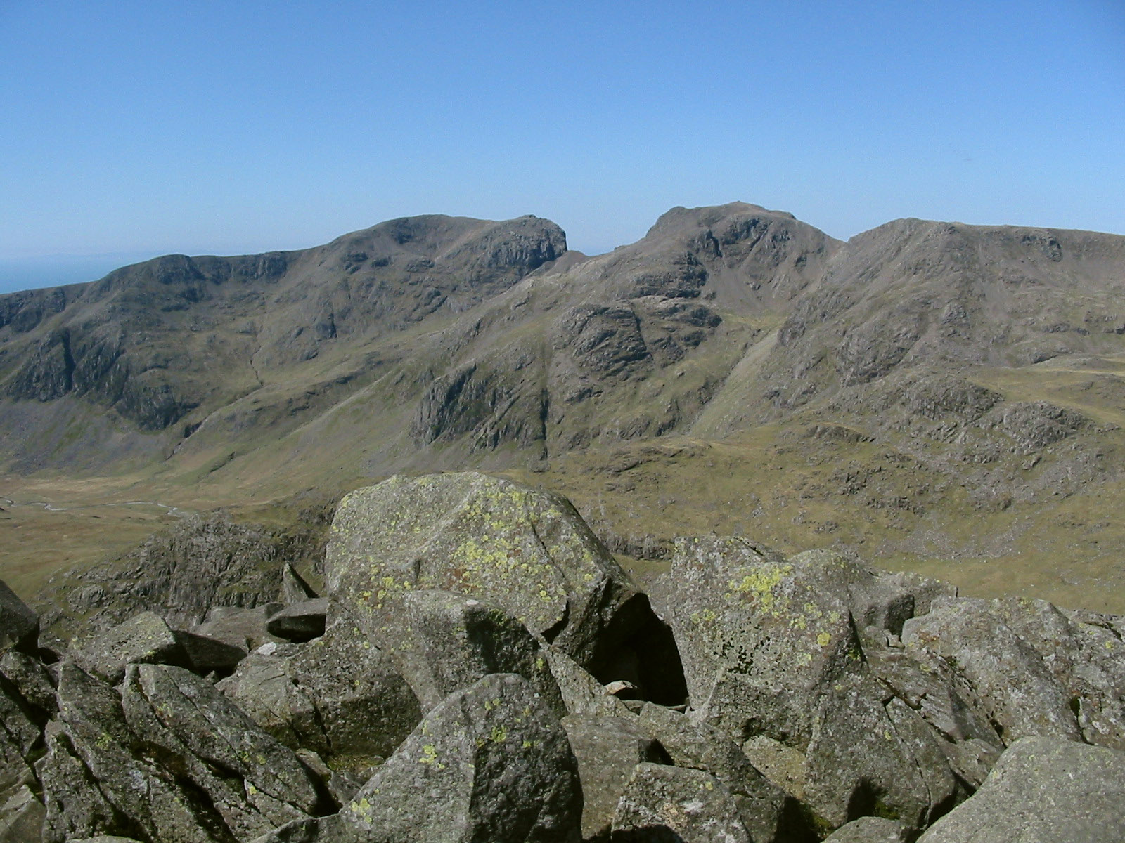
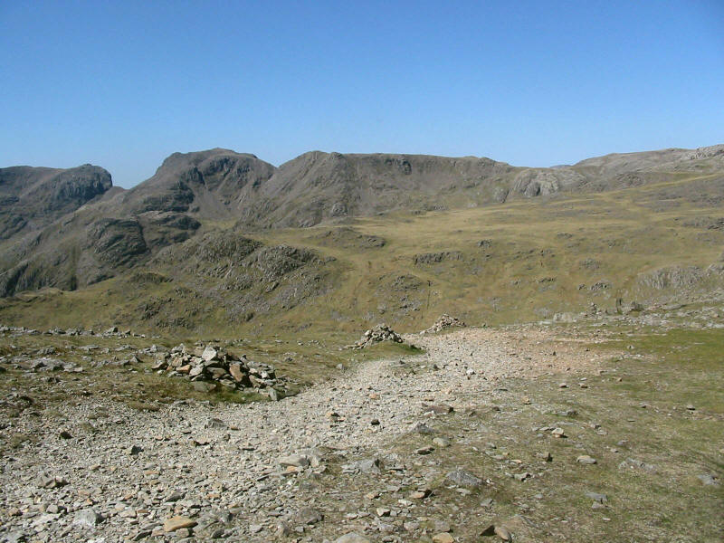
And what a magnificent view. The rugged rocky ridge of Scafell with Scafell Pike
on the right greets us over the waters of one of the Tarns.
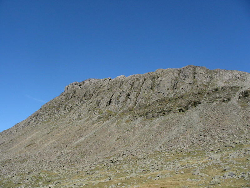
Looking up at the Links of Bowfell
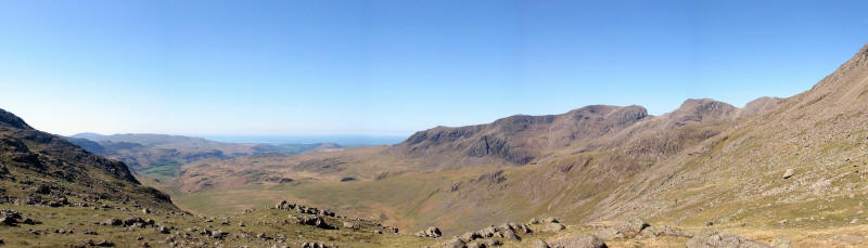
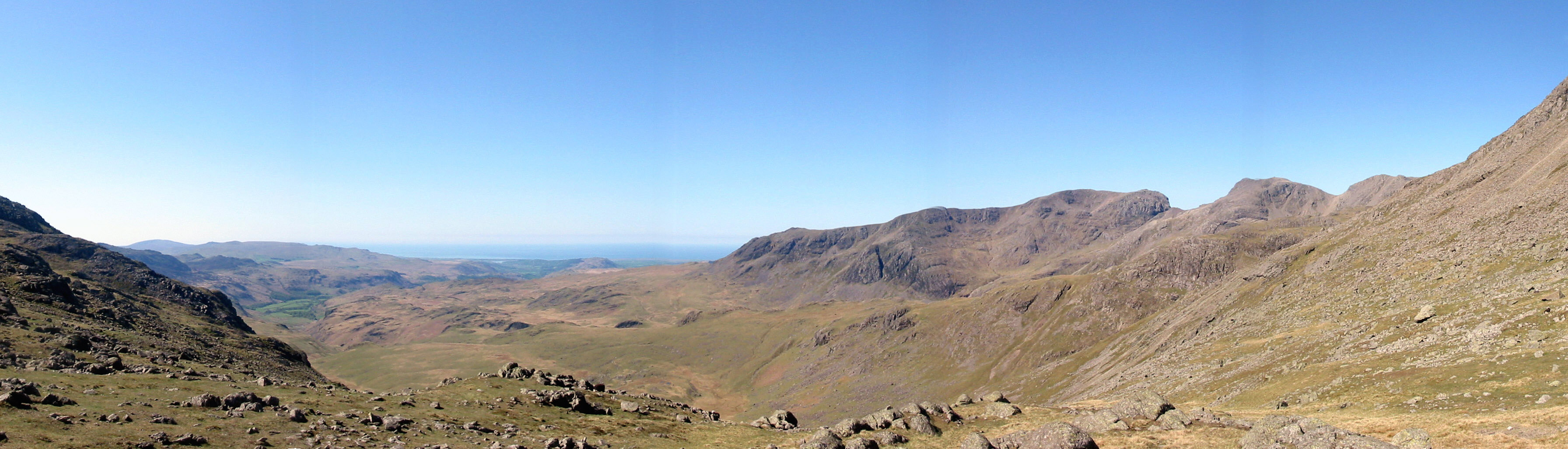
A panoramic shot from Three Tarns, the view extending down to the sea. We
stopped here for some time and just soaked up the wonderful atmosphere.
As we ascend from Three Tarns, Windermere peeps into view.
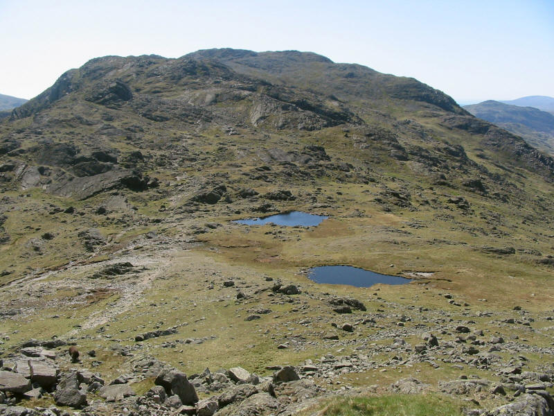
Looking down on Three Tarns, we can see that today there are only two after a
prolonged dry period. Beyond is Crinkle Crags.

As we near the summit, a look across the Great Slab of Flat Crags to the
Langdale Pikes

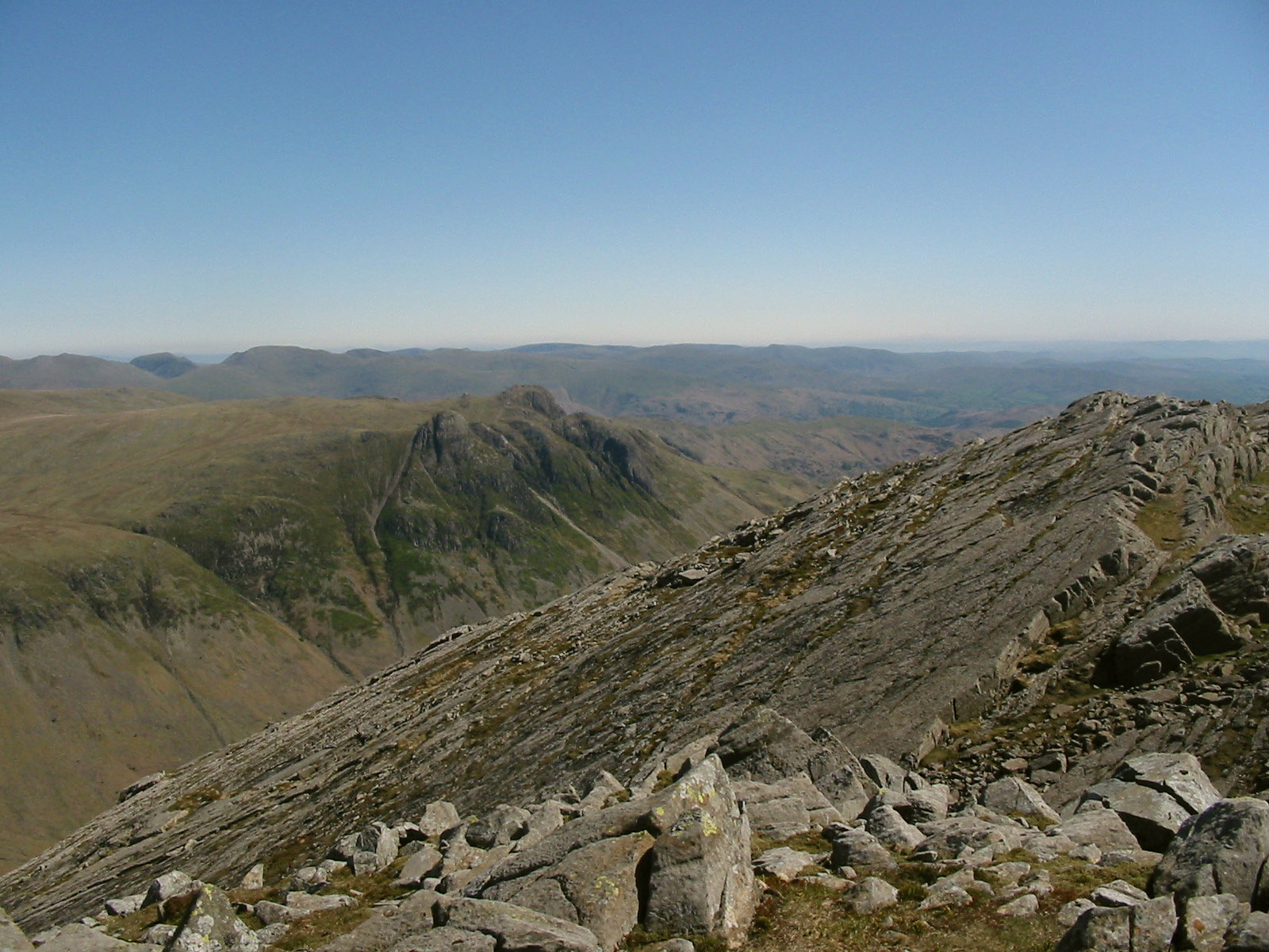
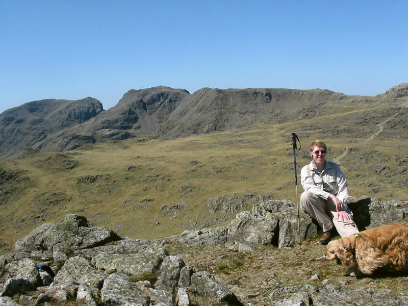
From the summit of Bowfell, a view again to the Sca Fell massif, split by the
col of Mickledore.
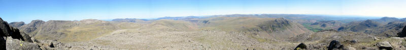
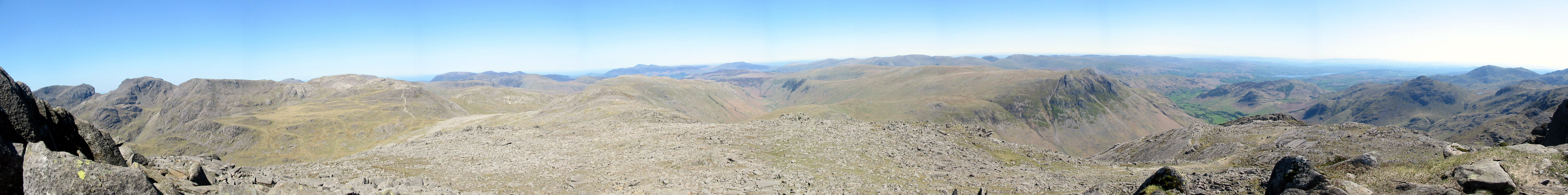
A panoramic view from west to south-east
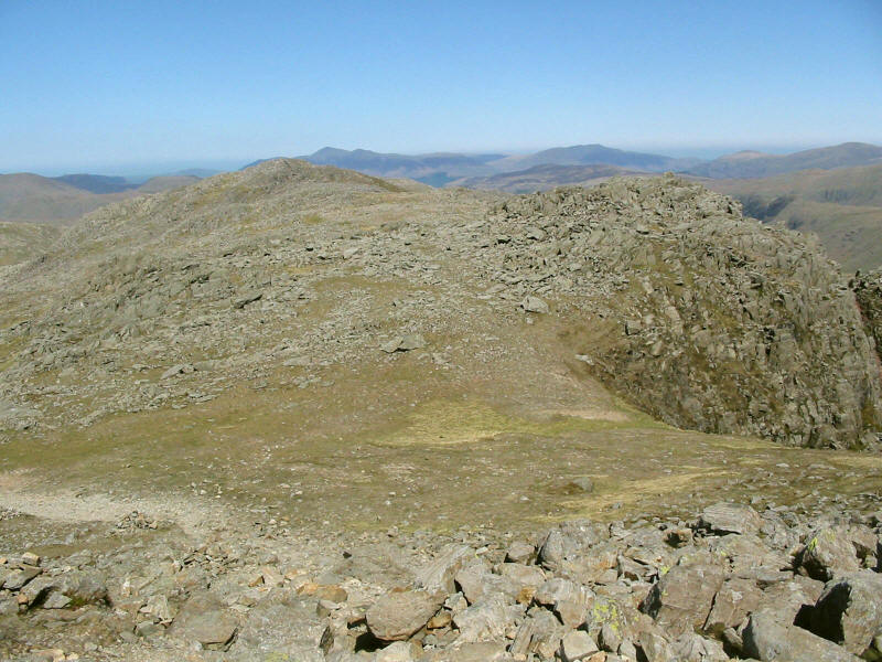
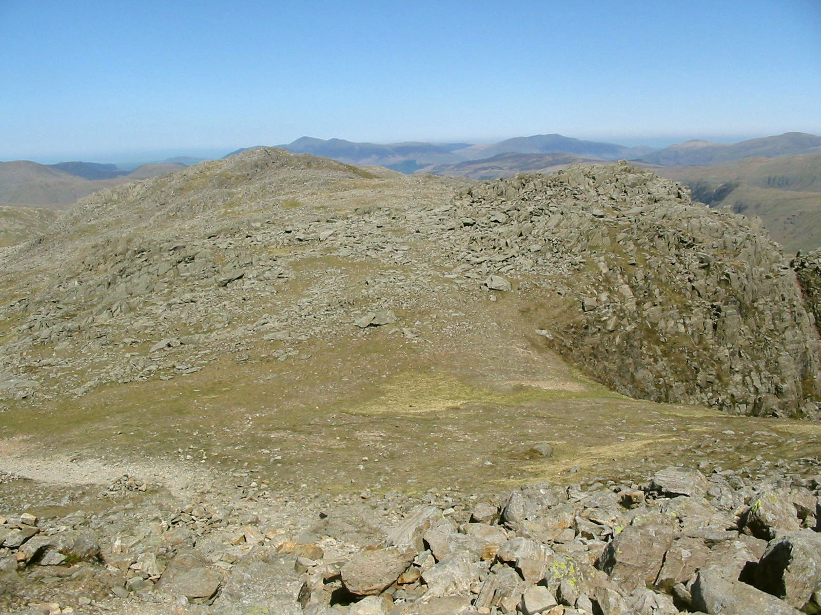
From our splendid airy lunch spot, a look across the rocky summit to the North
Top of Bowfell, beyond which is Skiddaw.
As we descend slightly, the way is clear. Are three cairns really needed here?

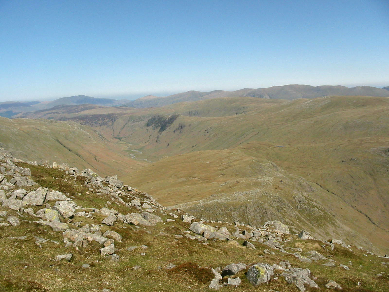
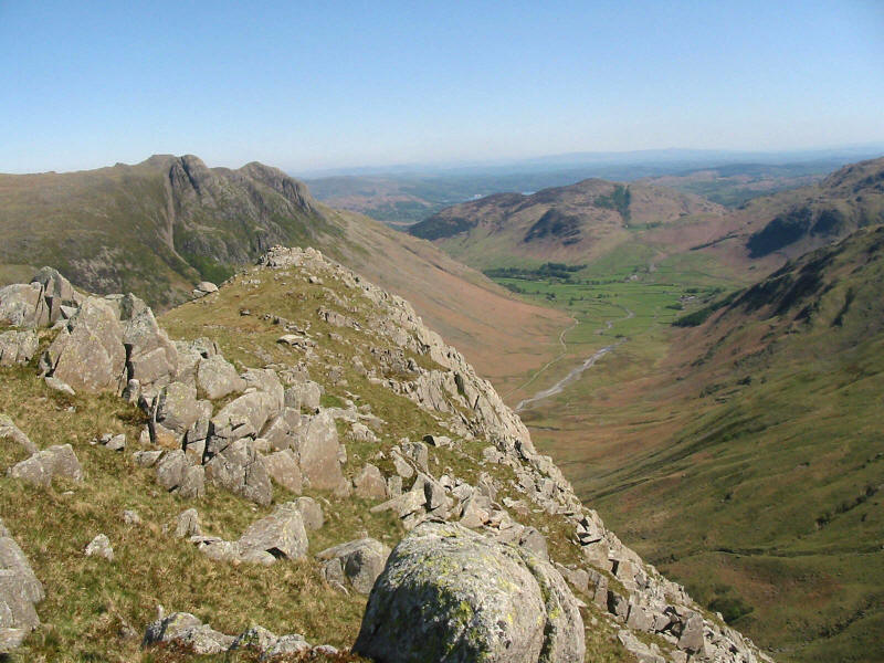
From Bowfell North Top, a look down onto the Rossett Pike ridge: to its left
Langstrath leads to Borrowdale, and to the right will lie our walk at the end of
the day, down Stake Gill into Mickleden.
It is a shame George got chopped out of this photo - with the demise of the main
camera in Coniston on Monday, these are taken with the old camera, which is
rather more difficult to get right, and doesn't offer the multiple exposures
with timer which the main camera did. This is the view from Bowfell North Top.

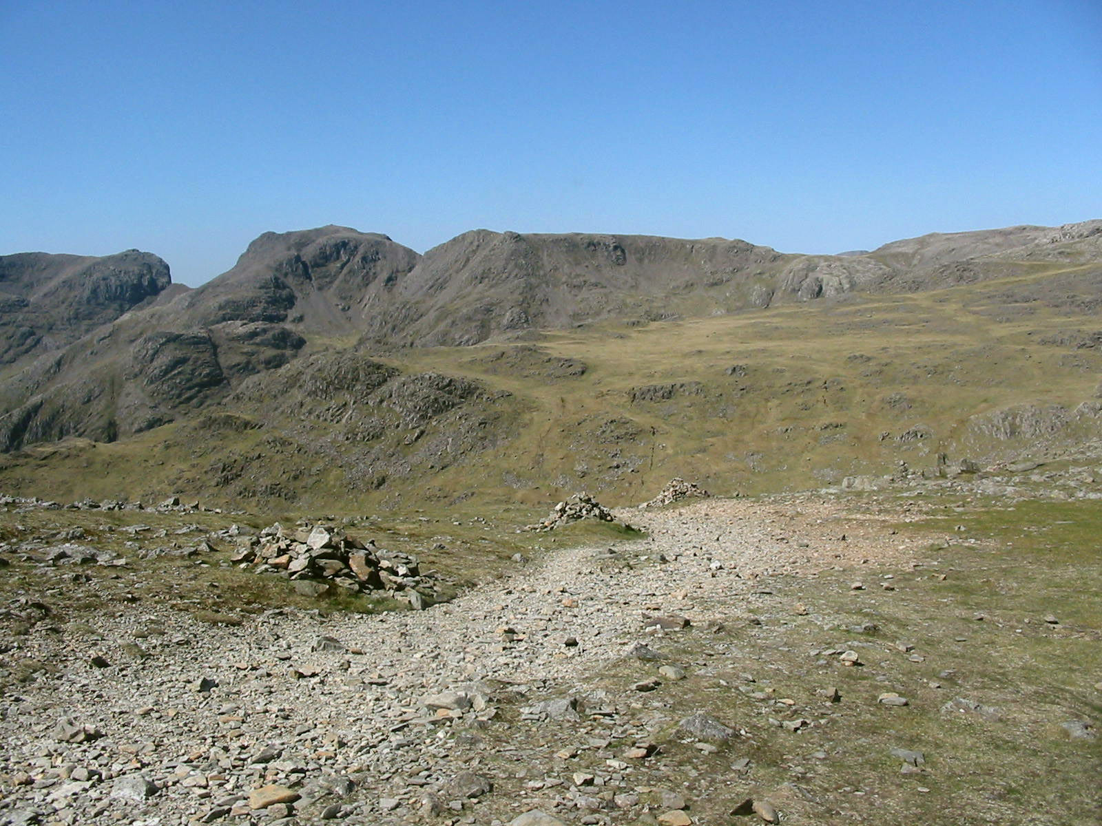
Descending to Ore Gap, with Esk Pike beyond.

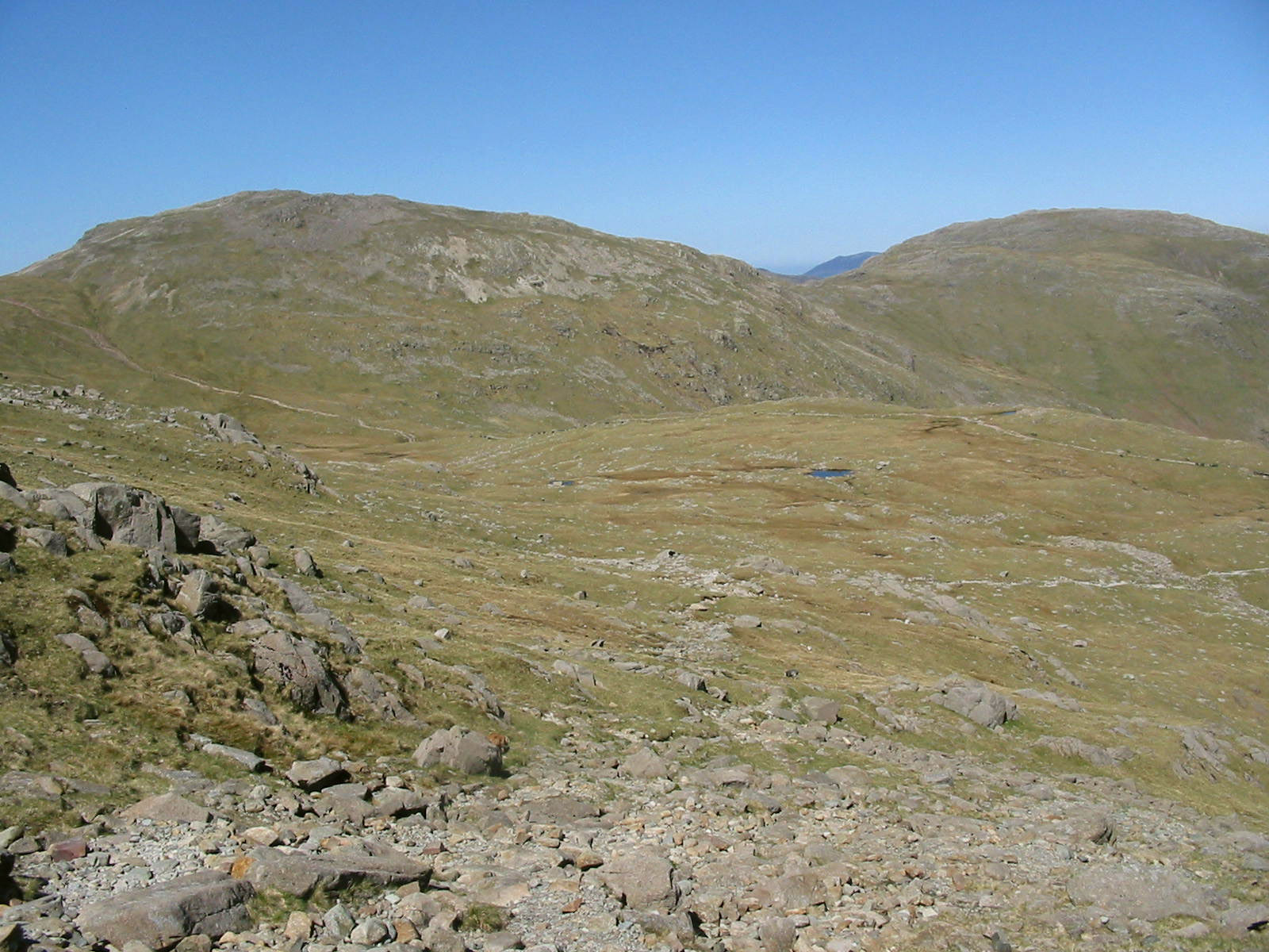
From Ore Gap we continue the descent towards Angle Tarn, and here look towards
Allen Crags and Glaramara, with Grasmoor showing through the gap.

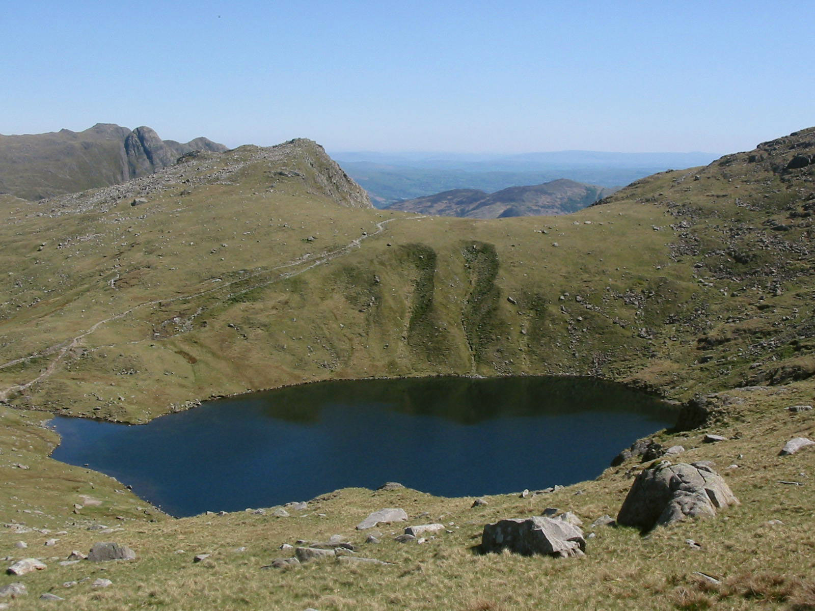
Looking down on Angle Tarn, with the path back up to Rossett Pass from where
Rossett Pike is an easy stroll. We had a good rest at Angle Tarn, where George's
sore pads were bathed - after that, a rest and some food, he perked up greatly.

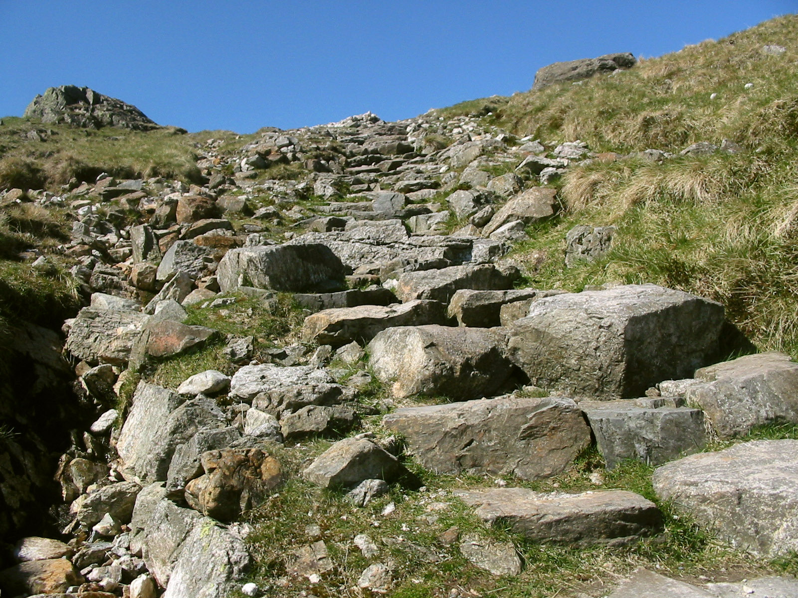
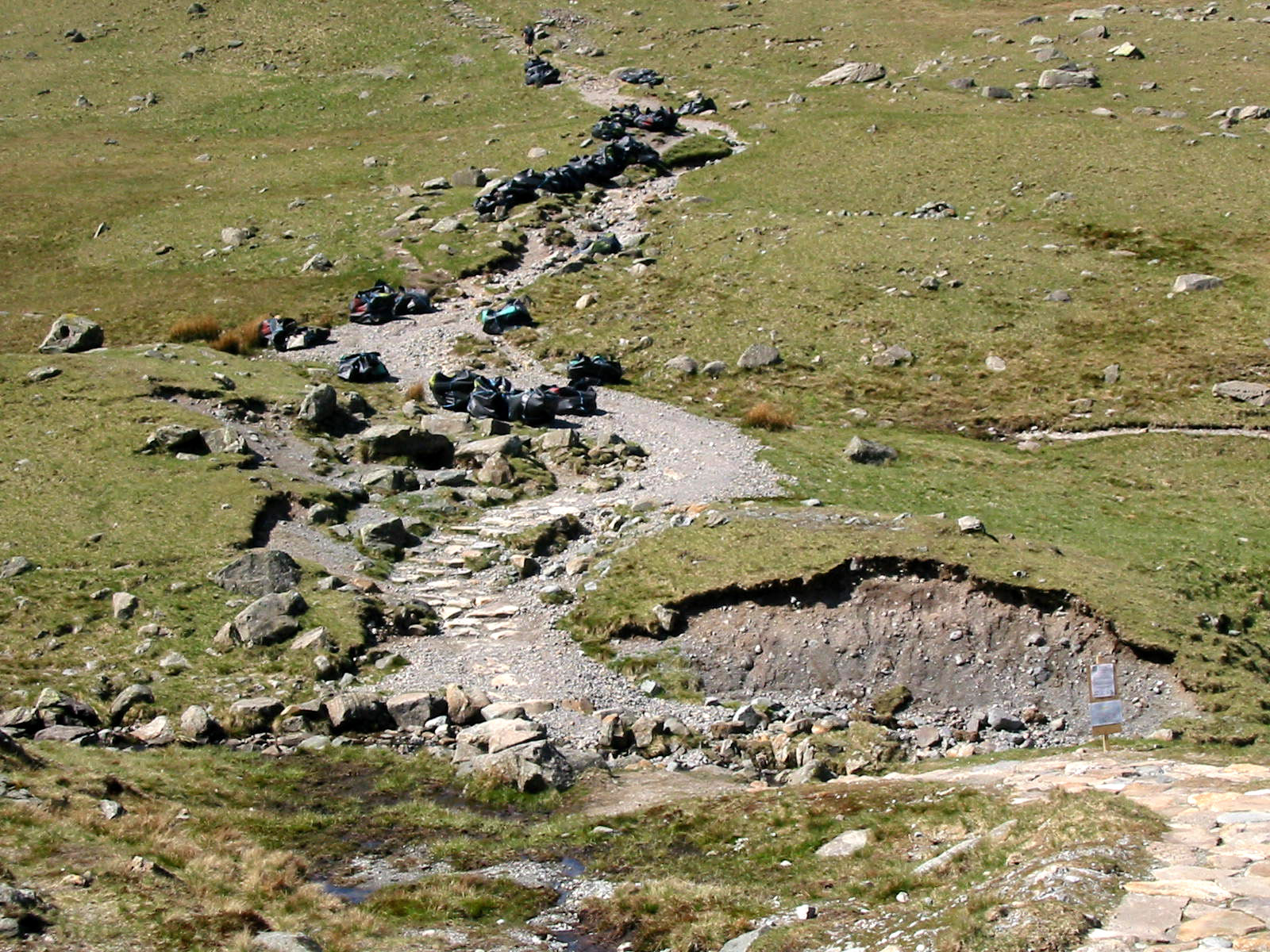
Climbing away from Angletarn Gill, we can see bits of newly built footpath and
the black bags of stone that have been brought in by the helicopter we saw
earlier.
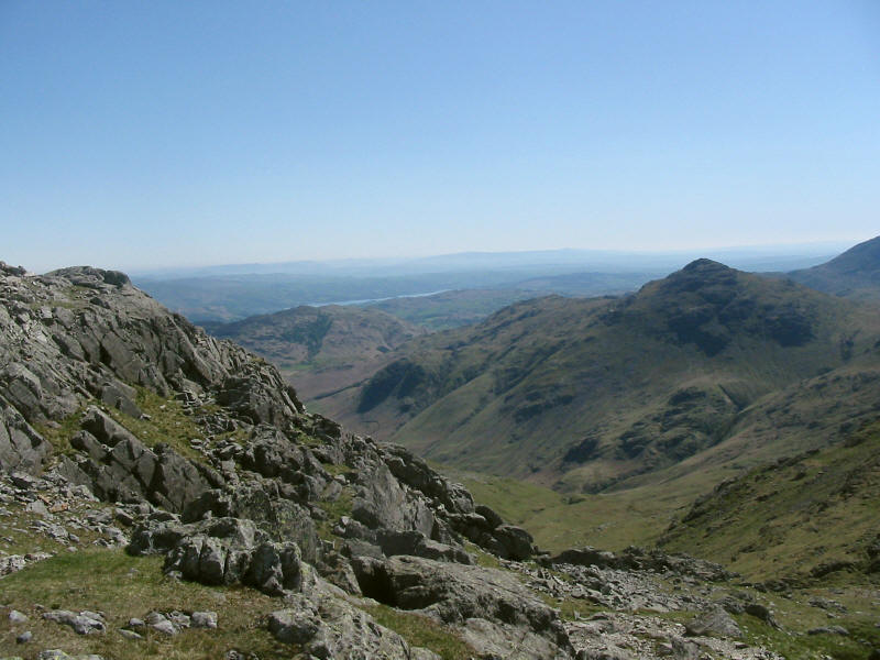
From Rossett Pike, a look down into Mickleden, pointing at Lingmoor Fell.

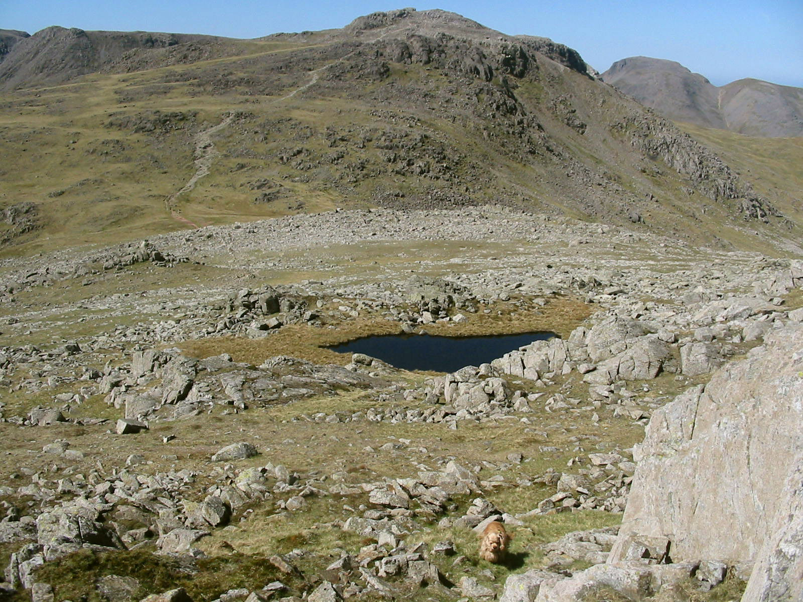
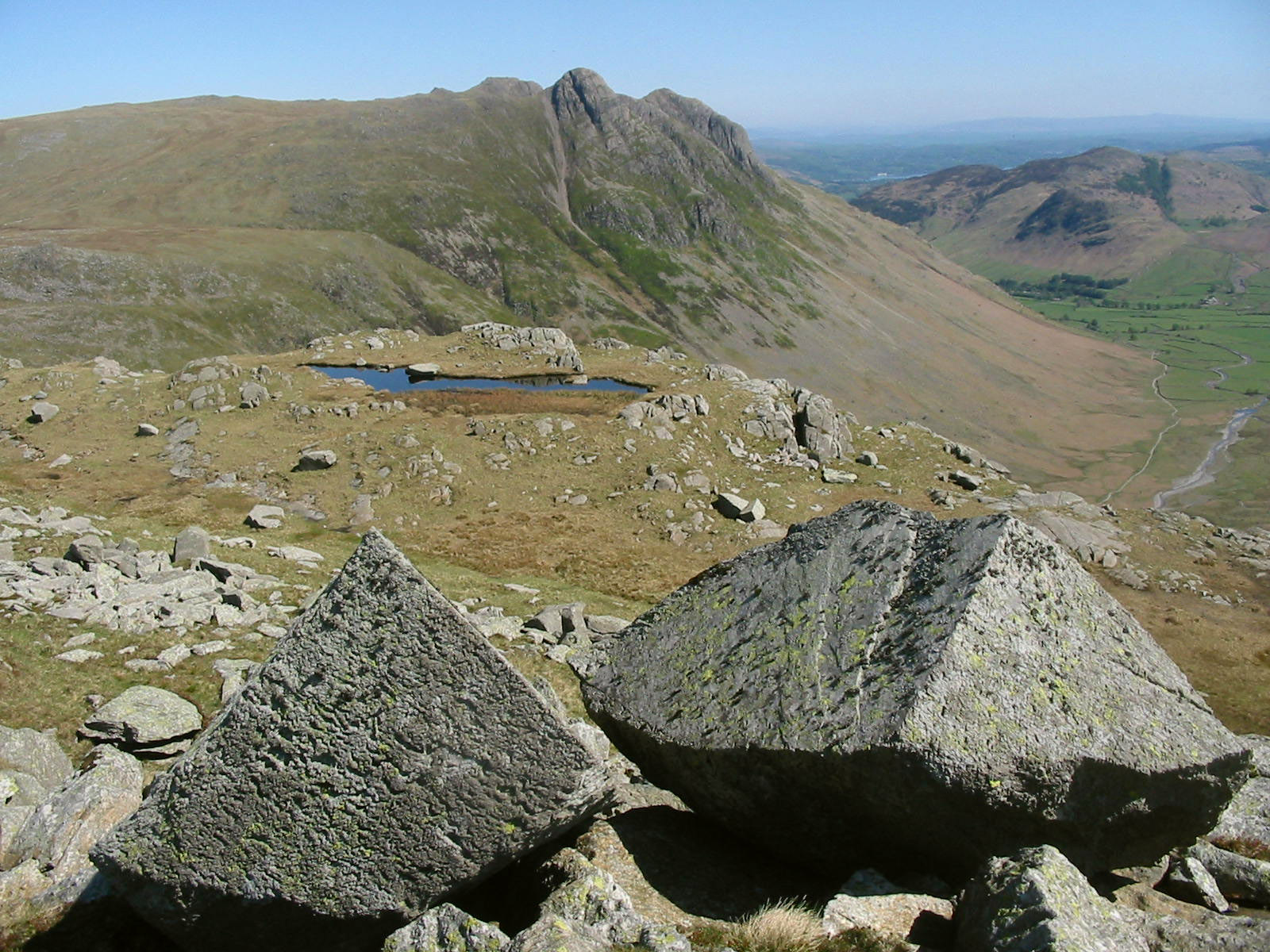
From the summit of Buck Pike, a small tarn sits in front of a steep drop into
Mickleden...
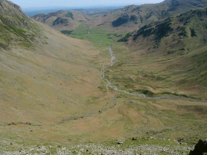
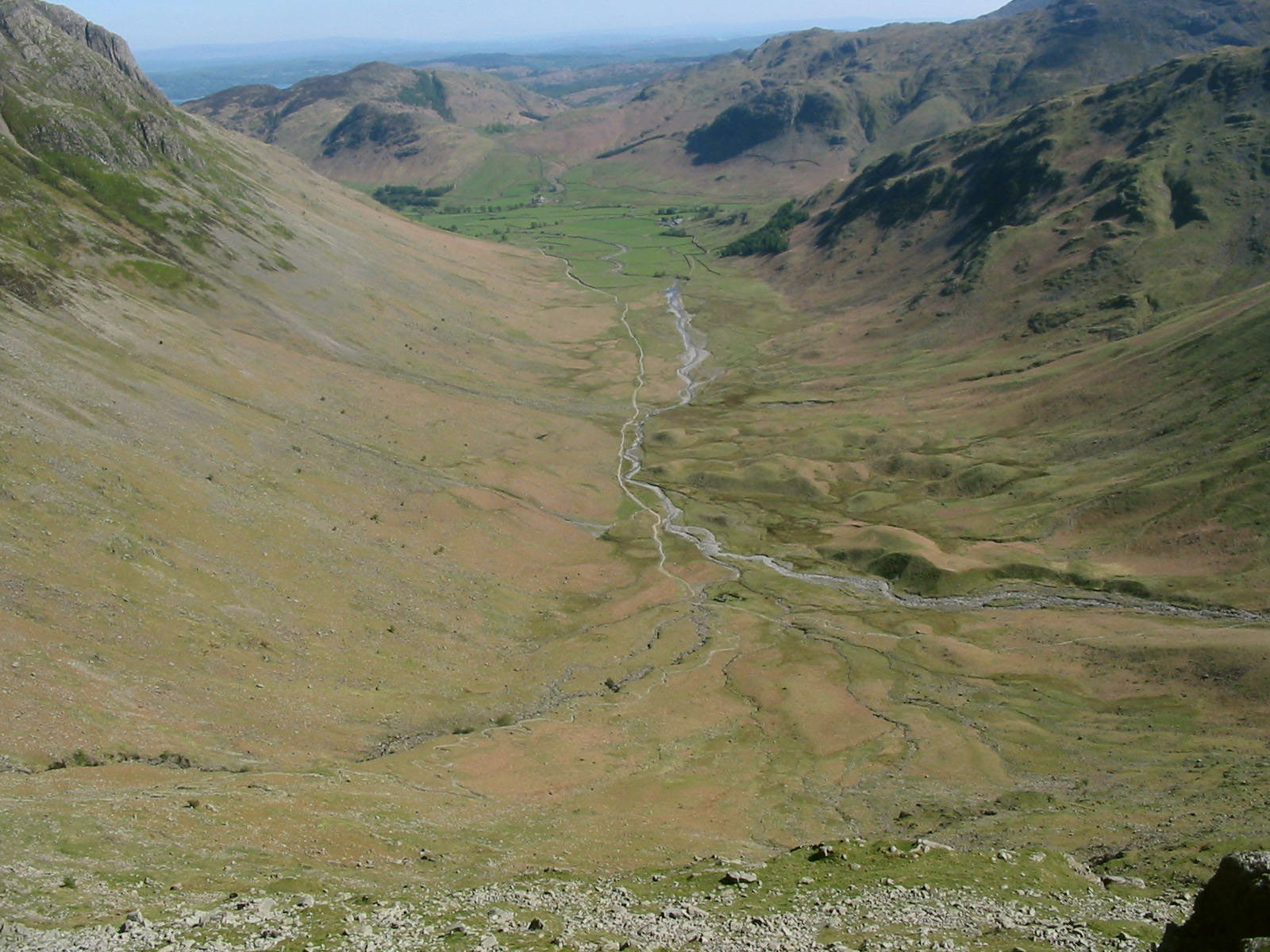
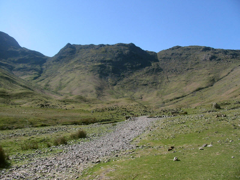
The view from the top of Black Crag into the deep glacial valley of Mickleden
with the many moraines clearly visible.

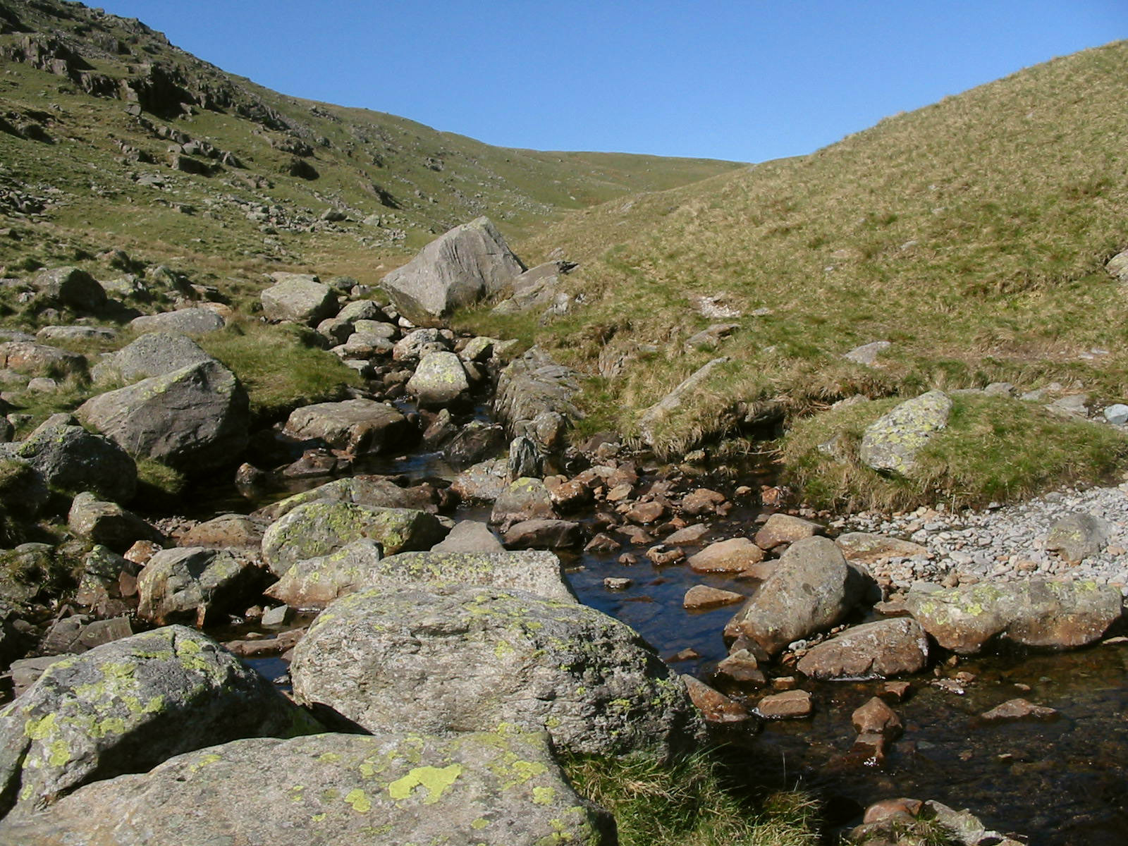
From near the summit of Black Crags, the Ordnance Survey marks a path down to
Stake Gill. After much messing about trying to locate it, I decided to strike
off in the direction indicated by the GPS, which looked moderately promising as
a way down. It was a steep descent, and there was from time to time evidence of
a small trod and some cairns, but a clear path it was not - far, far less
distinct than many paths that the OS fail completely to mark on its maps.
Nevertheless, we safely reached Stake Gill here and had our final rest of the
day before making the final descent into Mickleden.
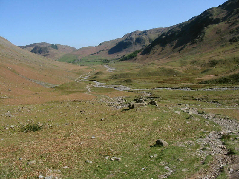
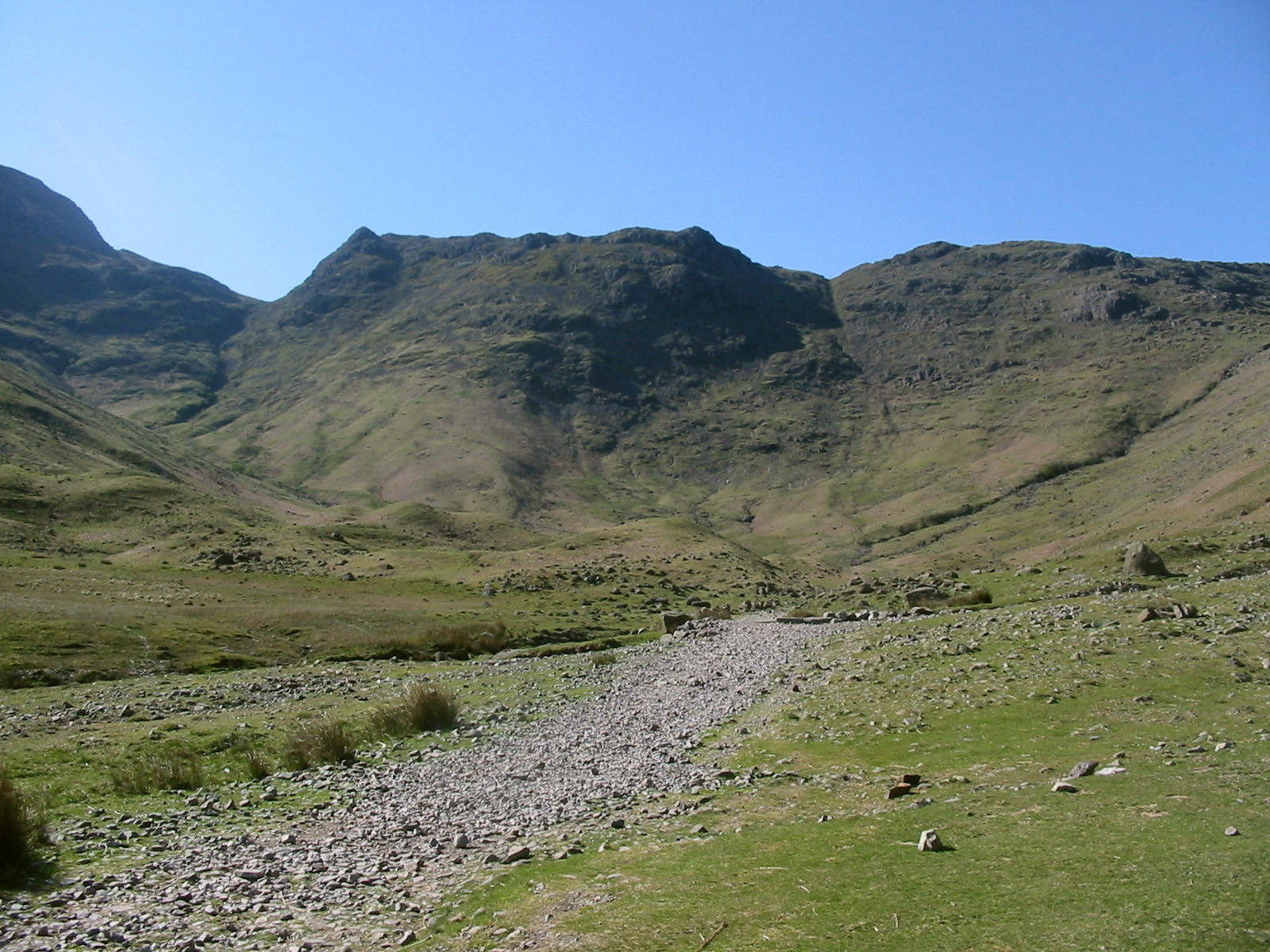
As the Stake Pass route begins to level out after its many zigzags, a plod
along the flat valley bottom awaits us. But what scenery to accompany that
"plod"!. George's feet were again troubling him, though, and the unrelenting
sharp stones of the remaining three kilometres were clearly uncomfortable for
him.
As we continue along the valley floor, a look back at Rossett Pike (the last
peak on the left before the plunge into Rossett Pass) and the rest of the ridge
walk with Stake Gill coming down on the right.
A wonderful walk on a great day. The GPS recorded a total distance of 15.8km and
933 metres of ascent, taking a total of 7 hours 51 minutes,
of which 2 hours 58 minutes was stationary.
Lake District holiday, April/May 2007
|
The holiday continues in Yorkshire...
|