Wetherlam and Black Sails
4 May 2008
After a morning visit to the Aquarium of the Lakes and lunch at the Lakeside and
Haverthwaite Railway, a mid-afternoon start was made on a walk in the hope and
half expectation that the very gentle rain would soon stop. It didn't!
Stephen last climbed Wetherlam in 2002 on a circuit from Little Langdale via
Great Carrs and Swirl How; this time the start was made from Tilberthwaite and
the ascent via Steel Edge, a route
described by Sean McMahon on Stridingedge.net but oddly not mentioned by
Wainwright. Today's route to Wetherlam was extended to Black Sails which
hadn't been visited last time.
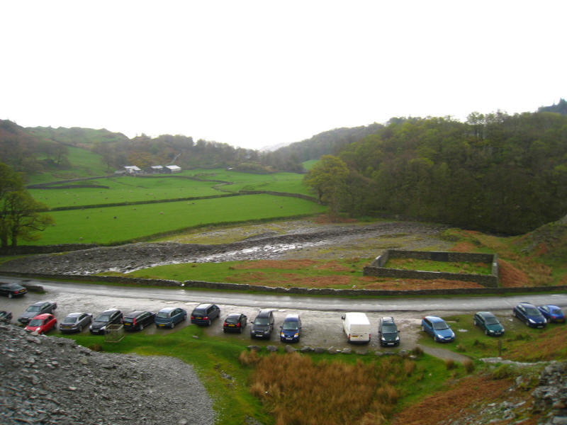
An array of cars at Tilberthwaite shows that there are quite a few people about.
By the time we returned, ours was the only car there.
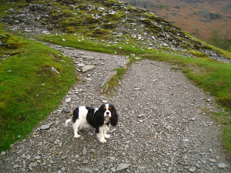
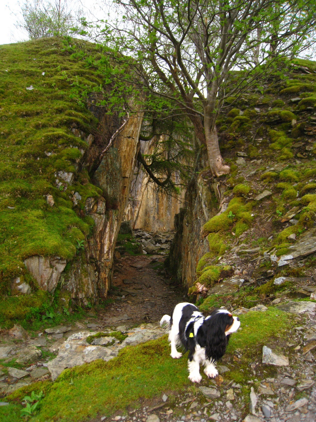
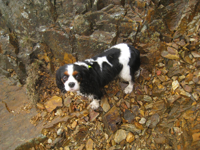
A dry Ellie as we ascend past the quarries.
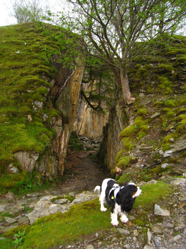
Ellie by the opening to one of the old quarries
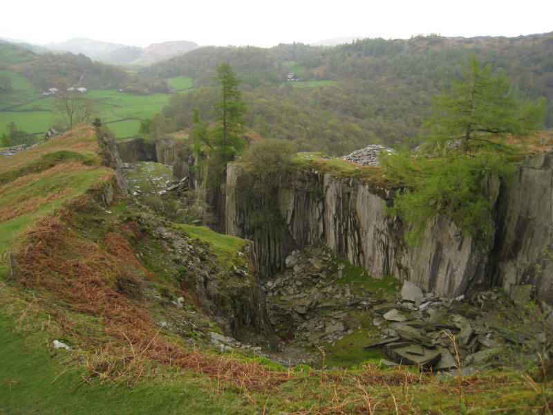
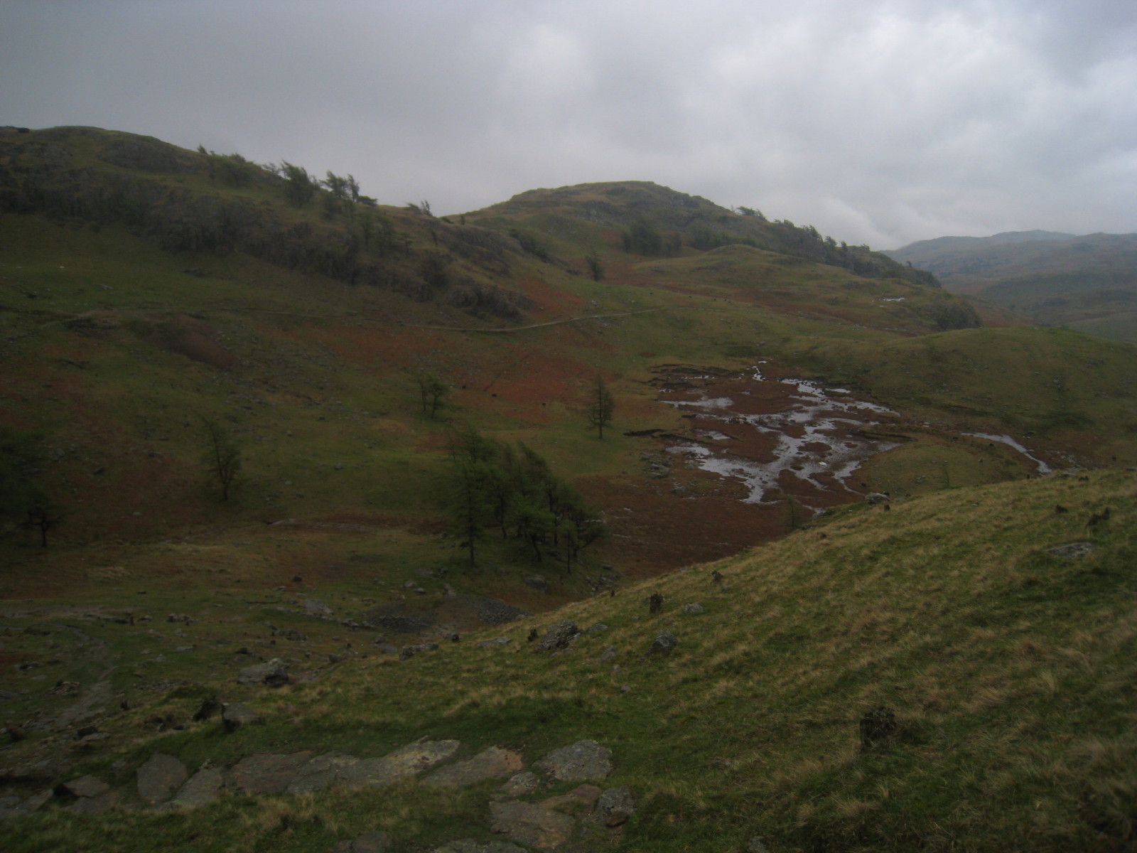
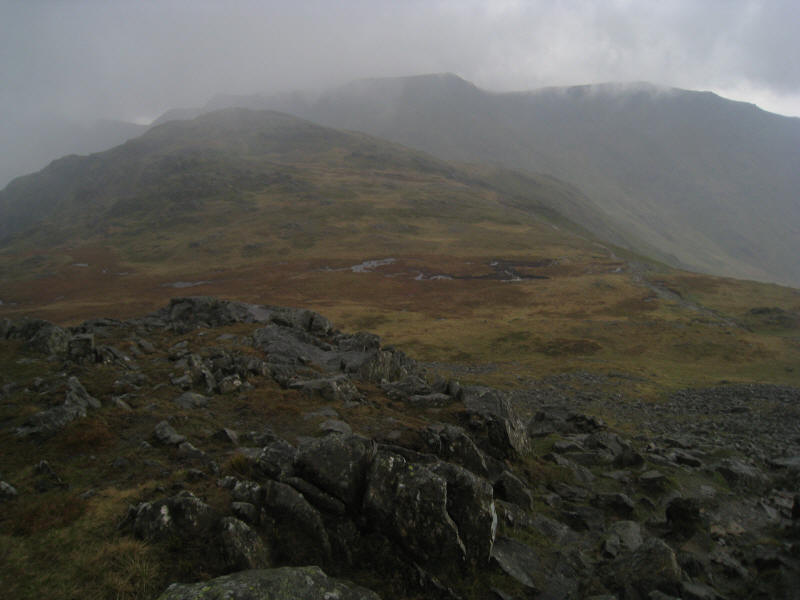
The top of Wetherlam is disappearing into the clouds, but Steel Edge can be seen
running across the photo from right to left, initially a gentle gradient then
steepening as it rises to the Lad Hows ridge. Below, the gorge of Yewdale Beck
is very impressive.
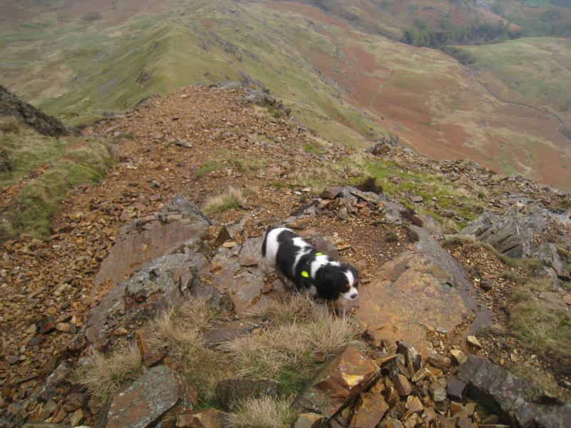
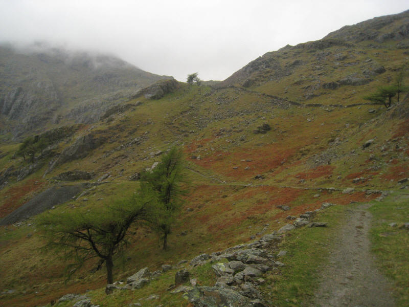
Ascending the grassy bit of Steel Edge, heading towards the rather imposing
looking rocky section
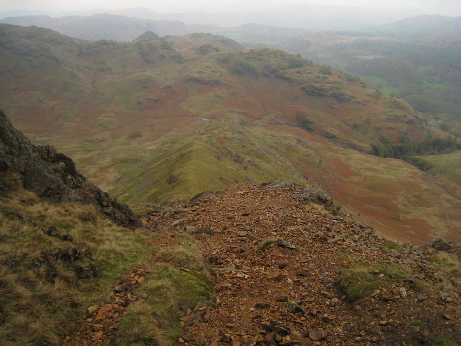
Looking down Steel Edge, with Blake Rigg beyond Tilberthwaite Gill
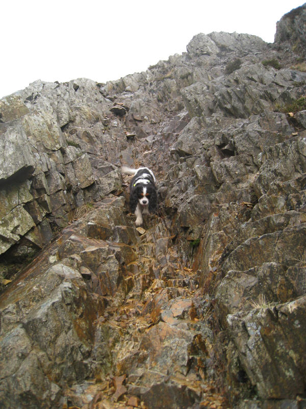
Ellie looks a bit uncertain as the route becomes more challenging for someone
with such short legs
Ellie bringing up the rear, her accustomed position
Ellie comes back to get me, descending this slippery 45° slope
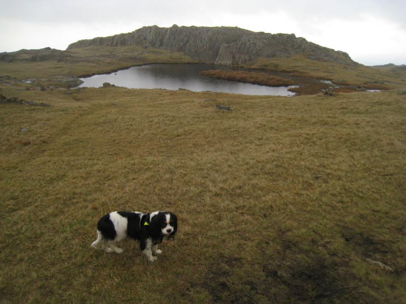
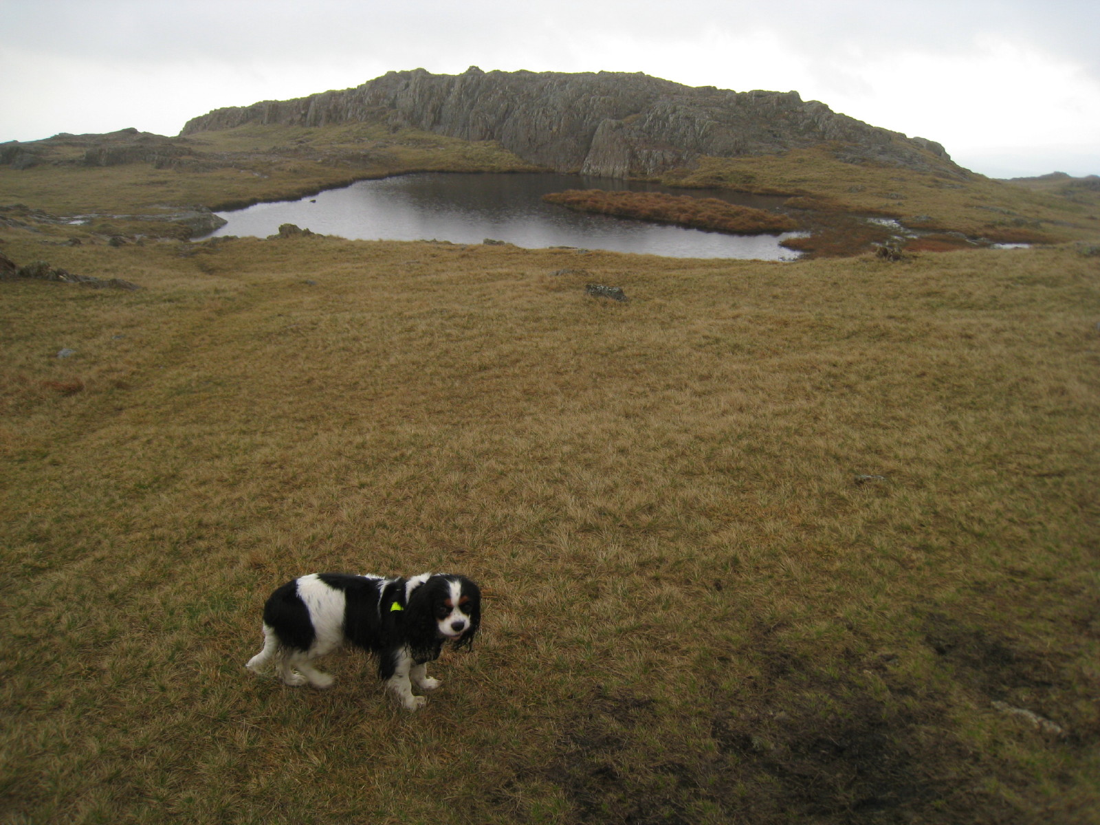
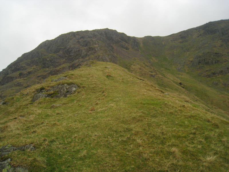
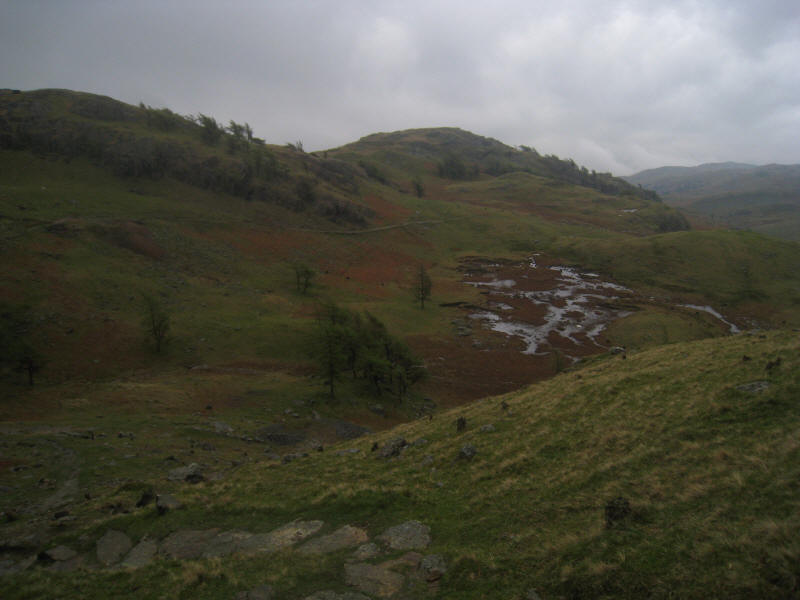
Safely on grass again, looking to a tarn on top of the Lad Stones ridge
After a quick visit to the summit of Wetherlam, it is time for a diversion to
the lesser known top of Black Sails, which lies a little way off the route
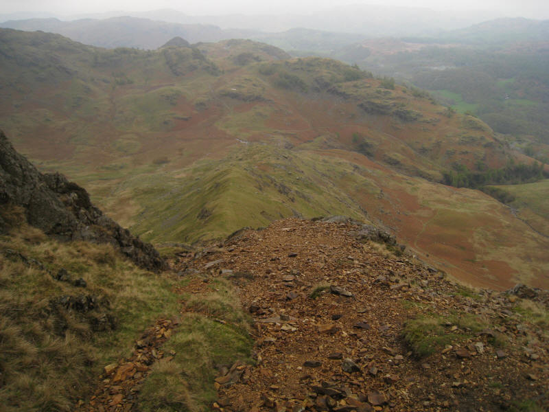
between Wetherlam and Swirl How. A brief lifting of the cloud - the only time
all afternoon - shows Black Sails centre-left, with Swirl How behind it, and the
main path running along on the right. After this the weather worsened, with the
cloud coming down and becoming much thicker, the rain falling heavily and the
wind intensifying.

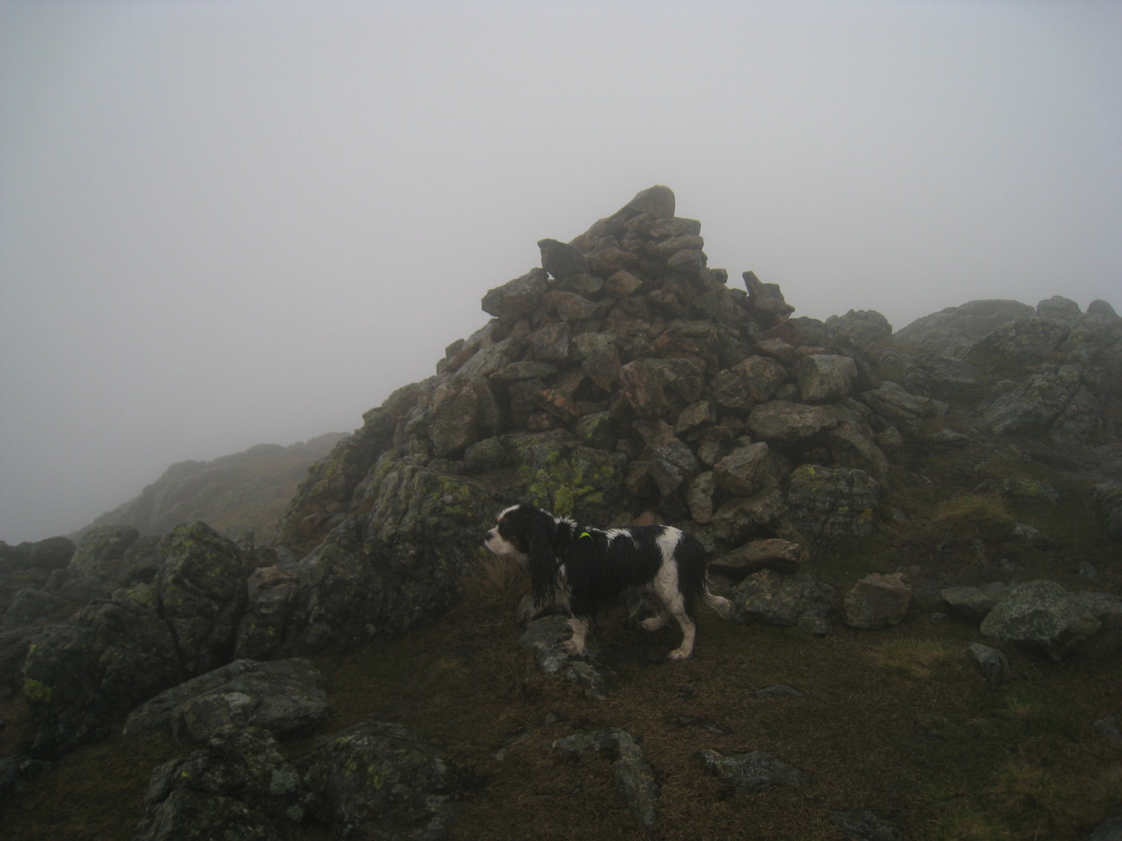
Ellie on the summit of Black Sails
After a thoroughly unpleasant descent of Wetherlam Edge, which was hard work in
the rain with lots of slippery rock steps to descend, we have left the clouds
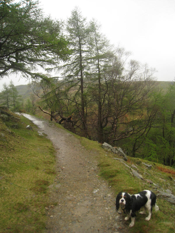
and making our way along the miners track on the north side of Tilberthwaite
Gill
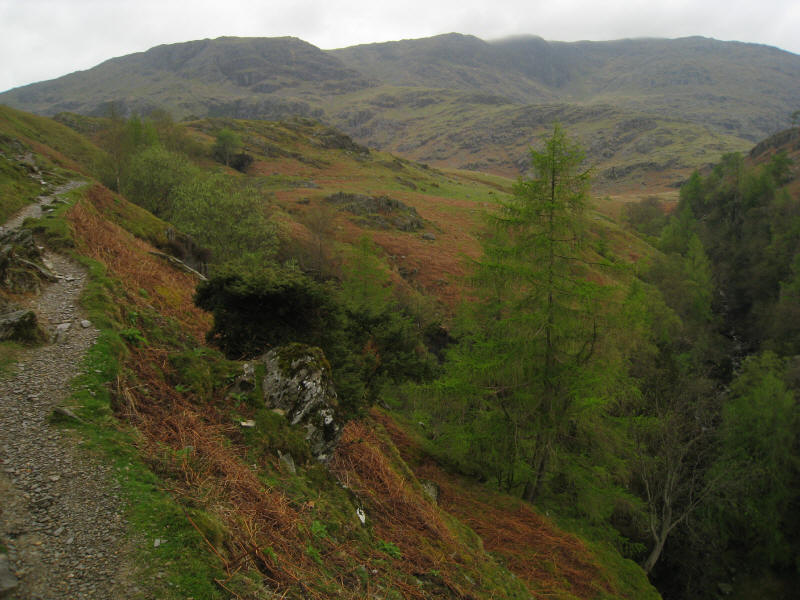
A backwards view from the miners track
A damp Ellie as we turn to the east and continue the descent on the now easy
path
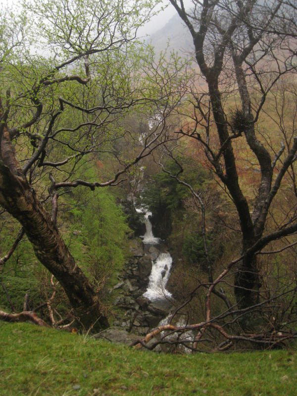
Across the gorge of Tilberthwaite Gill, the waters of Crook Beck descend
attractively.
Zoom in for more detail, or see map in larger window: Ordnance Survey |
Open Street Map |
Google Maps
Total distance 8.1 km with 740 m of ascent in 3 hours and 35 minutes
Lake District holiday, May 2008
|
|