Lake District: Beda Fell, Latrigg and Raven Crag (almost)
2-4 March 2012
A meeting in Penrith on a Thursday gave me the
opportunity for a few days in the Lake District, unfortunately marred by
arriving with a virus which left me very tired. Nevertheless, on the
Friday afternoon the weather was good so I decided after 15 hours in bed
to go for a walk, deliberately planned with several "escape routes"
depending on how I got on. As it turned out, though my progress was a
little slower than normal, I didn't have any great problems, but did
finish rather more tired than would be expected for a relatively modest
walk.
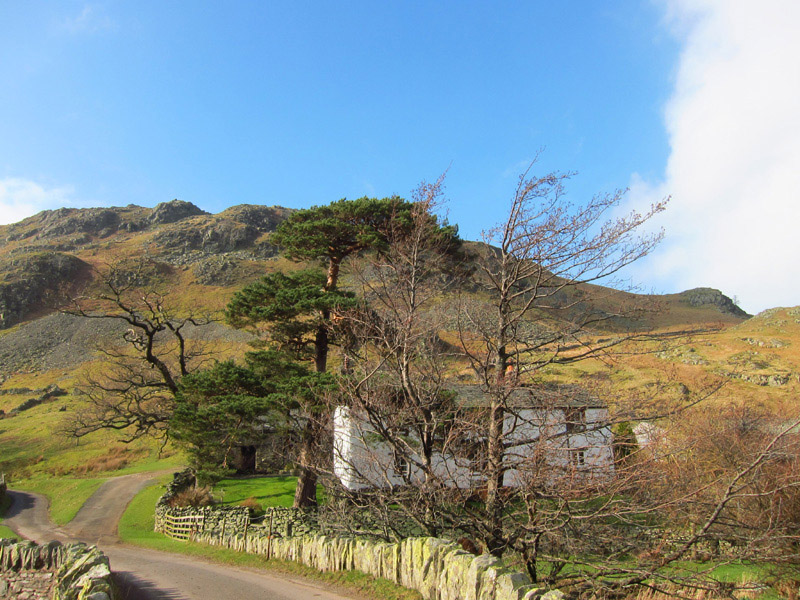
Parking at the old church in Martindale, Winter Crag farm nestles
beneath its eponymous crag, my first target on my way to Beda Head
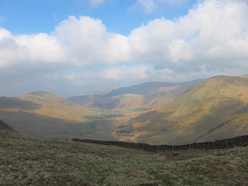
Starting to gain a little height, a look up the valley of Rampsgill
Beck. Unseen in the mist and sunglare, The Nab divides the valley.
Having gained the ridge, I can now look over into Boredale and down to
Ullswater
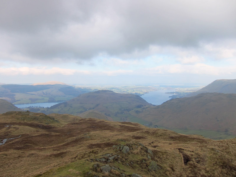
From Beda Head, Hallin Fell splits the view of two parts of Ullswater
Having crossed over Bead Head, the ridge continues to provide a
high-level route, but with the opportunity to escape back into the
valley if I needed to.
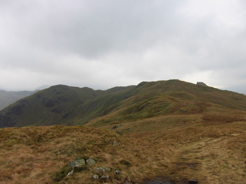
On the right, one of the summits of Angletarn Pikes appears, my next
objective
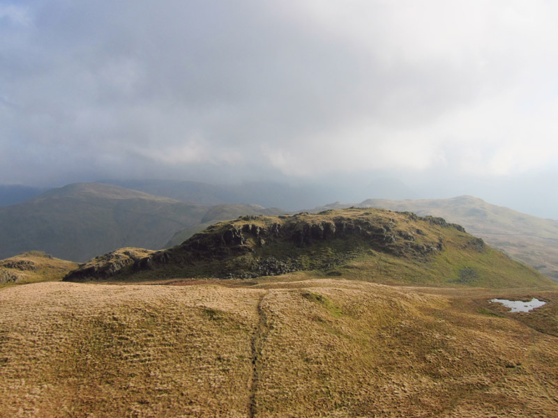
From the high point of Angletarn Pikes, a look to the south-east summit
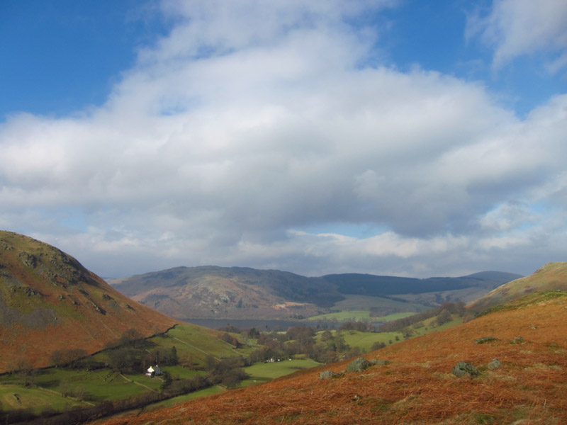
Brotherswater from the high point
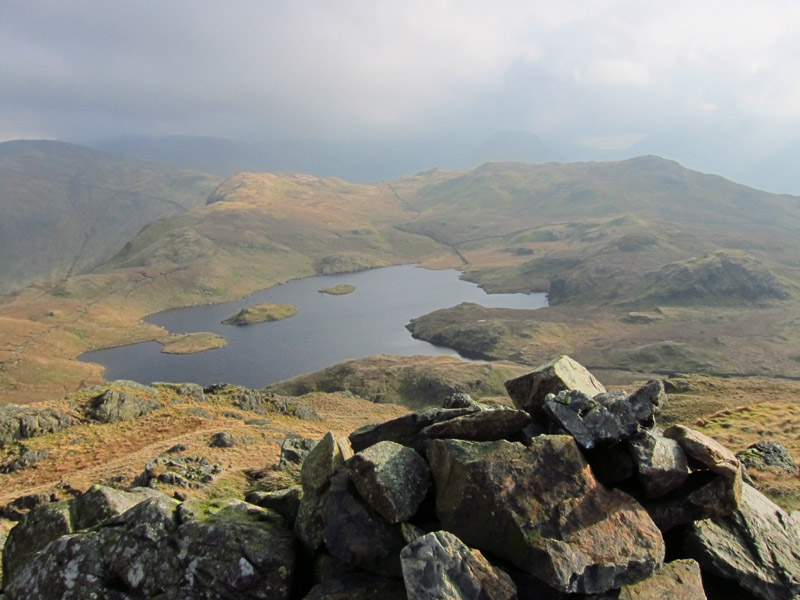
From the south-east summit, a lovely view of Angle Tarn. It was dense
fog when I was last here, so although it was a bit hazy, it was a big
improvement and I was glad I'd continued along the ridge. My route was
down to the tarn and after a short way along the left side, to turn left
and down into the valley
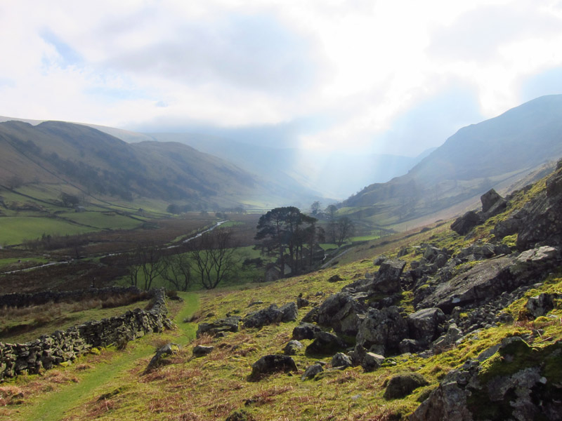
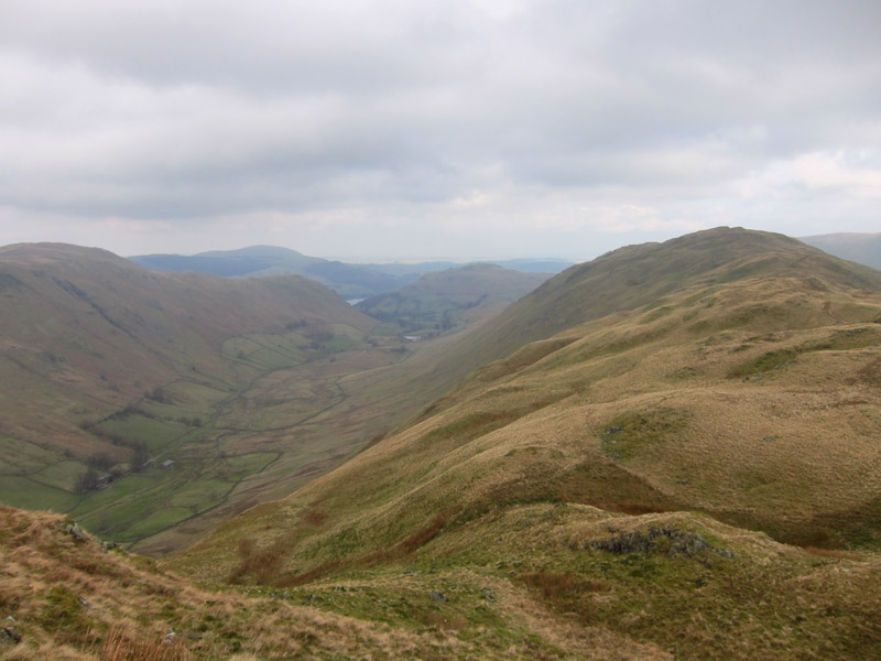
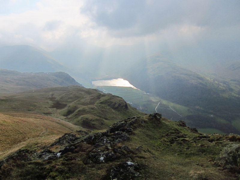
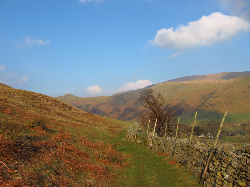
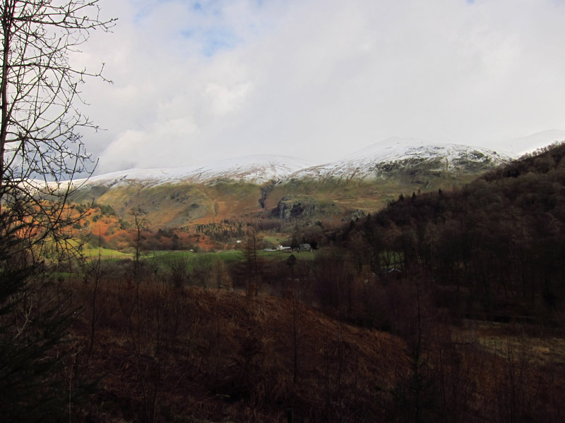
Just after leaving Angle Tarn, there is a great view down Bannerdale
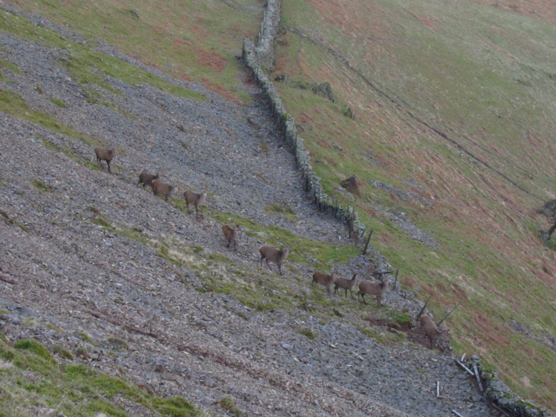
Some of the deer from the Martindale deer forest
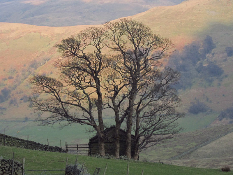
Approaching the valley bottom, these trees and barn caught my eye
The weather was so pleasant that it became a long-sleeved t-shirt walk,
the fleece consigned to the rucksack, simply wonderful for early March.
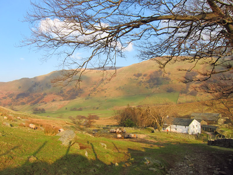
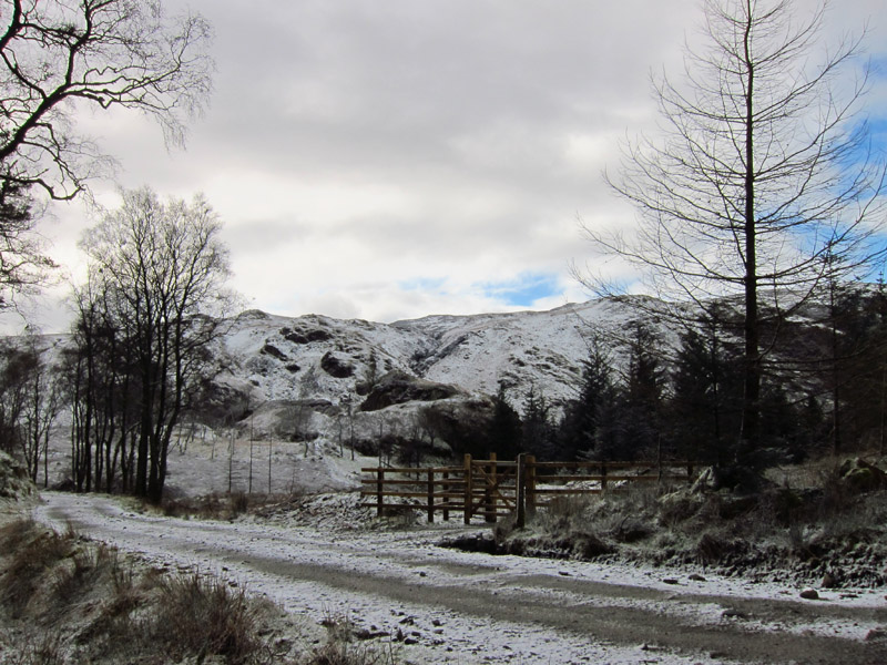
Dale Head farm, where I picked up the road for the remainder of the walk
back to the old church.
Zoom in for more detail, or see map in larger window: Ordnance Survey |
Open Street Map |
Google Maps
Total walk: 11.6 km with about 630 metres of ascent in 4 hours 12 mins.
4 March 2012 - Latrigg
After a quiet day on Saturday with even more time in bed, I planned a couple of
short walks for Sunday. The first was Latrigg, above Keswick. The forecast had
the cloud breaking and lifting, so I had a late start too.
After parking at the top of the fell road, I took the bridleway around Latrigg,
with tantalising glimpses of snow-capped hills hiding in the clouds
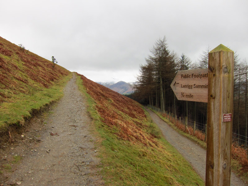
After a short way, a footpath leaves the bridleway and zigzags up the hillside
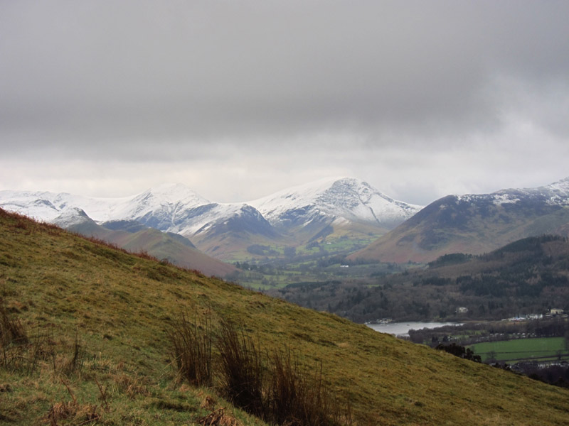
The cloud lifted from time to time, showing the beautiful north-western fells
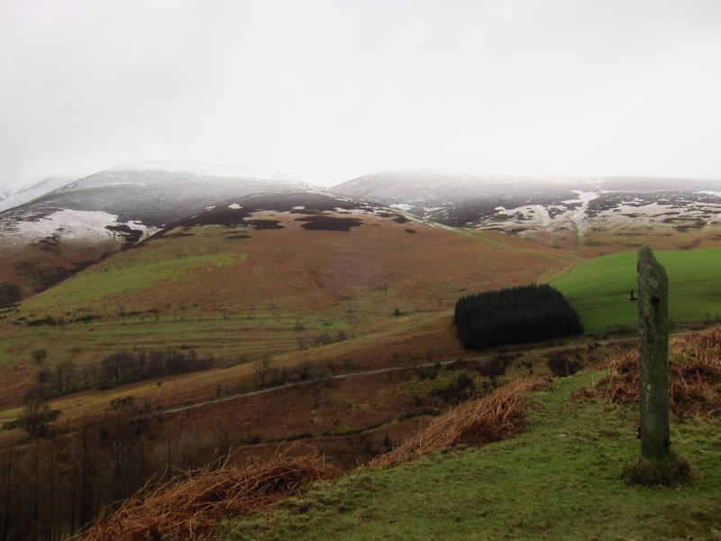
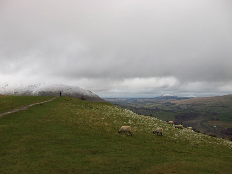
Looking back to the lower slopes of Skiddaw
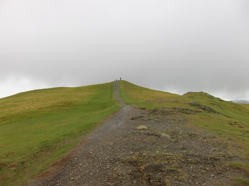
Ahead, the summit of Latrigg. Perhaps the easiest summit to gain from a road in
the Lake District

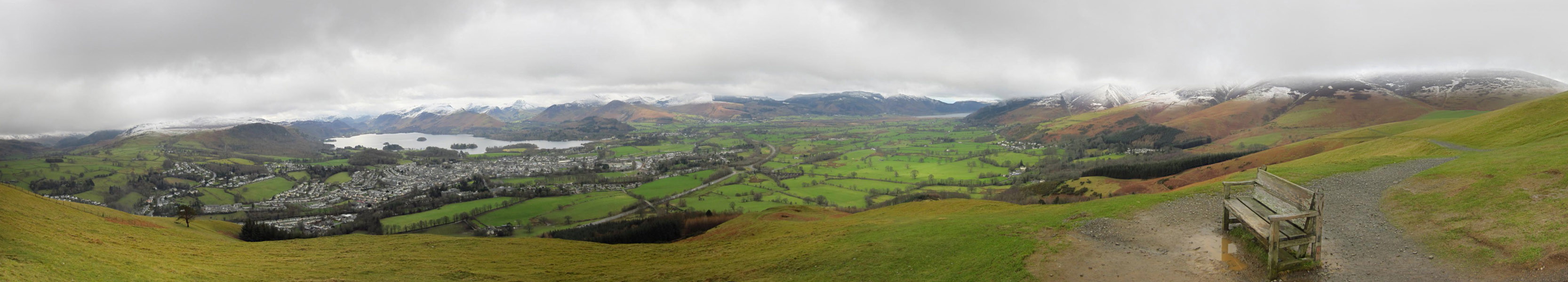
But some glorious views of fells and Derwentwater
Continuing along the top of the summit
Another look at Skiddaw before making a slippery descent to the track which runs
east from Latrigg and a return to the car
Zoom in for more detail, or see map in larger window: Ordnance Survey |
Open Street Map |
Google Maps
Total walk: 3.0 km and 122 metres of ascent in less than an hour.
Raven Crag (almost)
The second planned walk was to the summit of Raven Crag at the foot of Thirlmere.
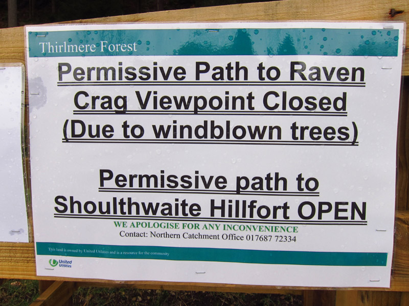
Having paid to park the car, a short distance later I found this notice. I
suppose I should be grateful that the notice was there at all, but could it not
have been in the car park too?
I decided that as I'd paid to park, i would have a walk up the hill to see what
it looked like, and whether the notice was unduly alarmist.
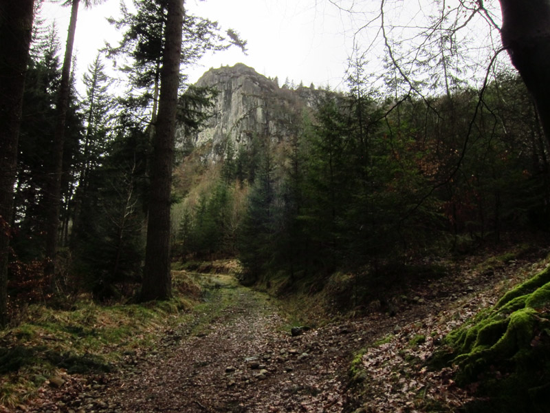
Making my way up the forest track, Raven Crag comes into view.
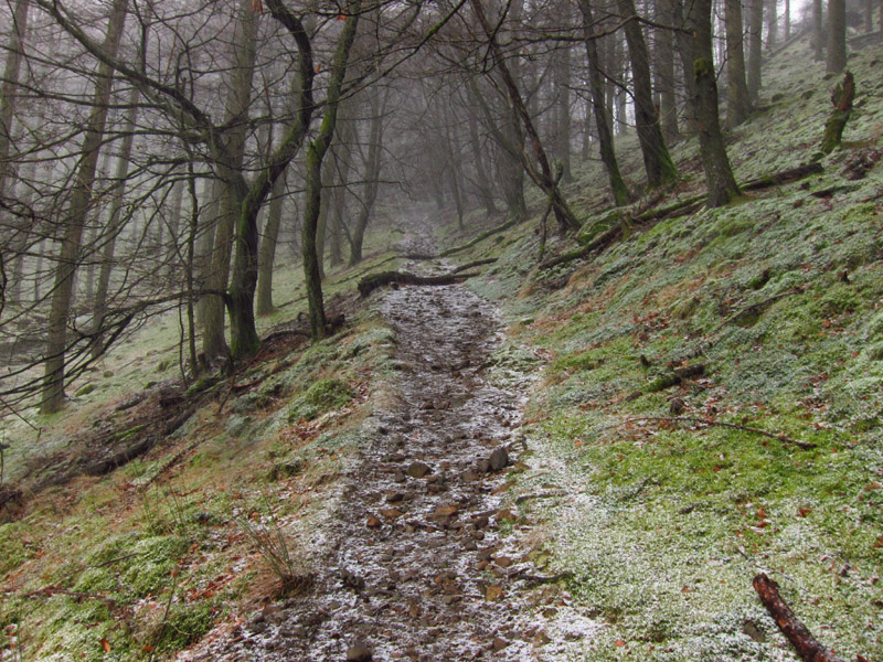
It then started first to hail, and then to snow
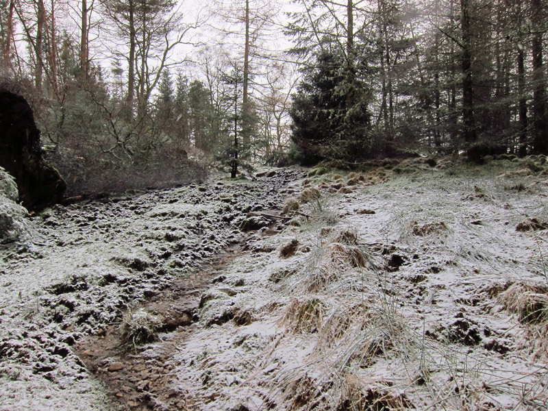
The world gradually got whiter, but with my spikes on my boots I had no
difficulties underfoot.
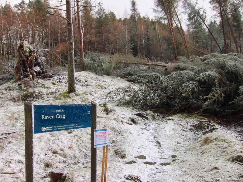
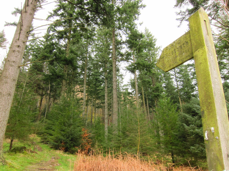
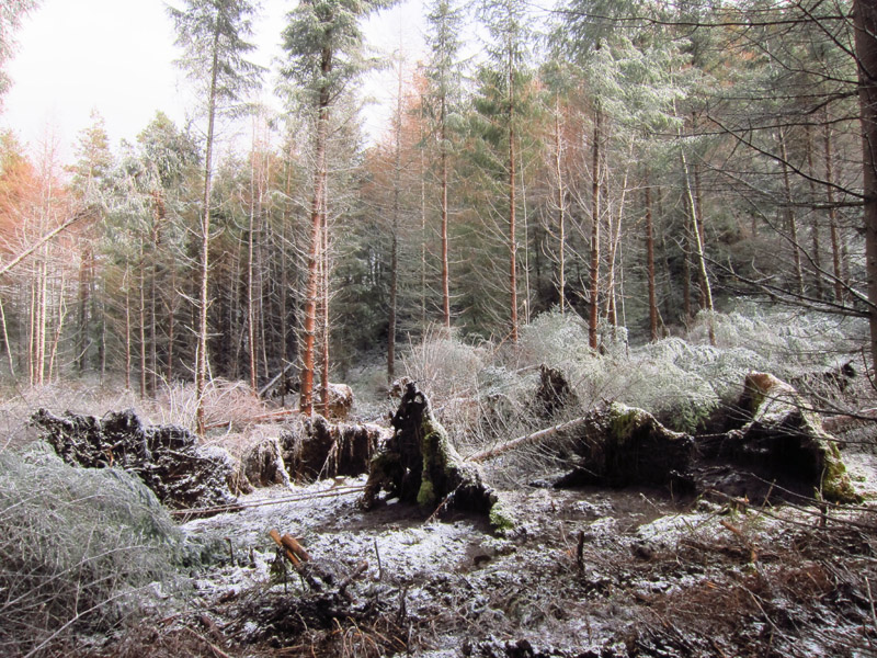
Here the permissive path leaves the forest tracks, and is definitely blocked by
quite a few fallen trees.
In the other direction, the path to Shoulthwaite Hillfort is open
But I had a couple of goes at finding a way around, but, particularly being not
at 100% fitness, and the ground very wet after rain and snow, I gave up on each
side of the original route, and will have to come back when the conditions are
better.
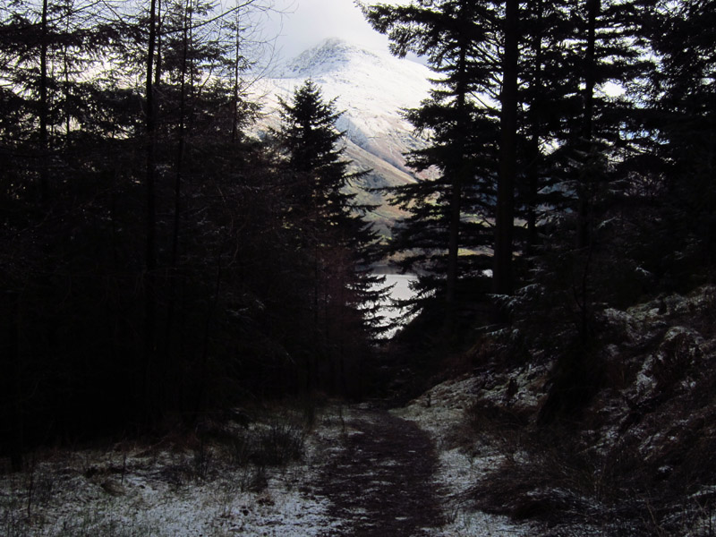
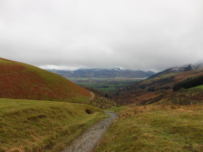
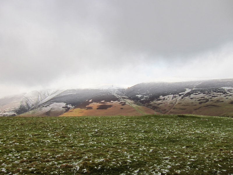
As I descend, there is a view ahead to Helvellyn
Back at the road, Castle Rock is sitting below snowy Calfhow Pike and Great Dodd
Total distance 2.5 km and 230 metres of ascent in 1 hours 30 mins
|