Angles Way 7: Homersfield to Earsham
10 March 2012
After saying goodbye to one visiting friend on a Saturday morning, there was a
little gap before the next visiting friend arrived in the afternoon, just time
to nip up to Norfolk for another walk on the Angles Way. Although I'd originally
planned stage 5 to take me on to Ditchingham, the shortage of time today meant
that I cut stage 5 short, and have extended stage 6 which will still take me to
Beccles, ready for the last three stages for which I will use the train. But
today was another bus day, the 1132 taking me from Earsham back to the road
between Wortwell and Homersfield, from where a short walk took me back to the
Angles Way.
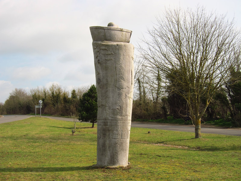
Leaving Homersfield, there is this very unusual village sign, carved in 2000 out
of an oak tree. Apparently it is known locally as the Totem Pole
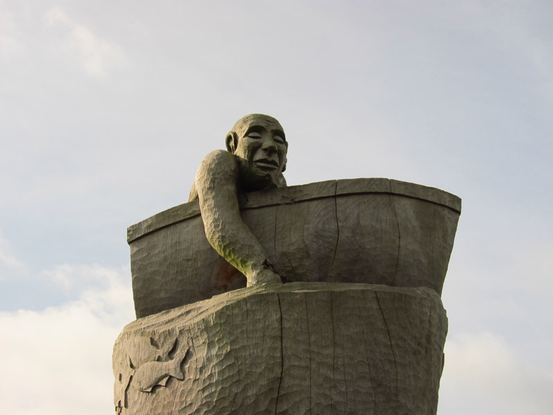
The top of the Totem Pole
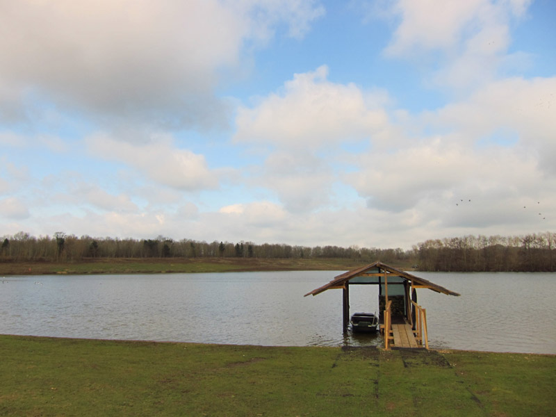
Walking around one of the flooded gravel pits of Flixton Park
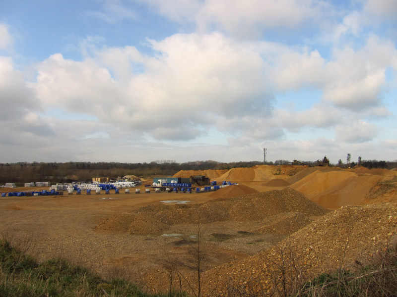
A lot of quarrying is still going on
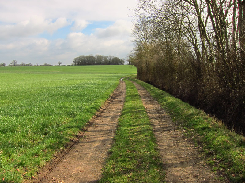
Turning away from the quarry, most of the rest of the walk is along tracks
across farmland
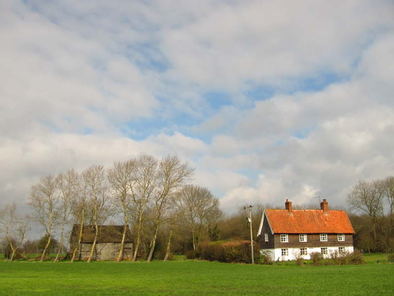
The attractive Shingle House and barn
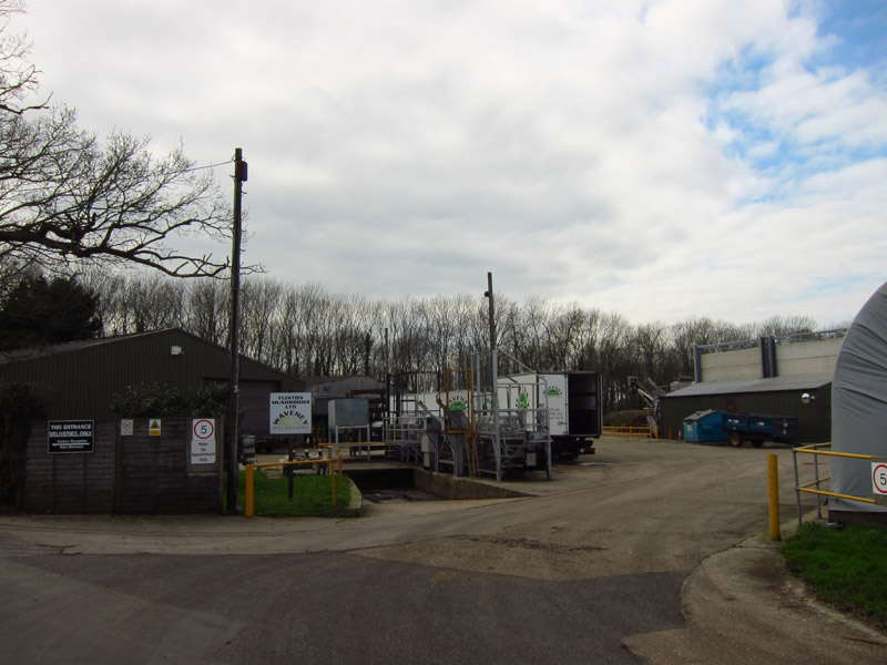
Flixton Mushrooms Ltd produced an interesting aroma
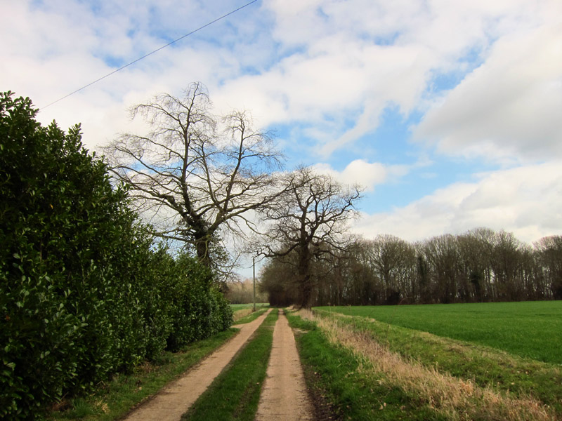
Another track continues my route
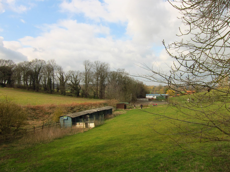
The path diverts around a field with a few horses. Are those old railway
carriages?
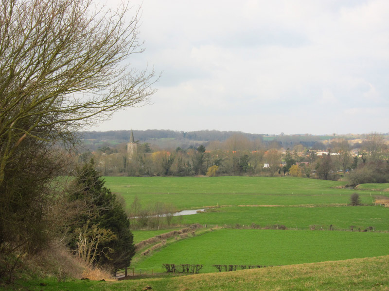
Looking across Broad Water to Earsham, journey's end for today
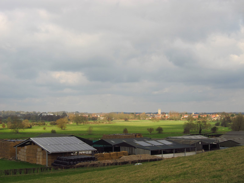
From the same point looking across the flood plain of the Waveney to Bungay,
with a well solar-panelled farm.
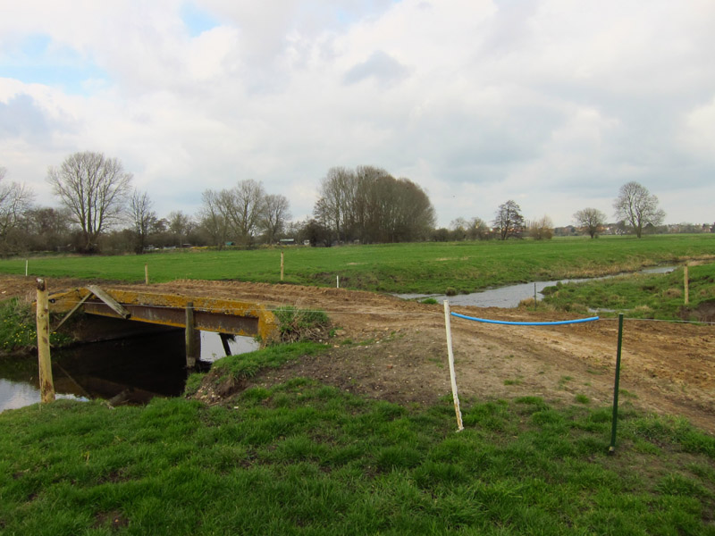
A bridge takes the route over Broad Water, an alternative route for part of the
Waveney's waters. The bit of blue plastic tubing makes stepping over the wire
fence a little easier.
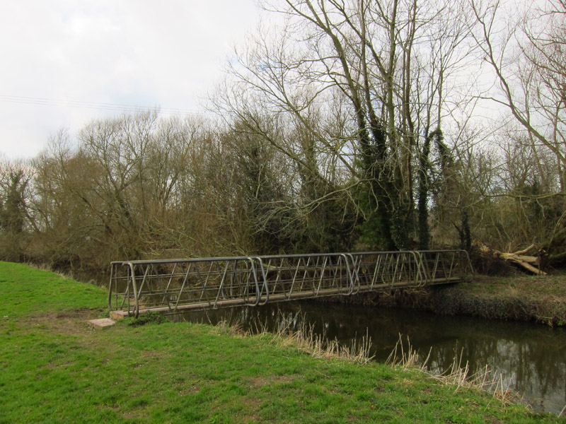
A footbridge takes me across one of the Waveney's channels hereabouts
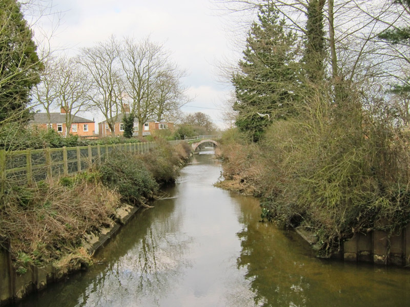
The cut running from Earsham Mill. Although the Waveney Navigation only reached
Bungay, I wonder whether this long artificial cut was linked to navigation,
bypassing a lot of meanders nearer Bungay and perhaps enabling craft to reach
the mill.
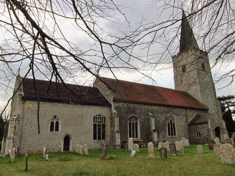
The church of All Saints in Earsham, unusual in East Anglia in having a spire,
added to the 14th century tower.

A wildly inaccurate signpost - it is 10.25 miles to Harleston and 10.8 miles to
Beccles via the Angles Way from this point.
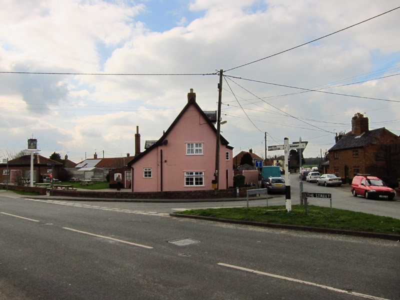
The Street in Earsham and the end of today's walk.
Total walk was 10.9 km in 2 hours 31 mins (including 10.4 km along the Angles Way).


|