Lake District: Whiteside, Hopegill Head, Sand Hill and
Grisedale Pike
28 September 2012
Our second day in the Lake District was another where the
forecast predicted a decent chance that the cloud would break or at least be
intermittent. Today we travelled to the north-west, when we arrived being one of
only three cars in the car park by Lanthwaite Green Farm at the northern end of
Crummock Water.
The start of the walk, heading towards Whiteside, our first main objective, to
be reached over Whin Ben on the right.
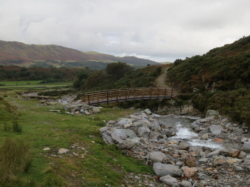
First we cross Liza Beck using this very sturdy-looking bridge. Given financial
constraints, one almost wonders whether it is bigger and grander than it needs
to be to serve its function.
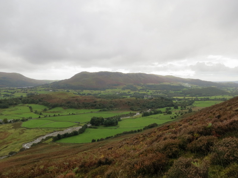
Gaining height up Whin Ben, the view over the Vale of Lorton to Loweswater Fell
Looking back along our route (you can even just see the car to the left of the
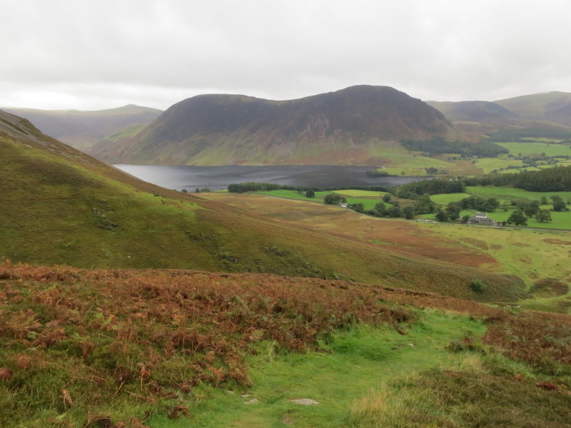
farm) there is a good view of Mellbreak beyond Crummock Water
George pauses for a breather (well, probably he's really pausing to wait for me
to catch up), with Loweswater Fell again on the left
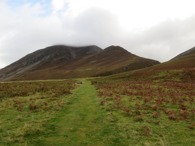
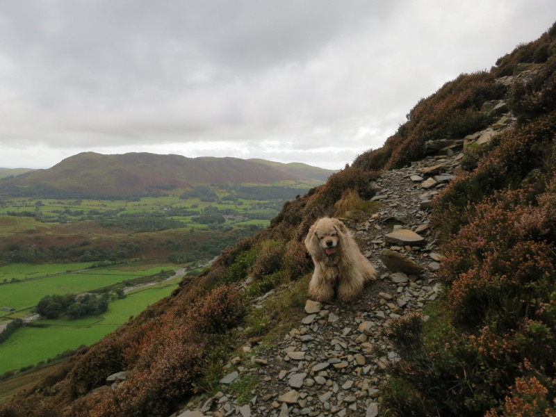
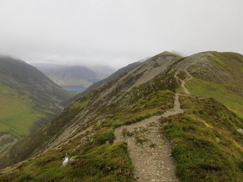
On Whin Ben, the view opens up of the ridge to be walked on the left over
Whiteside and on to Hopegill Head and Sand Hill in the clouds. We'll then
continue a bit further to Grisedale Pike before returning to Coledale Hause on
the right from where we follow the long valley of Liza Beck
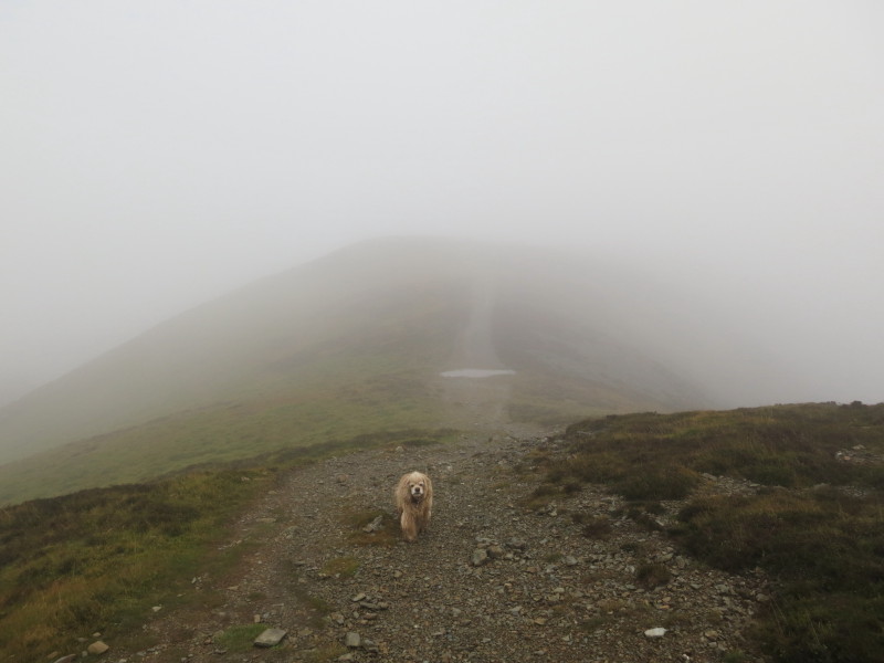
George on the misty ridge
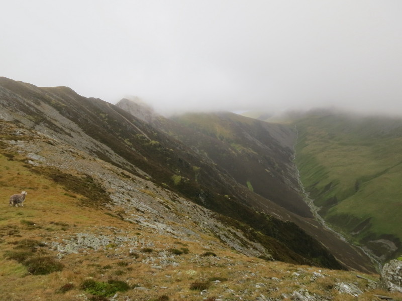
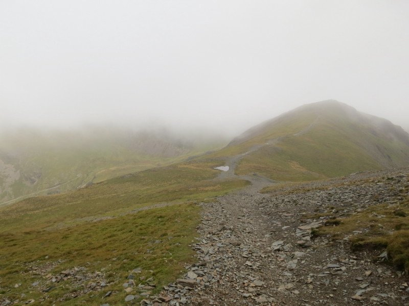
The cloud tries to lift: ahead is Hopegill Head with part of Sand Hill visible
centre, and Coledale Hause on the right
Looking back over Whiteside, with Liza Beck below on the left leading to
Crummock Water
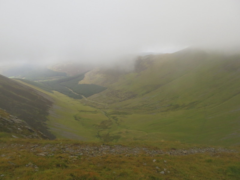
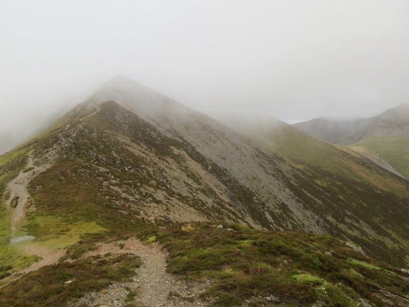
Having visited Hopegill Head and Sand Hill in the clouds, the route onwards to
Grisedale Pike reveals a view down the valley of Hobcarton Gill
From Grisedale Pike looking back towards Hobcarton Crag on the right
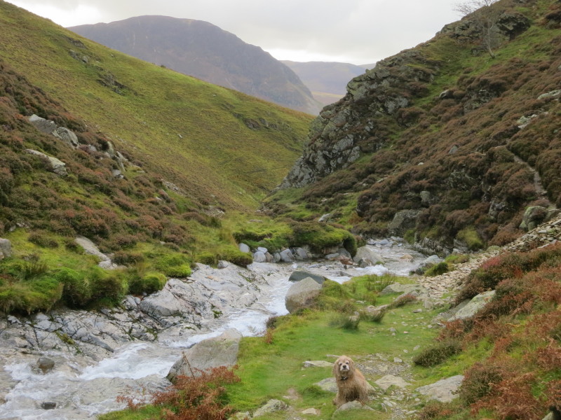
We've reached Liza Beck, and navigating is now easy: just follow the beck almost
all the way back to the car. Underfoot it is a bit more challenging in places,
but an interesting walk.
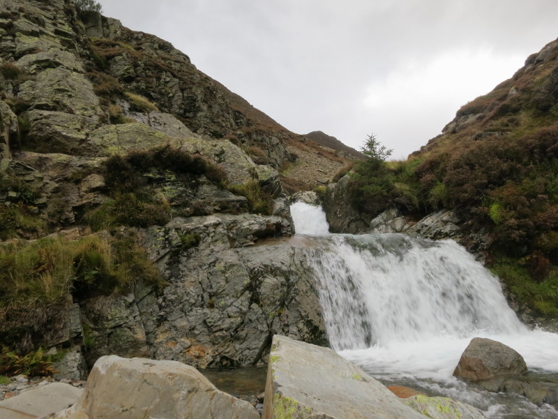
An attractive waterfall but the most awkward bit of the walk for the route
descends the wall on the left of picture. George needed a bit of help and I used
my bottom a bit in sliding down from shelf to shelf.
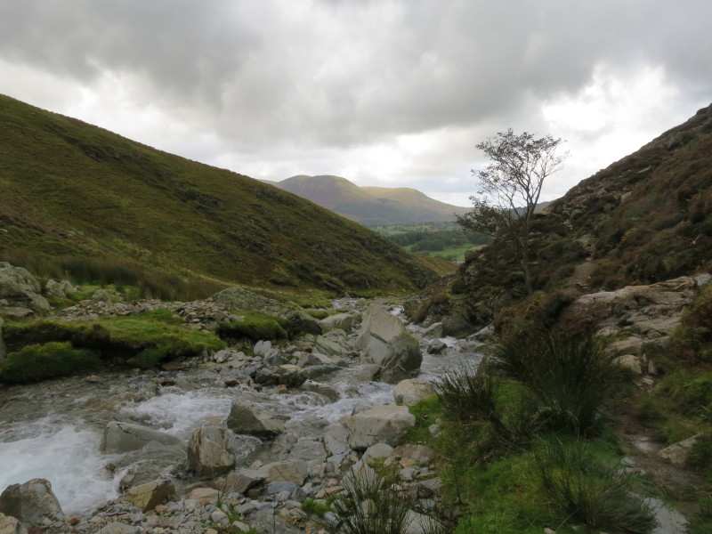
The valley starts to open out and views develop
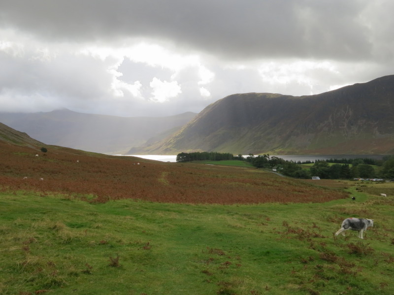
Returning to the car park, the sun is shining brightly on Crummock Water
The cloud was a bit more persistent that I'd hoped, but still some interesting
walking. The awkward section on the return along the beck could be avoided by
taking the alternative higher route, though the point of divergence is well
above the short tricky section.
Total distance 11.4 km and about 1000 metres of ascent in 5 hours 16 mins
Lake District holiday, September 2012
|
|