The Nab and Rest Dodd
1 January 2012
Another day when the forecast was best in the east (or at least away
from the south-west) so it was a cue to visit a couple more of the Far
Eastern Fells.
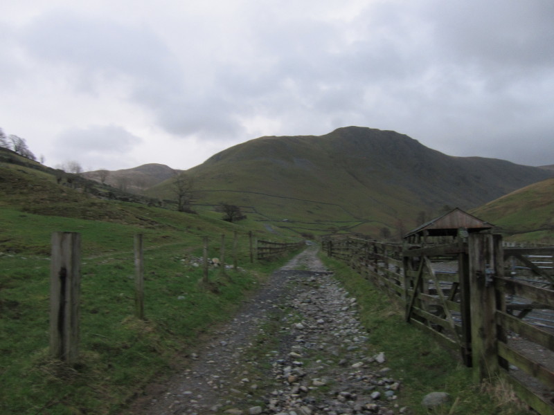
From the car park on the eastern edge of Hartsop, we head initially towards Gray
Crag in a dim early morning at 8.55am - yesterday was the latest sunrise so the
mornings are now getting lighter, but the change isn't noticeable yet
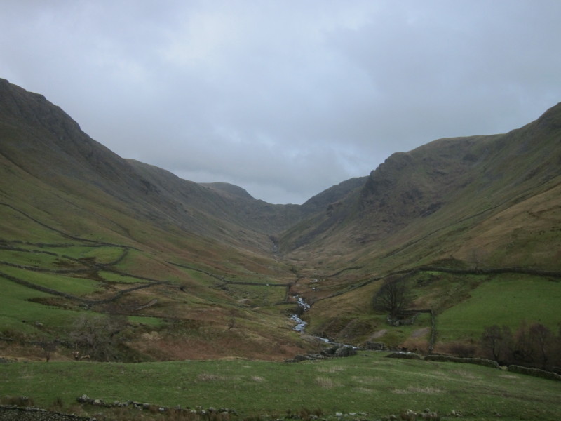
Looking up Pasture Bottom to Threshthwaite Mouth
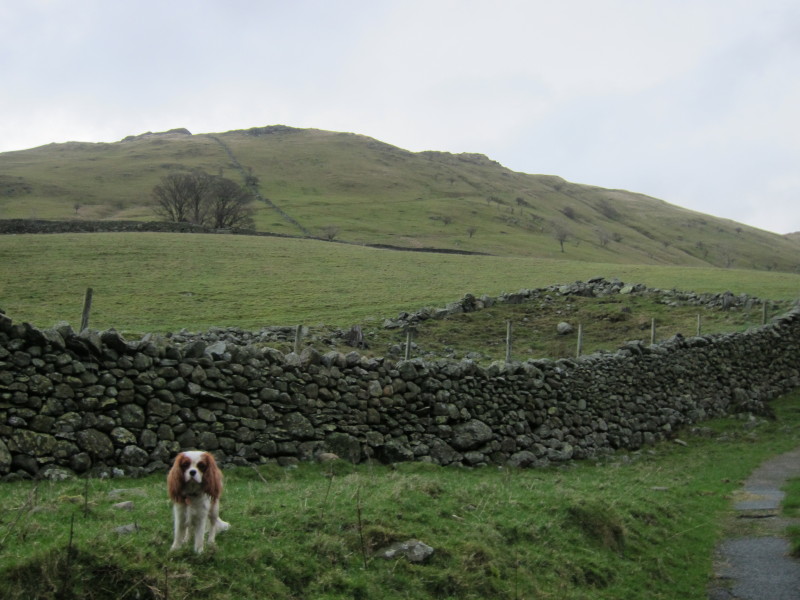
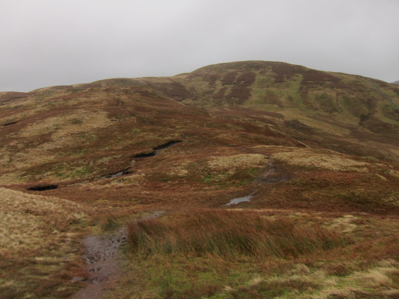
Brock Crags behind Hetty – we’re going to ascend along the path sloping across
the fell gently rising towards the right
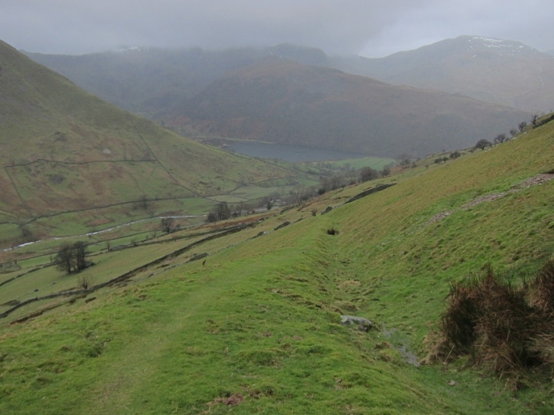
On the ascent, looking back to Brotherswater. The rain is closing in.
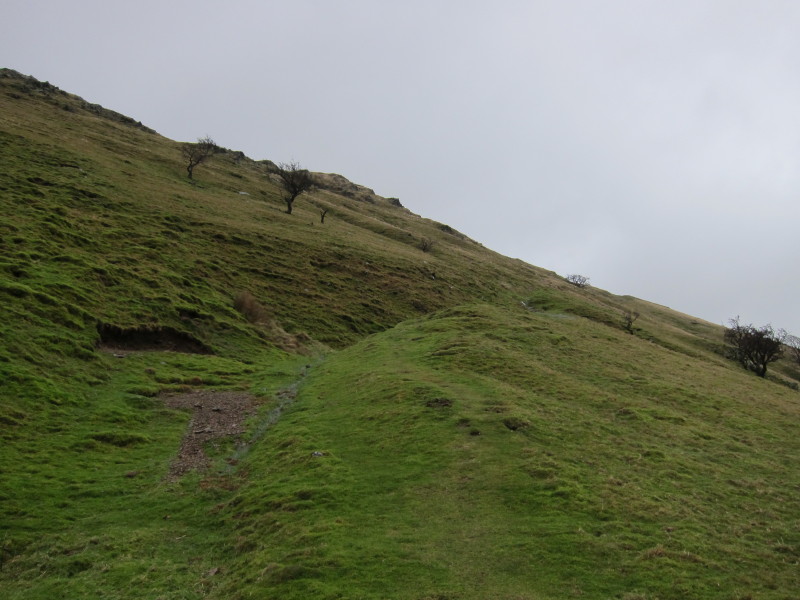
Ascending across the face of Brock Crags. I found this path when I visited the
summit of Brock Crags and was descending in fog, and thought it rather pleasant
so chose it for today's ascent.
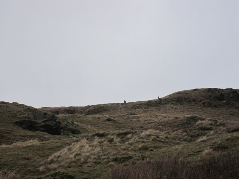
Two deer from the Martindale herd.
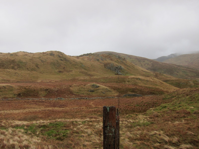
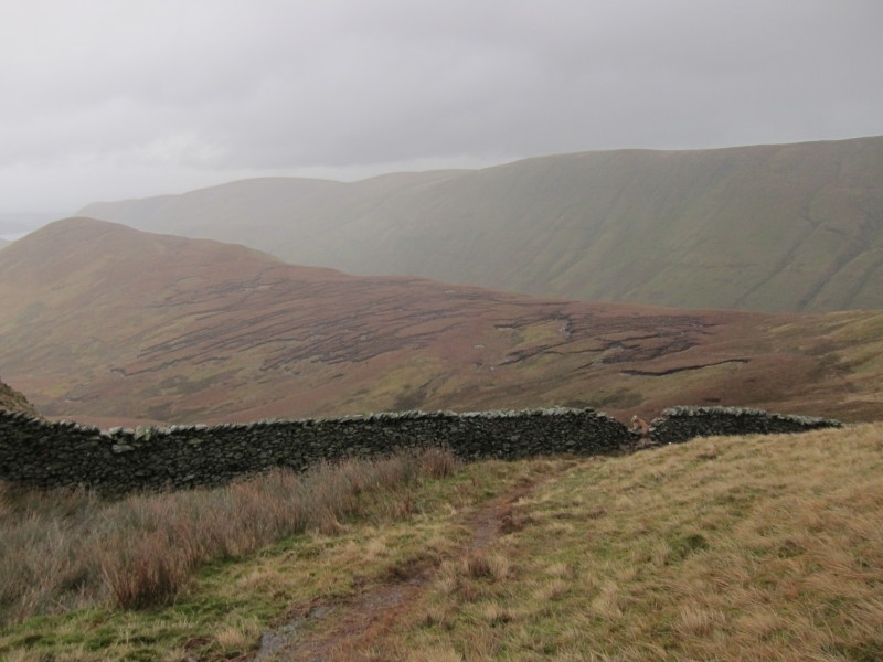
A line of fence posts heads over Satura Crag with Rest Dodd behind. We're going
to head a bit further north to join the main path from Angletarn Pikes before
turning for Rest Dodd.
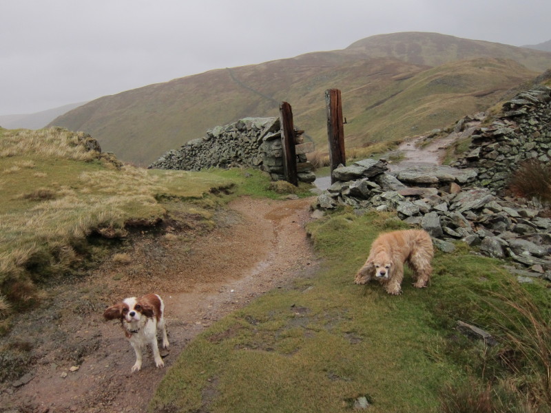
I remember this gateway from the visit George
and I made here (in fog and snow) in February 2010. Although the weather is
wet and very windy, at least there are some views this time.
Heading towards Rest Dodd
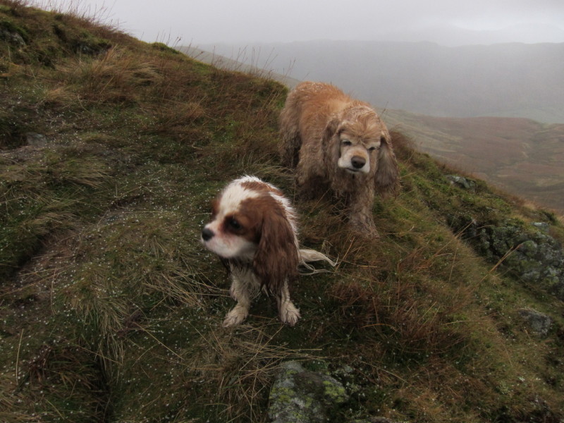
We skirted around Rest Dodd to go first to The Nab, seen here on the left. That
boggy ridge looks as though it could be a bit challenging. Can you spot George?
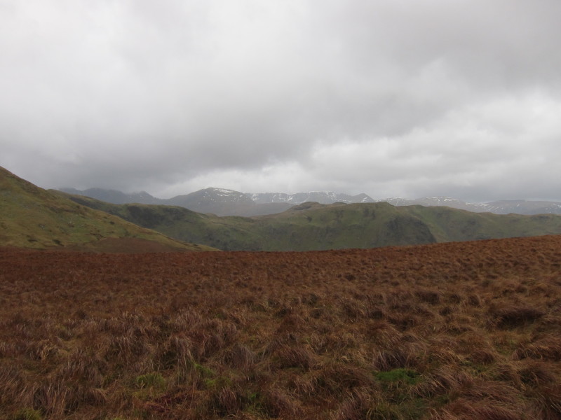
On the ridge to The Nab, a look to the little bits of snow on the Helvellyn
massif
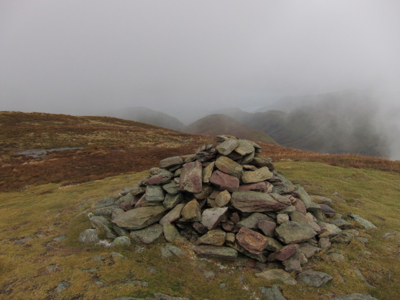
On the summit of The Nab, looking back to Rest Dodd, our next destination. It
was very windy.
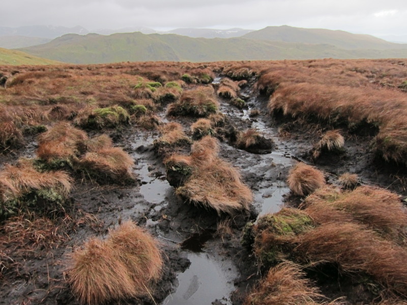
One of the tricky bits on the ridge route
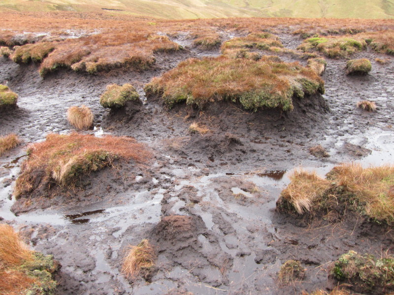
And another interesting crossing to make.
Safely on the firmer slopes of Rest Dodd, we now have a hail shower to contend
with - somewhat painful with the wind continuing to blow pretty briskly.
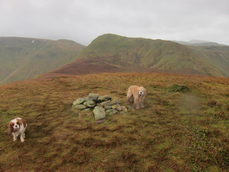
One of the three nearby summits on Rest Dodd, with The Nab visible centre.
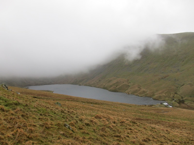
Descending out of the cloud and to somewhat calmer conditions, we approach
Hayeswater
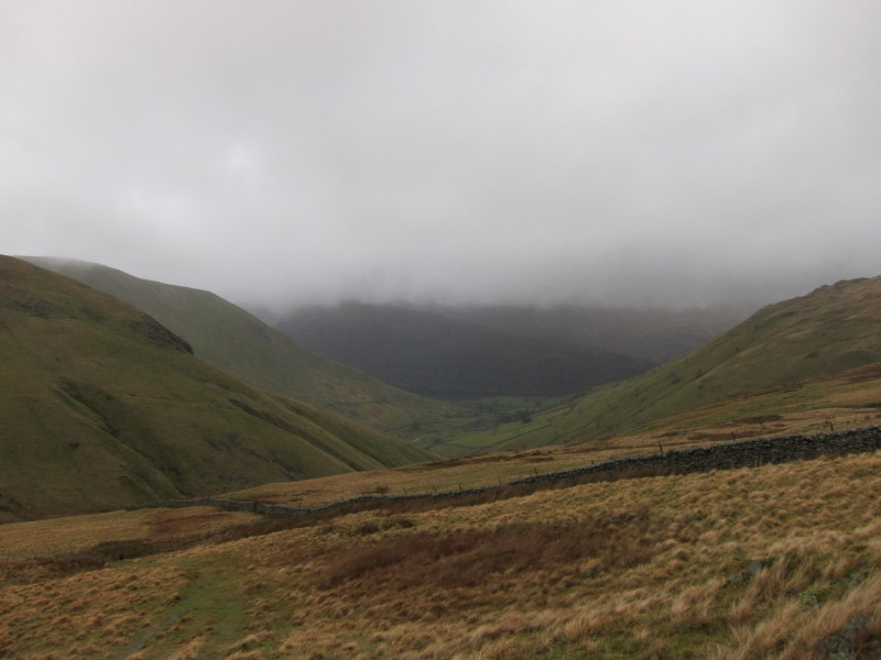
Looking down the valley to Hartsop.
An interesting mixture of characteristics on this walk - but again, a shame
about the weather, but at least the cloud was high for most of the walk.
Total distance 10.4 km and 773 metres of ascent in 4 hours 15 mins
Lake District holiday, New Year 2011/2012
|
|