Hertfordshire Chain Walk 8:
Watton at Stone
27 December 2008
Today George accompanied Stephen
on another visit to the Hertfordshire Chain Walk. The route is a series of 15 circular walks which link
together to create a chain, running from the northern edges of Enfield in
Greater London to
Cambridgeshire. With the walks being
circular they can be started from any point and walked in either direction. The
eighth walk, was started from Mill Lane in Watton at Stone.
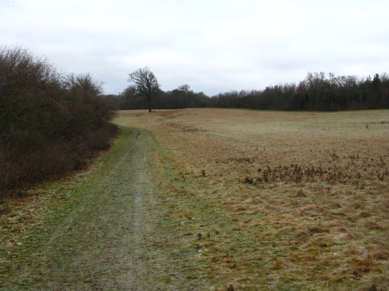
Walking away from Mill Lane, parallel to the river. This section became quite
familiar as I had to return to the car to fetch George's lead so walked it three
times.
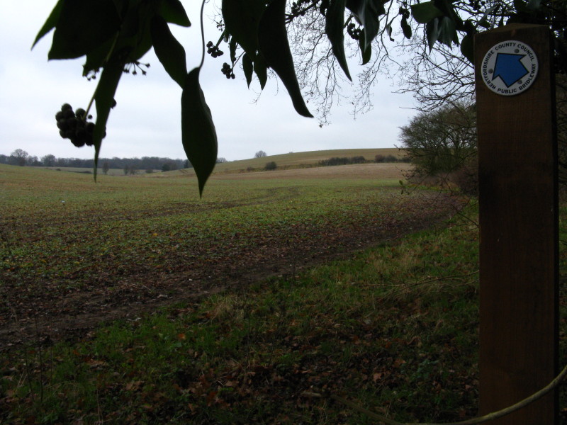
Across the A602 road, we continue across farmland. The marker helpfully confirms
when we have reached the point where the public footpath leaves the edge of the
field and strides out across the middle - there is no sign of previous users,
but armed with my GPS to guide me, I stuck to the official route and soon
spotted the stile on the far side of the field.
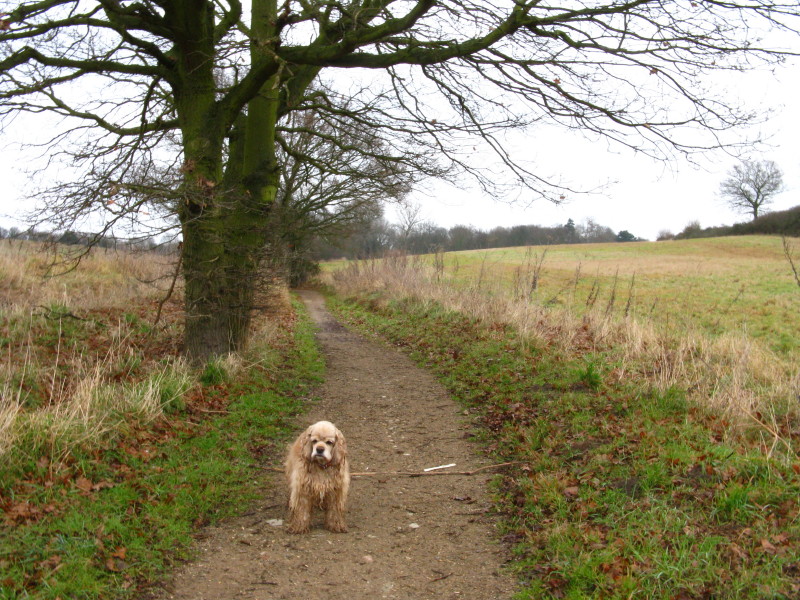
Across High Elms Lane, we join this restricted byway which is clearly an ancient
way, and winds delightfully towards Burn's Green.
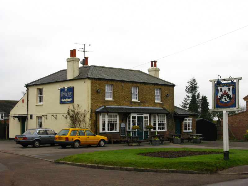
The Lordship Arms at Burn's Green
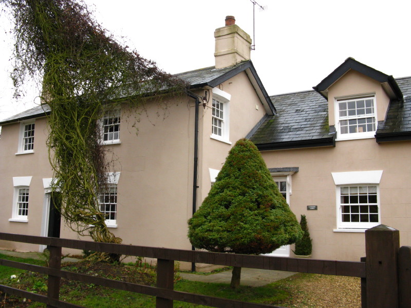
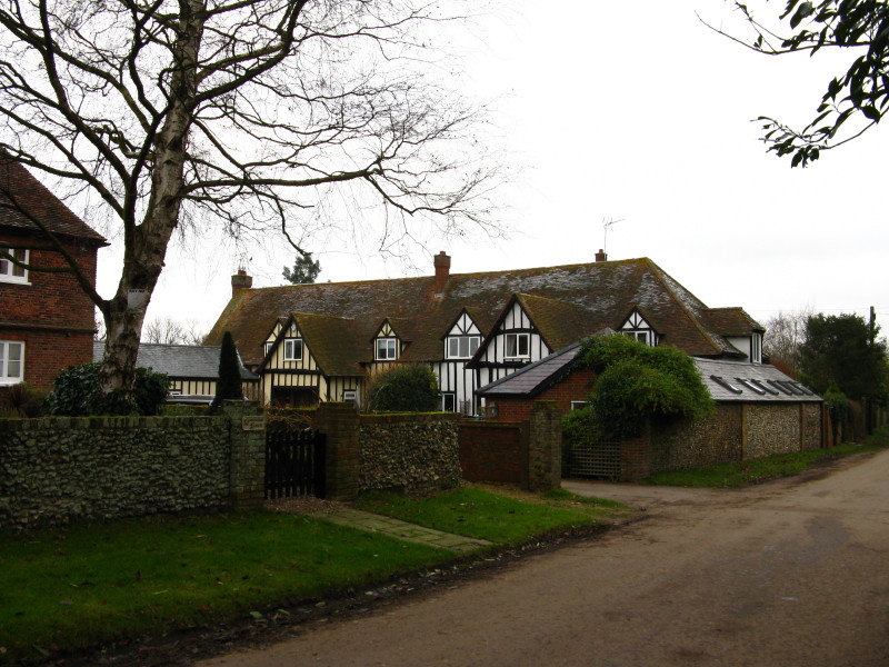
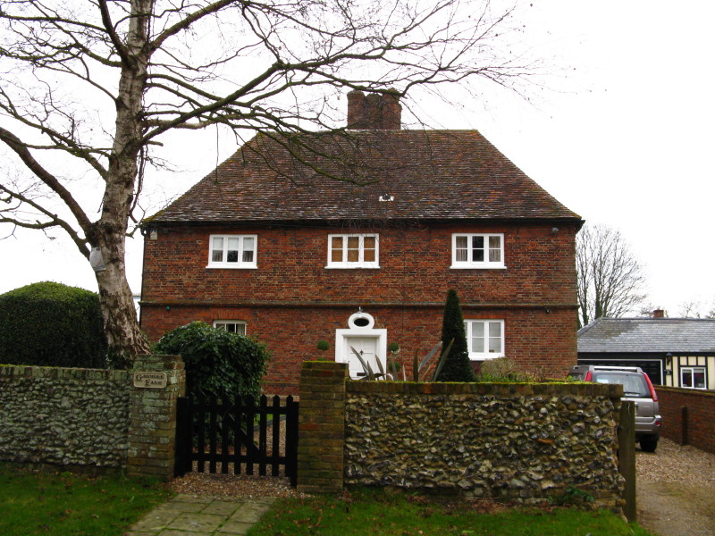
There were lots of attractive houses in Hebing End, Burn's Green
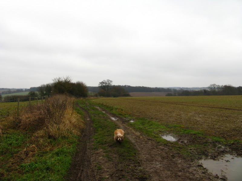
Emerging onto farmland again, with a long downhill stretch ahead of us
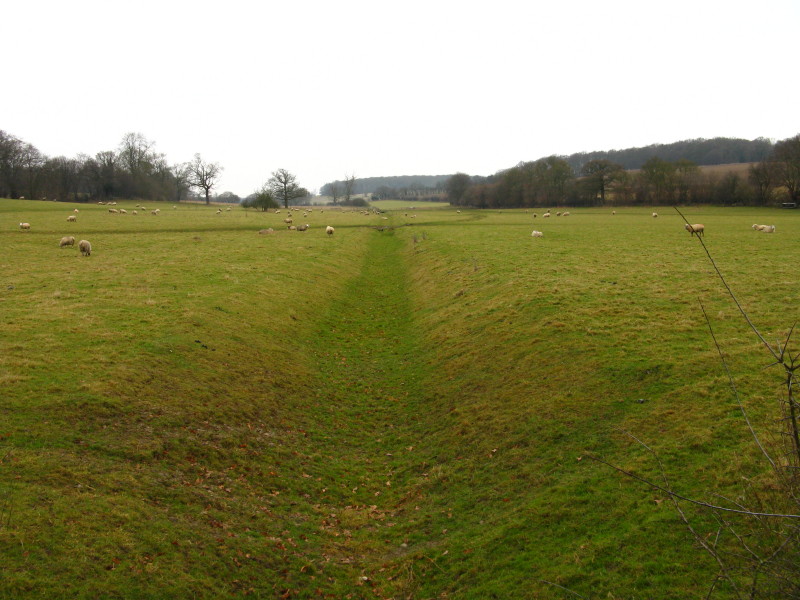
At the bottom, we made our way across this field, and cross its dry stream bed.
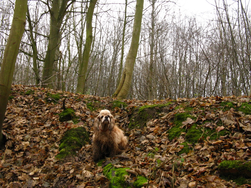
George on the bank of another ancient restricted byway
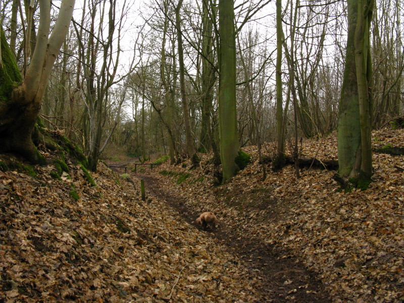
Making our way uphill along the restricted byway
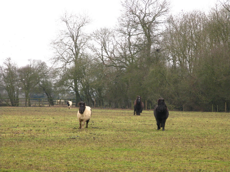
At the top of the hill, we had to make our way through several fields of horses,
which rather unnervingly sprinted up to us and then threw themselves around,
presumably because we didn't provide food.
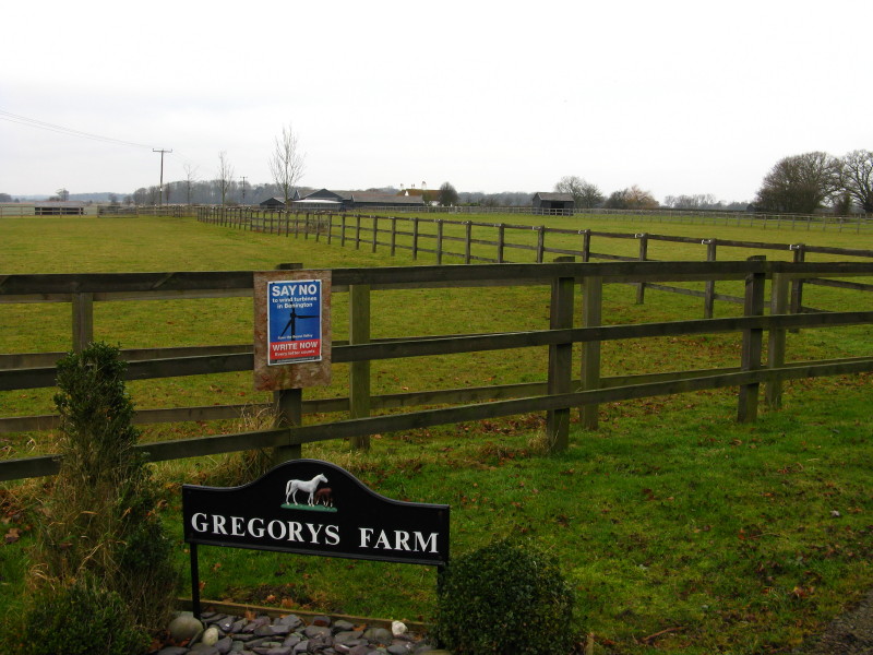
We passed through the equine Gregory's Farm (well, the Ordnance Survey includes
the apostrophe, even if the owners don't).
A trig point tells us we are 118 metres above sea level.
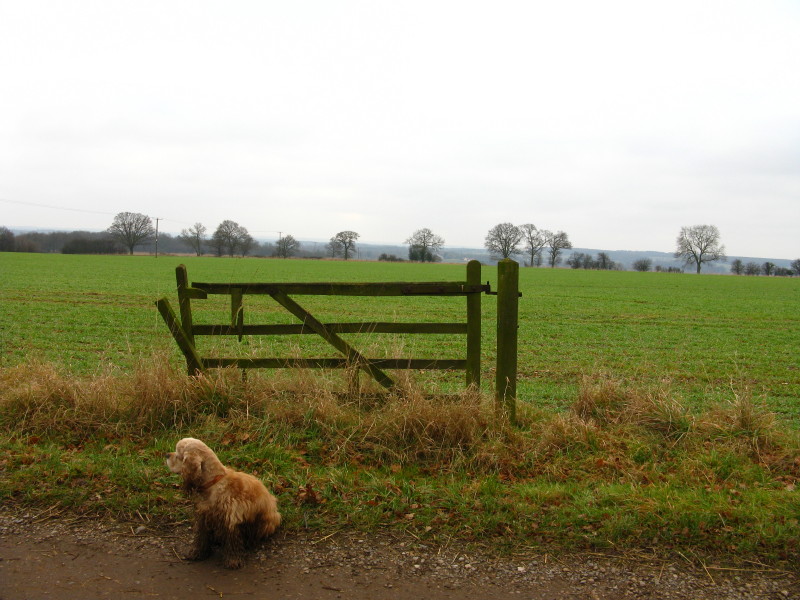
A rather sad looking gate with no purpose in life looks over the Beane valley
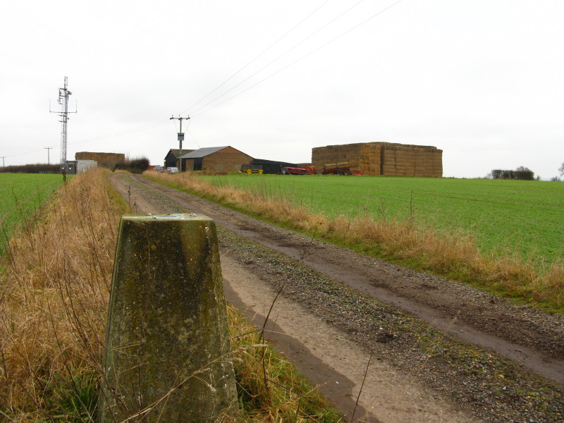
The section of Mill Lane which is now a bridleway since the building of the
bypass.
A rather gloomy and chilly walk, but it was still good to stretch the legs, and
the ancient sunken paths were interesting.
Zoom in for more detail, or see map in larger window: Ordnance Survey |
Open Street Map |
Google Maps
Total distance 10.8 km with 135 metres of ascent in 2 hours 11 mins.
|