London Loop Walk 13:
Hatton Cross to Uxbridge
27 August 2006
Today Stephen did the thirteenth of his London
LOOP walks, once more with George for company. A signal and points failure
on the Piccadilly Line meant that we had to wait nearly 20 minutes for our train
at Finsbury Park, which of course in turn meant that it was absolutely packed.
Poor George had a very trying journey, sitting on the floor of the train while
ever more people tried to squeeze in around him. But he was very patient, though
as the train emptied a little, he started darting for the door at every stop -
26 stops on the Tube is very boring, especially for a dog, who can't see out!
But eventually we arrived at Hatton Cross station, and then had a 900 metre walk
along the A30 Great South West Road to reach the River Crane and the start
proper of the walk. The oddities of Green Belt planning means that Heathrow
Airport with its packed buildings and very high land values is on one side of
the road, and a farm on the other.
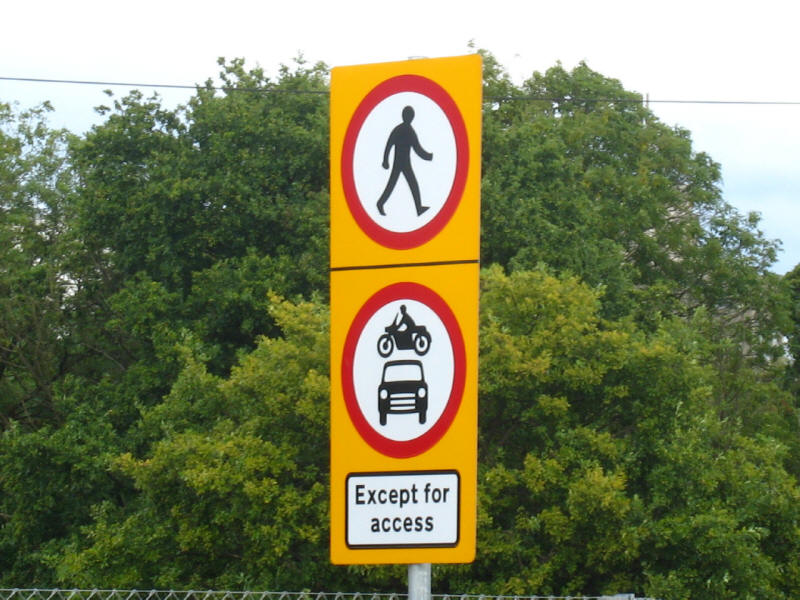
Ducking round the cutting that carries the Underground trains, we reach this
potentially intimidating sign - "no pedestrians", backed up by dire warnings of
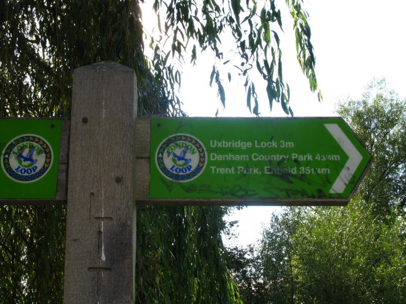
trespass, CCTV cameras, and barriers across the road. If there were a LOOP sign,
it would be more reassuring that we count within the "except for access"
exemption, but we haven't seen one of those since we left Kingston - Richmond,
Hounslow and now Hillingdon boroughs obviously having failed to buy into the
LOOP in the same way as the southern boroughs or Havering.
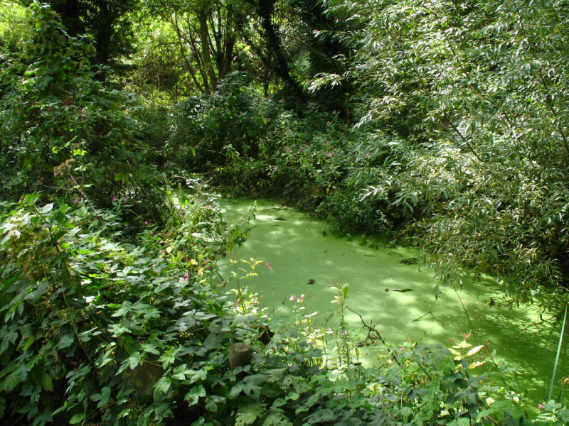
We then make our way along Cranebank, parallel with the River Crane, but the
river is largely out of
sight, though these stagnant ox-bow lakes show its former course.
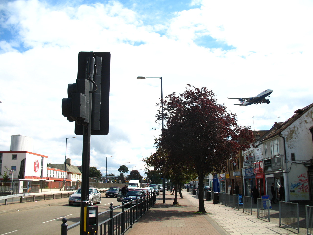
Aeroplanes were close overhead

Emerging from the river at Cranford, after a short bit of housing, with
aeroplanes extremely loud and low overhead, we find the
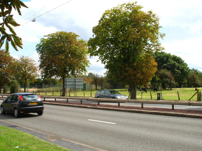
A4 Bath Road, which we cross.

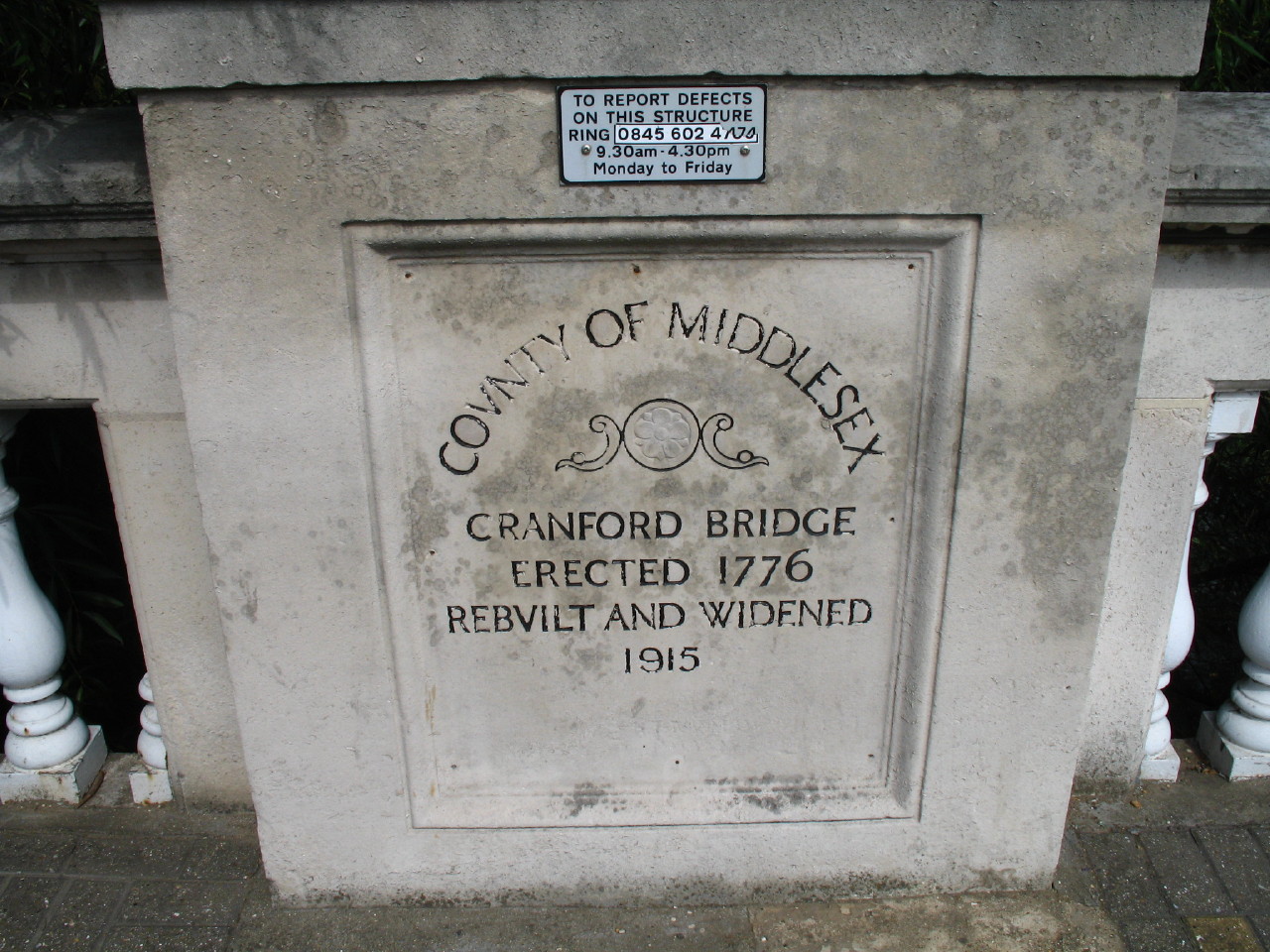
Cranford Bridge is on the site of the ford over the Crane that gave Cranford its
name. There was a bridge here by 1274, and as the engraving shows the latest
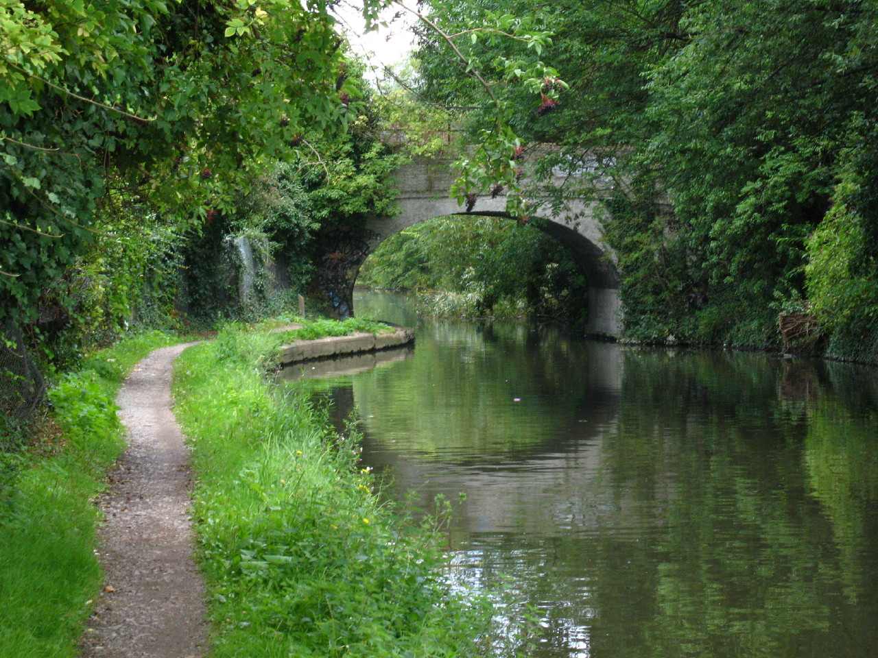
bridge dates from 1915. Here we rejoin the Crane once more for a walk through Cranford
Park.
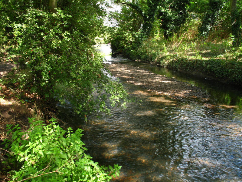
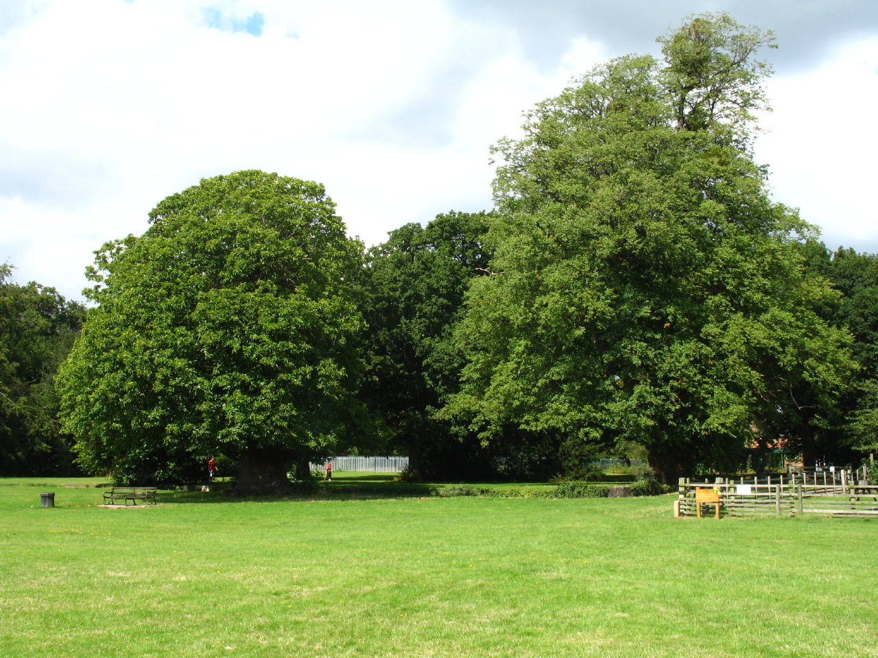
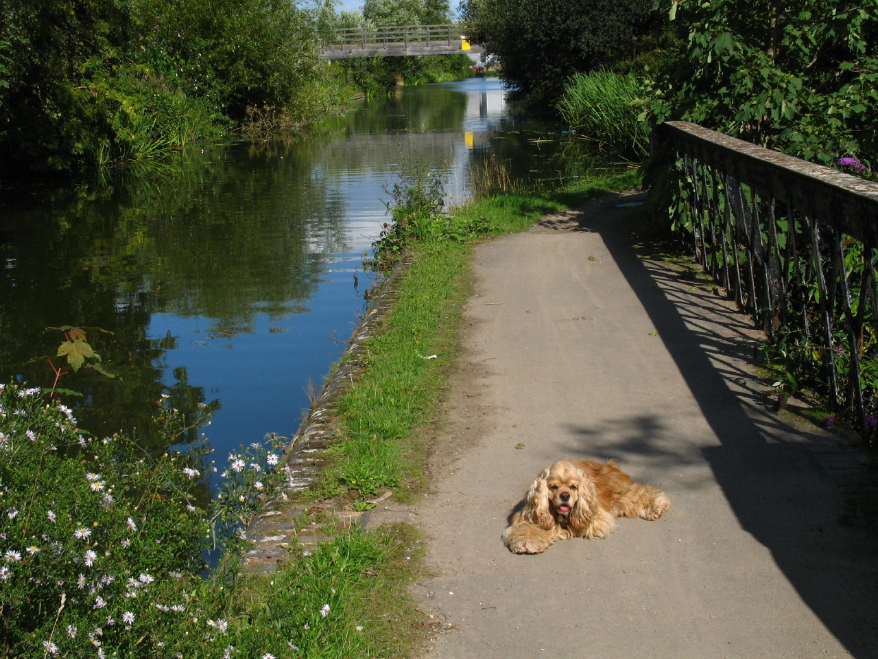
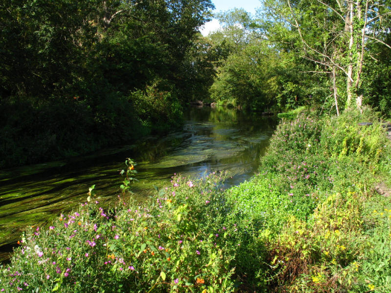
The River Crane looks very pleasant here. Cranford Park was the site of Cranford
Manor House, site of the Berkeley home from 1618 to 1918. The house was
demolished in 1945 and the park is now managed by Hounslow council.
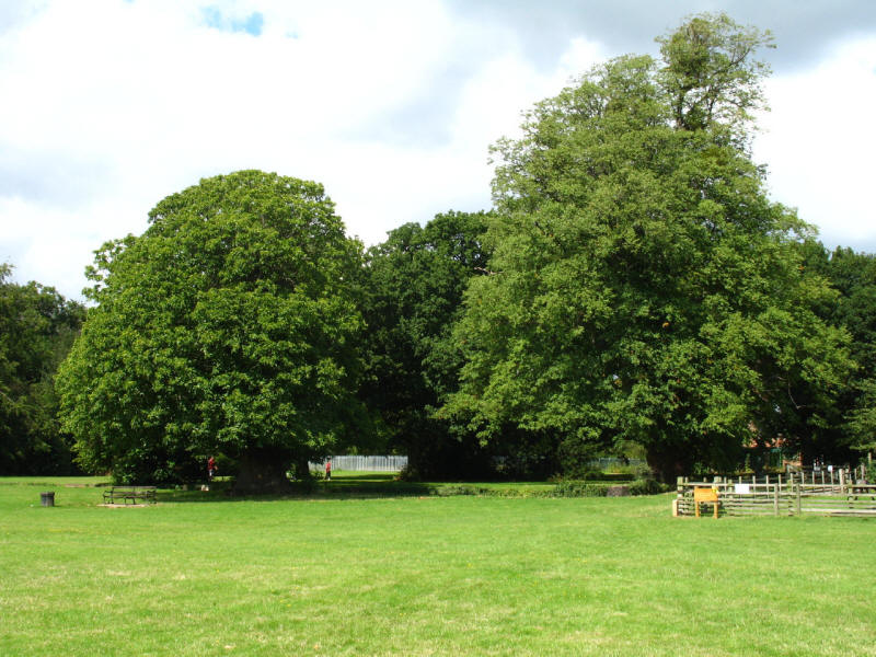
Looking towards the ha-ha that formerly enclosed the manor house here.

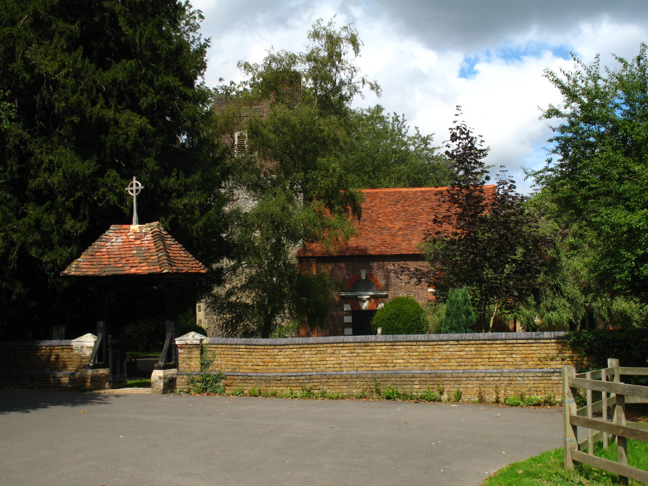
St Dunstan's church, now cut off from its parishioners by the M4 motorway. This
church was once the chapel of the
Knights
Templar, and churches have stood on this site since Saxon times.
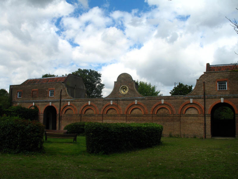
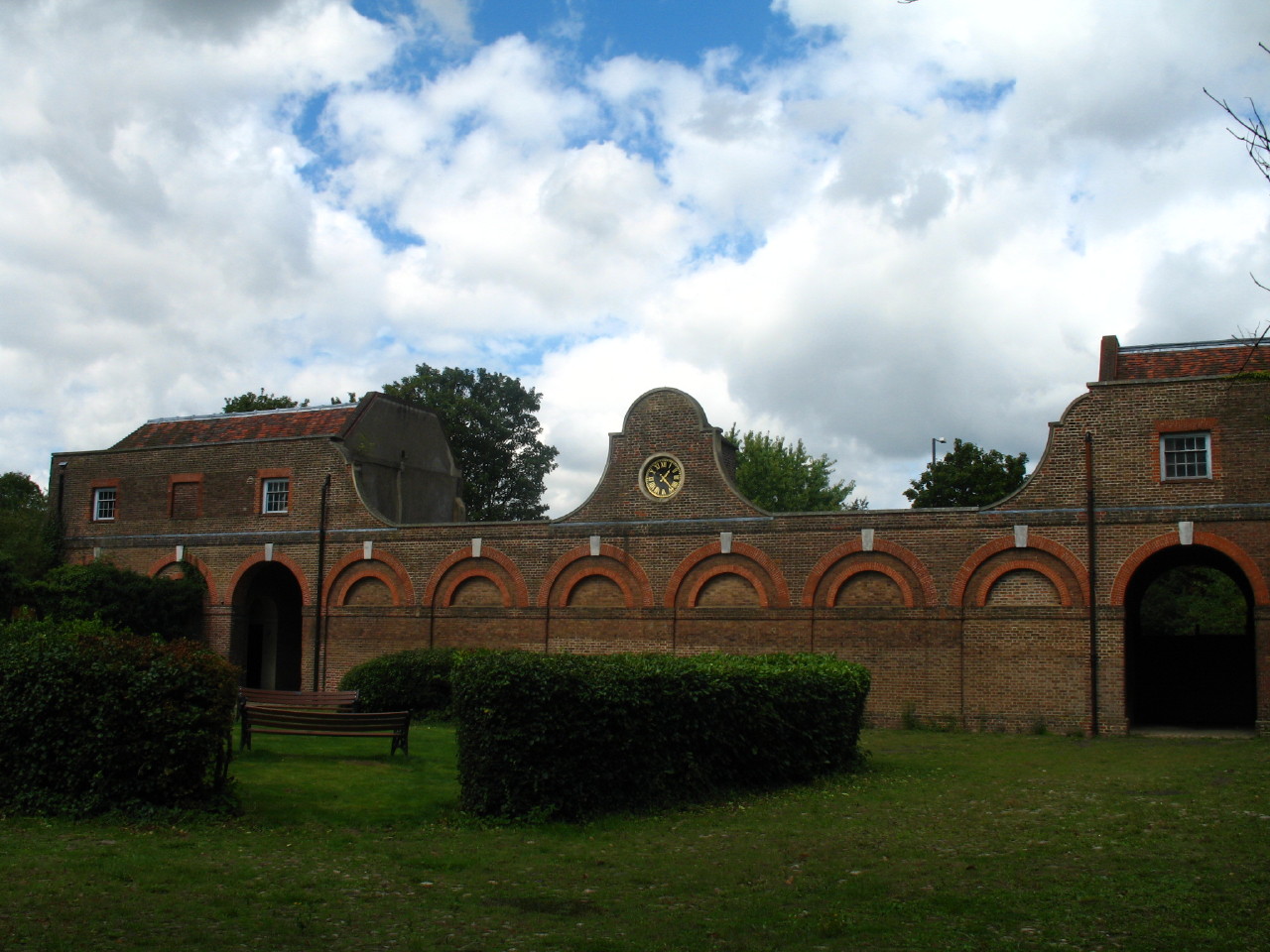
The former stables date from the 18th century, and have recently been restored:
they were once the headquarters of the Berkeley Hunt.

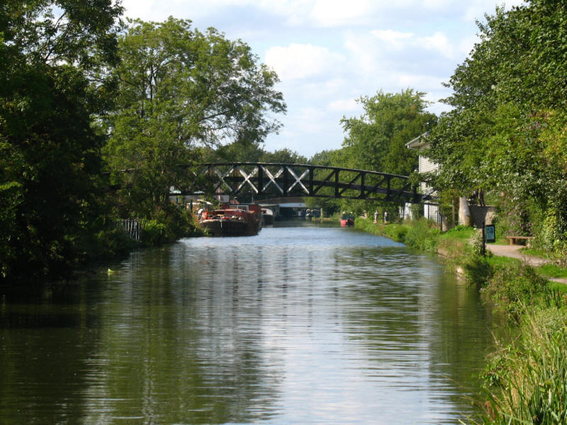
After passing under the motorway and along the Crane a little longer, we reach
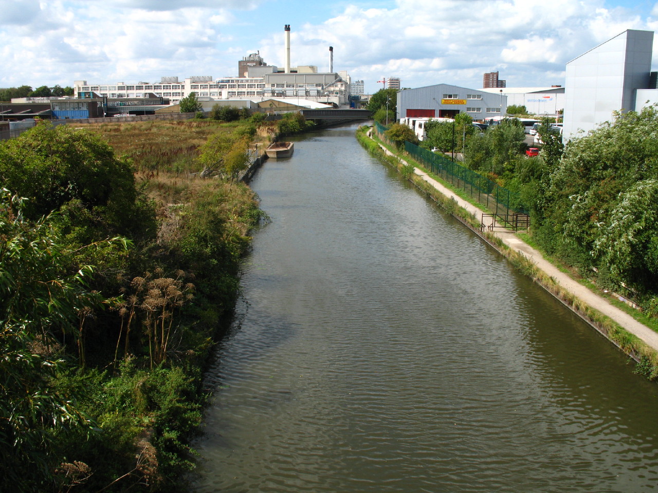
the A312 which rises over a large bridge, from where we look down on the Grand
Union Canal, to be our companion, more or less, all the way to Harefield (on the
next walk). The Nestlé coffee factory is in the distance on the left of the
canal, filling the air with the smell of coffee.
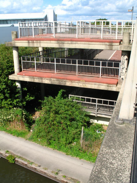
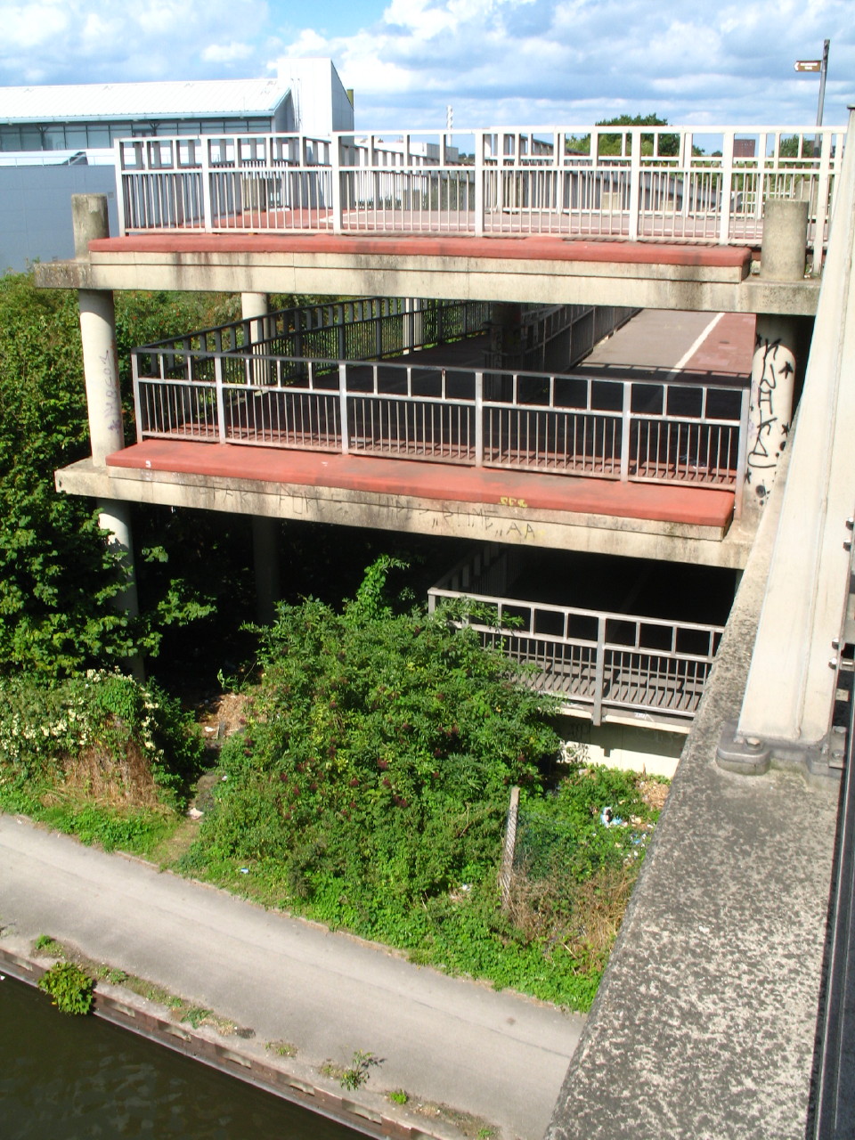
To get down from the road to the canal towpath, we are forced to use this
enormous, never-ending ramp, which must have cost a fortune to install, so much
so that they couldn't afford the stairs that most pedestrians would prefer,
instead forcing us on a 200-metre detour to descend perhaps 12 metres.
Around this point, I reached the 100-mile mark of my walk around the LOOP.
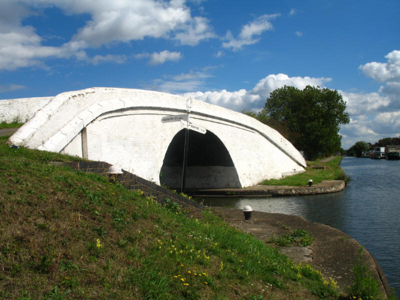
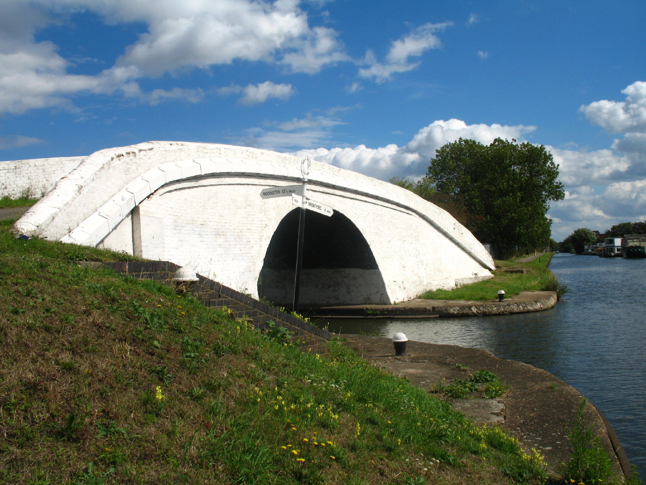
On reaching the towpath, a short diversion to the east brings us to Bulls Bridge
Junction, where the Paddington Arm of the Grand Union Canal turns off left towards
the basin at Paddington (with a connection to the Regent's Canal) while the main
line continues on towards the Thames at Brentford. The whitewashed bridge
does look very impressive, particularly against a blue sky on this delightful
day.
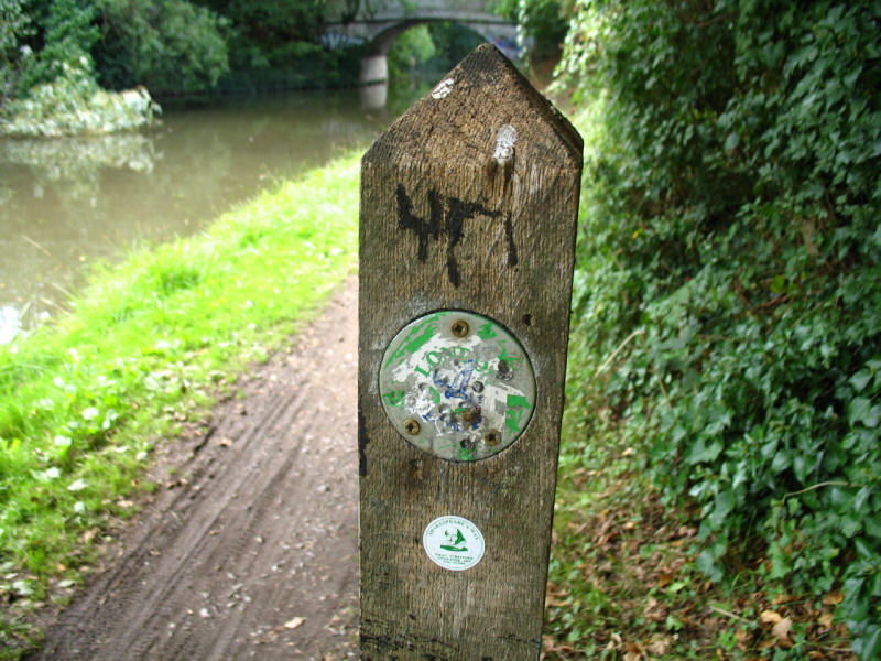
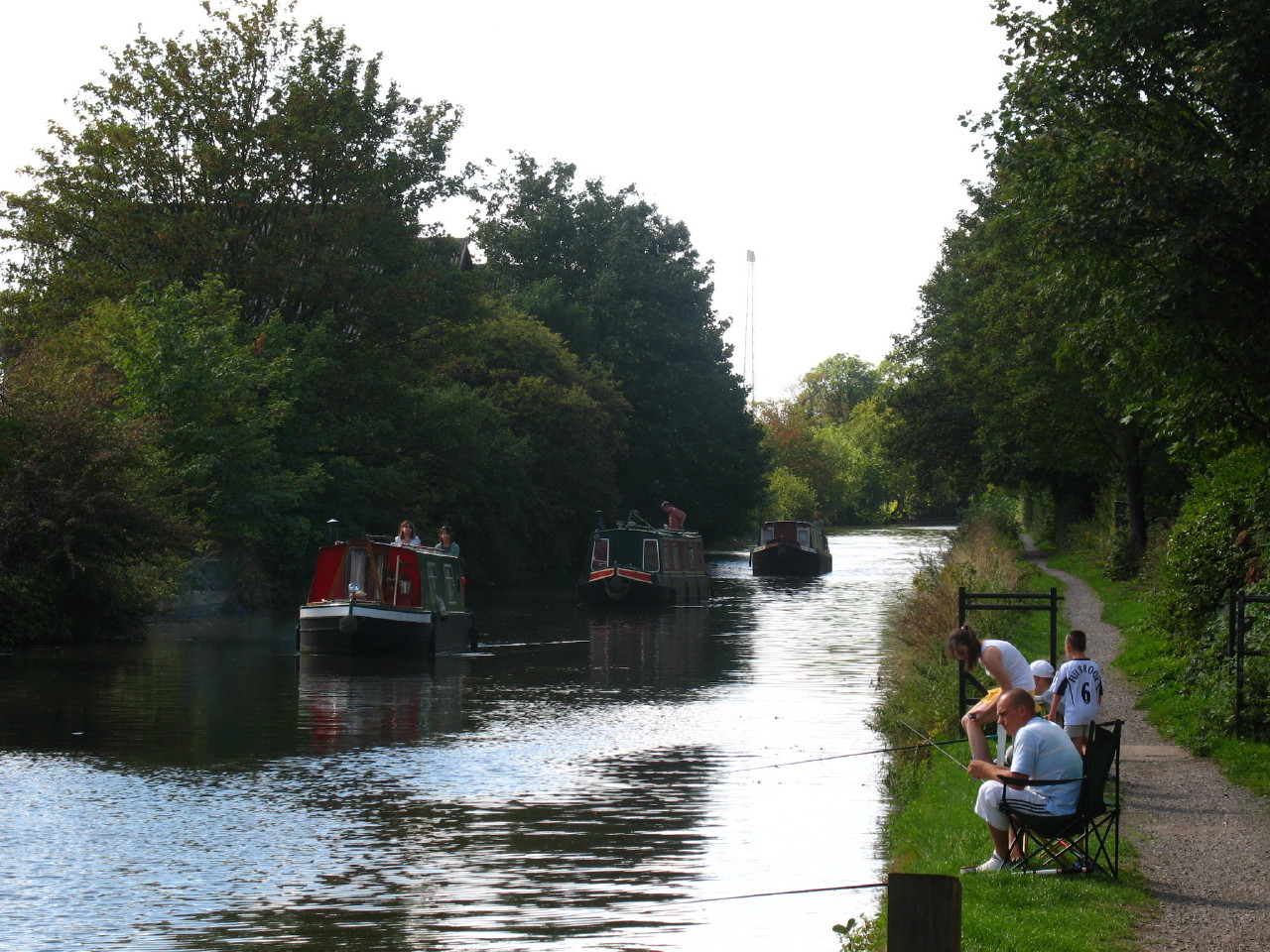
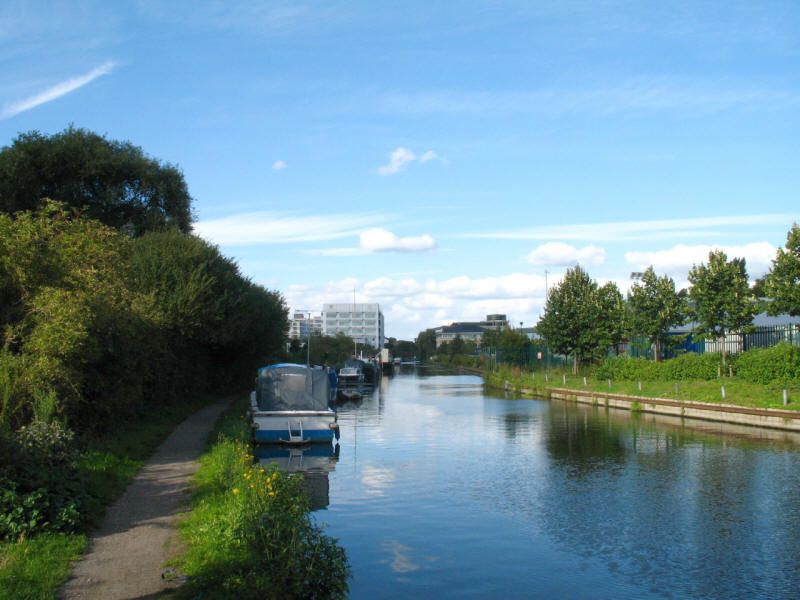
As we continue west along the Grand Union Canal towpath, the walk stops playing
with the boundary between Hounslow and Hillingdon as it has been doing all
day, and moves firmly into Hillingdon. And what is this we see (just!)? A
LOOP marker, the first since 9 July. It has seen better days, true, but it is a
sign of better things to come.

Bridge 196 on the Grand Union Canal. The LOOP leaflet says the bridges are
numbered from Birmingham, but of course they are numbered from the north end of
the Grand Junction Canal, at Braunston in Northamptonshire, where the Grand
Junction met the Oxford Canal.
Just after that, the designers of the LOOP decided that towpath walking
(particularly without any locks) might get monotonous, and decided to give us some
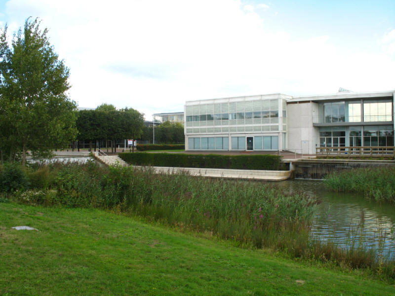
variety and let us explore the environs. Here we find ourselves in Stockley
Park, a mixture of business park, country park and golf course, all built on a
reclaimed landfill site, another of the LOOP's favourite places.
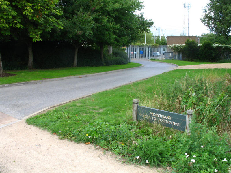
"Pedestrians keep to footpaths" it says - presumably intended to be prescriptive
rather than descriptive, it ignores the very obvious fact that the road behind
it has no footpaths - and that way the LOOP lies.
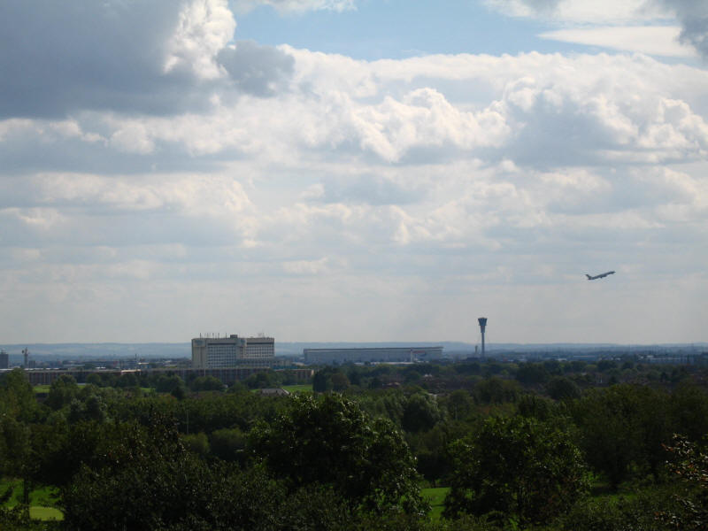
After passing through another LOOP favourite, the golf course, we cross on a
bridge high above Stockley Road and climb to the top of the hill named
Viewpoint. From there we look back to Heathrow Airport, which still seems quite
close considering we've been walking for quite a while now. The control tower is
the high tower centre-right.
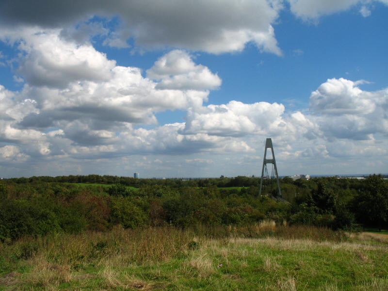
Looking back across the bridge we've just crossed to the golf course in Stockley
Park. The BT Tower (formerly the Post Office Tower) was visible on the horizon.

We then made our way back down the hill and returned to the canal.
Here we approach Cowley Peachy Junction where the Slough Arm turns off to the
left.
Cowley Peachy Junction from the bridge, looking along the Slough Arm. The flood
gates dating from 1881 can just be seen on either side of the canal, put there,
as the Slough Arm is heading off over an embankment and aqueduct, to close in
case of a breach in the bank to protect the water in the main line of the canal.
Behind the hedges lies the Packet Boat Marina, a new marina from 2003 which is
already full. Its name derives from the passenger packet boats which ran from
here to Paddington at high speed, the lock-free pound facilitating the run,
which had priority over all other traffic. The much faster railways eventually
out-competed the passenger canal services.

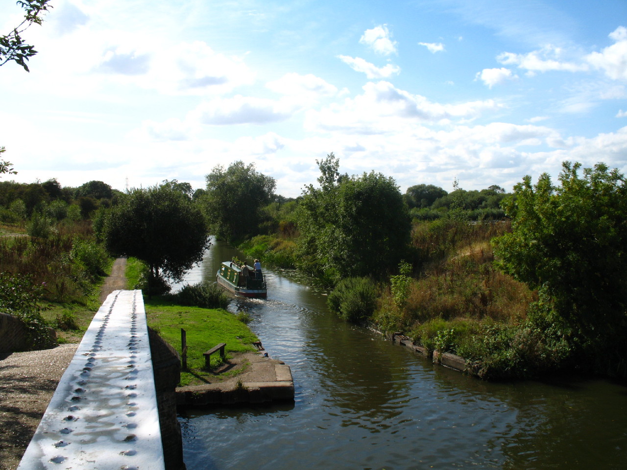
George on the aqueduct over Fray's River, an artificial loop of the River Colne,
created to supply water to power six flour mills.
We cross Bridge No. 1 (now the second bridge since the building of one to access
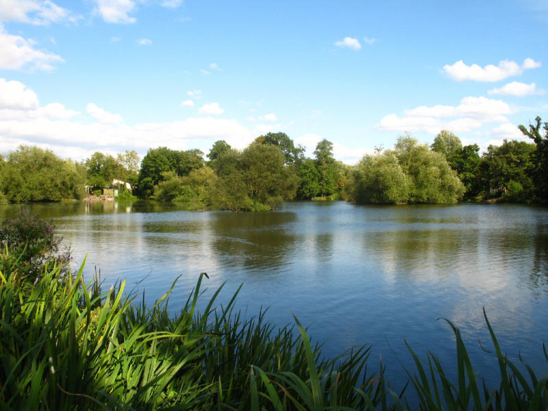
the marina at the junction) over the Slough Arm, and then reach the lake called Little
Britain. The LOOP publicity says that it is so named because it is shaped rather
like Britain (which it is), but the OS map shows an area to the east called
Little Britain - so which came first? The sign has "Enfield" for the first time
(albeit a fair way from where I will finish at Enfield Lock).
The sign pointing straight on, together with the slightly vague instructions in the guidebook
but mainly my own inattention led
to me going astray here, continuing around the Little Britain lake.
Although I don't know it yet, I should be on the other side of the River Colne,
here.
When we emerged onto Old Mill Lane, it became apparent where we had gone wrong,
but starting to feel weary, retracting steps adding 1km to the walk wasn't
attractive, so we walked along the pleasant Old Mill Lane, sandwiched between
the River Colne and Fray's River until we reached Iver Lane, where we rejoined
the LOOP proper.
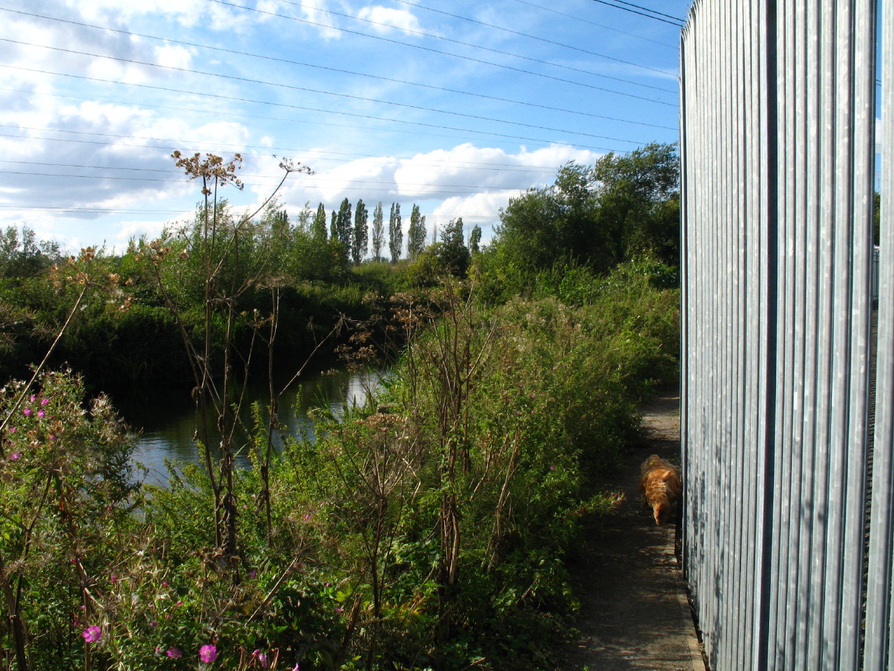
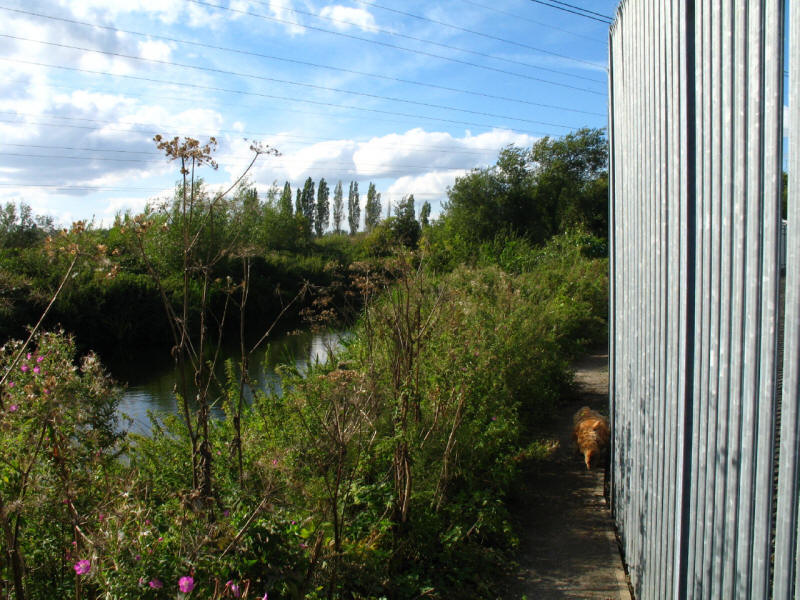
The guidebook describes the next section along the Colne as "narrow, often
overgrown, near to slithering into the river - a path in dire need of some
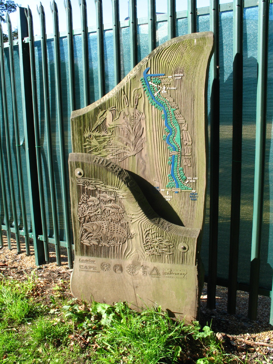
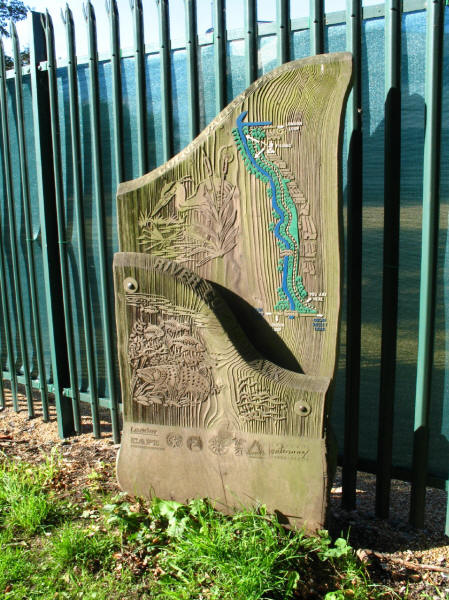
loving care". This attractive wooden board, with a long list of funding bodies
at its base, suggested that things might be better than the book suggested.
And indeed clearly effort had been spent, with some surfacing and cutting back
having been done - though we were still sandwiched between the vegetation which
won't take much growing to be a nuisance again, and the very high barbed-topped
steel fence, keeping us out of a huge area of tarmac and gravel. Compared with
several other bits of the LOOP (notably through Donkey Wood, but also a few
sections along the Hogsmill valley) this was now quite acceptably passable.
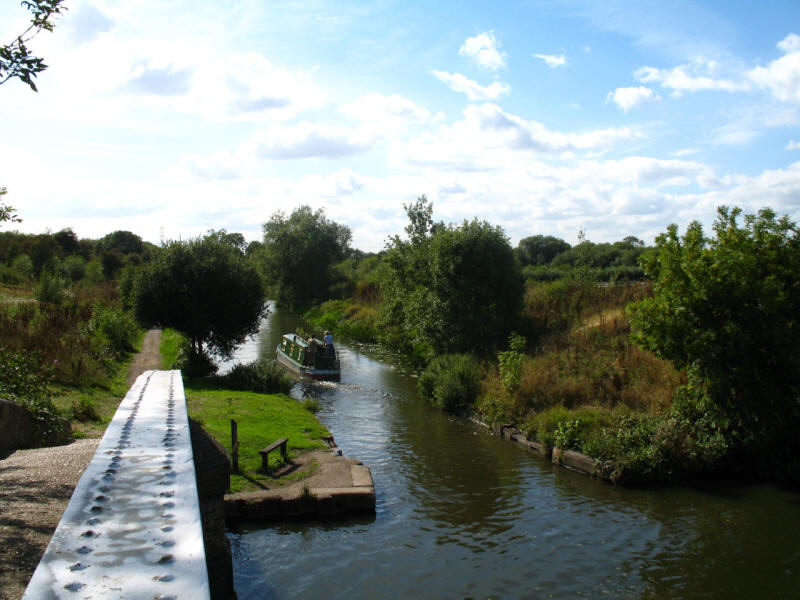
Leaving the Colne we walked through Uxbridge Moor to rejoin the main line of the
Grand Union Canal, which we followed into Uxbridge

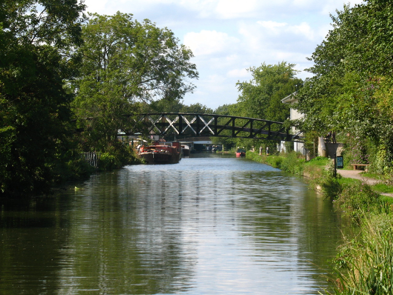
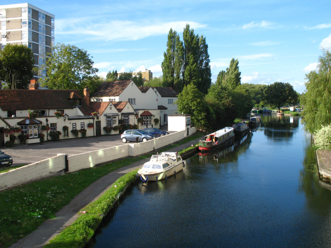
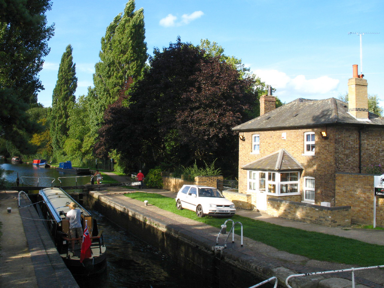
The Swan & Bottle pub from the bridge which is the end of the LOOP proper.
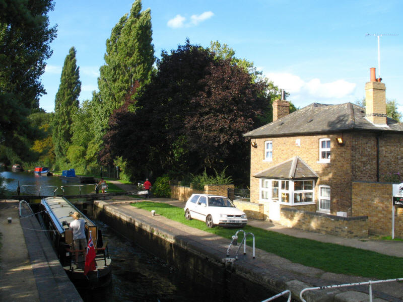
But it seemed a shame not to keep going a little bit further and visit Uxbridge
Lock, which (unlike most of the towpath) offered scope to sit down, and provided
a sense of finale to the walk.
A very pleasant walk, and, much as I love canals, the decision to go off
exploring away from the Grand Union on two occasions was the right one by the
route designers. Somehow it was a particularly wearying walk - perhaps the large
amount of gravel on the towpaths was hard under foot, together with the lack of
obvious places to stop and rest, but also the 100-minute cramped stand on the
Underground getting there meant that I started off rather tired, which didn't
help. But a grand day out.
London Loop
Section 10 Hatton Cross to Hayes: 6.1km plus 0.9km of link walk, 1 hour 50 minutes
(including 25 minutes stopped), 35 metres of ascent.
London Loop
Section 11 Hayes to Uxbridge Lock: 11.3km plus 1.0km of link walk, 3 hours 50 minutes
(including 60 minutes stopped), 70 metres of ascent.
|