Mid-Suffolk Footpath 1: Norfolk to Thorndon
30 April 2011
Another weekend, another multi-stage path started!
With Lucy going to her friend Nickie's on the Norfolk/Suffolk border, I
went with her as far as the A143 near Thorpe Abbotts. The Mid-Suffolk
Footpath runs from the Norfolk/Suffolk border between Hoxne and Thorpe
Abbotts, just west of south to reach Stowmarket.
That start point of the MSF means that there is the need for a little
walk-in to reach the start, since the border, the River Waveney, has no
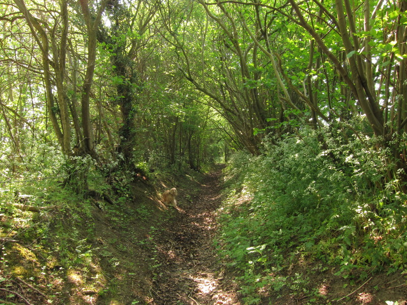
roads at that point. So this ancient footpath was taken south-west
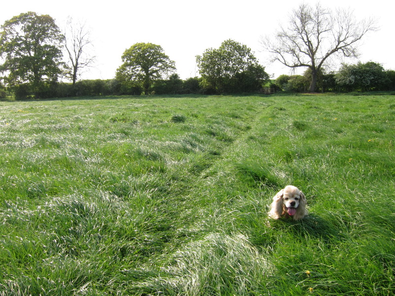
towards the river. (Did you notice George?)
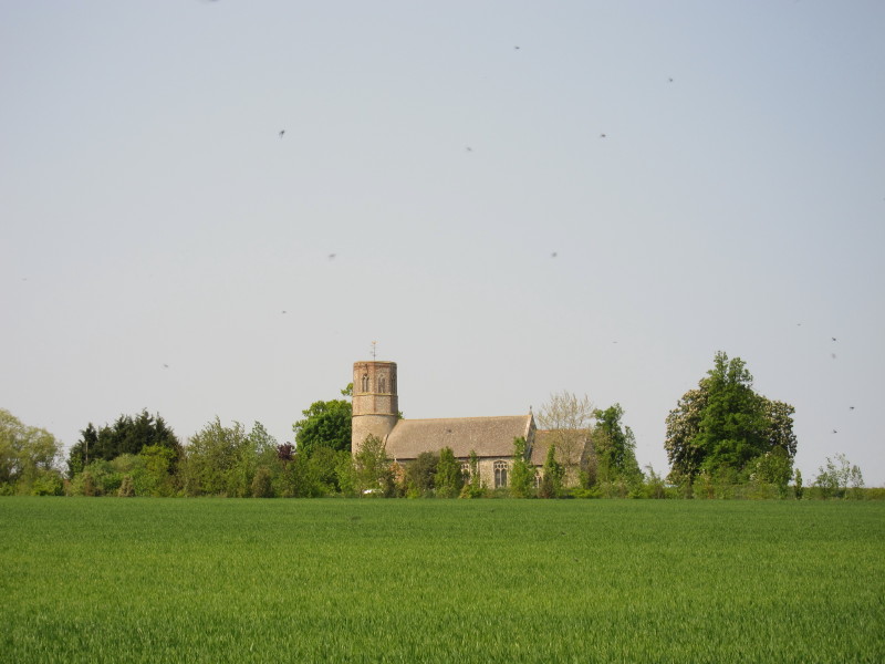
Looking back across a field to Thorpe Abbotts church; the farm ("thorpe"
in Danish) was given to the Abbey in the 10th century. The church
includes Saxon features and so may date from that time. Incidentally,
those aren't birds in the sky, but flies - this has been a remarkably
good Spring for flies.
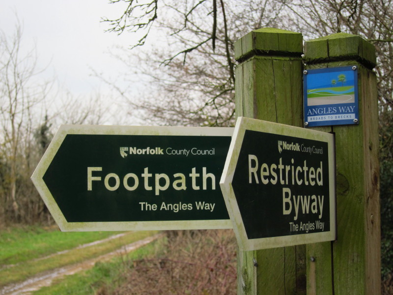
My route then joined the Angles Way
for five hundred metres or so: the public footpath has come from Diss and the
restricted byway is heading for Great Yarmouth.

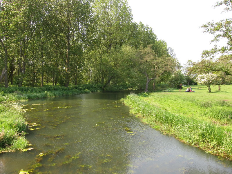
After that short section in common, we reach the River Waveney. The Mid-Suffolk Footpath may be regarded as
starting here where the route leaves the Angles Way.
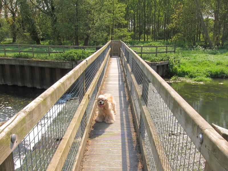
After a short walk along the river bank, George and I crossed the
Waveney and thus into Suffolk.
Straddling the border
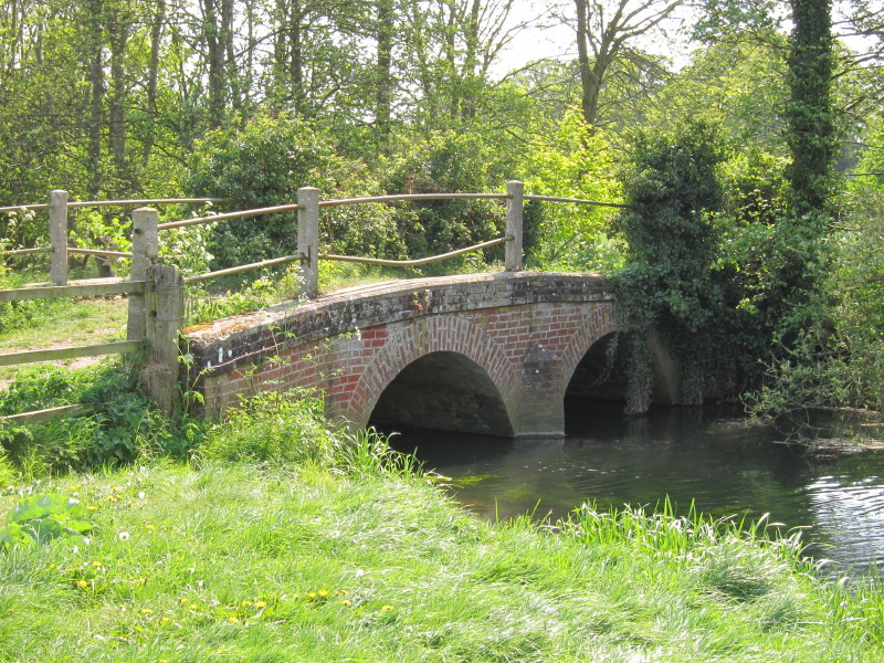
Having crossed the main stream of the Waveney, we were on an island and
a little later used this, Moor Bridge, to cross the other channel.
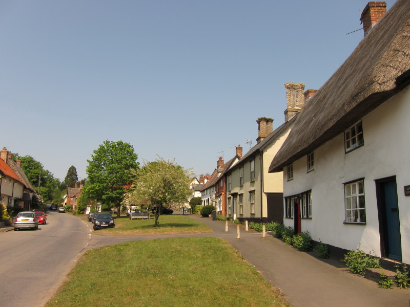
Low Street, Hoxne, is delightfully picturesque. The first known
settlement here was around 400,000 years ago, the Hoxnian Stage
interglacial being named after the village where some of the deposits
created by the interglacial were first found: flint tools and human
remains have been found. More recently the Hoxne Hoard is the largest
Roman treasure discovered in Britain.
Oxley Park as we walk along the River Dove, followed by some pleasant
walking along field margins and alongside woodland.
Hall Farm in Broome Street
Brome Hall
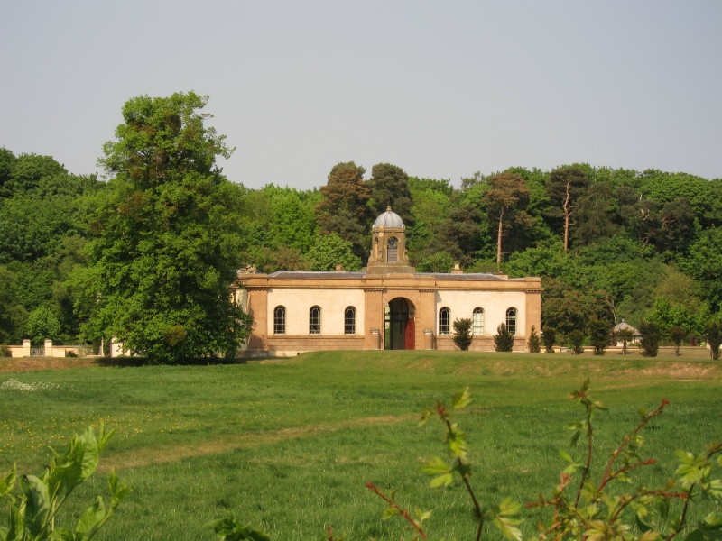
As the route takes us around three sides of Eye, we pass an early
16th-century building, now in farm use, previously part of the Priory of
St Peter.
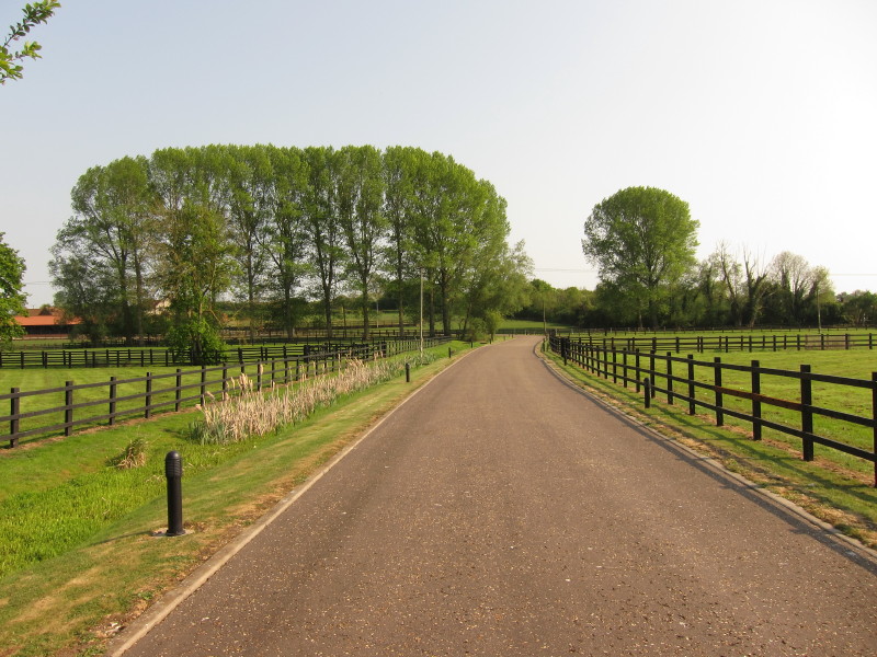
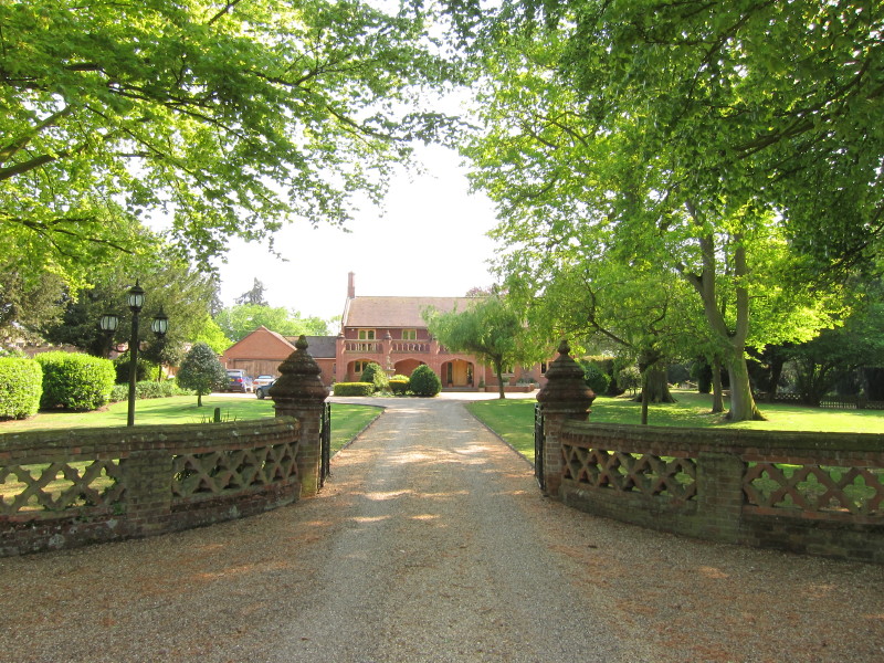
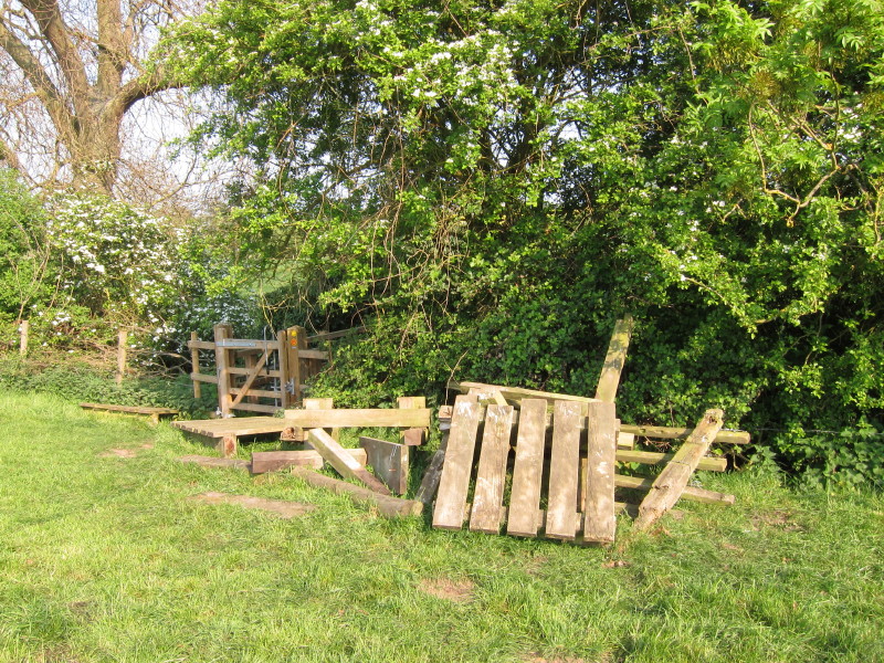
This somewhat imposing looking private drive is also a public footpath;
the route off to the right where the drive bends to the left wasn't
signed (unlike the rest of today's route, which was very well signed).
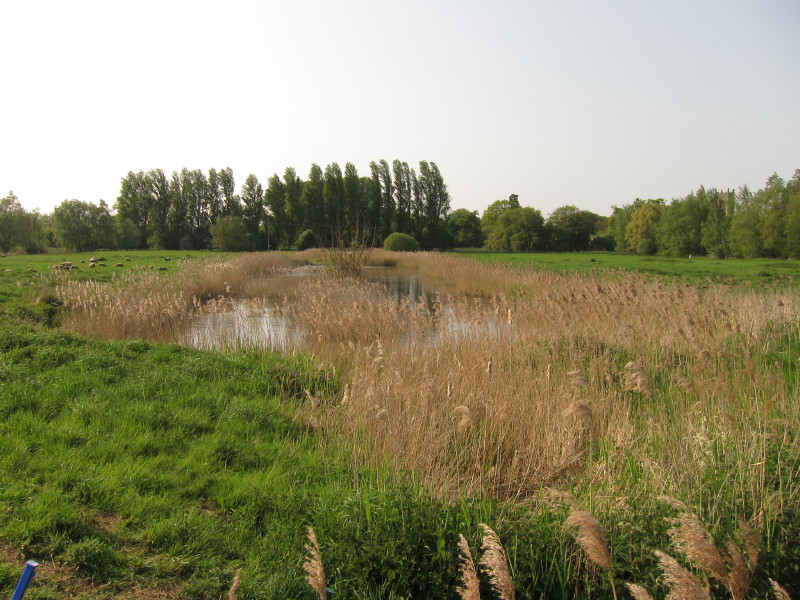
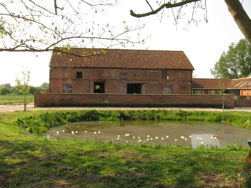
On either side of the B1077 are several of these long ponds, probably
once fishing ponds but now apparently returning to nature.
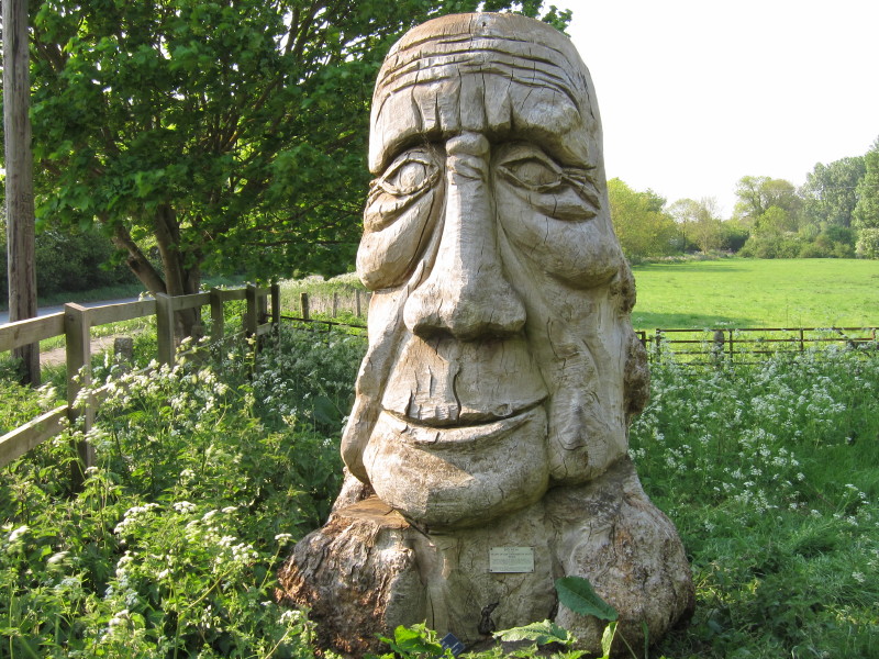
"Big Head", by the Hearts of Oak Organisation, part of the Hearts of Oak
Sculpture Trail. The little plaque doesn't reveal whether the head is
supposed to be anyone in particular or symbolic of anything, or perhaps
just a big head.
After passing those fishing ponds, we turned right and crossed a series
of very lush grassy meadows
And then the infant River Dove on a new bridge - the old bridge somewhat
untidily in evidence.
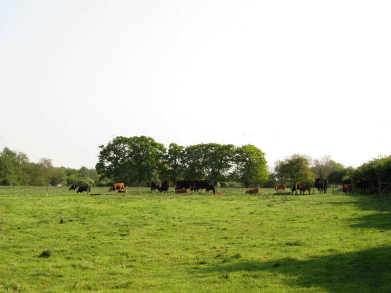
Continuing to parallel the Dove, we reached this field of cattle. A good
few of them approached the fence as we approached the gate on the far
right of picture. I didn't much fancy the traverse, particularly with
George, and so made a diversion along a field margin around Moorhall
Plantation onto a bridleway which brought us round to the other side of
that field.
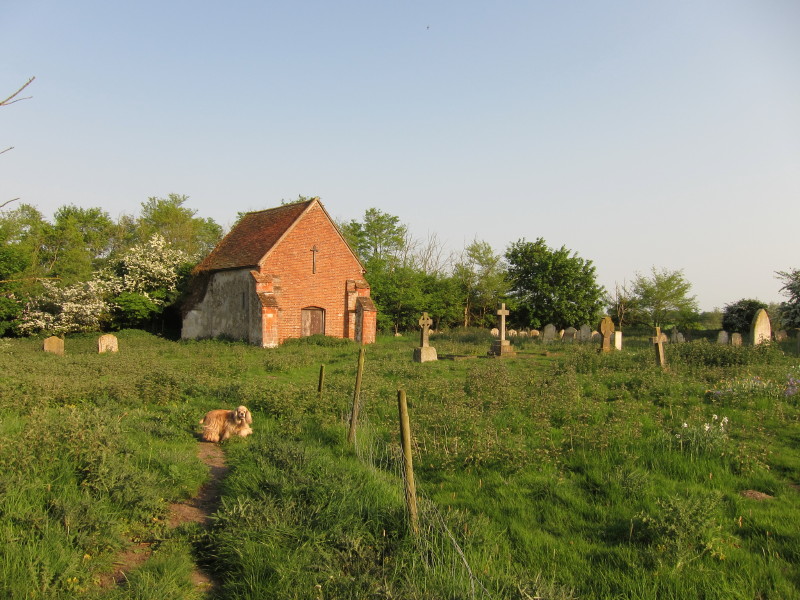
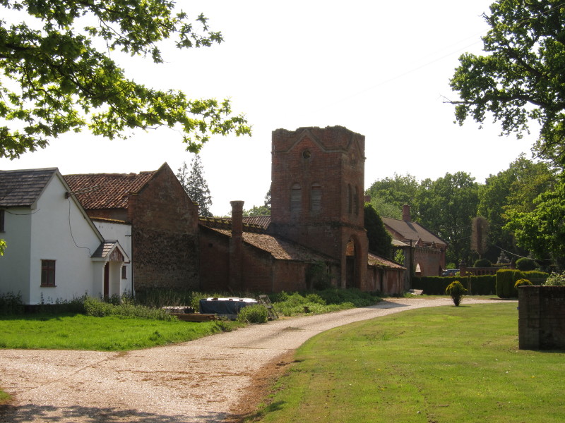
After passing through Church Farm, we find what is marked on the map as
"St Mary's Church (remains of)". Only the bricked-up chancel remains.
When the Victorians rebuilt Braiseworth church, as they did so many
churches, they did so up the road, with a new St Mary's incorporating
bits from the old one, including the two Norman doorways to the nave,
and the remains of the old St Mary's were left to decay, that decay
being somewhat halted by the construction of the end brick wall.
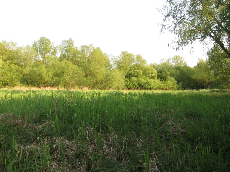
After crossing the Dove once again, and then again, we wander through
Ganderwick, an unexpectedly intimate section of mixed woodland and
little paths, where this reed bed would be tiresome to walk along in
damper weather, though was fine today after many weeks without rain.
And so we emerged suddenly into Thorndon along a road which reached the
main road by
the village pub, where Lucy picked us up.
Total 16.1 km in 4 hours 10 mins (including 15.3 km along the Mid-Suffolk
Footpath).


|