North Downs Way:
Etchinghill to Dover
(and Saxon Shore Way Sandling to Dover)
4 May 2009
After nine walks from Farnham to Etchinghill (although not all in the right
order), the time has come for the final walk on the main line of the North Downs
Way, taking Stephen to the National Trail's conclusion, in Dover.
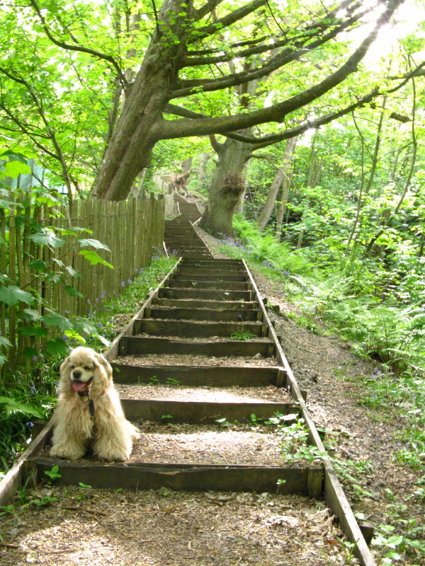
The start of today's walk was the railway station car park at Sandling (free on
public holidays), from where we follow a disused railway line for a short while
through Heane Wood. Where the railway went through a tunnel, we climb steeply.
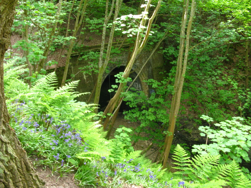
Looking down past bluebells to the tunnel entrance. From here we join the Saxon
Shore Way, which we will be following all the way to Dover.
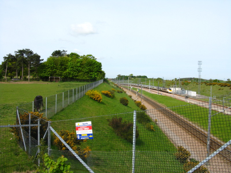
A Eurostar approaches the Channel Tunnel on High Speed 1.

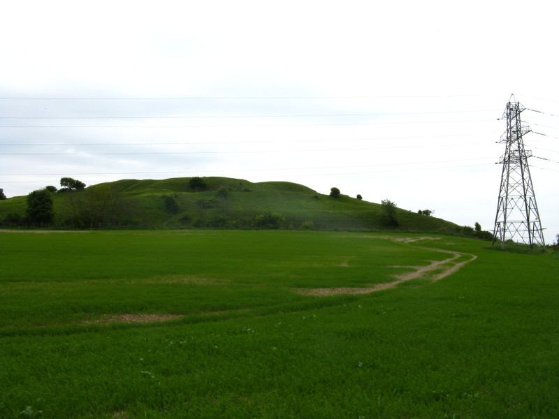
Heading towards the escarpment of the North Downs, and Tolsford Hill in
particular.
Climbing the byway up Tolsford Hill
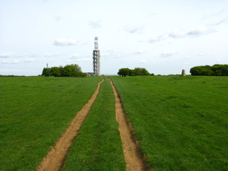
The byway to Swingfield (Tolsfield Hill) Radio Station, where we will finally
reach the North Downs Way. When we were here in February, it was snowing.
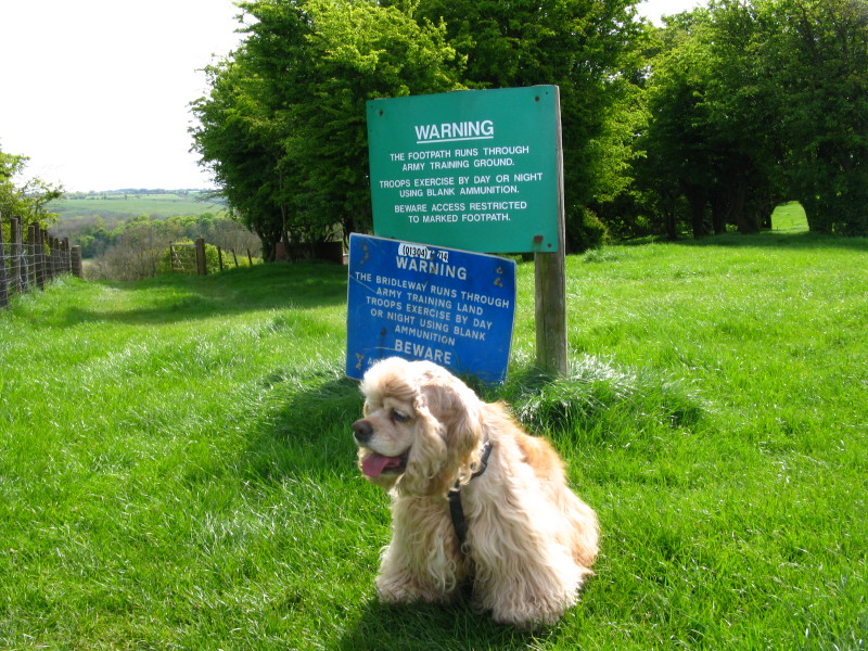
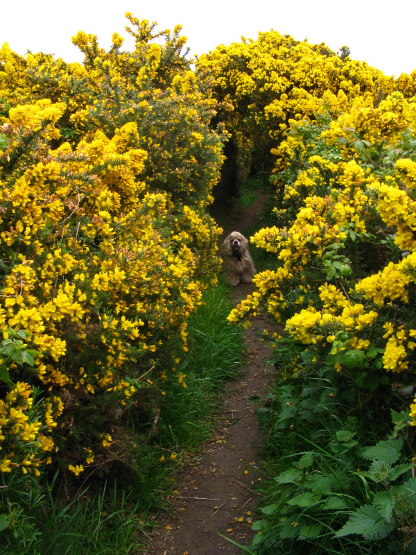
George, perhaps a bit unsure about the warning signs. They would have been more
helpful if the "marked footpath" wasn't so difficult to find at this point.
Looking back across the bay to Dungeness and its nuclear power station
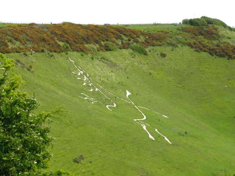
The Folkstone White Horse, dating from only 2003, is carved into Cheriton Hill and overlooks the English terminal of the Channel Tunnel.
Caesar's Camp on Castle Hill. Despite the name, it is a Norman fortress, with no
evidence that Caesar or the Romans generally ever had a camp here.
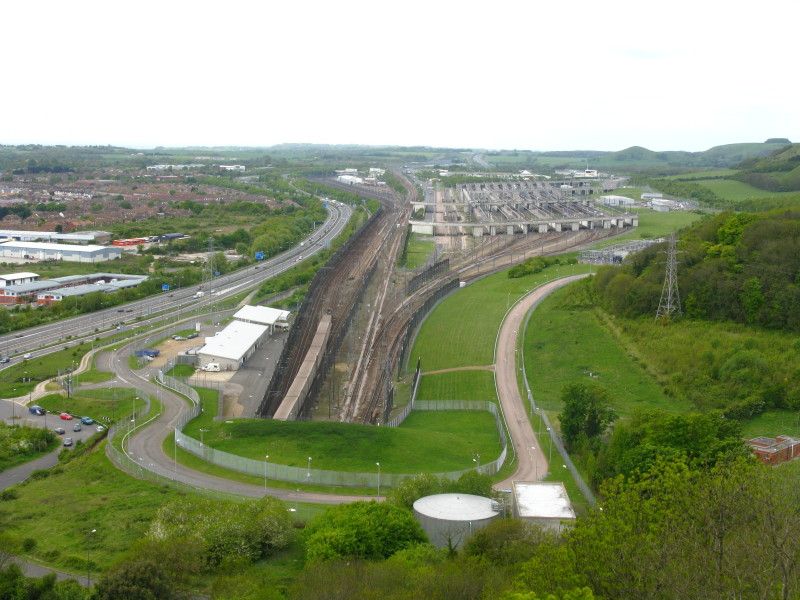
From Castle Hill, looking down on the Channel Tunnel terminal as a lorry shuttle
emerges from the Tunnel.
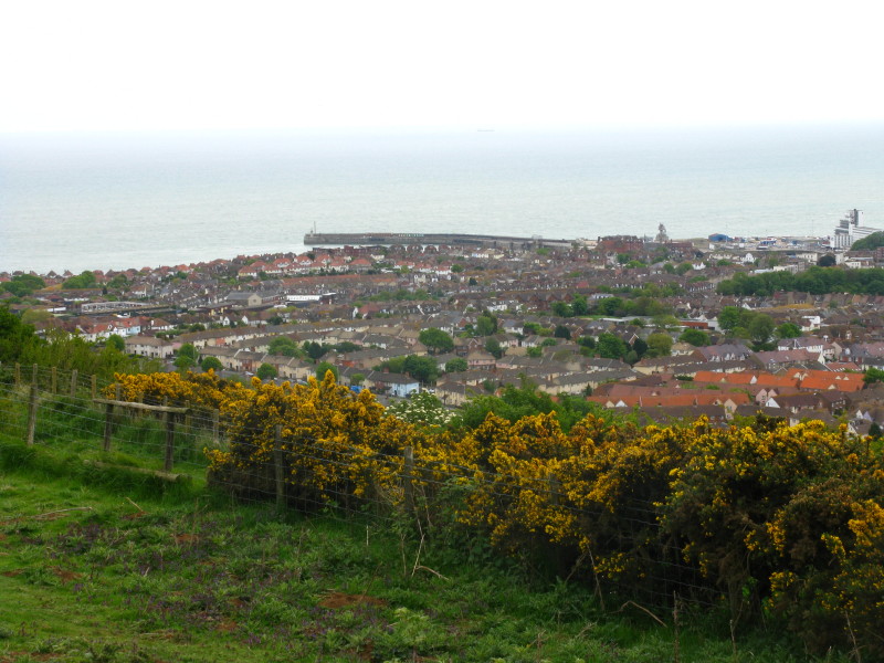
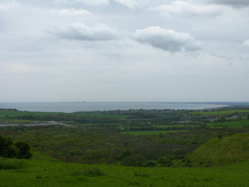
Looking across Folkestone to its harbour from Dover Hill
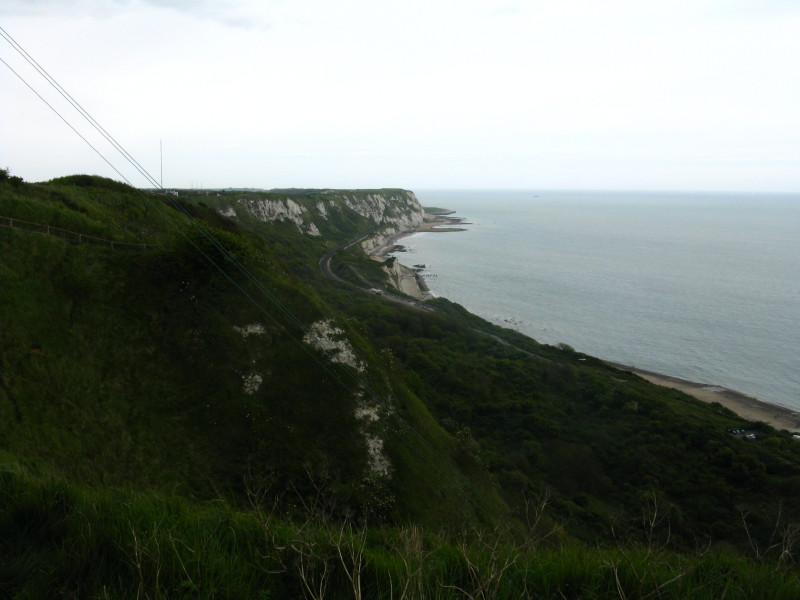
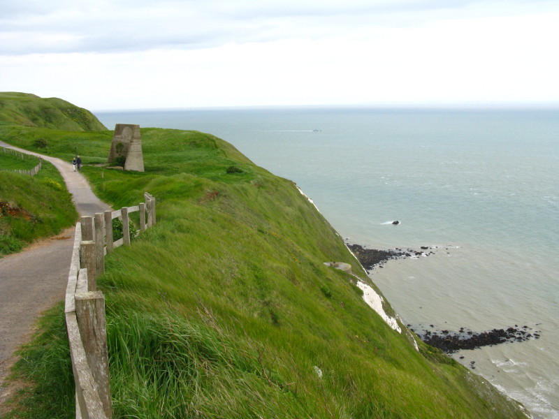
The rest of the walk is along the cliffs, as the North Downs meet the English
Channel.
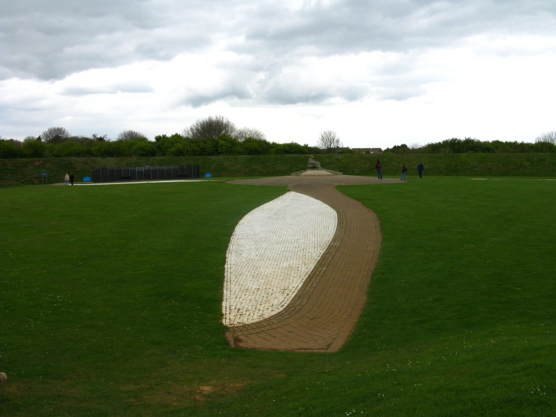
The National Battle of Britain Memorial, opened in 1993. The memorial is in the
shape of a giant three-bladed propeller carved into the ground. The surrounding
grassy banks are said to give the impression of pilot's leather flying helmet
and earphones, but unlike the propeller, the more subtle features are presumably
only apparent from the air.
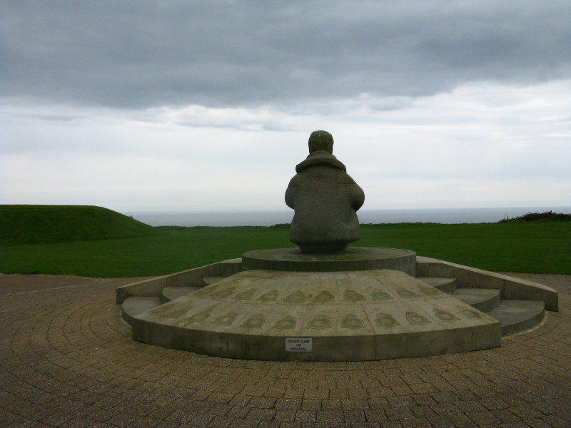
On the propellor boss is the statue of a lone airman looking out to sea. Carved
on the boss are the Squadron badges of the RAF units which took part in the
battle.
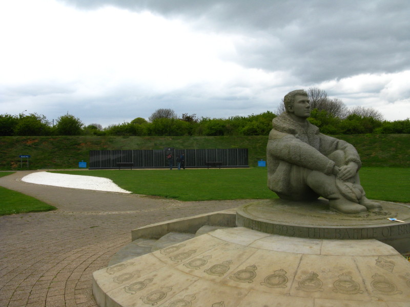
The memorial wall with the names of the 2936 airmen (including 595 non-British)
who flew in the Battle of Britain.
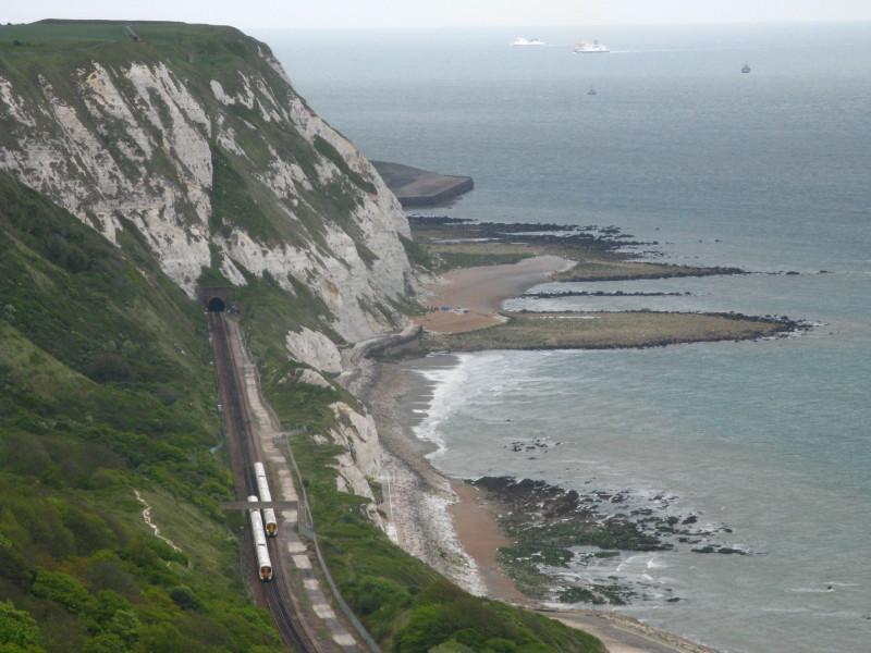
Looking ahead to Abbot's Cliff and the railway tunnel, with two trains passing
below Eagle's Nest
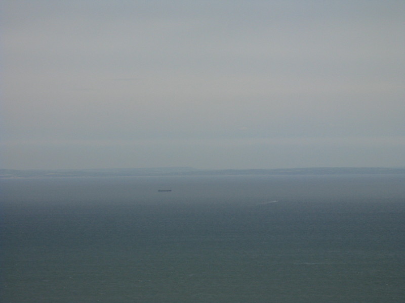
For the whole walk today, France was looming large on the horizon, 40 to 60
kilometres away. Sadly it doesn't come out well in the photos.
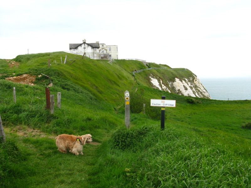
George checks out the "caution cliff edge" sign with due caution. He was kept on
the lead attached to his harness and my belt on the more hazardous sections.
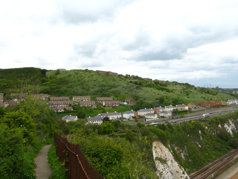
As we approach Dover, the frequency of old military ruins increases
More military detritus
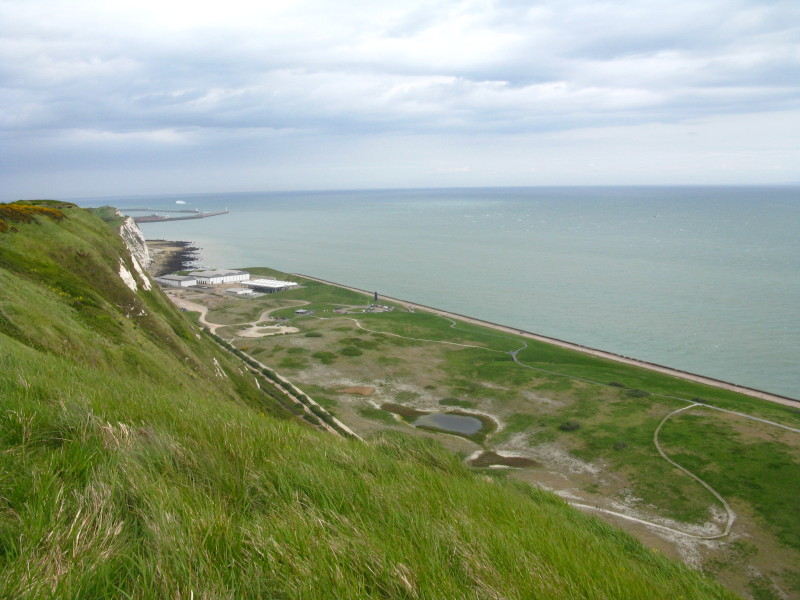
Looking down on Samphire Hoe Country Park. The land is formed from 4.9 million cubic metres of chalk
marl dug to create the Channel Tunnel - which at this point, although it has now
been underground for 8 kilometres, hasn't yet ventured under the sea, and runs
near our feet. The new land is already home to nationally rare plant species
including the Early Orchid Spider.
George on the coast path

The path began to cling to an increasingly narrow ridge of chalk
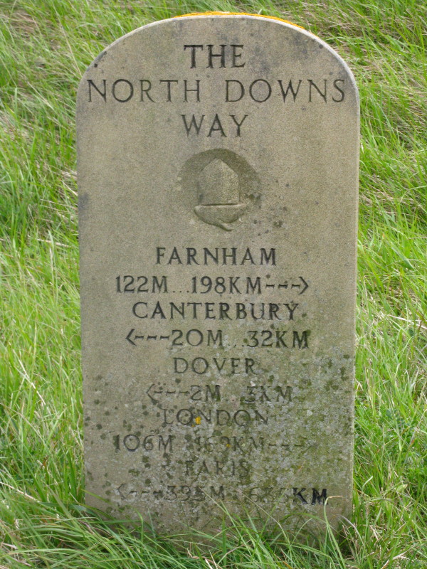
Almost there - and only 635 kilometres to Paris!
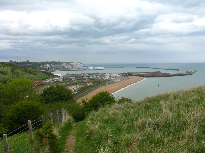
That narrow ridge of chalk finally runs out, leaving a view of part of Dover,
from the castle to the port
We descend to cross the A20 before ascending again onto the Western Heights
The quality of the scenery is deteriorating
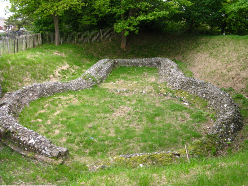
The foundations of a small Knights Templar church, traditionally held to be the
site of King John's submission to the Papal Legate in 1213. It was uncovered
during excavations for building work on the Western Heights in the 19th century.
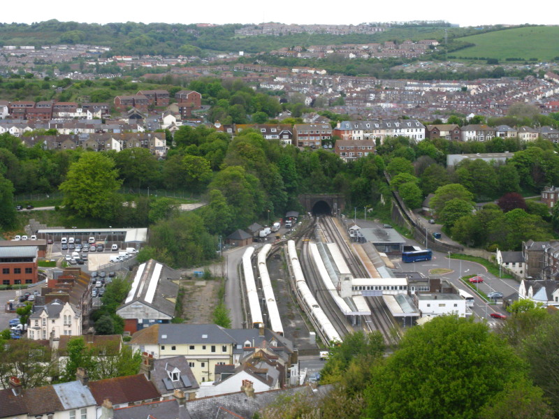
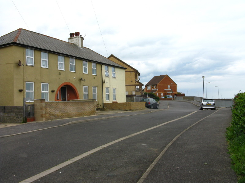
Looking down on Dover Priory station, the end of today's walk
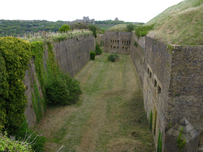
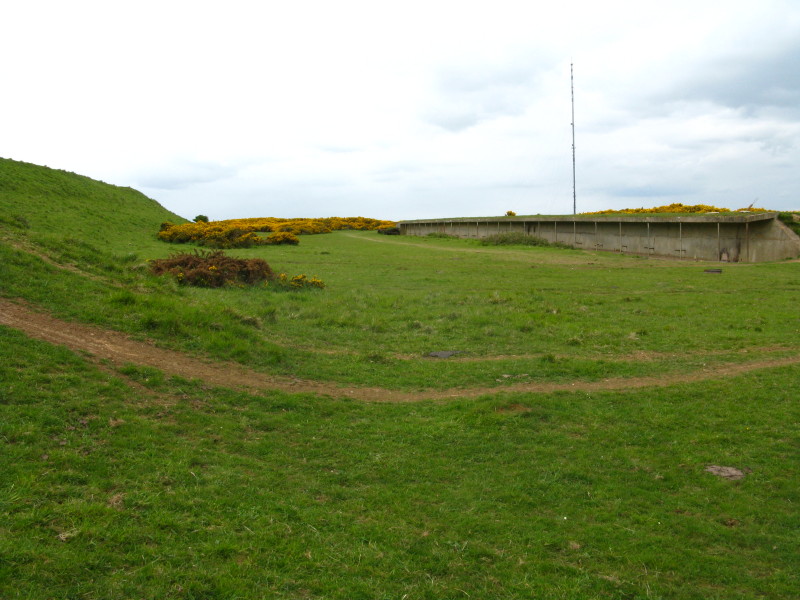
The Drop Redoubt, part of the fortifications of the Western Heights. It was
constructed in 1804/5 during the height of the threat from France, but of course
never tested. It was abandoned in the 1920s, though used again in the World War II by
commandos.
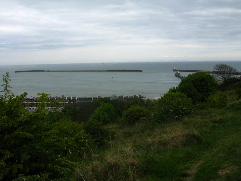
Looking out over the harbour to France
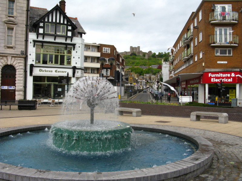
And this is it - Market Square, and the end of the North Downs Way. I've done my
best to make it attractive with the fountain and the Castle, but quite frankly
it is a significant anticlimax. Surely at least a sign could be erected, and
preferably a suitably evocative sculpture. Or the terminus could be relocated to
somewhere looking out to sea which would be appropriate as the North Downs
disappear under water.
"To travel hopefully is a better thing than to arrive"? Well, not quite. But
after a great journey, with some stunning scenery and interesting locations en
route, this is a sad end, surrounded by run-down Dover and take-away shops.
From here it was a short walk to Dover Priory station and the train back to Sandling.
Total distance on the GPS was 25.2 km (20.9 km on the Way) with 781m ascent, in
6 hours 22 minutes
That completes the mainline of the North Downs Way,
though still leaving the Canterbury loop to come back and do some time. It has been a great walk, 201 kilometres (125 miles) exploring the subtle
beauty of south-east England from the chalk spine of the North Downs.


|