Black Hill, Peak District
7 August 2004
On an August Saturday with the temperatures heading towards 30°C, Stephen
and George went for a walk up Black Hill in the northern Peak District
Starting from the hamlet of Crowden-in-the-High-Peak in Longdendale, the route
took us up the Pennine Way, and as we climb the valley of Crowden Great Brook,
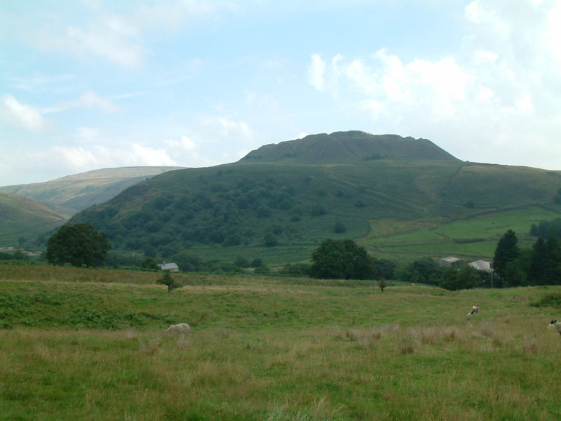
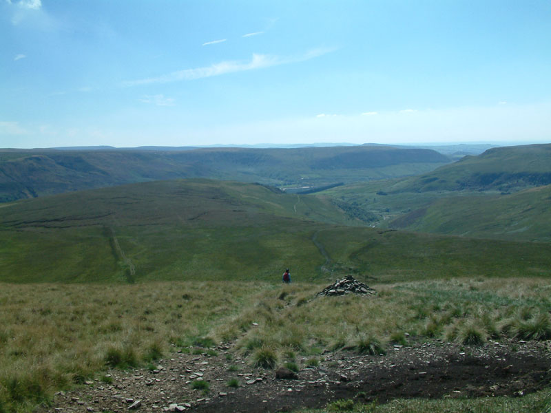
here we look east to Hey Edge, from where we will descend five very hot hours
later
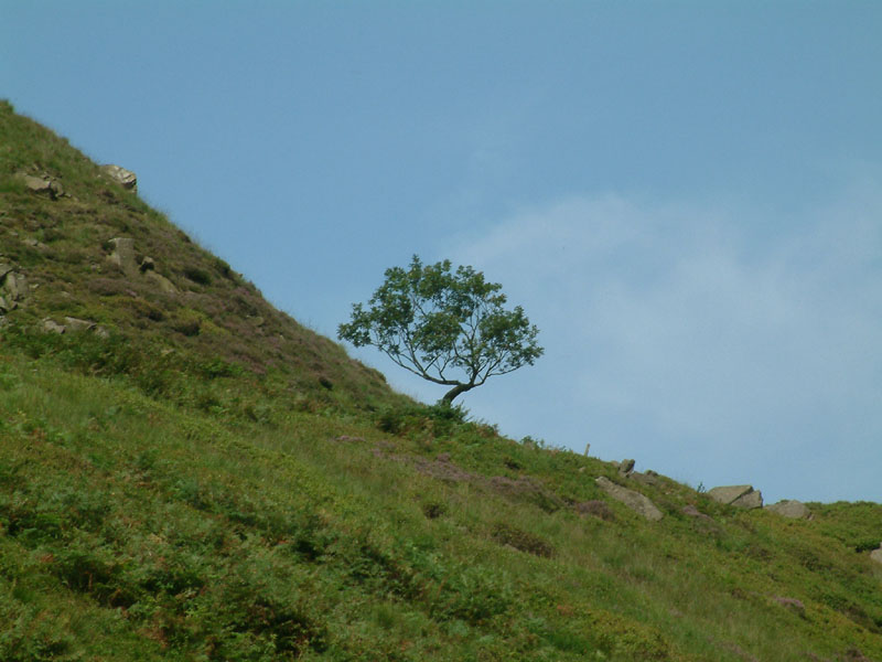
The last tree for some hours, meaning no shade!
George and the valley of Crowden Great Brook, with the crag of Laddow Rocks on
the skyline our first major target
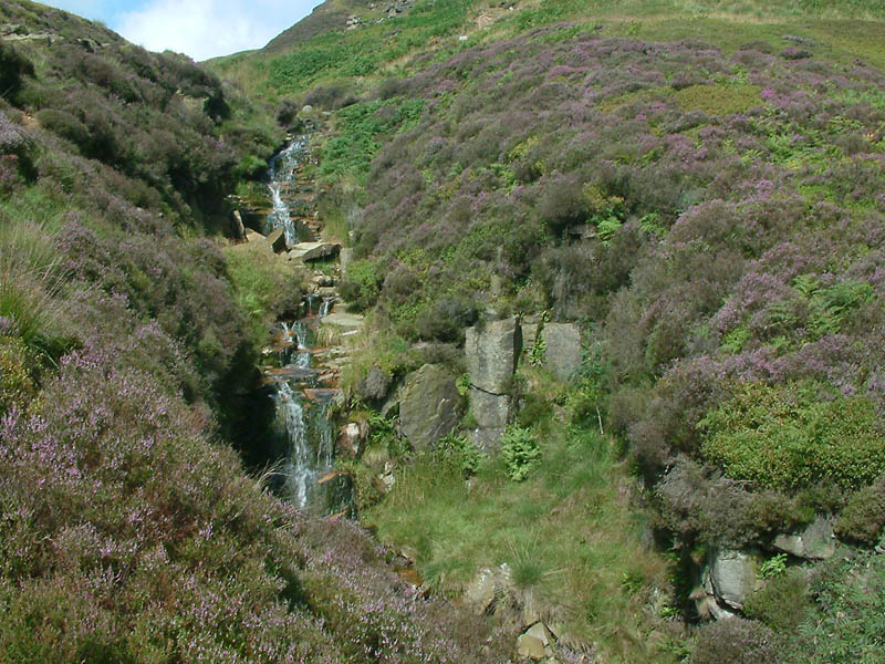
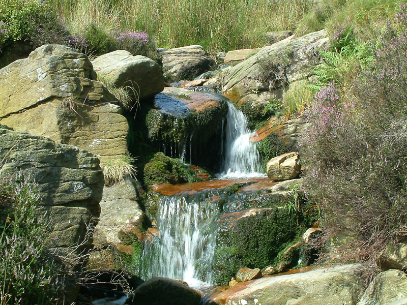
Many streams descend the valley side, cascading appealingly among the heather
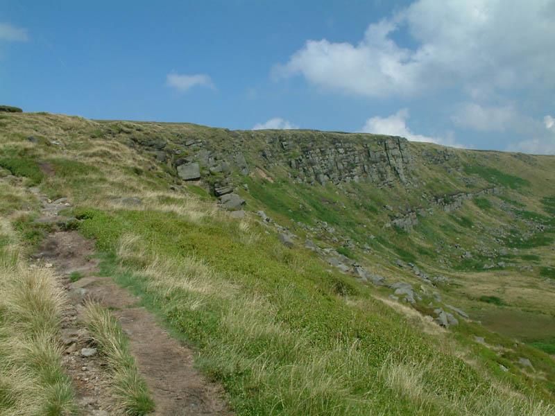
Nearing the summit of Laddow Rocks
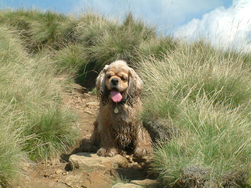
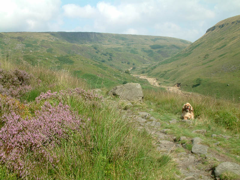
George, glad of a quick breather
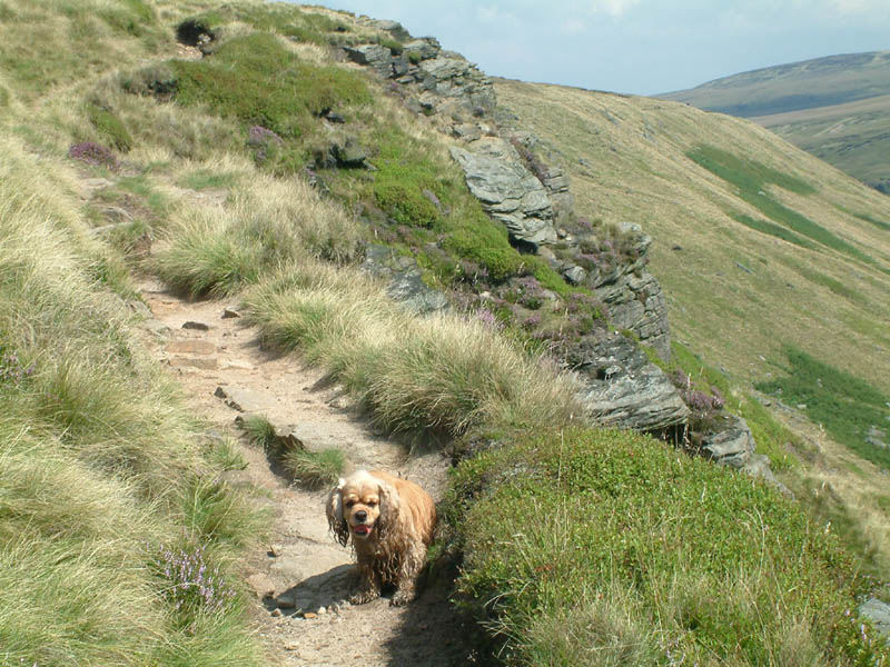
Walking along the edge of the Laddow Rocks crag
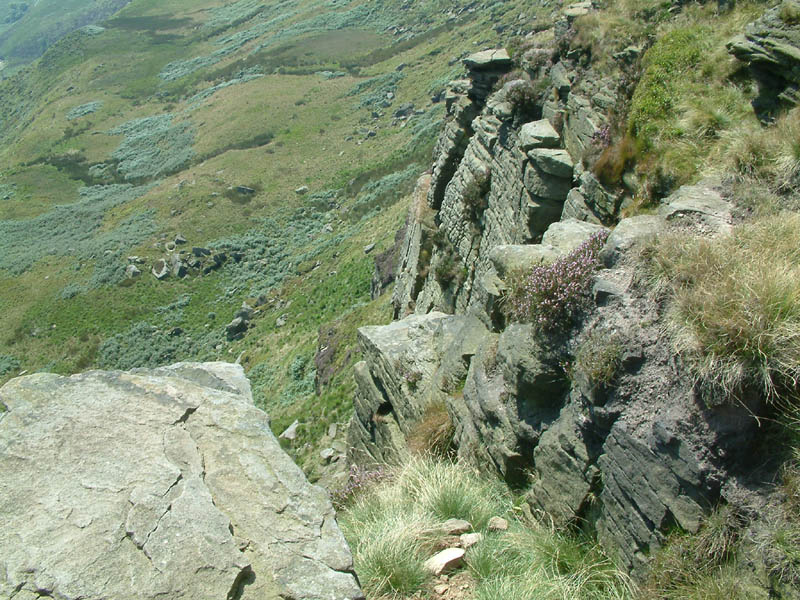
Don't get vertigo!
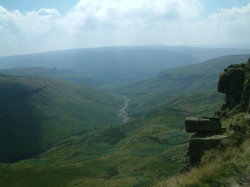
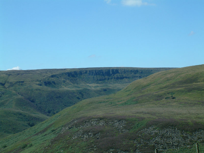
Looking back down Crowden Great Brook to Longdendale from Laddow Rocks
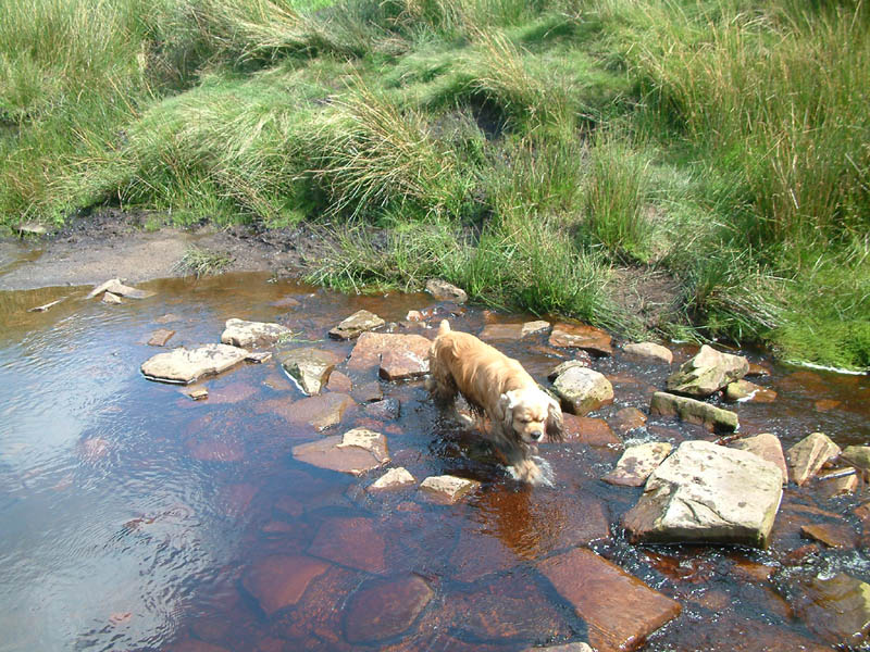
Our path descended gently to the Brook, and crossed it several times in an
effort to keep to the easiest ground
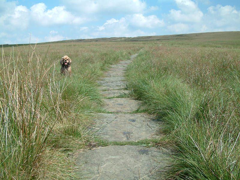
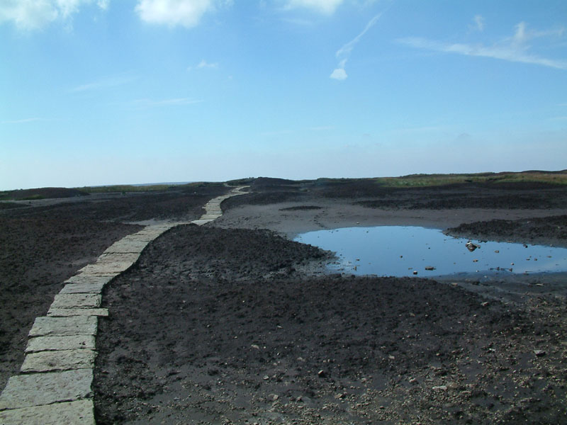
George by a paved section of the Pennine Way. These large stones, originally
from the floors of mills, were flown in by helicopter to reduce erosion on this
popular path and to help crossing some of the damper areas.
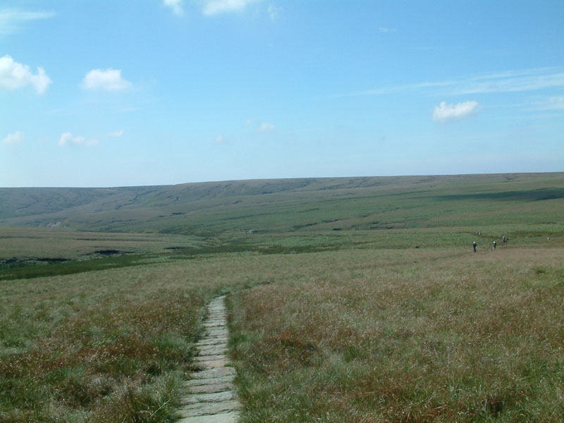
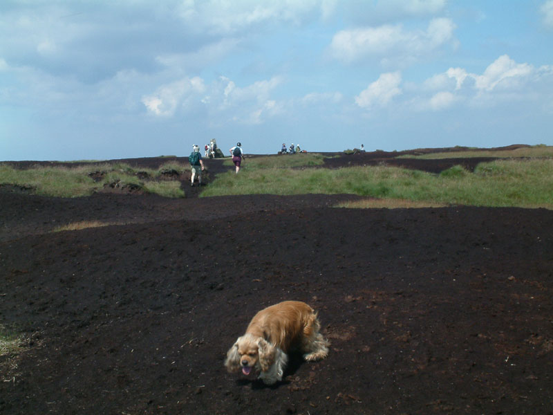
Looking back down the Pennine Way as we climb up Grains Moss towards Black Hill
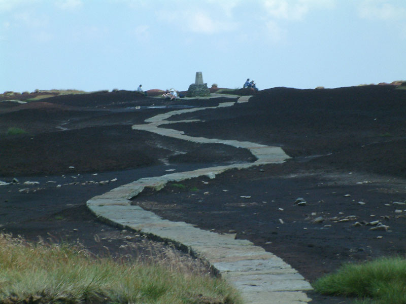
And as the trig point on Black Hill comes into sight, one starts to see both
where it got its name, and the value of the millstones at times when it isn't so
dry as it was today
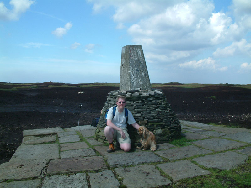
Stephen and George at the trig on Black Hill (582m/1909ft).
Turning off the paved Pennine Way, we started to cross Black Hill towards
Tooleyshaw Moss, here looking back to the trig point
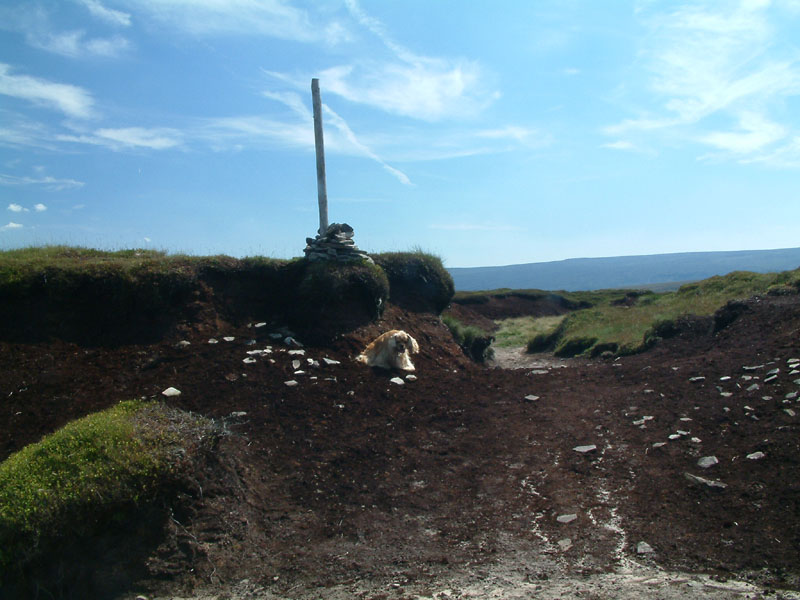
The edge of Tooleyshaw Moss and the start of the descent.
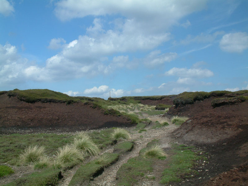
Looking back to the post in the previous picture
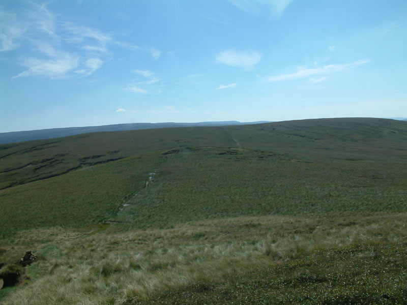
From the edge of Tooleyshaw Moor looking to White Low. This half of the walk is
not one I would recommend doing after rain, as despite it being fairly dry for
some weeks, it was still necessary to make a number of detours to avoid bogs
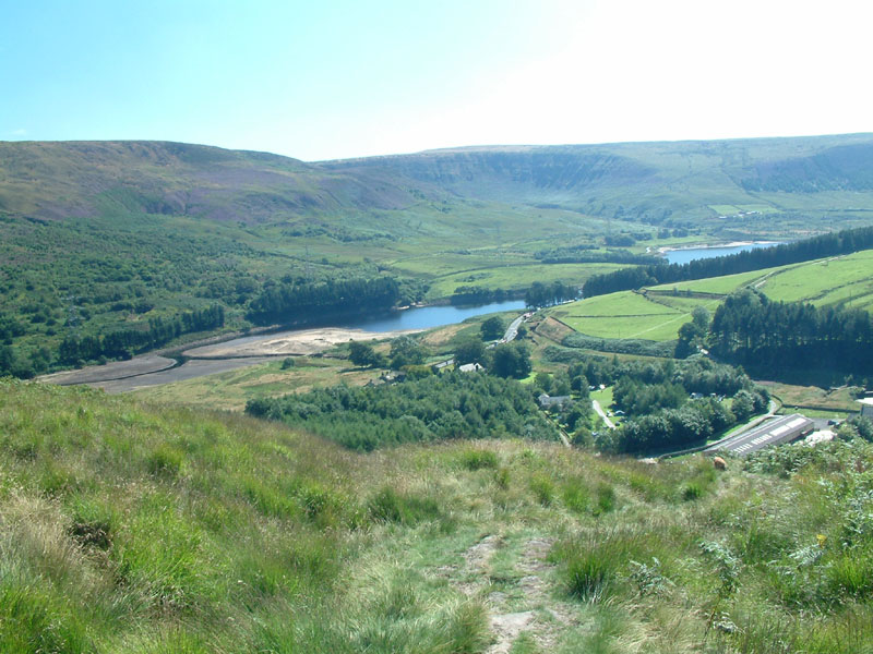
From Westend Moss, the reservoir in Longdendale just peeks into view beyond Hey
Edge, and we are on the home straight
Looking back across Bareholme Moss to our route earlier in the day, ascending
from the left up onto the top of Laddow Rocks
The tail of Torside Reservoir and the farm near Crowden - only one steep descent
to go
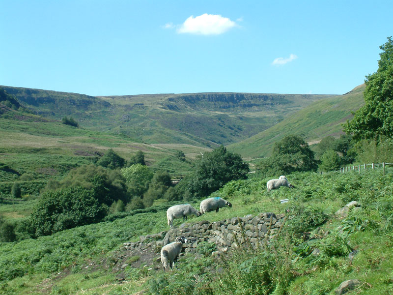
A last look up to Laddow Rocks, and time for an ice cream from the handily
situated Crowden camp site.
|