Peak District: Stanage Edge, Burbage Edge and various moors
2 February 2014
Every now and then a Saturday is clear in the diary, the
weather forecast is good, and the mood takes me, and I head off somewhere a bit
further away than usual. It's been over a year since my last visit to the Peak
District, and it has been a truly soggy winter for walking, but today looked
like I might have a decent chance of a good walk. It was a difficult start to
the journey, with the new car failing to start and needing jump-leads from the
other car: in truth it was probably a bit unwise to venture out in such
circumstances, but I deliberately chose to park the car somewhere busy and
packed the jump leads so that I could, if necessary, repeat the exercise later
in the day.
Most of my Peak District outings are on the southern or
eastern edges, to minimise travelling time. Today I went a little further north,
but being just west of Sheffield it was still within a reasonable distance of
the A1.
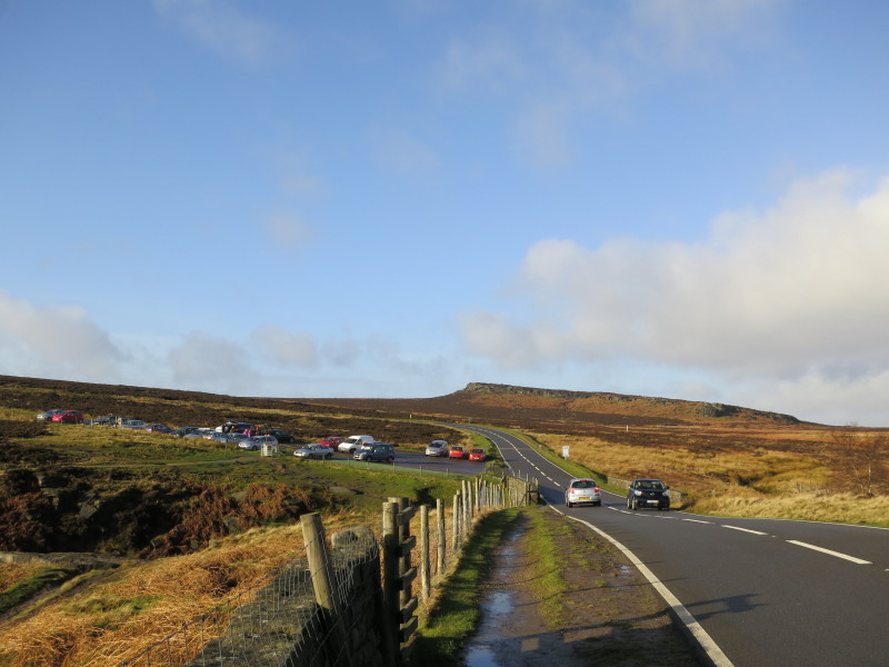
I parked by Upper Burbage Bridge (our new silver car is next to the two red
ones), and we walked briefly along the road before taking the footpath southeast
below Burbage Rocks
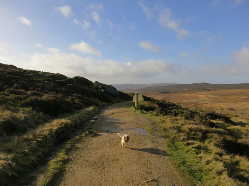
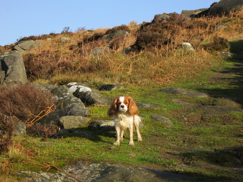
Lottie comes back to fetch me, as we make an easy start to the day with a long
gently downward-sloping well-maintained footpath to ease us in.
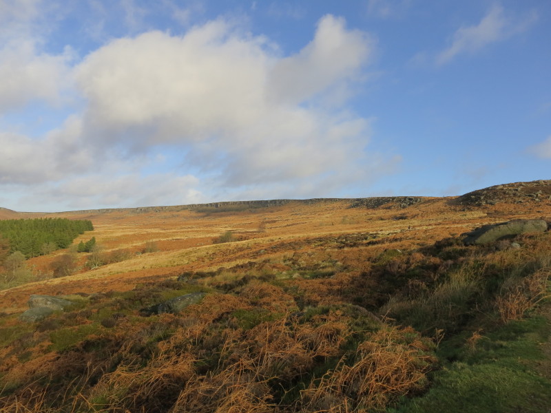
A look back at the escarpment edge of Burbage Rocks which we've walked beneath
Just short of the main A6187 road, we turned back on ourselves and started to
gain a little height
I'm hanging back a little here, to keep out of the way of a big party of walkers
ahead, and hoping that they go straight on when we will be turning sharp right
shortly
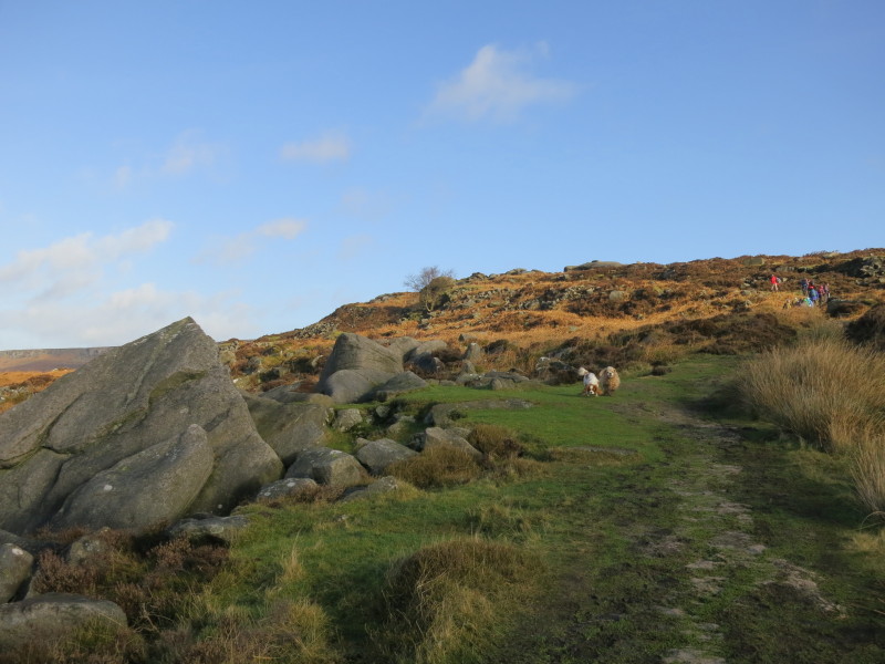
Lottie and George having fun while I walk slowly
Ah, that's better, the moor to ourselves again as the big party have gone the
other way.
After passing the Fox House Inn, we take to the Houndkirk Road, an old route
across Houndkirk Moor, now replaced by more modern routes lower down the moor.
It is still a byway, so we need to keep our wits about us and move quickly out
of the way of noisy off-road motorbikes from time to time.
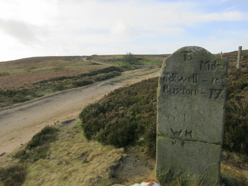
An old milestone shows us that we are 10 miles from Tideswell and 17 miles from
Buxton. Our way lies in the other direction, however, heading towards Sheffield
before turning north and crossing the Ringinglow Road
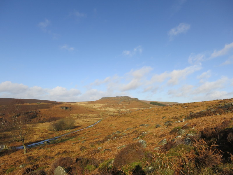
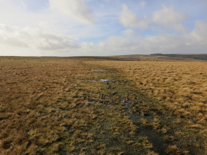
From the Ringinglow Road, the damp section of the walk really commenced, and it
was a squelchy walk across the open moor to this point
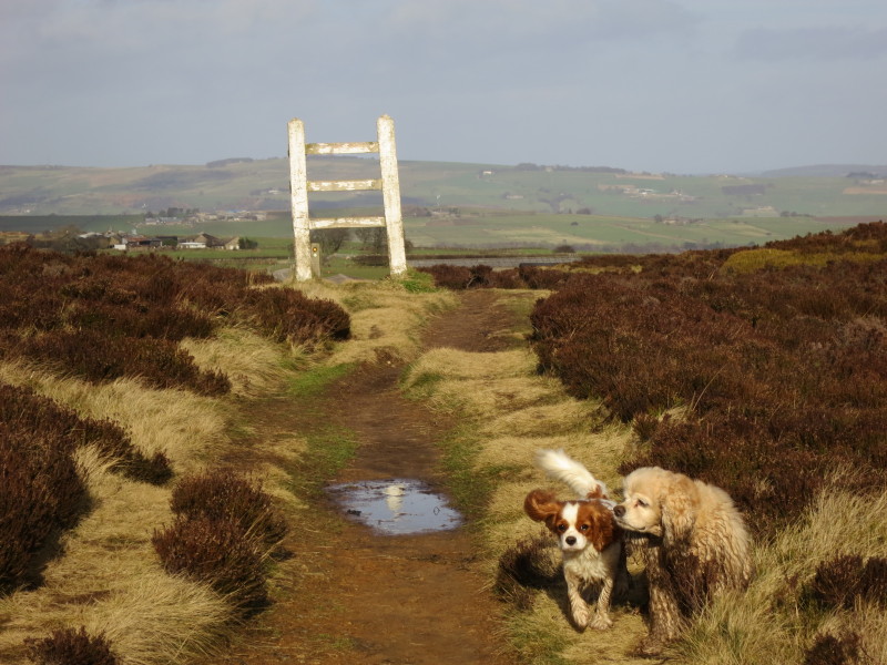
We then had a more cultivated interval before leaving the road here over the
ladder stile, the first of several that neither George nor Lottie were terribly
keen on
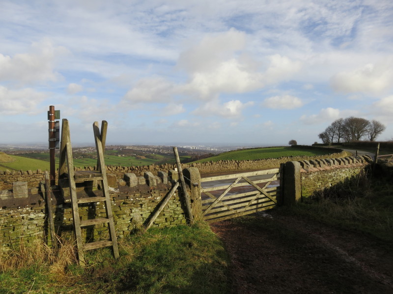
Across Rud Hill it is a permissive route rather than a public footpath, and
although the way was clear, the going underfoot was a bit tedious in places.
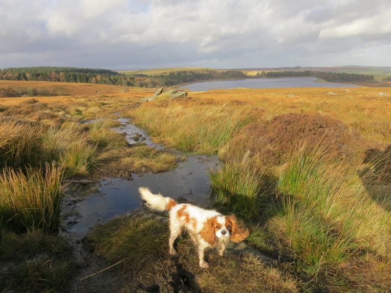
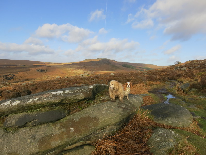
Lottie shows the path, with the uppermost of the Redmire reservoirs behind her.
We descended almost to the reservoir...
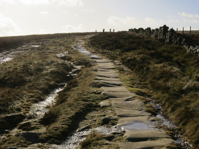
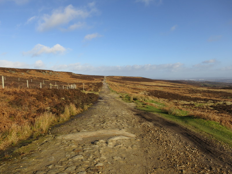
...and then regained height on another byway, but this one closed to motor
vehicles for the time being. The long row of eroded slabs on this old packhorse
road known as the Long Causeway or Long Causey made for easy going
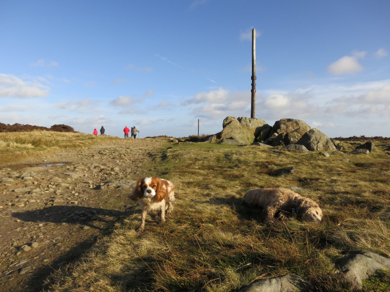
Stanage Pole is an ancient boundary marker and where we cross from South
Yorkshire into Derbyshire. A pole has been here since at least 1550, and the
rocks at its base show the initials of those who have erected replacement poles
over the centuries.
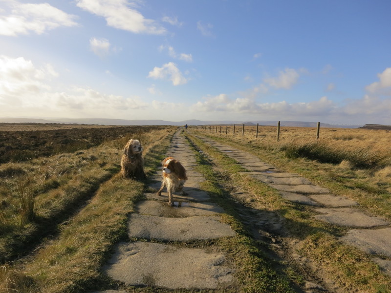
George and Lottie as we continue along the Long Causeway, mostly easy going, but
in one place I was forced to cling to the fence to avoid wet feet, and a slip
brought me both muddy trousers and a cut hand from the barbed wire of the fence.
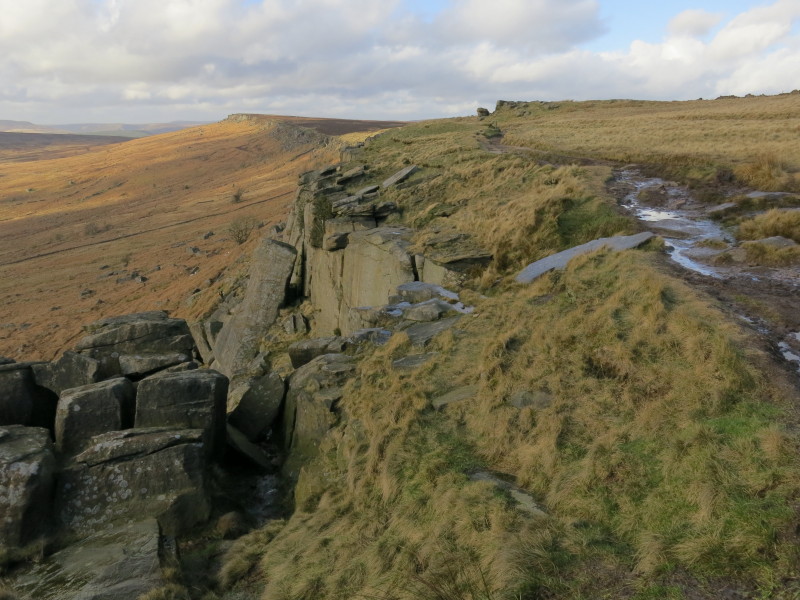
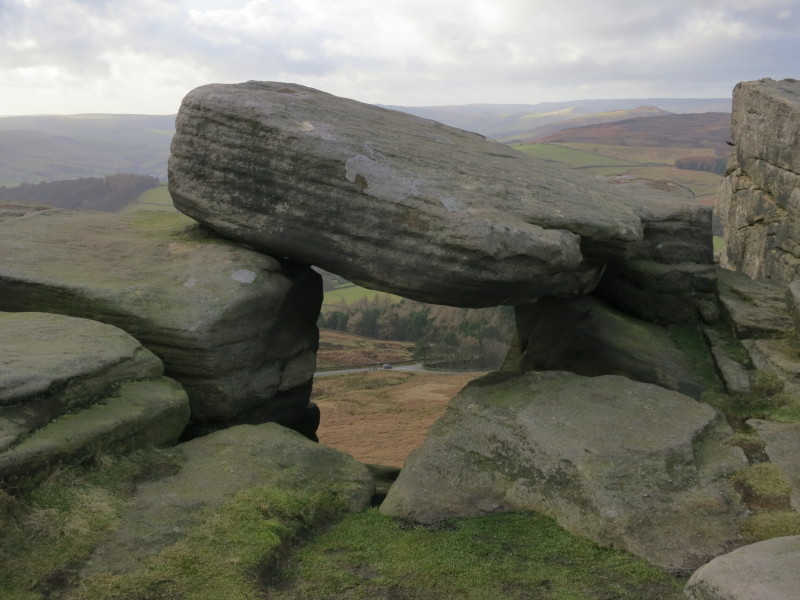
Stanage Edge forms the edge of the escarpment, and here the Causeway bears right
while we turn left along the Edge (behind the photographer)
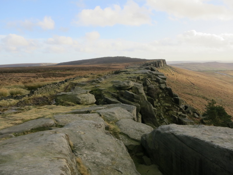
Heading along Stanage Edge
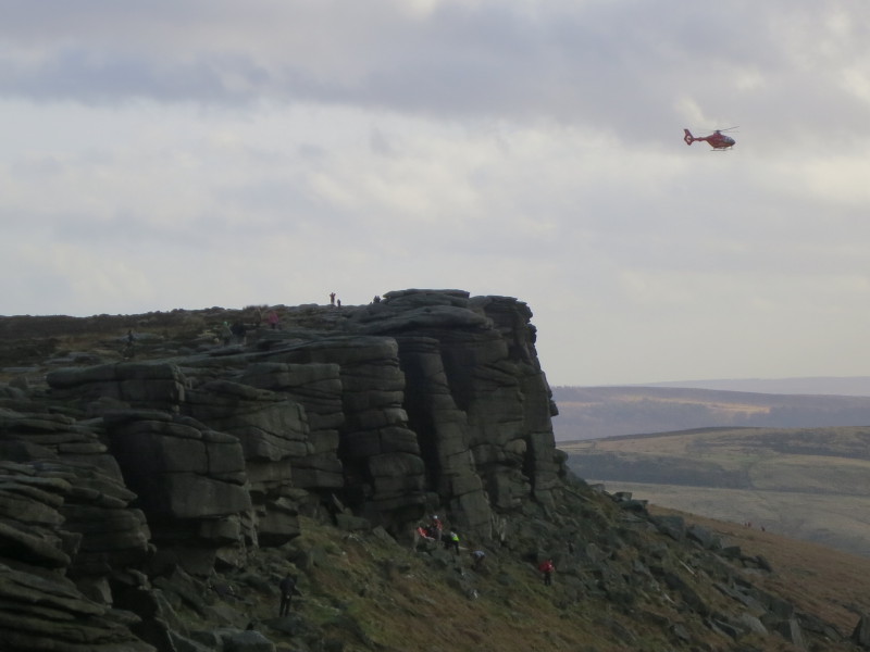
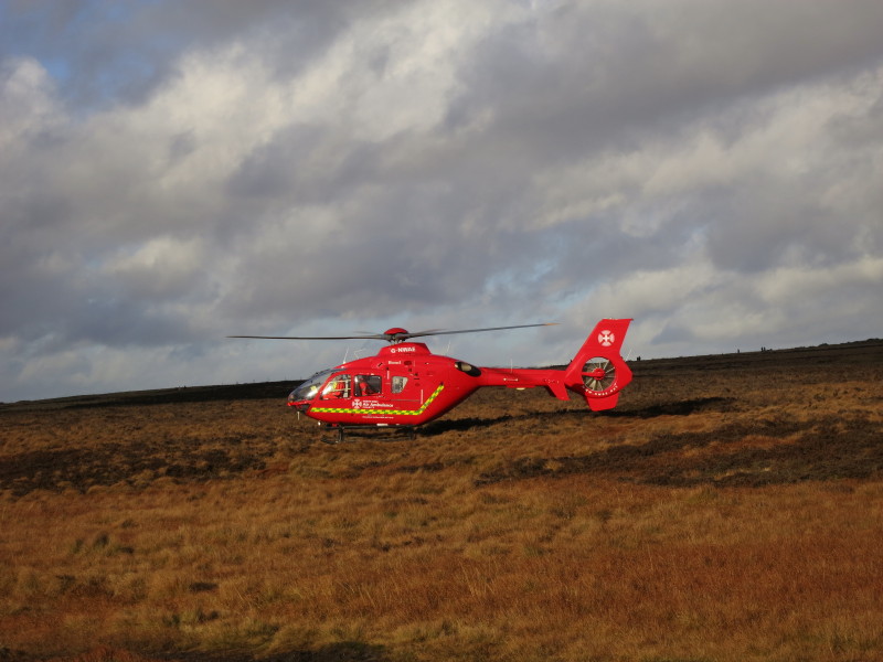
Climbers at the base of the rocks, and a helicopter which flew about, landed at
the top, took off, and landed at the bottom
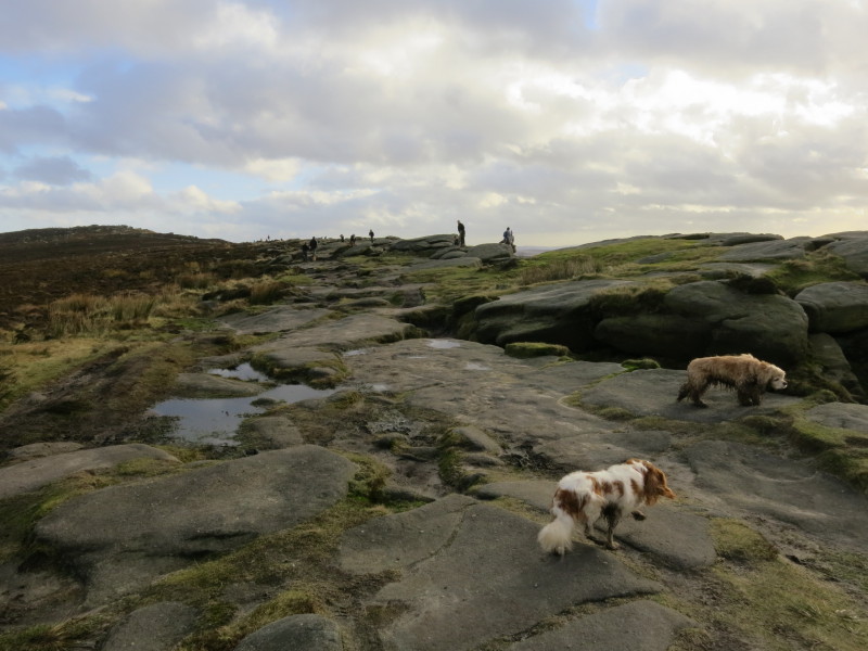
Two dogs exploring
A look at the road 120 metres below
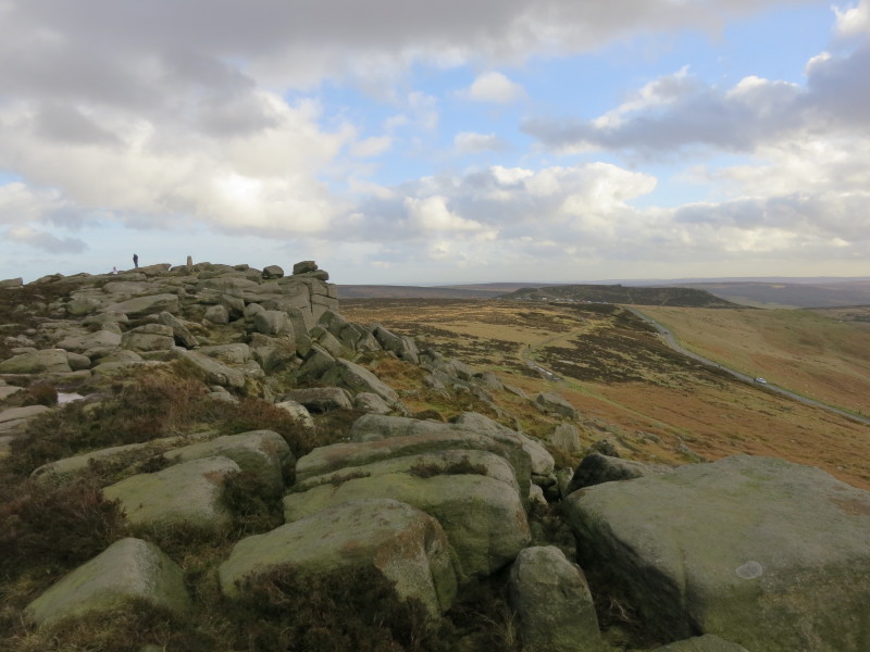
Glimpses of cars in the distance show that we are nearing the end of our walk.
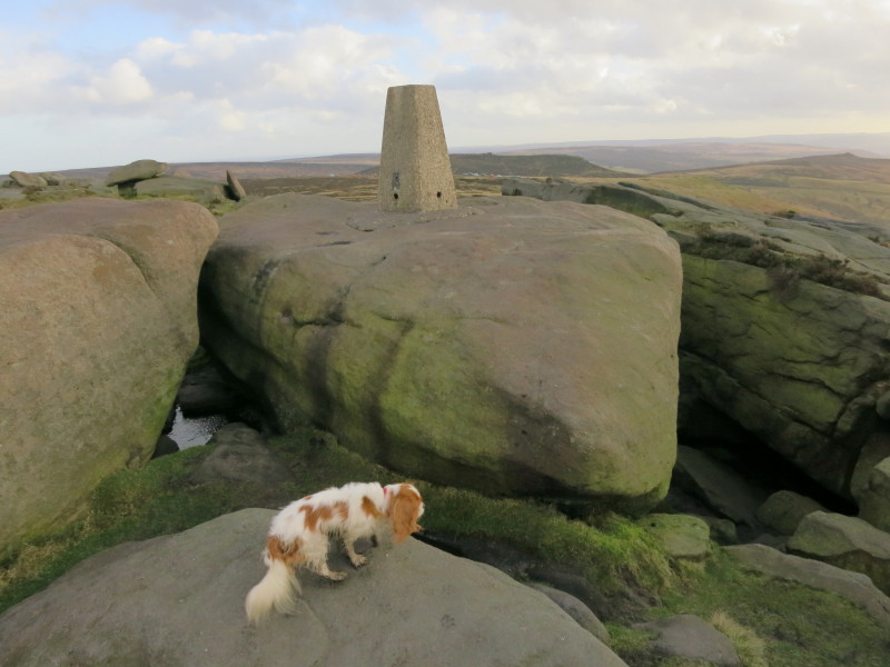
The trig point is at 457 metres, the high point of our walk. Lottie explores
carefully.
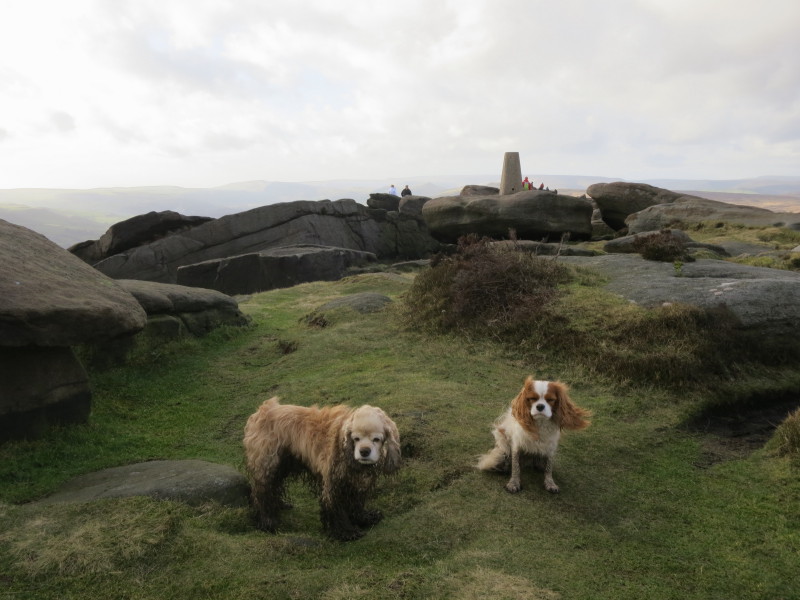
Ah, firm ground, though they don't look much more cheerful.
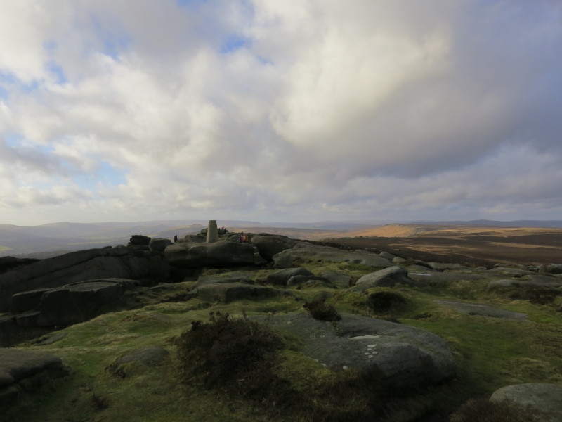
A last look back at Stanage Edge before we return to the car.
Total distance 16.8 km and about 380 metres of ascent in 4 hours 52 mins
|