Ridgeway - Ogbourne St George to Kingston Lisle
5 July 2008
With Lucy taking Ellie and Henry to a dog show in Chippenham, Stephen and George took advantage
of a lift to return to the Ridgeway National Trail for the first time in 14
months, picking up where they left off at Ogbourne St George.
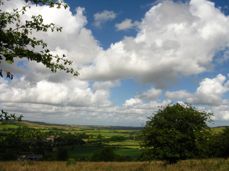
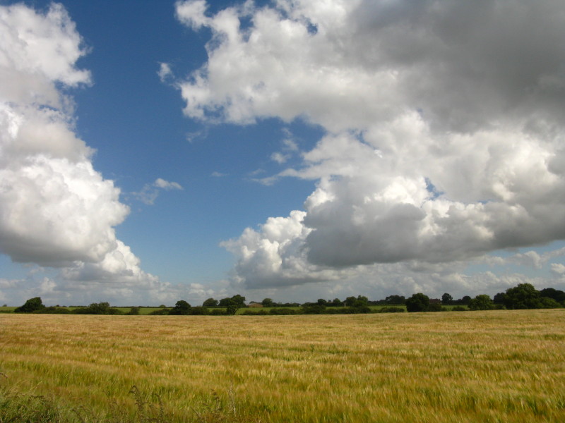
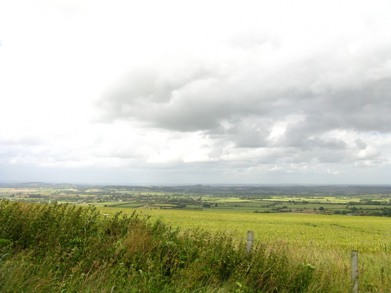
As we climb away from Ogbourne St George, the views of the Og valley are
delightful
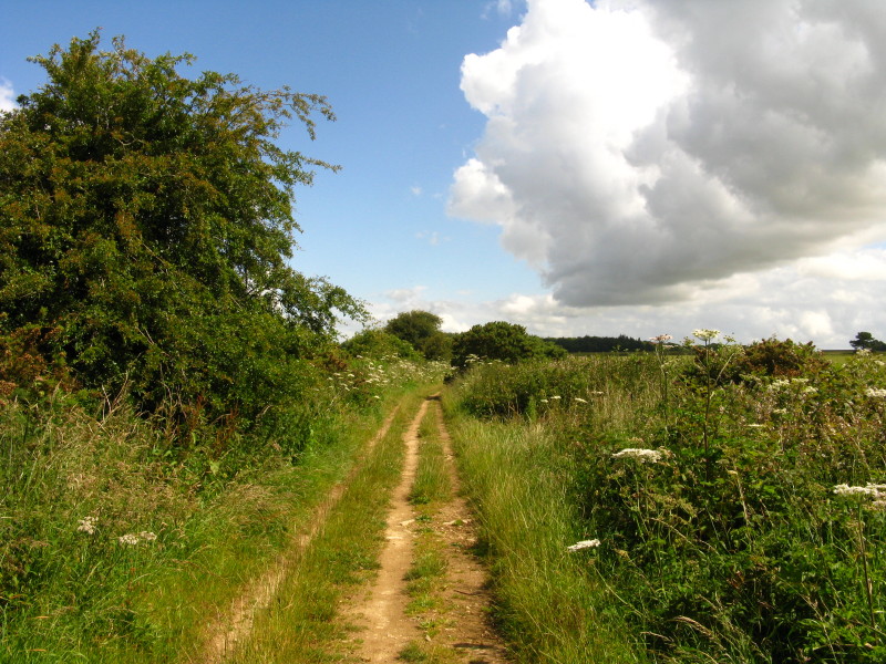
Gaining the ridge, we find one of the many forms of the Ridgeway: while most of
it is a track, it varies from deeply rutted and muddy to this pleasant green
lane, to hard surface, to tarmac.
More views
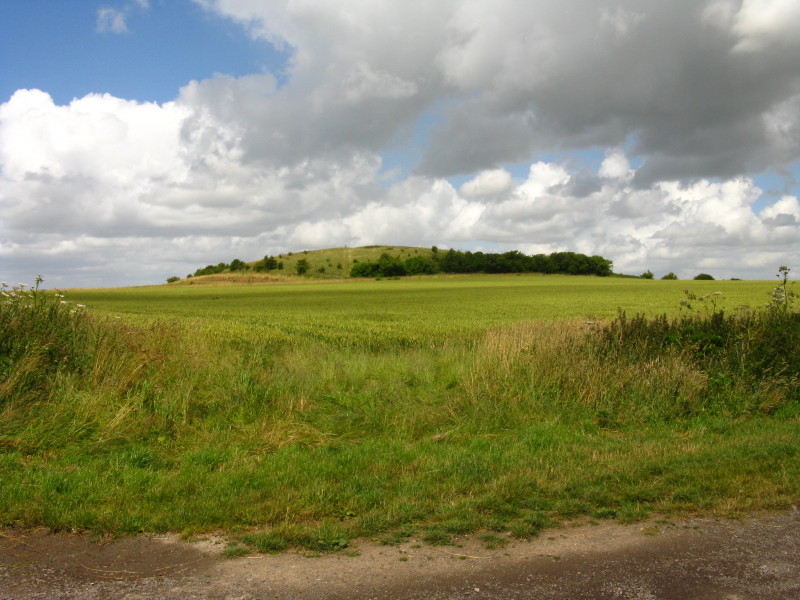
Liddington Castle is our first significant landmark today
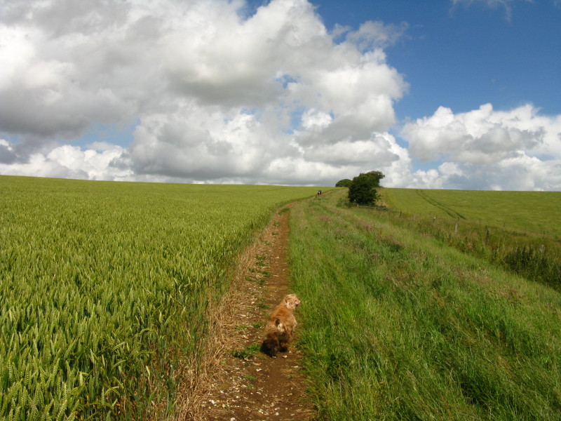
Some of the worst rutted muddy sections have little bypasses for walkers, but
they are a bit fiddly to walk on in places. Striding out on the better surfaced
bits of the track were much to be preferred.
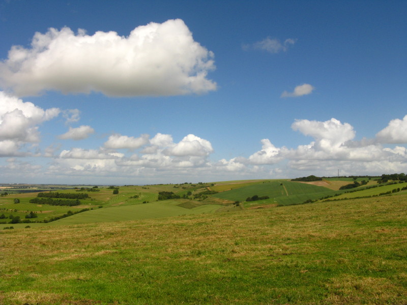
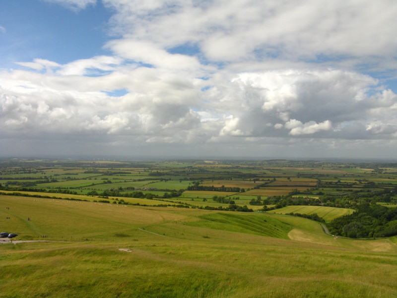
Looking towards Swindon - but far enough away for the view to be attractive!

Centre picture is Liddington Castle
The Ridgeway Path has left the byway and we make our way along the bridleway as
we head towards Liddington Castle
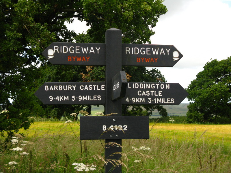
A diversion from the Ridgeway along a permissive path (for which the second sign
at the northern corner of the field is very easily missed) brings us to
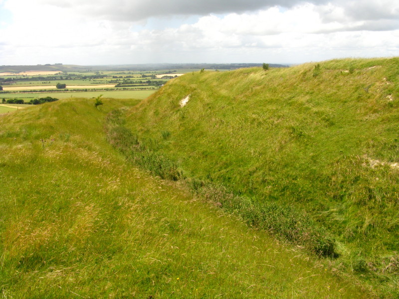
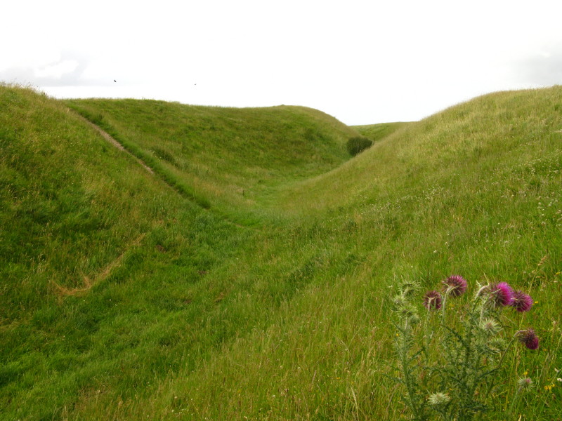
Liddington Castle
This is an early Iron Age fort dating from the 7th to 5th centuries BC. The
summit of the bank is the highest point in the Borough of Swindon.
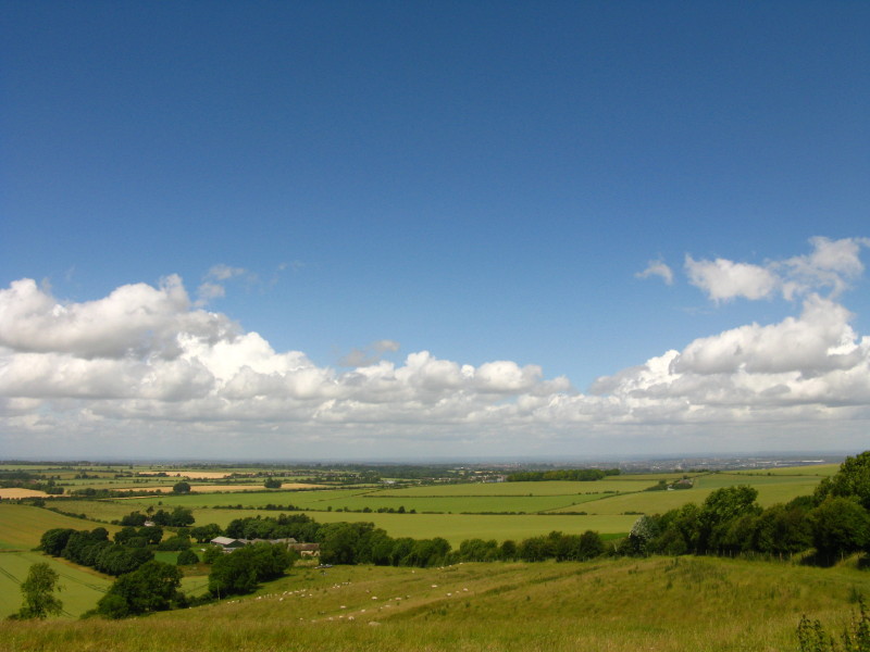
Looking north from the trig point: a heavy shower is moving in from the west.
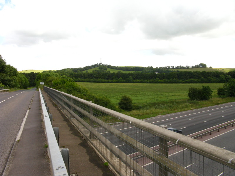
A tedious trudge along roads then follows, including a crossing of the M4. We
have now also returned to the historic route of the Ridgeway, which the National
Trail left at Barbury Castle
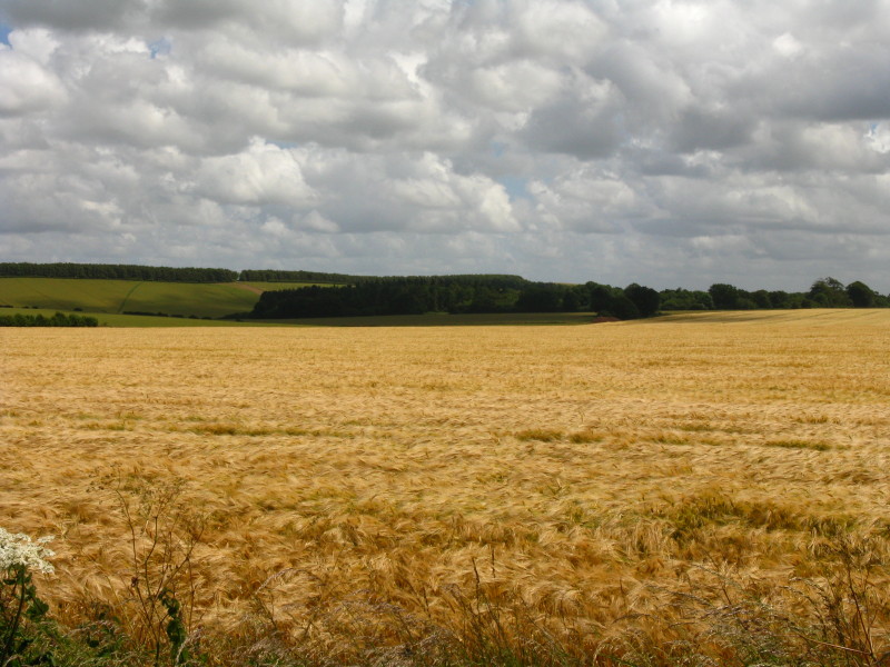
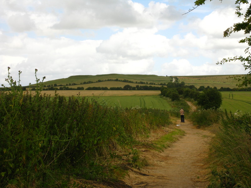
After passing through the hamlet of Foxhill, we climb Fox Hill, where there are
views across to Charlbury Hill
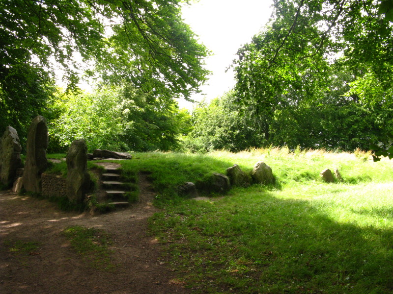
The next significant landmark is Wayland's Smithy, a neolithic longbarrow and
chamber tomb.
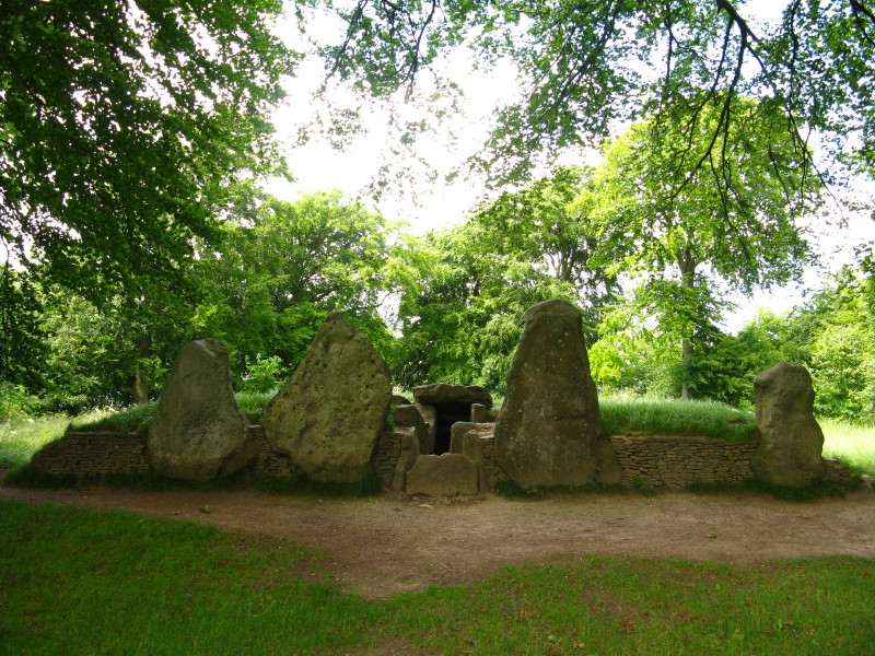
The later stone-chambered mound now visible dates from about 3400 BC, and is
built over a timber-chambered oval barrow from around 3700 BC.
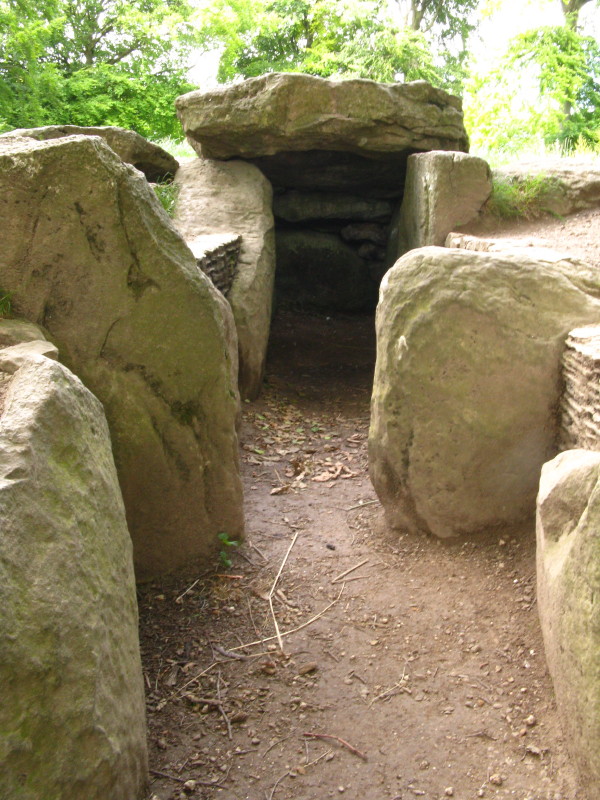
"Wayland" derives from Wolund, the Norse and Saxon god of blacksmithing, and was
applied to the site by Saxon invaders some 4000 years after the site was built.
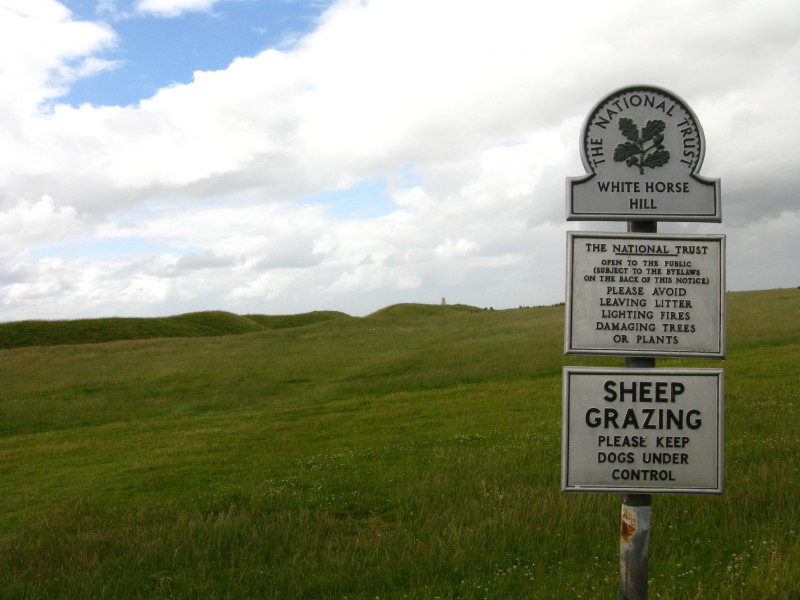
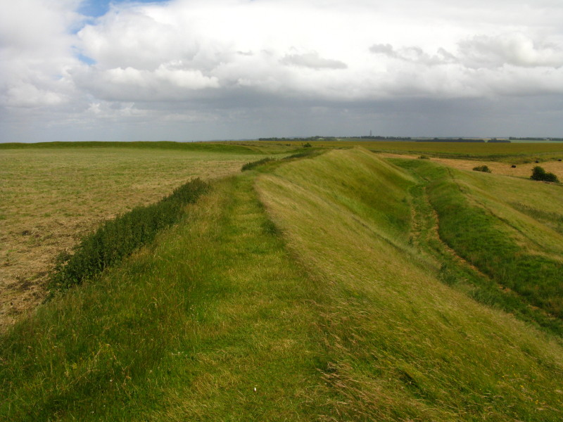
A little further along the Ridgeway is Uffington Castle, on top of Whitehorse
Hill.
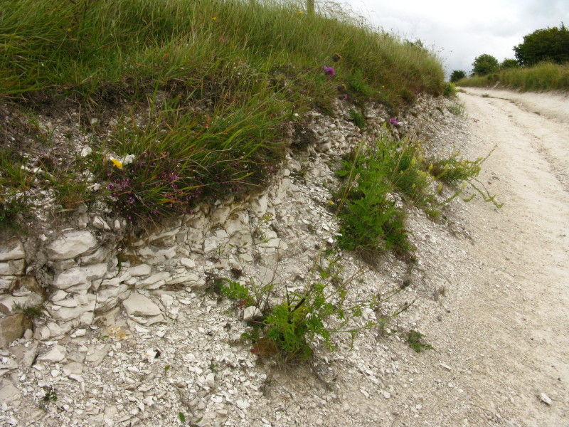
The track is well below the natural level, which provides opportunities for
chalk-loving plants and flowers
Looking towards the banks of Uffington Castle
The hill fort was built in the Iron Age, around the 8th or 7th century BC.
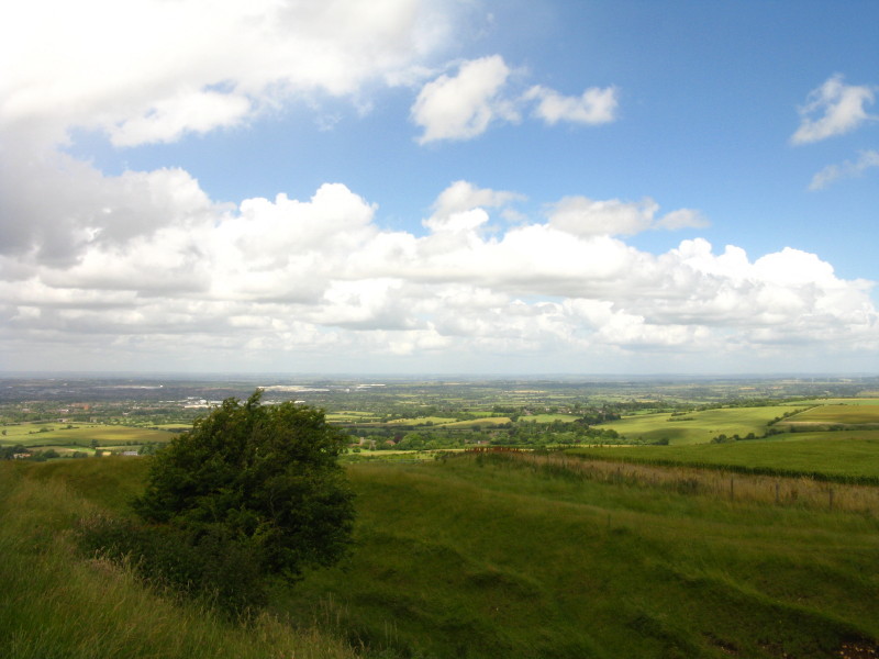
A view to the northwest from the walls of Uffington Castle
Timber posts stood on the outer rampart and sarsen stones on the inner.
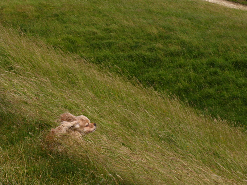
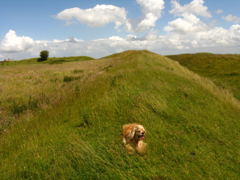
It was very windy up here.
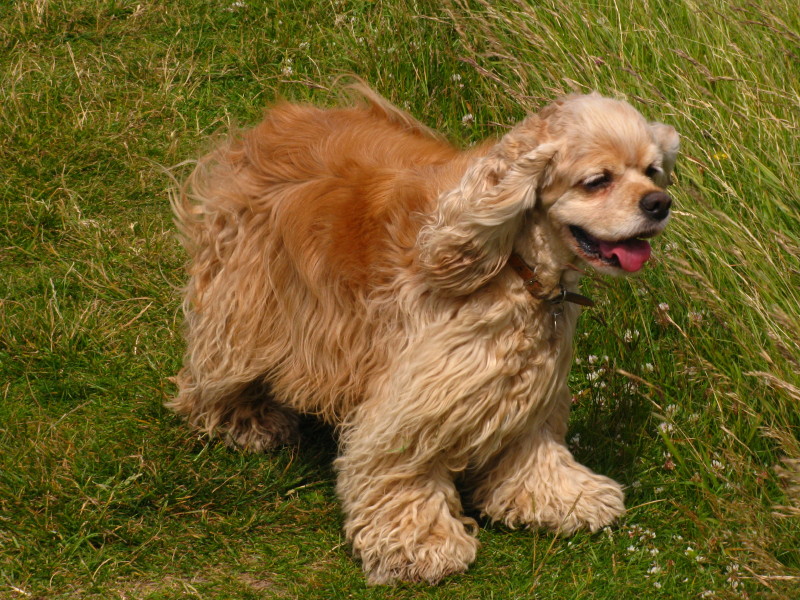
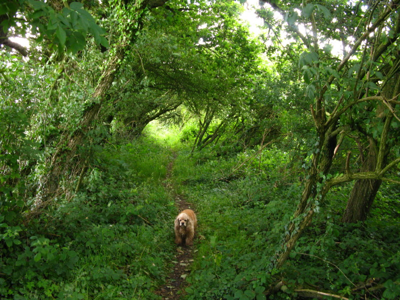
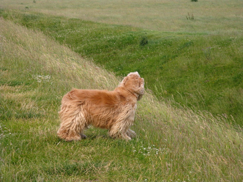
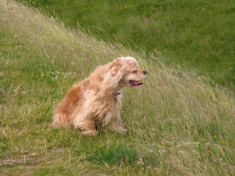
A happy dog.
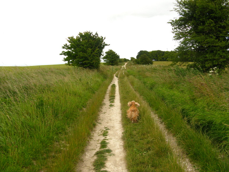
George charges on ahead as we near the end of today's walk
A last look back as we reach the road from Kingston Lisle
Total distance 23.8km with 347m ascent, in 5 hours 30 minutes (amounting to 20.8
km of progress along the Ridgeway Path) - that means we're
about 27% of the way to Ivinghoe Beacon!
 

|