Stour and Orwell Walk - Cattawade to Lower Holbrook
21 November 2009
With Stephen's broken toe having eased a good deal, it
was about time for another walk, and with Lucy going to some dog rally
obedience at Holbrook, he set out on the Stour and Orwell Walk, a route
which follows the northern side of the Stour estuary and both sides of
the River Orwell to Felixstowe - and, particularly as all those rivers
are tidal, may thus be said to be the precursor to the Suffolk Coast
Walk that is on the "to do" list.
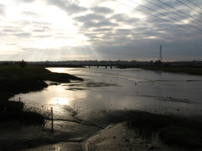
The starting point is the picnic site at Cattawade, from where we look
across the flood plain of the River Stour.
Our way lies in the other direction. Cattawade Creek heads off to pass
under the railway bridge, but our route first lies alongside the
industrial estate at Cattawade
After passing the industrial estate, the Decoy Pond, the sewage works
and crossing the railway line, we eventually emerge onto the river wall.
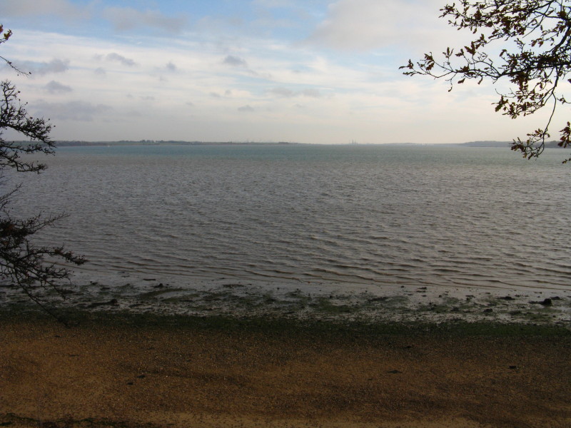
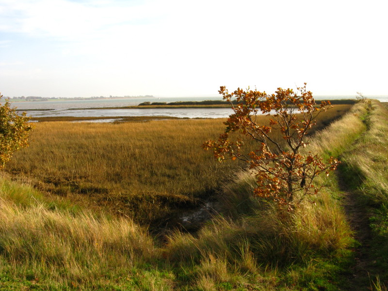
The view of the Stour from the river wall
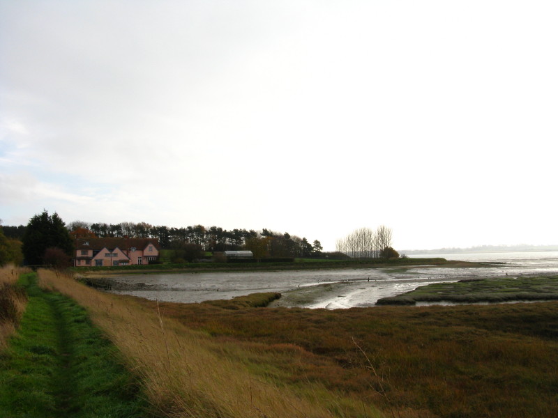
Approaching Stutton Mill
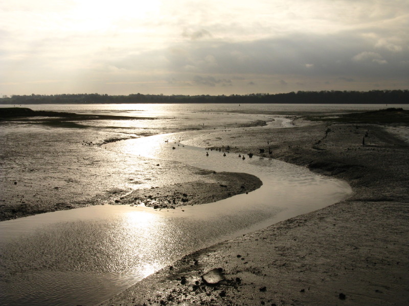
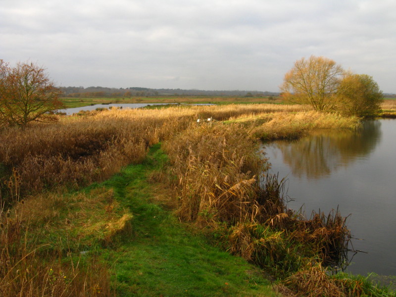
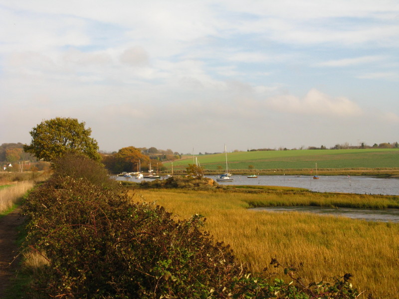
Newmill Creek wends its way into the Stour
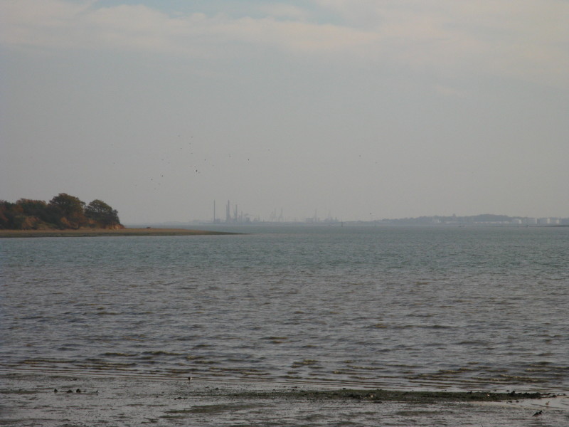
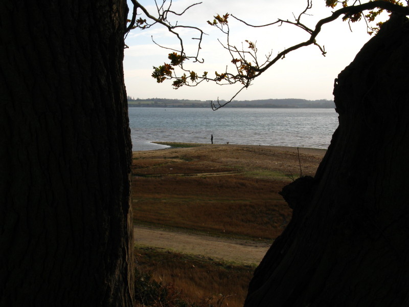
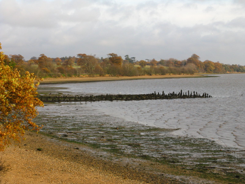
Looking past Stutton Ness to the cranes of Felixstowe
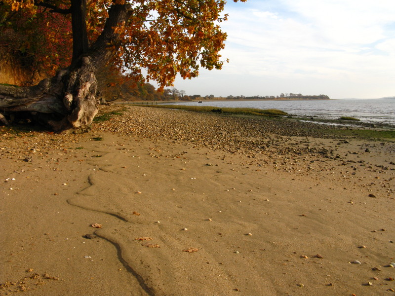
The beach below Stutton Park
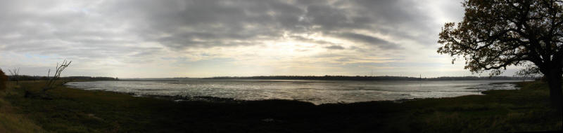
Looking across Straight Reach to the southern side of the Stour
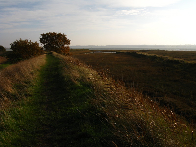
For a while we walk along the top of sandy cliffs
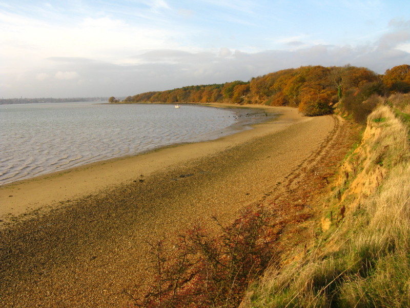
Looking down on Stutton Ness
We now turn north around Holbrook Bay, across which there is another
distant view of Felixstowe's cranes
The remains of Graham's Wharf, which marks the point where we turn
inland for a while
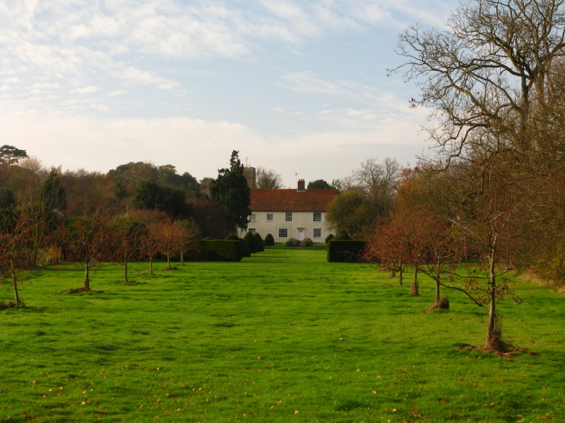
Crowe Hall Farm
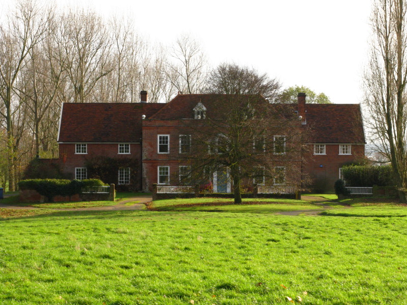
Little Hall
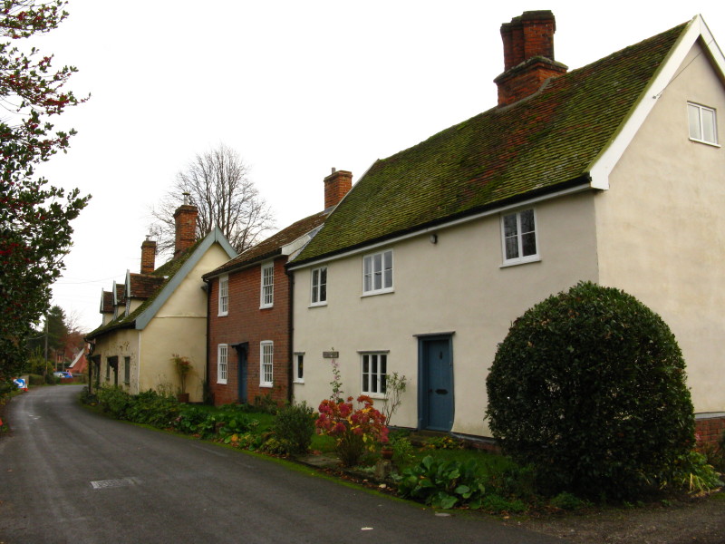
Houses in Stutton
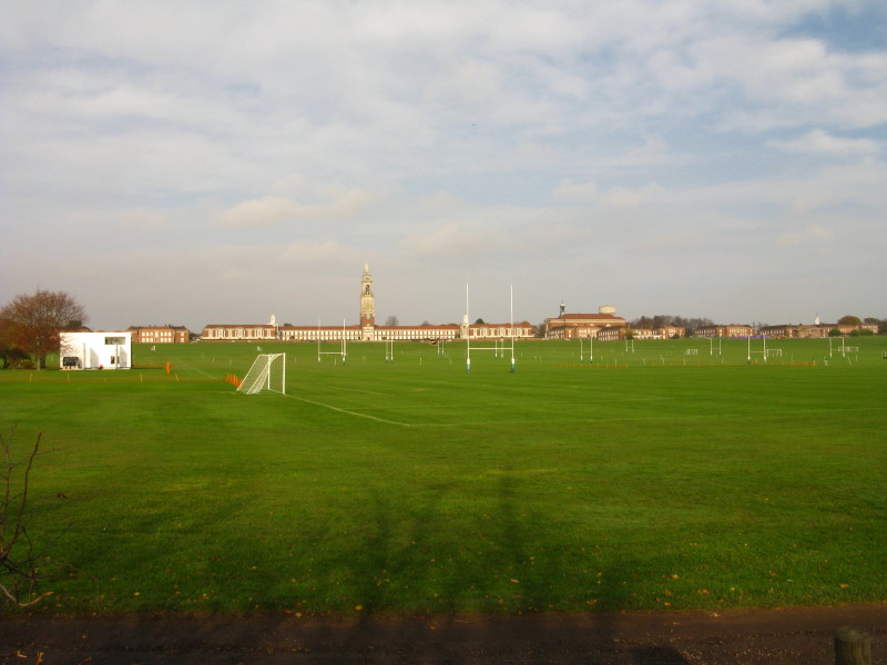
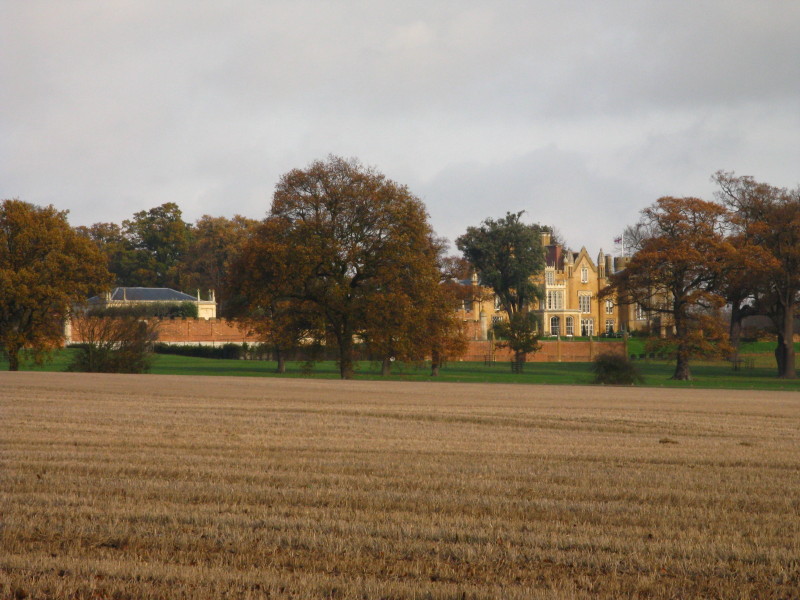
The playing fields in front of the grand Royal Hospital School
Markwell's Farm
Returning to the river again
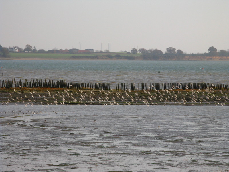
On the right and in the middle distance is the old sea wall - still the
route of the public footpath which a closer inspection will show crosses
the water where the wall was breached. Fortunately the new sea wall
carries a clear path even though it isn't a public right of way.
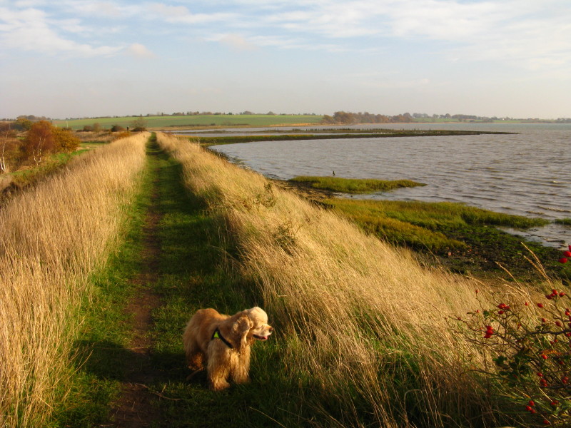
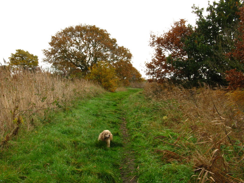
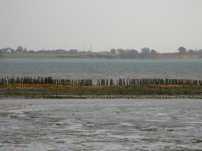
George on the new sea wall, with another section of the old wall in the
distance
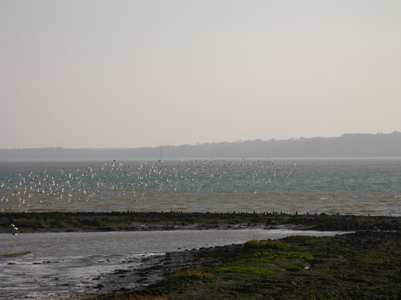
Several pictures here of this flock of birds which wheeled about very
impressively...
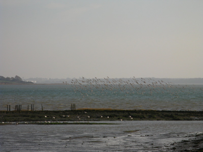
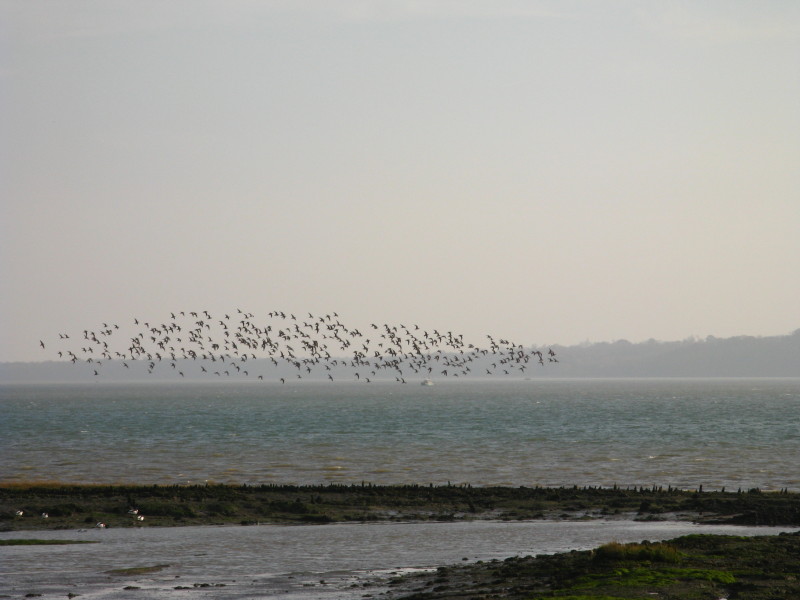
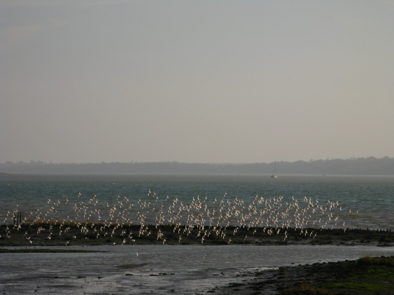
Before suddenly all landing on the mud in unison.
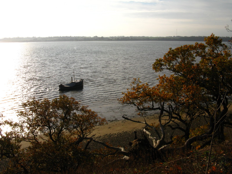
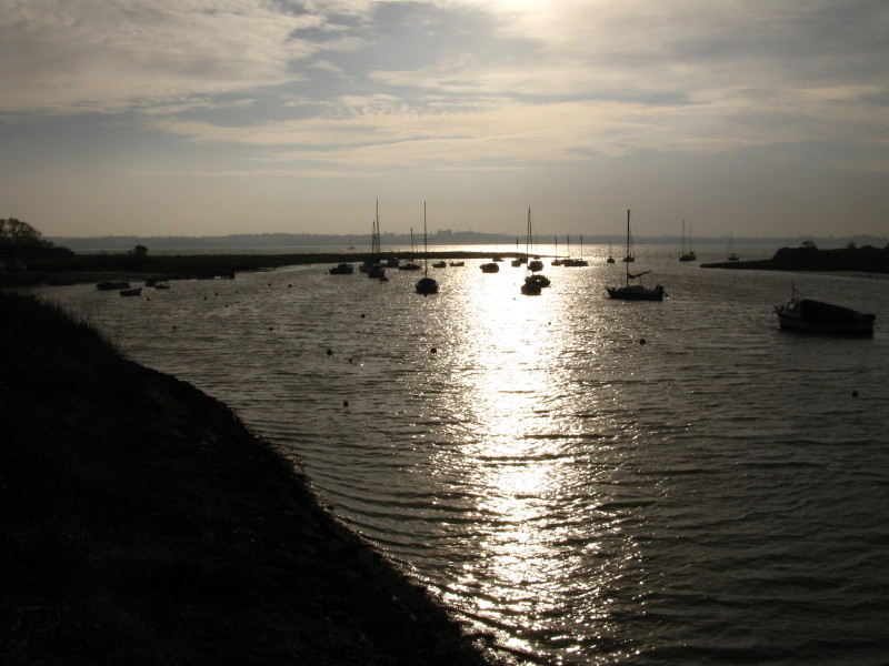
Boats in Holbrook Creek
Looking back up Holbrook Creek. A short walk then took us up the lane
and back to the car park.
Total 11.7 km, (11.4 km on the Stour & Orwell Walk) in 2 hours 49 mins.
 

|