Isle of Purbeck:
Swyre Head and Nine Barrow Down
13 August 2005
While Lucy, Henry and Ellie were at the Bournemouth Canine Association's show,
Stephen and George went for a couple of walks on the Isle of Purbeck.
A view along the ridge of Swyre Head
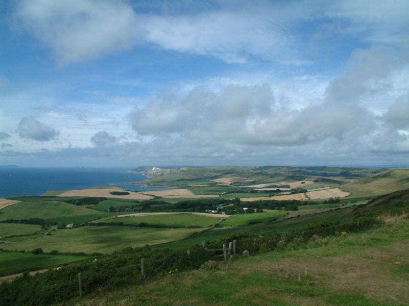
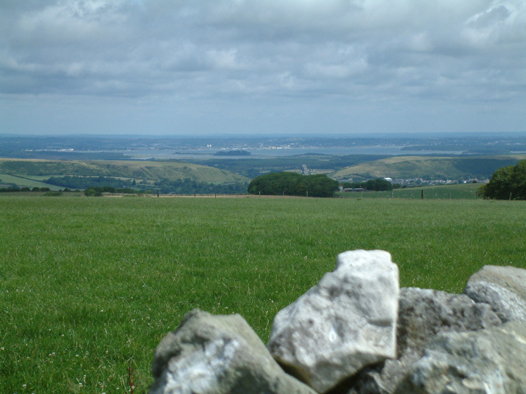
A view west from the summit of Swyre Head (208m / 682ft above sea level). The
top is a tumulus, fully grassed over.
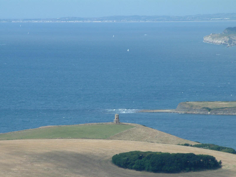
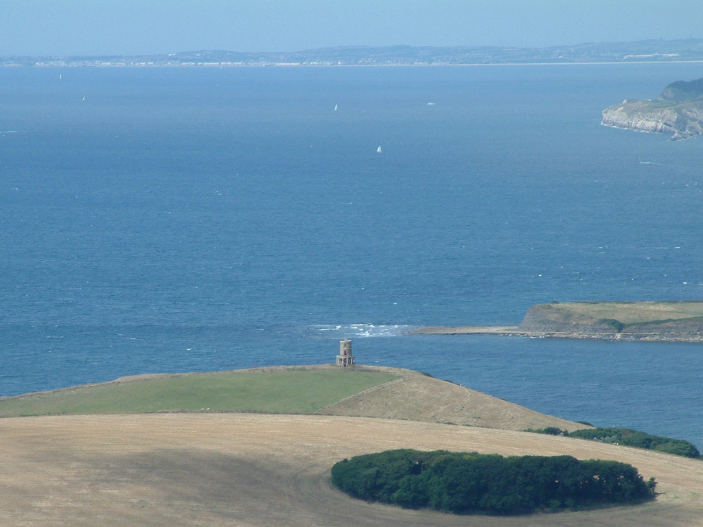
From the same point, a zoomed in shot of Clavell Tower. Also known as Clavell Folly or Kimmeridge
Tower, it is 11 metres high, and was built in about 1831 by the Reverend John
Richards. It has fallen into disrepair, and with the cliff eroding fairly
rapidly, is in danger of shortly falling into the sea. (Compared with the
previous photograph, this picture also demonstrates the value of a good zoom on
a camera.)
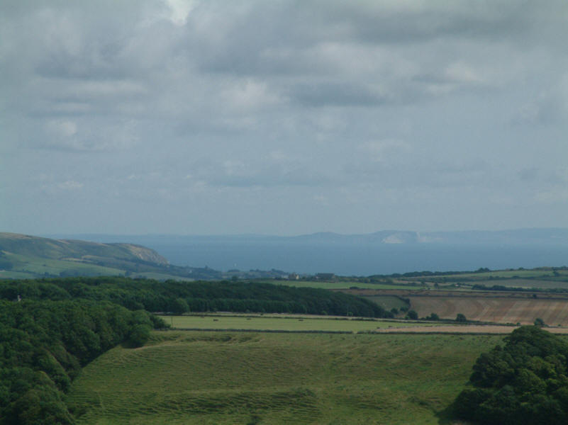
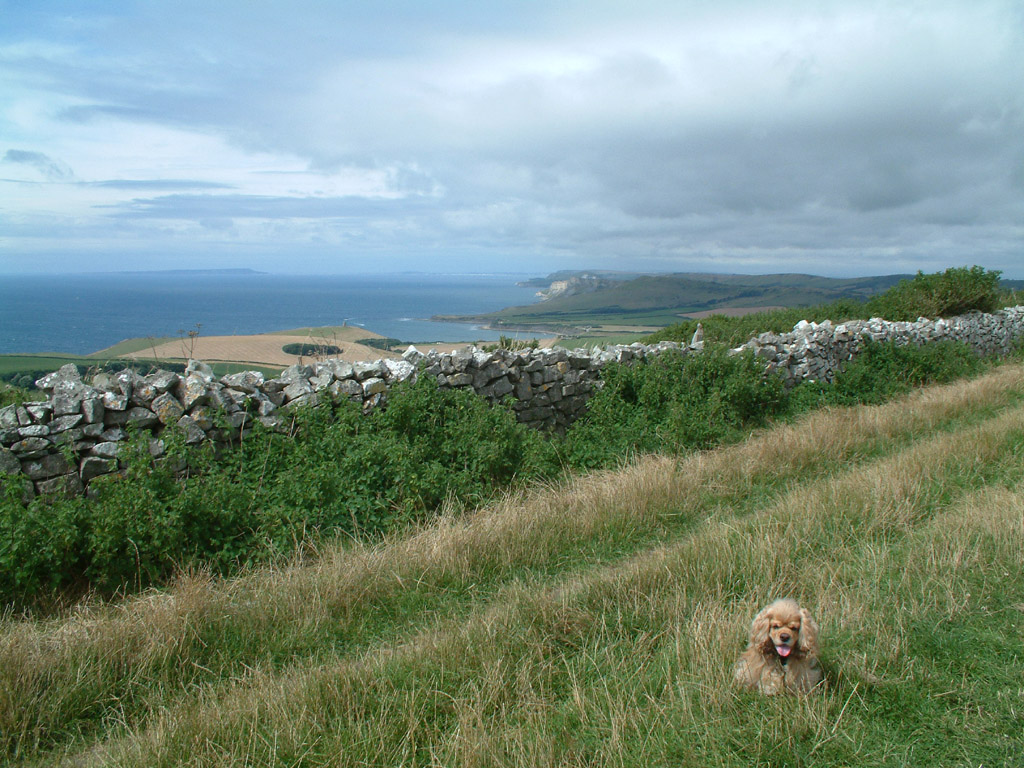
Looking east over Swanage Bay to the Isle of Wight
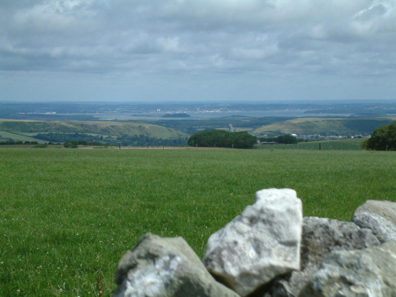
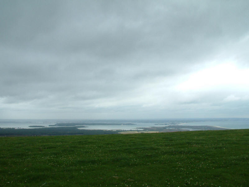
And looking north-east over Pool Harbour with Round Island and Brownsea Island
visible.

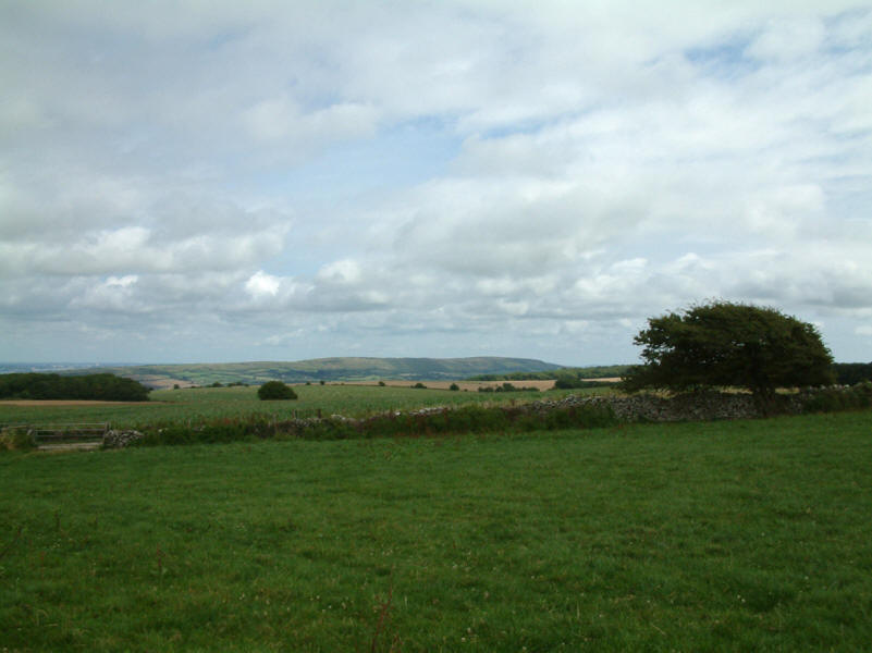
George on the track to the north-west of Swyre Head, with the Isle of Portland
visible on the horizon, some 25 km away
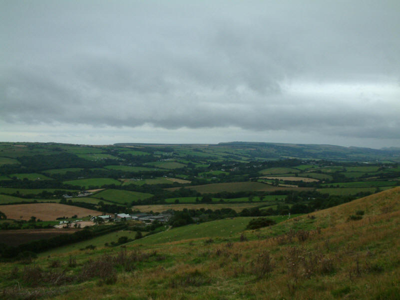
Looking north-east to Nine Barrow Down
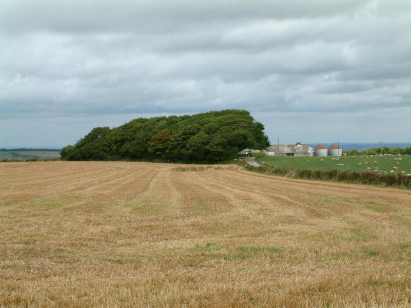
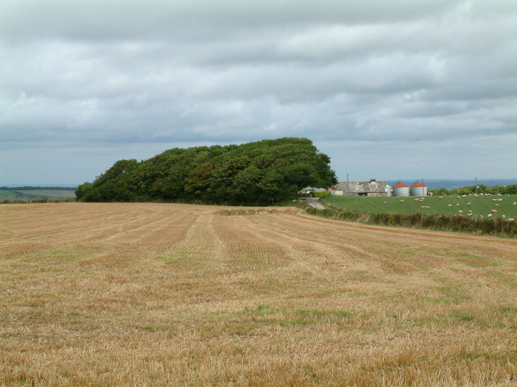
Orchard Hill Farm, well sheltered from westerly winds
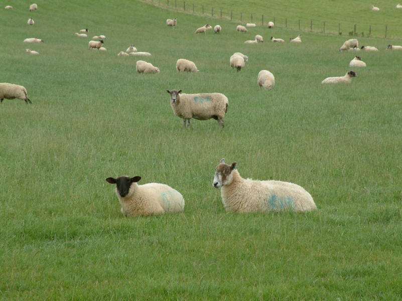
Sheep watching the man and his dog
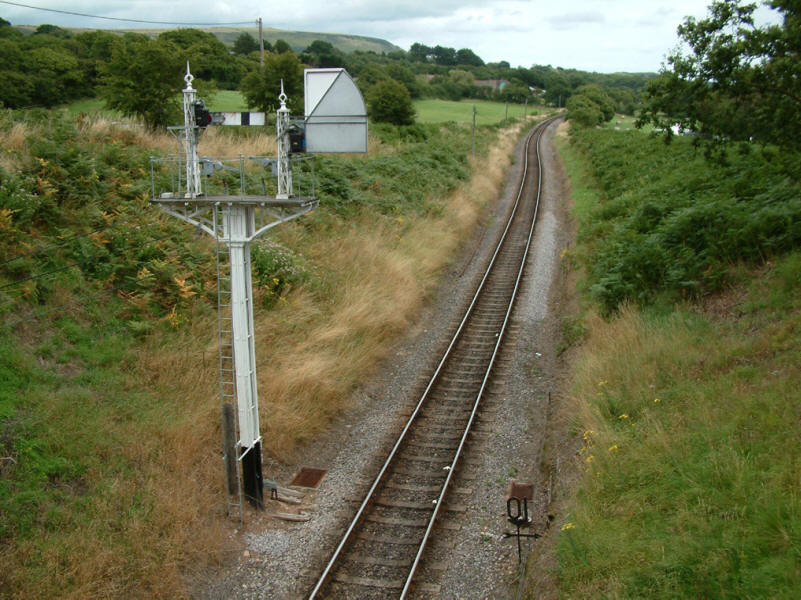
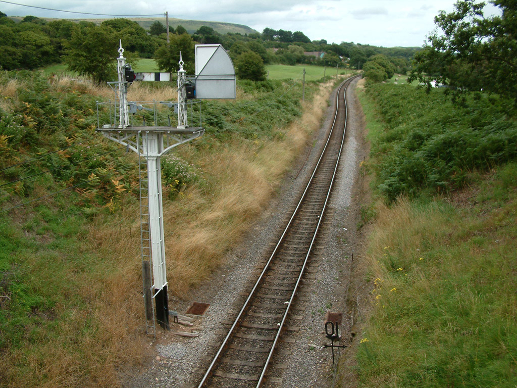
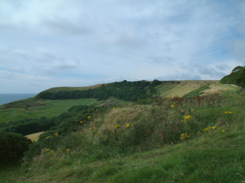
Onwards to our second hill, Nine Barrow Down, which can just be seen above the
signal. This railway cutting forms the col between Swyre Head and Nine Barrow
Down, and results in them having 150 metres of height separation, and thus
promoting Nine Barrow Down to Marilyn
status.
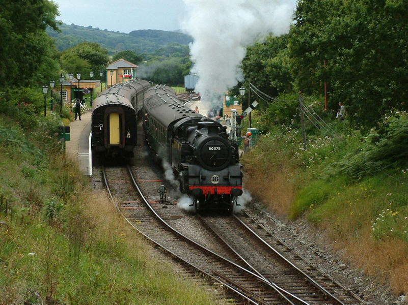
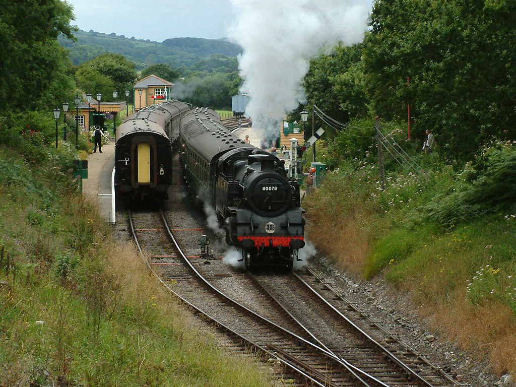
Looking the other way, a busy scene at Harman's Cross station on the Swanage
Railway
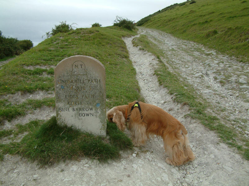
George investigates the signpost as we make our way up Nine Barrow Down
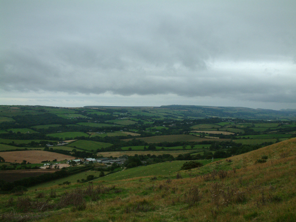
Looking south-west to our first walk, Swyre Head
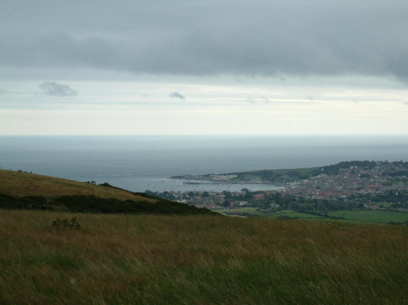
Swanage and its Bay
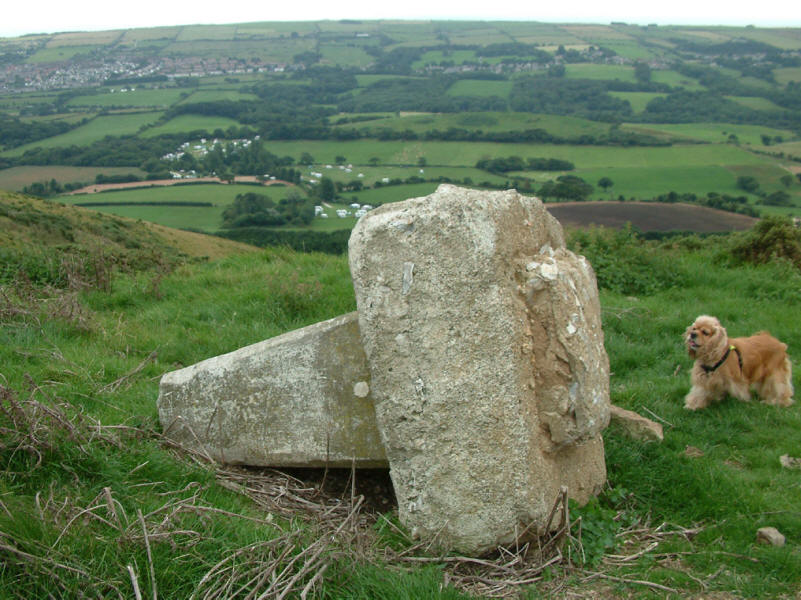
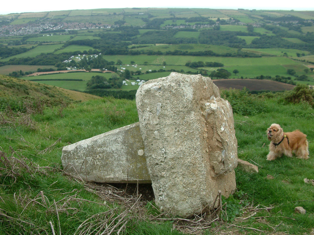
George investigates the trig point from the summit of Nine Barrow Down. Removed
by the farmer with the permission of Ordnance Survey, it now looks rather sad on
its side.
From the summit of Nine Barrow Down (199m/653ft above sea level), Pool Harbour
and the narrows of the Sandbanks Ferry
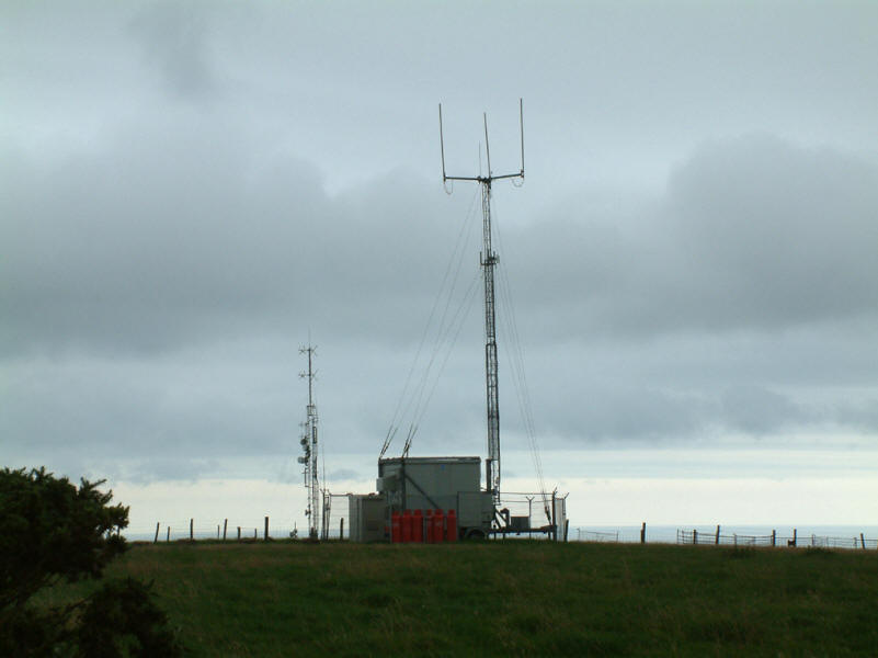
A transmitter mast on Nine Barrow Down
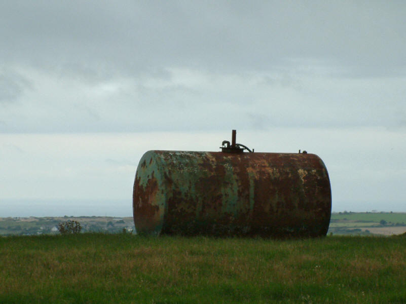
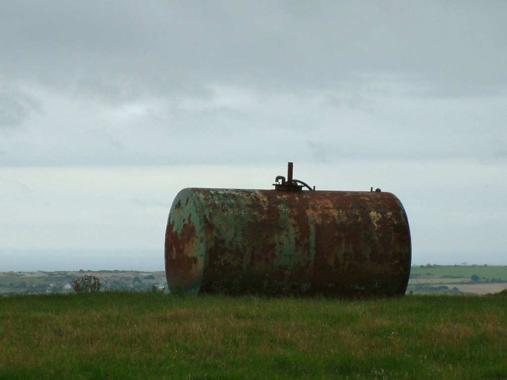
This rusting tank is approximately on the highest point.
|