Lake District: Brim Fell
13 May 2006
After driving up from London on Saturday morning for a long weekend in the
Lakes, Stephen and George made the most of the remaining time with a visit to
Brim Fell.

We parked at the top of the fell road out of Coniston for a useful height boost.
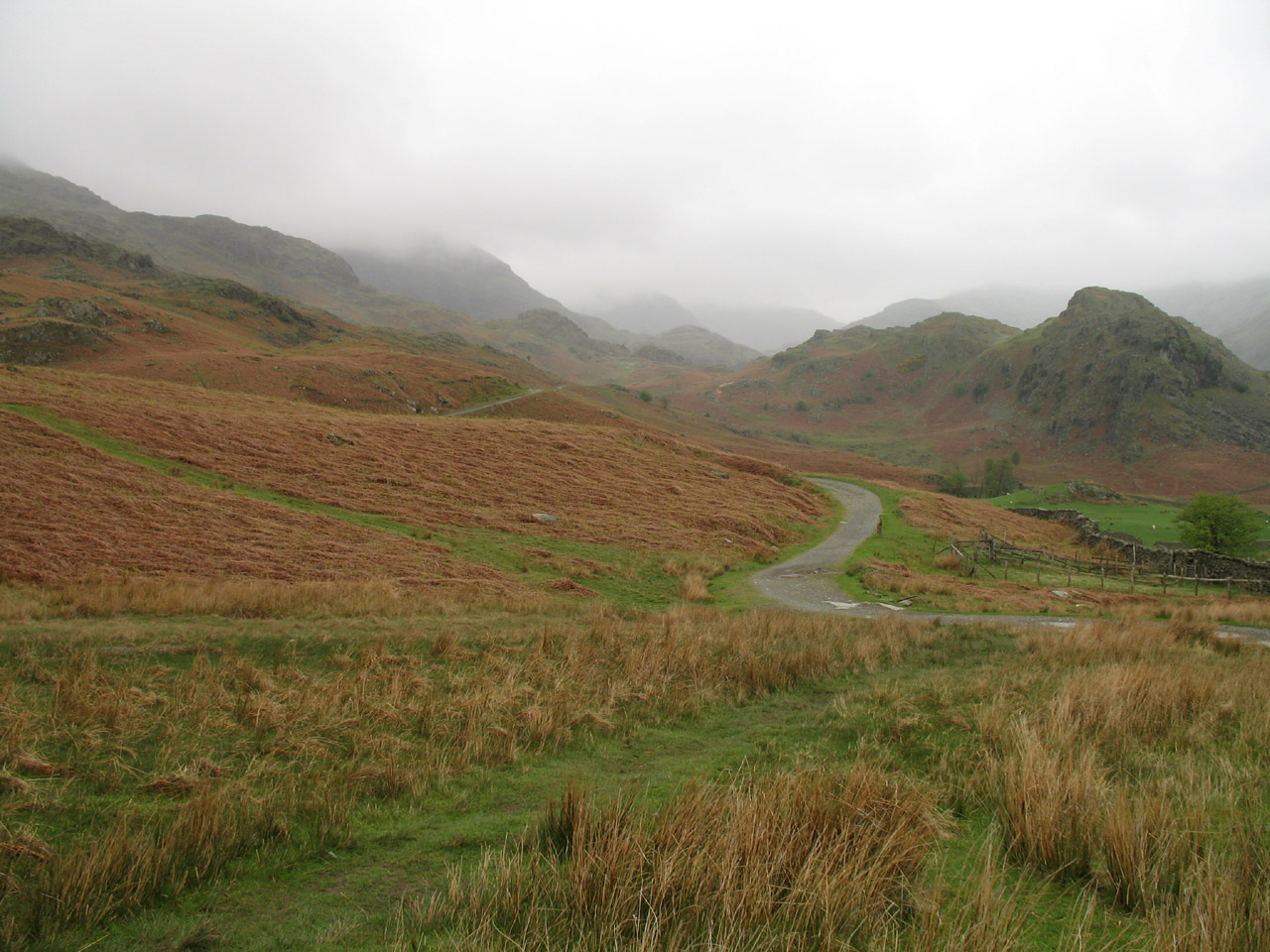
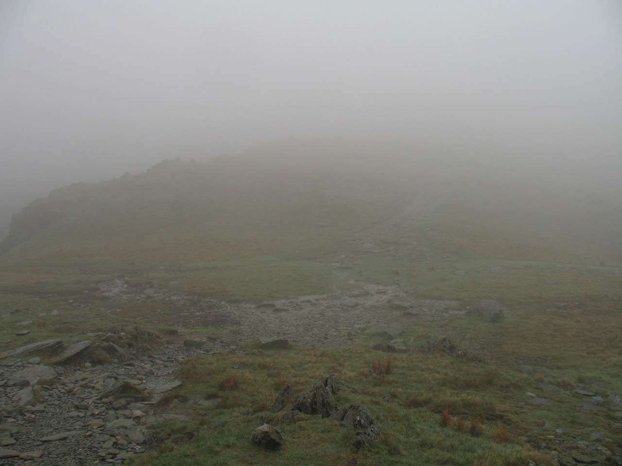
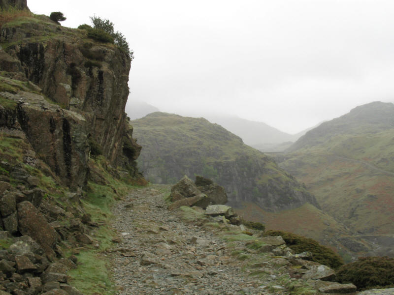
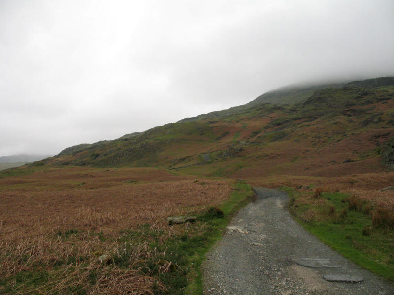
Looking north up the mine road, the mist is definitely down on the tops.
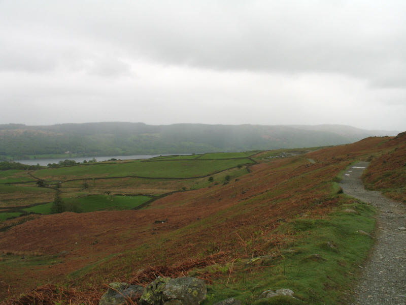
Looking back from a short distance along the mine road, we can see Coniston
Water.
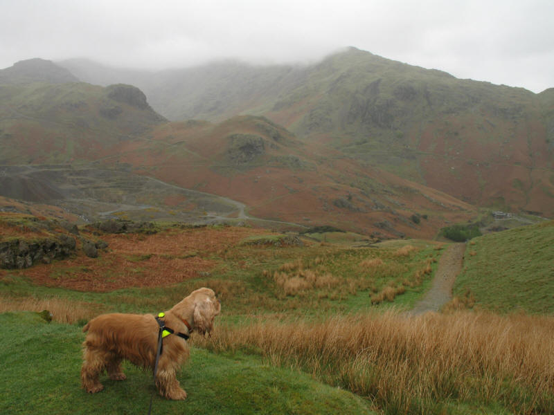
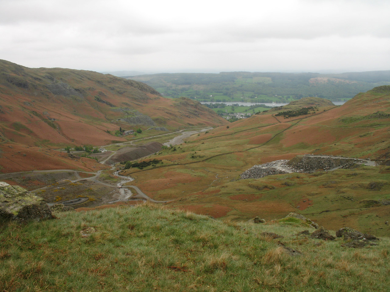
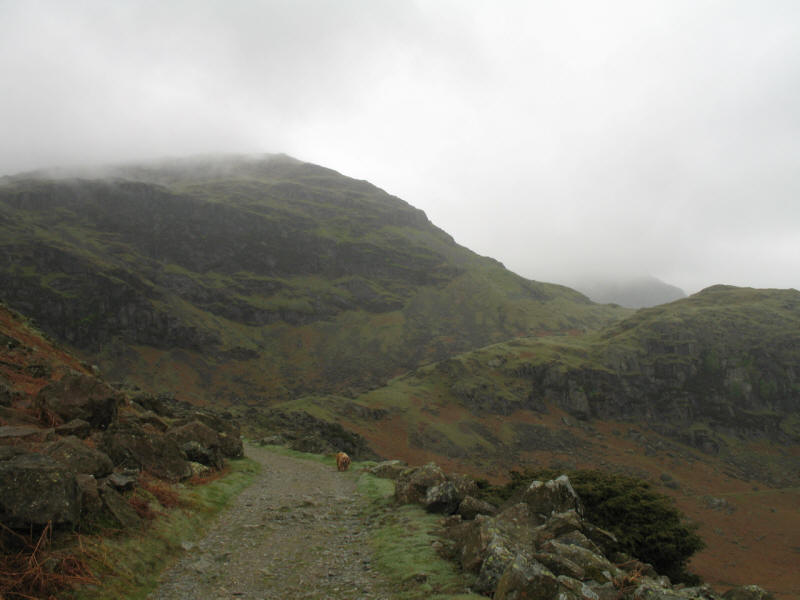
George stops to inspect the growing view of Coppermines Valley
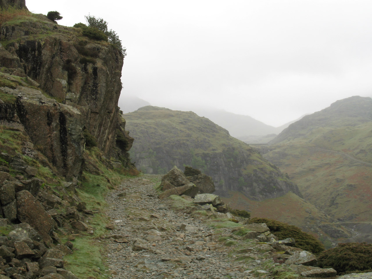
After crossing the main highway from Coniston up onto the Old Man, we continue
along the mine road towards Boulder Valley.
Approaching Boulder Valley
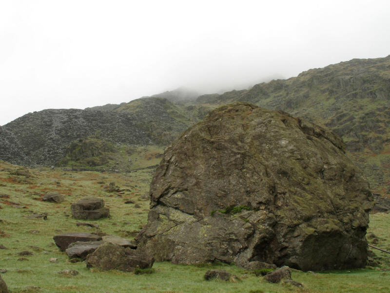
The Pudding Stone in Boulder Valley
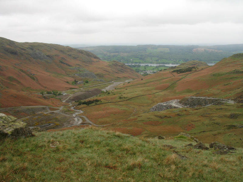
Looking down into Coppermines Valley
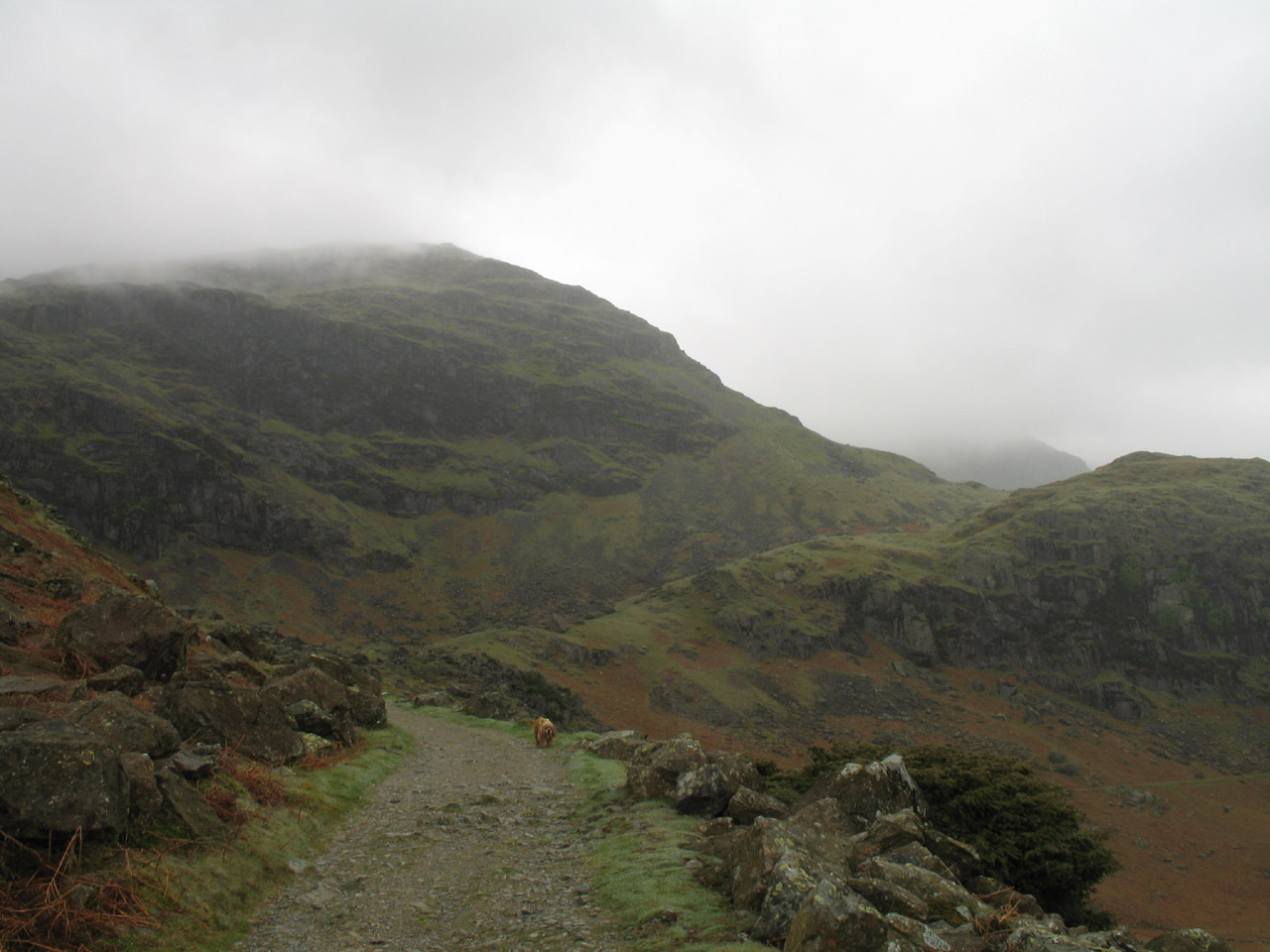
We skirted around Levers Water, before beginning the climb into the mist towards
Levers Hause.
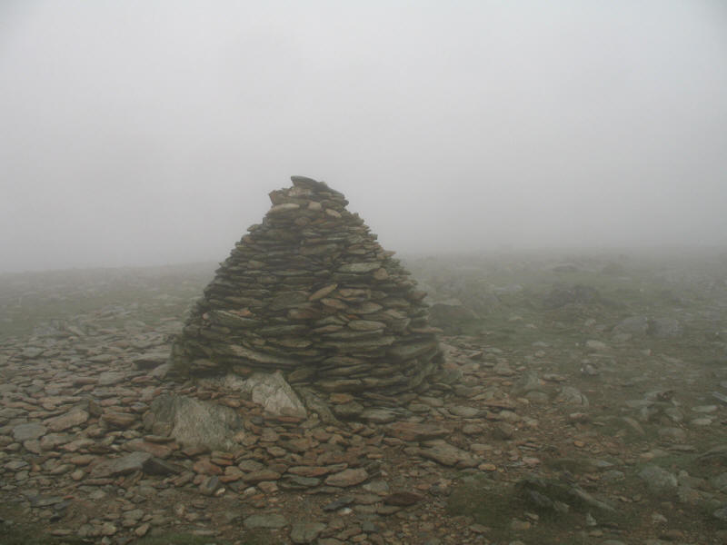
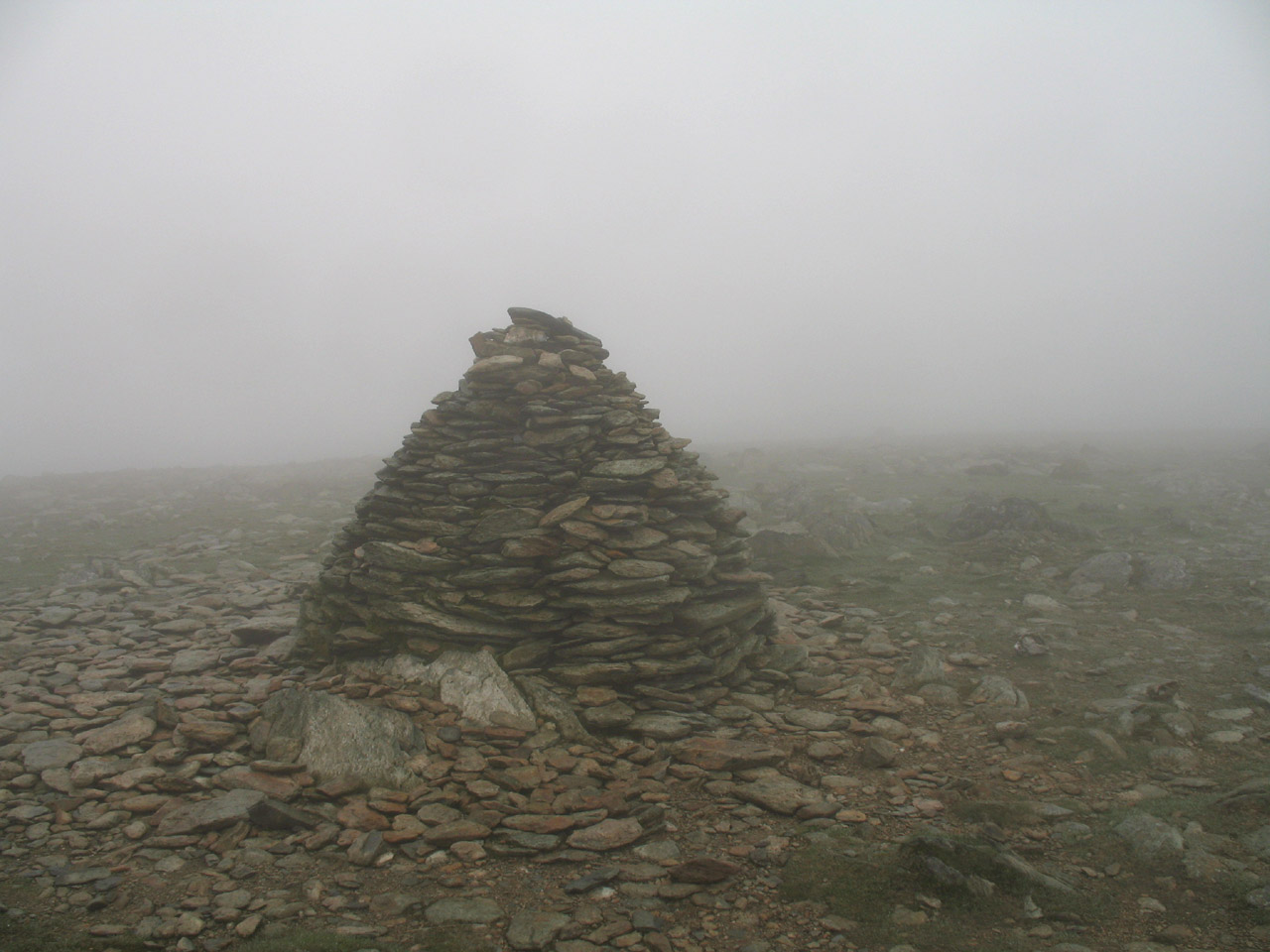
The splendid summit cairn on the top of Brim Fell - rarely visited on its own,
being more normally visited en route between The Old Man of Coniston and Swirl
How.
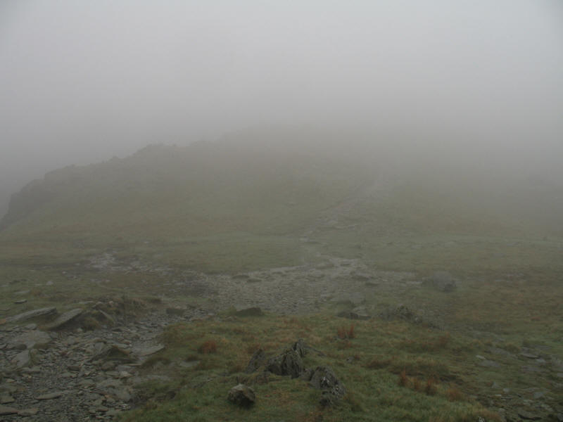
We then took a bee-line for Goats Hause, along a nice example of a public right
of way which has no evidence of a path at all. As we join the route from the
summit of The Old Man near to Goats Hause, we regain a path.
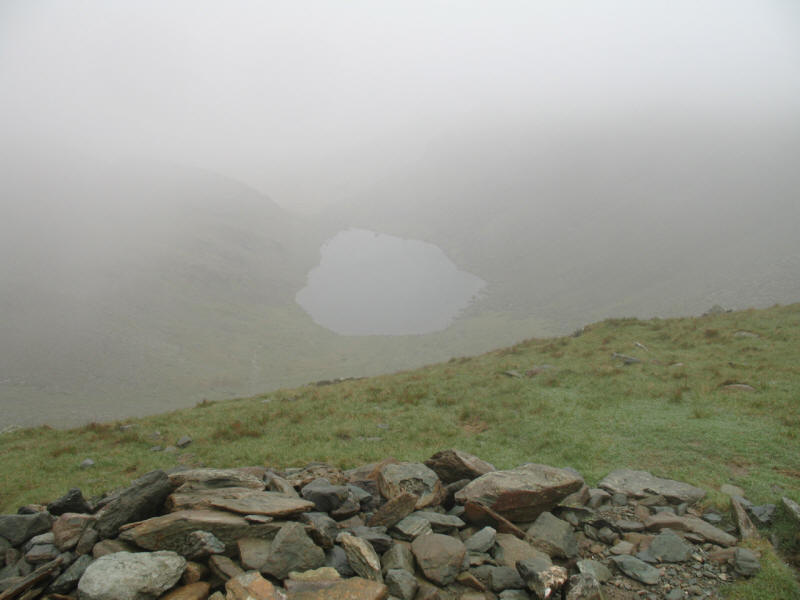
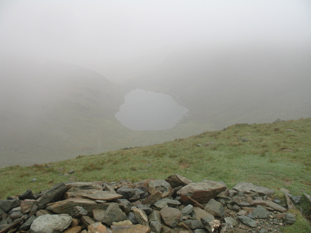
From Goats Hause, looking down on Goats Water through the clouds
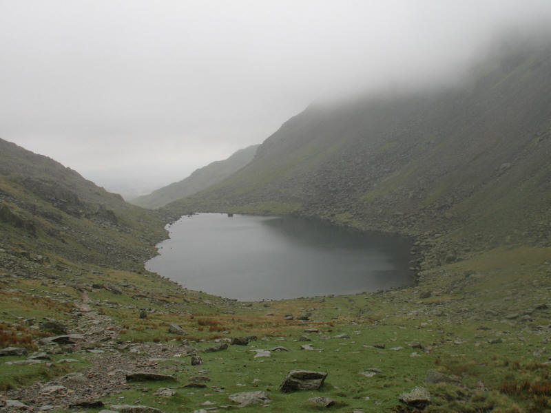
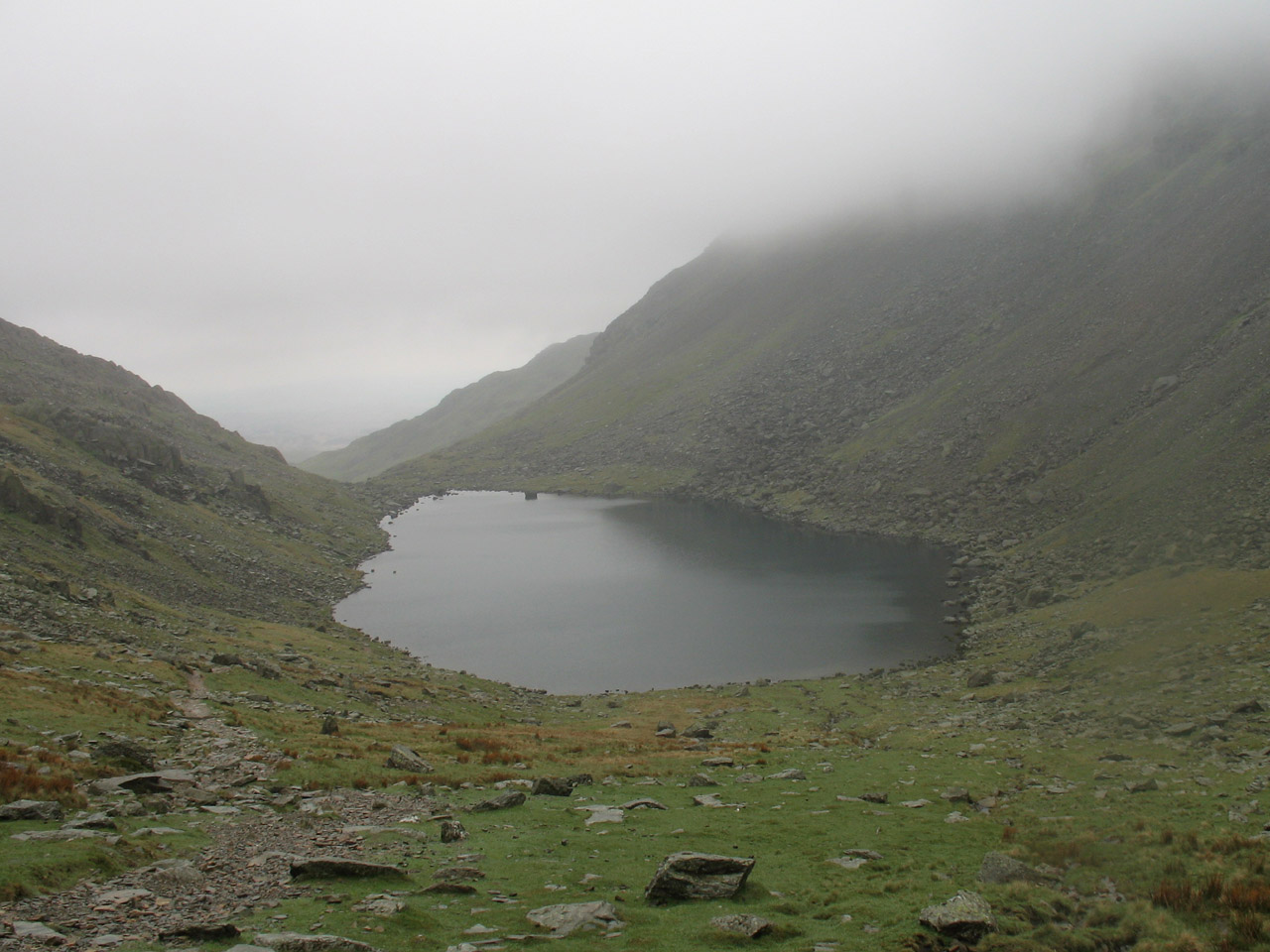
We descended from Goats Hause to Goats Water
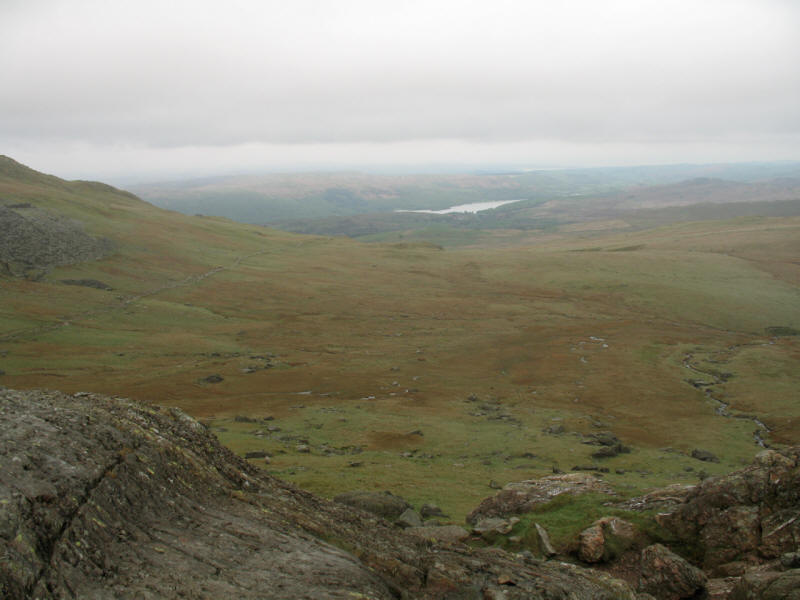
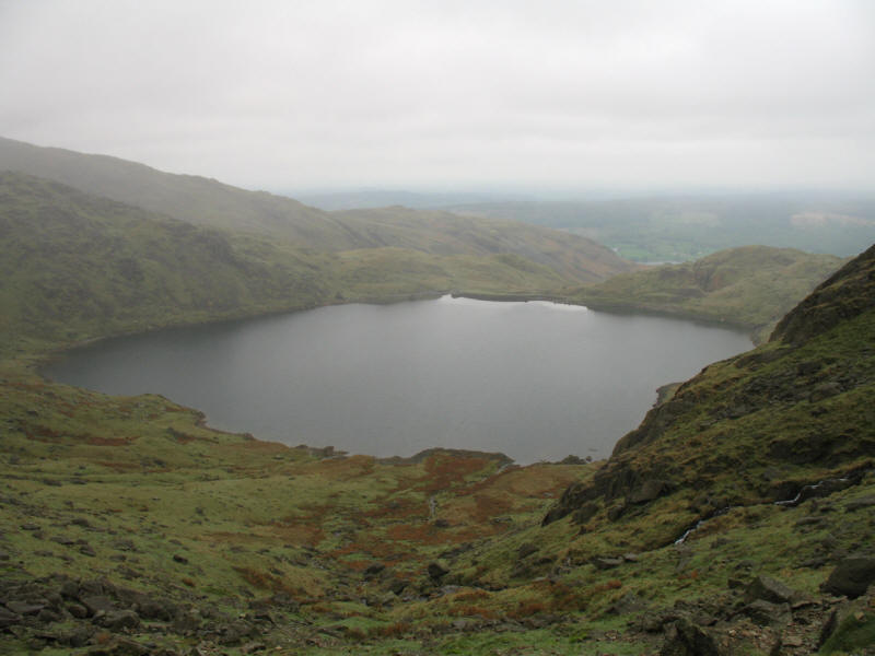
Shortly after the far end of Goats Water, we reach this impressive outlook - we
are on the edge of the high fell country, looking out across The Cove to the
moorland of Torver High Common and a segment of Coniston Water.
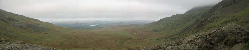
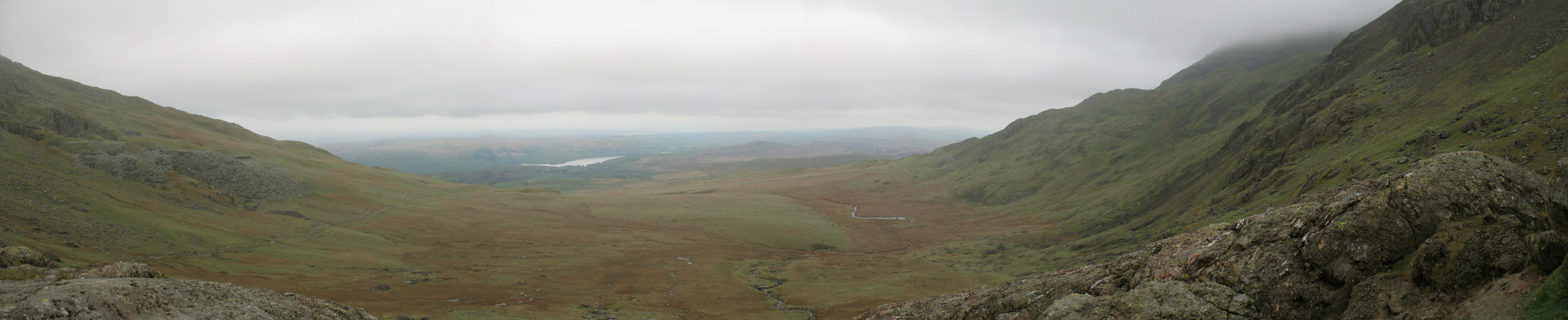
A panoramic shot from the same point shows the glacial depression of The Cove
nicely, with the southern ridge of The Old Man of Coniston on the left, and the
eastern slopes of Buck Pike and Brown Pike on the right.
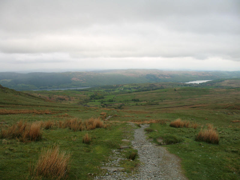
We gradually descend towards the Walna Scar Road, with lovely views to the south
and south-east
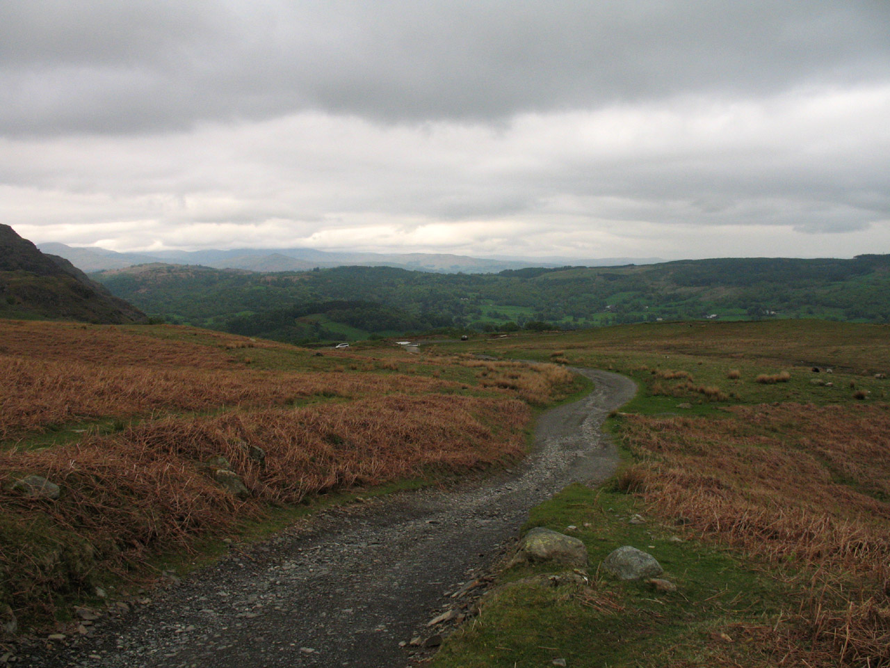
On the Walna Scar Road, looking backwards.

And looking down towards our start point.
A very enjoyable walk, despite the mist. The GPS recorded 9.34km with 652 metres
of ascent, taking 3 hours 35 minutes (including 55 minutes stopped).
Lake District holiday, May 2006
|
|