Lake District: Green Crag
14 May 2006
The weather forecast predicting heavy rain in the afternoon, a morning walk was
called for, and the long-considered but never-visited Green Crag above Eskdale
was selected.

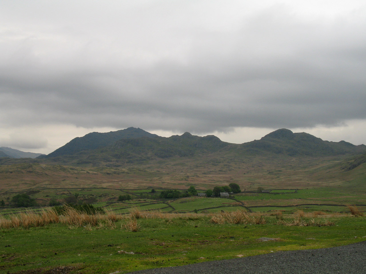
On the drive over the Birker Fell road from Ulpha, an opportunity to inspect the
morning's objective. Looking past Birkerthwaite farm, Green Crag is the high
point on the right, with the slightly lower Crook Crag in the centre, with the
much higher Harter Fell behind on the
left.
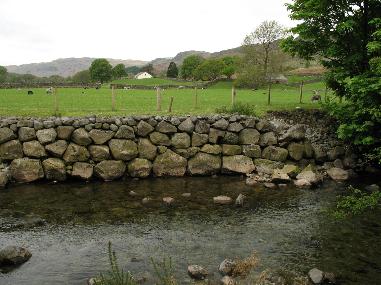
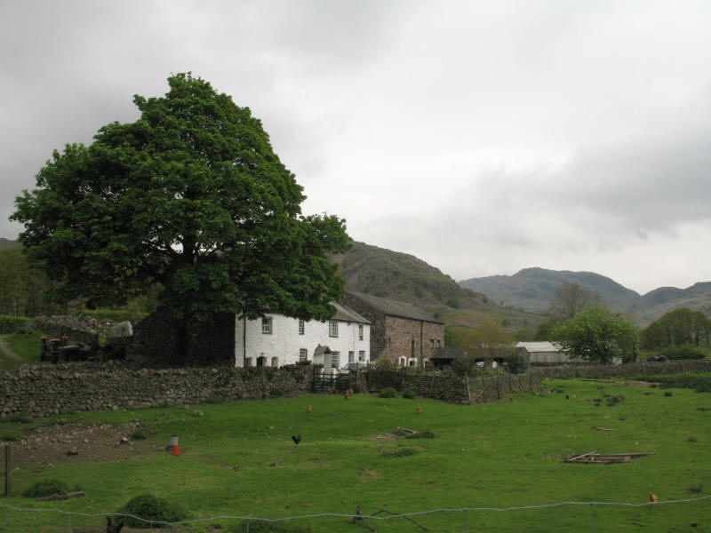
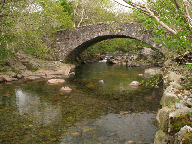
We parked near Wha House Farm, and here look up the River Esk from Whahouse
Bridge

Looking across the Esk and its reinforced walls to Wha House Farm
We then took the valley bridleway past Penny Hill Farm with the intention of
gaining the fellside at Low Birker
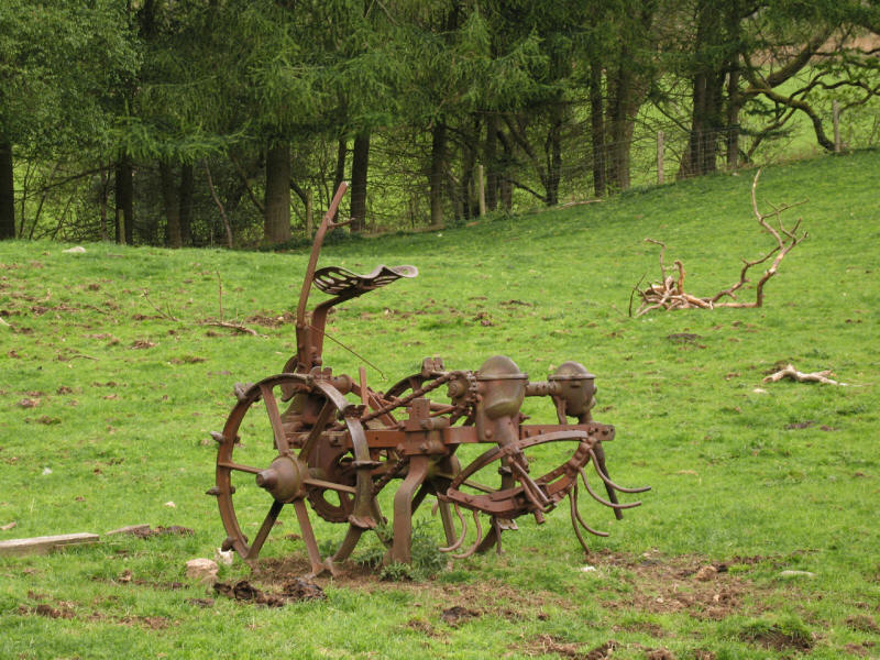
An ancient seed drill in a field
Penny Hill Farm from the permissive path which I decided to take as an
alternative to the right of way through the farmyard
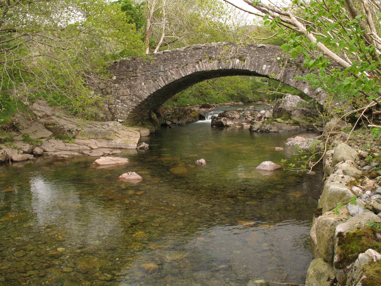
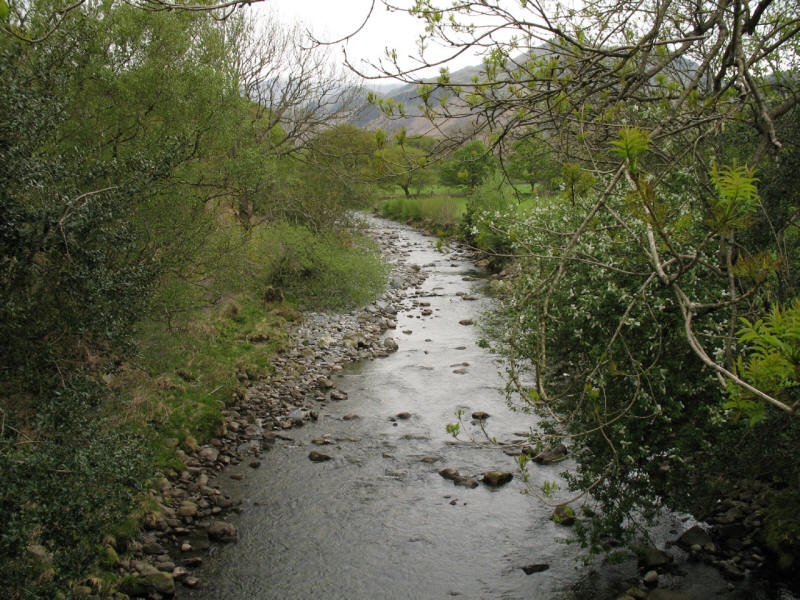
The Esk looking lovely at Doctor Bridge

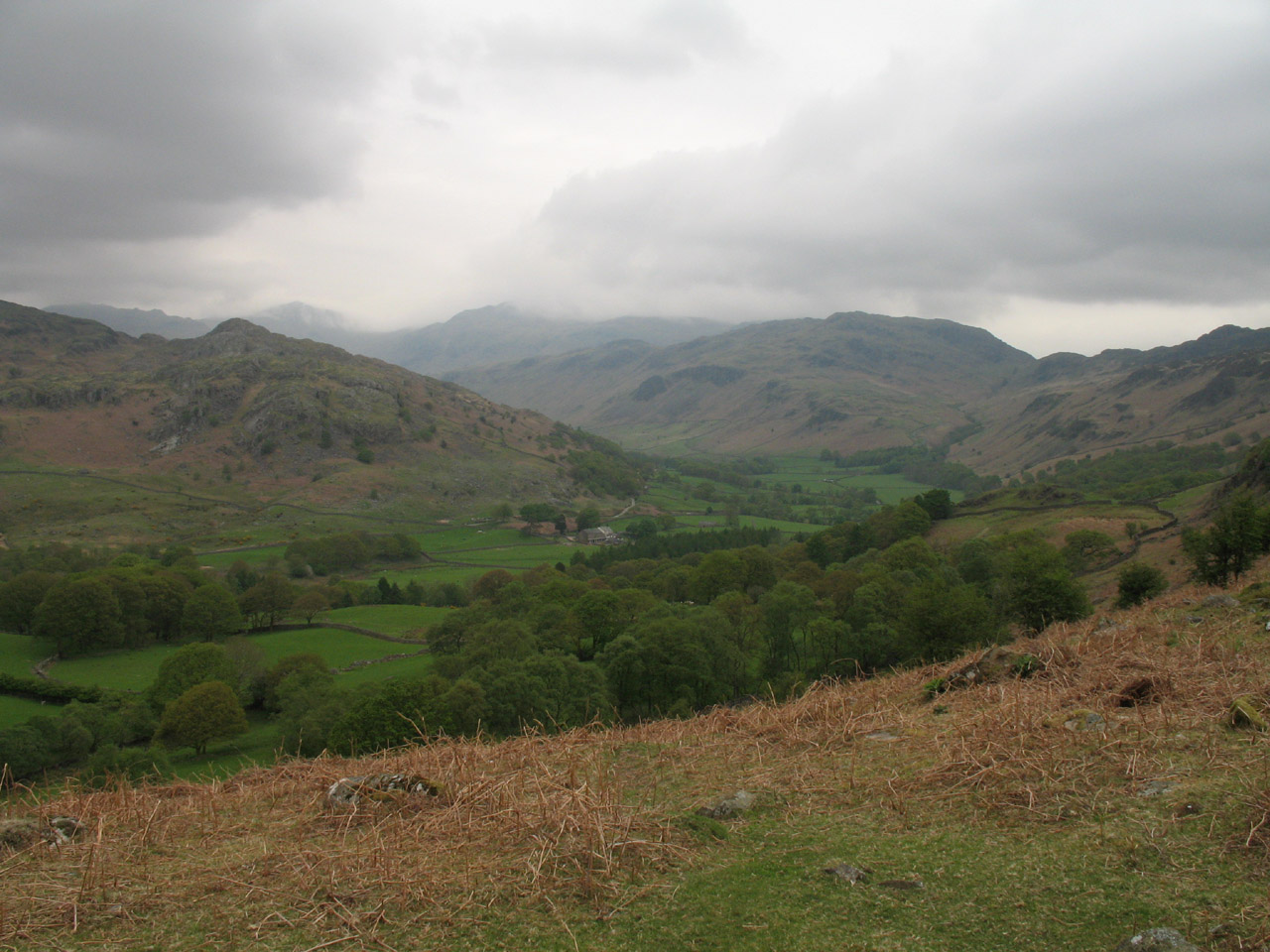
Looking up Eskdale to Border End and Hard Knott
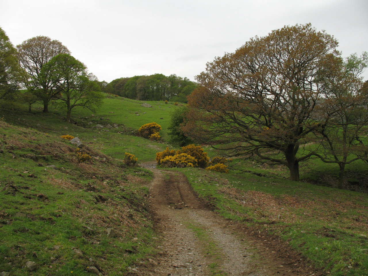
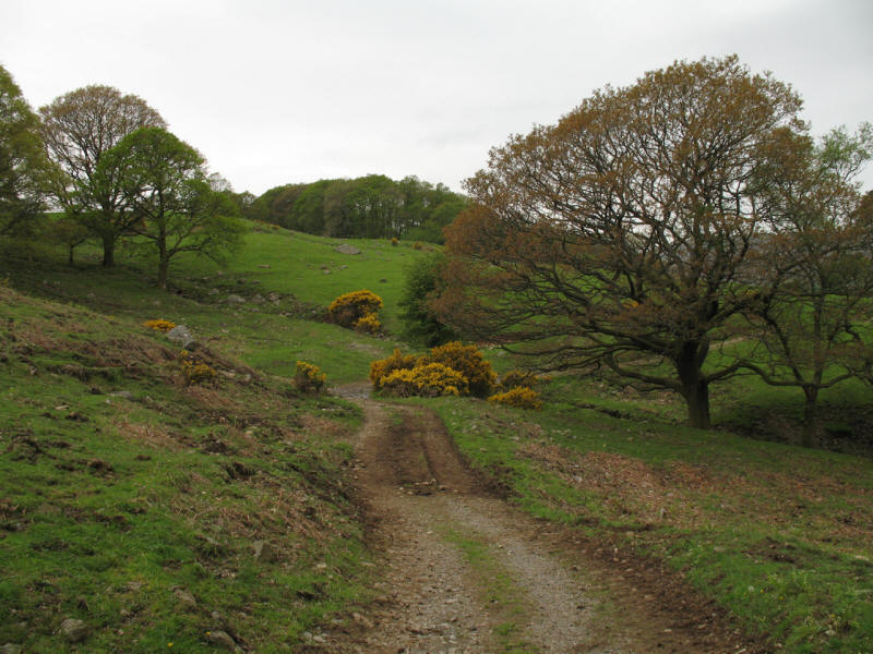
We ascended this delightful old peat road, which zigzags up the fellside. Once
used to bring peat sleds down from the moors, it now provides easy going for
walkers.
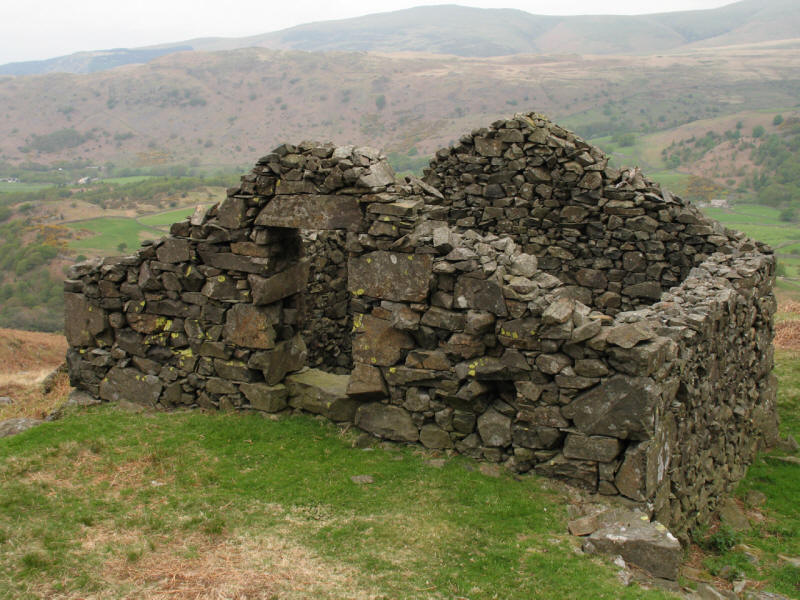
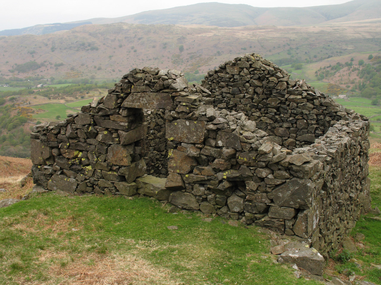
The old peat house
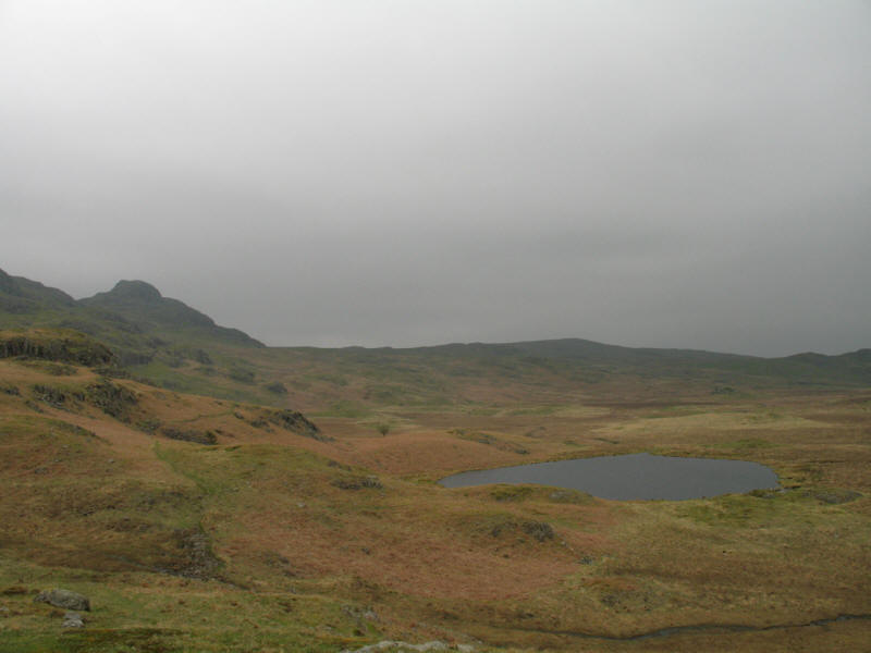
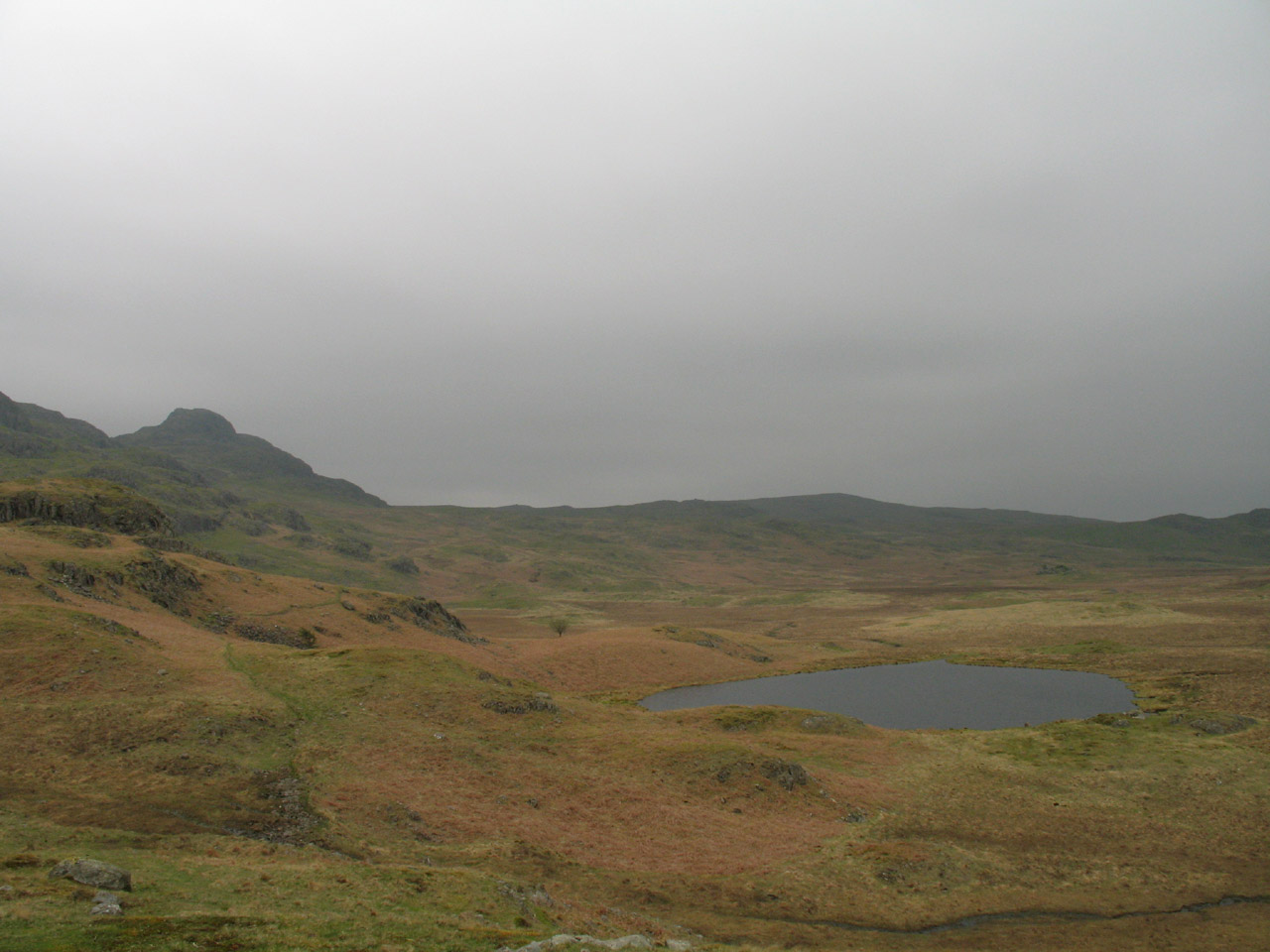
We then passed near Low Birker Tarn...
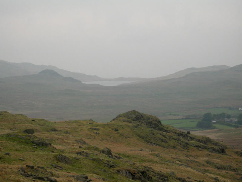
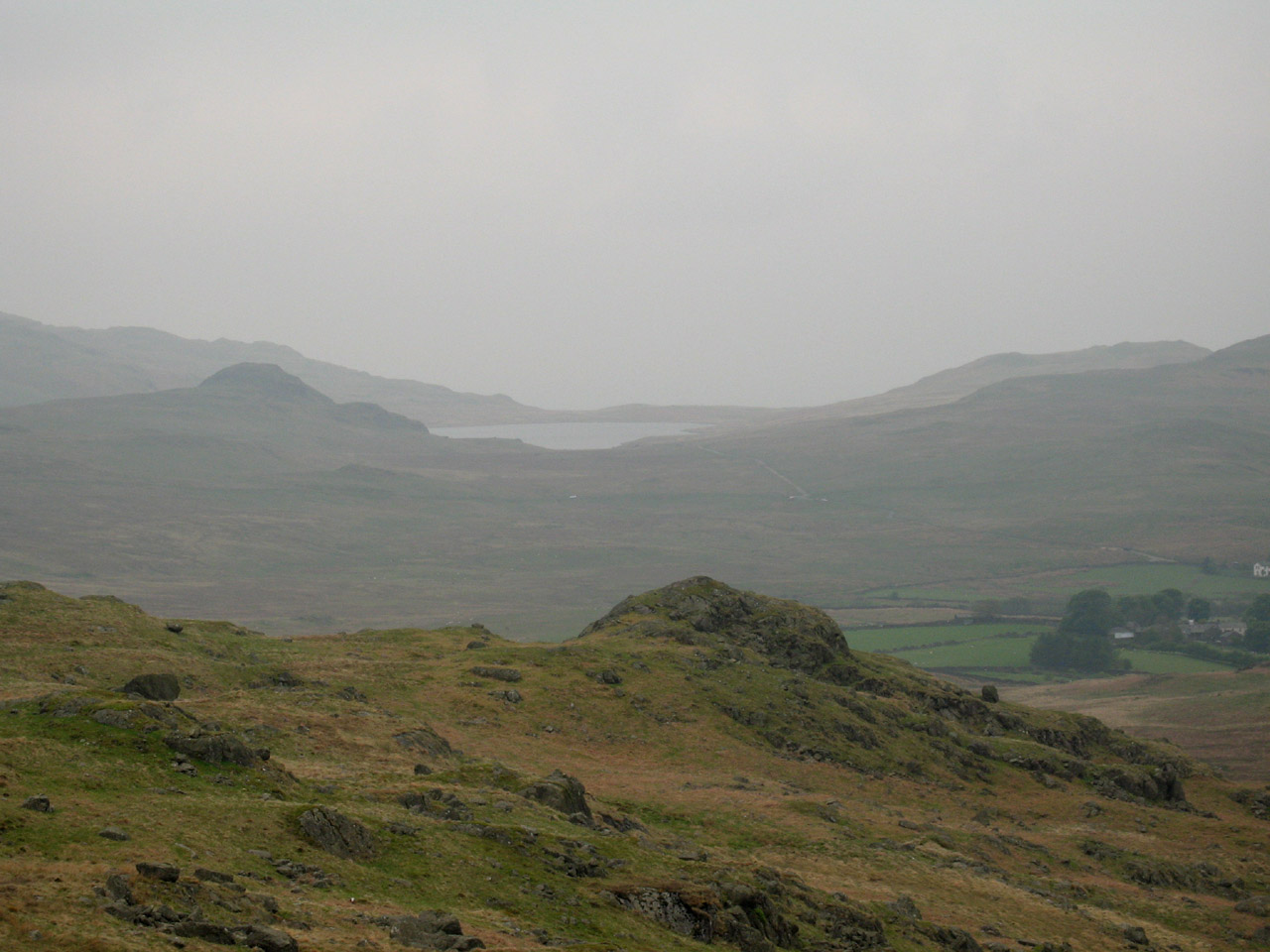
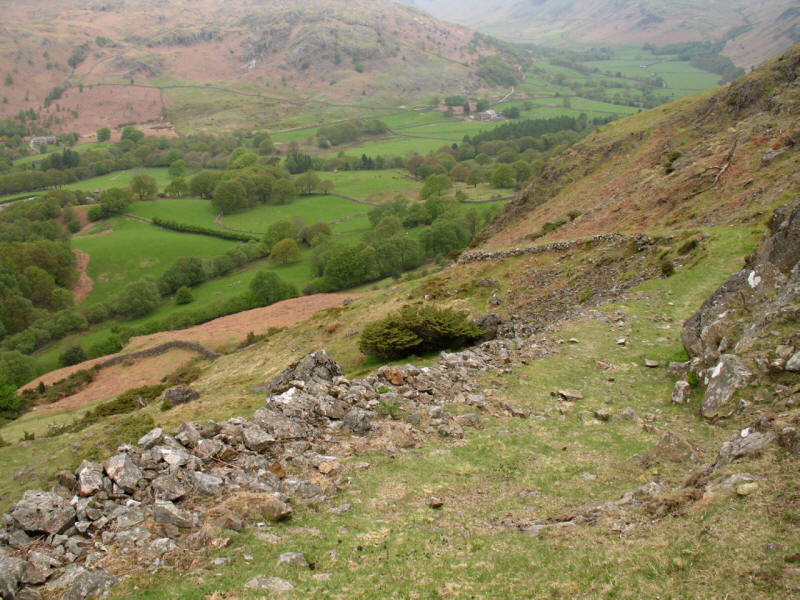
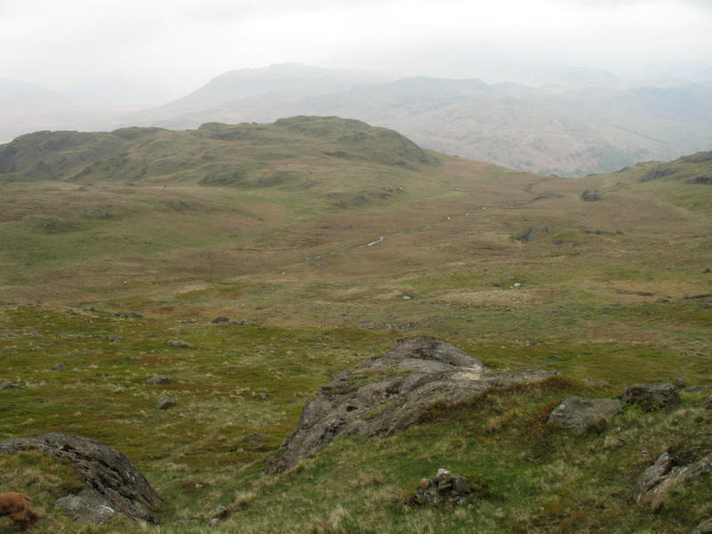
...then gradually ascending the slopes of Crook Crag. Here we look southwest
towards Devoke Water, rather lost in the mist
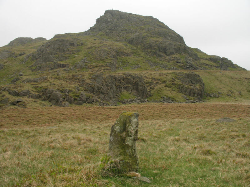
We eventually reached the col between Green Crag and Crook Crag. Here we look to
Green Crag past a boundary stone helping to mark the boundary between Ulpha and
Eskdale parishes.

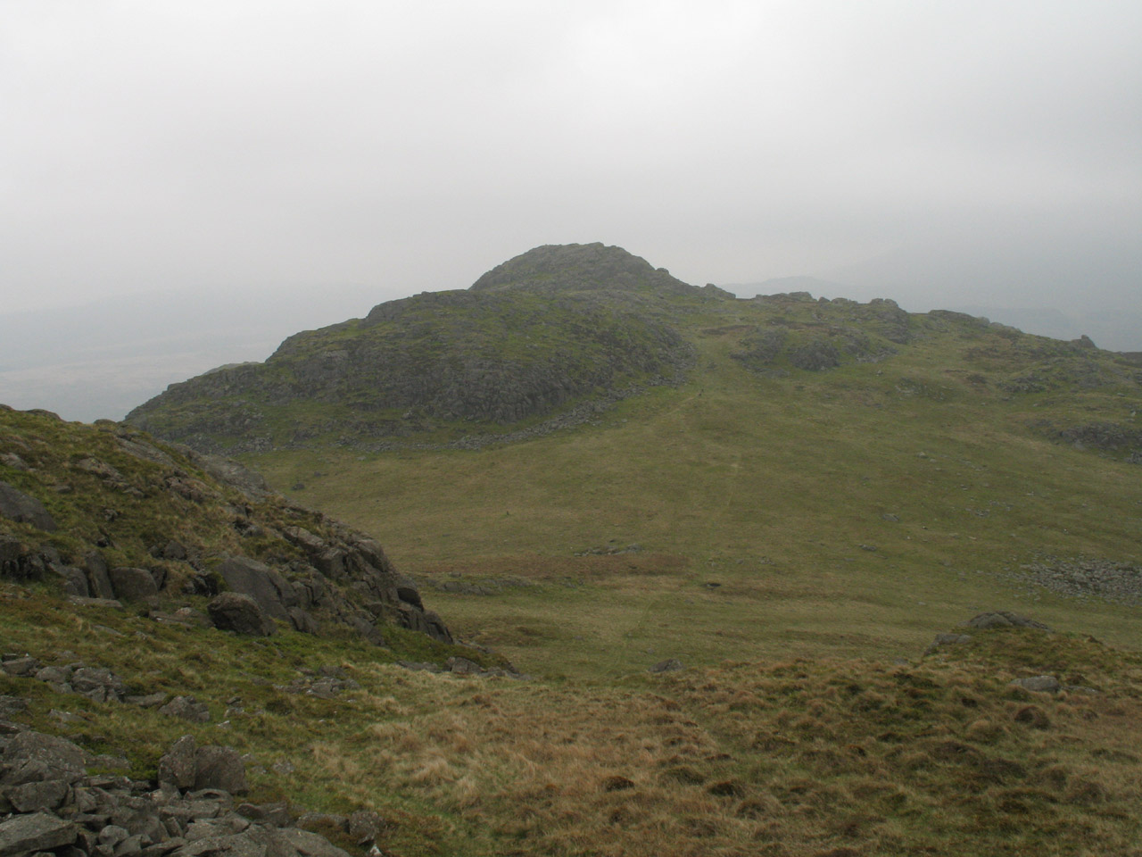
From Green Crag, looking to the Crook Crag
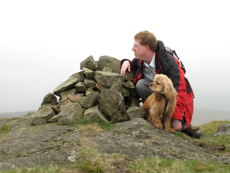
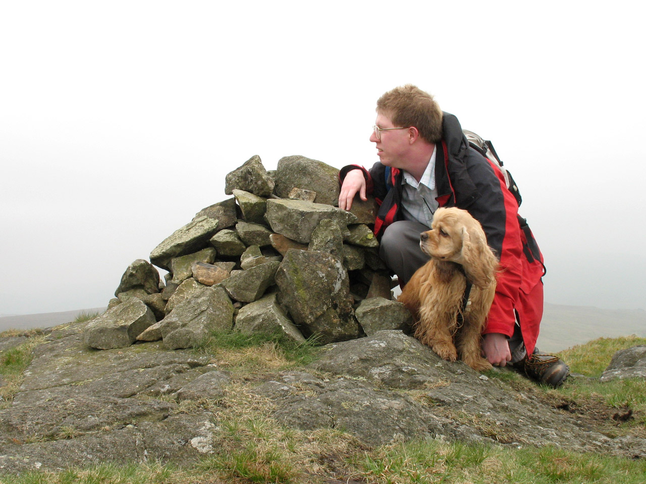
Stephen and George on Green Crag. Not sure what we are looking at!
We followed the path around the east side of Crook Crag, but it then wanted to
head around the left (east) side of Kepple Crag (upper centre picture), whereas our
plan was to follow the beck to the right (west) of Kepple Crag and so join the
path down to Whahouse Bridge

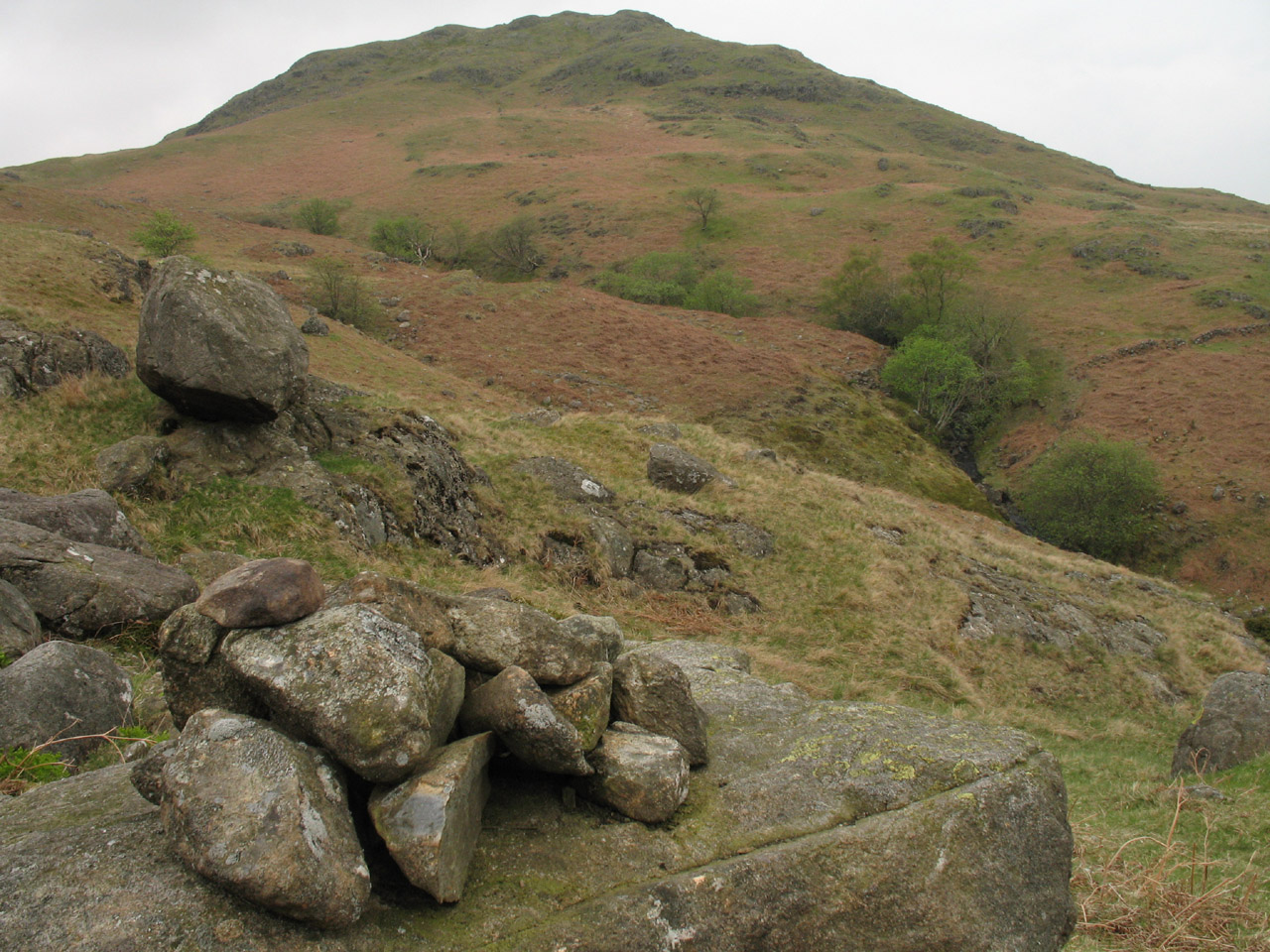
We had an enjoyable cross-country tramp, eventually finding this cairn exactly
where we expected it, and the start of the path descending to Whahouse Bridge.
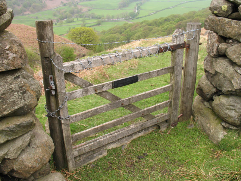
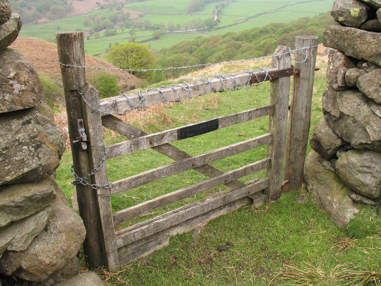
However, we hadn't expected to find the gate in the intake wall padlocked shut
and covered in barbed wire.

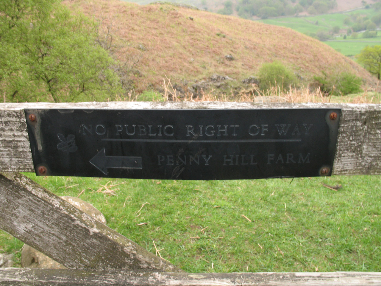
The National Trust sign tells us that this is not a public right of way. It is,
of course, quite right, but we are quite within our rights to be on either side
of the wall, so it isn't exactly inkeeping with the spirit of the Countryside
and Rights of Way Act Access Land provisions, nor with the National Trust's
stated aim of providing access to open spaces. I felt particularly irked having
earlier accepted the invitation to avoid disturbing the farm by using the
permissive path around the farmyard, that this was the "thank you" I received. A
complain has been submitted to the National Trust.
However, a short diversion over the hurdle in the stream brought me back up to
the other side of the gate (demonstrating what a pretty pointless effort the
barbed wire is in practice), and we continued our descent.

Another delightful zig-zag path, either another peat road, or possibly connected
with the nearby mines. In either case, it took us pleasantly down into the
valley where we exited the Access Land and regained the public bridleway across
Whahouse Bridge. As we approached the car, the heavens opened and it rained
solidly for the rest of the day. The timing could hardly have been better!
The irritations about blocked access aside, a good walk with nice variety. The
GPS recorded 10.1km with 587 metres of ascent, taking 3 hours 45 minutes
(including 55 minutes stopped).
Lake District holiday, May 2006
|
|