Medway Valley Walk, and Botley Hill
21 September 2008
On her way to a dog show in Maidstone, Lucy dropped
Stephen off in Aylesford for a short walk along the Medway.
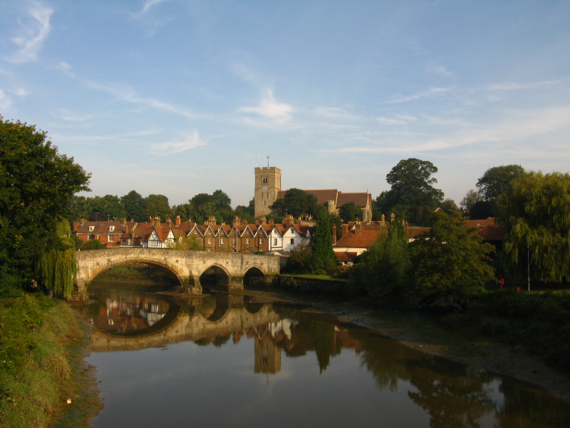
From the new bridge, a look down the Medway to the village of Aylesford and the
old bridge - parts of the bridge date from the 14th century, though the central
span is later.
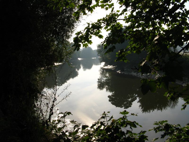
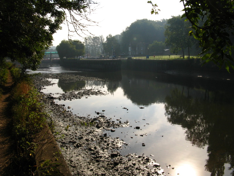
The towpath is rather enclosed by vegetation, with intermittent views of the
river
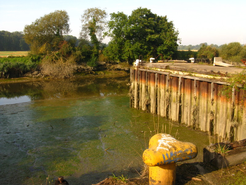
Disused Cobtree Wharf
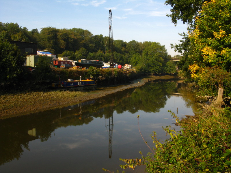
With the M20 bridge in the background, the boatyard has an untidy cluster of
boats on the bank
Allington Lock and the weir, the limit of the tidal section
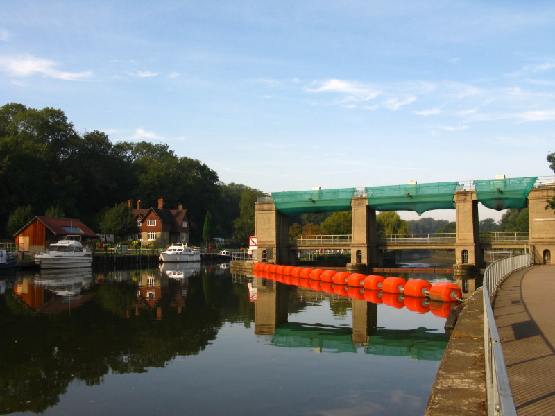
Above Allington Lock
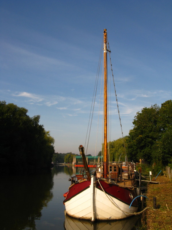
There are quite a few old barges moored here, now acting as houseboats.
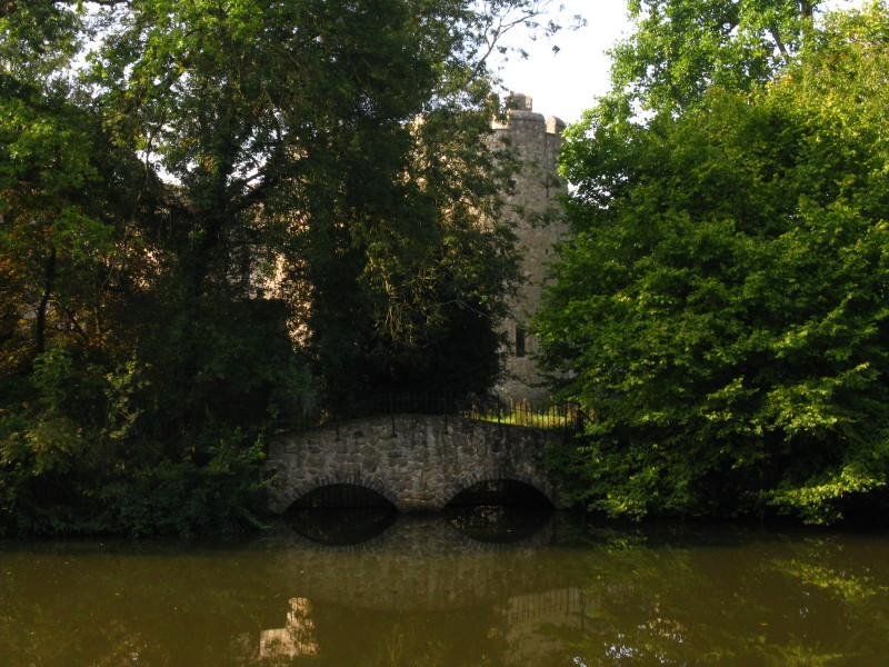
Allington Castle, glimpsed through the trees, was built in 1281, and was
restored in 1905 - it is a private residence, not open to the public.
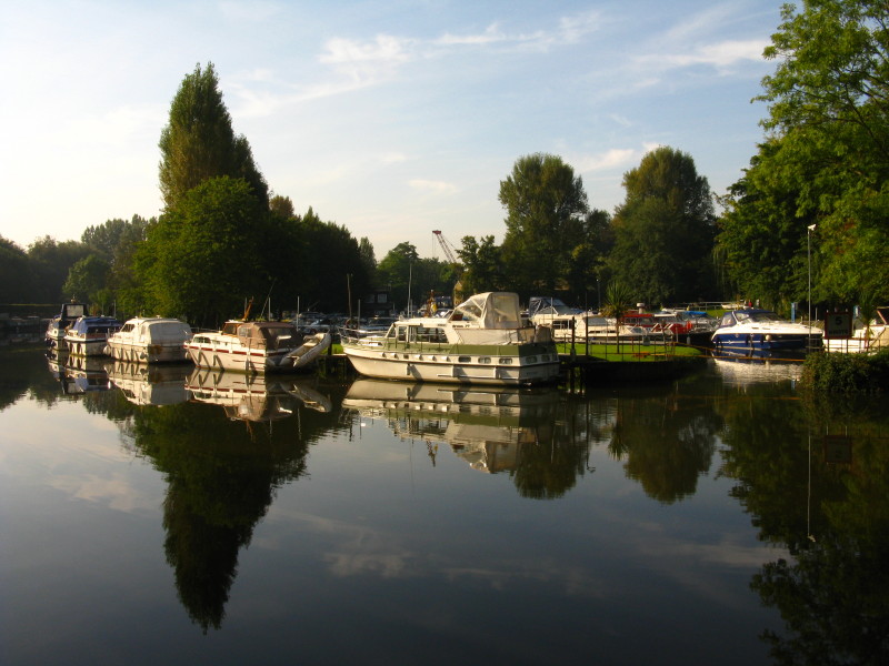
As we continue into Maidstone, another boatyard on the other bank.
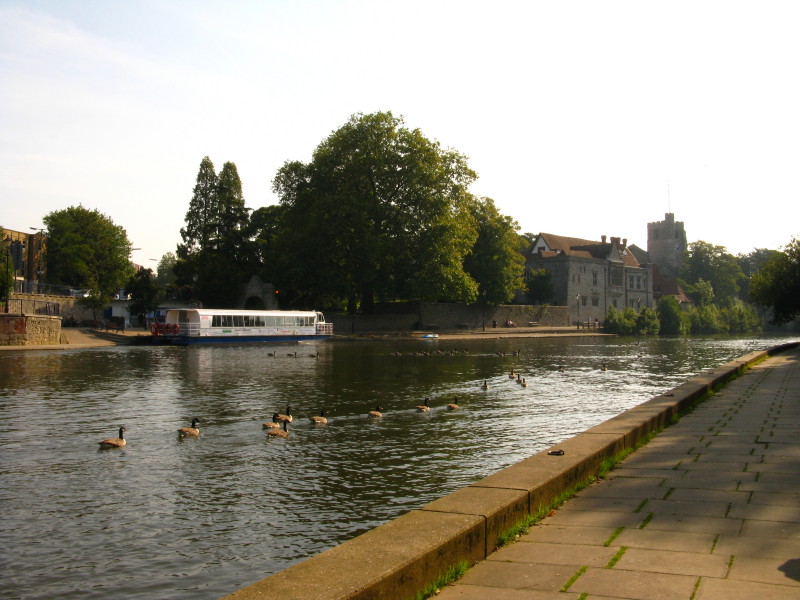
The church and Archbishop's Palace in Maidstone
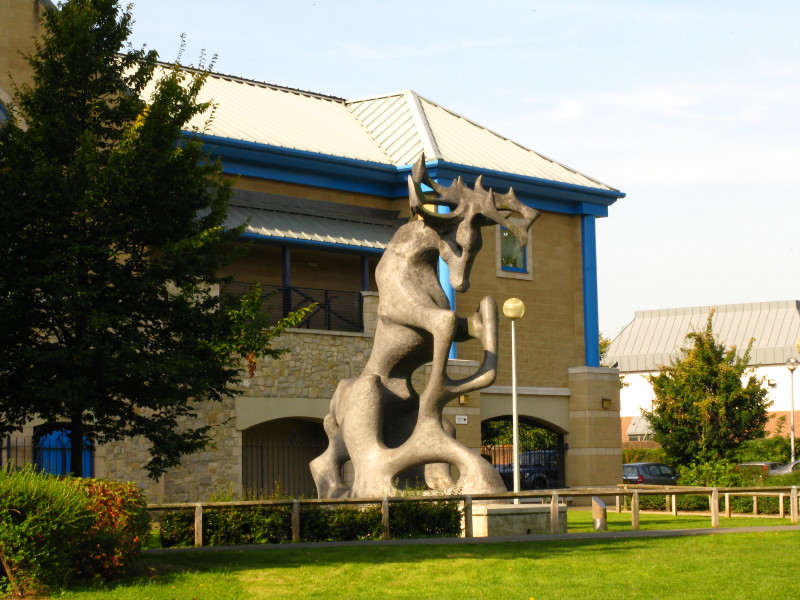
Almost at Market Hall and the end of this morning's walk, an impressive
sculpture.
Zoom in for more detail, or see map in larger window: Ordnance Survey |
Open Street Map |
Google Maps
Total: 6.6km in 1 hour 30 mins.
Botley Hill
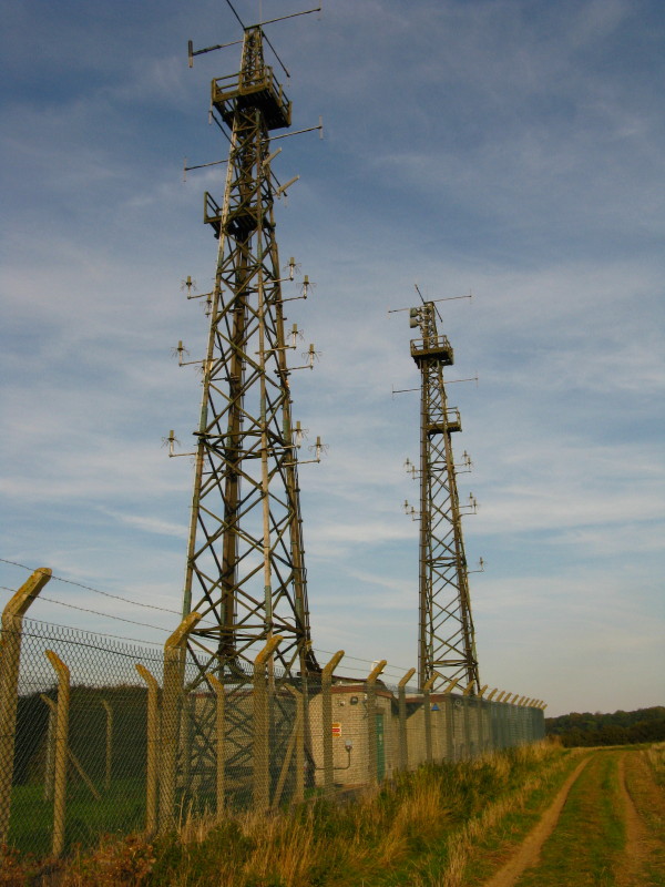
An unexciting picture, but some evidence that Stephen has visited the relocated
summit of Botley Hill, completing (again) the
Marilyns of Region 42.
|