Burnbank Fell, Blake Fell and Gavel Fell
13 February 2010
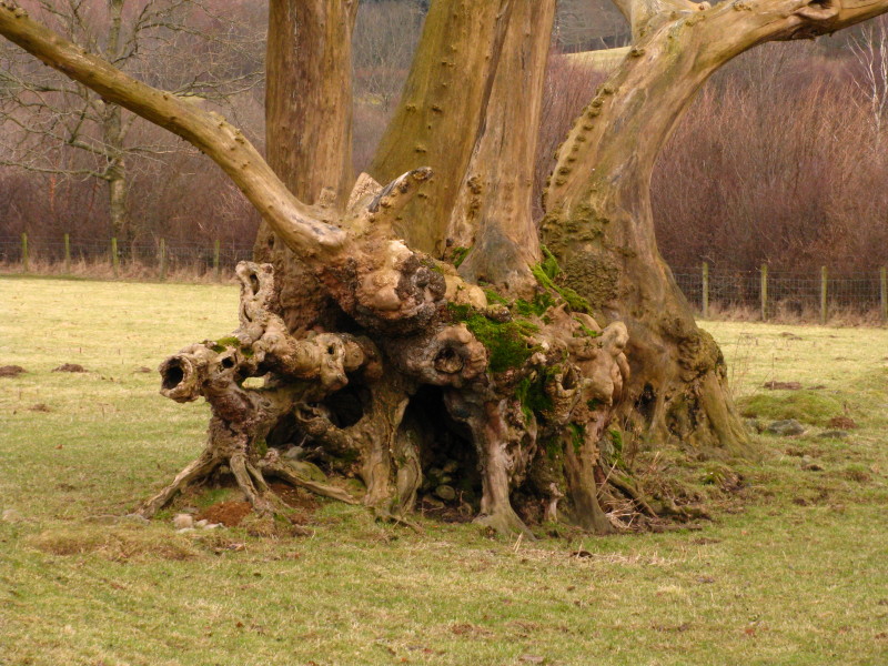
An interesting tree as we make our way across the flat land between
Loweswater village and Loweswater lake
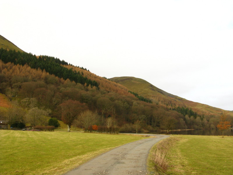
Heading for Watergate Farm; our route lies through the wood, first on
the level then cutting back uphill
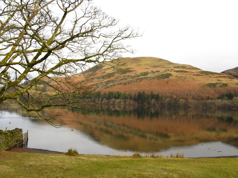
Loweswater Fell across Loweswater
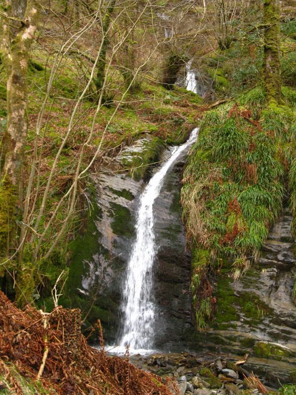
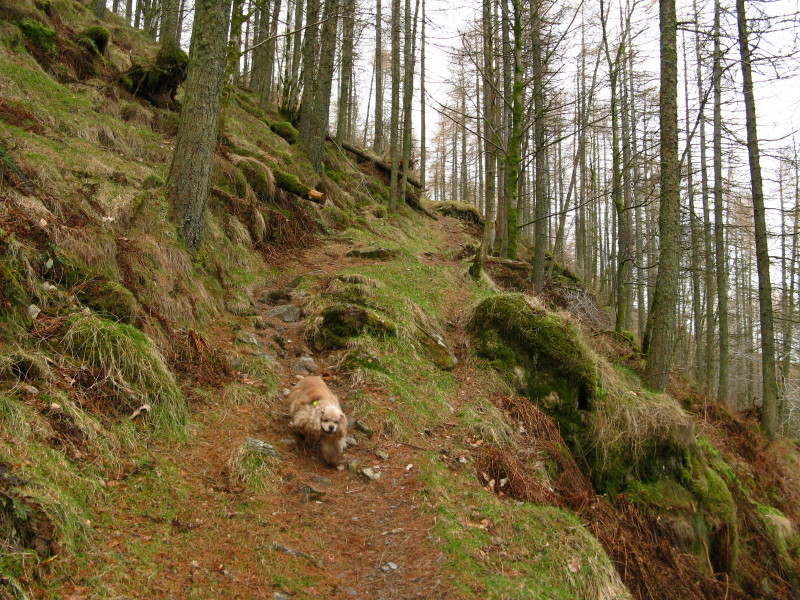
Holme Force - on the recommendation of Alfred Wainwright we have taken a
slightly circuitous route through the wood in order to pass this rather
pretty waterfall.
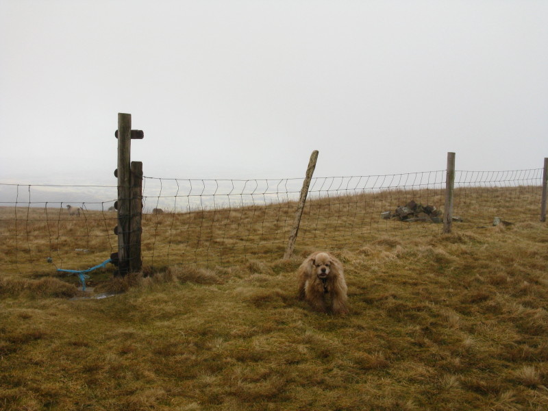
George coming back to get me - again
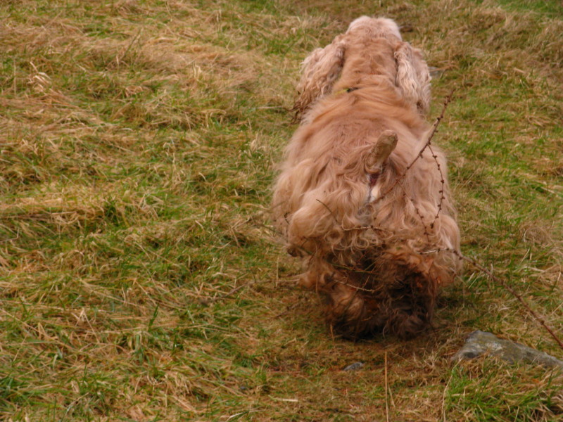
All woodland is a problem for George's fluffy legs, but this seemed far
worse than normal, and I was pulling several of these twigs off him
every minute.
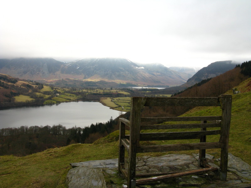
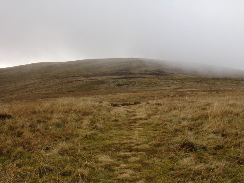
At last George is out of the woods and onto the open fell (where he can
find some bracken). This bench is on a lovely site, but has definitely
seen better days. Fells with their tops in the clouds suggest we are
going to have the same problem as yesterday.
The steep bit - it's a lot steeper than it looks. George will have no
problem but it's hard work for me.
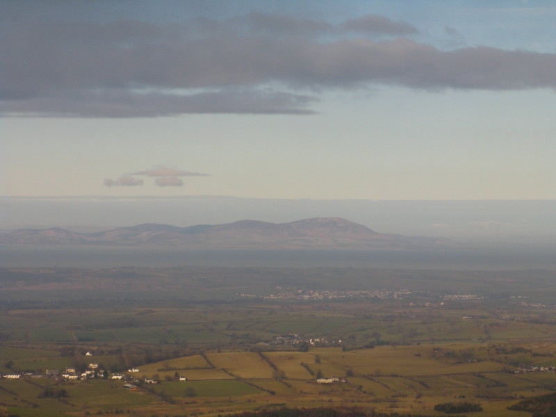
Looking across the Solway Firth to Scotland
The steep bit is done, and a more gentle ascent remains...
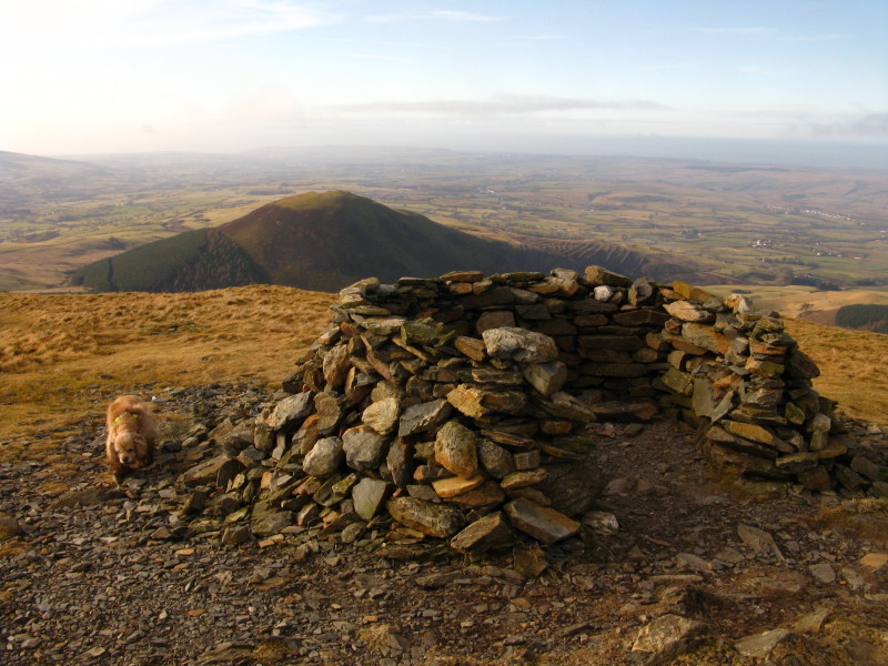
...to the top of Burnbank Fell.
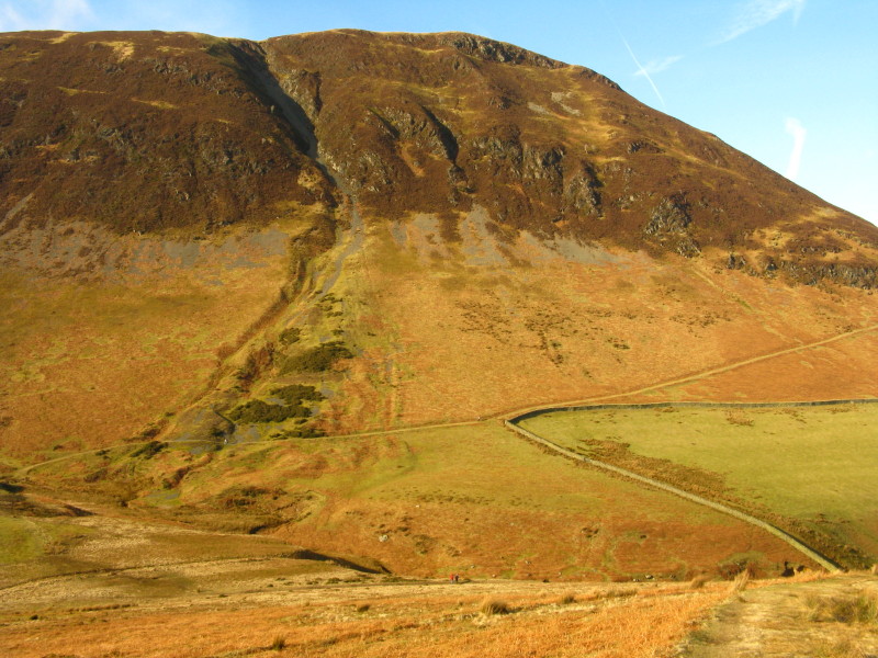
As we climb towards Blake Fell, a look back to Burnbank Fell
The clouds are lifting and parting, and we have hazy sunshine as we
reach the highpoint of today's walk, the top of Blake Fell. This is
Stephen's 107th Wainwright summit, so just 107 more to visit.
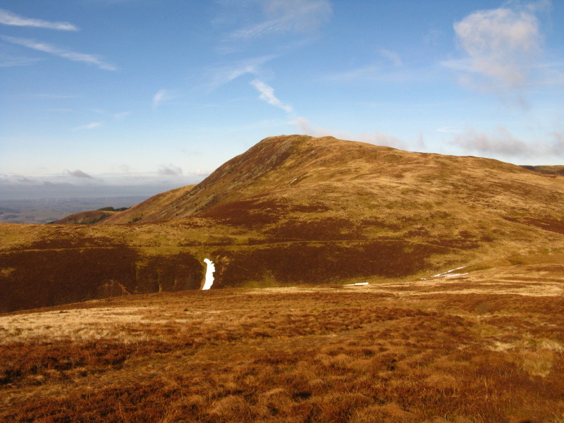
Our route to Gavel Fell lies on and then to the right; Hen Comb is
centre picture.
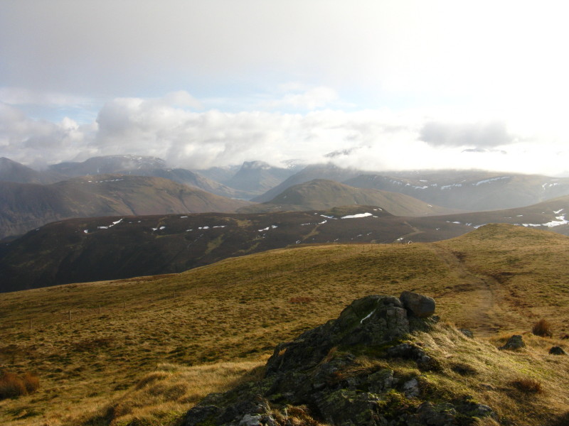
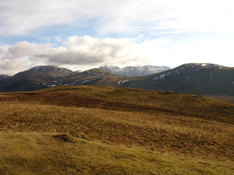
Looking across Mellbreak to Grasmoor and its surrounding fells
Gavel Fell is now clearly in view: beyond is Great Borne behind which is
Ennerdale
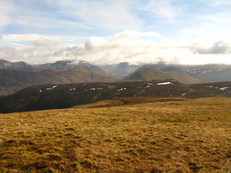
Looking past the head of Ennerdale to Pillar
Back to Blake Fell
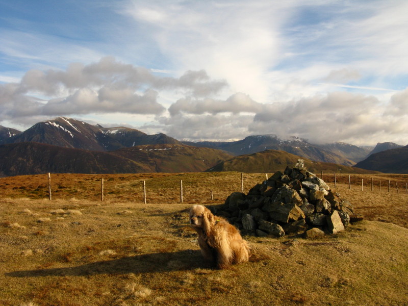
The summit of Gavel Fell. Sunshine - hooray!
Another look at Pillar and the high fells
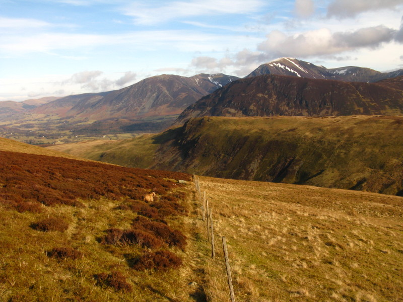
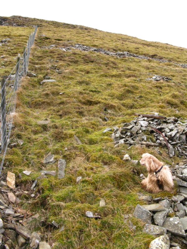
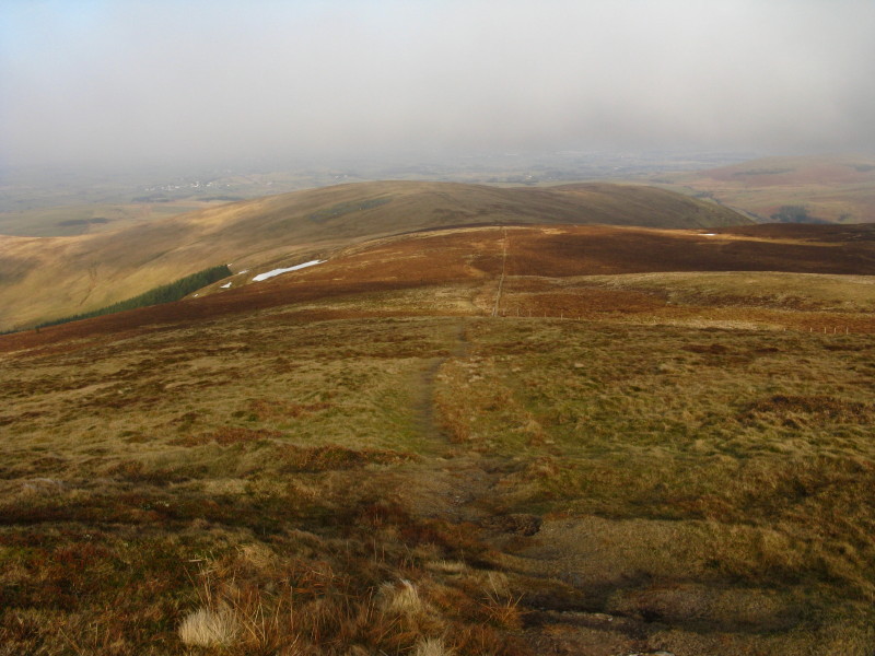
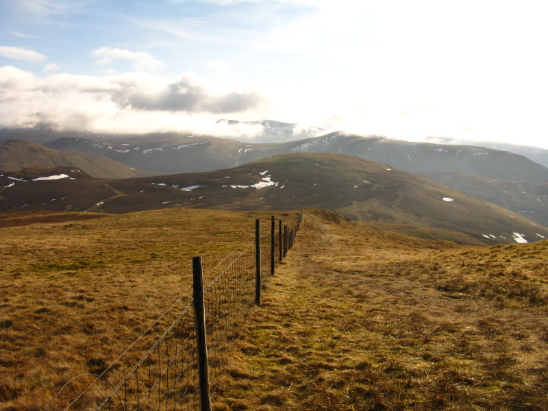
Following the fence down into the Whiteoak Beck valley
We find this drove road which we follow along the side of the valley
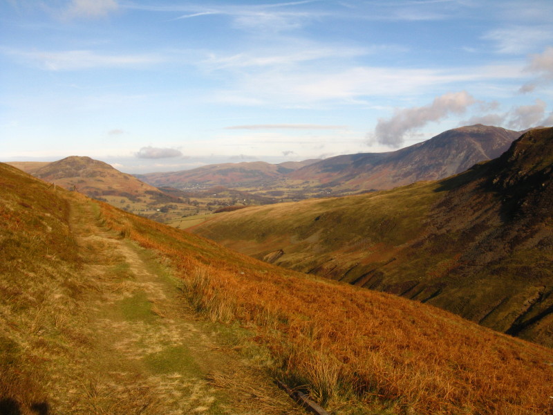
Heading down, with a good view of the side of Carling Knott
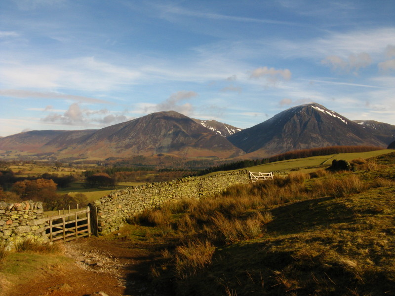
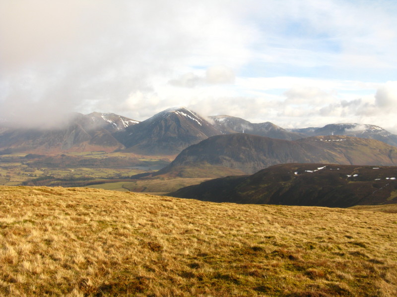
Almost back at Maggie's Bridge, and a beautiful view of Grasmoor (right)
and Whiteside (left).
Zoom in for more detail, or click to view larger map in new window
A surprisingly enjoyable tramp across easy ground - maybe I should have included
Hen Comb as originally planned, but I was a bit worried about crossing Mosedale
Beck afterwards.
Total distance 11.6 km and 638 metres of ascent in 3 hours 45 mins
Lake District holiday, February 2010
|
|