Nine Standards Rigg
14 February 2010
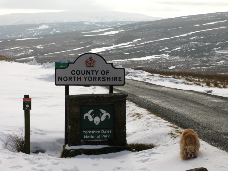
Our start point - George is just back from a brief exploration of
Yorkshire.
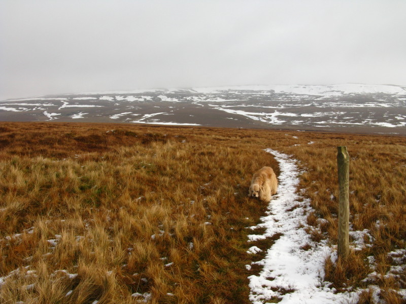
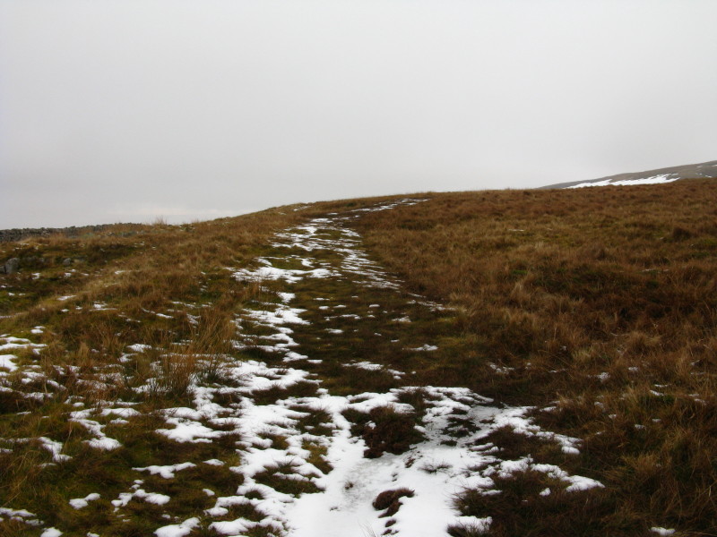
We head off into Yorkshire, briefly following this track
...before it quickly disappears. But the cold weather means the pathless
cross-country trek across Lady Bog isn't particularly arduous
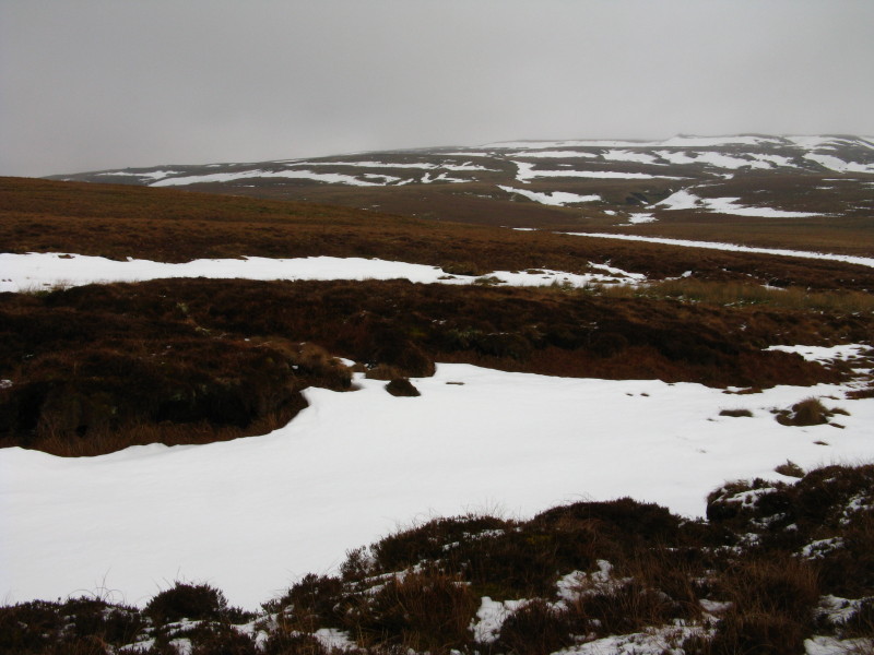
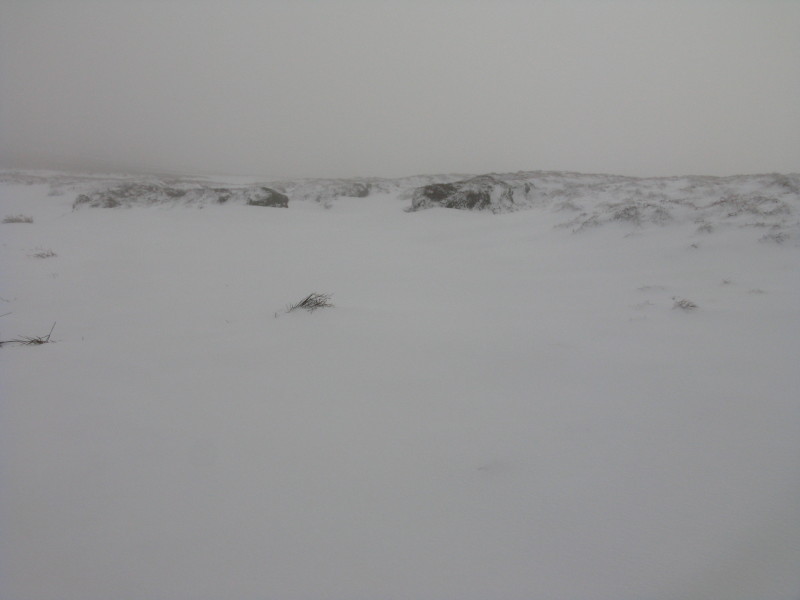
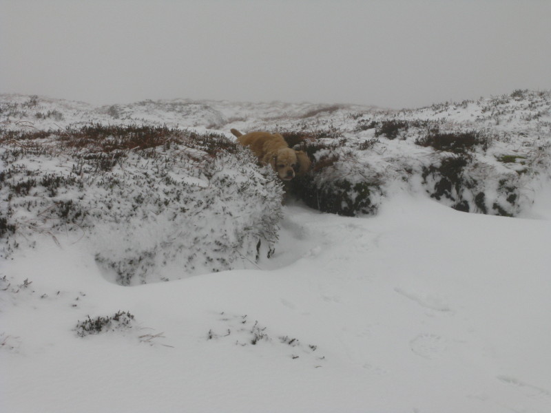
It's all a bit wild
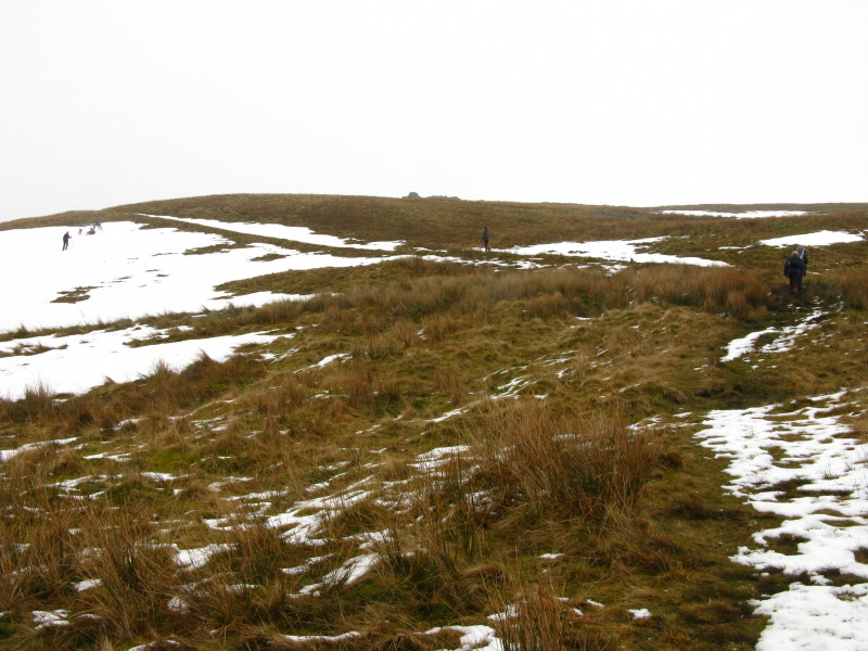
On the far side of Rick Beck near the drystone wall we find a path,
which we are able to follow most of the way
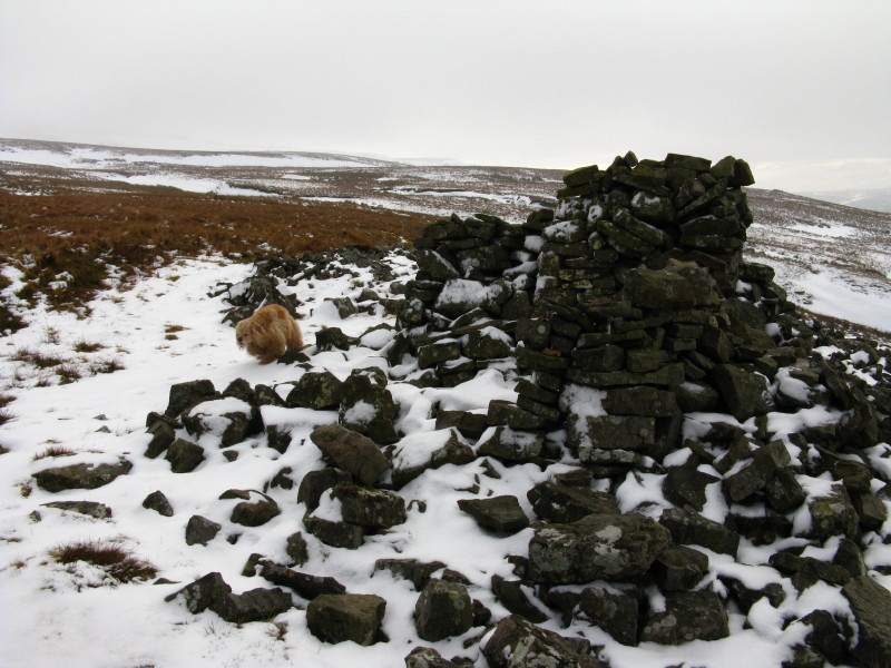
A rather tumbledown shelter
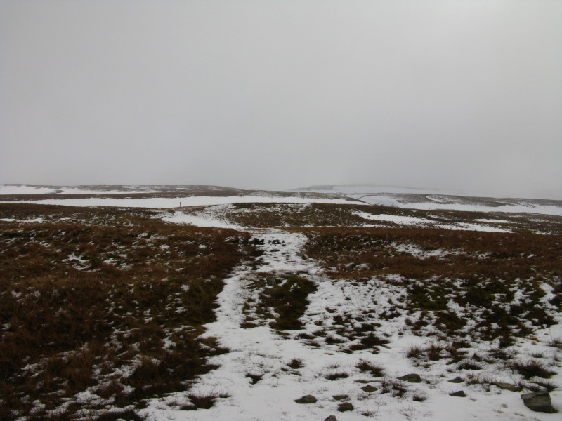
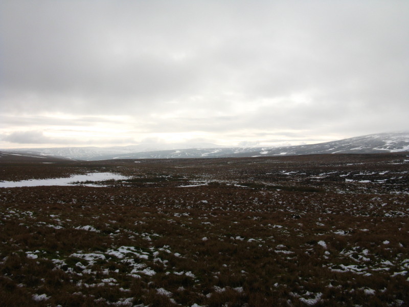
Somewhere up there in the mist is our objective
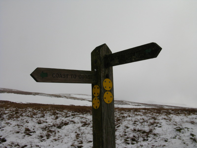
We leave the winter route of the Coast to Coast and continue upwards
It's getting a bit snowy
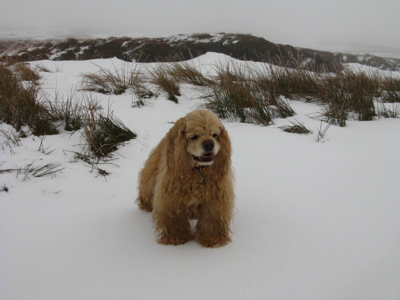
But George is still enjoying himself
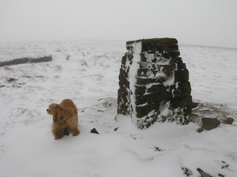
The trig point summit of Nine Standards Rigg
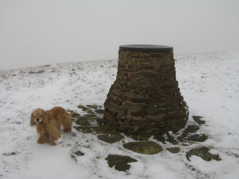
And the viewfinder summit - always helpful these viewfinders when all
you can see is fog. Note George's foot which is starting to get a bit
icy.
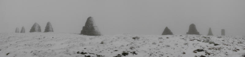
A short distance north of the viewfinder, we find the nine standards
themselves. No-one knows for sure why they are here, but some of them at
least are thought to be hundreds of years old.
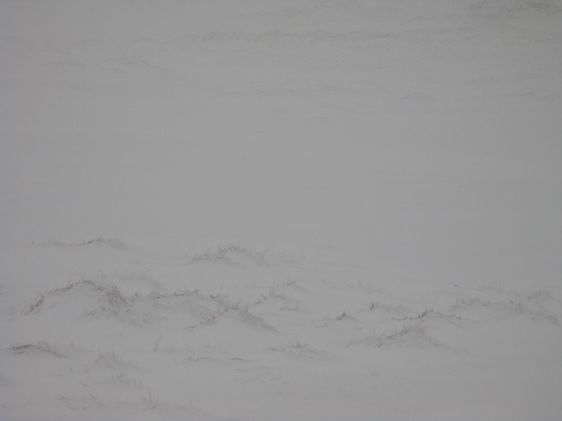
The weather is a bit white, though.
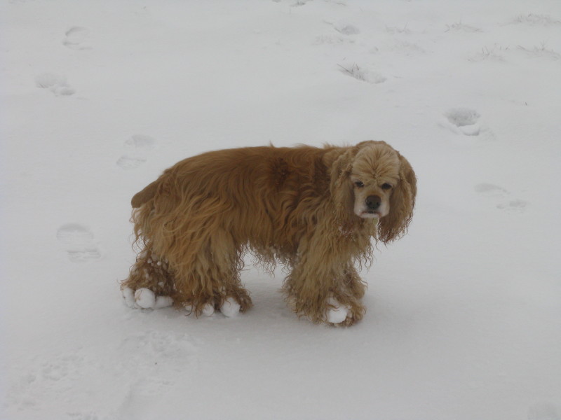
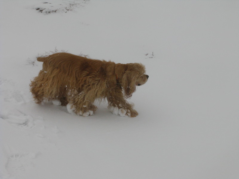
George with growing amounts of snow and ice on his legs. His pads have
been cut short underneath so remain pretty clear of ice, so it isn't
causing him any distress.
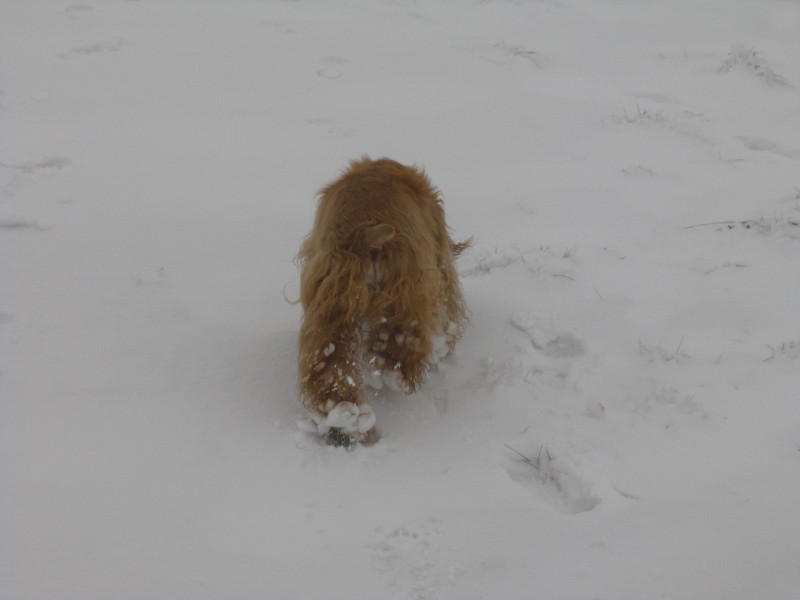
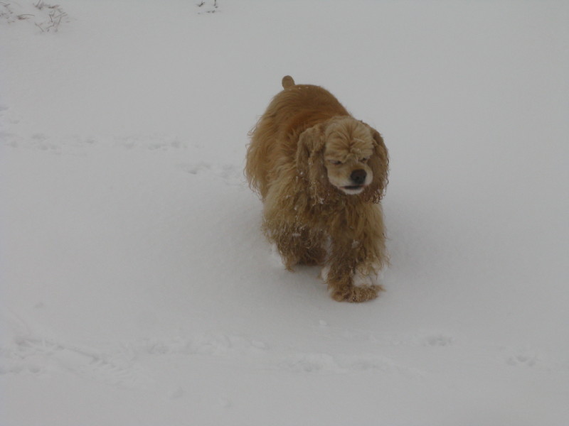
George runs ahead - he was still scampering around, running twice or
three times as far as me.
George comes back to fetch me.
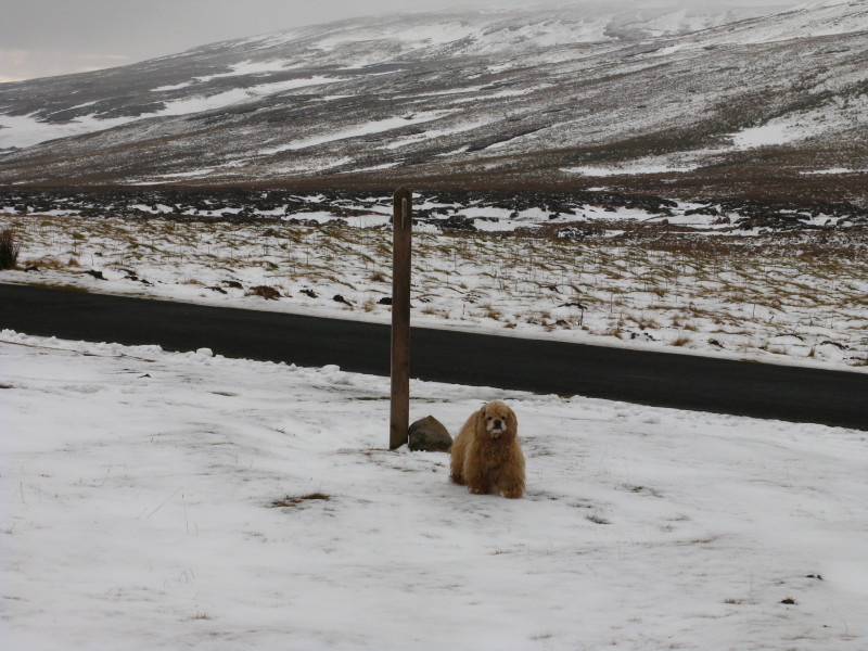
From about here, as we continued to descend, it gradually warmed up and
the amount of ice and snow on him decreased.
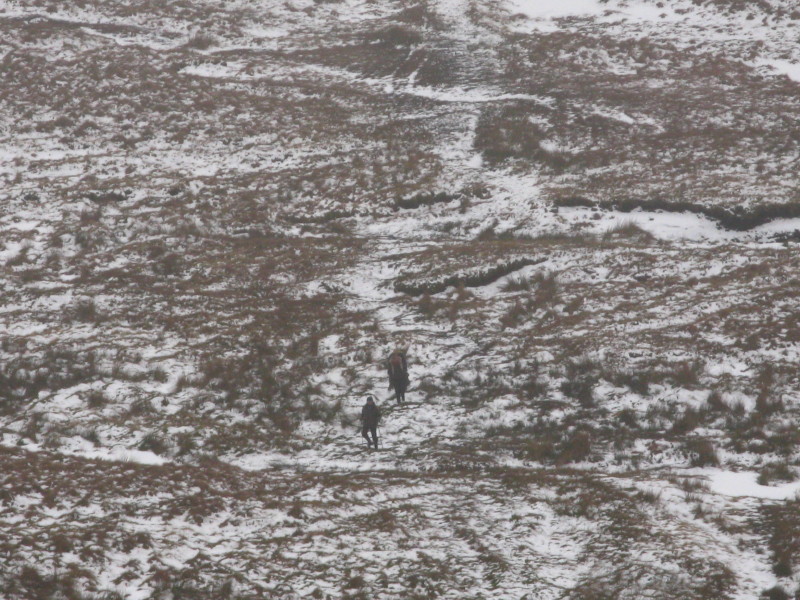
More people out and about
A group of six plus dog, on their way up
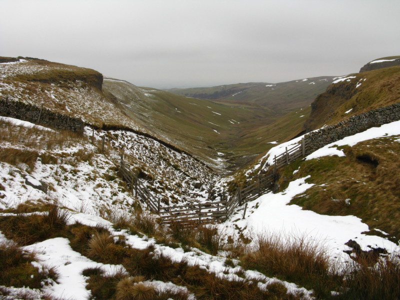
Crossing Rigg Beck again
Rather than retracing our steps, we continued to follow that path, and
found that (as you can see from the map, below) it largely followed the
route of the public bridleway, despite the bridleway not showing on the
OS 1:25 000 as being visible underfoot. In fact, the 1:25 000 and 1:50
000 don't agree as to where there are paths, and neither agree with my
observations on the ground. Not terribly helpful. From here it was just
a short walk along the road back to the car.
Zoom in for more detail, or click to view larger map in new window
A really enjoyable walk - though I'm glad we found that path as it did make
things a bit easier underfoot.
Total distance 7.1 km and 219 metres of ascent in 2 hours 5 mins
Lake District holiday, February 2010
|
|
