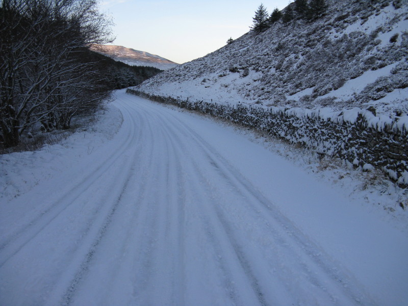
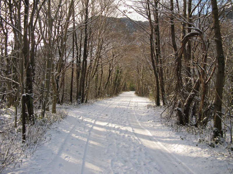
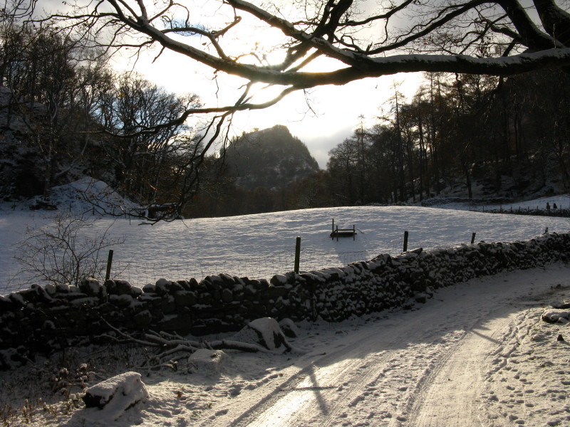
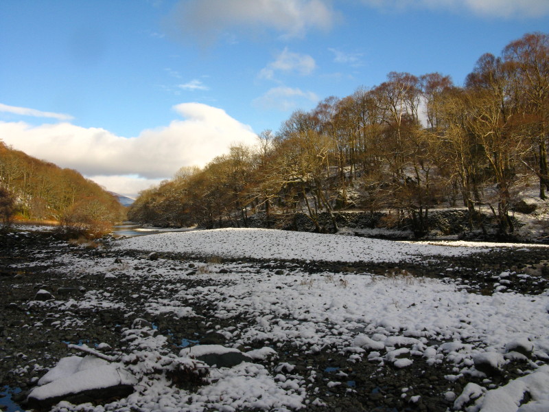
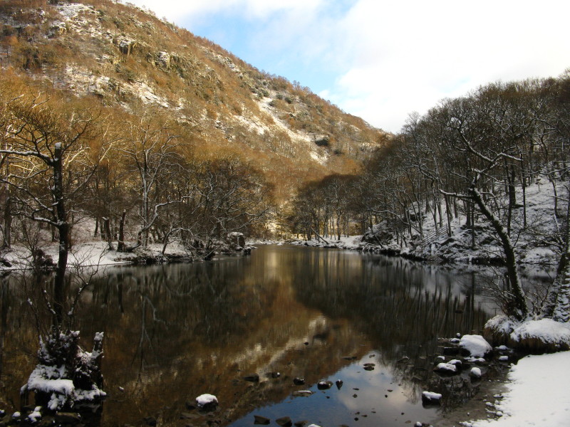
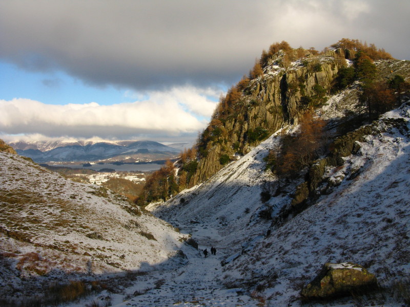
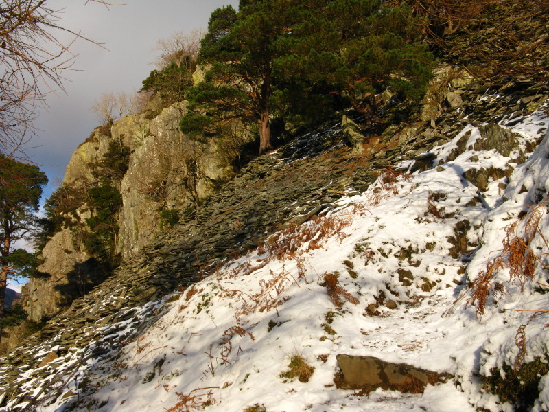
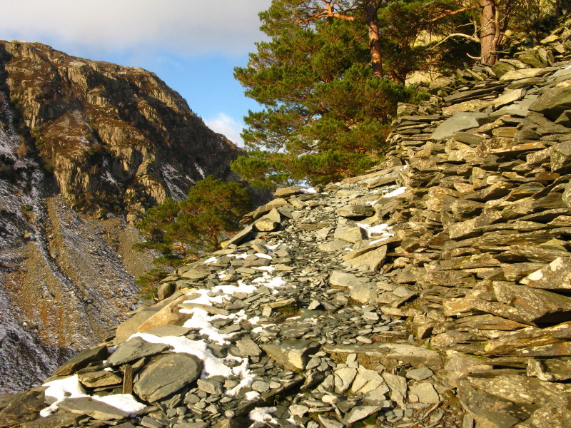
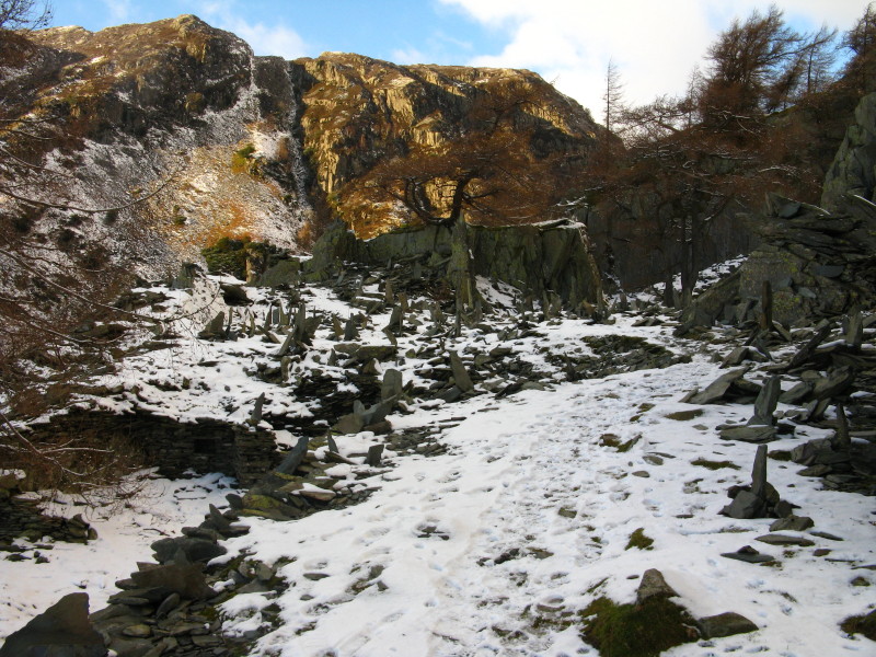
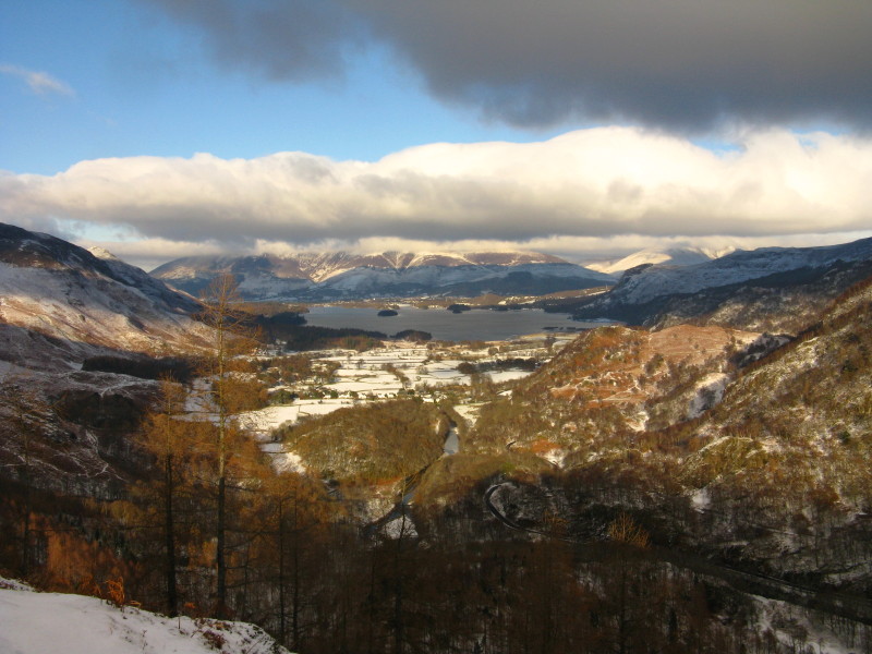
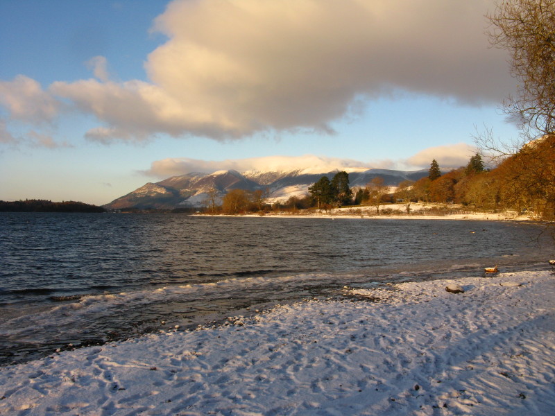
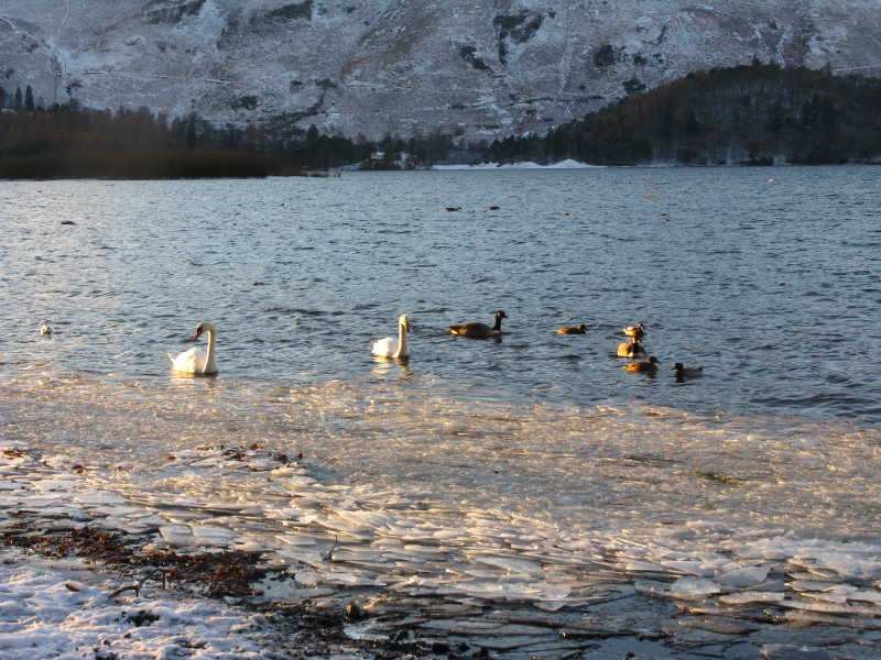
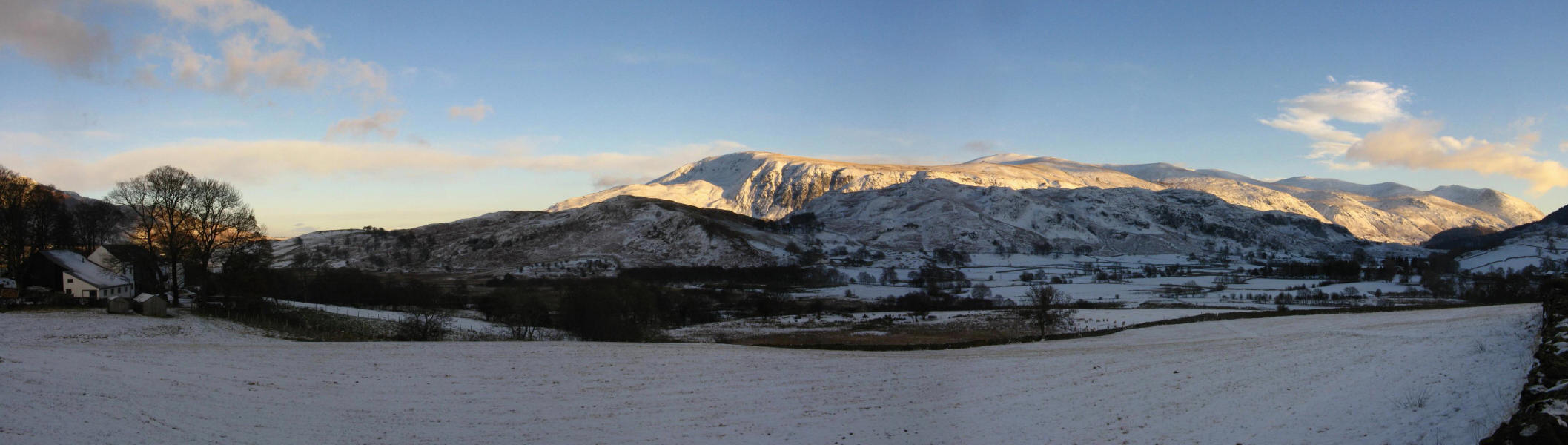
Castle Crag

27 November 2010

I woke and got up in the dark, as planned, had breakfast, finished packing my bag and picked it up to go out of the back door, to find that it had snowed during the night, which I wasn't expecting. It was only a light dusting, and I proceeded as planned towards Buttermere, but as I travelled north through the Lake District, it became clear that there had been a good deal more snow further north, and that crossing the Honnister Pass was not a practical proposition. I decided to try the Whinlatter Pass, as a more gentle route, and just about managed it, though with hindsight it wasn't a good plan, particularly as all the crawling around at 10 mph meant that I started to run low on fuel and decided to divert to Cockermouth to fill up, making the crossing of Whinlatter a pointless exercise. I then turned towards Buttermere, and managed, with some effort, to make it to Buttermere village but balked at the climb out of the village. As I was by now worried about whether I would get back up a hill near Lanthwaite, I abandoned the whole plan and turned tail for Cockermouth again, and from there headed back towards Keswick. After almost four hours of travelling, I stopped for a rest by Bassenthwaite Lake, and plumped for a new plan - a visit to Castle Crag, the lowest of the Wainwright fells. After another abortive motoring experience heading towards Grange through Portinscale (which wasn't my plan, but I instinctively followed a sign), where a car was being pushed out of a hedge, I returned to my plan to take the main Borrowdale road to Grange, which I managed without too much difficulty, and arrived at Grange a mere 4.5 hours after leaving the house.


The Whinlatter road - no real difficulty on the level.


Walking along the bridleway from Grange through Holmcrag Wood


The new target for the day: Castle Crag


There wasn't a lot of snow, but some of it was compressed by earlier walkers, and there was ice hiding under bits of it.


Snow on the River Derwent


Reflections upstream


Emerging from the woods onto open fell, with the track running between the steep slopes of Castle Crag to the left and High Spy to the right


Castle Crag


I walked past the route up Castle Crag in order to get a better photo: the route lies from near those people, up amongst the trees to the slate waste just visible top right, and then up the slate piles to the crags near the top.


The snowy path on the right


Once I reached the slate waste, most of the snow and ice was left behind.


From the top of the slate waste pile, the view up Borrowdale


Some of the very many, very odd, cairns with upright pieces of slate that fill this area.


From the summit area, looking north along Borrowdale to Derwentwater, with Skiddaw beyond with its head in the clouds


The highest point is this little crag with a memorial stone and little construction on top, reached by an easy scramble from the left. The fell was given to the National Trust in memory of the first soldier named on the stone, with the other men of Borrowdale who died in the First World War also being remembered.


From the memorial, across Borrowdale to King's How


Returning along the Borrowdale road, a snowy beach


...with some ice forming on the lake


Just past Keswick, a look at the Helvellyn range


From the A593 near Woodland, the view between Walney Island (left) and Millom (right) to Wales, with Carnedd Llewelyn the highest, Snowdon to its right about 95 miles away, and the hills of the Lleyn peninsular to the right, 105 miles away.


A variety of wind turbines, turbine construction, and gas platforms fill the Irish Sea from here.


Zoom in for more detail, or click to view larger map in new window

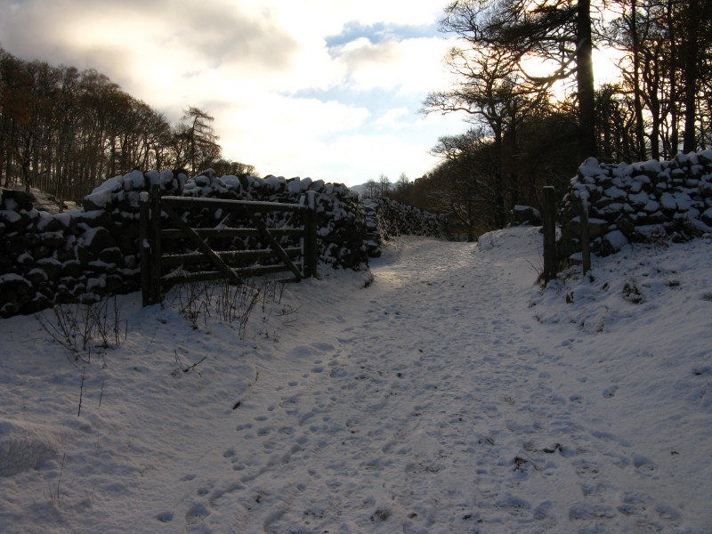
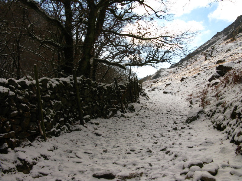
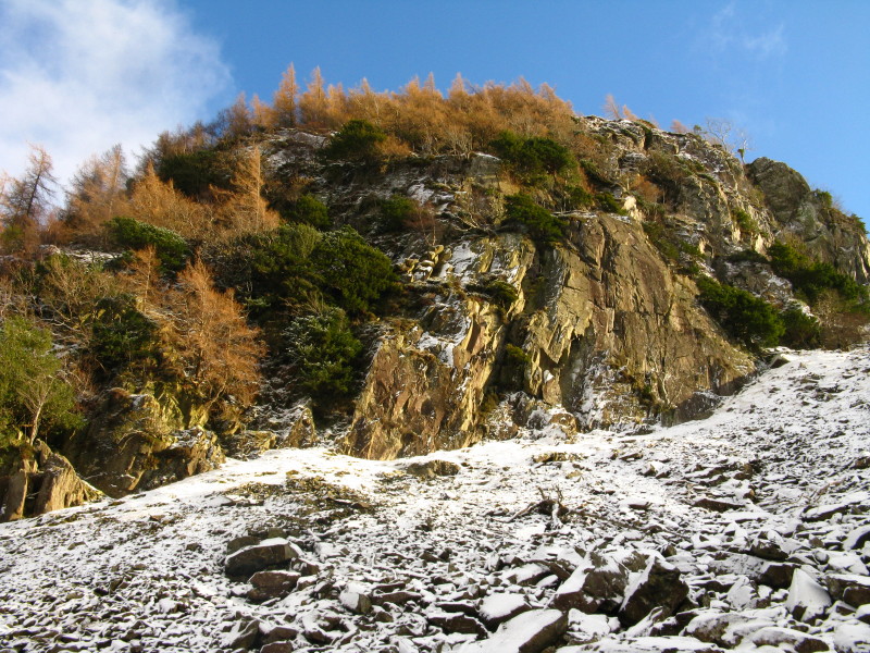
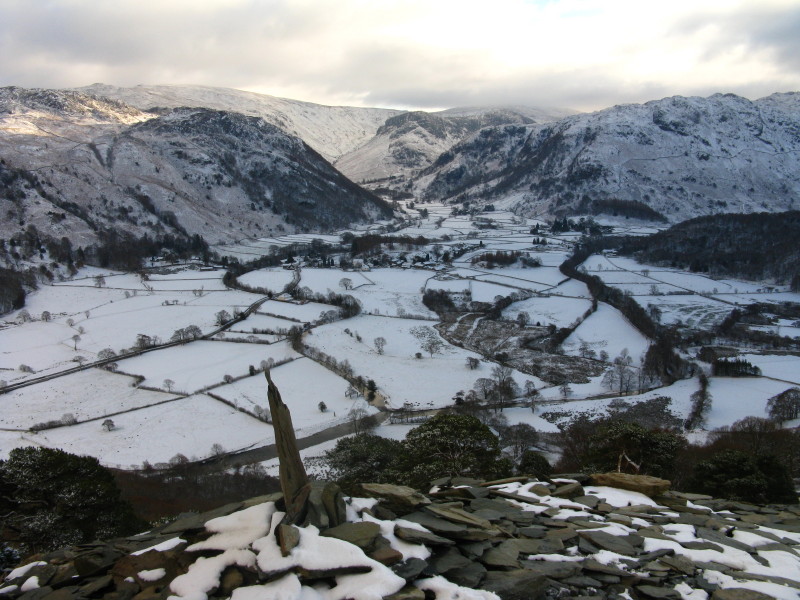
A big change and big comedown from the originally planned walk, and thus not quite satisfying, but a good walk nonetheless.

Total distance 5.2 km and 280 metres of ascent in 2 hours 26 mins (including the return visit to Heron Pike to pick up my camera)


Back Up Next

Unless otherwise stated, all images copyright (c) Stephen and Lucy Dawson