Fairfield Horseshoe
26 November 2010
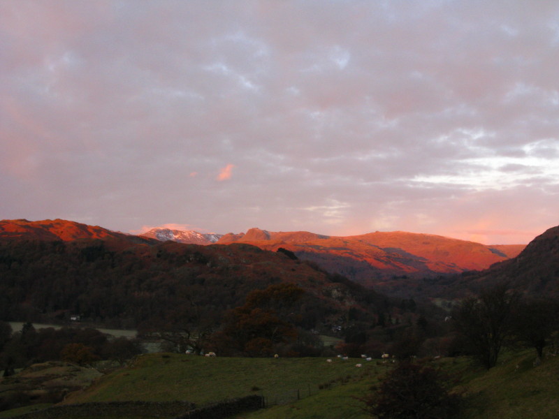
Sunrise on the Langdale Pikes with a little snow on Bowfell to their left.
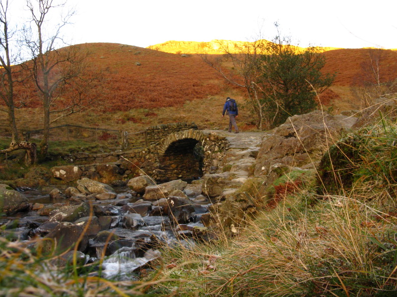
I decided to use the route via High Sweden Bridge, which - though pleasant
enough - somehow wasn't as special as I'd thought.
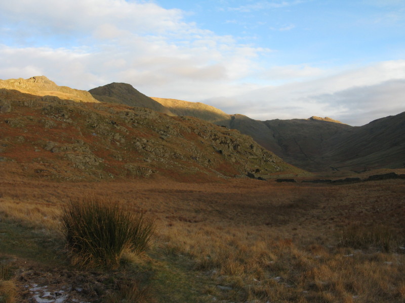
Looking up Scandale; my route lies along the ridge to the left
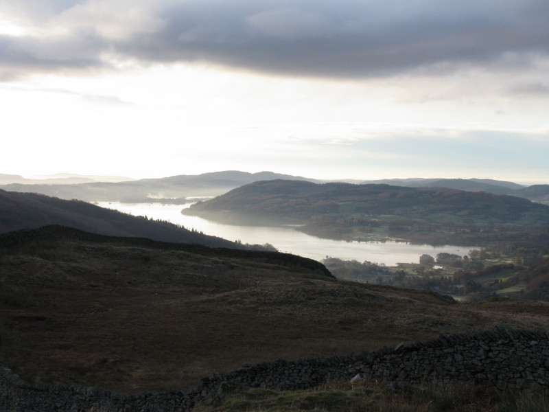
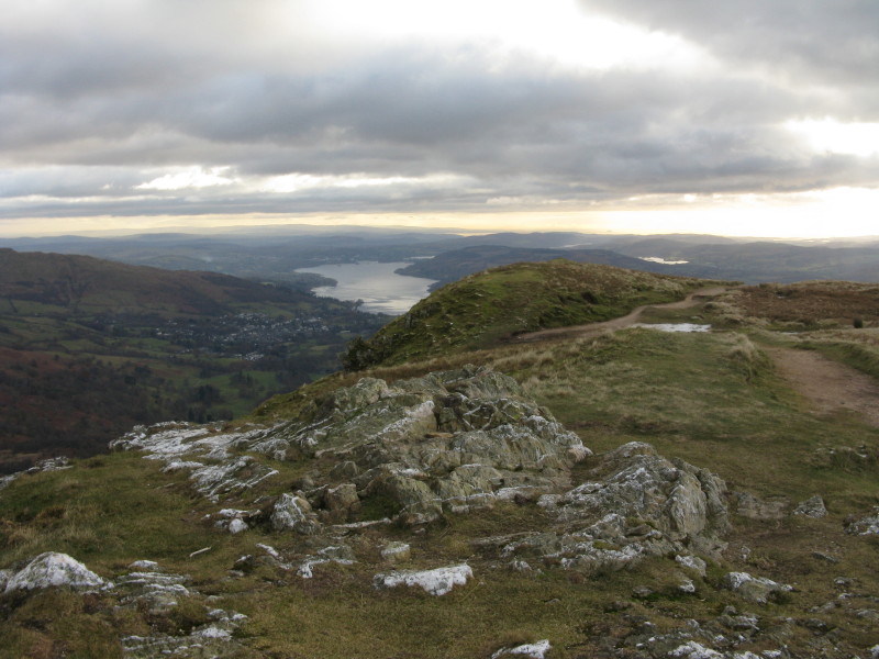
Approaching the ridge wall, a look back along part of Windermere
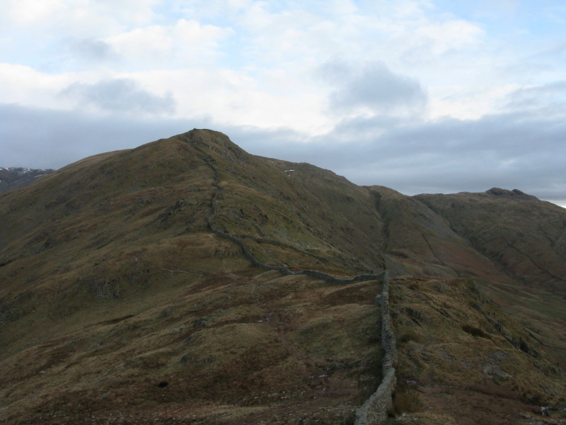
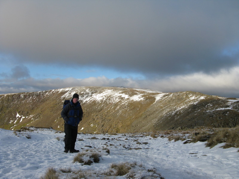
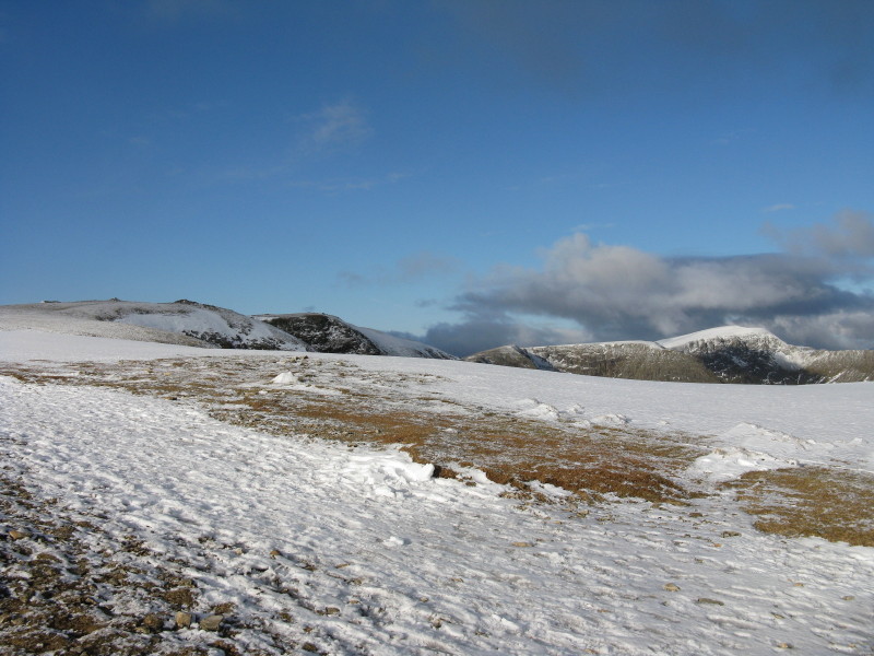
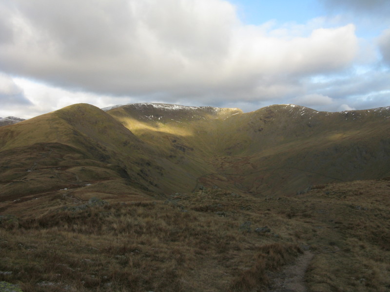
From Low Pike, my first Wainwright summit of the day (of eight, including four
new to me), looking ahead to High Pike
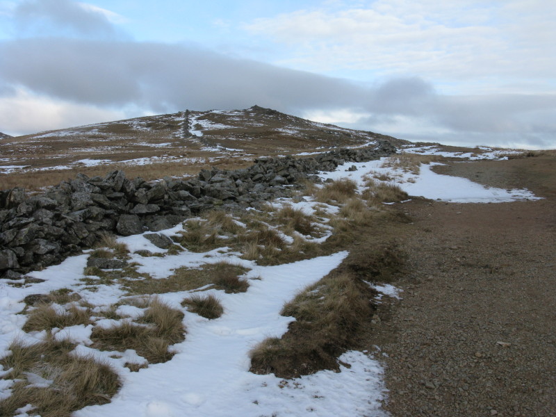
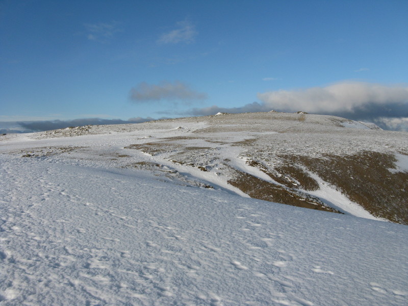
Ascending the ridge of Thack Bottom Edge towards the summit of Dove Crag. The
weather is getting colder, and around this point I put on my overtrousers to
keep out the wind.
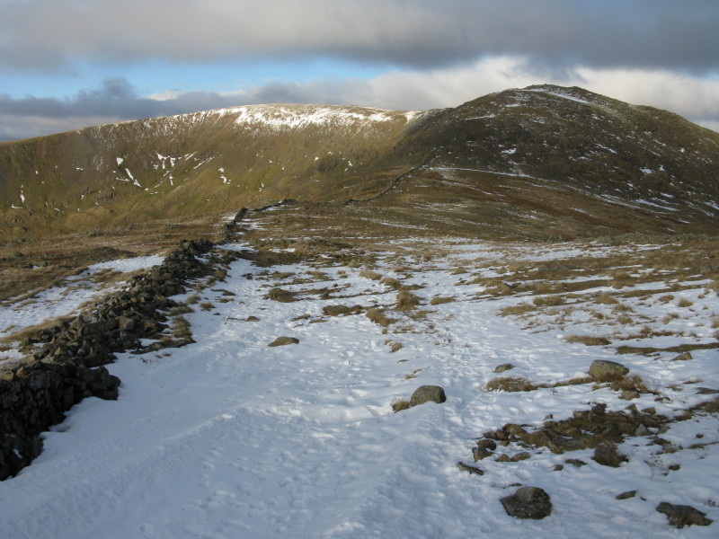
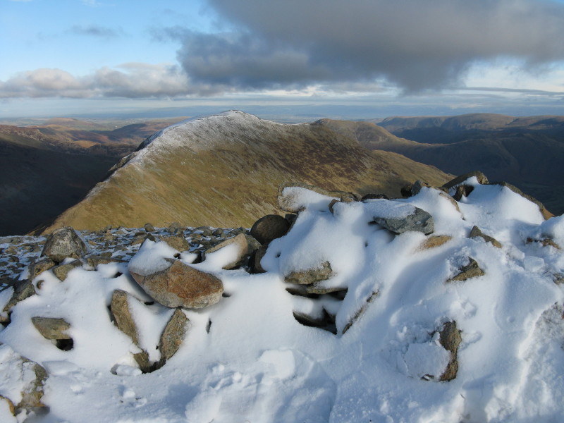
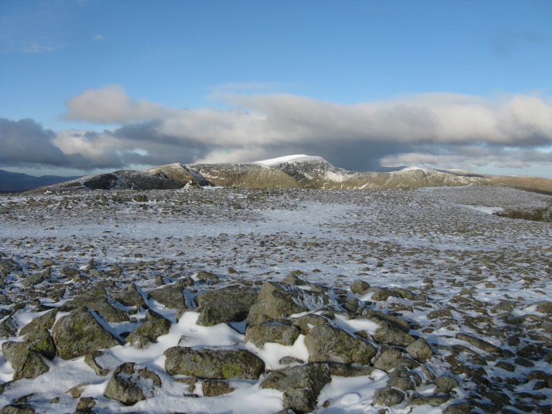
Descending from Dove Crag, looking ahead to Hart Crag (right) and Fairfield
(centre-left)
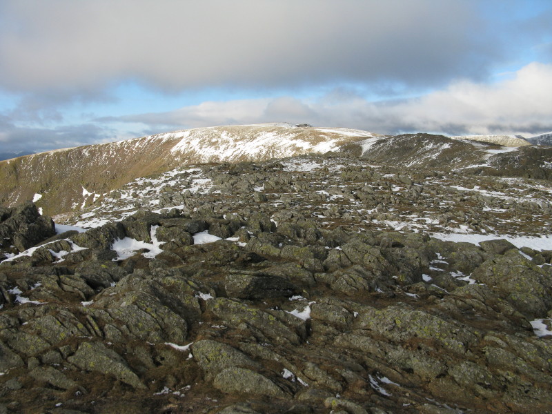
On the summit of Hart Crag, looking ahead to Fairfield
A little later, starting the descent to Link Hause
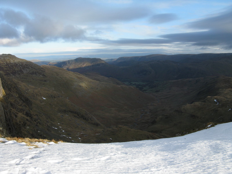
At Link Hause, looking NE down Deepdale
...and south down Rydale to Windermere and beyond that the sea. Having been
walking now for over three hours, I finally passed another walker
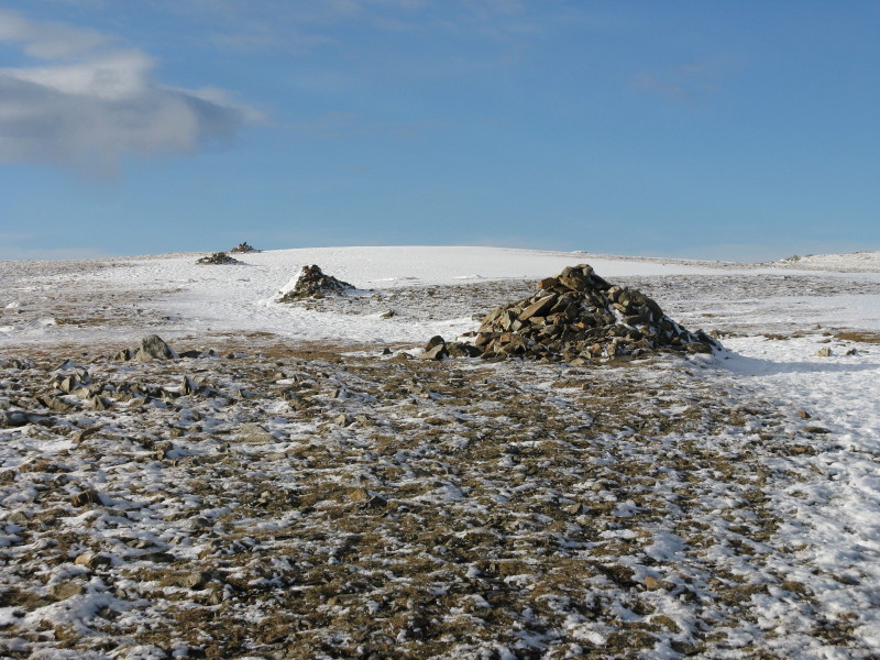
Excessively large cairns marking the way onto the broad summit of Fairfield
The summit of Fairfield, left, with Helvellyn on the right
Approaching the summit of Fairfield. On my
only other
visit to Fairfield, it was thick fog, so it was good to be revisiting in
good visibility.
St-Sunday Crag beyond one of the many summit structures on Fairfield
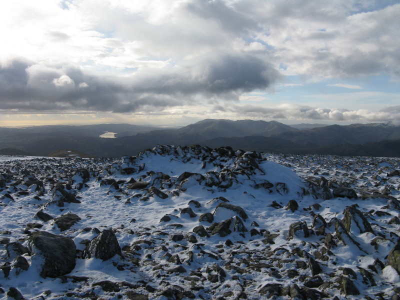
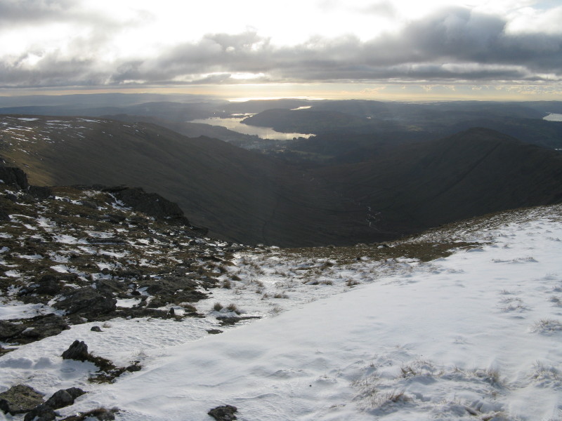
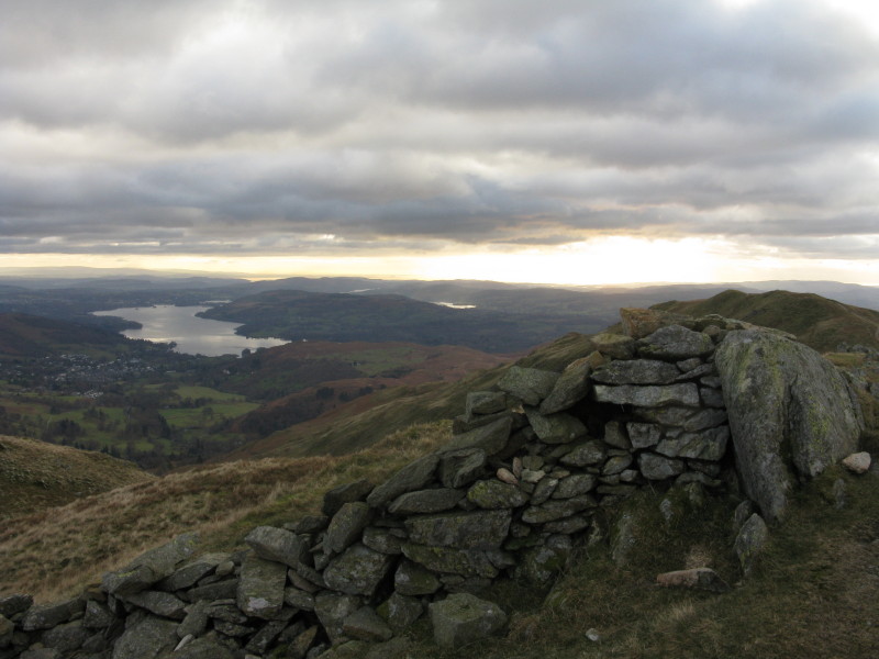
A windshelter, with Coniston Water and the Coniston Fells beyond
Dollywaggon
Pike through to Helvellyn and then
Striding Edge
The summit of Fairfield
Approaching Great Rigg
Heron Pike North Top
Looking back at the skyline route which has formed most of today's walk
Heron Pike, which I visited twice - once for lunch, and again fifteen minutes
later when I came back up to collect my camera which I'd left on the ground.
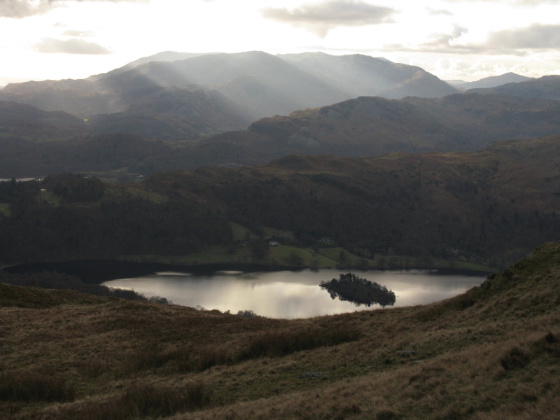
Shafts of sunlight towards the Coniston Fells across Grasmere
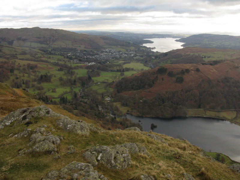
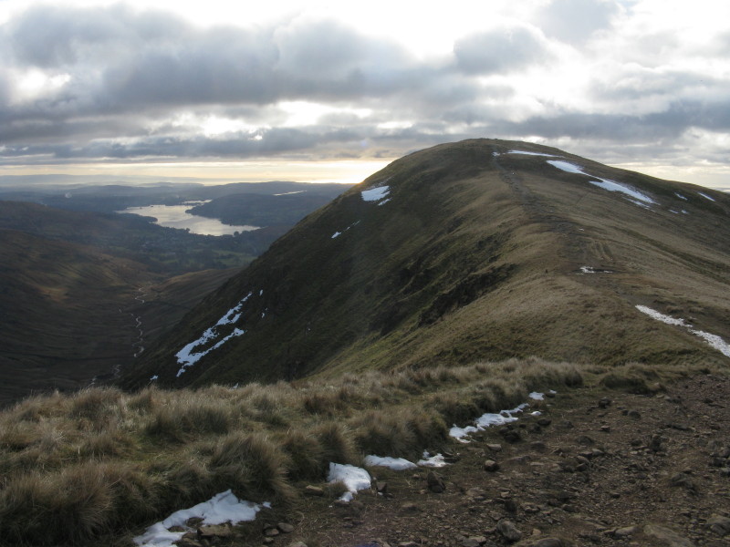
On Nab Scar, looking across Rydal Water to Winderemere. Ambleside and journey's
end is back in sight
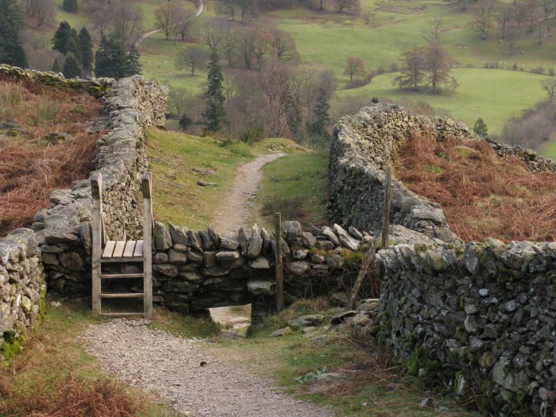
The ladder stile serves a useful purpose in getting walkers over the wall, but
with that huge gap, I wonder how effective the wall is.
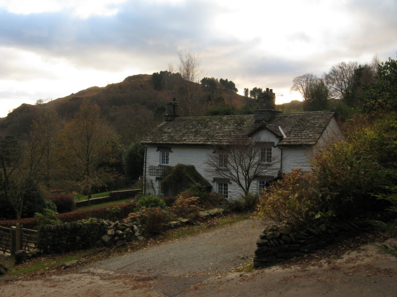
Almost back at valley level, and an attractive cottage in Rydal
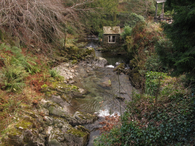
The Grot was built in 1668 to provide a window to frame and enjoy the view of
the Rydal Beck waterfalls, and became famous as part of the Picturesque movement
where the prominent window framed the wild and rugged scene. (See also
Claife
Station for another window on the world.)
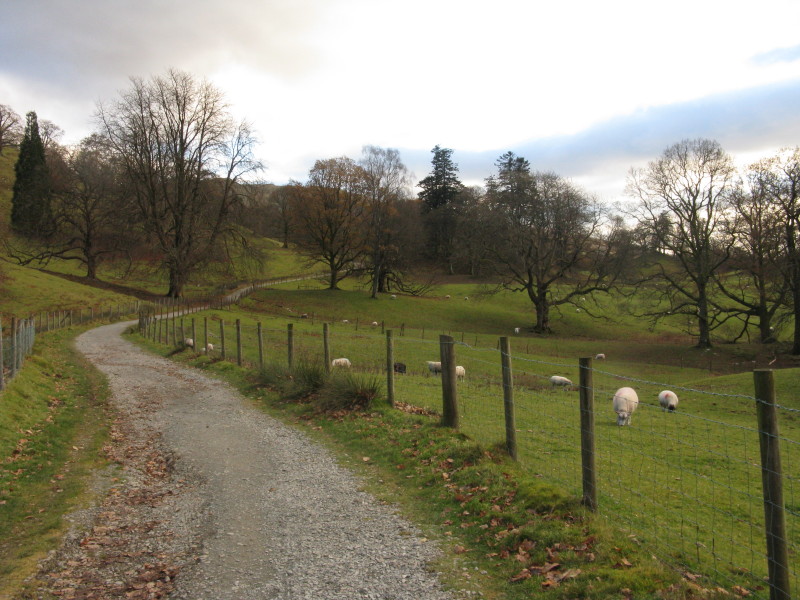
The final stretch of the walk was a pleasant stroll through Rydal Park before
returning to the car in Ambleside.
Zoom in for more detail, or click to view larger map in new window
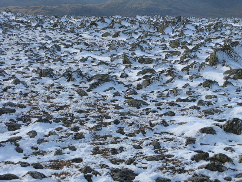
A great walk - a very cold wind on the highest stretch but really no problems at
all with the weather, and only tiny amounts of ice, easy avoided.
Total distance 19.5 km and 1220 metres of ascent in 6 hours 48 mins (including
the return visit to Heron Pike to pick up my camera)
Lake District holiday, November 2010
|
|