Angles Way 1: Thetford to Rymer Point, A134
20 April 2013
The Angles Way is a footpath which is branded "From Broads to Brecks",
which I started in January 2012 from what at that time was one of the ends,
Knettishall Heath, and gradually walked it through to Great Yarmouth along the routes of the Rivers
Little Ouse, Waveney and Yare (and thus broadly the Norfolk/Suffolk border).
However, having thought I'd finished it last week,
I found that the route had been redefined to run to/from Thetford. So today I
returned to the Angles Way to walk half of the extra section from Thetford to
Knettishall Heath.
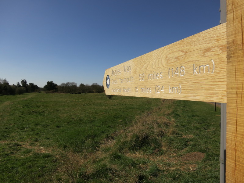
So here I am at the start of the Angles Way, as confirmed by this very new
signpost which shows it is 148 km to Great Yarmouth, and 24 km to Knettishall
Heath - the latter easily doable in a day's walk but I'm doing it in two
sections because of other commitments.
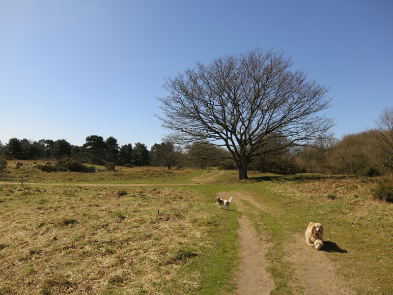
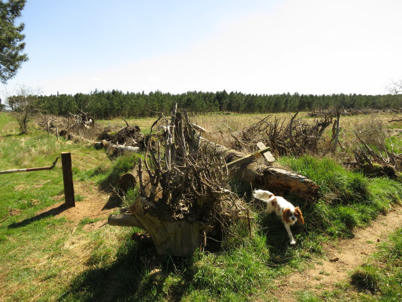
George and Lottie are with me on today's walk, as we make our way across the
delightful common
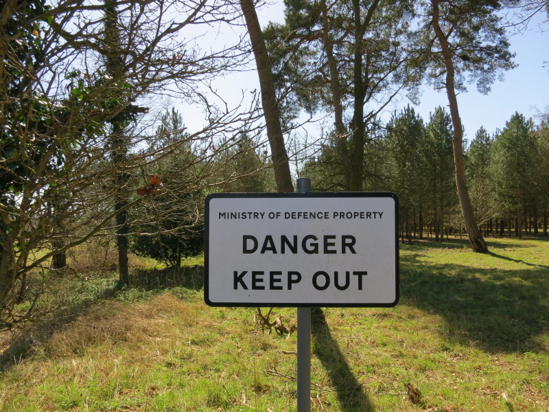
Having crossed Barnhamcross Common, we walk west, a few metres inside Norfolk,
with across the border into Suffolk is RAF Barnham, nowadays used for training
by the RAF Regiment, but previously a storage site for the UK's free-fall
nuclear weapons until they were displaced by Blue Steel.
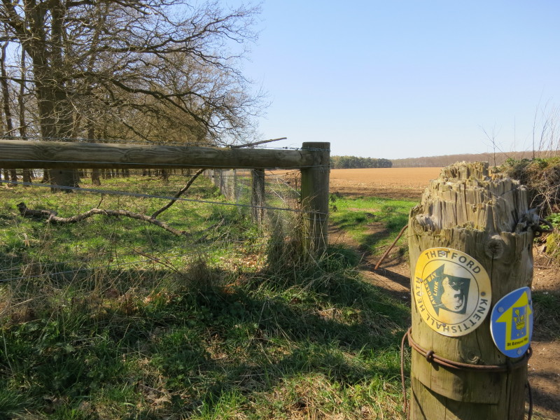
As we prepare to turn left and cross the border into Suffolk, the waymarkers all
say "Angles Way Link", which was how this route was previously described, rather
than being presented as an integral part of the Angles Way. The path we've been
walking along isn't a right of way, so when we turn left onto the next route, we
are on a byway which is a dead-end, an artefact of the way in which local
councils made decisions about what routes should be rights of way and thus
created many oddities at boundaries.
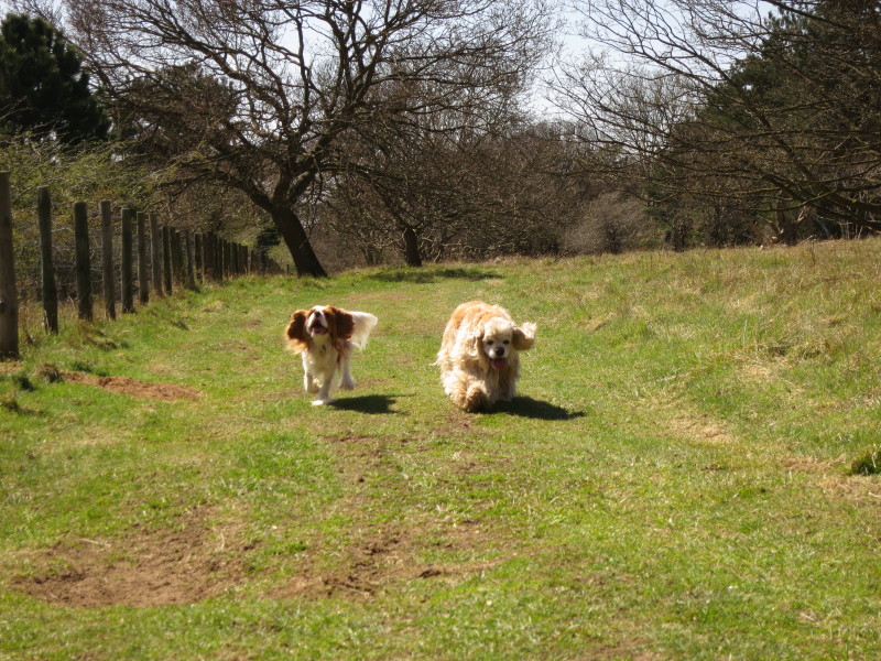
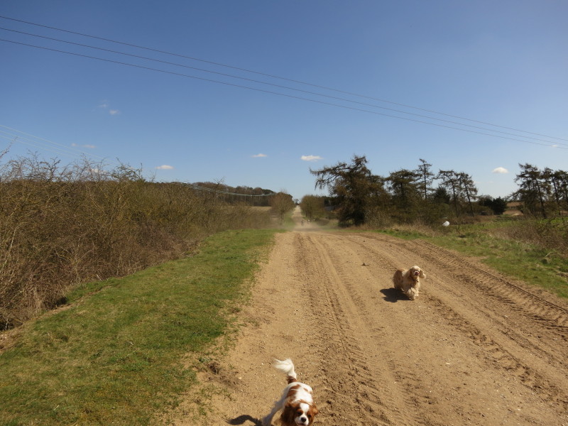
Two dogs having fun on the byway
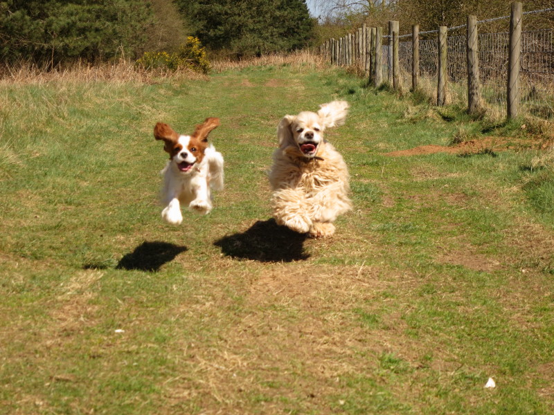
So much fun that they later seem to be flying!
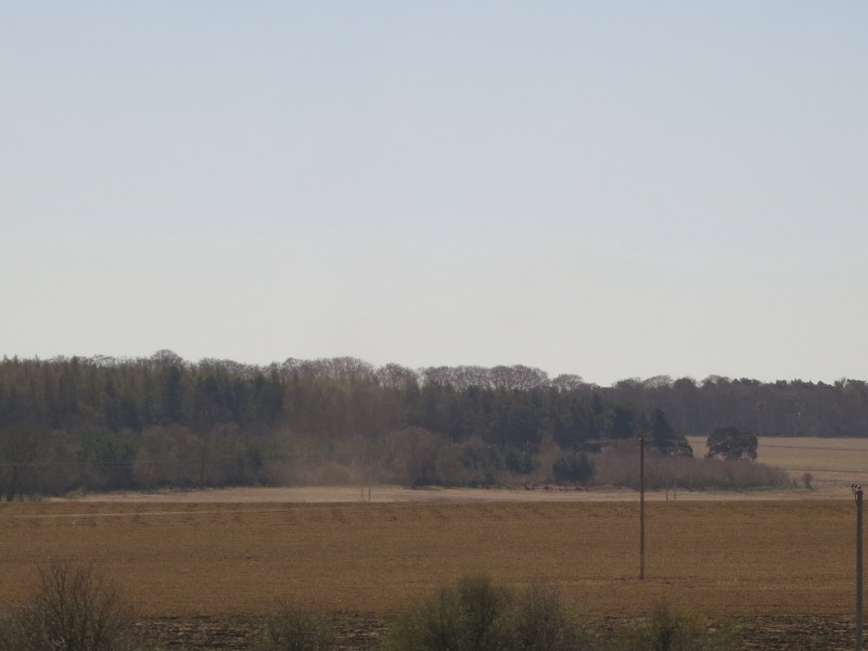
A dust devil in the distance
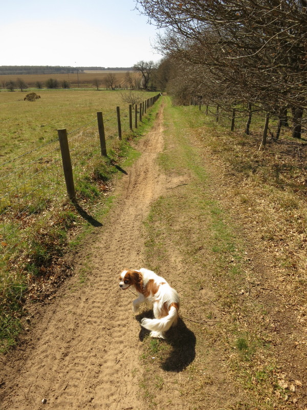
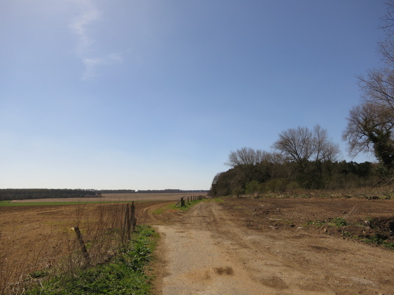
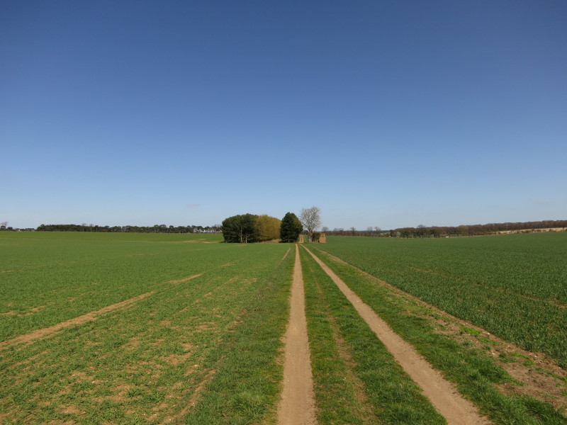
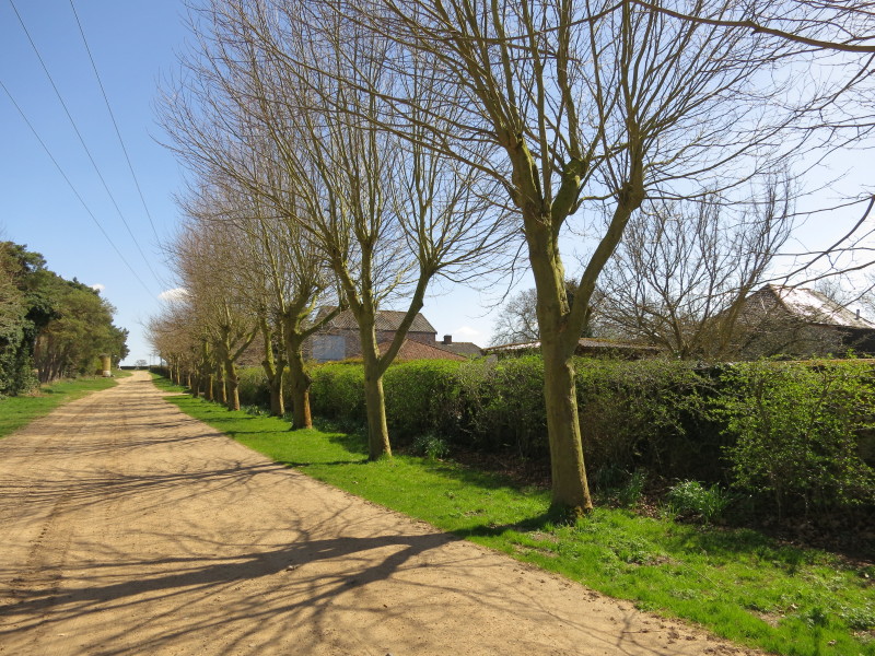
Heading gently downhill
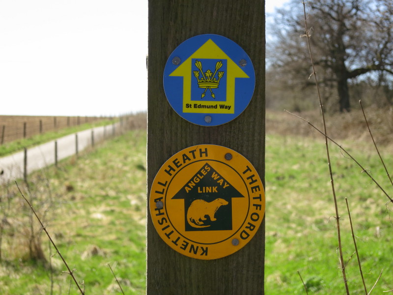
Still on the Angles Way Link as well as the St Edmund Way.
A short section of tarmac byway turns back to a dirt track
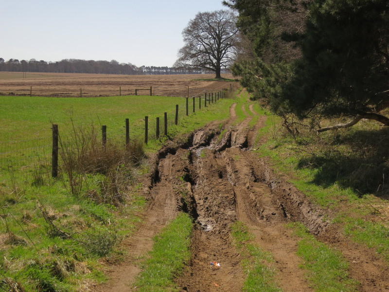
But as this section is a through-route, it has suffered from damage by motor
vehicles, though fortunately only over a short distance.
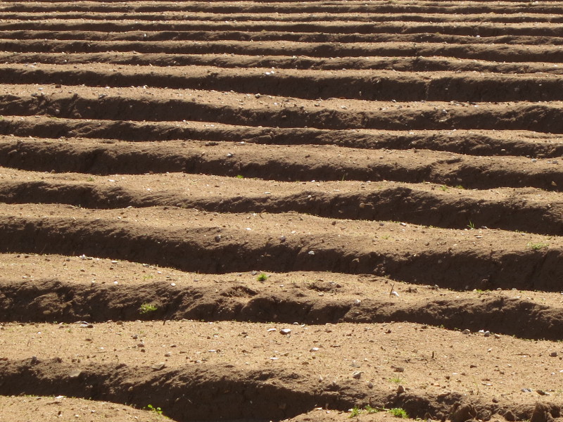
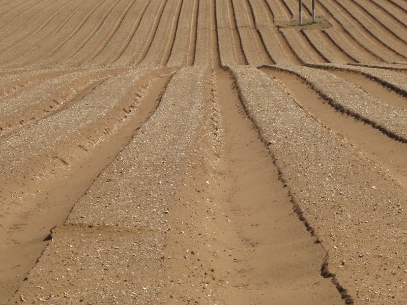
The dry and sandy soil of the field as we walk past.
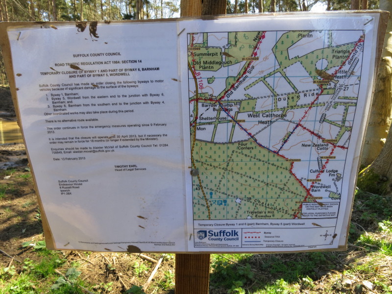
Having commented on the damage done by motor vehicles to the byway, here we find
that Suffolk County Council has taken some action by various byways to motor
vehicles
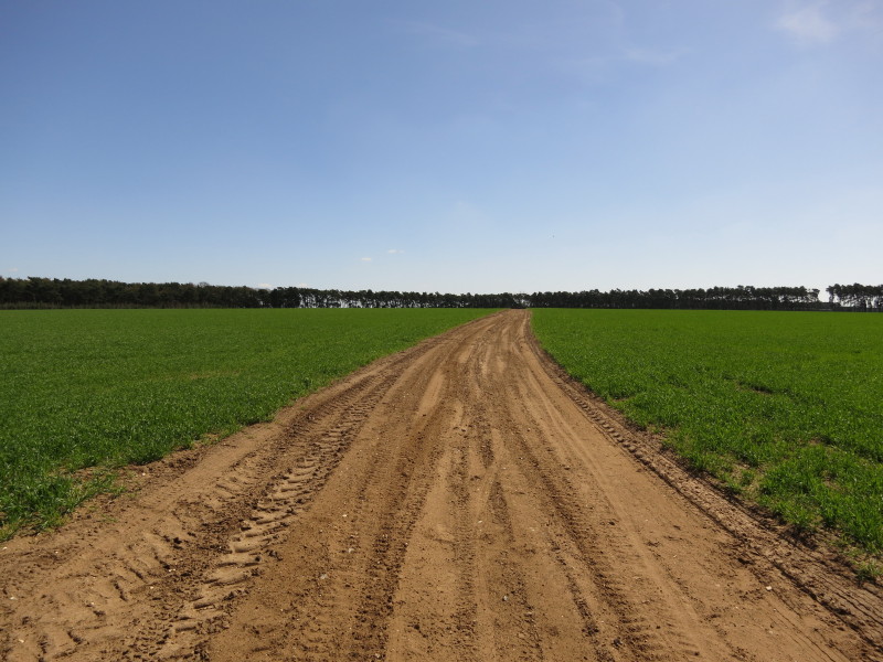
This feels slightly odd - I'm used to walking across the middle of fields on
footpaths or bridleways that have been trodden in to sown crops, but not before
on a byway with a route quite so wide. From here we are also following the route
of the Icknield Way Path all the way to Knettishall Heath.
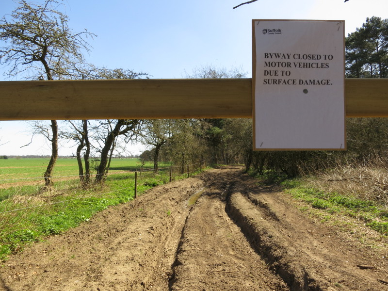
Here's the section with the worst damage, but action has been taken - though no
repair work has been done yet on this section.
Lottie walks away from the sign that has fallen over, looking not at all guilty.
After heading south-west for a long time, then south-east, we are now heading
north-east for a while.
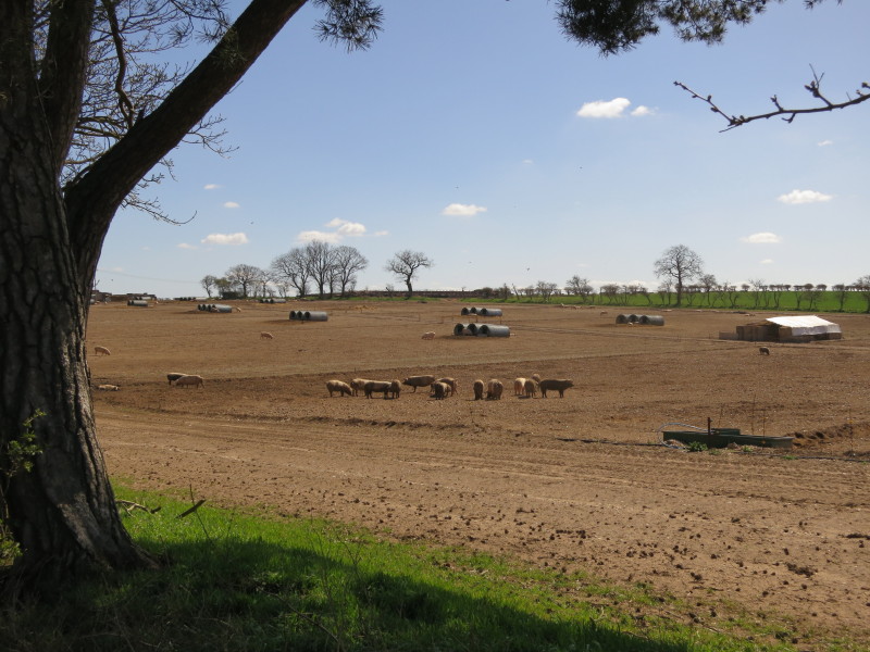
Passing pigs as well as arable fields
In the distance a group of motorcyclists who've accelerated rapidly once they
were safely past us.
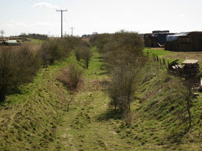
Looking down on the trackbed of the Thetford to Bury St Edmunds railway, opened
in 1876 and closed in 1960.
Passing the intriguingly named New Zealand Cottages
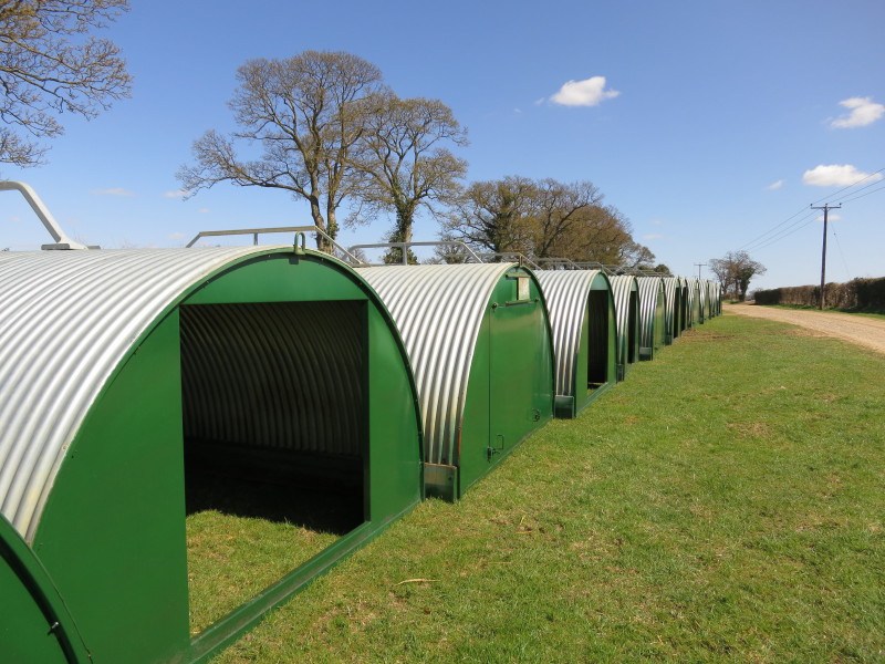
New pig pens ready for putting in the fields
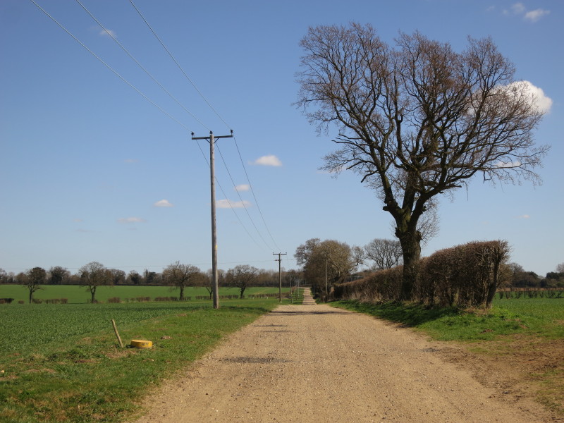
The final stretch: at the end is the A134 road where we waited for just a few
minutes for Lucy to pick us up.
Total walk was 12.5 km in a very gentle 3 hours 10 mins.


|