Lake District: Knott Rigg, Ard Crags, Scar Crags, Causey Pike, Outerside, Stile End
and Barrow
24 November 2013
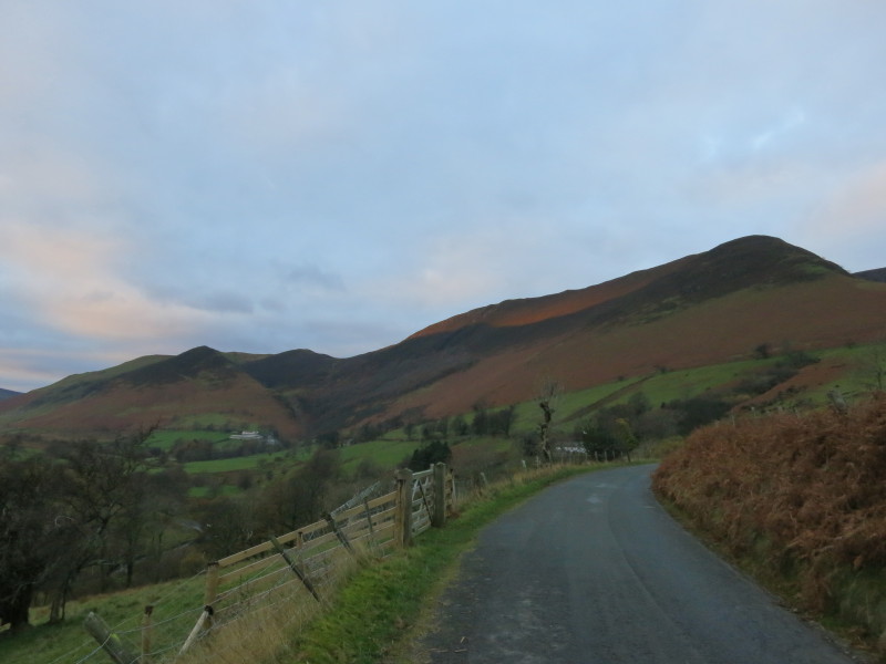
After parking the car by Newlands Beck just south-west of Little Town, we have
gained the road and are heading for Keskadale Farm (centre left) where we will
strike off up the hill.
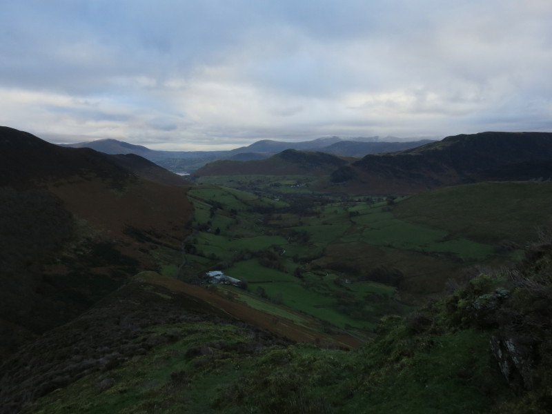
Gaining height, a look back down the valley, with a glimpse of Derwent Water
Heading for Knott Rigg on the left, our first summit of the day
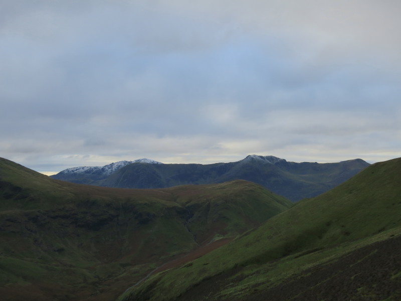
From near the summit of Knott Rigg a look across the western shoulder of
Robinson to the High Crag to Red Pike ridge, with the snowy Pillar peeking out
above High Crag
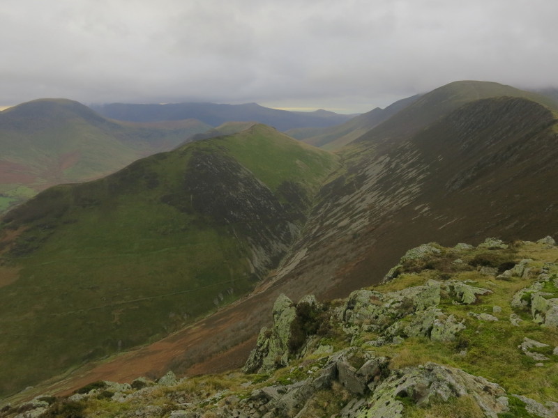
From the same spot, the nearer and lower ridge to Ard Crags is our next
destination, then down into the valley of Rigg Beck and on to Causey Pike
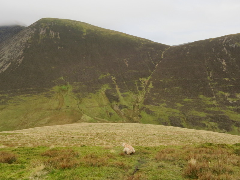
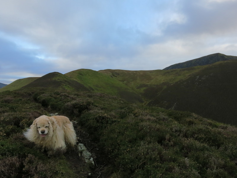
After visiting Ard Crags, George shows the way down into the valley of Rigg
Beck. Our route from the valley bottom then initially heads up towards the
summit of Sail on the left, but soon after entering the darker vegetation our
route then heads to the col centre-right.
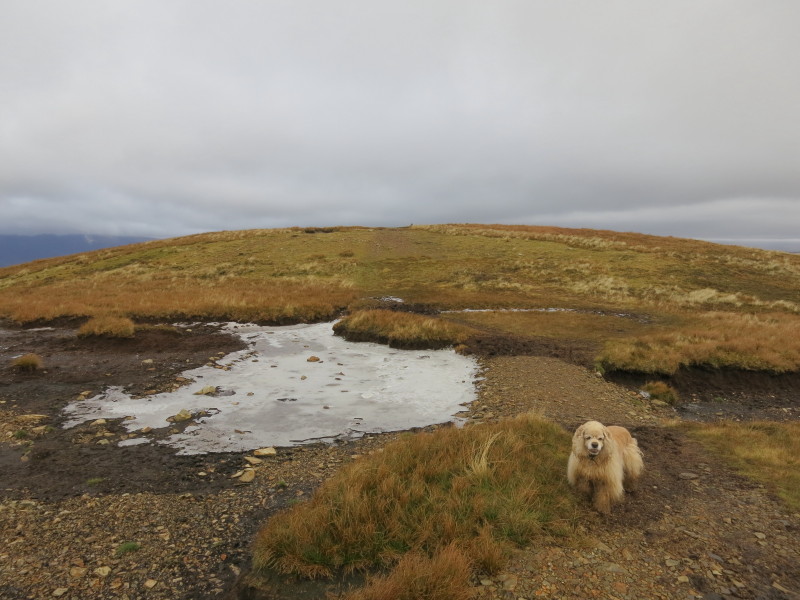
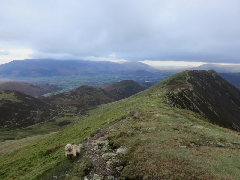
After that steep drop into Rigg Beck and the stiff pull back up to the col, for
a while the going is easy here near the summit of Scar Crags
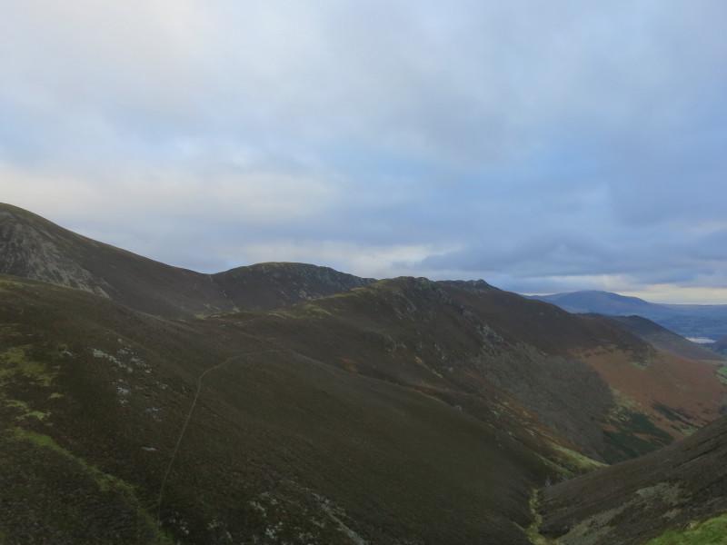
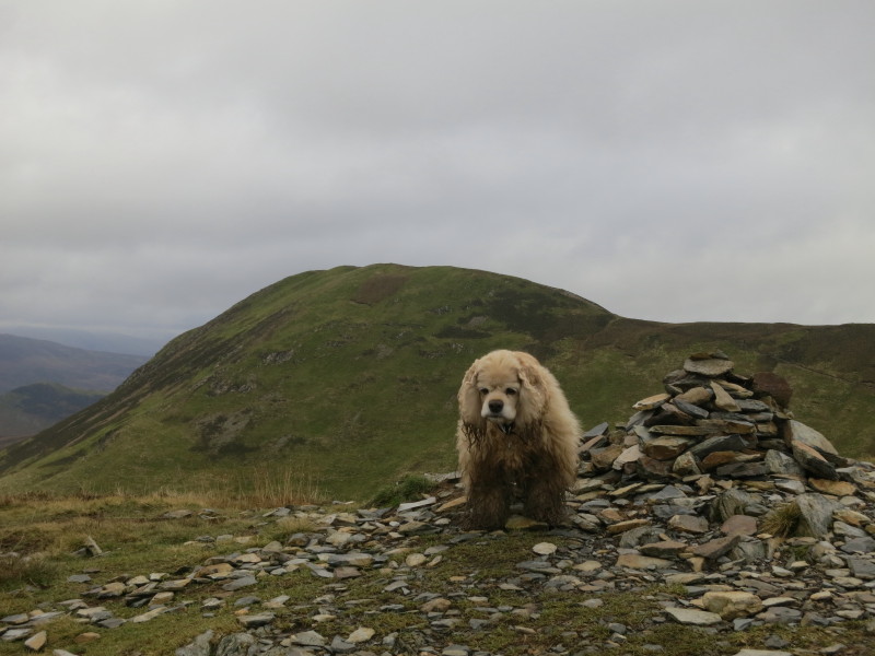
On Scar Crags, looking along the ridge to our next destination, Causey Pike
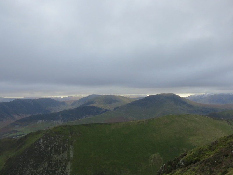
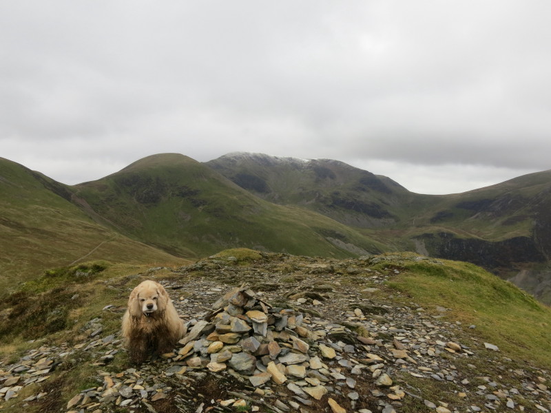
A look back to the Ard Crags ridge in the foreground, with Robinson in the
middle distance.
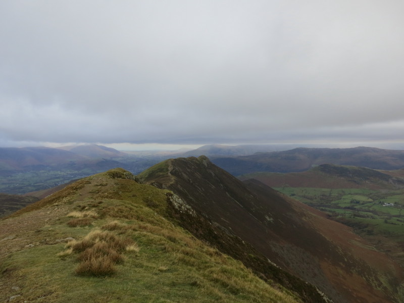
In the distance Skiddaw and Blencathra have their heads in the clouds; in the
foreground Outerside, Stile End and Barrow will be our destinations later but
first it is on to Causey Pike
A similar view to the last picture, but showing more of our route to Causey Pike
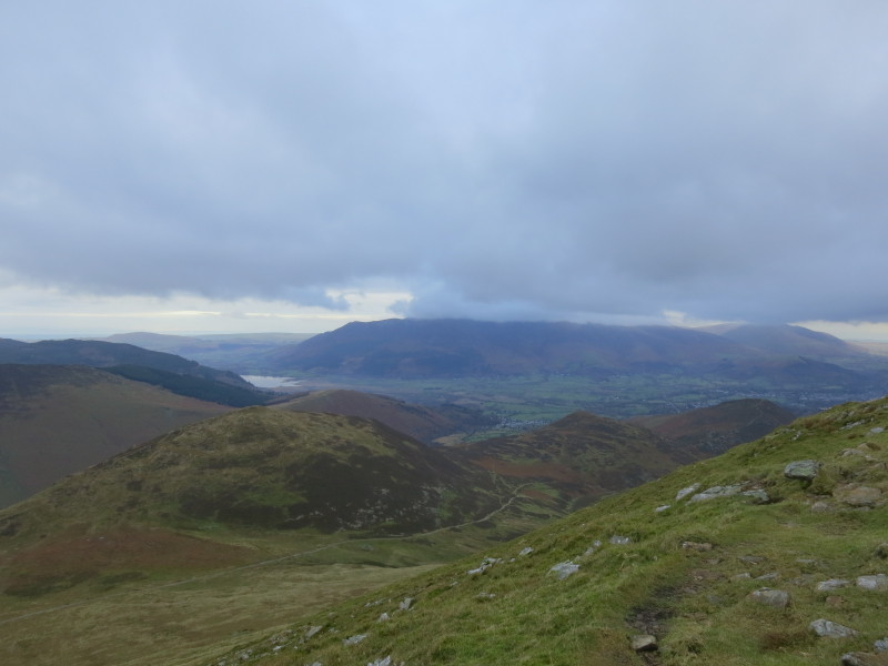
On Causey Pike, with part of Derwent Water below
Looking back up the valley of Rigg Beck, with our earlier two ridges centre
left, and the descent to Rigg Beck and climb back to the Sail-Scar Crags col
well shown
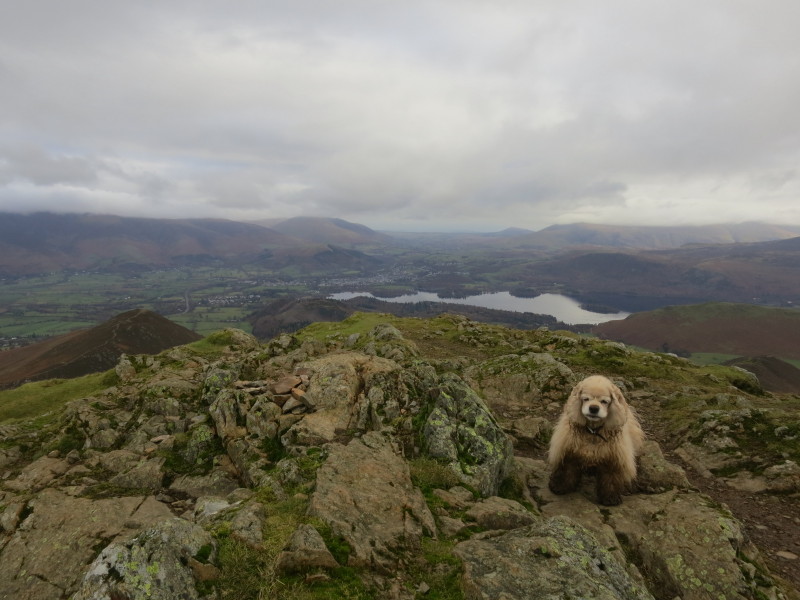
After a descent from Causey Pike to High Moss, there is just a short climb to
Outerside here, from where there is another view of Causey Pike
Another picture from Outerside, a good view up to the Grasmoor massif. From here
we descended over Stile End and Barrow, then a long descent towards Braithwaite
before taking the road back to the car at Chapel Bridge.
This was a walk which included several descents and ascents not marked on OS
maps, but presented no difficulties other than a bit of mud in places. It would
be better without the cloud, but still some grand views.
Total distance 17.4 km and 1127 metres of ascent in 6 hours 57 mins
Lake District weekend, November 2013
|
|