Lake District: Hen Comb
25 November 2013
Hen Comb may in some ways be regarded as belonging to Loweswater, and a
superficial look at a map might suggest an approach from that direction, but
there's no easy way with dry feet, with large streams blocking access. From the
"back", however, it is an easy walk from Ennerdale.

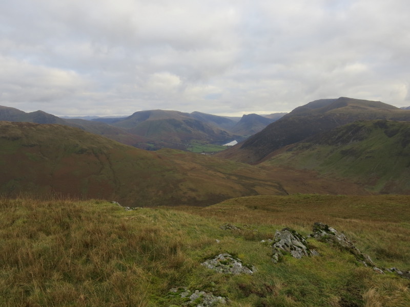
We gain some height out of Ennerdale, passing to the north of Herdus
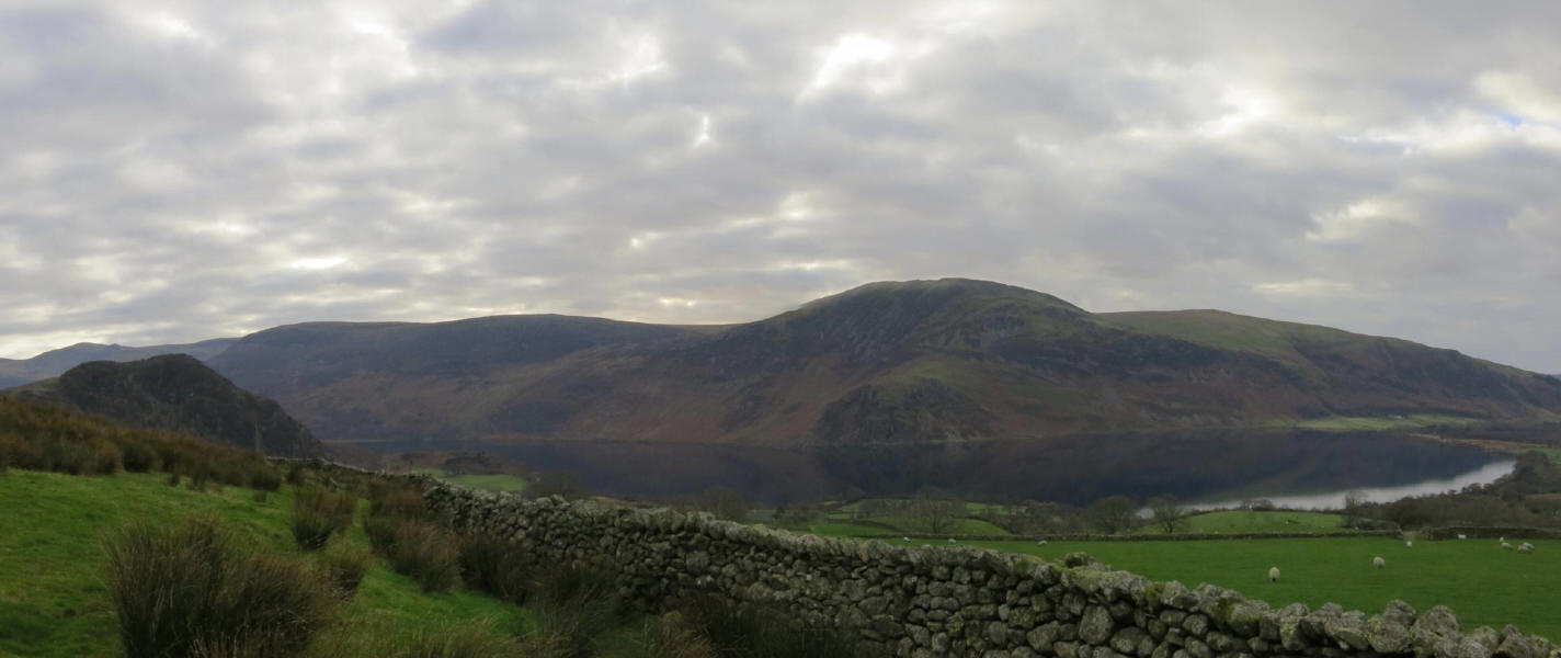
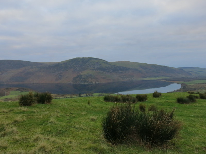
Looking back on Ennerdale Water
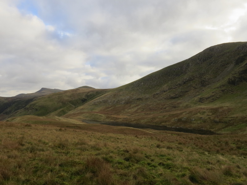
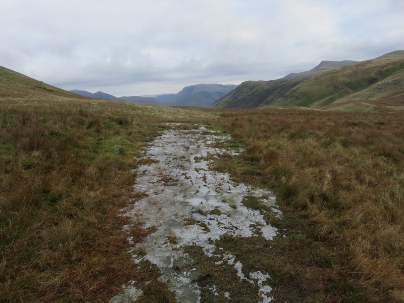
Floutern Tarn from near the col. From here there is a small descent to the edge
of Whiteoak Moss before the ascent of Hen Comb itself. Although much of the walk
was somewhat squelchy, it was nowhere boggy or difficult.
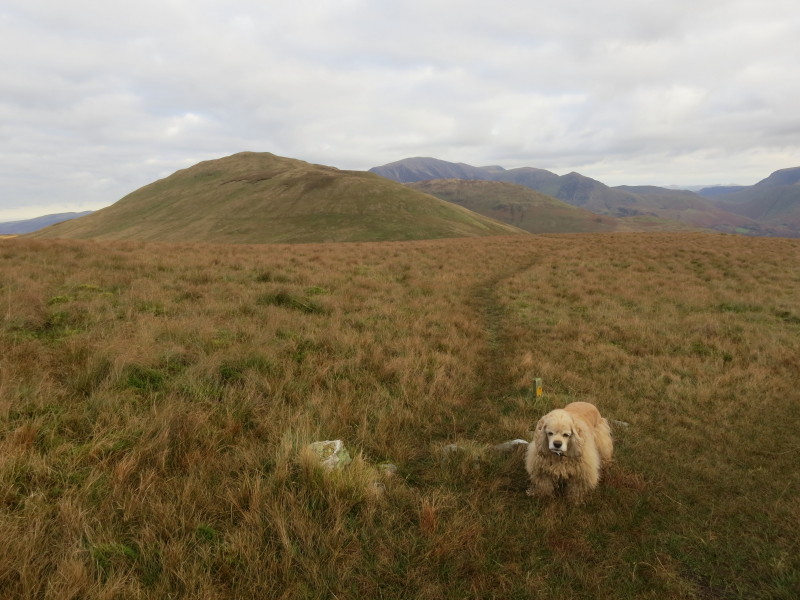
Hen Comb on the left. It wasn't clear whether these few stones were an attempt
at a barrier to encourage people to stick to the public bridleway which heads
more to the right, or the function of the short post, but in any case there was
a reasonably clear trod on the route I'd marked out for myself on the map, and
the way was easy.

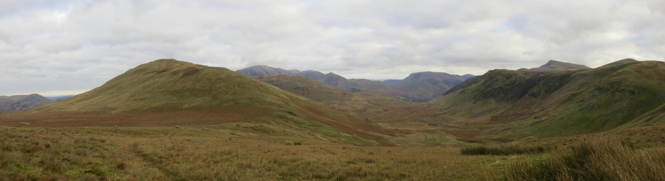
Hen Comb is on the left, with upper Mosedale on the right below Gale Fell.
Mosedale curves to the left between Hen Comb and Mellbreak. Hidden beyond
Mellbreak is Crummock Water, with the Grasmoor massif beyond.
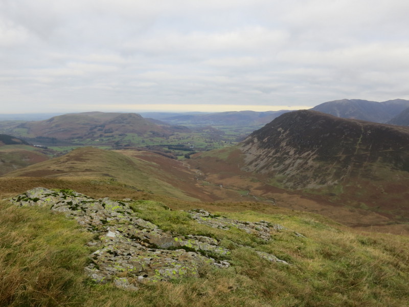
On Hen Comb, looking at the lower part of Mosedale with Mellbreak on the right.
From Hen Comb, a look along Buttermere (mostly dark but with a small bit of sky
reflection) surrounded by high fells. Unknown to me at the time, a couple of
friends from Suffolk were walking around Buttermere at the time - cue references
to small world, etc.
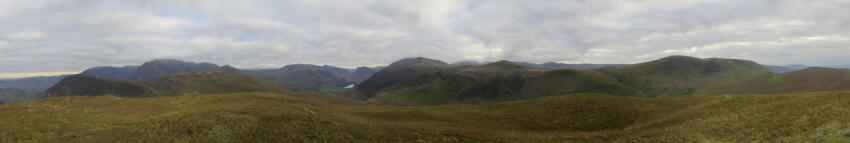
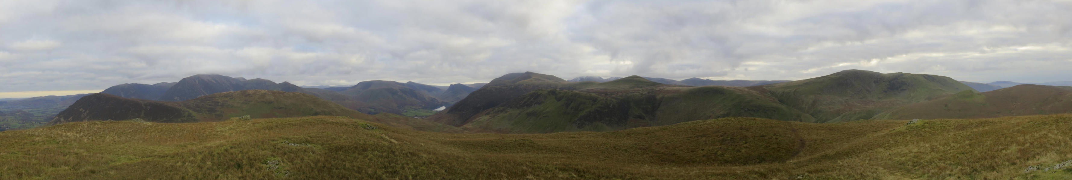
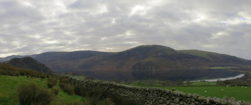
A panoramic view from Hen Comb (click picture for a larger version), extending
from Grasmoor past Buttermere and the High Stile ridge to the Ennerdale fells
Heading back
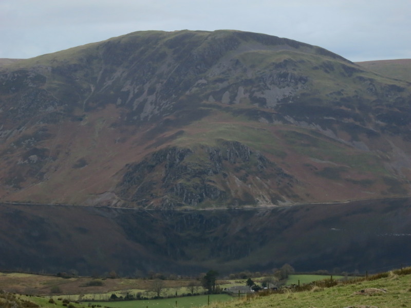
Reflections of Crag Fell in Ennerdale Water
Another slightly dreary day but another quiet walk exploring new country to me -
I passed one person today.
Total distance 8.4 km and 468 metres of ascent in 3 hours 24 mins
Lake District weekend, November 2013
|
|