Selside Pike and Branstree
31 December 2011
After yesterday's short walk, today the forecast was for the best
weather in the north and east, so I took the dogs to Haweswater from
where we tackled some fells I hadn't been to before on the ridge between
Mardale and Swindale.
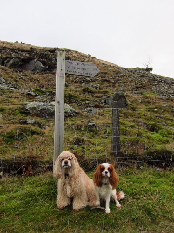
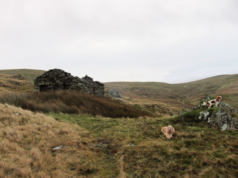
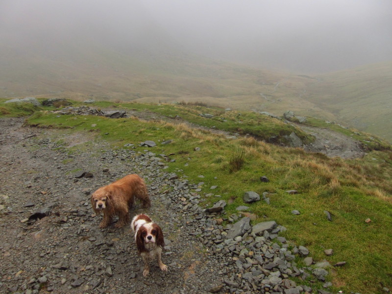
About to climb the Old Corpse Road – watch out for ghosts!
Two lively dogs on the Old Corpse Road
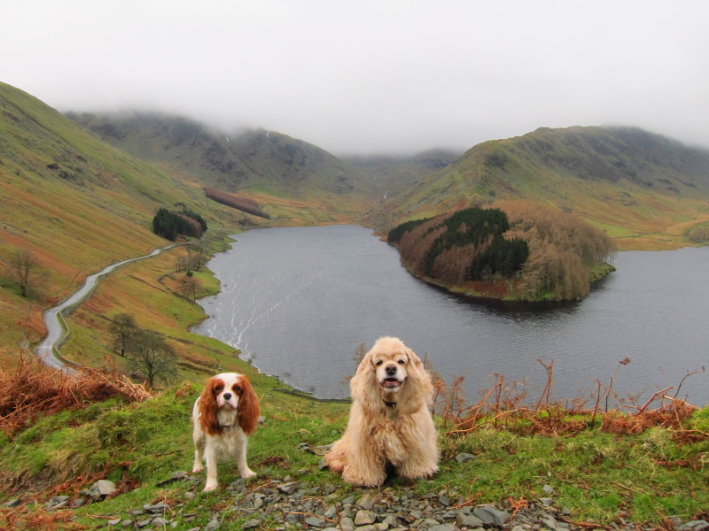
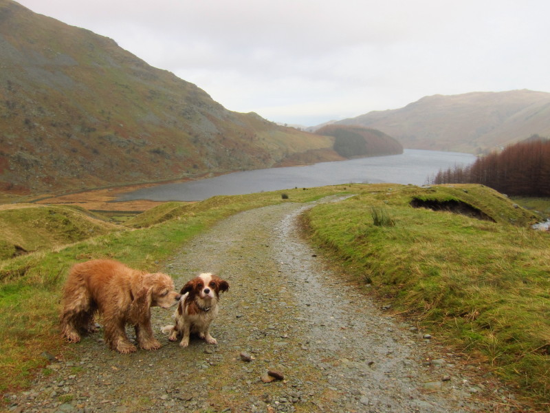
A lovely view back to Haweswater behind the dogs
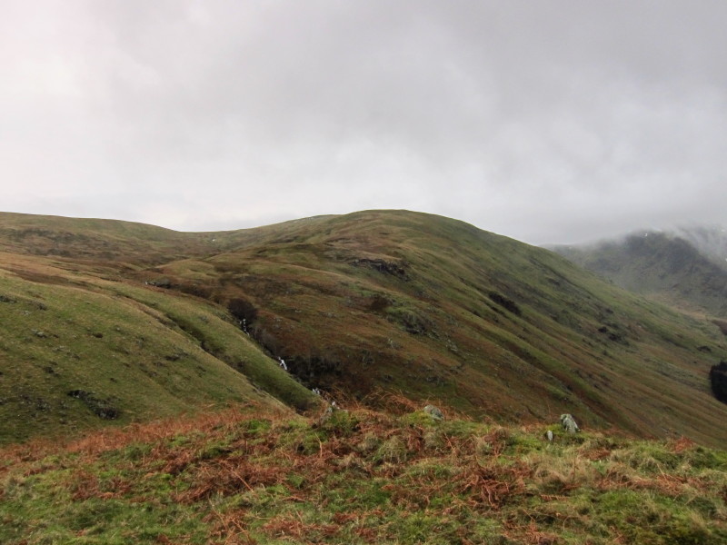
Along the lakeside to Branstree, the third summit of the day
Hetty looks out while George takes a break (and works on reinforcing the knots
on his tummy)
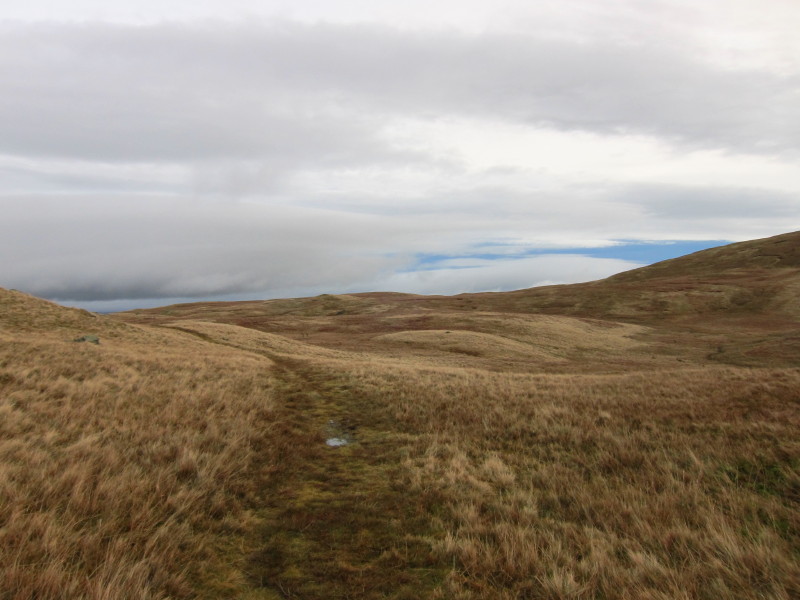
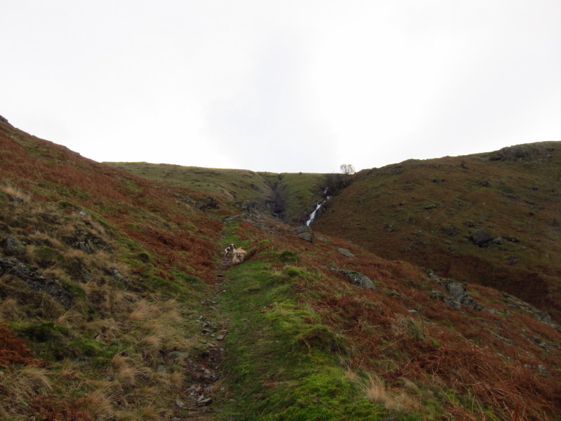
The Old Corpse Road heading towards Swindale. The shoulder of Selside Pike comes
down on the right, and will be our route up to the top. There is a wooden post
which conveniently marks the point to leave the main path.
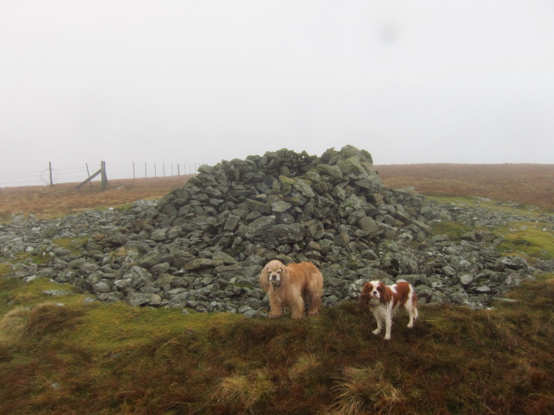
Soon after leaving the main path to climb up Selside Pike, the rain started and
the cloud started to descend. This is the wind shelter near the summit of
Selside Pike, Hetty's first Wainwright
summit - and first Nuttall
too.
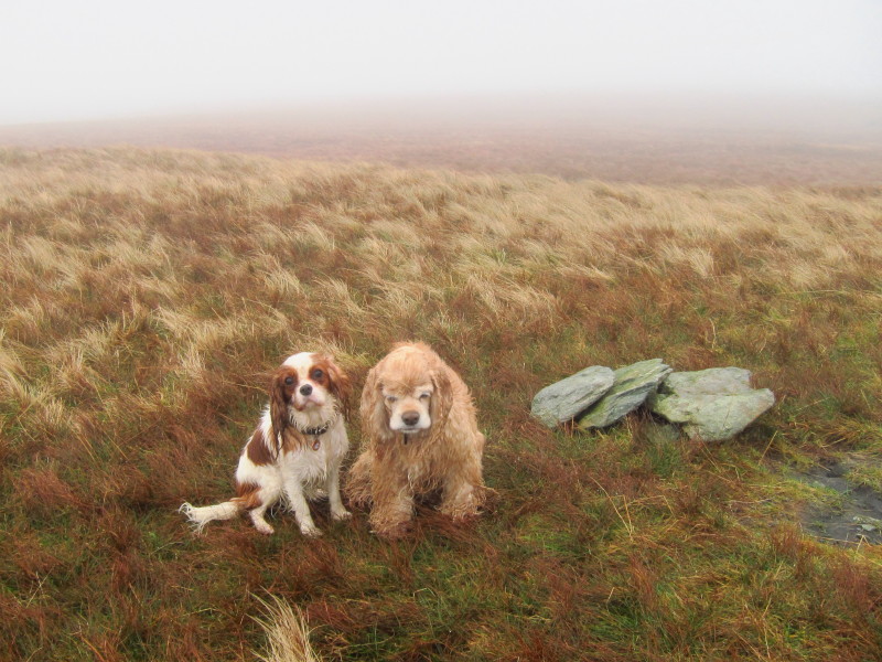
Two slightly soggy dogs on the minor summit of Branstree, sometimes called
Branstree North East Top or sometimes High Howes. On my current count, this was
George's 200th hill summit, though I suspect I may have missed counting a few
little ones in earlier days.
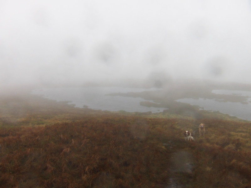
On our way to the main summit of Branstree, and the rain is heavier and the wind
stronger. The path takes an interesting route across the narrow bit of land
between these two tarns. That on the left (south) looks like a heart shape on a
map.
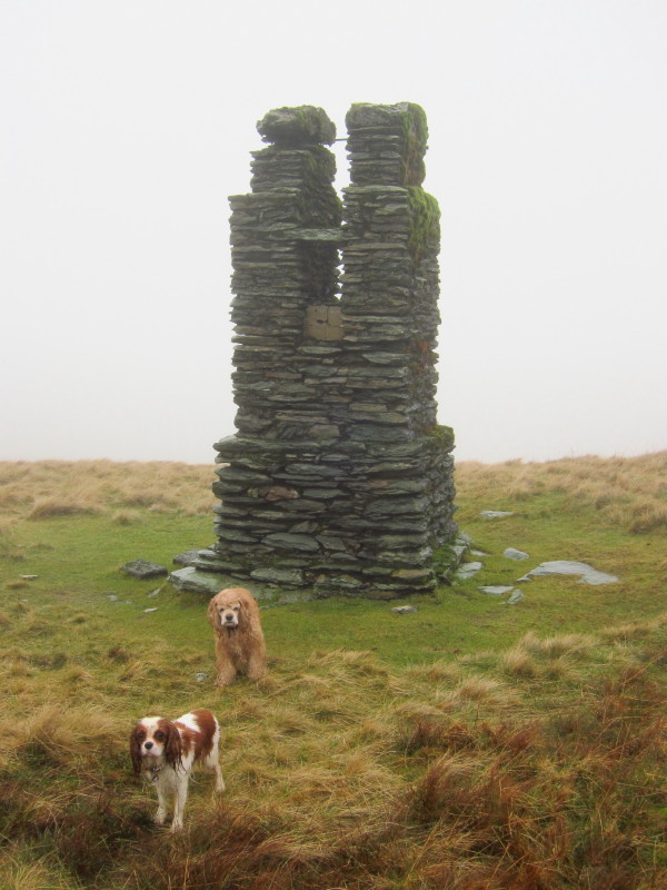
One of the survey towers used in construction of the Longsleddale Tunnel of the
Haweswater Aqueduct - I saw another on my
visit to Tarn Crag
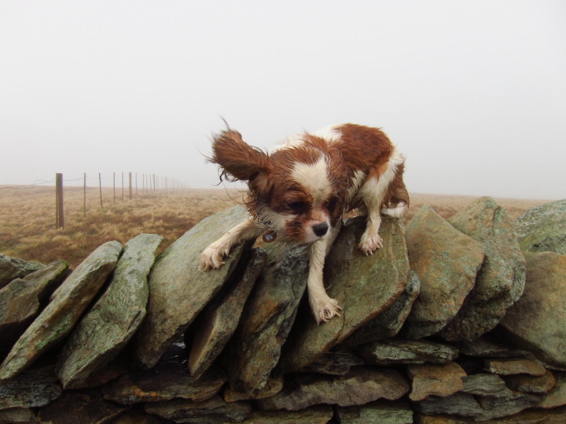
Almost at the top of Branstree, but first this stone wall and fence to
negotiate. Although there were some cross-stones which enabled me to carefully
cross, they weren't suitable for the dogs so I first put the dogs on top of the
wall, climbed over myself, and lifted them down. Hetty wasn't keen, but I think
mainly about being wet in the strong wind. She was fine while she kept moving
but got cold if she stood still for long.
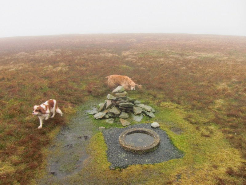
The cairn and survey point on Branstree, though perhaps not quite the highest
point.
After a wet descent from Branstree alongside the fence, the way down from
Gatescarth Pass is easy on the well engineered zigzags.
Almost back at Haweswater
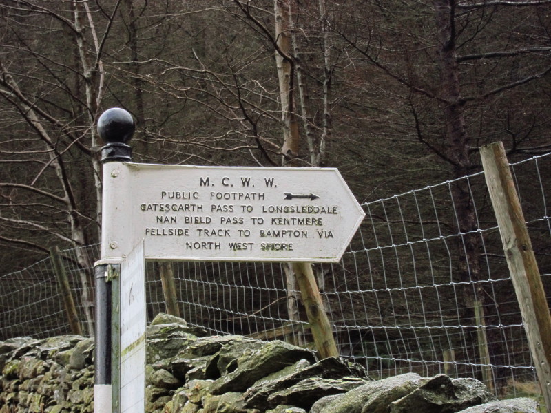
A Manchester Corporation Water Works sign - when Haweswater reservoir was
created, the corporation rebuilt the road at a higher level and a made number of
other investments, including this sign. Only a short walk now along the road
back to the car.
A shame about the weather - no doubt the views would be excellent, and the going
underfoot was generally very good.
Total distance 10.0 km and 598 metres of ascent in 3 hours 34 mins
Lake District holiday, New Year 2011/2012
|
|